BC Highway 20, Bella Coola to Williams Lake
The plan for this 58-day trip is to have very little backtracking, and very few days that focus on the destination instead of the journey, but Day 12, Thursday, May 5th, required both of those to get back to Williams Lake. It would be a longer day for all of us than I would prefer.
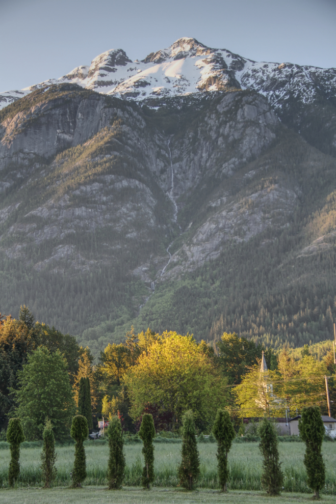
The view from the RV at 06:30 made me none too anxious to leave. We only had 454 km (282 mi) to drive, and my dinner date wasn’t until 7:00 pm.
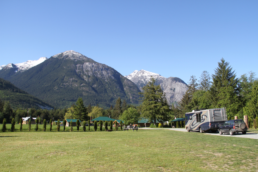
Just after 09:30, we were all set to go. I would definitely come back to the Rip Rap Campsite if Cathy and I return.
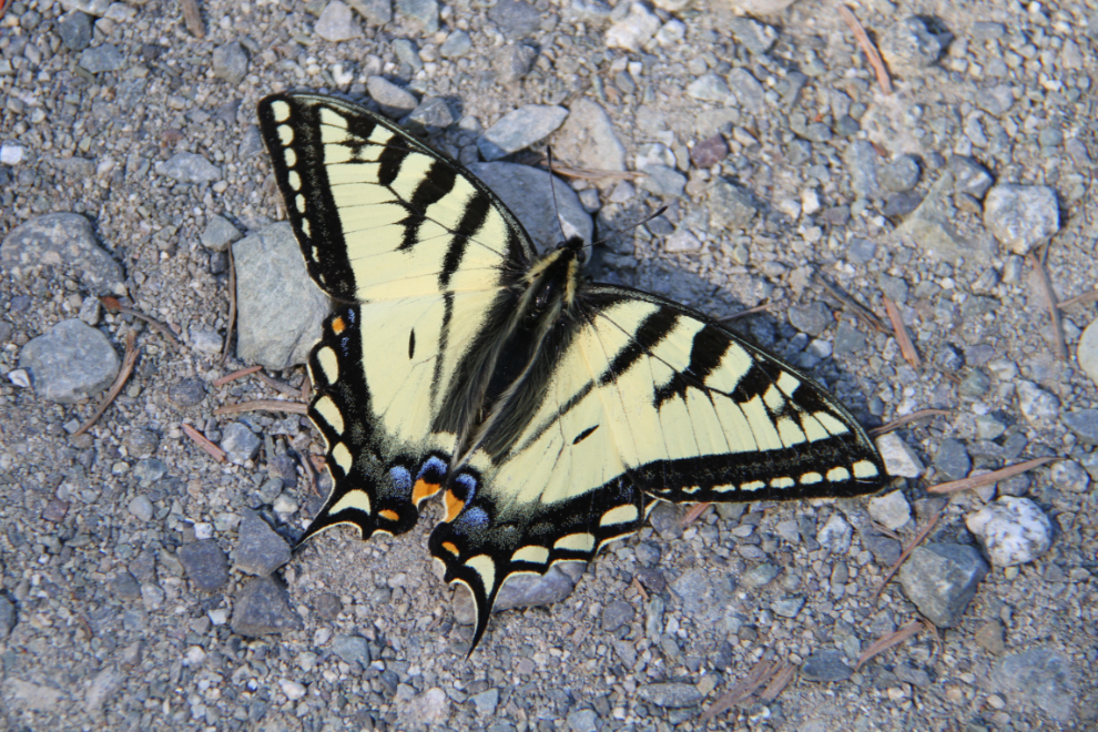
I stopped at the foot of The Hill to make sure that everything was secure, and found this unfortunate hitch-hiker in the grill. I gently took him off as he looked undamaged, but he didn’t look like he’d survive. 🙁
I was going to walk across the road to a rest area to dump a bit of garbage I’d missed, but then thought better of it!
The climb up The Hill was uneventful. I’d never climbed anything that steep with the RV, but in first gear there was loads of power from the 6.8 litre V-10, although I could have used another gear – the 6-speed Allison doesn’t give quite a fine enough split.
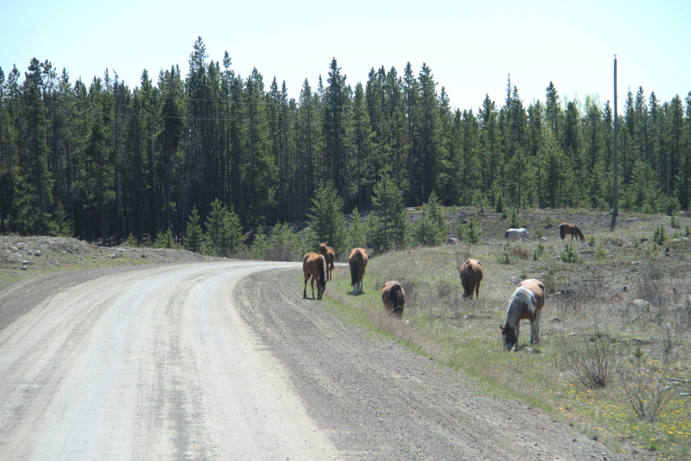
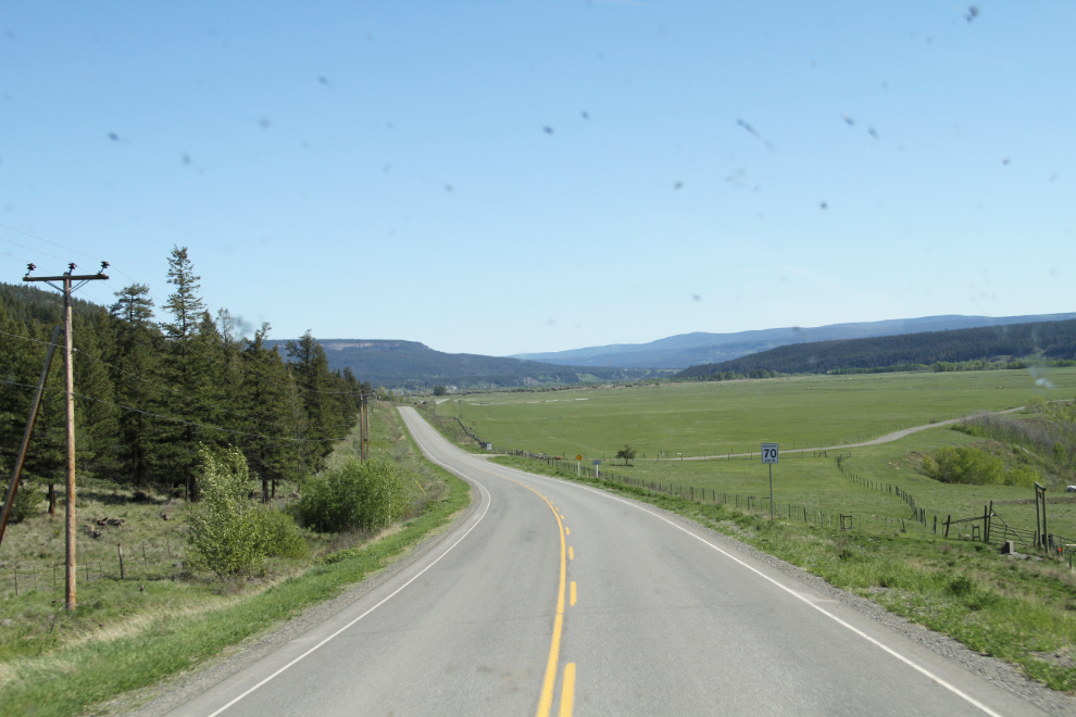
Up on top, we were soon into open grazing country, with horses along the road at a few places.
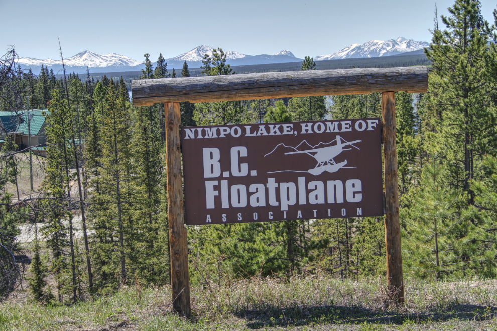
“Nimpo Lake, Home of B.C. Floatplane Association” – there must be more to the community than is obvious from the highway.
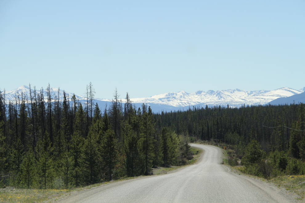
We made a few stops for short walks, and by 1:30 still had a long way to go.
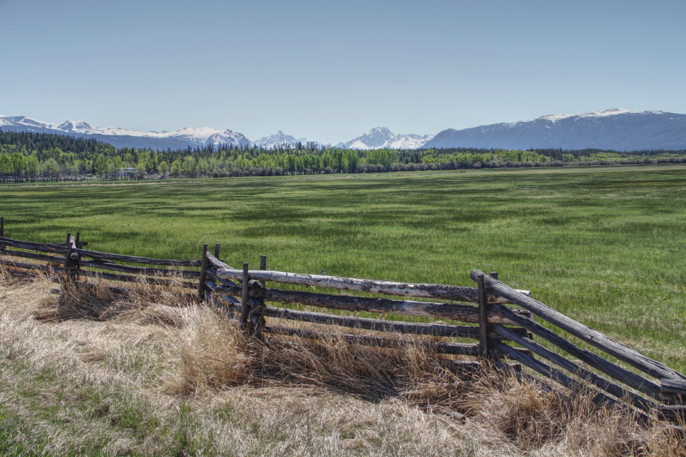
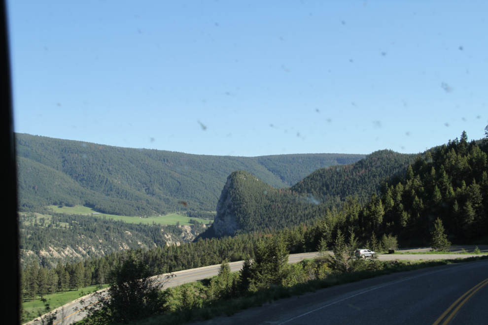
This spot stopped me for a photo on the way in to Bella Coola as well – these zig-zag rail fences seem to be the norm in this country still. Seems to me there’s a special name for them, but I can’t remember or find it.
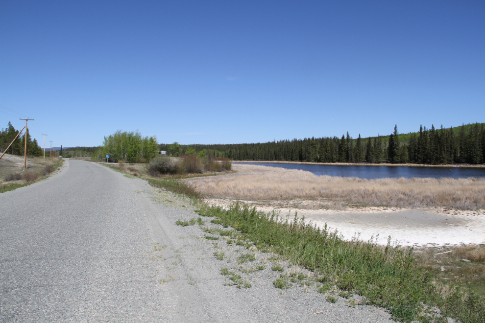
We stopped at the Pollywog Marsh Rest Area again, and it turned into a very long walk-stop.

Another hour and a quarter or so to go.
When Sharon toured me around the area last October, I climbed to the top of Doc English Bluff in the near-dark. Some day I’ll do it again with good light 🙂
I parked the rig at a pullout above Sharon’s place at 5:30, and she showed up a few minutes later – her plans had changed so there was no need to wait until 7. She’s an excellent cook, and a walk with her dog at a bird sanctuary after dinner made for a perfect evening.
The next day, the lower Thompson River and the Fraser Canyon would provide a busy, exceptionally scenic journey.