BC RVing: Wells Gray Park to Williams Lake and Farwell Canyon
In my last post, I had just left Wells Gray Provincial Park on Saturday, October 3rd, day 25 of the trip. Saturday and Sunday were mainly visits with friends from high school near 100 Mile House and Williams Lake, but I got some touring done as well, notably to Farwell Canyon to the west of Williams Lake.
The roads travelled on most days during this trip have been easy to locate on a map, but as these 2 days are on Roads Less Travelled, here’s a map. Click here to open an interactive map of the route, in a new window.
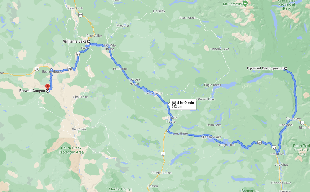
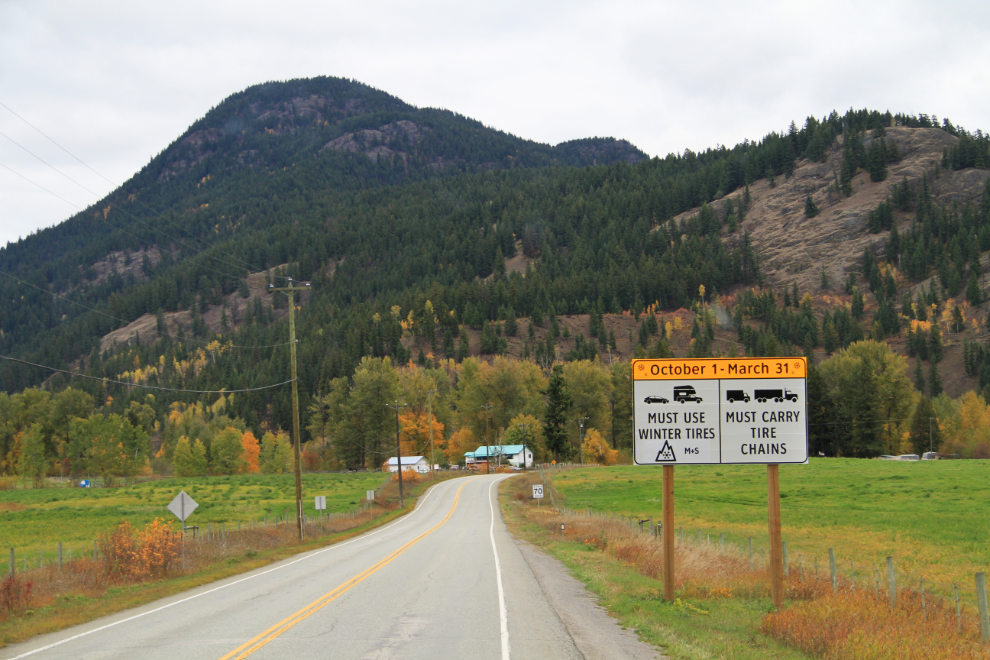
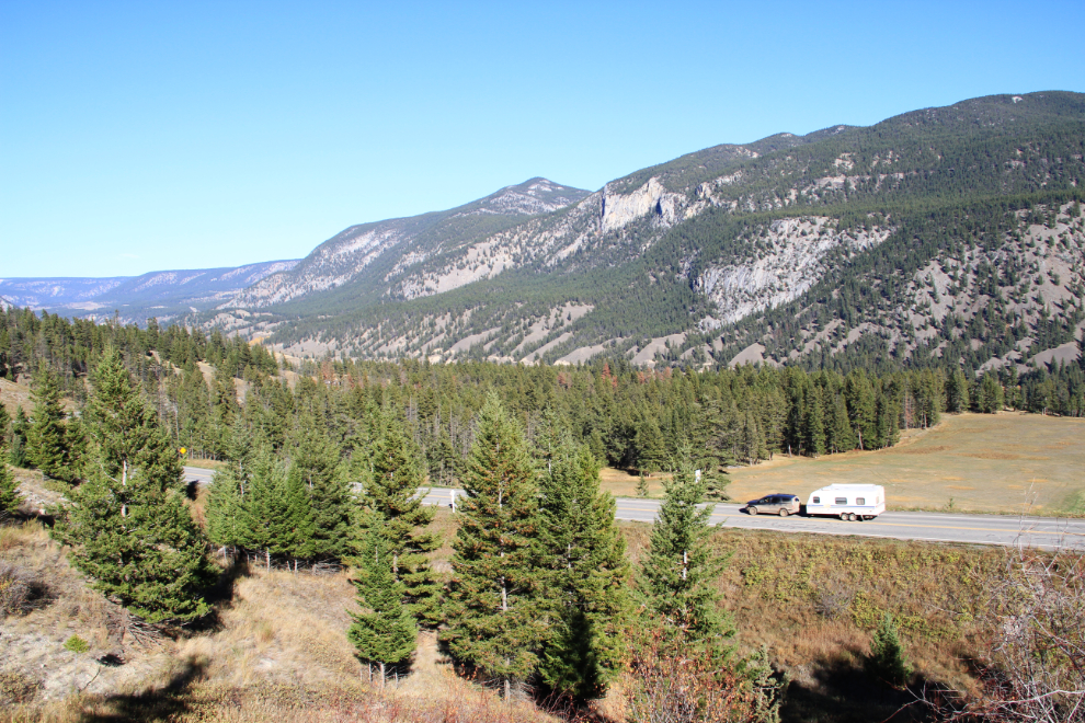
From Wells Gray, the basic route was south on the park road to Highway 5, south on Highway 5, west on Highway 24 and Horse Lake Road, then north on Highway 97. The first photo shows Highway 24 just west of Little Fort at 10:50. The new winter-tire signs are seen everywhere in BC now – all-season tires are no longer acceptable.
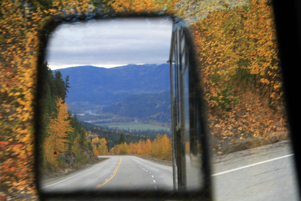
The highway soon starts climbing, and the climb is both very long and very steep. I haven’t been able to find stats on it, but I’d guess the steepest part to be about 8 km (5 miles) long and perhaps 12%.
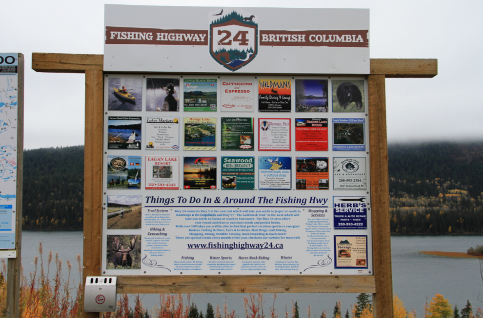
The Lac des Roches rest area, listed on the official BC rest area map as the MacDonald rest area, is 46 km from Little Fort. By that point, I’d seen less than a dozen other vehicles – yes, it’s my kind of highway. The large sign there is the first major promo I’d seen of the highway as “The Fishing Highway” [Edit: when I wrote this post there was a website for the highway at fishinghighway24.ca but it’s now gone]
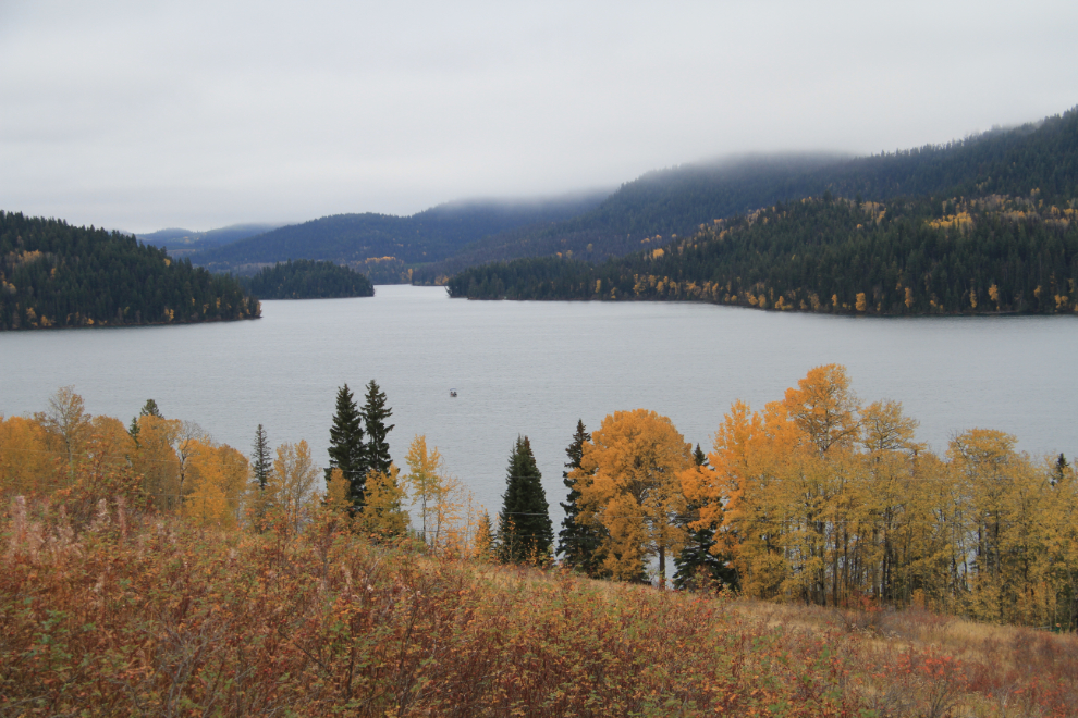
Lac des Roches from the rest area, which was a great place to walk the dogs. Although the skies threatened to drop rain on us, none fell.
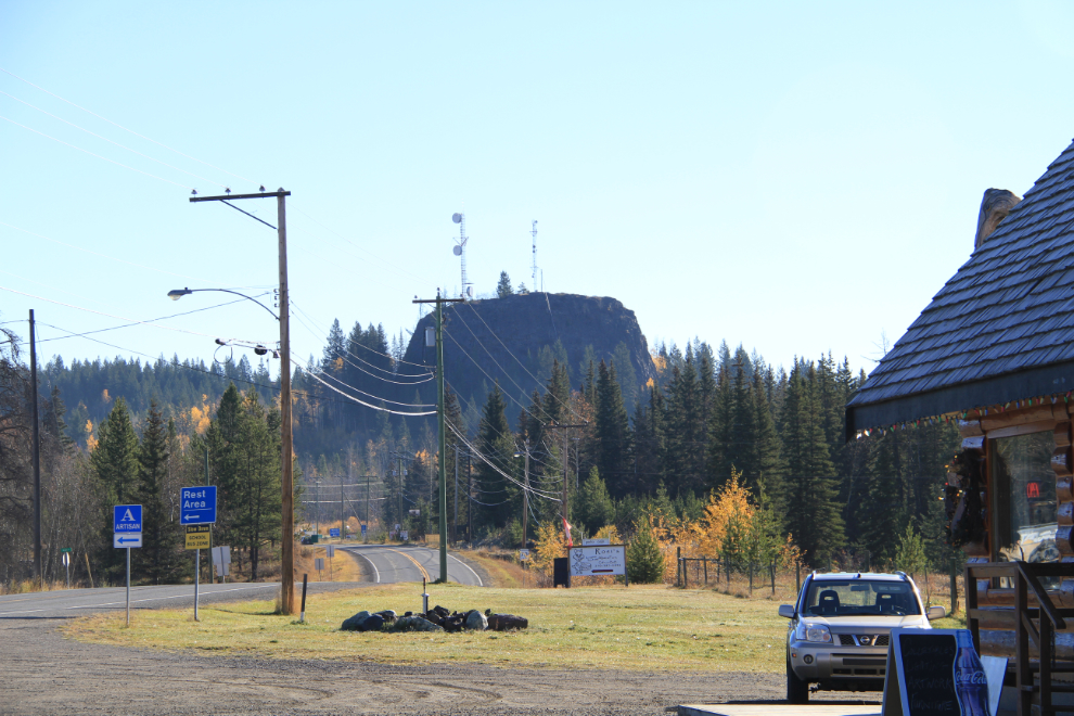
Visits with long-time friends are never often enough or long enough, but seeing Marky and her husband at Horse Lake was wonderful. On Sunday, we went to a charming cafe at the nearby community of Lone Butte, where there is indeed a lone butte 🙂
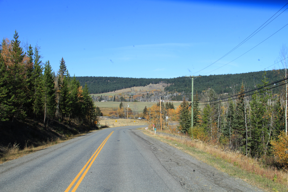
Just before noon, the kids and I were back on the road, headed west towards Highway 97 on the Horse Lake Road.
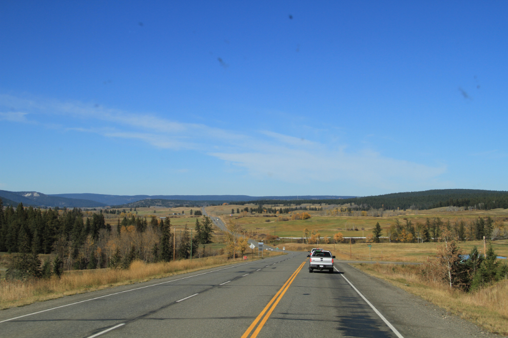
At 12:45, we were just north of 100 Mile House on Highway 97, which is the longest provincial highway in Canada, stretching 2,110 km (1,311 mi) from the southern border with Washington to the northern border with the Yukon Territory. Along its length, various sections are known as the Okanagan Highway, the Cariboo Highway, the John Hart Highway, and the Alaska Highway.
I arrived at Sharon’s home just outside Williams Lake at noon, and as at Marky’s, was able to camp on her acreage. She’s done a great job of re-connecting with many of the people we went to school with, and has endless stories. Within a couple of hours we were out touring, though, west on Highway 20 to some places that Sharon knew I’d enjoy. Our first stop was at the bridge that carries Highway 20, which ends at Bella Coola, over the Fraser River.
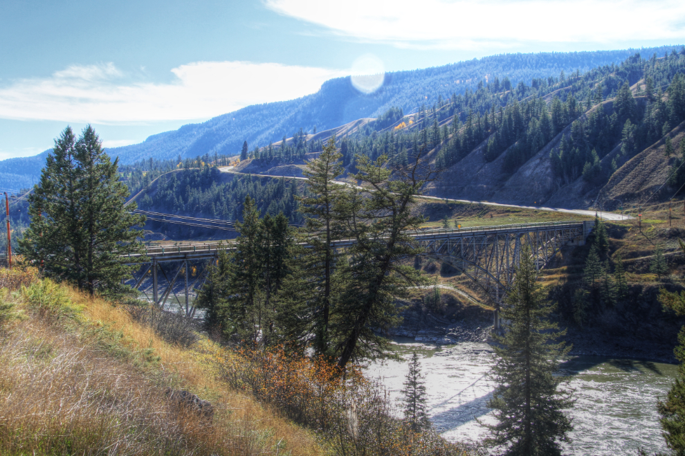
Looking up the Fraser River from the bridge.
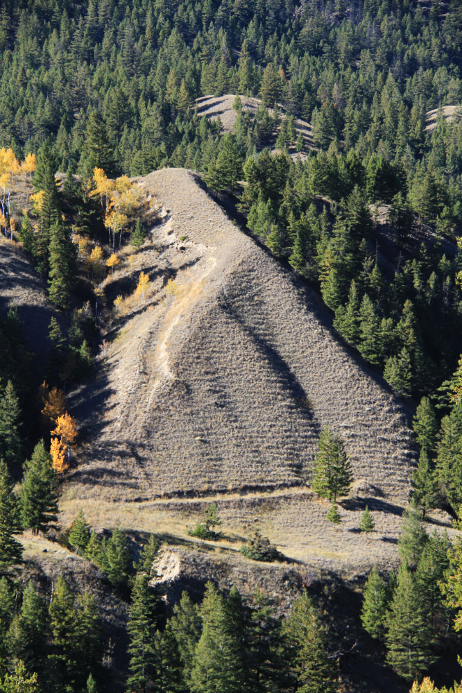
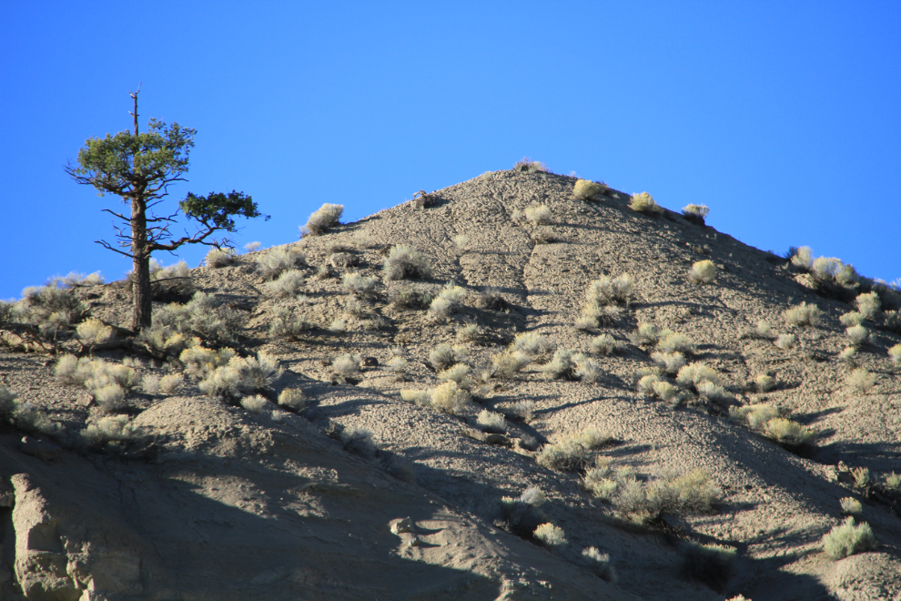
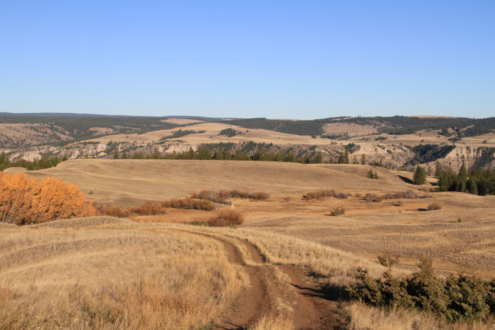
Much of the country we travelled through is in the Interior Douglas Fir Biogeoclimatic Zone, the second warmest forest zone in the interior, which has a fairly wide variety of vegetation. Little of it is untouched by humans, primarily from logging, mining, and ranching. At lower elevations, the Bunchgrass Biogeoclimatic zone is a grassland zone that’s important to California bighorn sheep, burrowing owl, white-tailed deer, and sharp-tailed grouse.
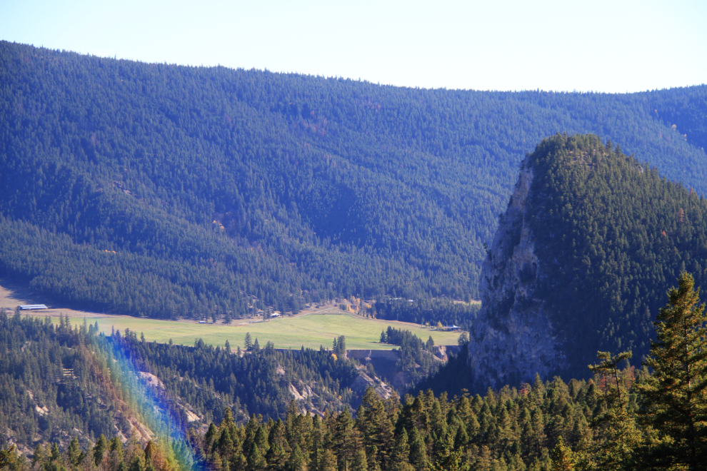
The light was right to get a photo of dramatic Doc English Bluff, which we’d return to at the end of the day.
This is really pretty country, and is certainly on the list to spend much more time in. Over 40 years ago, I drove most of Highway 20, but got stopped by a landslide before starting down towards the coast at Bella Coola, and for no particular reason, hadn’t been back.
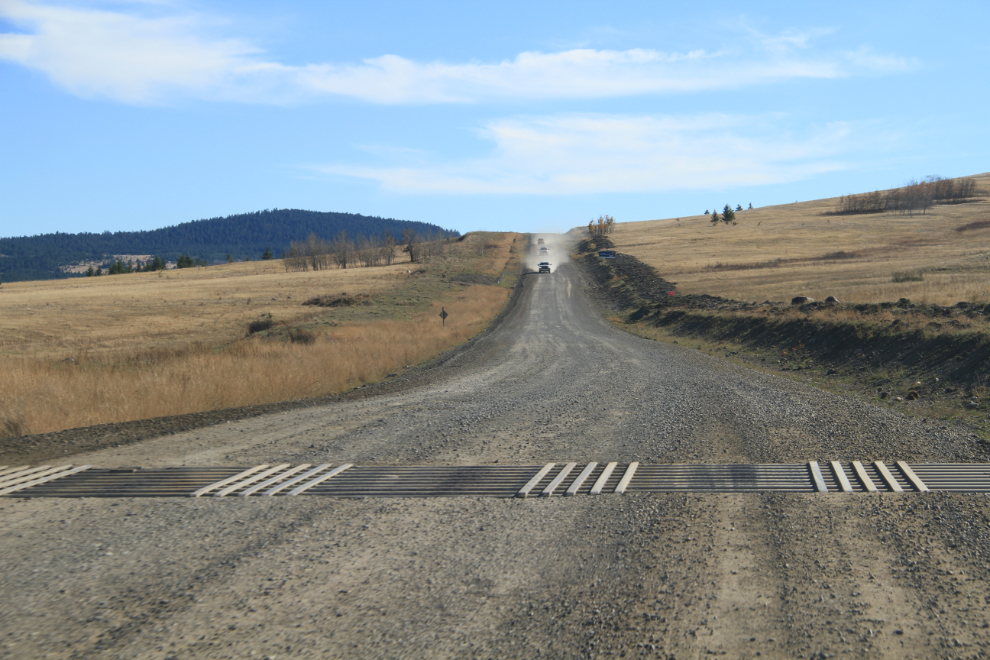
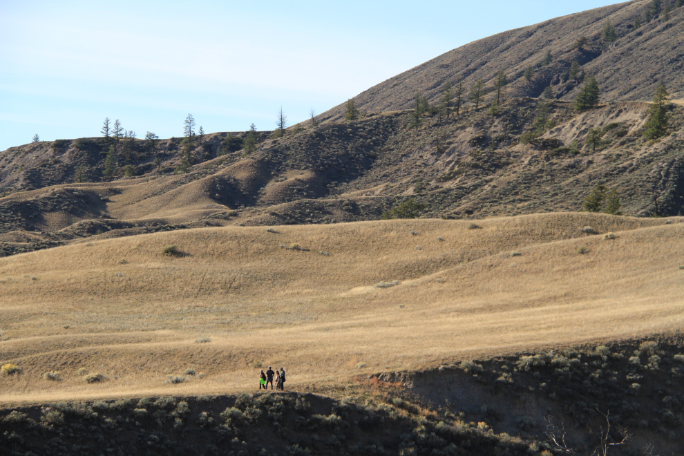
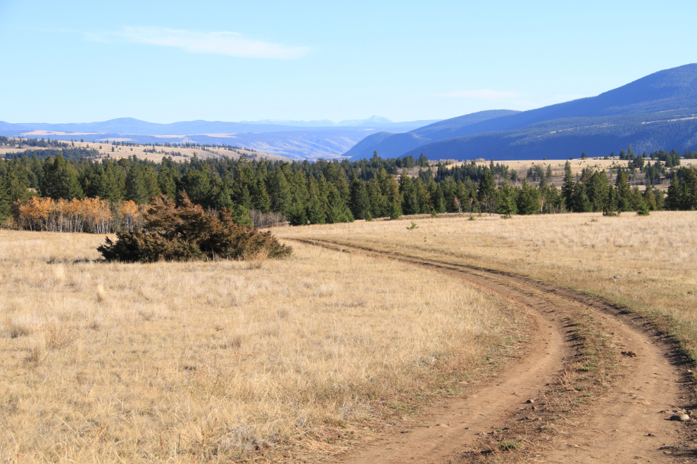
Just before reaching Riske Creek, we turned south on the Farwell Canyon Road, which crosses mostly open rangeland. The 3 trucks coming in this photo were the exception – there was very litte traffic.
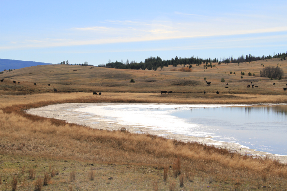
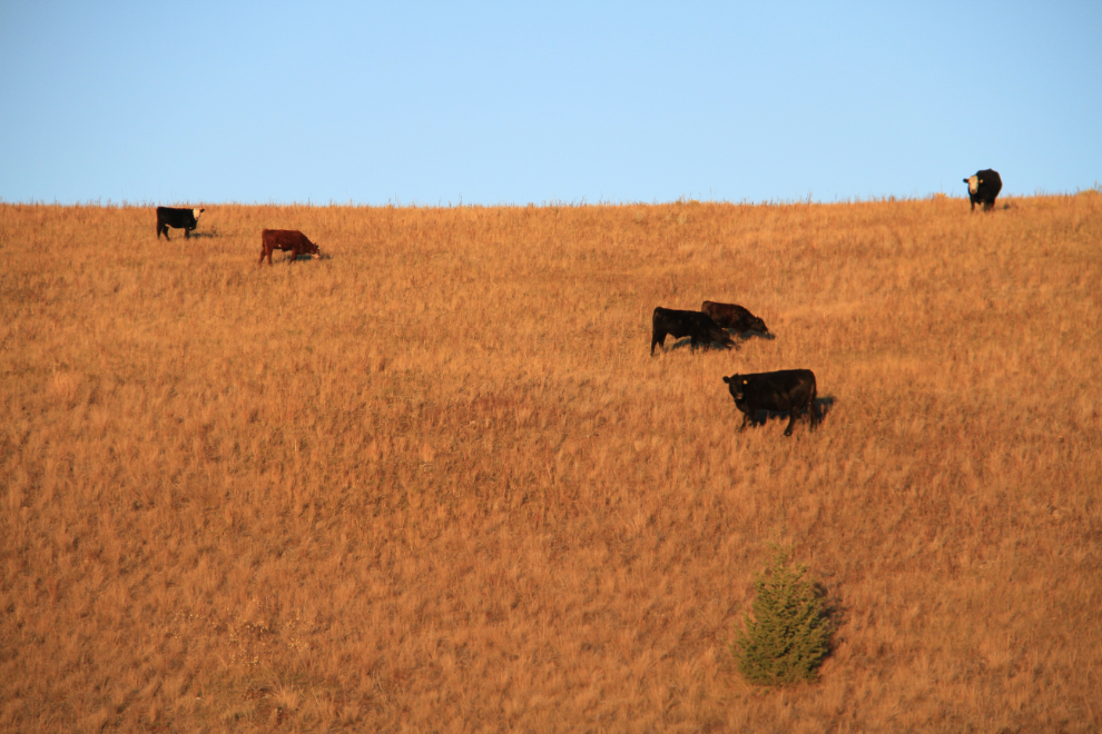
A stereotypical Cariboo/Chilcotin Country scene along the Farwell Canyon Road. Sharon stopped so I could get some photos, but none of our bovine neighbours wanted to chat 🙂
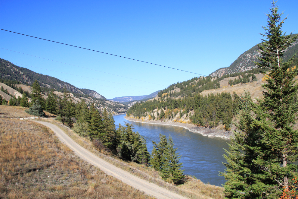
We’d be stopping at the Chilcotin River crossing, but on the west side of the river, the Farwell Canyon Road climbs back up and continues for many miles.
As the road drops down towards the Chilcotin River, a hiking trail offers access to a large sand dune system above Farwell Canyon. At the trailhead is a memorial to Wayne Dale Fisher, a 17-year-old cowboy from the Gang Ranch who was killed in a flash flood near here in 1962.
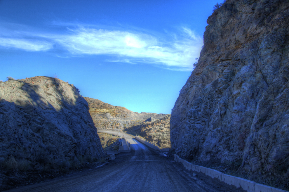
Looking back at the bridge over the Chilcotin River after crossing it.
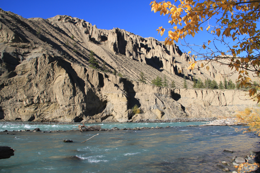
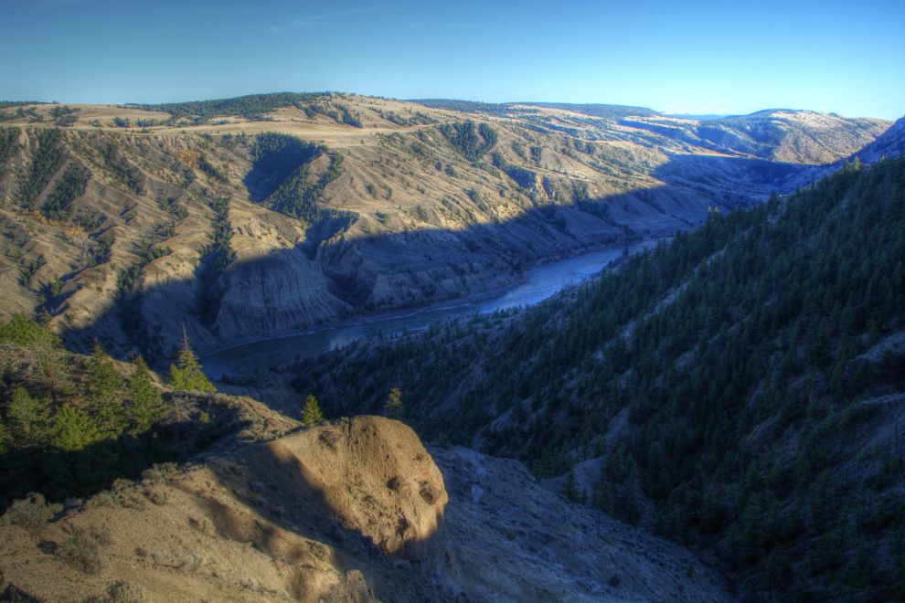
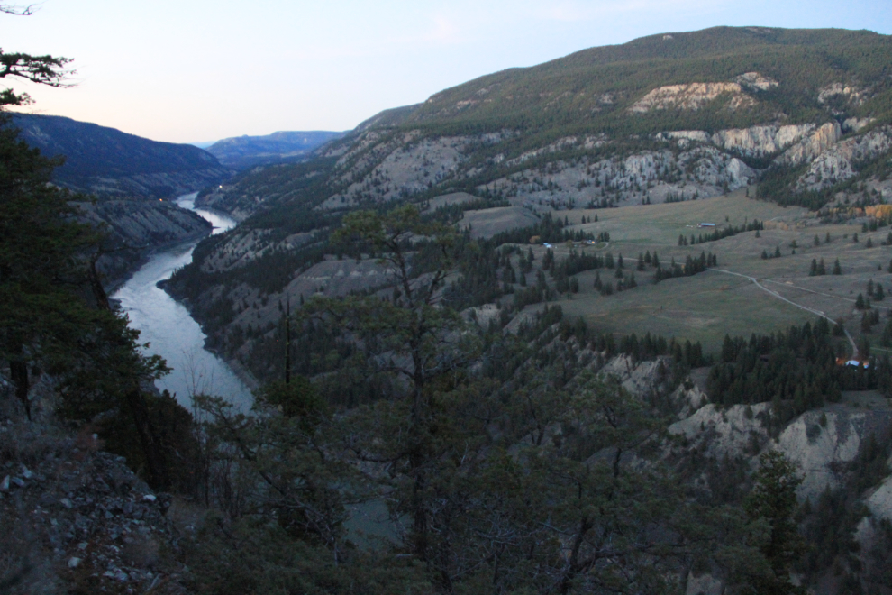
Just past the bridge, a short side road goes to a plateau which offers great views of the Chilcotin River and Farwell Canyon. First, a look back at the bridge.
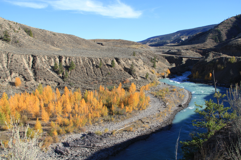
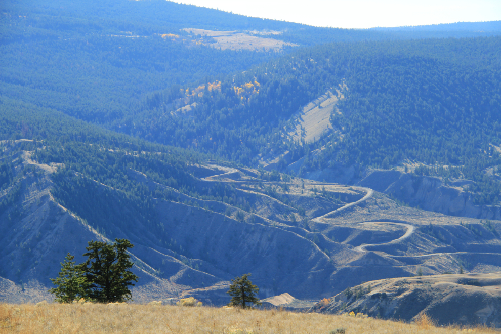
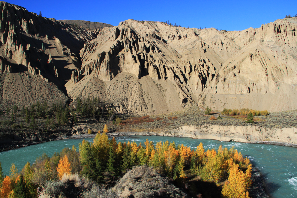
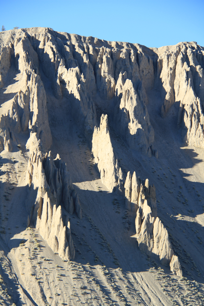
Farwell Canyon and its dramatic hoodoos. Although there are lots of photos of Farwell Canyon online, almost nothing has been written about it.
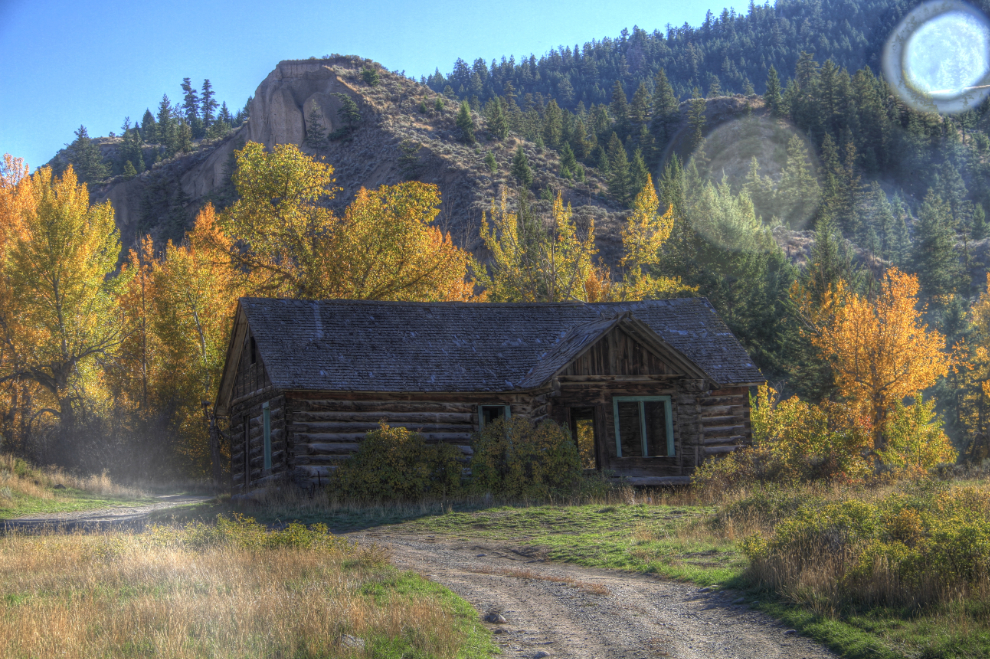
Looking upriver, an old ranch could be seen.
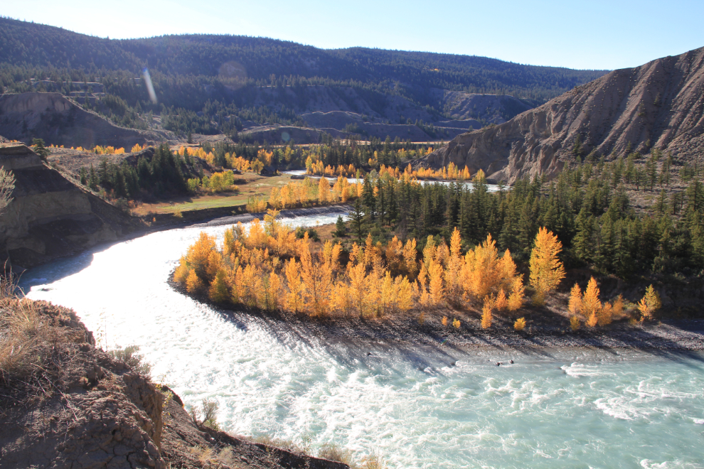
The old ranch site offered even better photos of the river and canyon
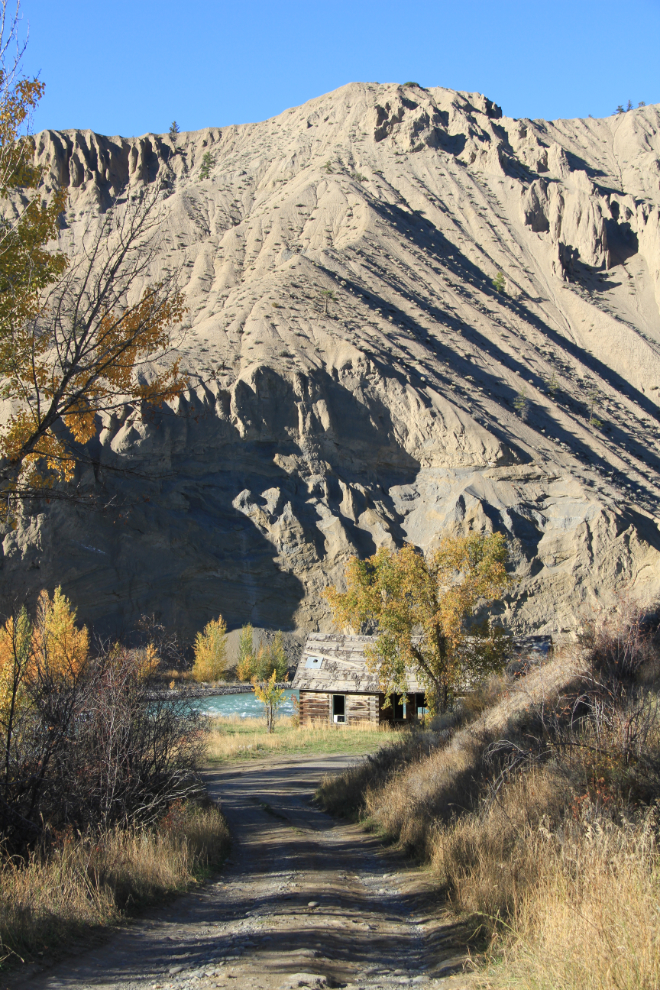
Stark and beautiful.
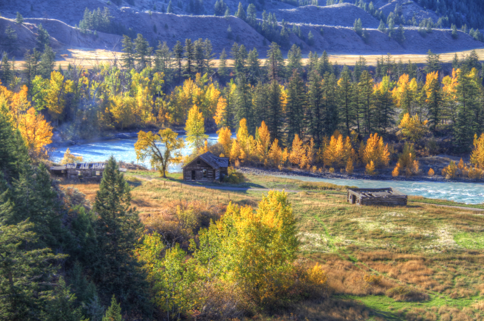
The ranch house and outbuildings are in good condition thanks to the very dry climate, much like the Yukon.
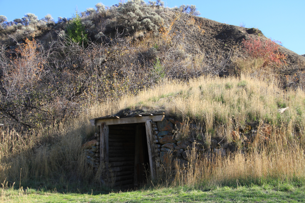
The root and meat cellar is large enough to have supplied food for a large crew of ranch hands at one time.
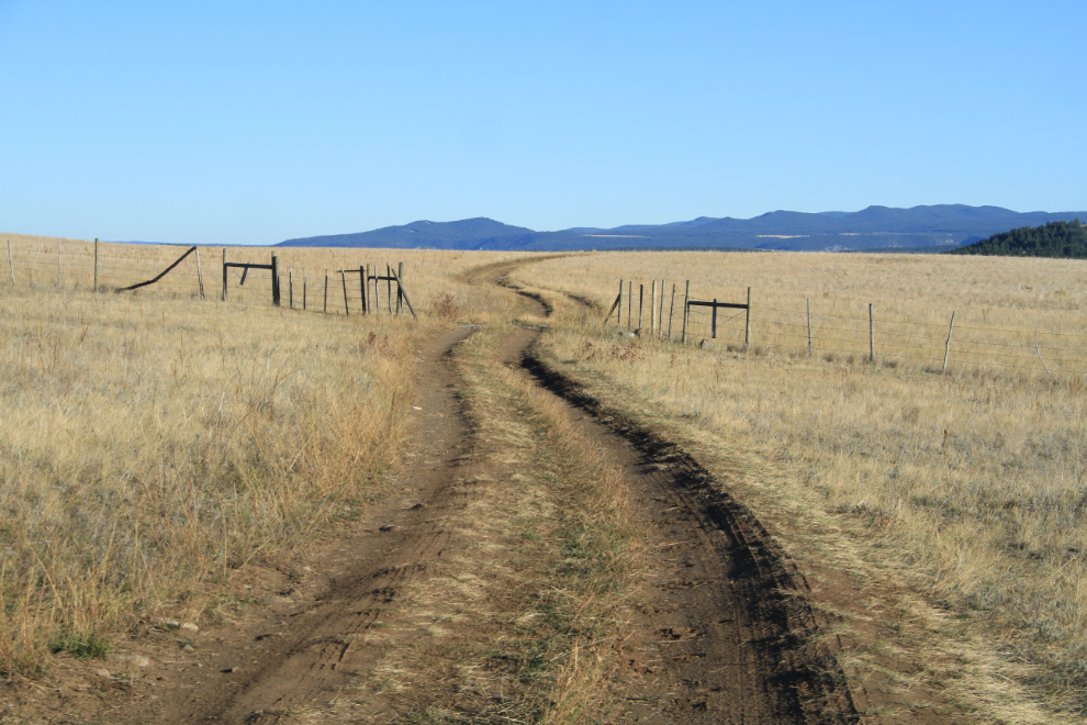
It was well after 4:00 when we pulled away from Farwell Canyon (having a photographer along makes keeping to any sort of tour schedule difficult!), but nearby Junction Sheep Range Provincial Park was our next destination. There were many places along the road where I wished that we’d brought the Tracker, which has much higher clearance.
I can explore along roads like this for days. A couple we met said that they had found about 30 California bighorn sheep near the end of the road, but that would just be a bonus, not a reason to continue.
Nearing the end of the road, at 5:00 – the Fraser River is in the canyon ahead.
The Fraser River from the end of the road. Any sheep that had been here were out of sight by the time we arrived.
The colour of the light at 6:15, just before sunset, was lovely, and prompted a couple of stops.
It was getting dark by the time we got back to the small Doc English Bluff Ecological Reserve, but Sharon said that the steep hike to the top of the bluff offered superb views, and she was right. There was only time to snap a few shots and look briefly and unsuccessfully for a unique rock formation she told me about (she waited at the car), and by the time I got down at about 7:15, it was dark.
We had plans to do a bit more touring the next morning and visit the local animal shelter, but a call from home caused me to cancel those plans and head straight home (home was 1,850 km (1,150 mi) away yet). It had been a wonderful 20 hours, though.