BC RVing: Williams Lake to Fort St. James
On Monday, October 5th, day 27 of the trip, I left Williams Lake at about 09:30, planning to put on as many miles as possible due to problems at home. I hoped to end the day up the Stewart-Cassiar Highway somewhere.
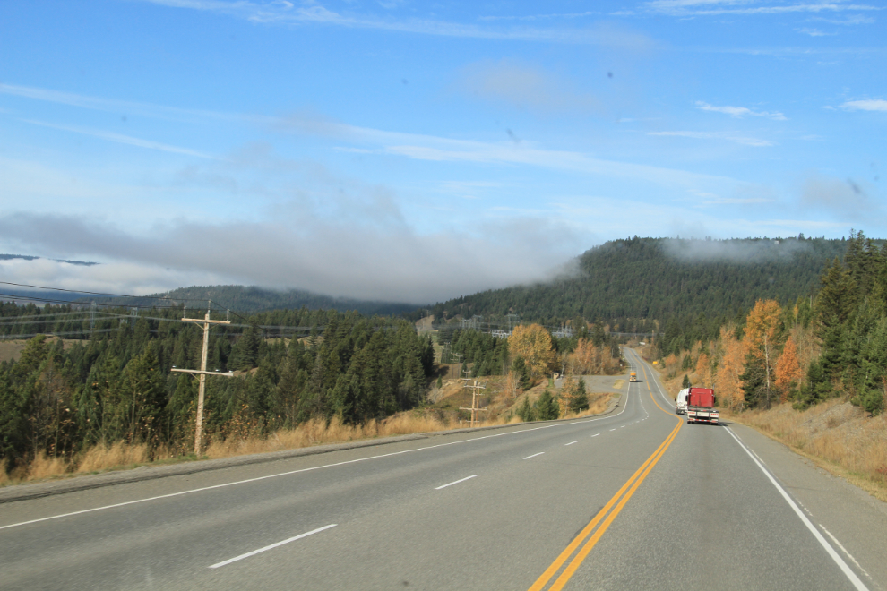
The morning began very foggy, and I was almost an hour north of Williams Lake on Highway 97 before it cleared.
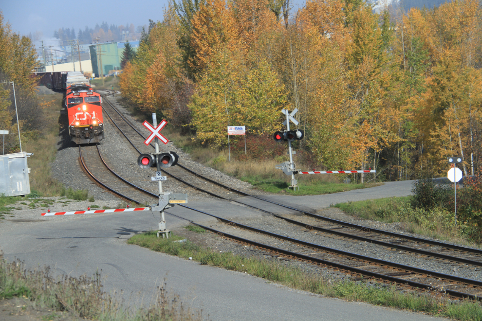
I could do a trip based on trains. Riding trains and just shooting trains. So many trains, so little time… (this was shot at Quesnel)
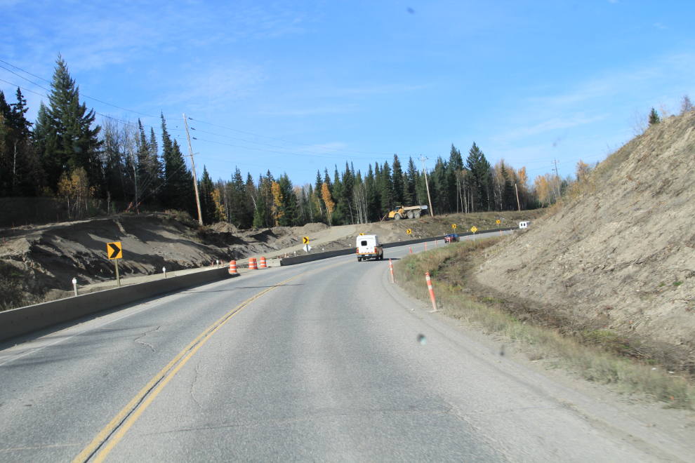
There’s quite a bit of road construction along Highway 97 as the Cariboo Connector Program continues. This is a long-term strategy to widen the 440-km portion of the highway between Cache Creek and Prince George to four lanes.
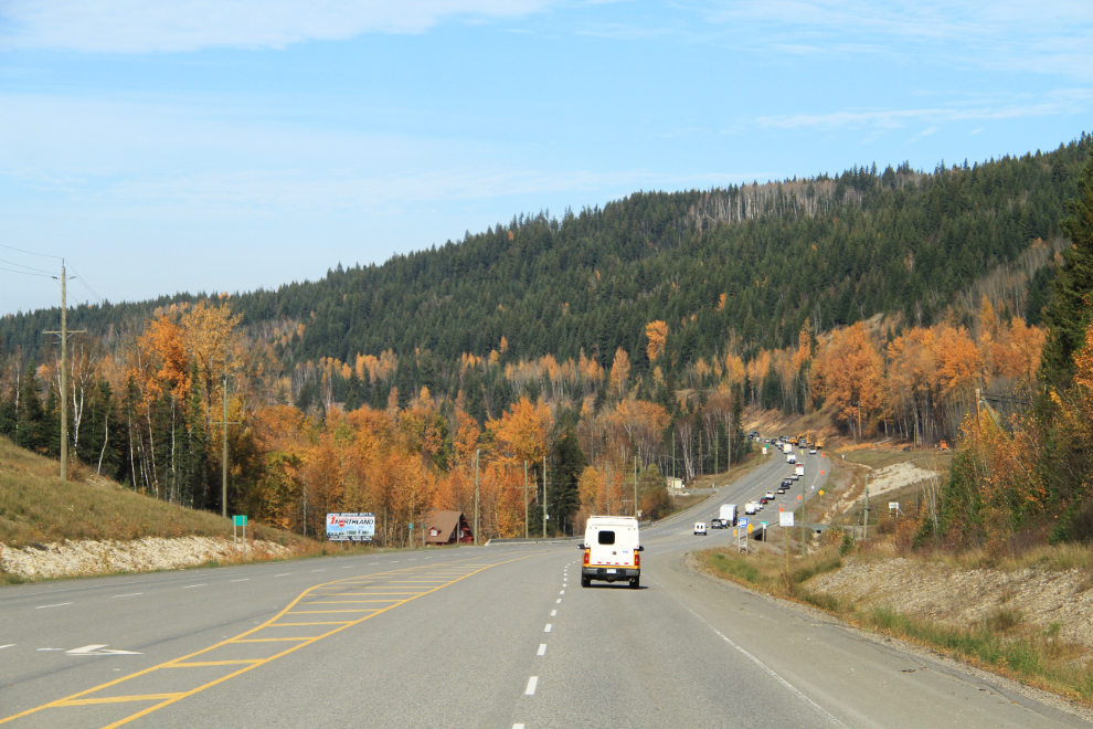
Phase 2 of the project, with a $200 million budget, is now underway. At the completion of this phase, almost 50% of the 440-km highway between Cache Creek and Prince George will be either 3 or 4 lanes wide.
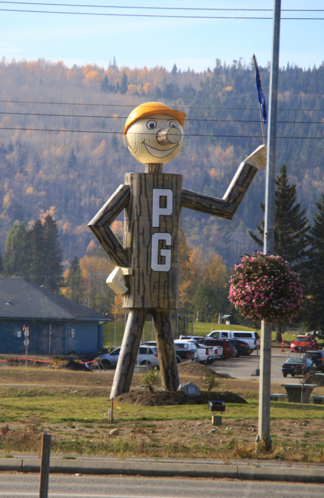
With lunch and dog-walk stops, I reached Prince George at 1:30. When I was a kid, “Mr. PG” was much more impressive, made of logs and standing alongside a not-very-busy 2-lane highway.
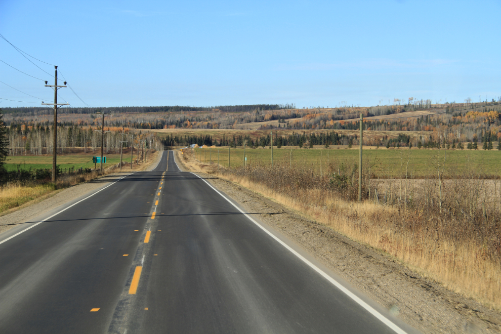
When I stopped in Vanderhoof for gas, I phoned home, and things had calmed down enough that we decided that I should continue on to the next destination in my original plan, the historic community of Fort St. James. Just before 4:00, I headed north on Highway 27.
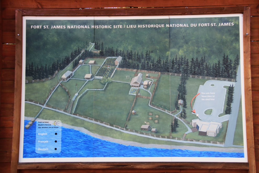
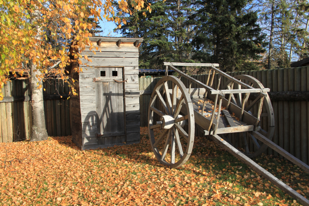
The main reason for the detour was to visit the Fort St. James National Historic Site. Originally established by Simon Fraser for the North West Company in 1806, it became a Hudson’s Bay Company post in 1821 when the 2 companies merged, and has the largest group of original wooden buildings representing the fur trade in Canada. It had closed 3 weeks earlier, but seeing the outside of the buildings was good enough for me this time. This graphic is at the entrance to the site.
I’ve always loved old fur trading posts, and having lived and been heavily involved in history-related activities at Fort Langley for a few years greatly enhanced that.
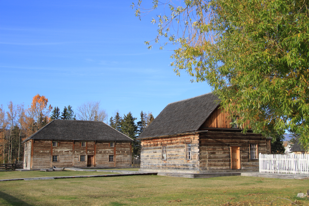
I was only the tiniest bit disappointed that the site was closed – the weather and the Fall colours were glorious, and having nobody else there is usually a good thing for me.
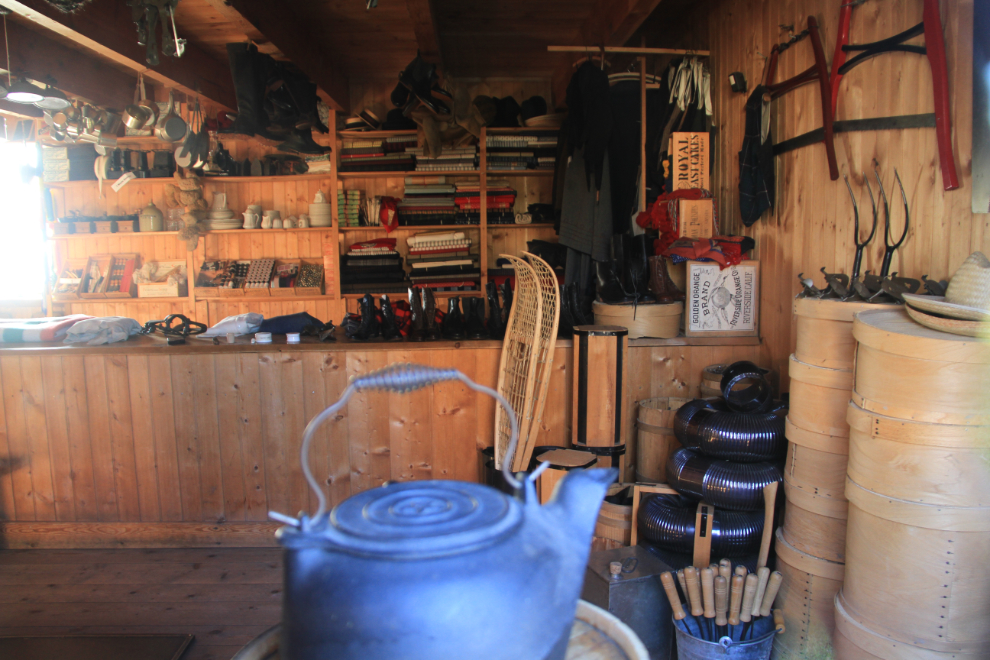
Most of the windows were covered, but a couple allowed me to see inside, to get a glimpse of what life would have been like here in the targeted restoration date of 1896.
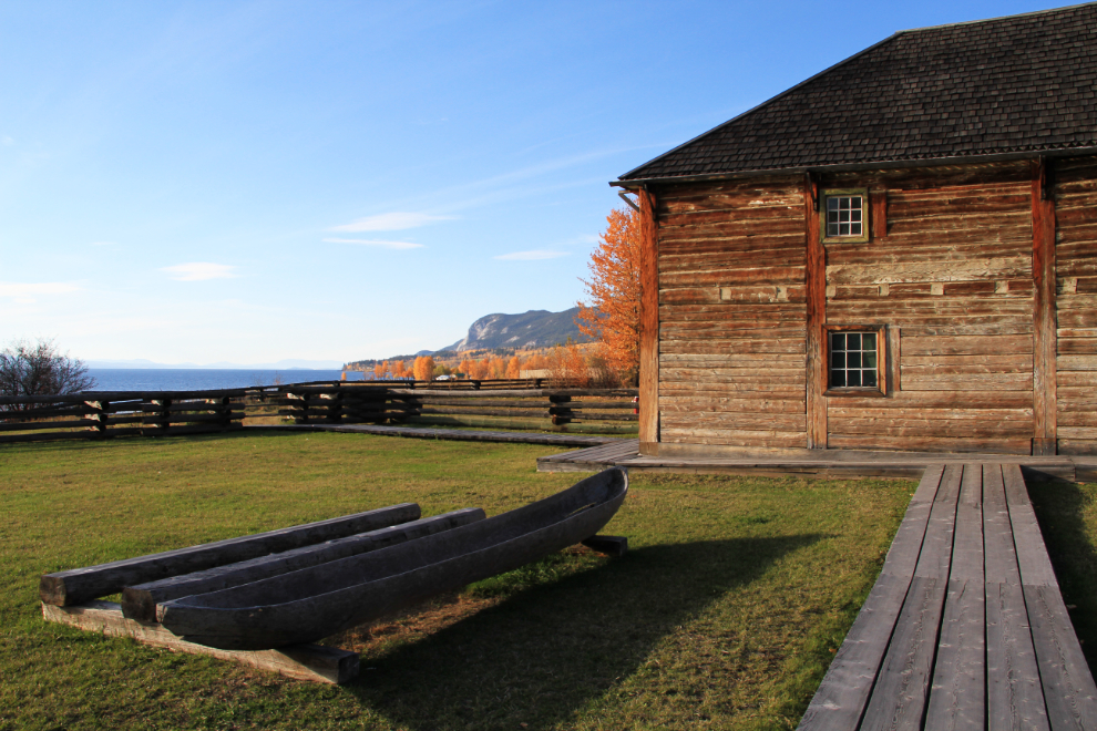
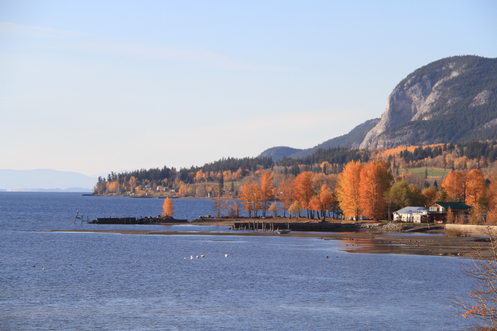
The setting of the fort – of the community as a whole – is beautiful. It’s on the shore of Stuart Lake, which is 66 km (41 mi) long, 10 km (6.2 mi) wide and relatively shallow, with an average depth of only 26 meters (85 feet).
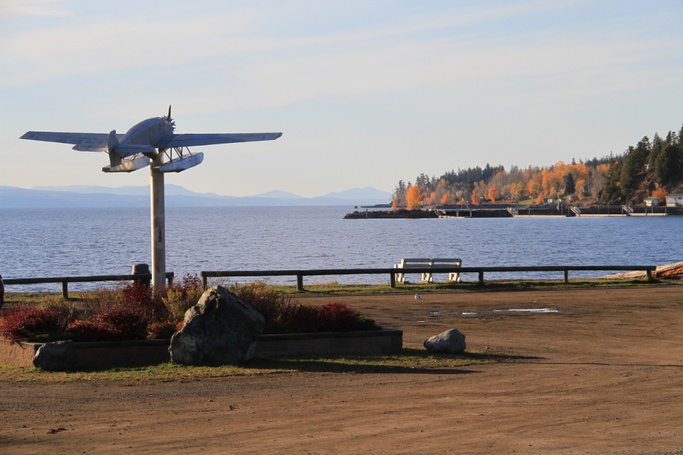
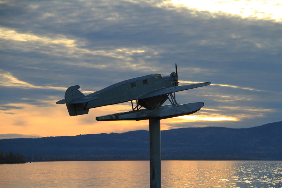
A brochure for the Ripples of the Past Interpretive Trail led me next to Cottonwood Park, where this ⅓ scale model of a W34 Junkers bush plane of course caught my attention. Considered to be one the best bush planes of the 1930s and early 1940s due to its gentle flying characteristics and rugged construction, the W34 was built between 1926 and 1935 by Germany’s Junkers Flugzeugwerke. A W34 that was built in 1931, registered as CF-ATF, is at the Canadian Aviation and Space Museum in Ottawa.
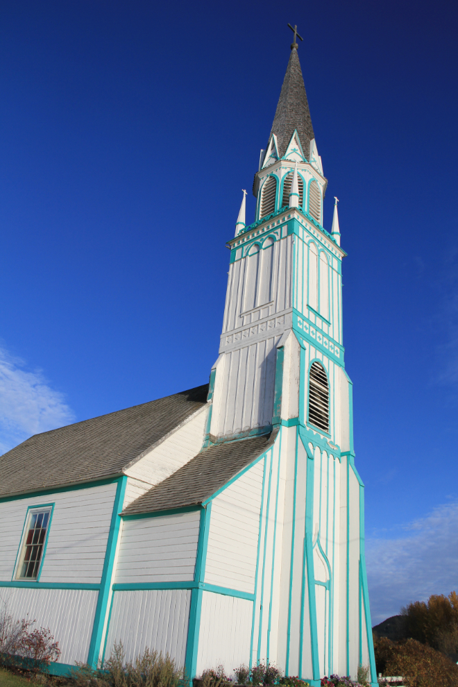
Further along the interpretive trail is Our Lady of Good Hope Church. Built in 1873, this is one of the oldest Roman Catholic Churches in BC. Although I didn’t get there, there’s also a cemetery where headstones can be seen written in the Carrier syllabics developed by Father Morice.
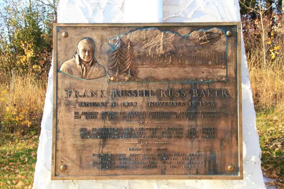
By 5:30, I had almost given up finding the Russ Baker Memorial, which was erected in honor of Frank Russell “Russ” Baker, one of the first bush pilots in the Fort St. James area in the 1930s. Luckily, we had gone out to the marina, from where I spotted it up on the bluff.
The site and the memorial are perfect to remember the humble start of one of Canada’s most influential aviators. After working for several operators, he established Central British Columbia Airways in 1946 on the strength of a fire-patrol contract. Aggressive take-overs of other airlines in western Canada resulted in the formation of Pacific Western Airlines (PWA) in 1953. A short version of a long and complicated story is that in 1987, PWA bought Canadian Pacific Airlines and formed Canadian Airlines International, which in turn would become part of our national carrier, Air Canada.

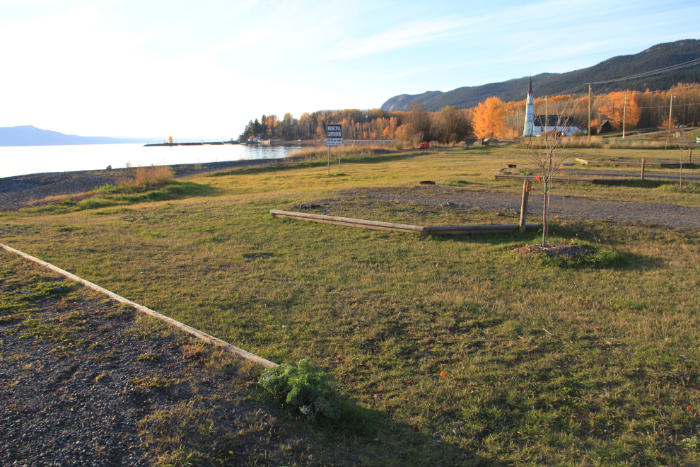
As sunset neared, I thought about spending the night in this wonderful spot – a small community-run RV park on the shore of the lake beckoned, and it seemed unlikely that anybody would even come around to collect the $13 per night fee. However, although the emergency at home was past, I still wanted to get home fairly quickly.
One last look at the Junkers in the evening light, and I headed back towards Highway 16, with either of a couple of rest areas along the highway as my planned overnight spot.
My view of the Dry Williams Lake Rest Area west of Fort Fraser at Km 577 at 9:00 pm.
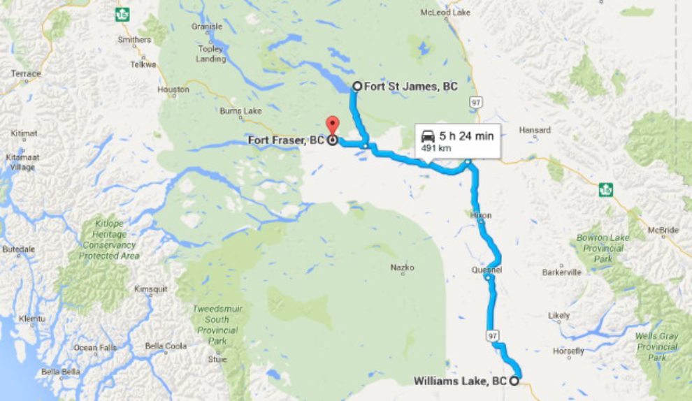
Despite the morning’s stressful start, it had been an excellent day – I finally got to Fort St. James, and put on 491 km (305 miles). On Tuesday, I’d be heading up the Stewart-Cassiar, but again with no destination for the night in mind. Click here to open an interactive map of today’s route in a new window.