Exploring the Tumbler Ridge Geopark – Bergeron Falls
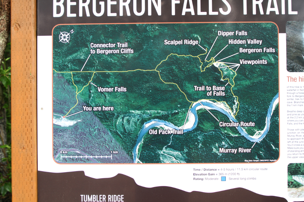
My third day exploring the Tumbler Ridge Global Geopark with local photographer Collin Ball was Day 53 of the trip – Sunday, June 17th. Collin had planned the longest hike yet, some 13 km (8 mi) into Bergeron Falls and back. I had read some reviews online that confused me, but discovered that many people only hike to the top of the falls, a far shorter and easier hike. The circular route to the bottom of the falls has a total elevation gain of some 365 meters (1200 feet).
We reached the parking area, just 15 km from Tumbler Ridge, at 09:00. There were no other vehicles – perfect 🙂 While our other hikes had been at substantial altitudes, we started this one at 754 meters (2,475 feet).
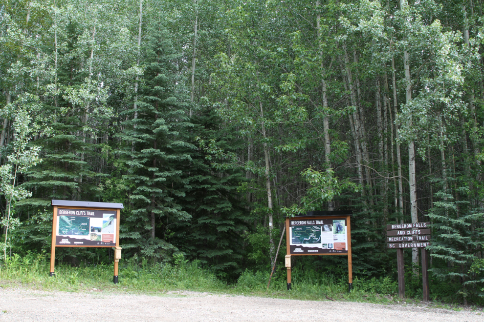
With side trails along the route, and a connector to the Bergeron Cliffs Trail, this can be as long a day as you choose.
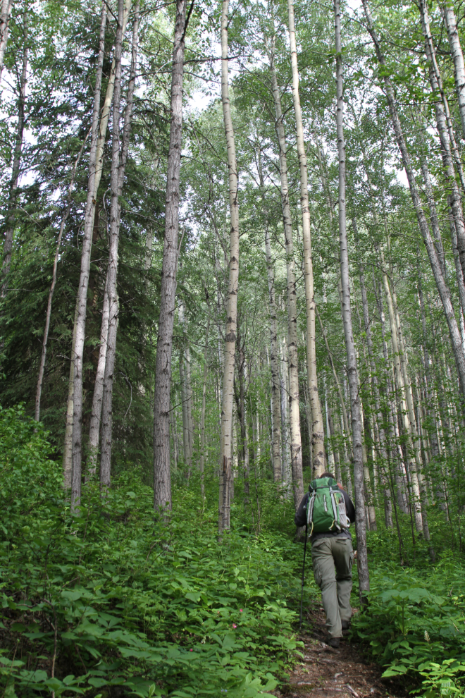
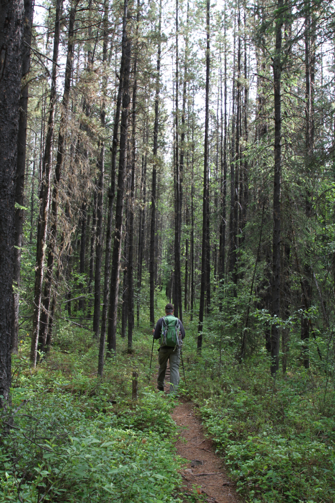
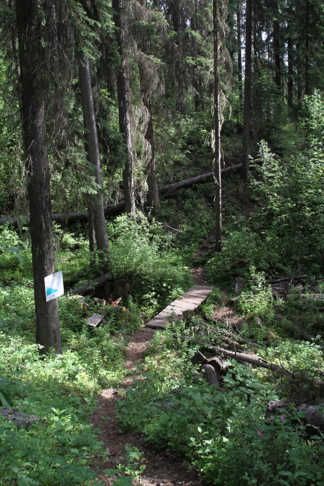
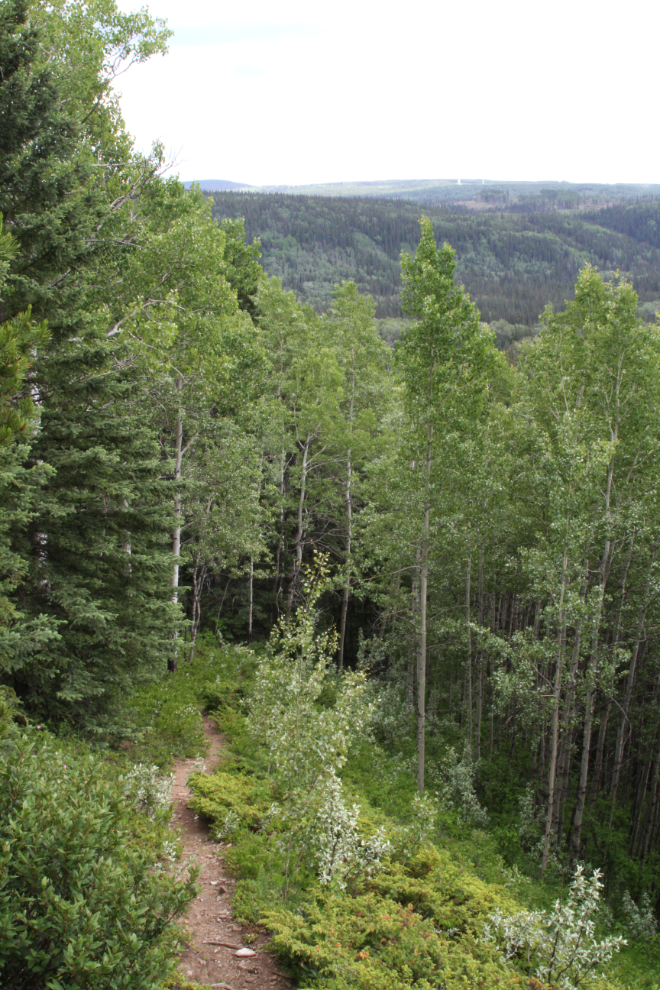
The trail begins by climbing steadily through a mixed aspen and spruce forest for about 1 km until it levels out on a bench.
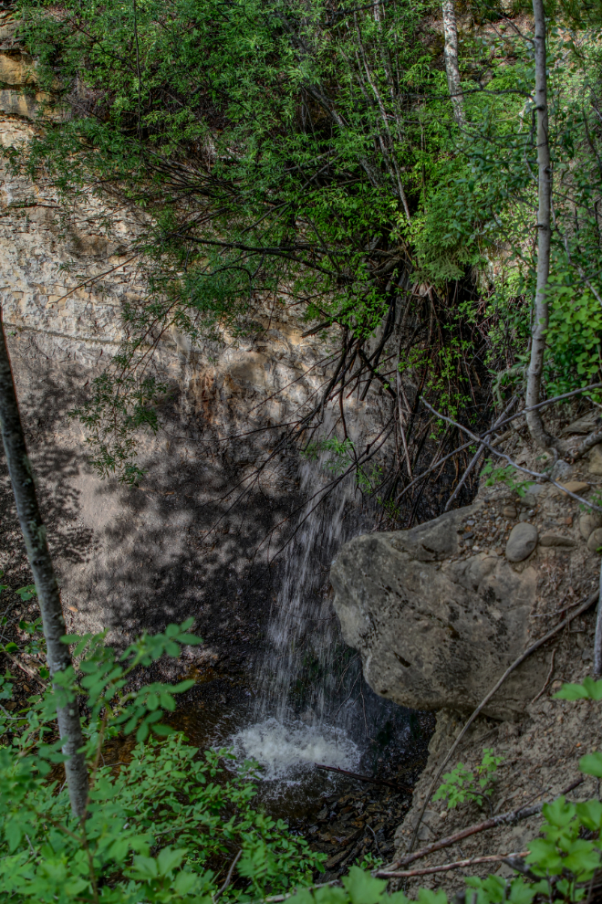
Volmer Falls is just off the trail, but it’s quite small and so obscured by bush that you can’t see much of it.
For about half a kilometer, the trail follows an old seismic cutline.
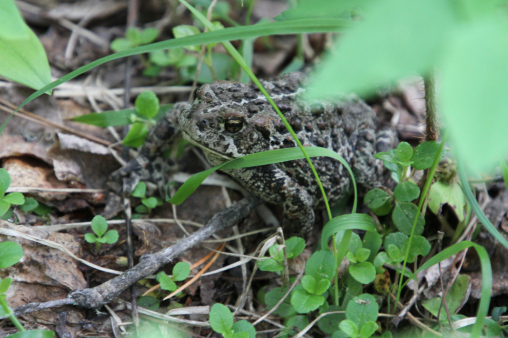
Hey, a toad! I believe this is a Boreal/Western Toad (Anaxyrus boreas). Adults reach up to 12 centimeters (4.7 inches) in size.
At km 2.2, the trail forks – to the left, it’s 2 km to the top of the falls. To the right, 2.5 km to the bottom.
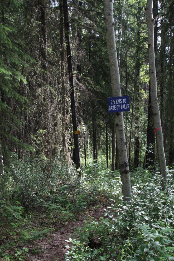
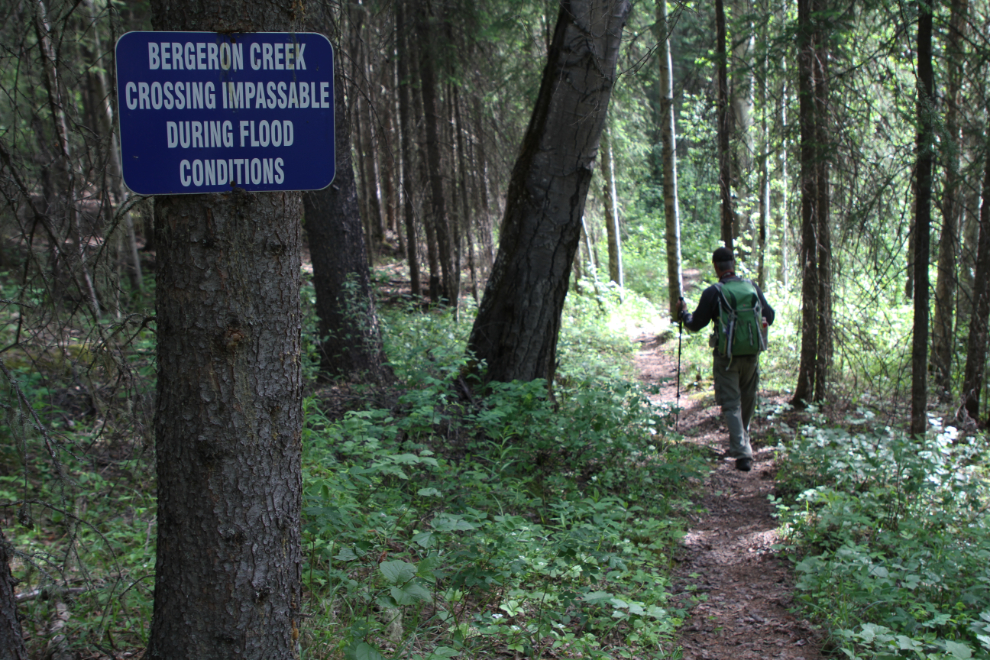
As with all of the trails we’e been on in the Tumbler Ridge Geopark, signage is very good. If the water is high, you can’t get to the bottom of Bergeron Falls, because you have to cross the creek 3 times.
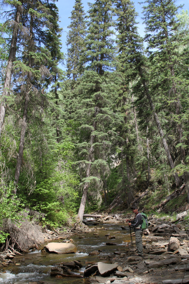
An hour and 20 minutes in, we dropped into a small valley and crossed an unnnamed creek. At the spot where I took the next photo, there’s apparently a well-preserved historic pack trail. Two large, recent tree falls have blocked it, and I couldn’t even see where it might be.
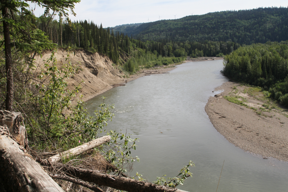
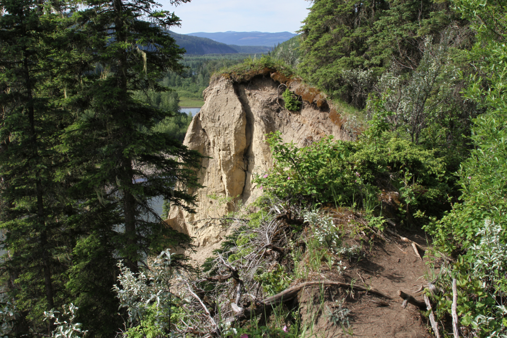
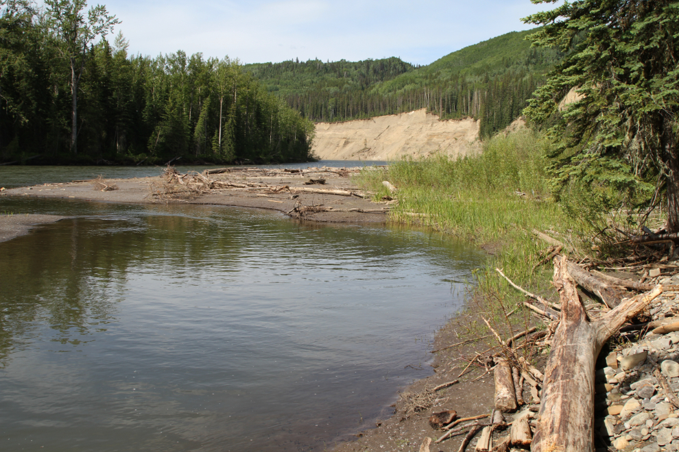
The trail goes very close to an unstable cliff overlooking the Murray River for quite a distance, then drops steeply down to the river.
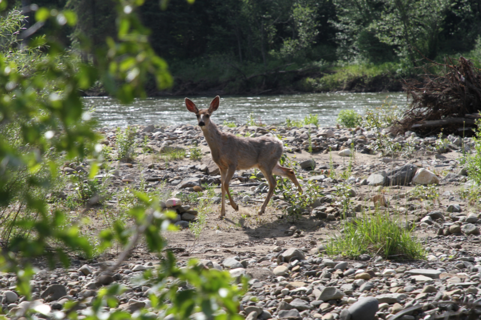
It was Father’s Day, and Collin and I talked about our Dads – for both of us, our love of this sort of adventure came from them. Back in the forest, I had suddenly been surrounded by butterflies, and one of them landed on my camera and rode with me for a minute. Down along the Murray River, we met this young mule deer, who instead of running away, followed us and made eye contact. While you might not connect those two odd occurrences, Collin and I knew that our fathers were with us that day.
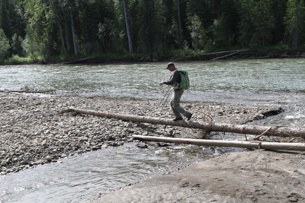
The first crossing of Bergeron Creek is made easy by a log at the mouth of the creek.
We took a side trail to a lovely picnic and camping spot on the Murray River. The pool in front of us was so welcoming that I soon went for a dip. Water is becoming a more and more powerful draw for me, and getting wet at places like this is becoming more and more an important part of the experience.
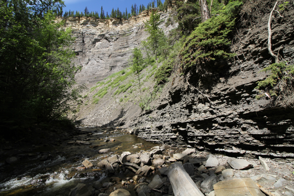
The main trail then goes up Bergeron Creek, which has heavily-eroded banks in many places. There must be some impressive floods to do that much damage.

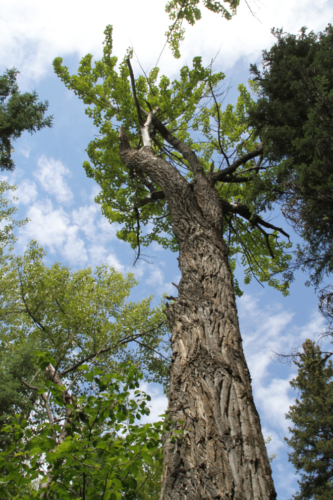
There are some very large cottonwood trees along the lower part of Bergeron Creek. Actually, although I know them as cottonwoods, they may be Balsam poplar (Populus balsamifera).
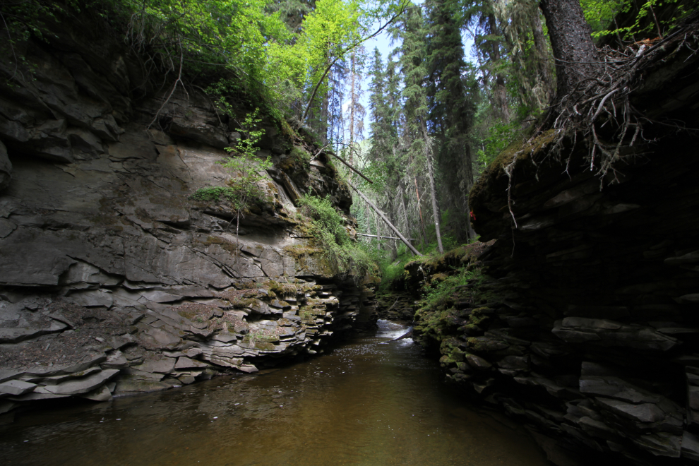
Cairns and flagging tape lead hikers up Bergeron Creek.
As the trail starts to enter a canyon that Bergeron Creek has cut, other trails offer the chance to go above and around it.
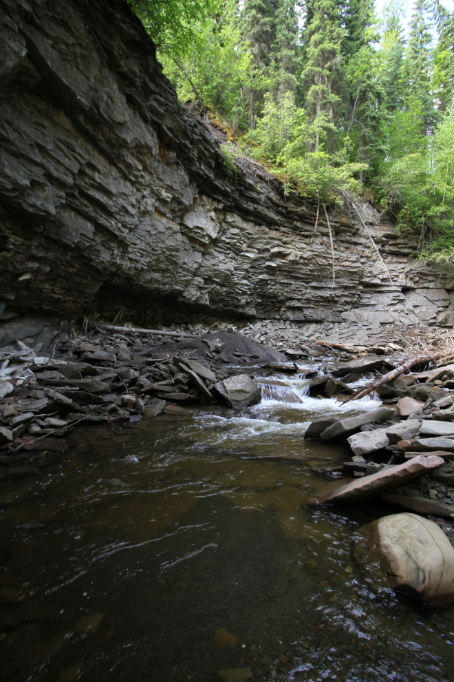
For us, this was our dead-end. It appears that some people have been able to climb up the rocks to the right in the next photo, I wasn’t going to chance it. We back-tracked a few hundred feet and took the trail that led steeply up and around the canyon.
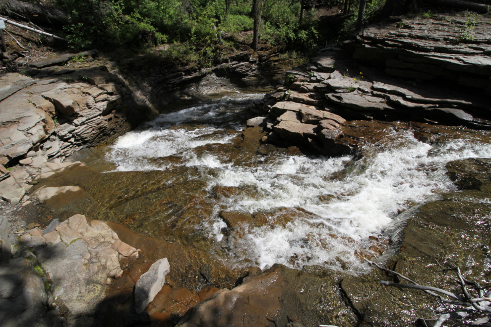
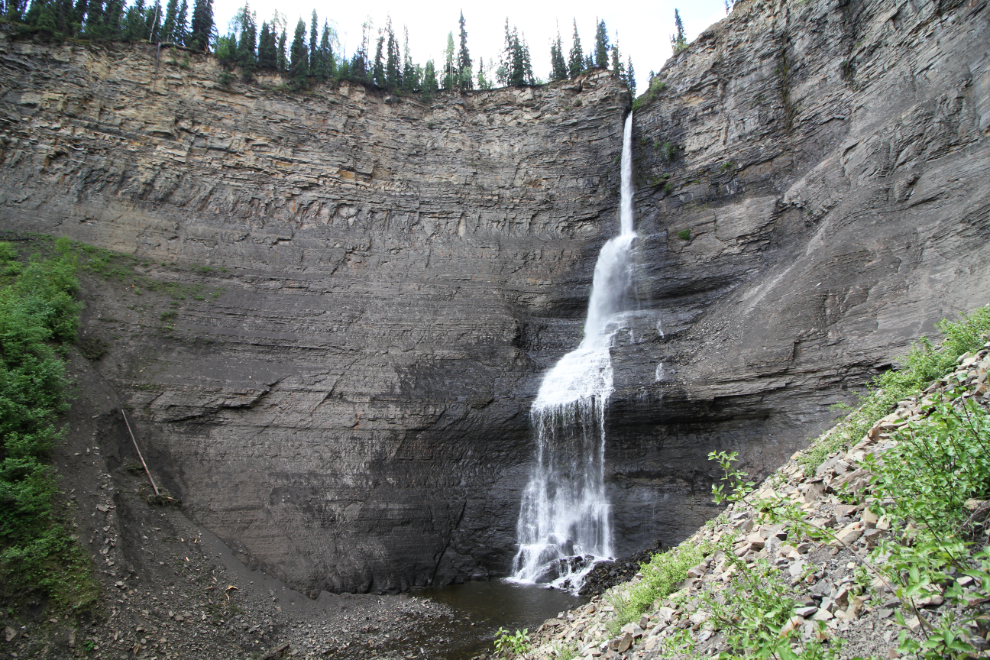
The next photo looks down Bergeron Creek to the head of the canyon. This would be a wonderful spot to spend time – if not for the fact that Bergeron Falls is only a few minutes ahead.
The final crossing of Bergeron Creek was required to enter the amphitheatre that Bergeron Falls drops into.
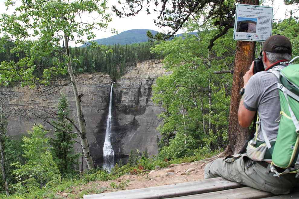
My first view of Bergeron Falls left me speechless. As Eaton Falls at Grande Cache was a few days previously, this combination of rock and water was simply overwhelming. The scale was hard to even comprehend, though the spruce trees some 350 feet above made comprehension easier.
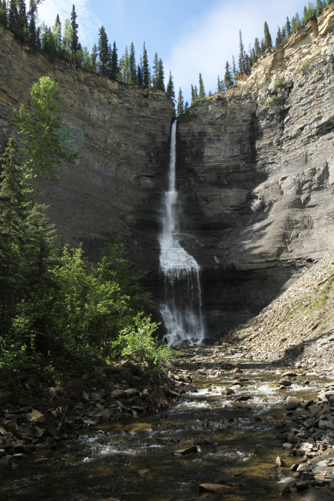
The closer I got, the more powerful the waterfall was.
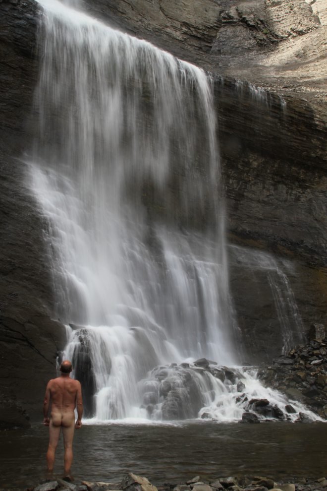
Standing naked in the spray of the falls was the experience I wanted, to connect as deeply as possible with this powerful place 🙂
I shot a short video to give you a better idea of what the place is like to stand in.
Collin had brought his drone, but it crashed up on the slope above us somewhere. While up there searching for it, I got a few shots of the waterfall. Collin did eventually find his little flying machine – much to my surprise, actually 🙂
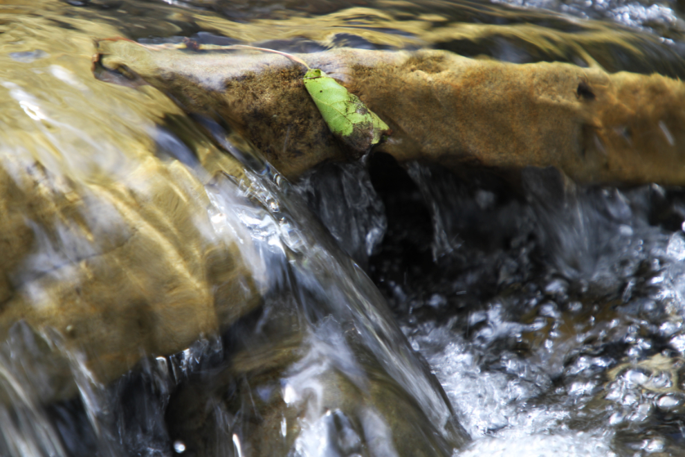
After spending a while in awe of the grand scale, I started to notice the little details around me, like this leaf caught in the stream for a moment.
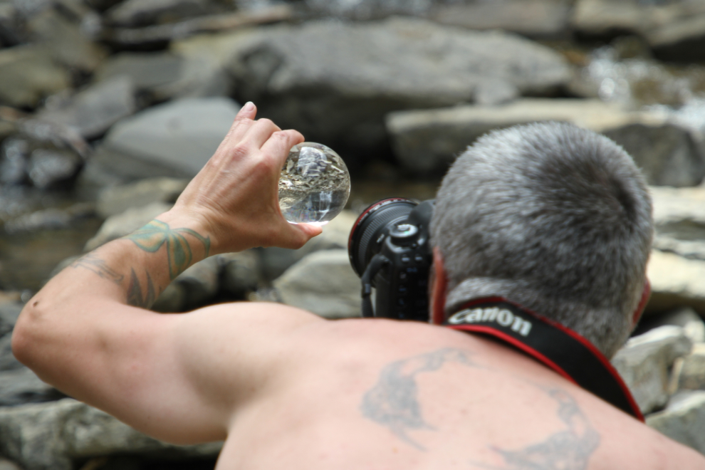
Collin usually has a Lensball with him, and gets some cool shots with it. You can see Bergeron Falls upside-down in the ball in the next photo. I just ordered one for my kit.
Just after 3:00 pm, we began the hike out. It’s a long, steep slog up the main hill!
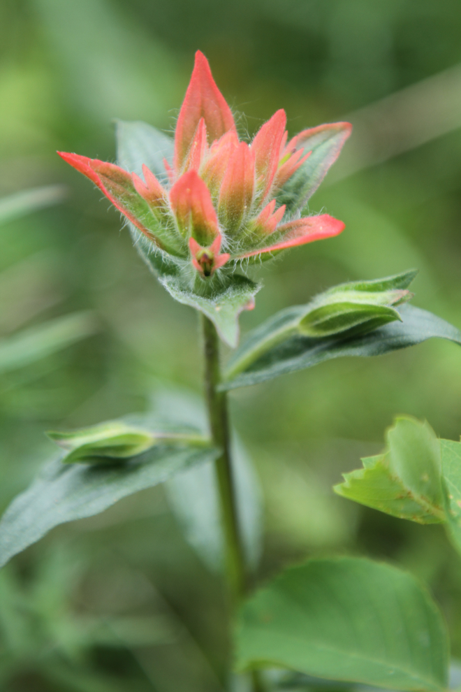
Pausing for a breath was often a good excuse to take some photos of the many wildflowers along the trail, like this Indian paintbrush (Castilleja).
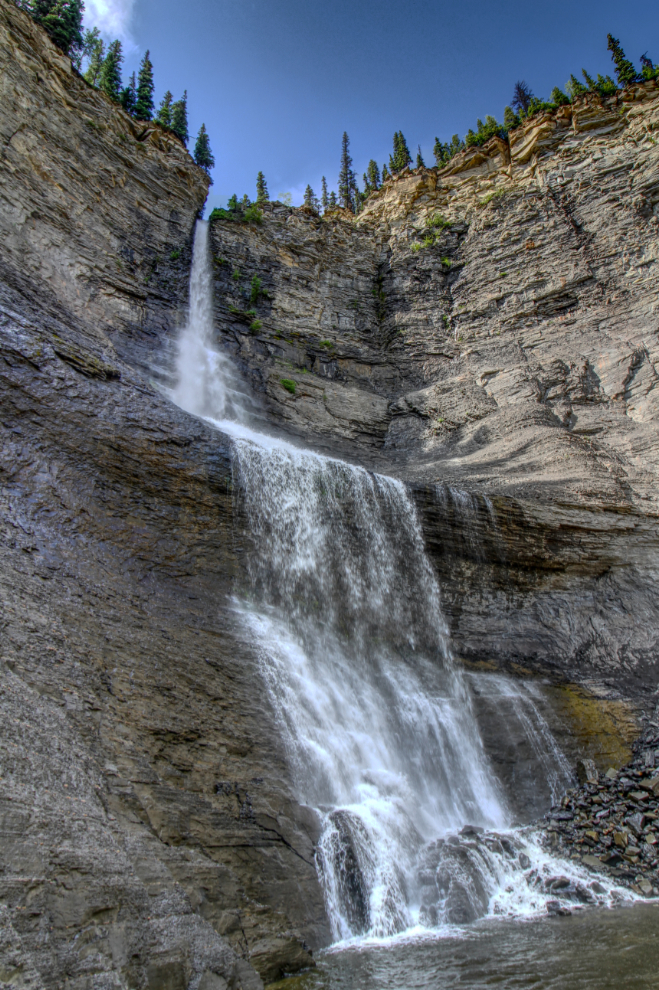
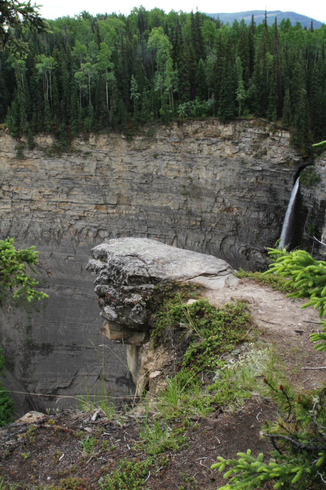
There are a few viewpoints of the waterfall along the top of the amphitheatre. Some were too extreme for me, but Collin got some awesome shots!
Apparently the view of the falls from out there is really good. Even Collin didn’t go out there, though – at least not this time 🙂
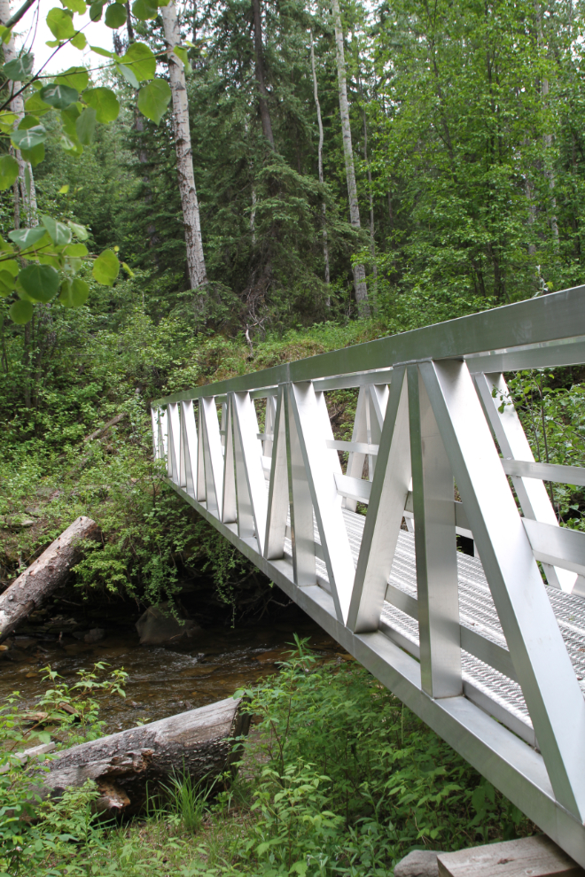
I didn’t take many photos during the hike out, but this large aluminum bridge is captured in a few.
We got back to the truck right at 4:00 pm, so had spent 7 hours to experience Bergeron Falls. This is another site that I’ll definitely be back to.
The 3 days hiking in the Tumbler Ridge Global Geopark had been superb, beyond anything I could have hoped for. Collin’s love of photography and nature made him the perfect partner, and the 35 km or so that we hiked will be followed by many more that we’ve already begun discussing.
The next day would be a long one in the motorhome, as Smithers, 777 km to the west, was my next destination.