A long drive to Smithers, and hiking to a glacier at Twin Falls
After weeks of putting few or no miles on the motorhome each day, Day 54 of the trip – Monday, June 18th – would be a long one. The plan was to get from Tumbler Ridge to Smithers, 777 km to the west. There, I would spend 2 nights, with the main goal to hike the Glacier Gulch Trail at the Twin Falls Recreation Site.
The route was simple – Highway 29 took us west to Chetwynd, Highway 97 south to Prince George, and Highway 16 west to Smithers. Click here to open an interactive version of the map.
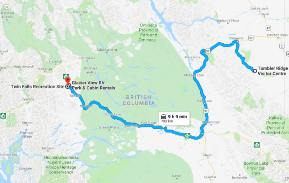
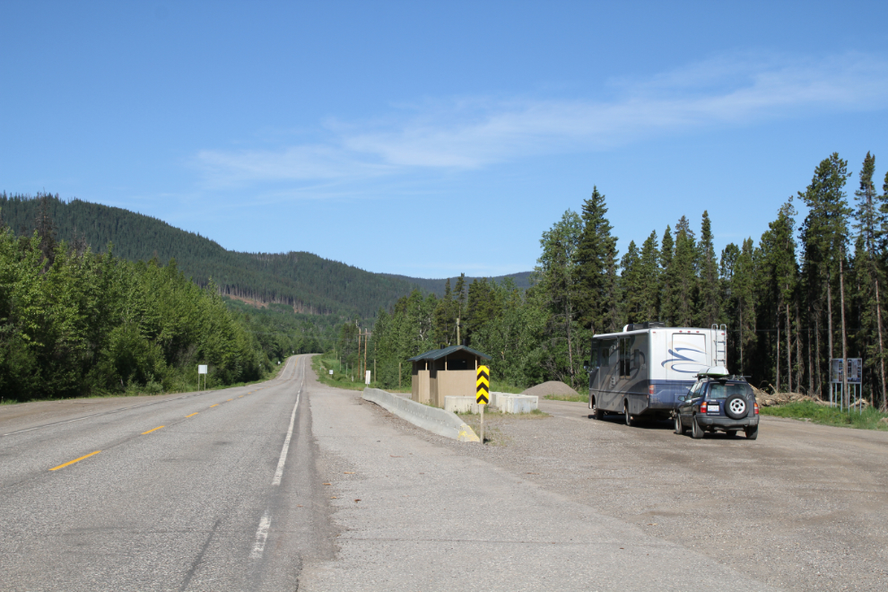
We pulled away from Tumbler Ridge just after 08:00. I made one stop along Highway 29 to get some photos of the rest area seen in the first photo, where interpretive panels describe the Tumbler Ridge Global Geopark I’d spent the past 3 days hiking in.
I didn’t take any other photos along the way, though I made a few stops for the dogs. They weren’t comfortable stops, as the temperature had climbed to 34°C (93°F) along much of the route. A stop to make the fur-kids dinner almost became an overnight stop, but I decided that I really needed an electrical hookup so I could run the air conditioners, so pushed on another 3 hours.
We reached the aptly-named Glacier View RV Park at 7:30. I was very surprised that they only had 2 sites left. I took a grassy site with 20-amp power – that would be sufficient for one air conditioner.
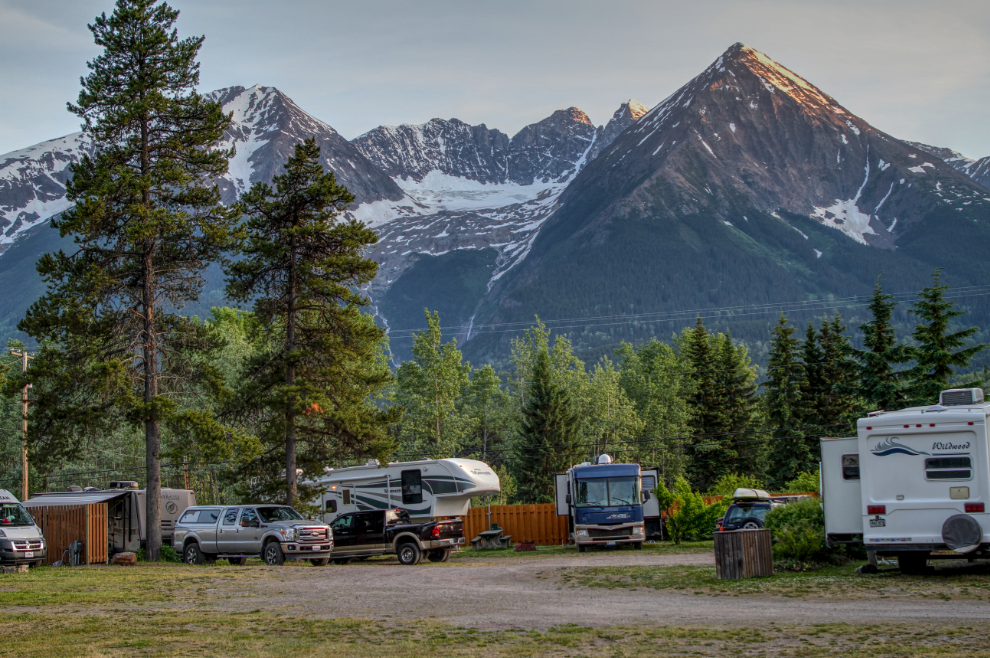
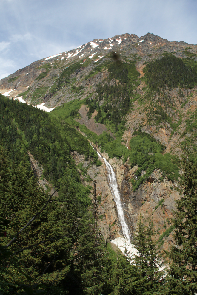
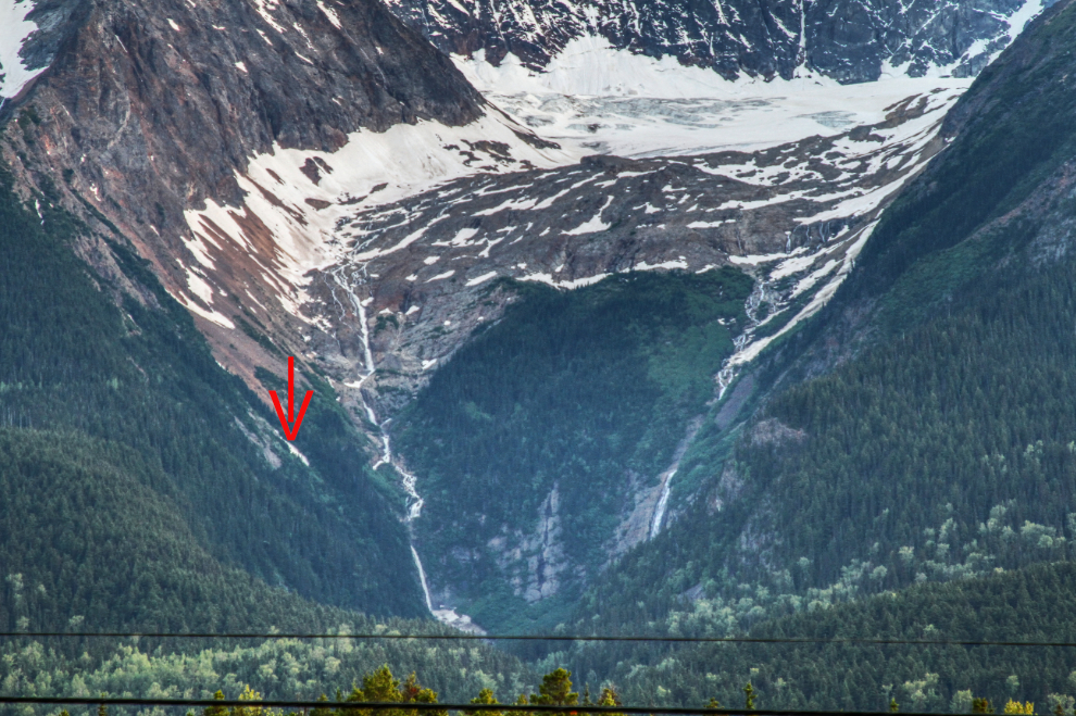
From the RV park, I could see the next day’s goal – the twin falls and glacier on Hudson’s Bay Mountain. I couldn’t figure out where the trail might run, except that I knew in a broad sense that it’s to the left of the left-hand waterfall. I was both excited and rather intimidated by that sight.

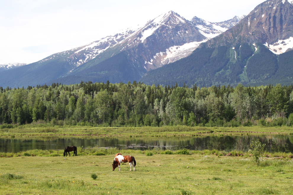
On Tuesday morning, I took a drive a few miles to the west just to enjoy the scenery. I love the Bulkley Valley in any season. The forecast was for the temperature to hit 34°C again.
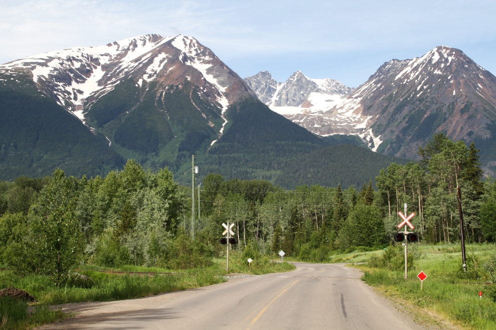
The next photo shows the approach to the recreation area on Lake Kathlyn Road.
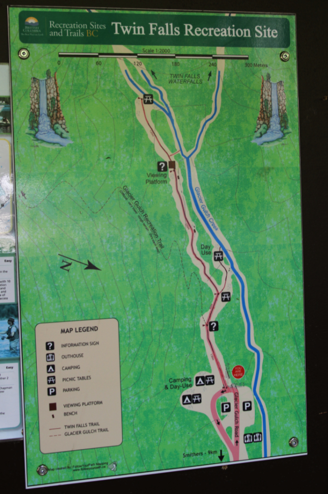
Just before 11:00, I reached the Twin Falls Recreation Site. The map shows the trail to the Twin Falls viewing points clearly, but just shows a faint dotted line for the Glacier Gulch Recreation Trail, as few people hike it. The map notes that the Glacier Gulch Trail is “Difficult – very steep rough terrain – 2 hrs each way.”
I decided to start by hiking up to the Twin Falls viewing points – the trail to the right in the next photo. That would be a good way to get limbered up.
There were a rather surprising number of people for a weekday morning. Most of us were tourists.
When I first visited Twin Falls in 1985, this was a fresh logging clear-cut. It’s pretty cool to have seen the transition from industrial to recreational use. I expect that even most locals don’t know or have forgotten the area’s history.
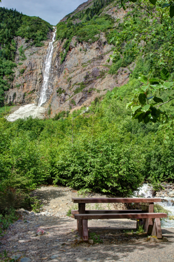
The waterfalls don’t seem to have individual names. This is the right-hand one.
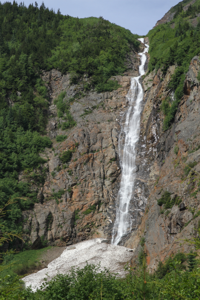
Somewhere to the left of this waterfall is the trail I wanted. “Very steep rough terrain” indeed!
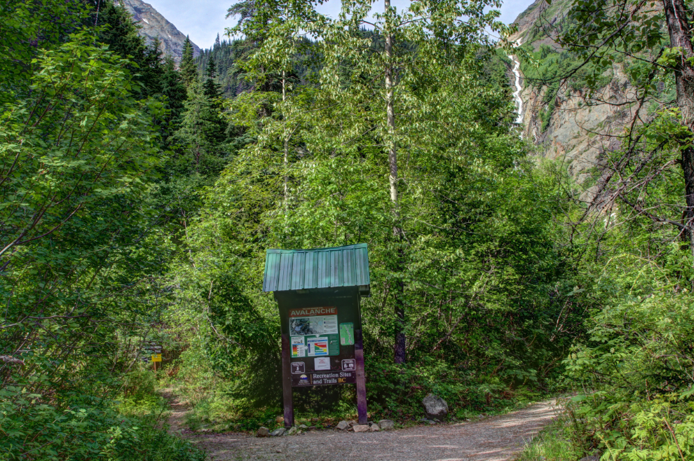
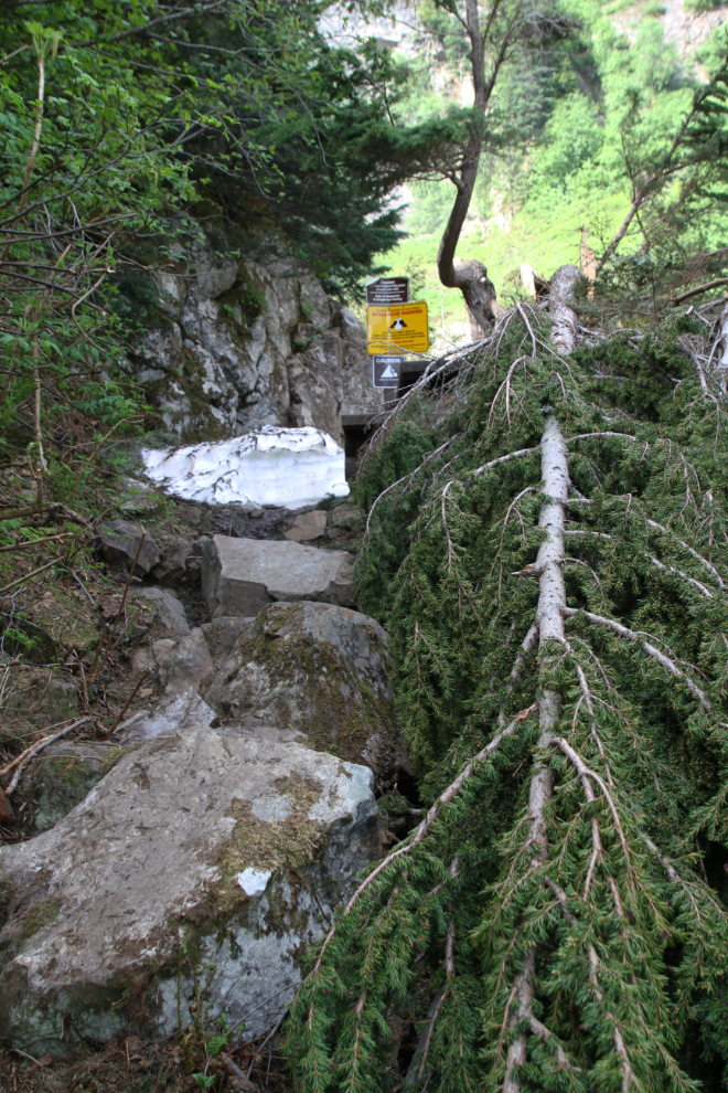
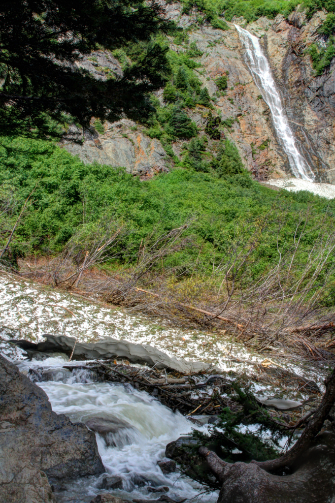
Several signs in the parking area and along the trail noted that an avalanche had done a great deal of damage recently. I was surprised by the size of the avalanche area, and by the size of trees that had been knocked down. There obviously hadn’t been an avalanche there in many decades.
This memorial plaque now marks the end of the trail. The plaque honours 40-year-old Eric Paul Buss, who died in an avalanche here on November 27, 1991. The plaque includes a lengthy quote by English mountaineer George Leigh Mallory about why people hike and climb this and other mountains (Mallory died climbing Mount Everest in 1924, at the age of 37).
…if you cannot understand that there is something in man which responds to the challenge of this mountain and goes out to meet it, that the struggle is the struggle of life itself upward and forever upward, then you won’t see why we go. What we get from this adventure is just sheer joy. And joy is, after all, the end of life. We do not live to eat and make money. We eat and make money to be able to enjoy life. That is what life means and what life is for.
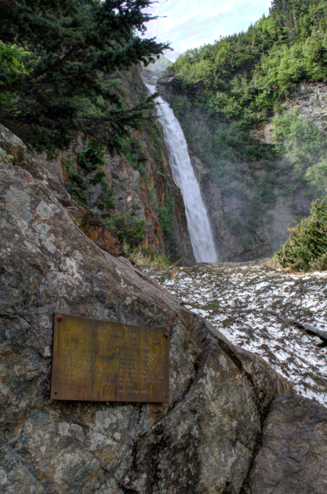
The trail used to go beyond the memorial, but the creek has now re-routed itself right up to the cliff at this point. The amount of snow was a surprise, and didn’t bode well for the high trail.
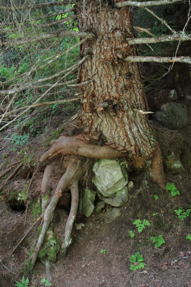
This is tough country to be a tree.
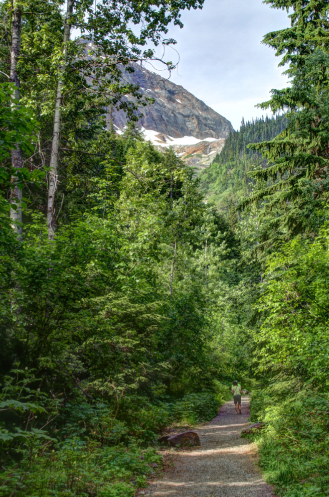
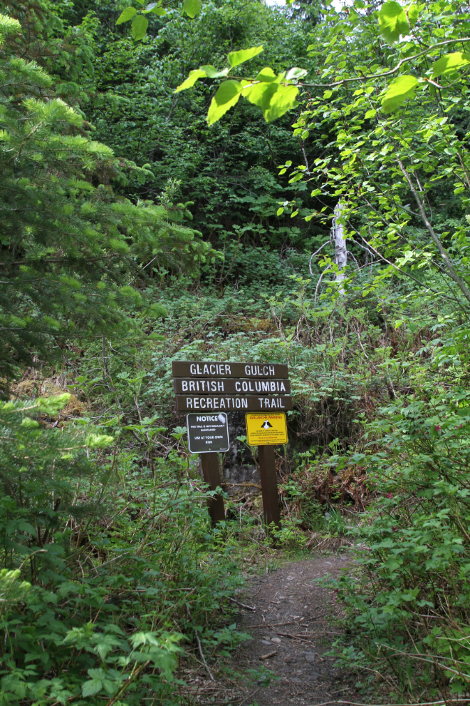
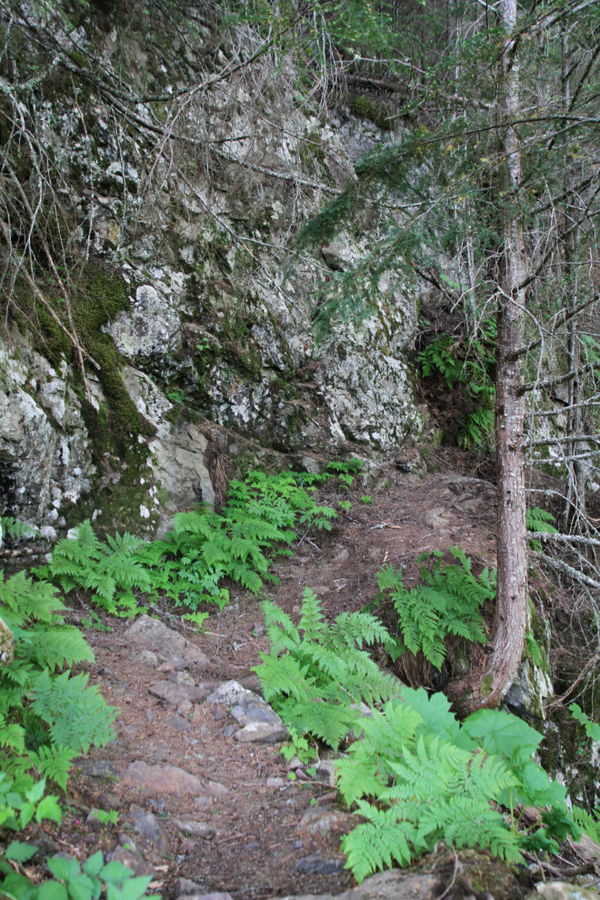
At 11:30, I was back down at the trail junction, and started up the Glacier Gulch Trail.
The Glacier Gulch Trail gets steep and rough immediately.
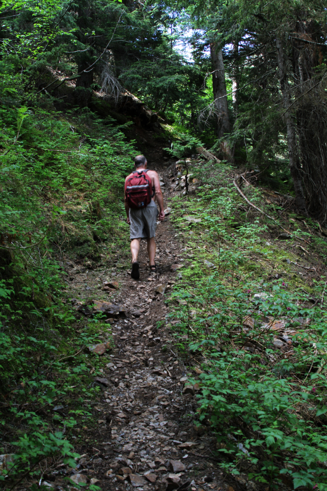
I met 4 young people coming down, but they hadn’t gone very far beyond where I met them.
Even in the deep forest, the temperature was climbing rapidly, and I had soon stripped down to just my quick-dry shorts. In my pack, I had warm gear for what might come up in the alpine, though.
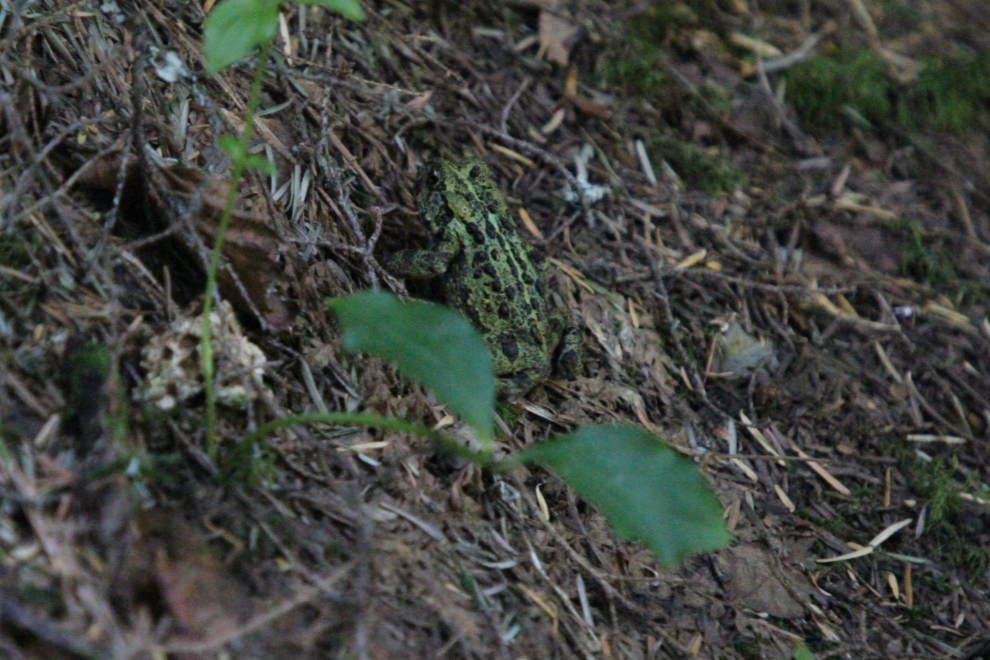
I was seeing a few frogs and toads – more than I remember ever seeing on a trail anywhere before.
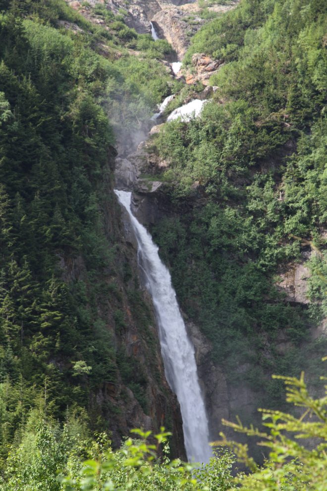
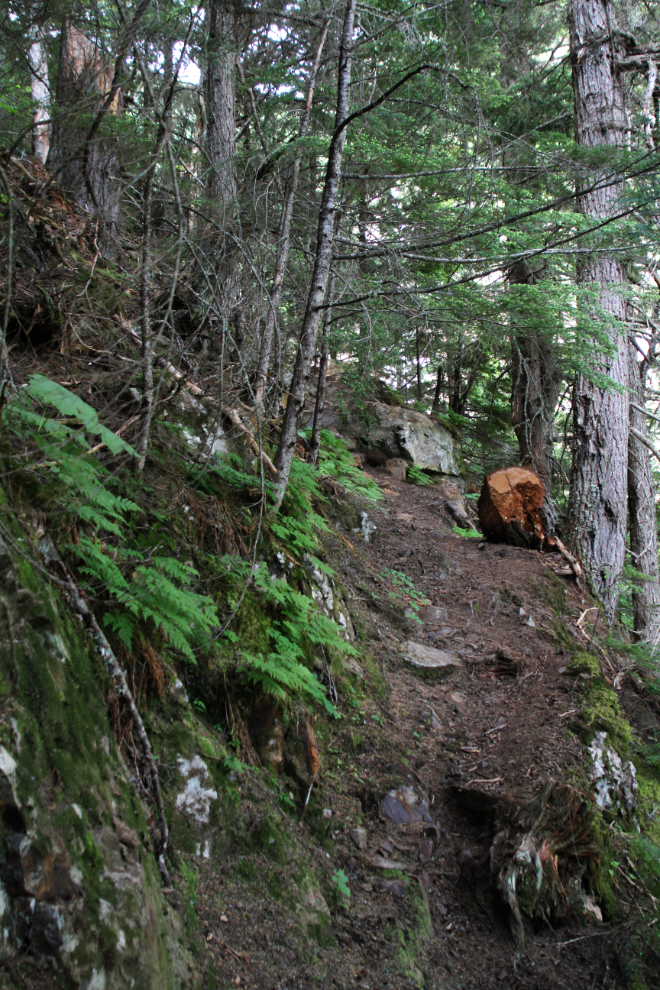
The trail gains altitude quickly – just 20 minutes from the start, I was already higher than the top of the right-hand waterfall. The other one was hidden in the forested canyon below.
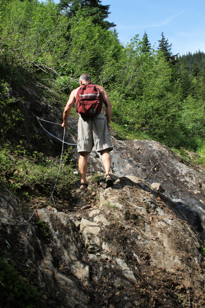
A cable has been installed to help hikers get over one outcropping of granite.
Just 45 minutes from the start, the trail ended at an avalanche chute. The snow was too wide, steep and long to even consider trying to get across or around without proper equipment and a partner. Someone had been across it, but the faint footprints looked like they’d been there for quite a while – weeks, I expect.
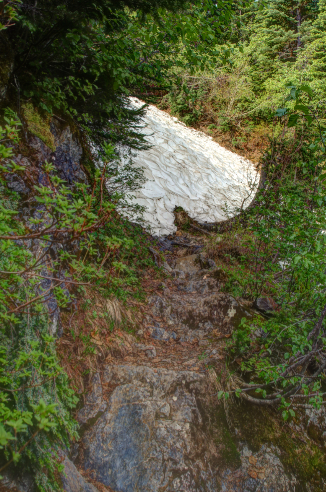
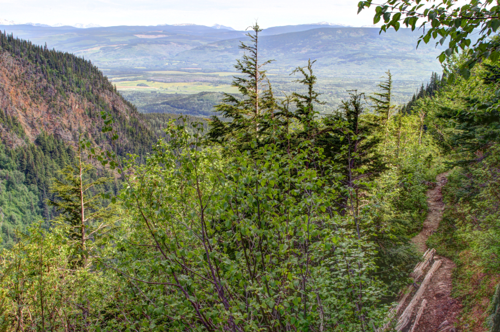
Well, that was disappointing to not even get above treeline – I really expected to get at least that far. There hadn’t even been many views, though the next photo shows the view from a small break in the forest just below where I turned around.
Going back to the scene shot from the RV park, I’ve added an arrow to show the avalanche chute where I got stopped. It wasn’t nearly as far as I had expected to get. Now I know that the Glacier Gulch Trail is a hike for August.
The rest of that day was spent in the air-conditioned motorhome – it was simply too hot to do anything except take Bella and Tucker for short walks. That night was miserable, too – tiny mosquitoes were getting in somehow, making Tucker and I nuts. As much as I love Smithers, I couldn’t get out of there fast enough – cooler weather wasn’t far ahead. The next stop was Stewart.