A Winter drive from Quesnel to Vancouver
We got off to an early start in Quesnel on Friday, excited about this being the last day of the road trip to Vancouver. After a big breakfast at Smitty’s, we were on the road at 06:50.
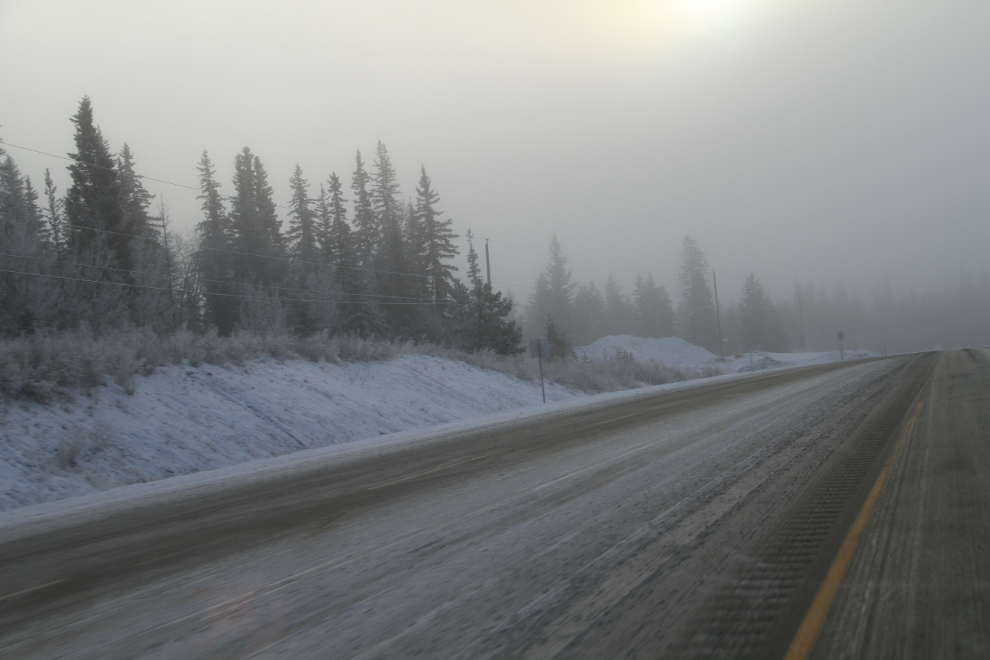
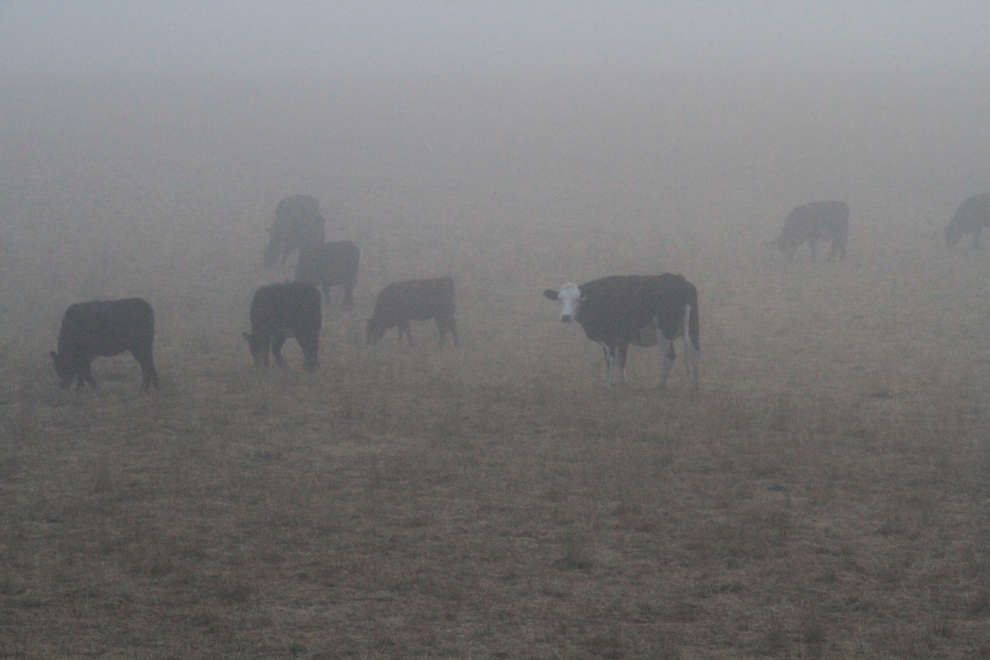
Although we did get a lot of fog and ice as expected, we made good time, and by 09:00 were in 100 Mile House, 210 km (130 miles) south. This used to be “cowboy country”, but it’s a very different world now.
We continued to go in and out of fog and ice for hours.
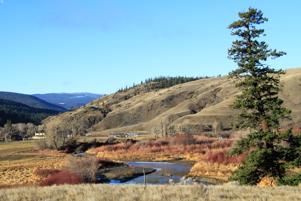
As we neared Cache Creek just after 10:00, historic Hat Creek Ranch prompted a stop for a few photos and a stretch in the warm sun.
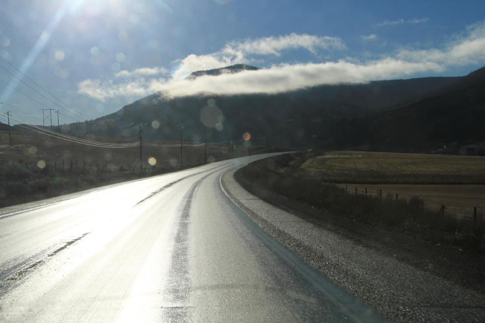
The wet road and sunshine made driving rather blinding for many miles. Not that we were complaining about the sunshine!! 🙂
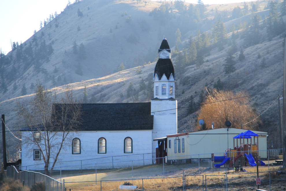
I’ve never had a close look at it, but have always liked the design of the church at the Bonaparte Indian Reserve No. 3, home of the St’uxwtews band of the Secwepemc nation (pronounced suh-wep-muh).
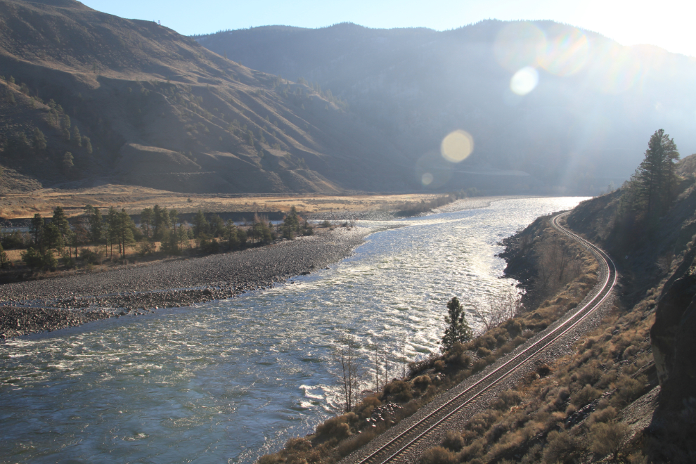
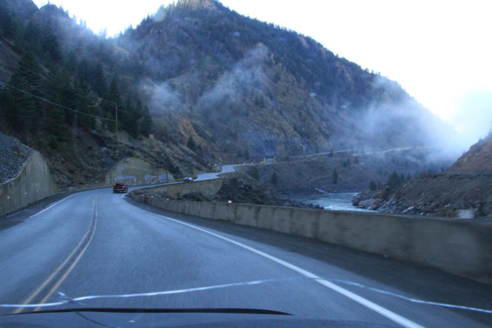
At 10:45 we made a long stop at a viewpoint overlooking the Thompson River. I spent a lot of time in this area when I lived in BC, and could spend a lot more – it’s certainly on the list for a motorhome trip some day not too far away.
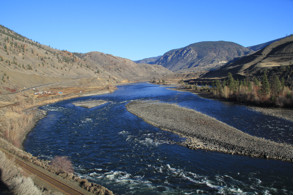
The tight valley has both national railways as well as the highway – the Canadian National on this side, the Canadian Pacific on the opposite side. I dawdled for a while hoping that a train would come along, but no luck. Over the years I’ve spent a lot of time waiting for trains along here – sometimes successfully 🙂
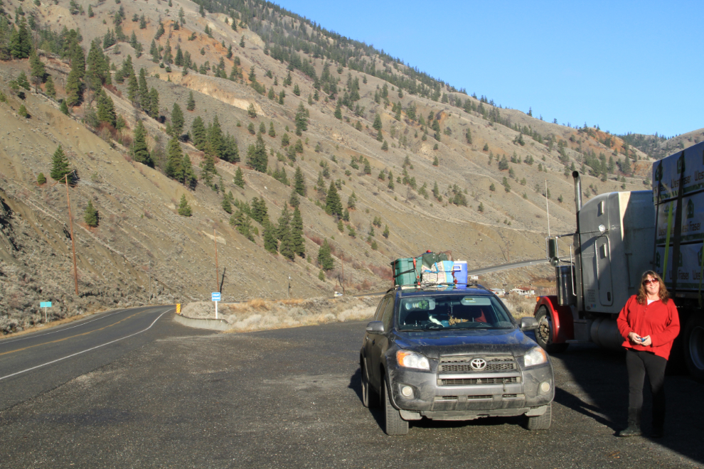
One more photo before leaving the viewpoint, of Bobbie and Car.
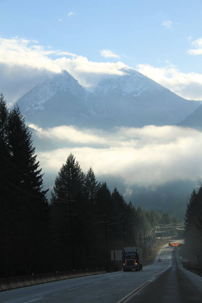
We were not nearly finished with the fog yet, and travel got quite slow at times. Although I had done all the driving as far as 100 Mile House where the ice quit, Bobbie took over from there.
I hadn’t been a passenger in a car along the Thompson River or through the Fraser Canyon in several decades, and was really happy to be able to do almost nothing this day except take photos and tell stories about past adventures in this area.
Starting into the Fraser Canyon, still one of the finest drives in BC.
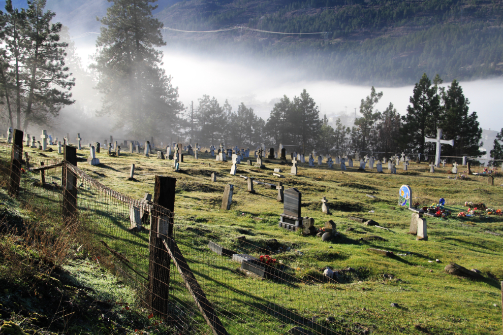
The Klickumcheen Indian cemetery near Lytton caught our interest and we stopped for a walk. Unfortunately very few markers are still legible, but they appear to go back into the 1800s.
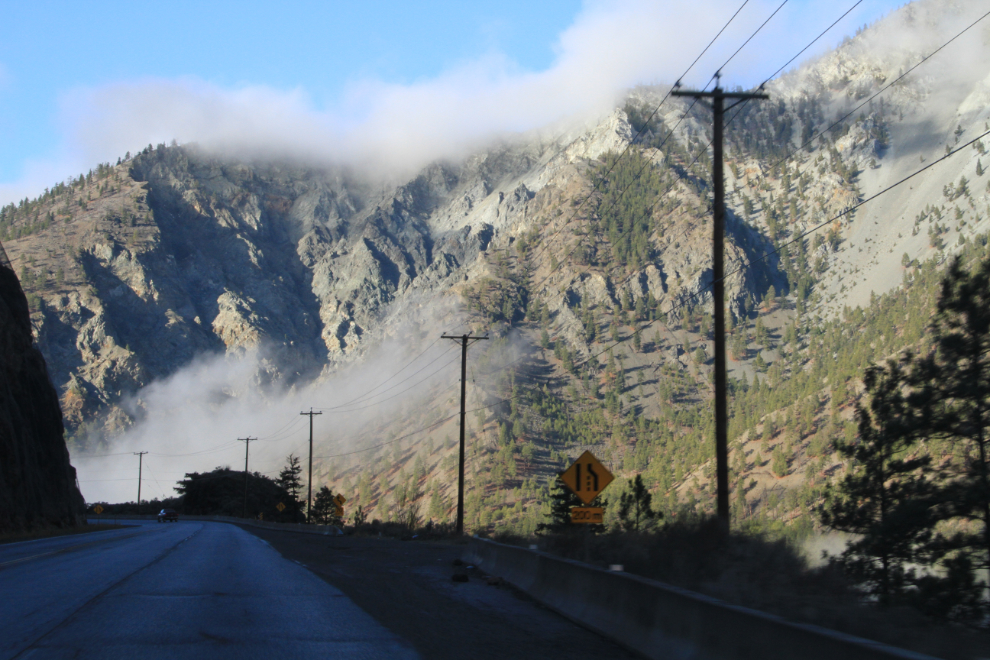
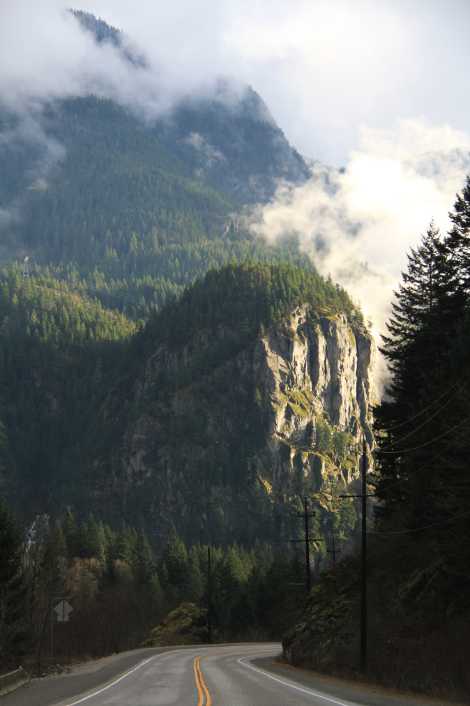
Just before noon, we stopped at a tiny viewpoint that offered this view of the highway and canyon.
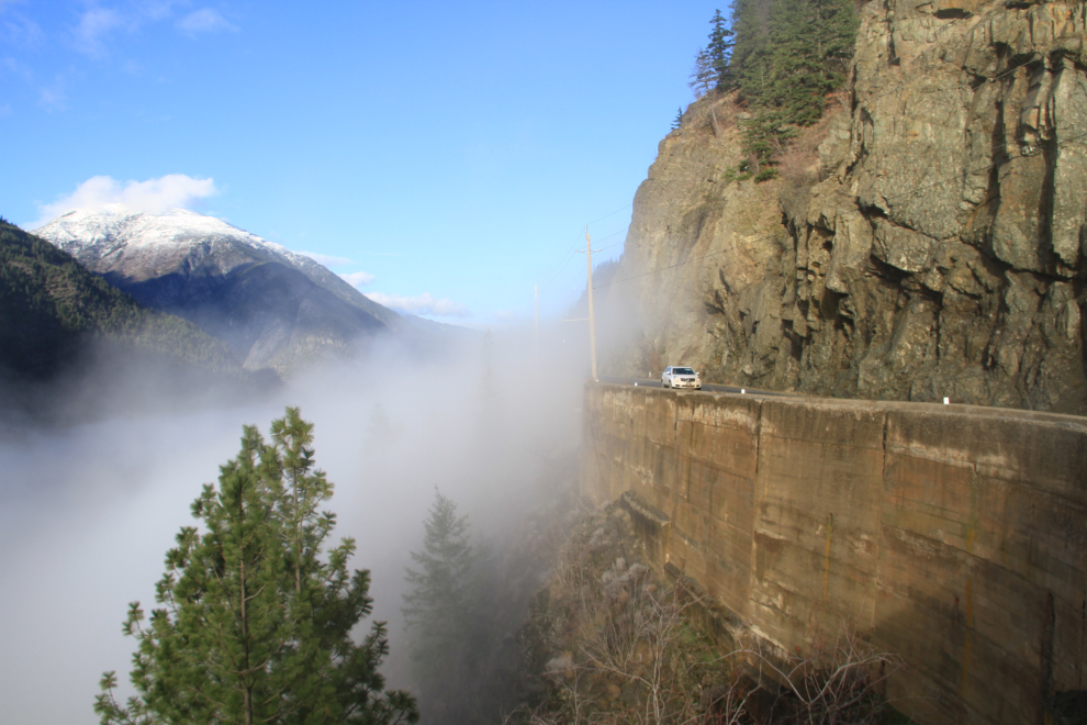
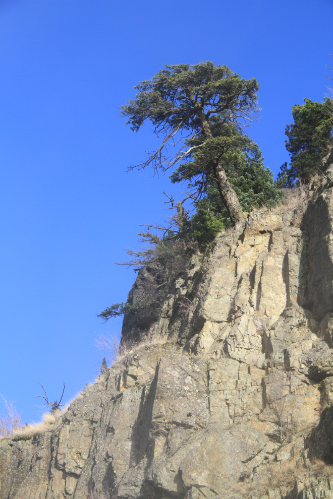
Looking straight up through the mist from the same viewpoint. It’s quite amazing that it’s still hanging on to the cliff.
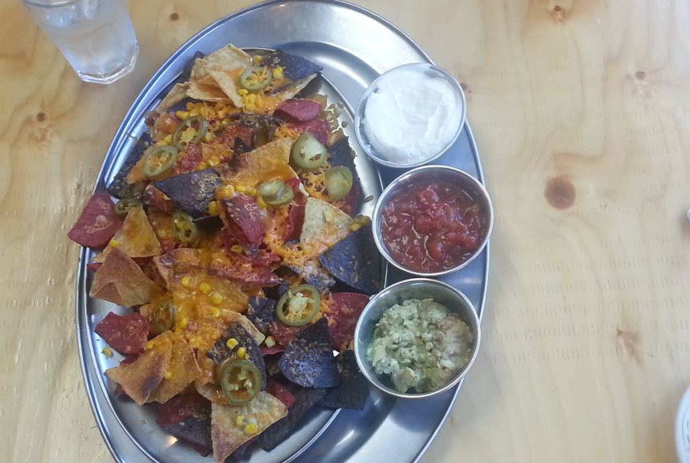
We stopped for lunch at Fat Jack’s just north of Boston Bar, and were very impressed. It was closed for many years, but was purchased 2 years ago, and the new owner is doing wonderful things with it. The nachos were extremely good (guacamole with roasted garlic – yuuum!) and even the clubhouse sandwich was a cut above the norm. Four thumbs up on that stop 🙂
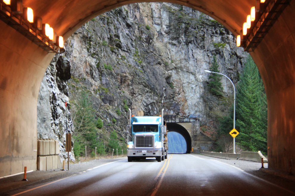
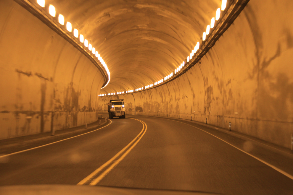
For anyone who likes tunnels as much as I do, the Fraser Canyon is awesome! There are 7 tunnels, built between 1957 and 1964 as part of the Trans-Canada Highway project. In this photo we were about to exit the Ferrabee Tunnel and enter the Hells Gate Tunnel – they are the second and third tunnels coming from the north.
The fourth tunnel, the Alexandra Tunnel, is the longest at about 610 meters (2,000 feet).
I didn’t shoot this video, but if you have 3 minutes and 43 seconds to spare, it shows you all 7 tunnels, driving from south to north.
As you come out of the Saddle Rock Tunnel, this is the view ahead – one of the more dramatic views on the canyon drive.
At 1:50 we were nearing Hope, the southern end of the Fraser Canyon and the start of the Fraser Valley. Bobbie had never been on the upper section of the Lougheed Highway, Highway 7, so at the junction seen in the distance in this photo we stayed on the west side of the river instead of crossing over as most people do.
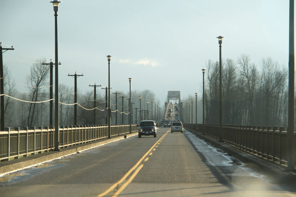
We spent 20 minutes on the Lougheed Highway, and then crossed over to the freeway (Highway 1) on the Agassiz Bridge over the Fraser River.
I had read about the new highway (Highway 17, or the South Fraser Perimeter Road) that makes getting to the Vancouver airport much easier, and had seen part of it under construction, but hadn’t been on it yet. Signage for it on Highway 1 is fairly good, though tends to blend in with ferry signage in some places.
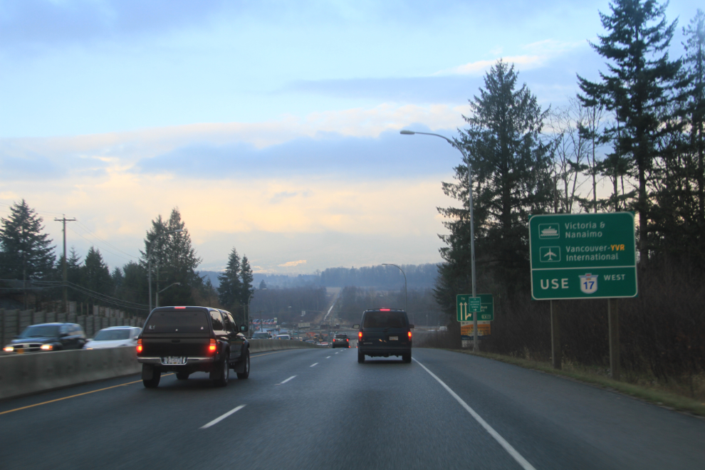
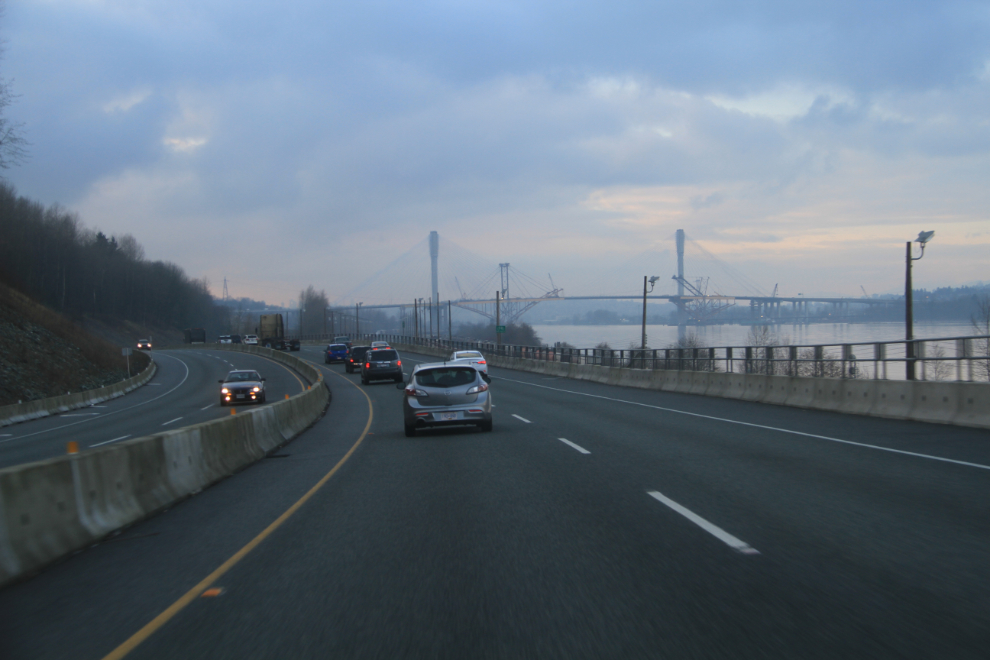
Wow, is this ever nice! The old stop-and-go route through Langley and Surrey was awful, and I avoided having to make that drive whenever possible. That’s the Port Mann Bridge ahead – the old bridge upriver from the 10-lane one that opened 2 years ago is currently being disassembled. The new one has the second longest cable-stayed span in the western hemisphere – the distance between the towers is 470 meters (1,542 feet).
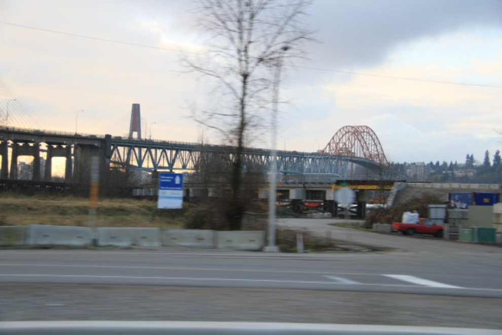
I’ve crossed over that bridge countless times during my life – it’s the Pattullo Bridge between New Westminster and Surrey, built in 1936-37. Land acquisition costs must have been a big part of the $1.26 billion cost of the South Fraser Perimeter Road, as this was a fairly well-developed area.
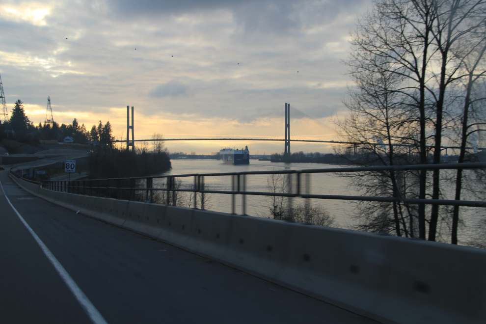
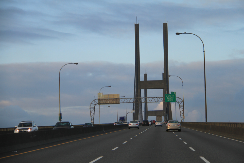
Ahead, a huge auto transport ship, the Glorious Express out of Singapore, goes under the Alex Fraser Bridge, a.k.a. the Annacis Bridge.
When we got near the south end of the Alex Fraser Bridge, the South Fraser Perimeter Road ends, and so does any signage to the airport. We ended up in a residential part of North Delta, made a U-turn on a very busy street and got back to the bridge, which is the correct access to the airport.
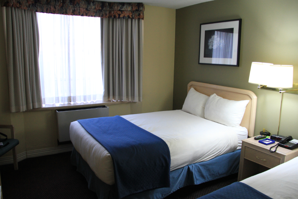
We were in our hotel room well before 4:00. The Coast Vancouver Airport Hotel was the cheapest accommodation of the trip, and certainly offered the best value – in fact for $72.45 total on a senior’s rate it was quite remarkable. Even Internet access and an airport shuttle are included.
After getting settled, we drove into Richmond to see my oldest brother and his wife, a perfect end to this trip. On Sunday morning, Bobbie would catch the ferry to Vancouver Island, and I’d fly home.