A 2-day winter wander to Kluane Lake, Yukon
Ten days ago, back on Saturday, December 19th, I decided that I needed to get out of here for a bit. Not far, just away by myself for a night or two. So on a rather blah day at about 2:30 in the afternoon, I headed west, destination probably Kluane Lake to start.
When I shot the first photo at 3:07, I was just west of Whitehorse on the Alaska Highway. Traffic was very light, but would soon get even lighter.
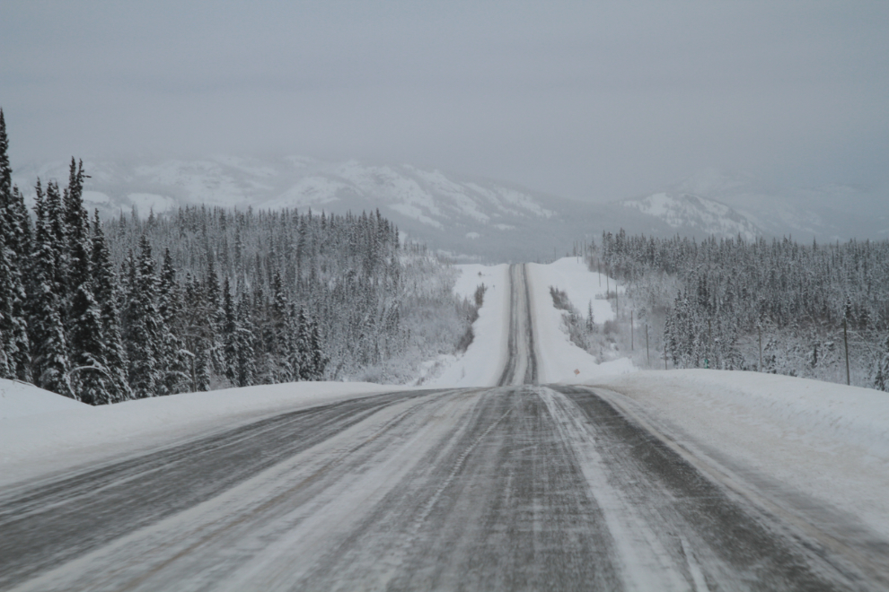
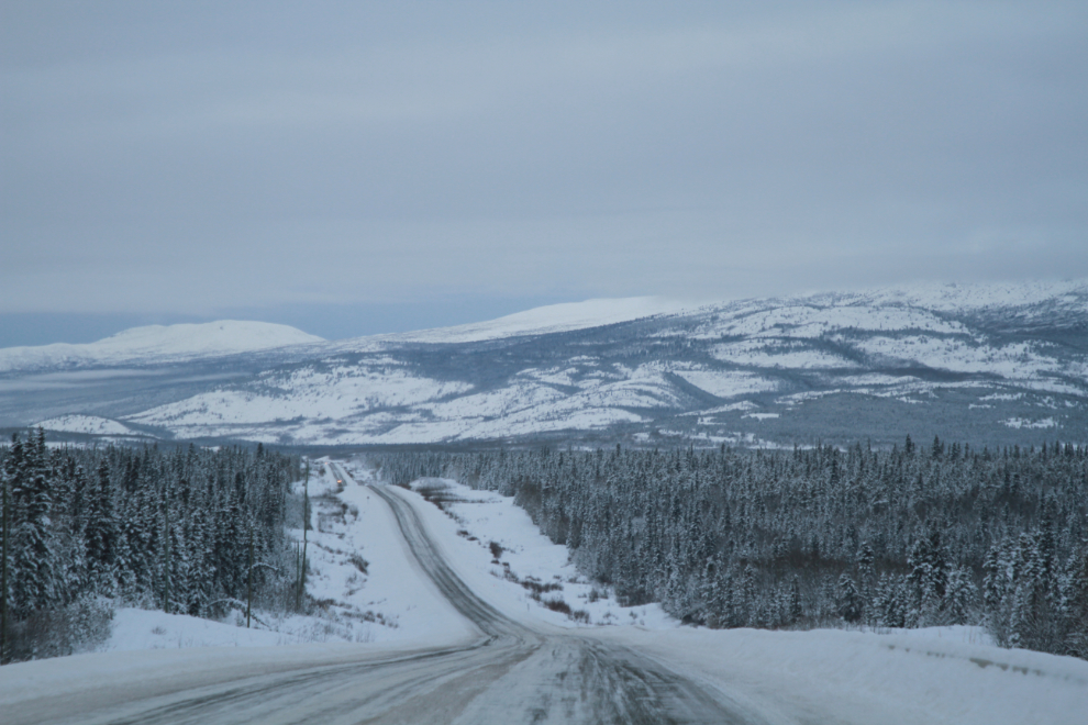
Thirteen minutes later. The highway was bit icier than normal but not too bad. My all wheel drive was comforting in any case.
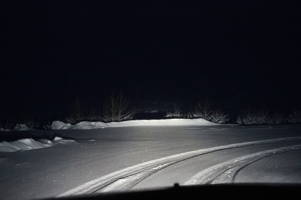
Two days from the shortest day of the year, sunset was at 4:46 so it was dark by the time I reached Kluane Lake. I parked at the large pullout where I usually have my motorhome. I had thought about bringing it but getting it ready was too much work and sleeping in the car isn’t that big a deal even at -23°C / -9°F. I had expected the skies to be clear, but I only got the odd glimpse of stars between the clouds, and it snowed a couple of inches overnight.
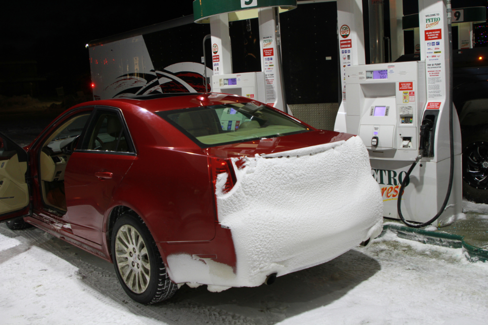
In the morning I drove back towards Haines Junction with a few locations in mind for dawn photos. I decided to keep going right to Haines Junction for fuel to give me more options. When I was at the pumps it was 09:50, still an hour and 18 minutes from sunrise. The fresh snow stirred up by my car had covered the back of the car, making me all but invisible in the unlikely event another vehicle came up behind me, but I cleared it off before leaving.
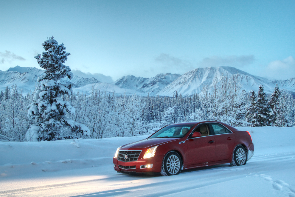
I was having another bad spell with my brain injury, and needed to stop for a nap on the way back to Kluane Lake. This pullout was one of the locations I had in mind for dawn shooting – this was shot 16 minutes before sunrise. My Caddie is 11 years old now, but I just can’t bring myself to sell it – it’s still the nicest road-trip car I’ve ever driven.
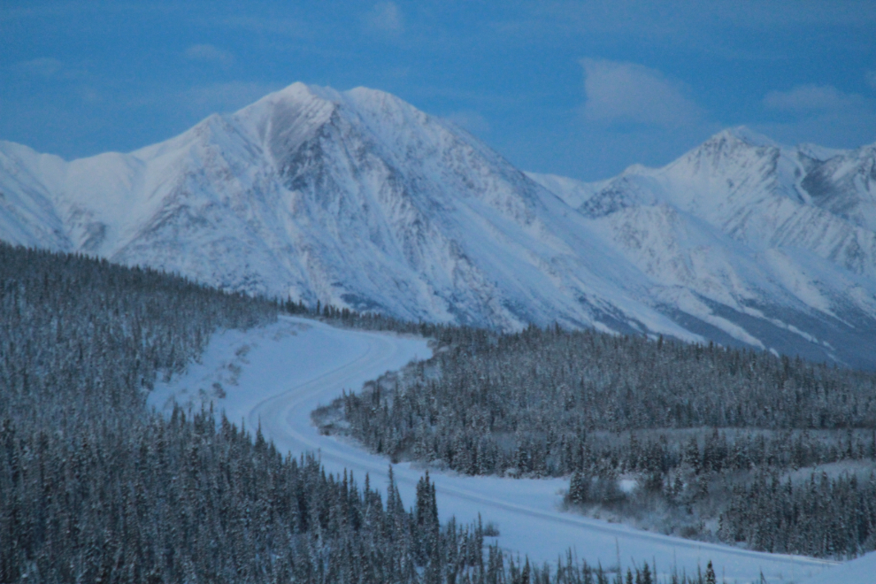
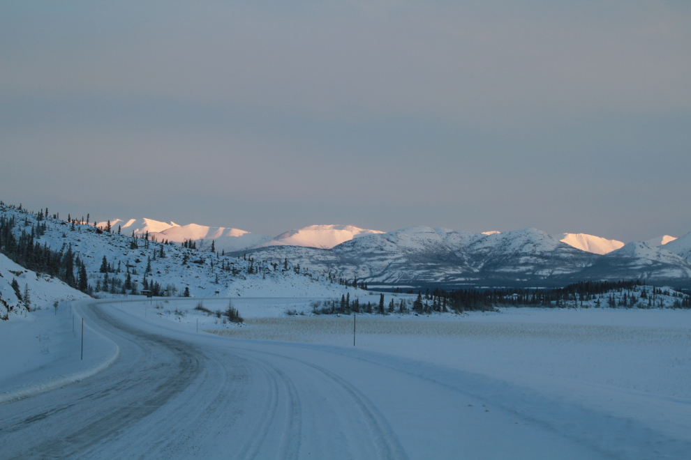
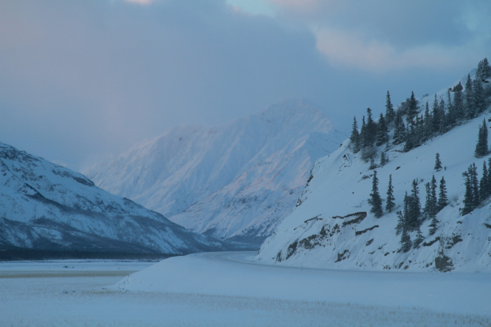
This view across Christmas Creek at Km 1630 of the Alaska Highway is one of my favourites. The road ahead is on the final climb to Boutillier Summit, at 1,003 meters (3,293 feet) the second-highest point on the highway, and in the distance is the Kluane Range.
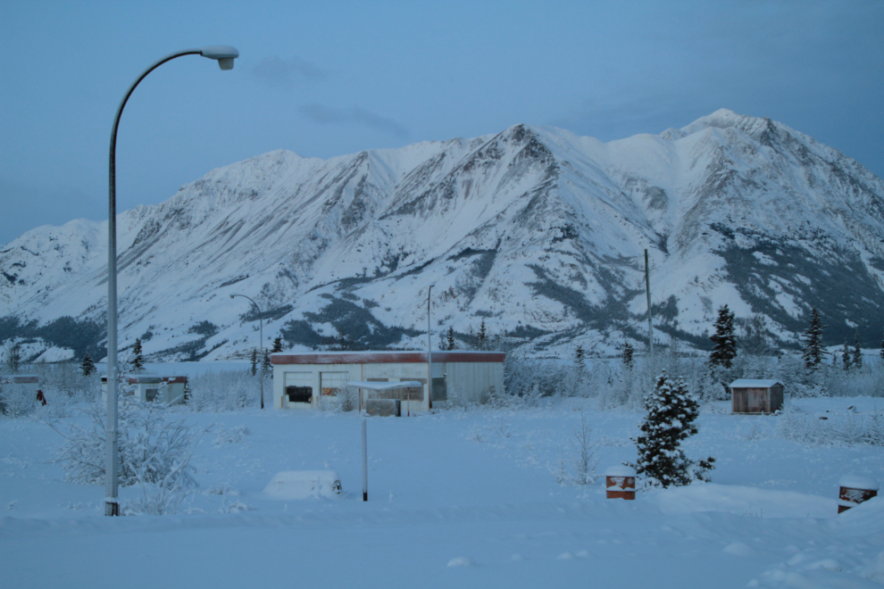
This long-abandoned lodge with Sheep Mountain behind was shot at 11:12, 4 minutes after sunrise, but the sun was hidden by both a bit of cloud and a high mountain.
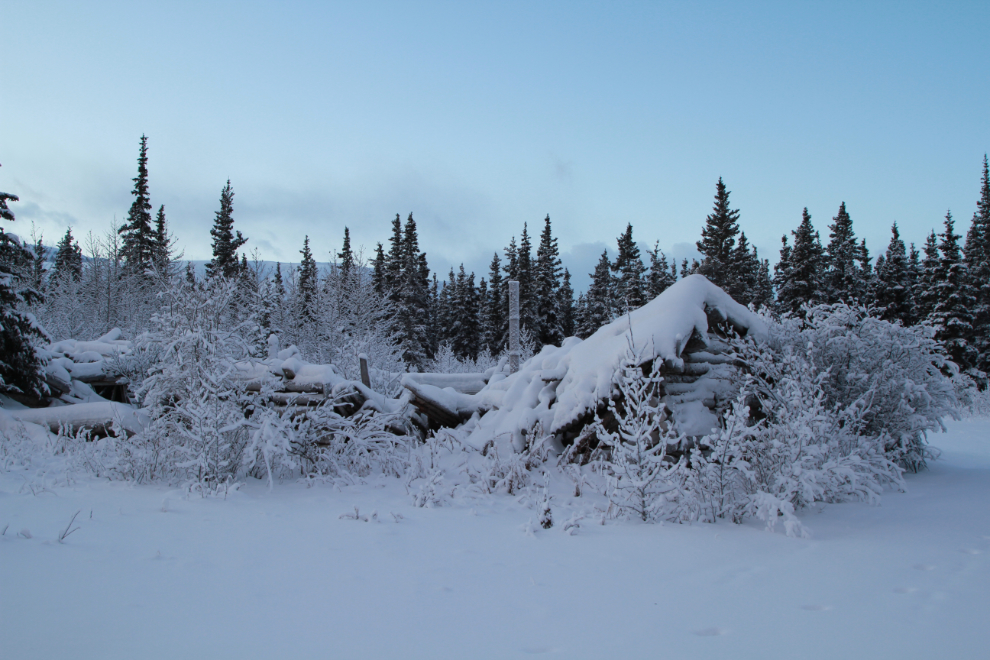
Not being particularly inspired by what I was seeing at the lake, I backtracked a few kilometers and detoured to the ghost town of Silver City. Each time I visit, the buildings seem to have collapsed more 🙁 The property is privately owned by a non-Yukon family who apparently don’t care so there’s nothing that can be done about it.
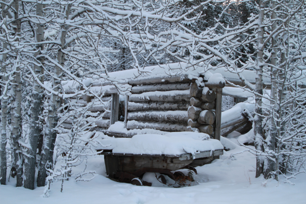
It doesn’t seem like that many years ago when you could walk through this building, the largest one in the community.
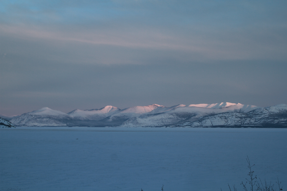
Back at Kluane Lake at 11:53, the sun was starting to put some wonderful colour on the distant peaks of the Ruby Range.
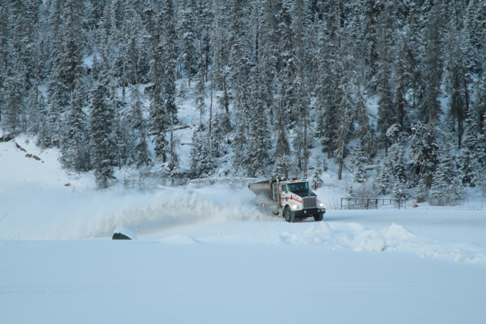
Continuing west, I wasn’t sure how far I was going to go, but a pullout in the distance in the next photo turned out to be it.
That pullout was a good place to watch a snow plow go by – the first vehicle I’d seen in an hour or so…
…and the view up the Slims River valley to the south was spectacular. A mild telephoto was used for this shot – 93mm.
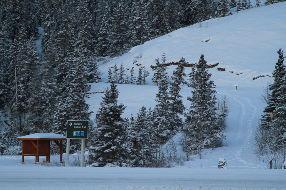
When I headed out this way I was hoping to hike the Soldiers Summit Trail, but the wind was nasty, so I passed on that opportunity.
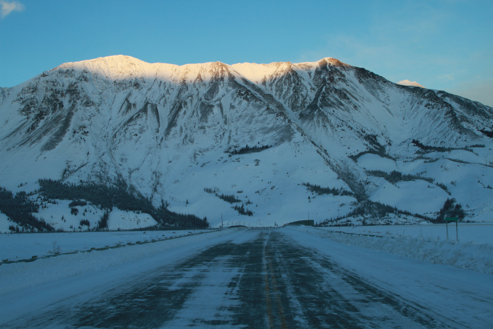
Continuing my wandering in search of photo ops, the sun hit the top of Sheep Mountain at noon:11.
Just before 1:00 I decided to drive down to the Haines Summit for a look. On the way, I got side-tracked (as often happens 🙂 ). It was -25°C / -13°F when I left the lake, but I hit an incredible weather front that made the temperature jump to -1°C / +30°F!! I did a U-turn to confirm some details of that event. At one point, driving at 80 km/h, the temperature climbed 7 degrees Celsius in 35 seconds! I’ve seen some crazy temperature swings before, but nothing like that.
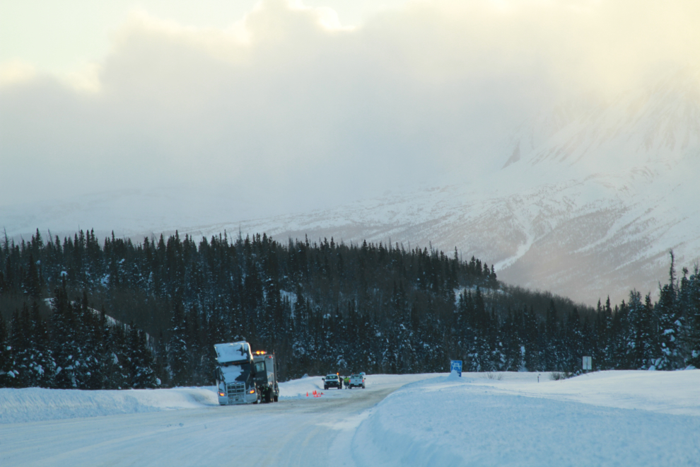
The trucker on the left was having a really bad day. I couldn’t figure out what happened but when the first time I went by he was jack-knifed across much of the highway and Highways crews were directing traffic. The sleeper on the truck was badly bent, so it had been an extreme jack-knife. In this photo, the trailer had been towed away and a tow truck was about to haul the tractor away.
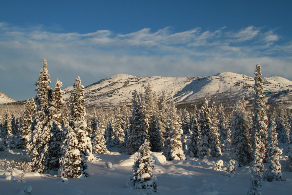
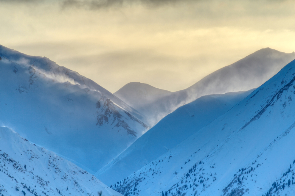
At 3:00 p.m. I hadn’t even made it back to Haines Junction yet. High winds and spindrift among the peaks off to the south provided some good photo challenges. Now that would be an ugly place to be hiking!
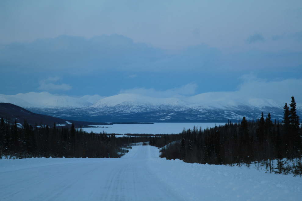
I made it down the Haines Highway about 80 km before deciding that the weather wasn’t going to allow for any worthwhile photography. The next photo, looking at Dezadeash Lake from the south, was shot at 5:04.
Just before reaching Haines Junction again, I pulled off and had a long sleep. I woke up about 02:00 and headed for home.
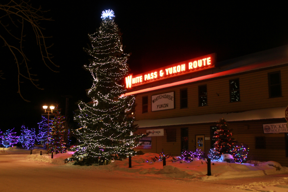
Two more naps along the way got me back to Whitehorse just before 04:00, and I detoured to get some Christmas light photos.
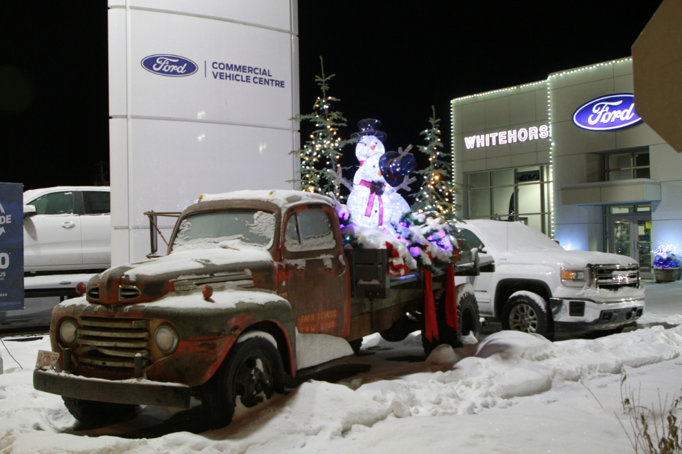
This is actually the photo I had in mind when I made the detour.
I was back home in bed by 05:00 – while not what I’d hoped for, it was good to get out.
Wonderful story,thanks for taking us along