Exploring Dawson Creek: old bridges and new energy
I always enjoy my time in Dawson Creek, and the more time I spend here, the more I like it. I never feel like I’ve seen all there is to see, and the people are consistently wonderful. Saturday, September 12th, day 4 of the trip, was our day to see more of the area.
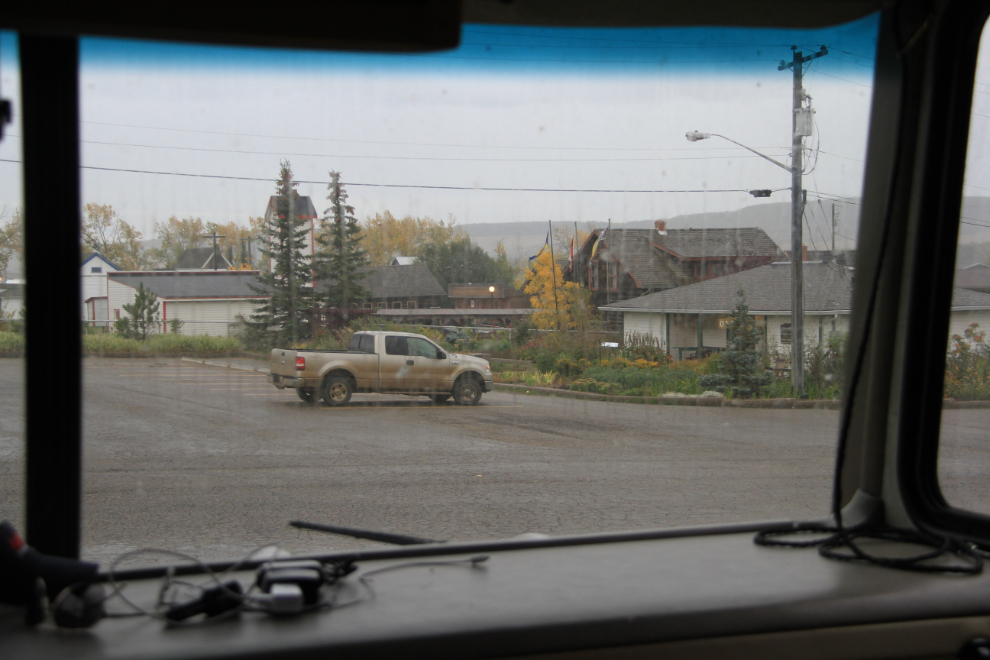
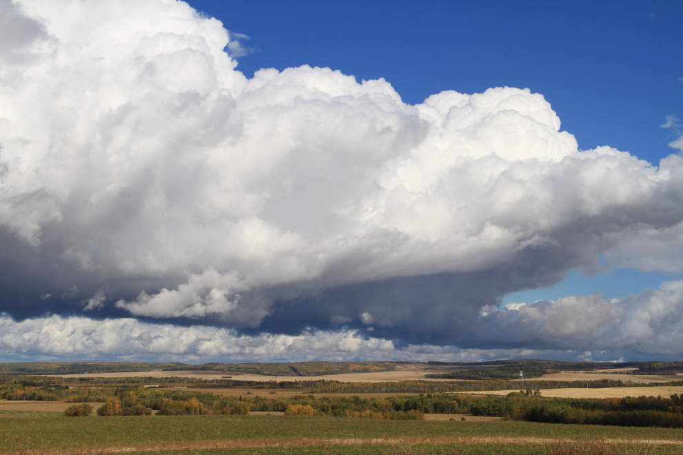
This was not the day I wanted or expected. A forecast of 60% chance of showers instead started off with torrential rain, then slowed down slightly. At least the views out all my windows were quite nice.
Just before noon, I decided that we had some exploring to do regardless of the weather, so I unhooked the Tracker, loaded up the dogs, and drove a couple of k to the visitor centre for some directions and possible ideas for new places to see. The staff there is always great, and I soon had what I needed.
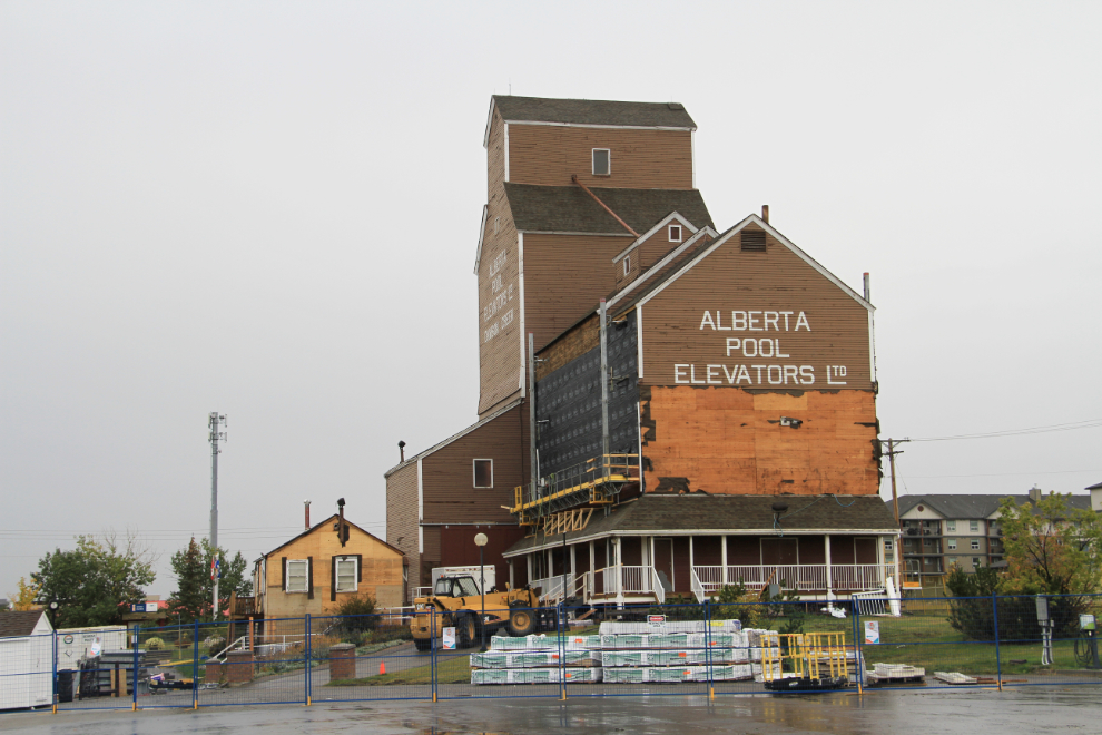
I was surprised to see that the art gallery was closed for major renovations. I wish that I could get back down for the December re-opening.
There were blue skies to the north, so that was the direction to start. I thought about going right to Taylor for a few shots, but instead stopped at Kiskatinaw Provincial Park to see the curved wooden bridge on an old section of the Alaska Highway. I’ve seen the bridge from the top many times, but never from the river, so that was the first stop. I let the kids out to go for a walk, and then saw this sign. Does that say “no Dogs”? No dogs????? Okay, I let them explore for a few minutes and then put them back in the car while I went to get the photos I wanted.
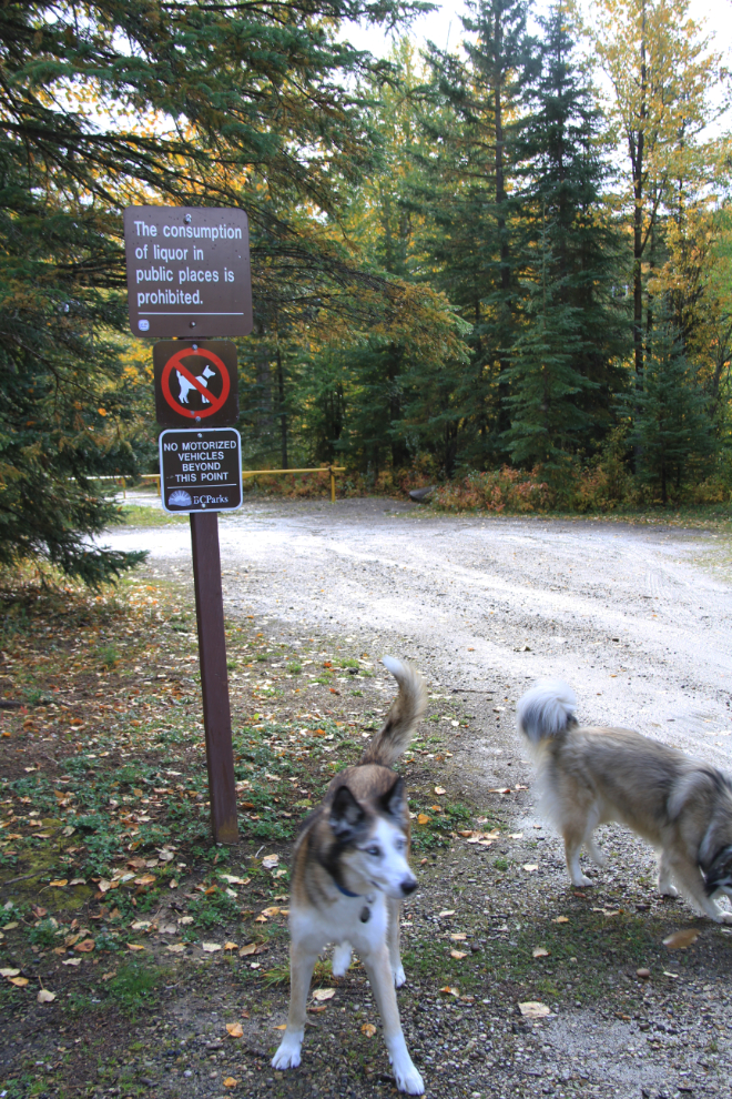
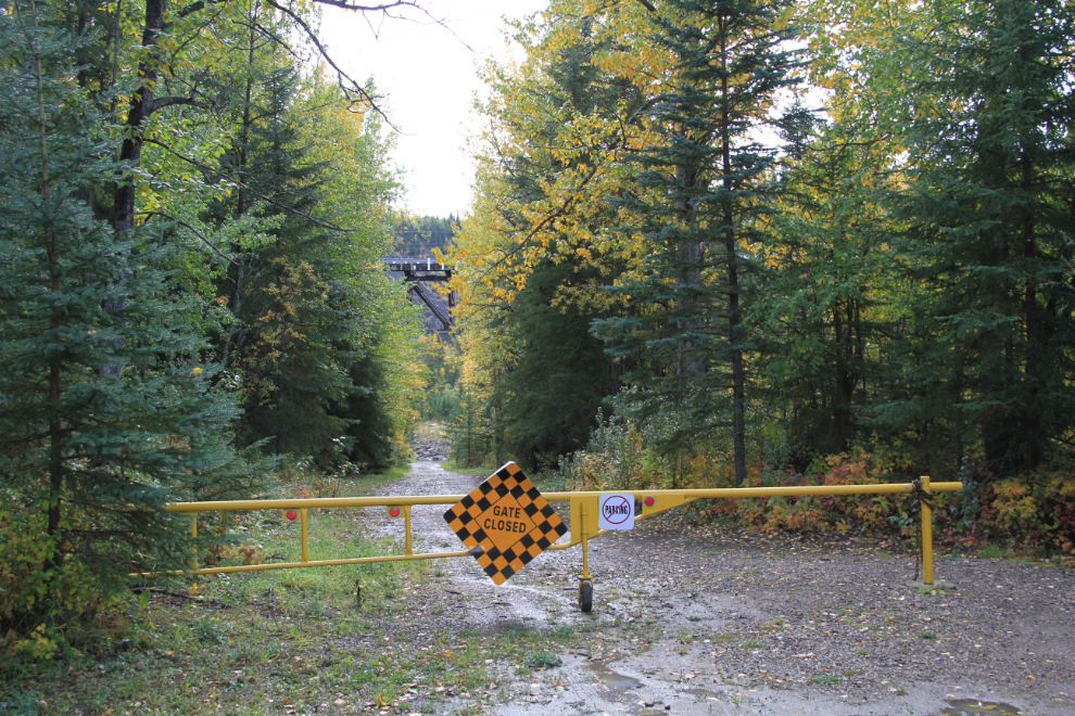
Maybe someone in BC Parks just likes to post signs. “Gate Closed” – ya think??? Geez…
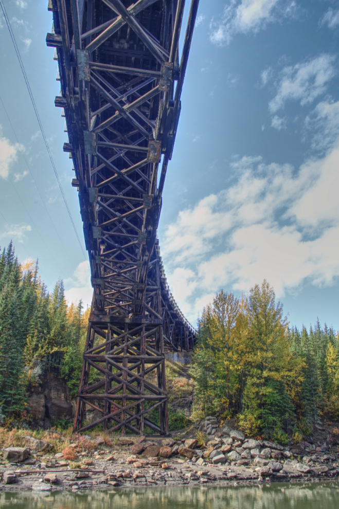
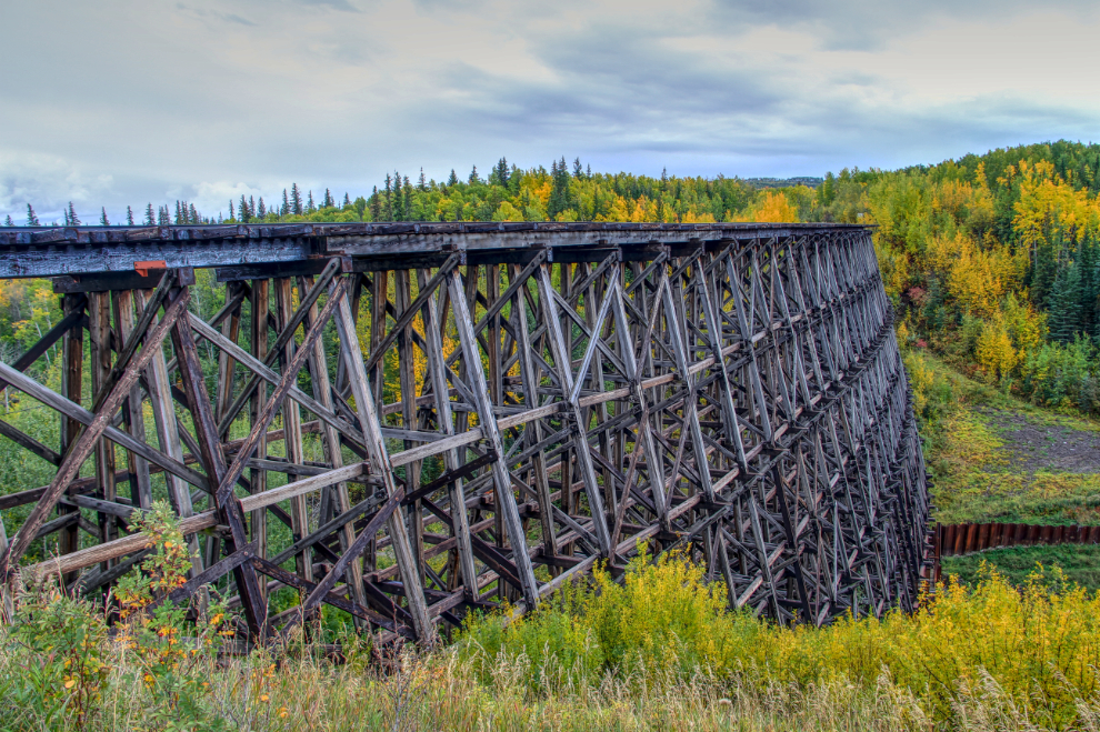
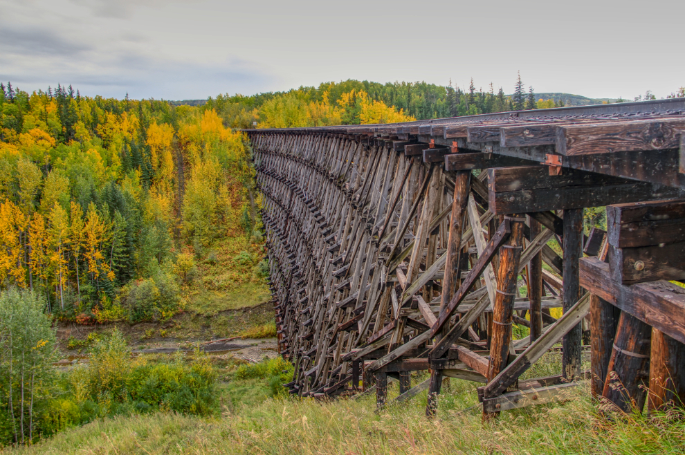
Anyway, enough with signs – the bridge is awesome! It took 9 months to build, with the first concrete poured in November 1942. It’s 162.5 meters long (534 feet), has a 9-degree curve and a banked deck, and took 500,000 board feet of creosoted BC fir to build.
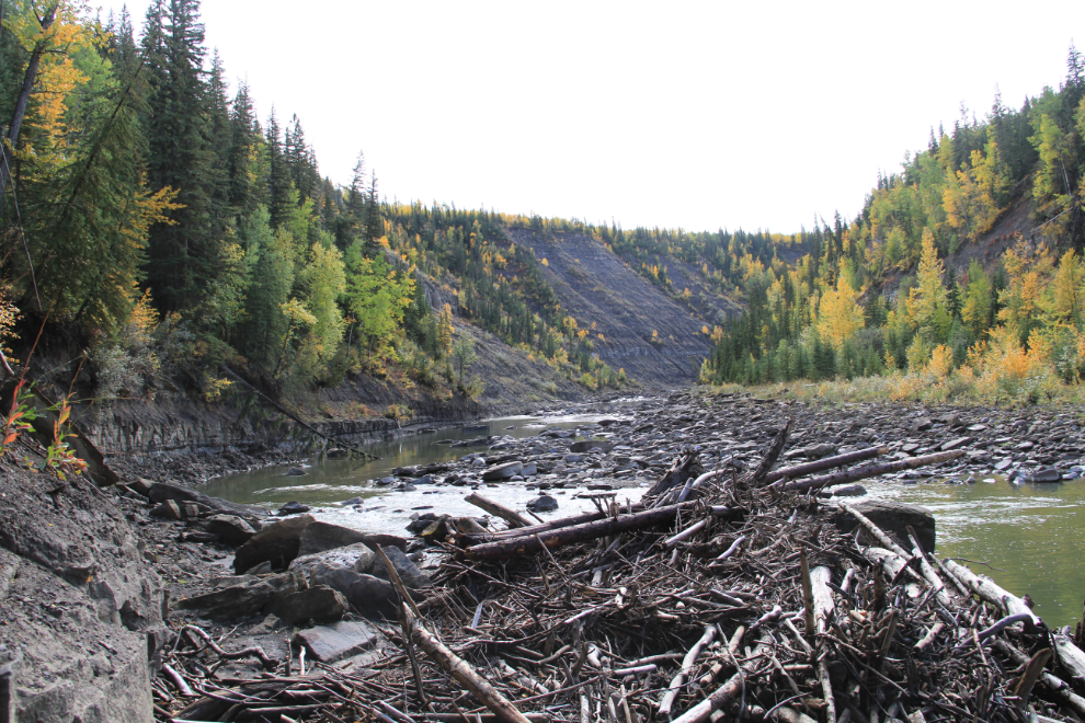
The canyon above the bridge is quite impressive. The new highway bridge, built in 1978, is about half a mile upstream and crosses over this canyon.
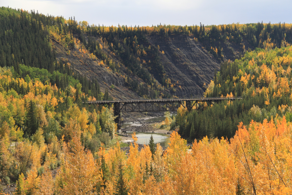
Driving back up to the road, I drove up to a pullout for a distant view of the bridge. This is a photo that I’ve shot many times over the years – Fall is probably my favourite time to see it.
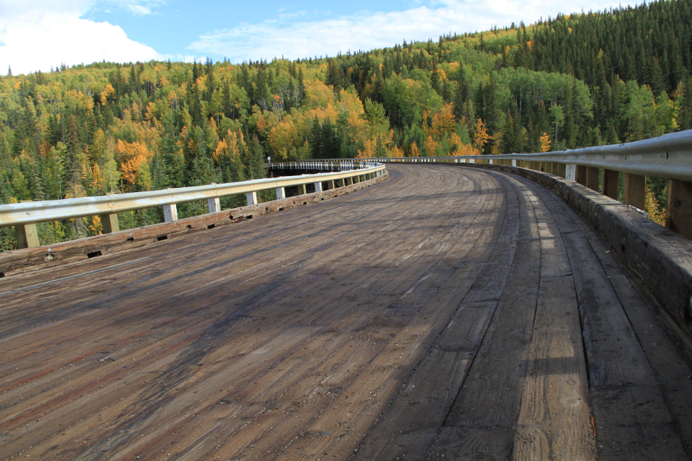
Back across the bridge for a closer view of the curve and bank. It was the first of its type built in Canada, it’s the only one of the wooden bridges built on the Alaska Highway that is still in use, and it’s the only curved, banked trestle bridge remaining in Western Canada.
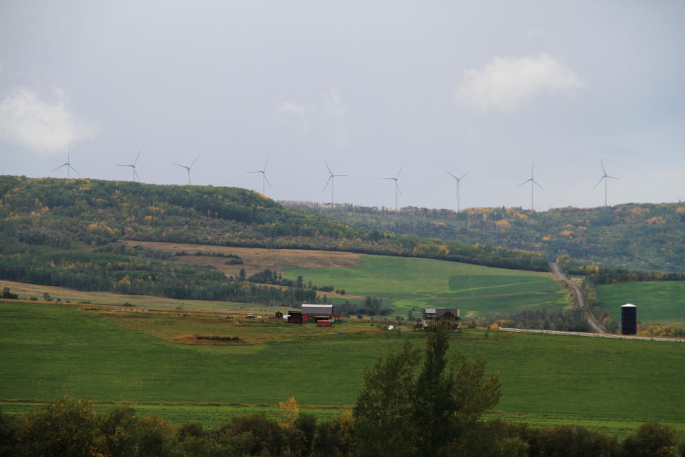
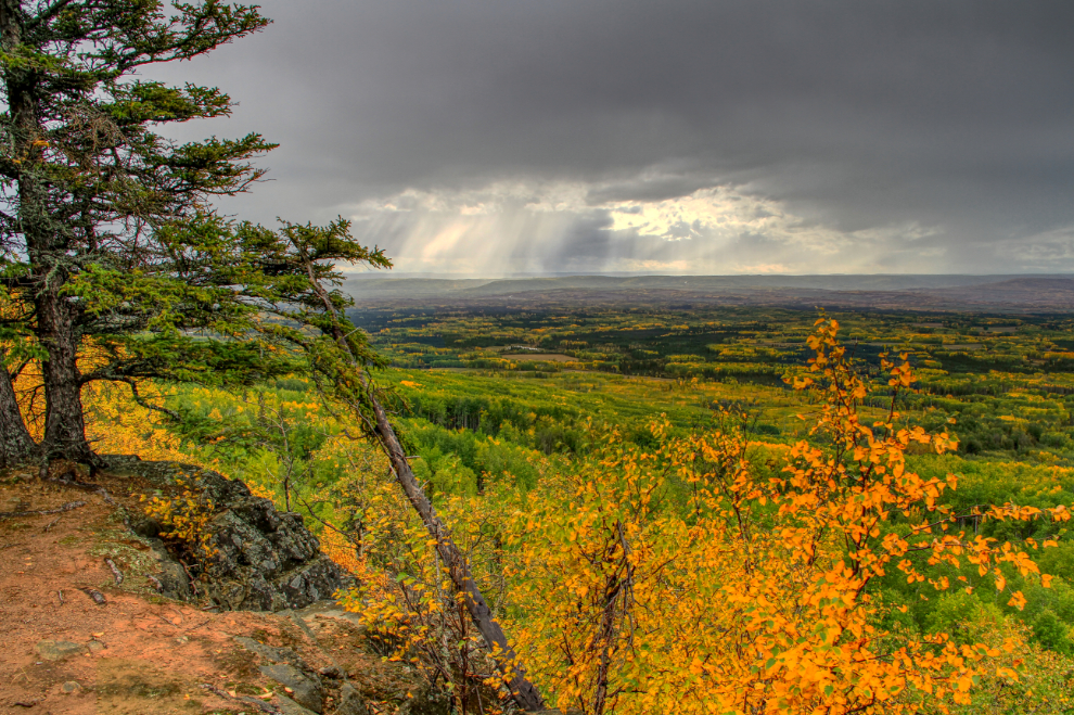
The next shows one of the reasons that I enjoy this country – rolling fields and big sky! For people used to commercial agriculture, people like me taking photos of fields and tractors and irrigation equipment apparently seems really odd, but I think that it’s all very cool 🙂
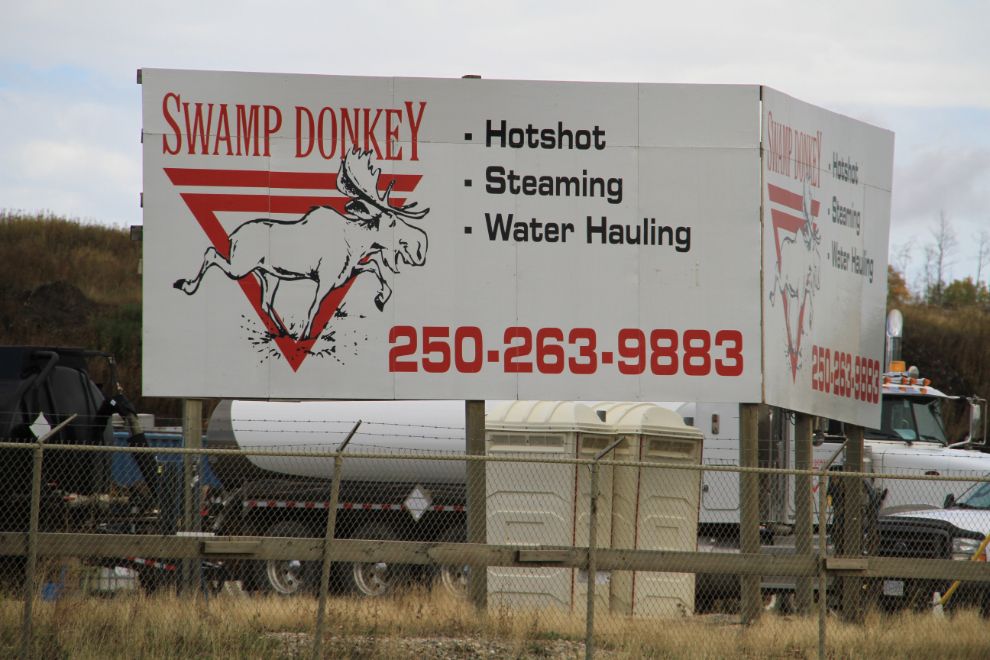
The blue skies didn’t follow us back to Dawson Creek. I love this company name – “swamp donkey” is what some folks call moose.
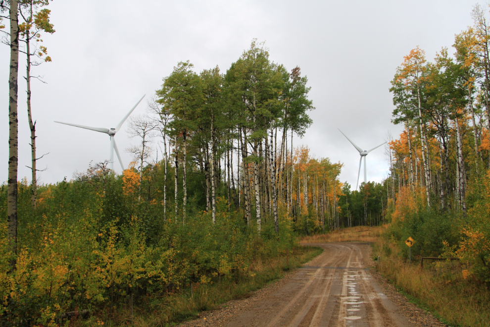
Giving up on sunshine, the next destination was the most important one – the Bear Mountain Wind Park. I’d been to it in the winter before, but wanted to see what it looked like without all the white stuff. Sitting on top of a long ridge, it can be seen for many miles in almost every direction, though a bit obscured by rain in this photo.
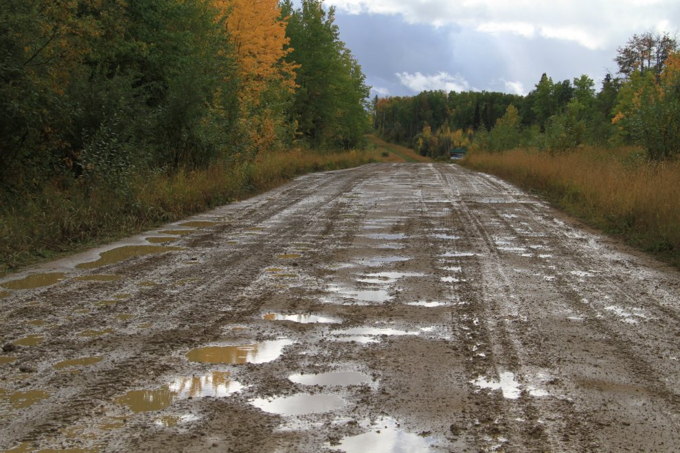
The park brochure says that the park is accessed on a “well-maintained gravel road”. Well, I call it a very rough gravel road, and a very muddy rough gravel road after a heavy rain! There is just under 11 km (6.8 miles) of gravel.
After driving through a forest for a long time, all of a sudden, you turn a corner and WOW, there they are! It’s quite shocking.
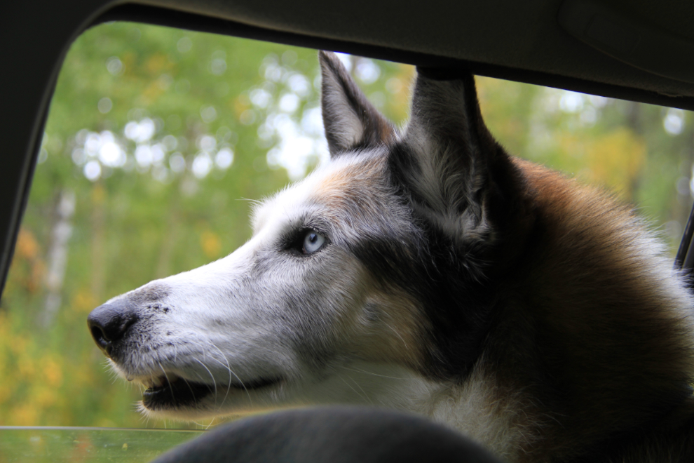
This was Monty’s reaction to seeing them for the first time. There’s a lot going on in that big head 🙂
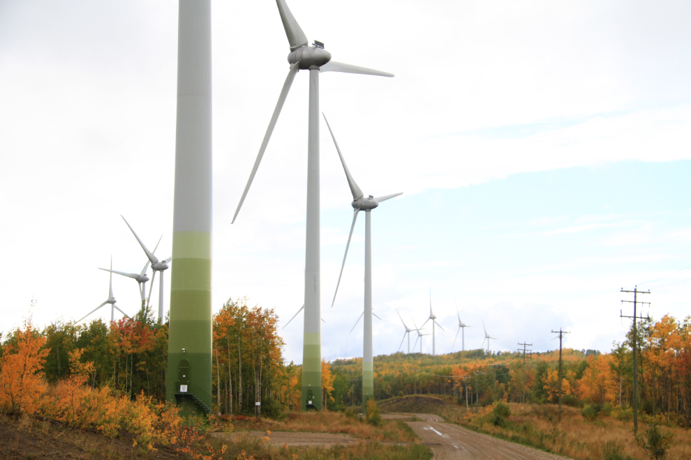
The road from Tower 34 to Tower 0 is 6.9 km long (4.3 miles), and offers many photo ops – this is looking back to the south from Tower 0. The towers, built in Germany by Enercon, are 78 meters (256 feet) tall, and each of the blades are 41 meters (135 feet) long. Each of the 34 turbines produces enough electricity to power 1,000 homes, and the entire facility delivers enough electricity to power most of BC’s South Peace region.
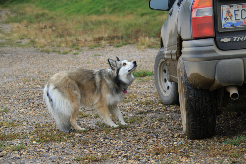
When we got out to go for a walk, Bella’s reaction to the turbines was very different than Monty’s. I tried to calm her down, but had no luck, so the walk was very short, although she was better when we were under trees. Her reaction made me think of the people in the original 1953 movie “War of the Worlds” as the mechanical giants approached.
The views are quite stunning – this viewpoint looking west is particularly easy to get to, from Tower 10. The drama was increased by processing this as an HDR image.
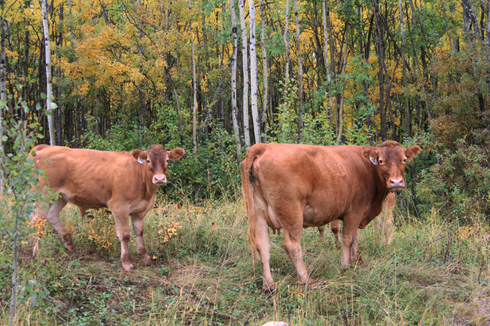
On the drive back down, I stopped a couple of times so Monty and Bella could have a bit of a chat with some cows, an animal they seldom see (in fact Bella hasn’t see any since she was a baby in Alberta).
Our next stop was at Pouce Coupe, a small town just east of Dawson Creek the attraction there was a trestle built by the Northern Alberta Railway in 1931. This is the abandoned line leading from the trestle. The directions that I got from the visitor centre in Dawson Creek led me through a residential area that doesn’t welcome traffic like that – the best way to it is via the truck route, which is Elevator Road. I mention this because I saw a blog post earlier this summer by an RVer there to see the trestle, saying that he met some residents who were very unhappy about him being there.
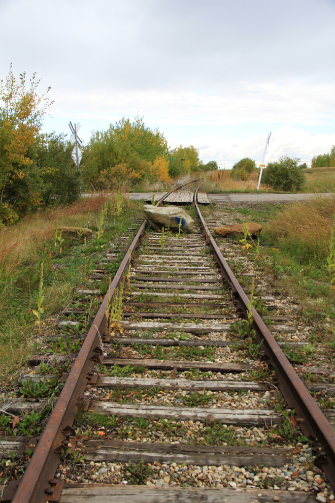
The only information I can find about the trestle other than its date of construction is in the book “God’s Galloping Girl: The Peace River Diaries of Monica Storrs, 1929-1931”, which says that the trestle is 150 yards long.
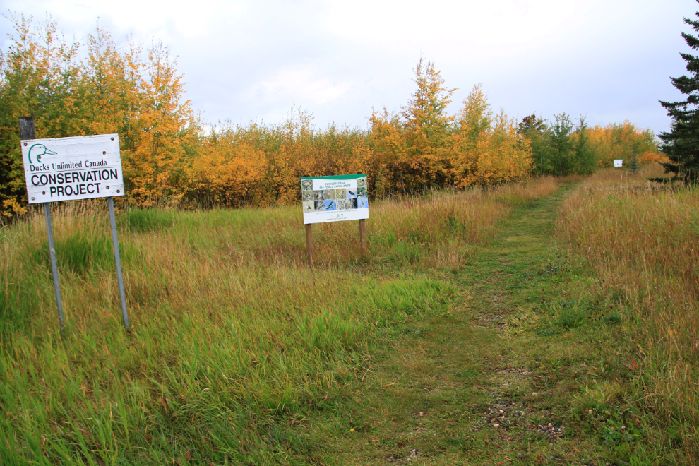
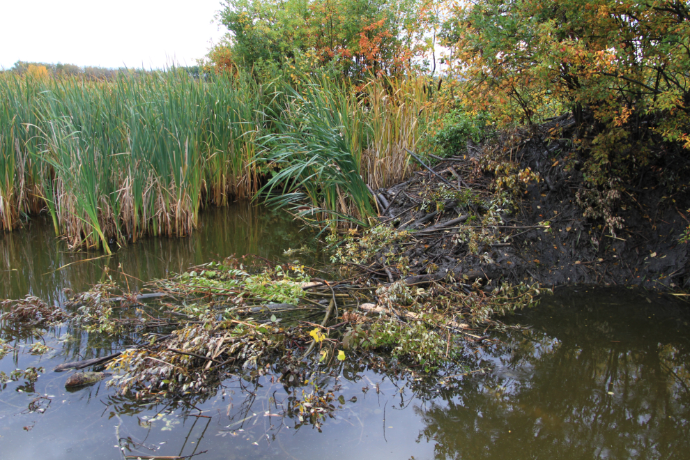
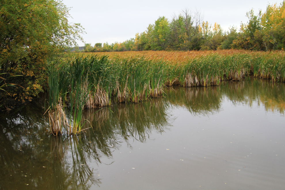
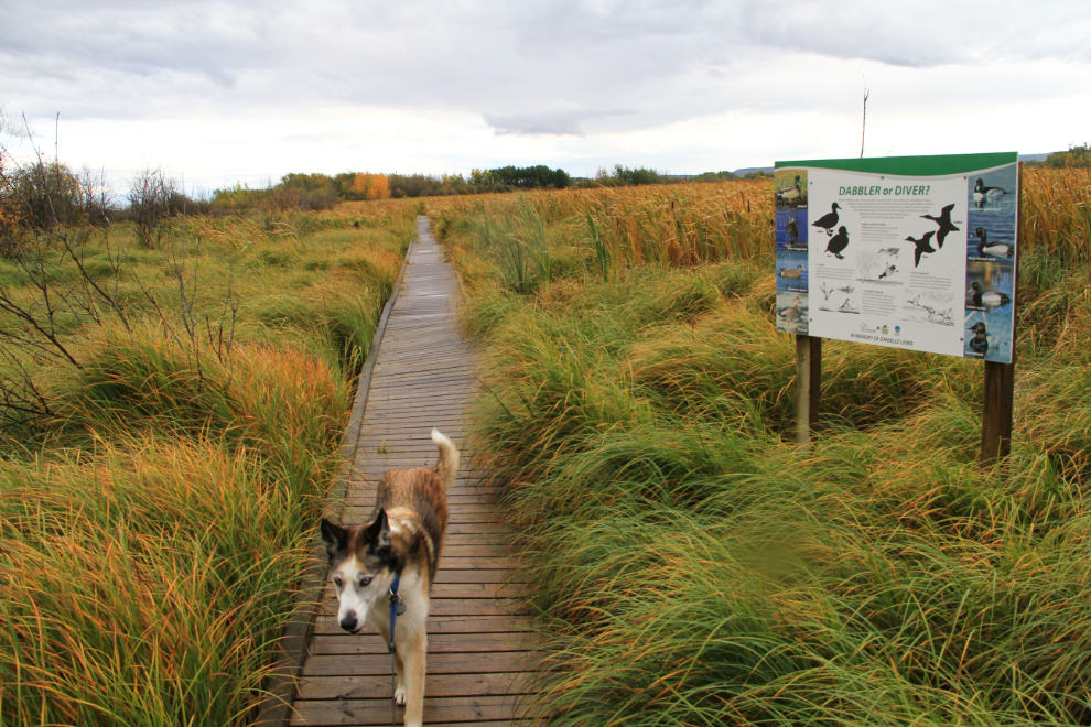
Our final stop of the day was McQueen Slough, located off the Rolla Road 5 km north of its junction with Highway 49. The Nature Trust of BC and Ducks unlimited have partnered to create this conservation and education site.
One of the beavers building this new lodge left as we approached (of course), but with some patience (and no dogs), I could have gotten some good photos there.
There seemed to be few birds around, but I could have spent a lot longer looking under the right conditions.
Unfortunately, somebody was hunting, and the second shotgun blast while we out on this open boardwalk terrified Bella, and she was going back to the car whether I wanted to or not, leash be damned! 🙁
Despite the miserable start, it turned out to be a good day. With a similar forecast today for the region (showers and a high of 12°C (54°F), we’re off to see the W.A.C. Bennett dam at Hudson’s Hope, and then to an undetermined destination for the night. It’s now 06:30 and about time to get the day started.