9 days at Kluane Lake, Yukon – Part 2 of 2
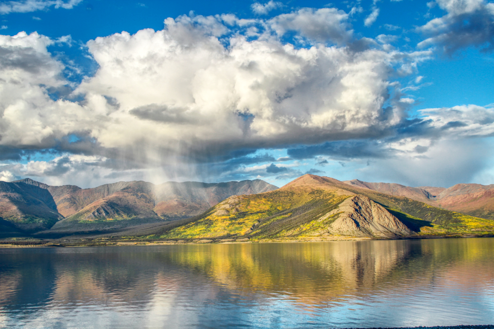
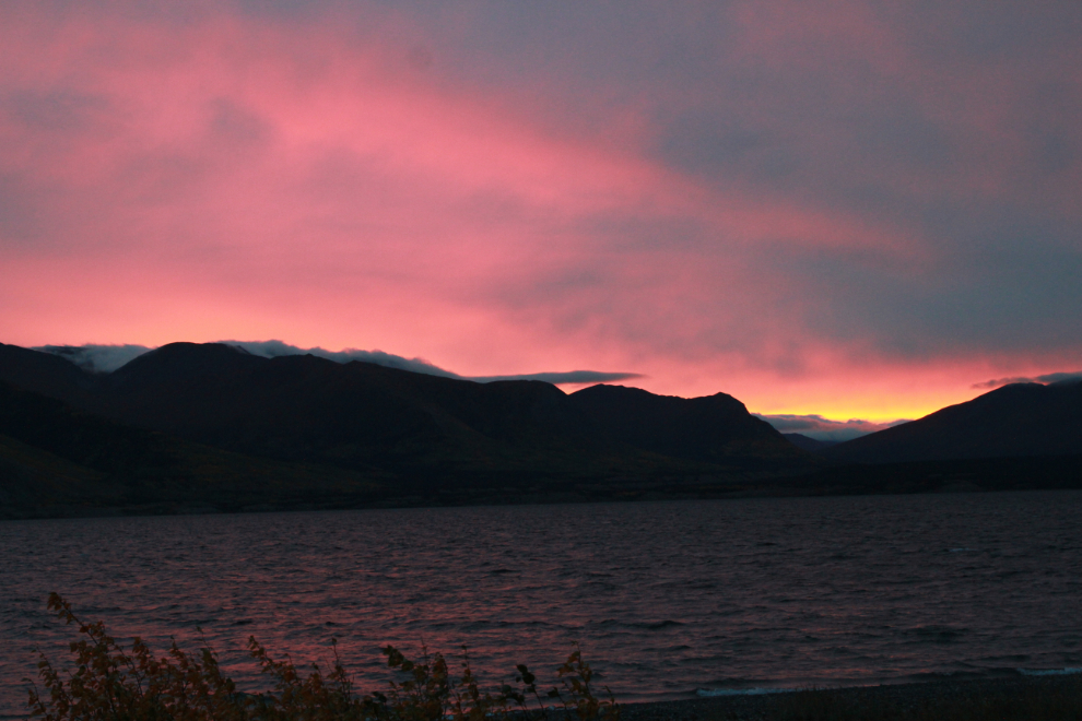
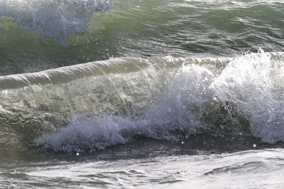
When I left you last post, I had just poured myself a celebratory glass of very good single-malt on the evening of Tuesday, September 6. The day wasn’t over yet, though. Seeing great light on the beach just before 9:00 pm, Cathy and I went down and were greeted by this scene.
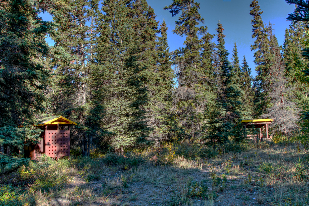
Wednesday, September 7, dawned clear and cold – it was 0°C/32°F with not a cloud in the sky, and a slight breeze. On our morning dog walk, I did the longest route yet, called “Congdon Creek Campground extended loop plus” in my Strava activity logger. It took 37 minutes to do the 2.4 km which included the loop road around the abandoned section of campground. I mentioned the tens of thousands of dollars worth of buildings and equipment still in the abandoned campground – the next photo shows one of the outhouses and a firewood bin along the loop road.
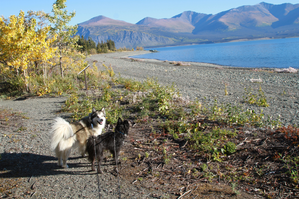
The trail has wonderful variety, and I particularly love this section along the beach.
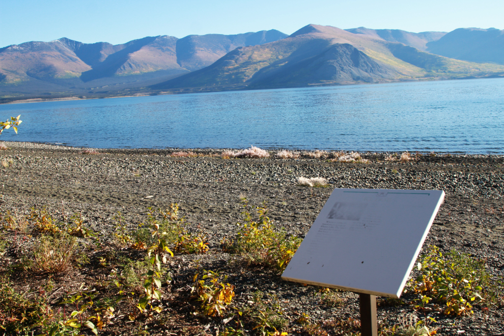
While the trail is very nicely maintained, the interpretive signs are the originals from about 1980, and most are no longer legible.
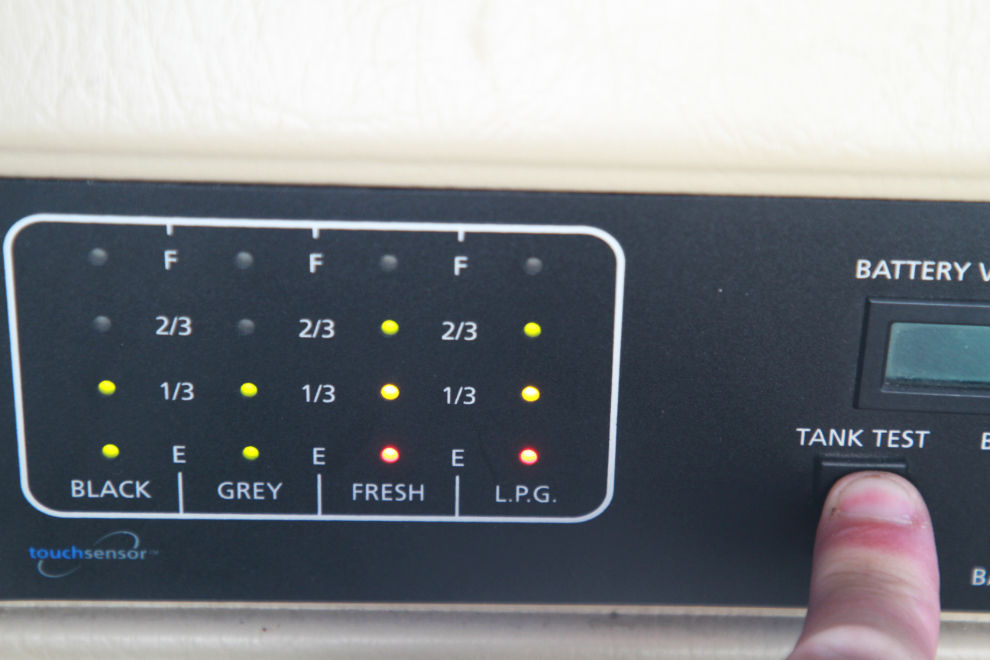
When boondocking and/or camping at campgrounds with no water or power, the state of the many tanks in the RV – fresh water, propane, grey water, and black water – are what determine how long you can stay out. One of the advantages to Class A motorhomes is the large size of all the tanks. This was the morning of Day 6 and this panel on the dash showed that we were in great shape – the 9-10 days we’d hoped for would be no problem.
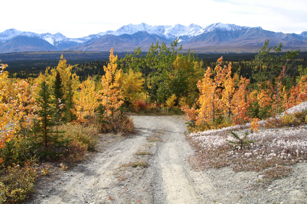
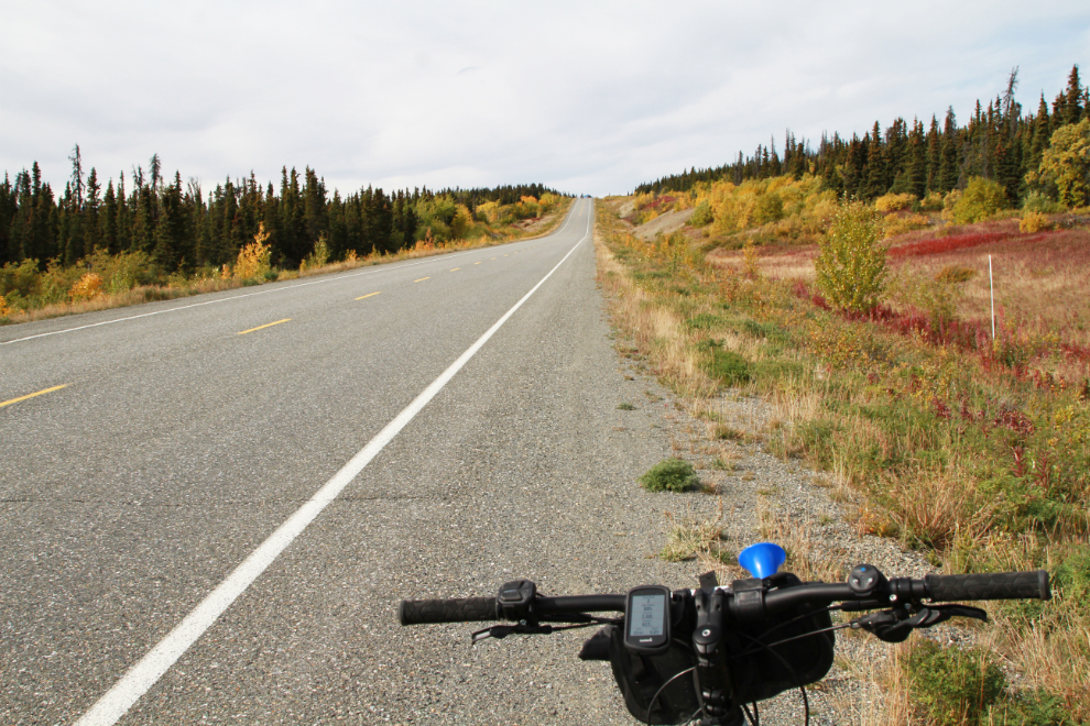
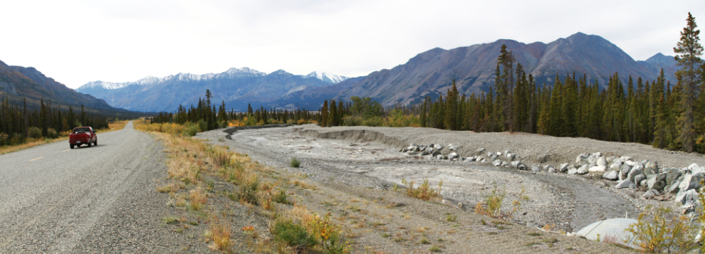
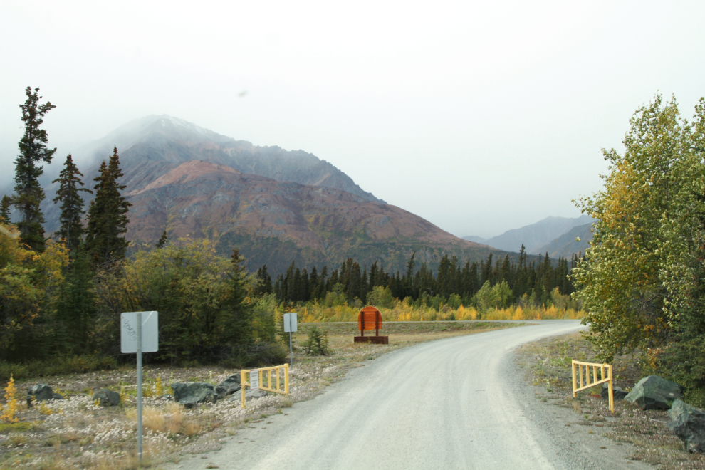
I had a plan for a major e-bike adventure for this afternoon. Last September, Cathy and I drove 6.3 km of a lengthy section of the original (1942) Alaska Highway starting at Boutillier Summit, and I wanted to ride the entire road.
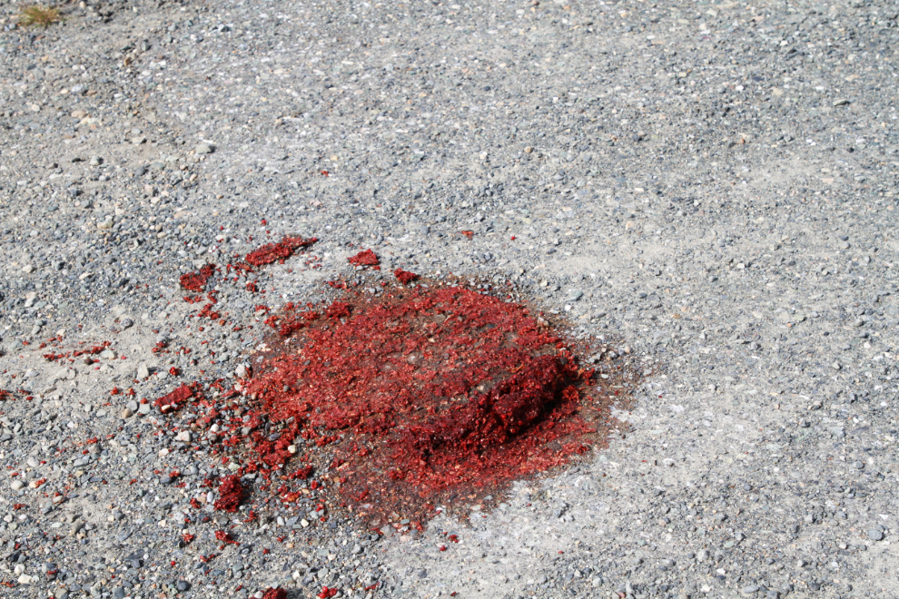
I decided to start from what I had identified as the east end of the road this time, at Km 1621.5 of the modern highway. Cathy would drop me off, and meet me at the west end 2 hours later. When we reached the start of the road, there was a very large pile of berry-laden grizzly bear scat there. Lovely – just what I needed to see as I headed off into the bush. Oh well…
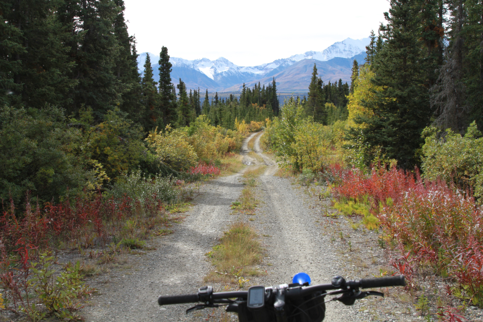
Starting down the road with very high expectations at 2:10.
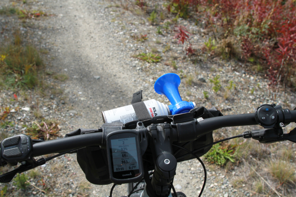
I had doubled up on my bear protection – as well as bear spray, I had a Coast Guard air horn mounted on the handlebars. With it, the odds of needing the spray were very low.
Just 680 meters from the highway. Oh yeah, this was going to be a great afternoon!
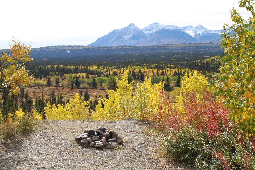
But just 50 meters further, the road ended at this campfire ring! I was incredulous – how could this have happened?
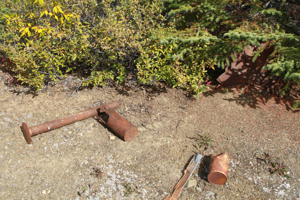
I searched for a road that was just grown over, though I knew that was extremely unlikely to be the answer. There were some artifacts that could date to the highway construction period.
The spot where the road ended appeared to be a large level area created with a great deal of fill – perhaps for a good-sized camp.
I tried a couple of short side roads with no luck, so at 2:30 I was back on the highway, ready to ride the 25 km or so back to the beach where Cathy was going to take the dogs. Not what I’d planned on at all, but it’s a nice drive and traffic was extremely light, so it was okay anyway.
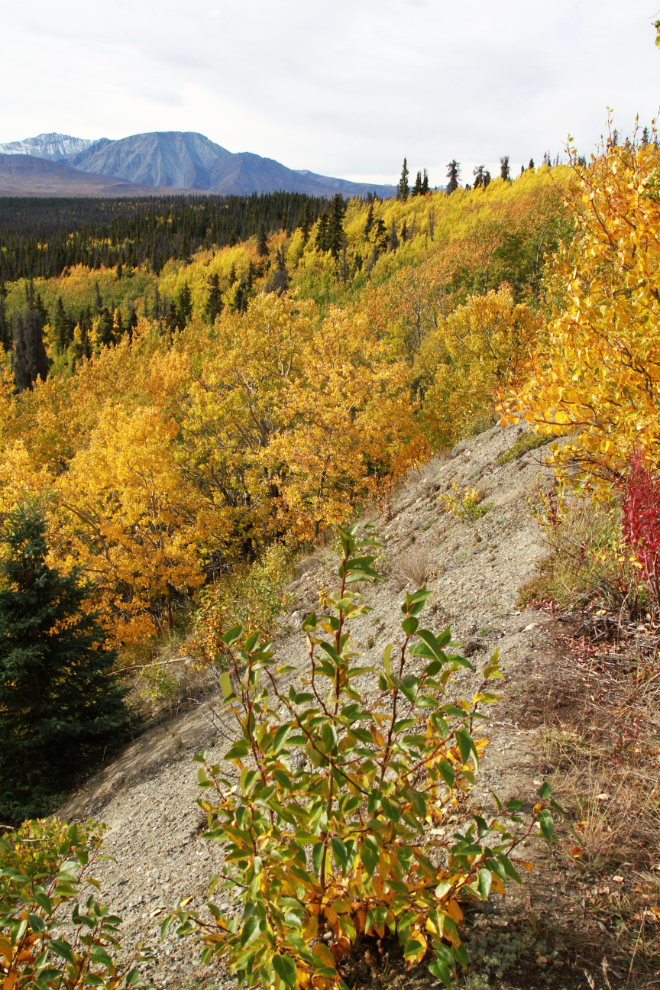
The drop down to Christmas Creek and the subsequent climb to Boutillier Summit were fun. First, it’s very scenic, and I have many photos shot here in all seasons over the years. I hit 61 km/h (38 mph) on the down-slope, which I think is the fastest I’ve gone on the bike, and I climbed the hill with only a level 3 (of 7) power assist, which really pleased me.
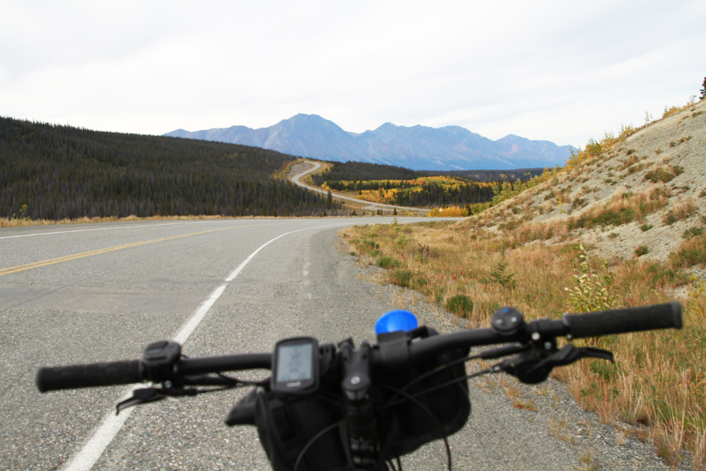
On the drop down to Kluane Lake, I met a couple of people slogging up the hill, barely moving and heavily dressed including bug headnets. I was smoking down the hill, probably doing around 40 km/h, dressed in a tshirt and shorts, and yelled that it was much more fun in this direction. They probably didn’t think I was funny at all 🙂
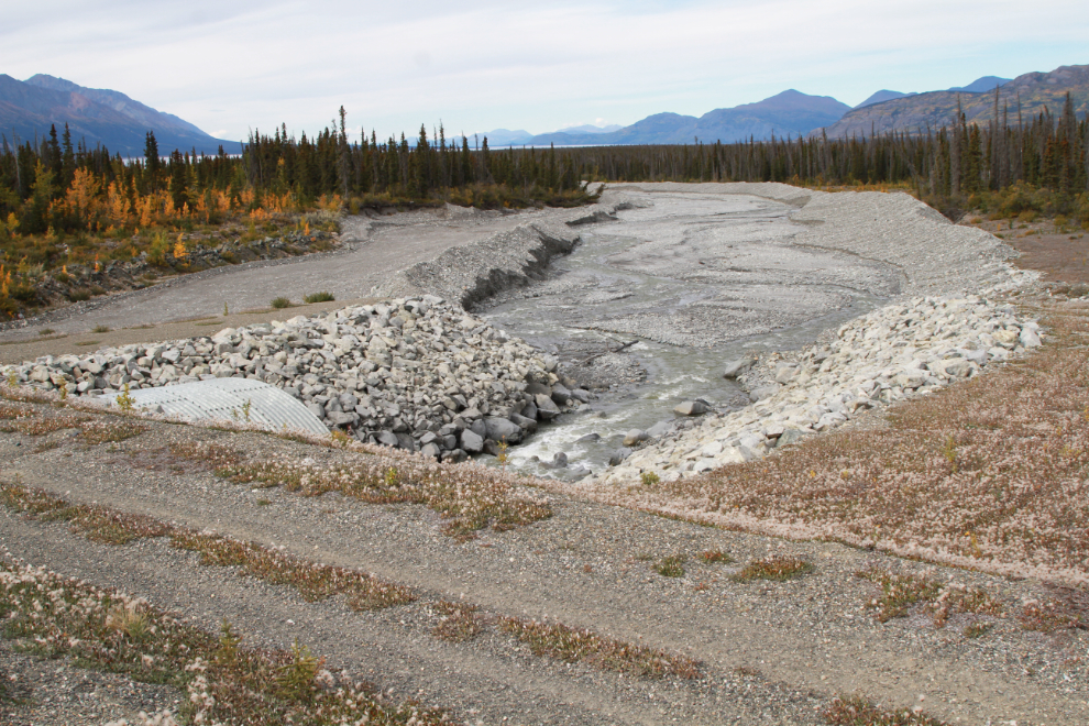
The next photo shows the culvert at Silver Creek at Km 1636.6, at 3:07. I had ridden 15.1 km on the highway in 37 minutes, a respectable time.
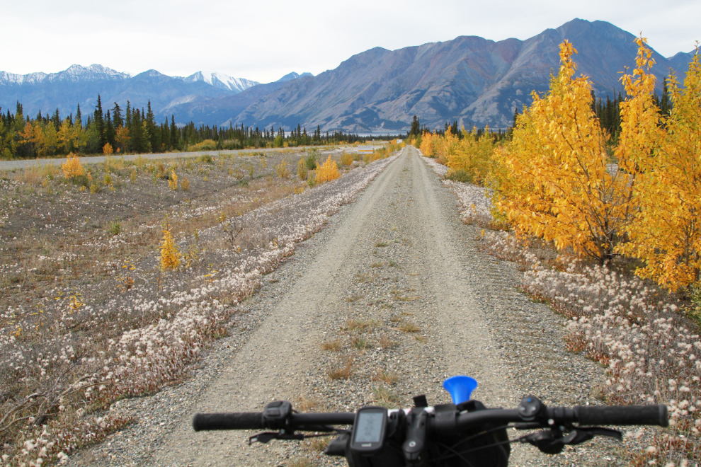
The ATV trail beside the highway in this area looked to be in great shape so I moved over from the highway to it. Yes, this was great.
I don’t think I ever have figured out the name of this creek. It flows from the barren western slopes of Outpost Mountain, though, and Outpost Creek has a nice ring to it 🙂
Cathy was extremely surprised to see me arrive at the beach, of course. She and the dogs were sitting in the Tracker – she said neither Bella nor Tucker wanted to play, and Tucker was quite stressed out at having dropped me off 🙁
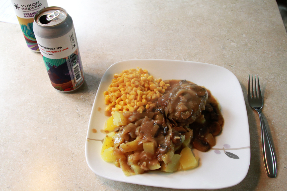
Cathy had done an excellent job of cooking meals that we could freeze, and then just heat up while camping. That worked out great – tonight it was a particularly delicious hamburger steak.
A storm moved in that night, but the skies early on Thursday, September 8, were glorious. The next photo was shot on the beach in front of our campsite as the sun rose at 07:15.
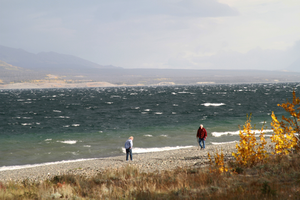
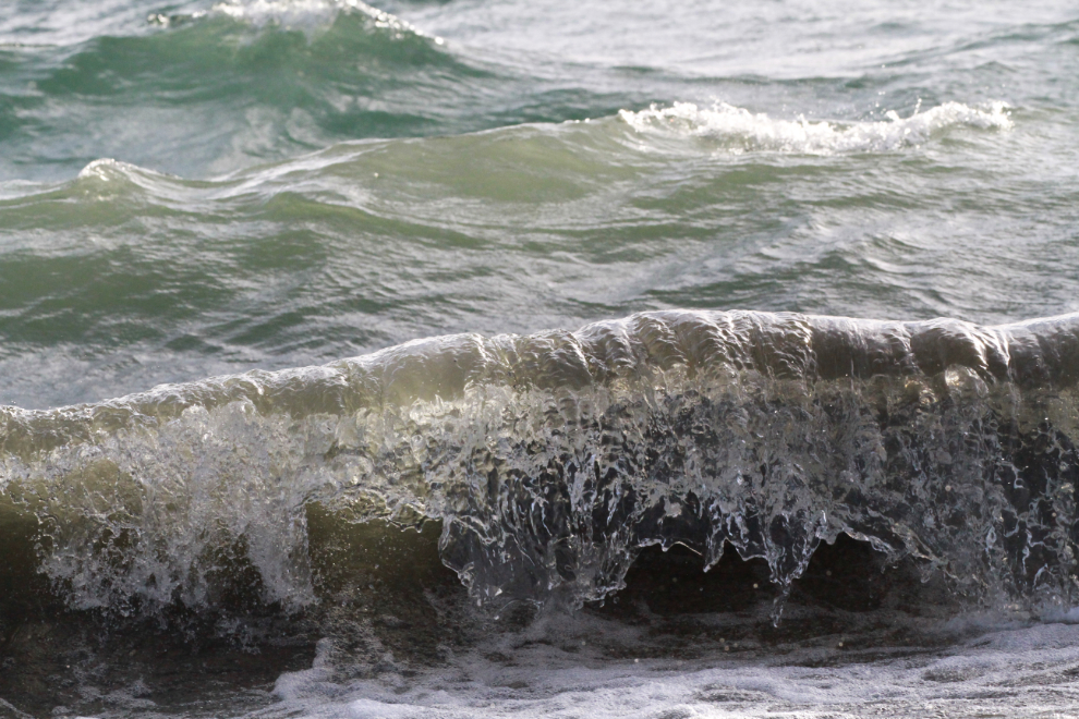
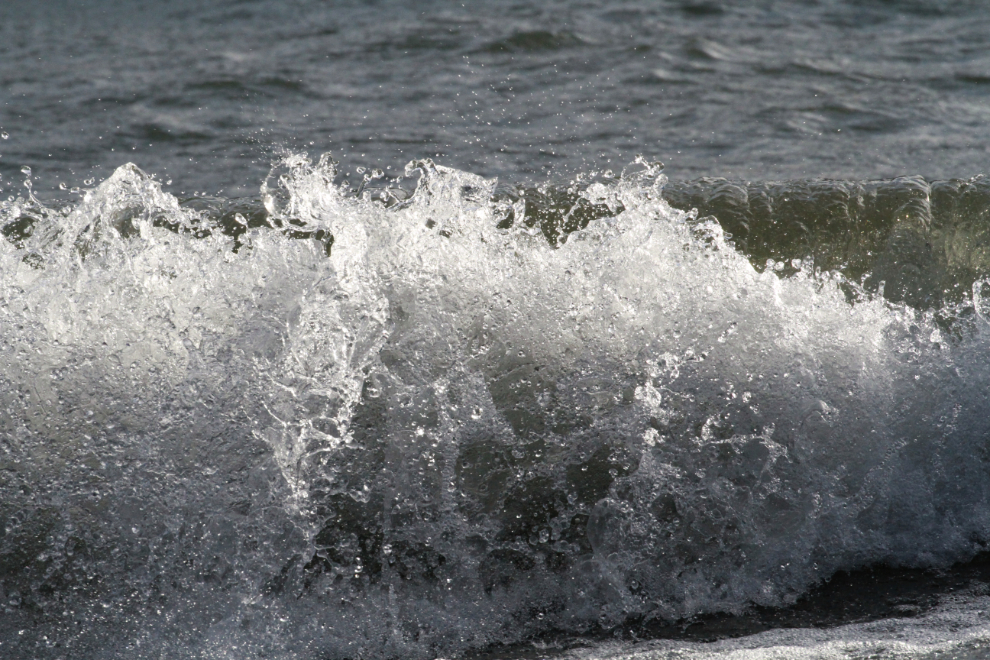
The wind was screaming all day, and I had woken up quite sick, so this was very much a “down” day. I didn’t take another photo until just after 6:00 pm, when great light and surf took me back to the beach. The poor guy in the next photo had lost his keys, and I looked for them for a few minutes, with nobody having any luck.
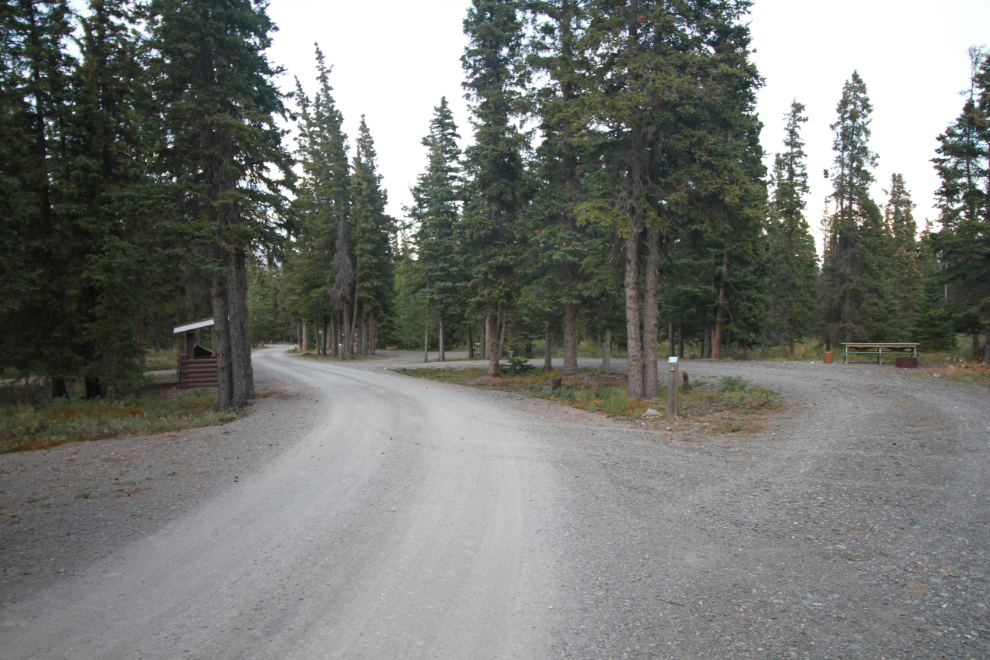
Our dog walk that evening at 8:15 was just the short campground loop, as being out of the forest’s shelter was really unpleasant and even Bella didn’t like it. The next photo was shot at the upper end of the forest loop – we’ve camped up there a few times.
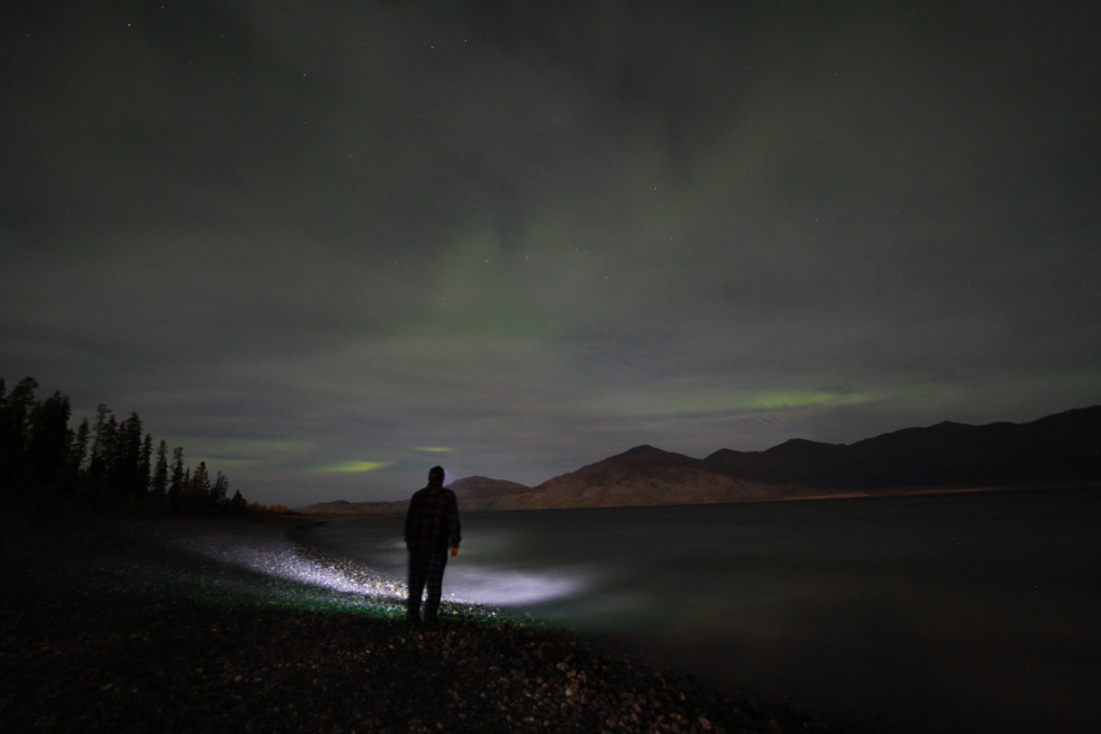
I woke up just before 03:00 on day, Friday, September 9, and the sky looked like an aurora might appear, so I once again got my gear together and went to the beach. Clouds hampered the slight show that did happen, and I only took a couple of photos.
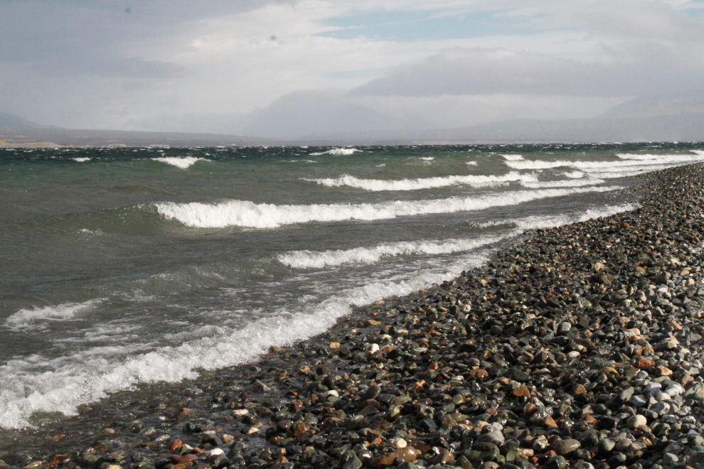
At about 09:00, the winds suddenly quit, and it was dead calm for about 5 minutes. Very strange, like the eye of a hurricane! But then the screaming wind suddenly returned. With good surf still being driven up by the high winds, I decided to try some high-speed wave photos. The next photo was shot at ISO 1600 at 1/1250th of a second, freezing it nicely.
And a couple of shots at ISO 1600 and 1/1600th of a second.
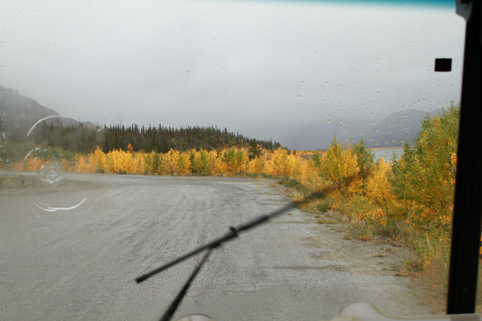
By about noon the weather was getting worse, with rain threatening, so we decided to pack up and head home.
For some reason we decided to drive the motorhome and Tracker to the dog-friendly beach separately. That turned out to be a very poor idea, as rain arrived there and we had to move the bikes and their rack from the Tracker to the motorhome in the rain. It’s a fairly big job, and e-bikes do not like rain. Oh well, we got it done and at 2:30 started the drive home. Despite the weather it had been a wonderful trip, as Kluane always is for us.
As I finish this post, it’s now 03:40. The skies have cleared and the temperature has dropped to 0°C/32°F but I had the hot tub filled yesterday, so as soon as I upload this, that’s where I’m going 🙂
I had to chuckle a little about your finding the road ending at that first e-bike trip. I had done a scouted for walk on a Alaska 45 minutes on foot, an side road off an AK highway thinking another day with a more reliable car would see a nice adventure a few miles more down that road…(when that next day arrived, it too turned out to be only another mile in, ending in a borrow pit, with no view. Your road end – wow, what a spectacular campsite vista that would be! All I could think of re your windy camp days; propane heat, wind and chill blocking walls, a kitchen… what a fine hedge against fall weather. A small canvas tent and woodstove like I use, only good up to a point.