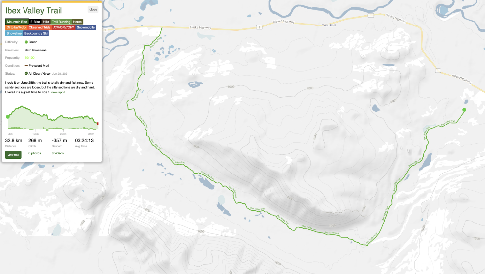
The Ibex Valley Trail by e-bike
My great e-bike ride on the historic Dawson Overland Trail a few days ago inspired me to do an even longer ride, and I decided that Ibex Valley Trail just west of Whitehorse could be perfect. Making a loop by riding back to the car on the Alaska Highway would total somewhere around 54-57 km, by far my longest ride yet.
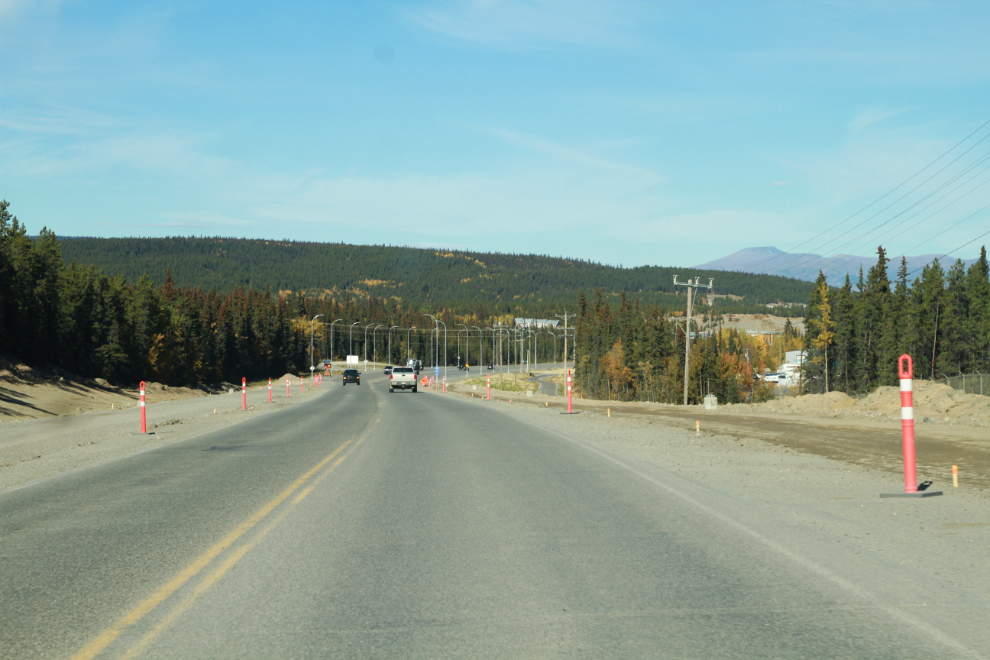
I waited for the world to warm up before heading out on Saturday, September 17th. I had planned to go the day before but the forecast great weather didn’t arrive until late afternoon. I had an hour-long nap at 11:00 and just before 1:00 pm was going through the construction area on the Alaska Highway just east of the airport.
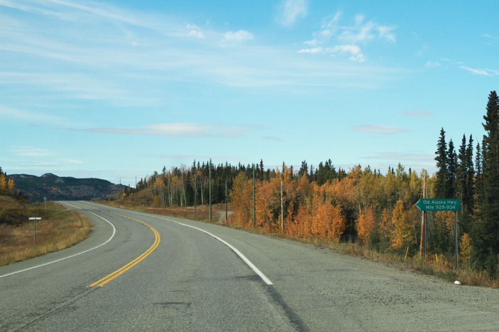
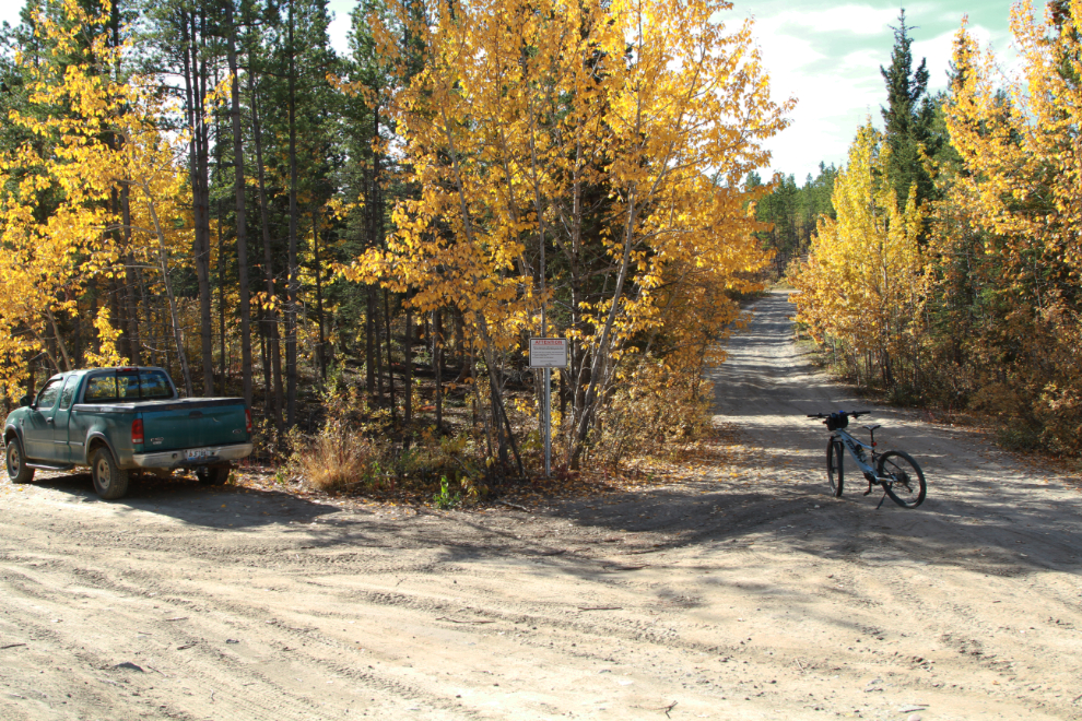
At Km 1443.8 (21 km past the airport) I turned onto the Old Alaska Highway, a 3-mile-long section that is now a multi-acre-properties residential area.
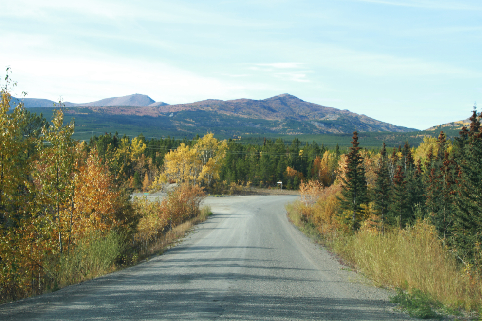
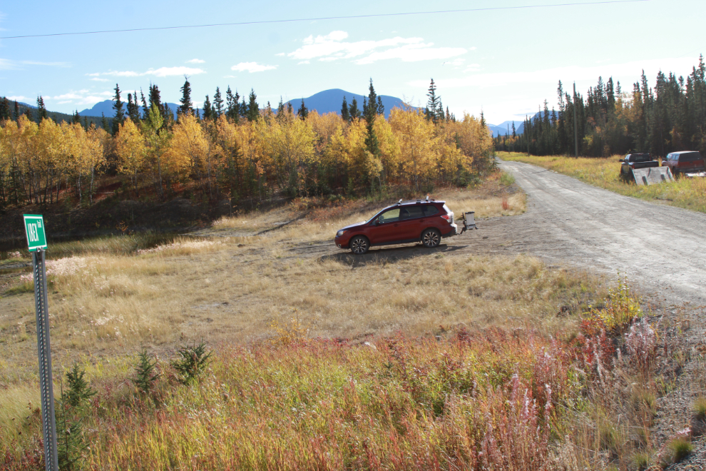
Just ahead on the left (at 1:16) is Scout Lake Road, and an old gravel pit that provides ample parking to unload ATVs or snowmobiles or bikes.
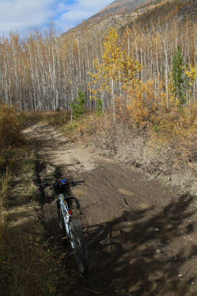
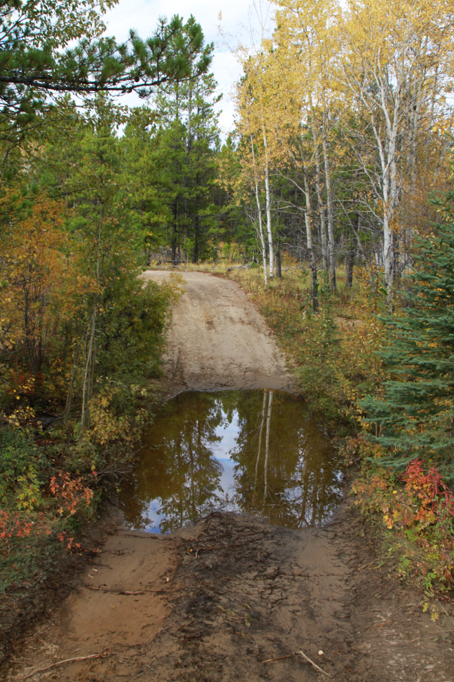
Scout Lake Road isn’t maintained after the first mile or so, and although it was no problem on the bike, people 4x4ing through this Spring’s mud left a heck of a mess and I met an SUV navigating around and through the deep ruts that remain. The first photo I shot was at 1:37, at what I hoped was the junction of the Scout Lake Road and the Ibex Valley Trail, but there are no signs, so it was very much a guess. The basic and incomplete maps on my Garmin bike computer were no help at all and there’s no cell service there so no opportunity to look for better maps. This was 3.74 km from the car.
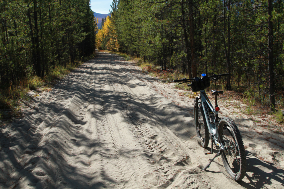
There are only 3 trail reviews at Trailforks, and they warn about mud primarily but also sand. Just before 2:00 I was in a section of sand about 100 meters/yards long that I had to walk the bike through. I certainly hoped this wasn’t any indication of how things were going to go!
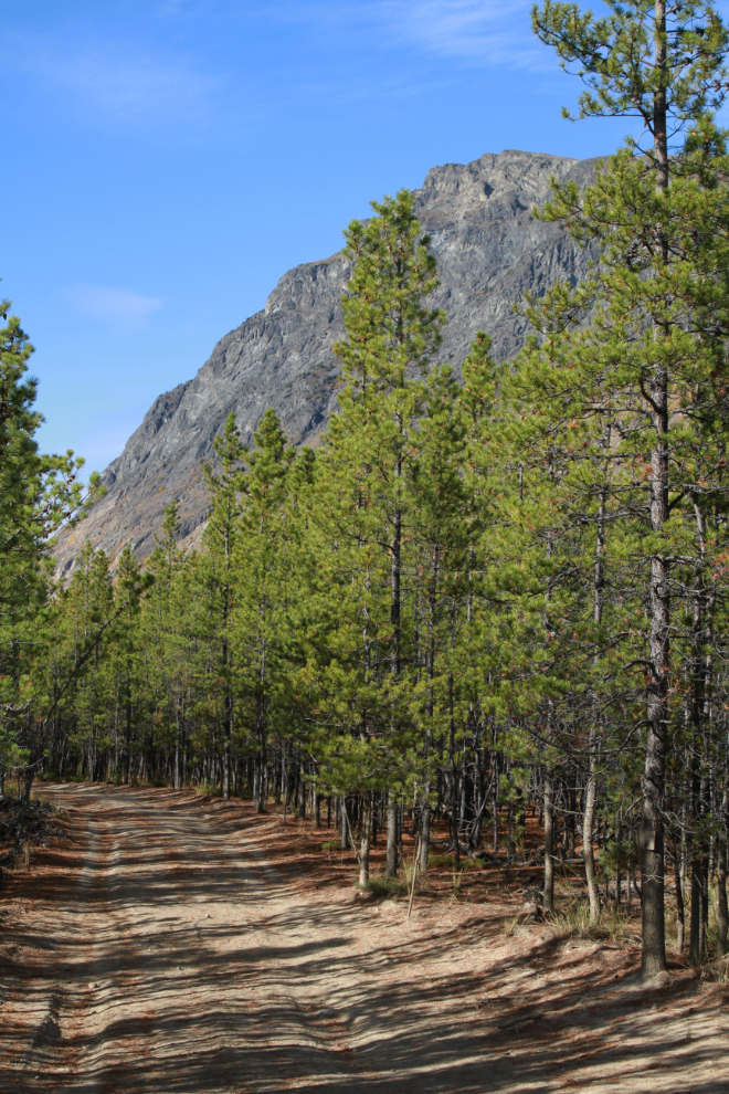
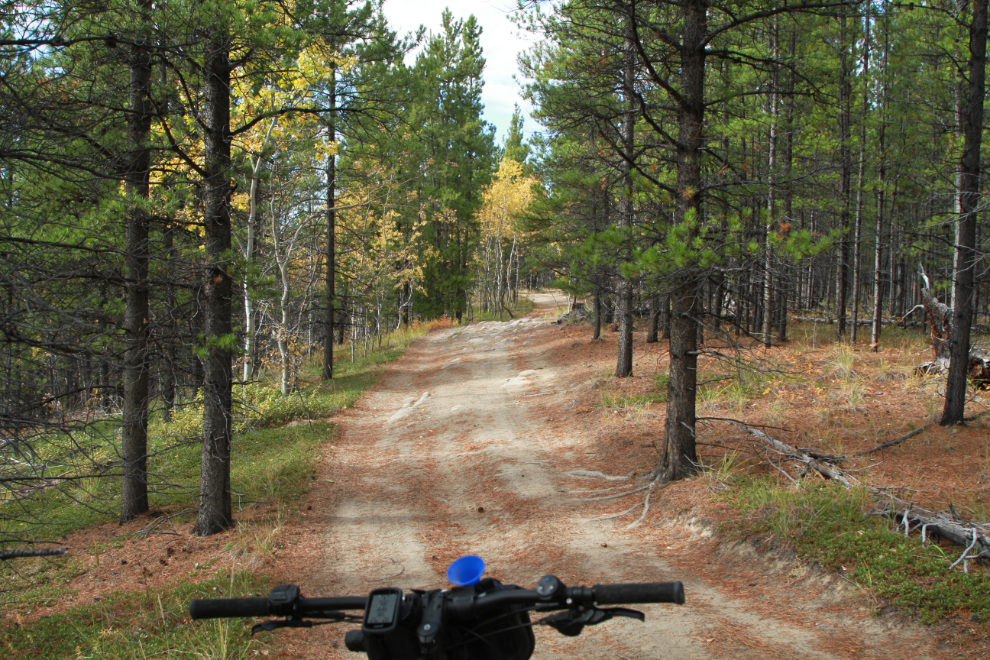
As I got through the sand, my Garmin finally acknowledged that I was indeed on the Ibex Valley Trail. There are a lot of trails off to the sides, but with one exception, the main trail was always obvious. The riding was generally very good, though some rocky sections like this one at 2:05 slowed me down a bit. My hope was to average about 15 km/h, which would get me back to the highway in about 2 hours.
At 2:08 I reached another tough decision, as both routes looked about equal in usage. At the first tough junction, I had taken the much rougher of the two trails because it appeared to be going in the direction I wanted. At this junction I finally decided that it was about time for the trail to head west, so took the right-hand fork.
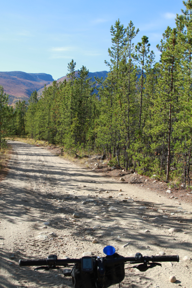
Just a minute later, I felt like I was on the correct trail – it just had the right vibe. Always go with your gut? The mountain ahead was sure impressive!
I hadn’t done any historical research before starting out, but yesterday discovered that this was originally a First Nations route to get into a particularly good hunting area. In 1902 it was surveyed as a highway from Whitehorse to mines at Mush Lake, which is south of Kathleen Lake in what today is Kluane National Park. See “The Mush Creek Road” from The Semi-Weekly Star newspaper of June 25, 1902. That summer, mines were also being developed in the Ibex River valley, and at least one of those mining companies was working on that road for their own interests – see “Ibex River Mining District” from August 9, 1902. By April 1904, Sam McGee and Edwin Gideon had a roadhouse on the trail, as well as their better-known roadhouse at Canyon Creek.
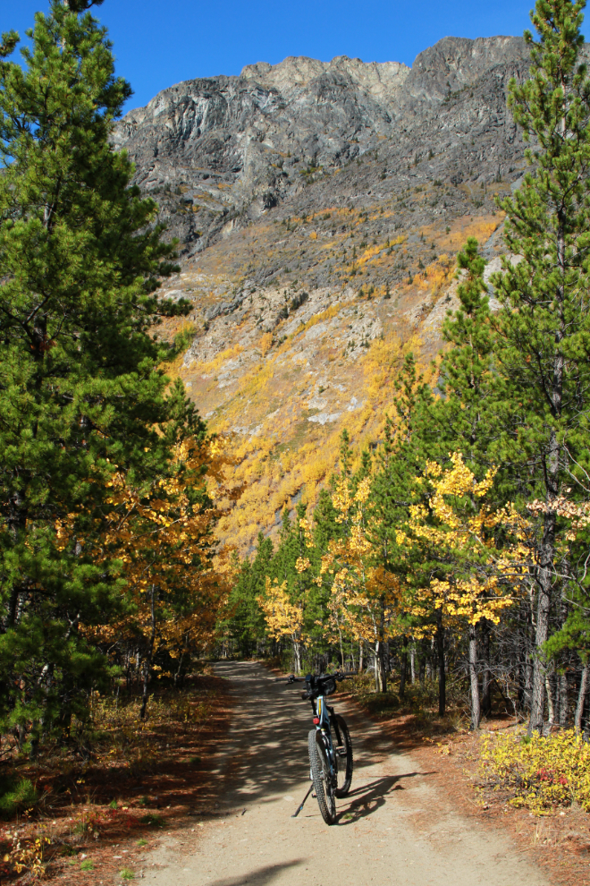
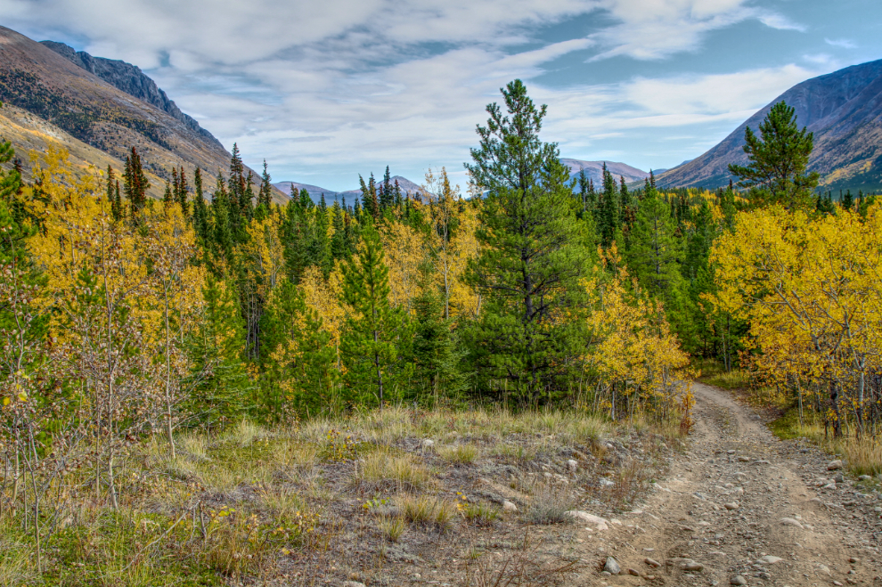
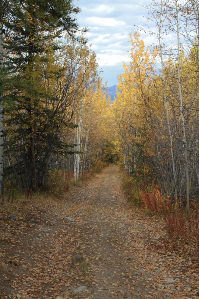
The next photo was shot at 2:13, 12.1 km from the car. The riding here was simply superb, with a smooth trail, spectacular scenery, and great Fall colours.
In “The Spell of the Yukon“, Robert W. Service said:
“There’s a land where the mountains are nameless,
And the rivers all run God knows where…”
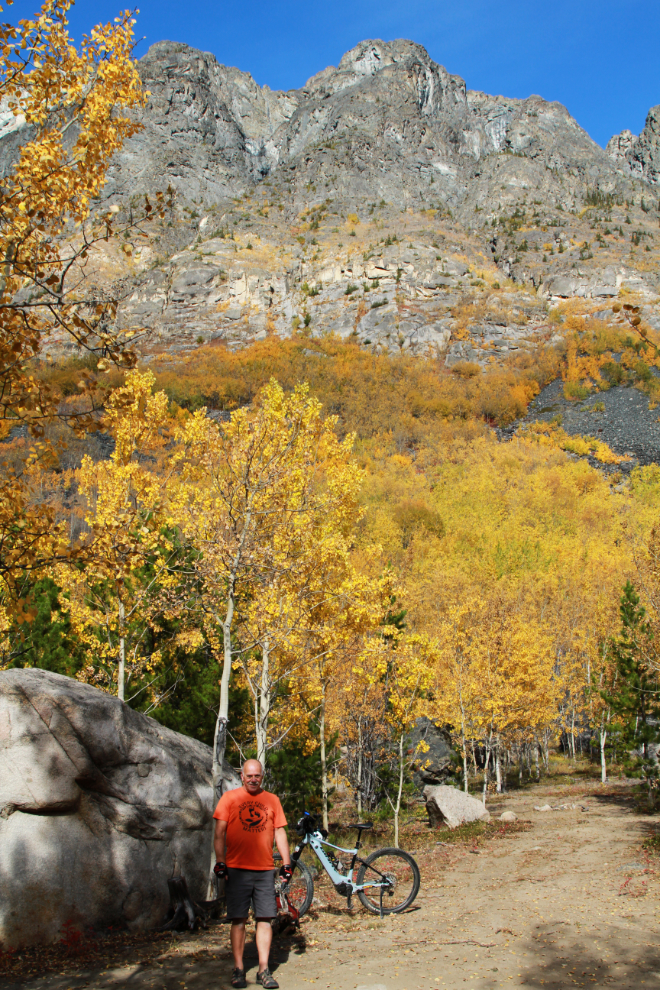
I discovered when I got home that this very impressive and solitary mountain overlooking the trail has no name. Crazy, eh? And God knows where the little Ibex River is wandering from or to! I learned that the folks at Yukon Hiking, though, have named the top of that mountain Ibex Ridge.
The next photo was shot 16.0 km from the car. I was going through an area that was clearly the reason for the warnings about extensive mud, though 99% of it was now dried up. I met the first people of the day here, on 3 ATVs going the opposite direction.
At Km 16.7 I reached the first mud that got my tires dirty. It was now 2:43, so I was an hour and 20 minutes from the car.
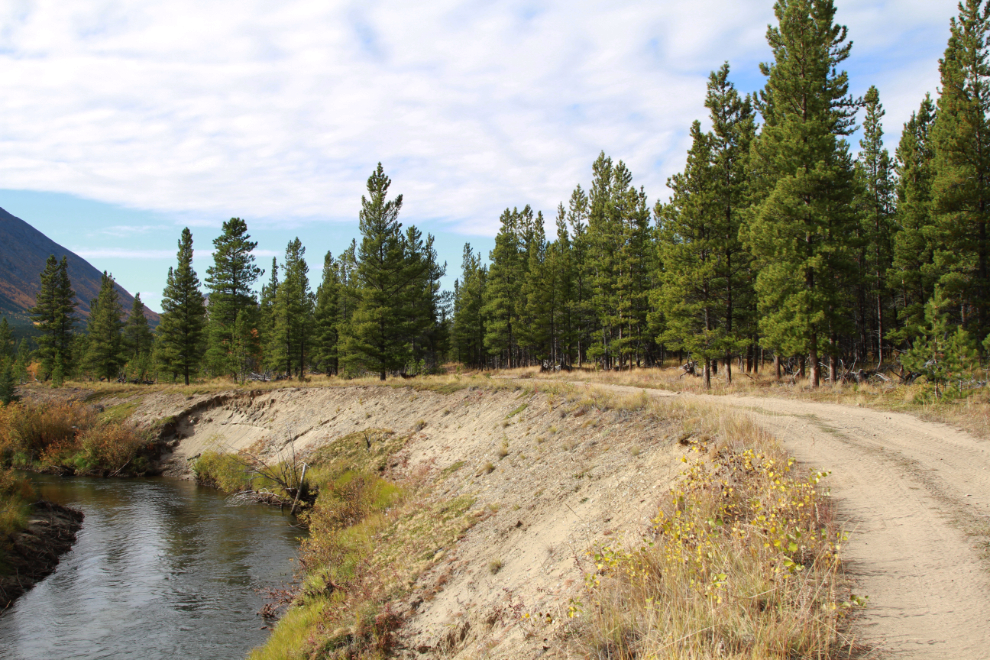
At Km 18.20 I met the Ibex River. It was much smaller than I had expected.
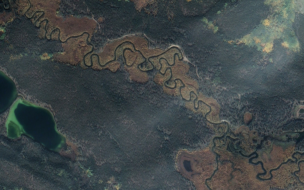
The Ibex River does some extreme meandering through this virtually flat section of its valley, as this image from Google Earth shows. The trail also shows clearly, with the spot I took the photo above near the upper centre.
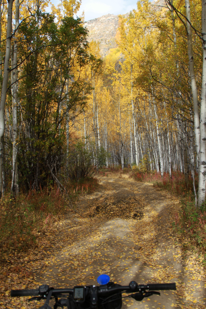
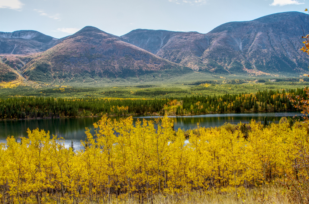
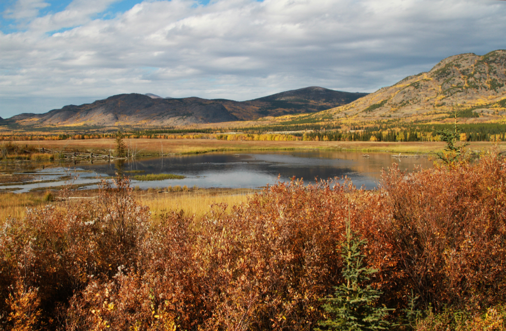
At Km 19.5 I shot photos both looking south, and east towards Whitehorse. It’s very pretty country, but broad views are rare on the trail that runs mostly through poplar/spruce/pine forests. The lake in the first photo below is known locally as Kokanee Lake, though the Yukon Gazetteer says there’s no lake in the Yukon that has that name officially.
The next photo was shot right at Km 20.0 (from the car).
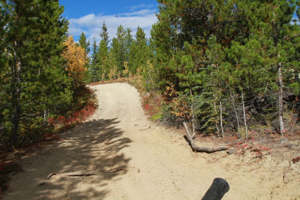
Loose sand at the bottom and a fairly steep grade made the short hill in the next photo a “walker” for me. It was now 3:22.
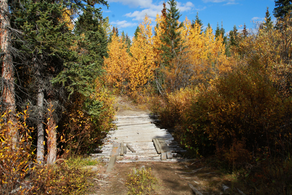
At Km 24.7 I came to this much-repaired bridge. Another trail bypassed it to the left, but I don’t know whether it was another bridge or more likely, just crossed through the tiny creek.
This water crossing at Km 26.4 was easy as the bottom was hard.
All of a sudden in the middle of nowhere there were two women and their dogs on the trail ahead! I wasn’t going very fast, but called out “Coming by.” They grabbed their dogs and jumped off to the sides, and I went slowly by between them. I felt really bad about startling them and made some comment about it being a beautiful day to be out here, which they agreed with.
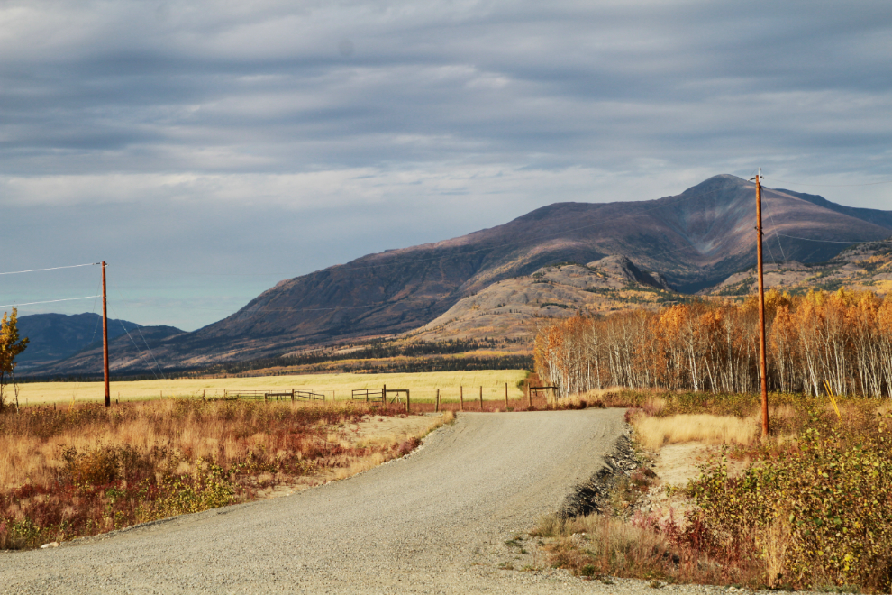
At 3:35, Km 30.3 from the car, I was on a steady decline, obviously dropping down into the Takhini River Valley where I’d meet the highway.
Five minutes later I came to a gravel road – I had completed the trail. I had expected to come out on the Alaska Highway, but this turned out to be the access to a fairly busy gravel pit.
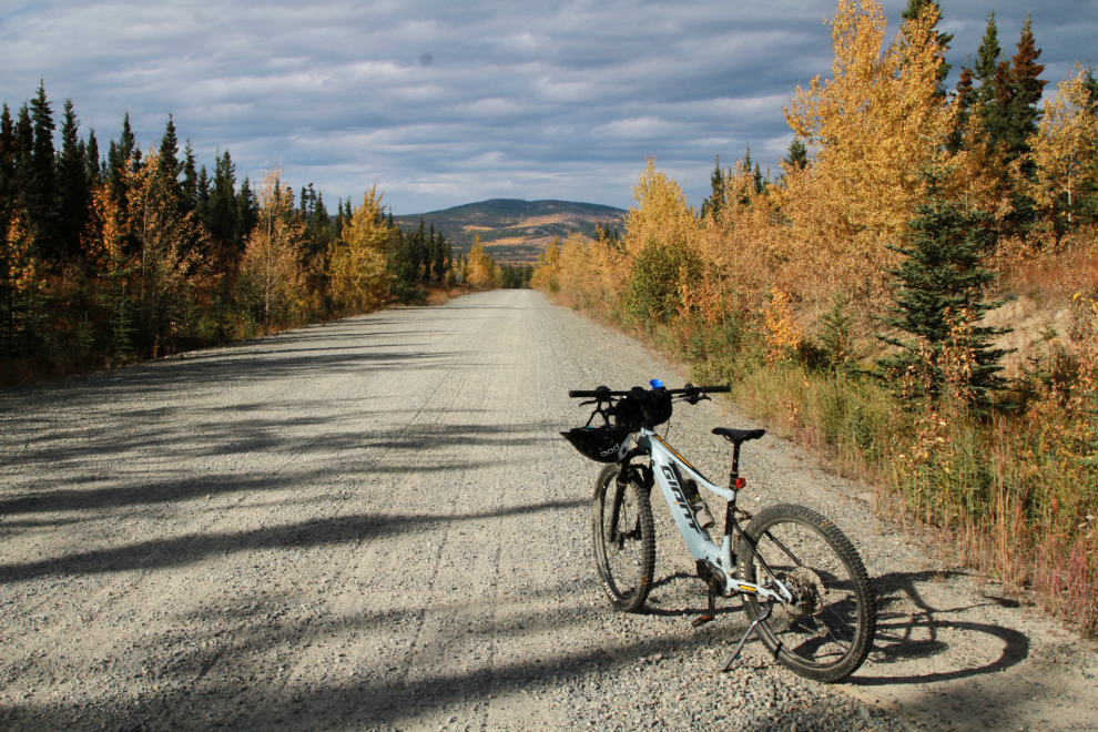
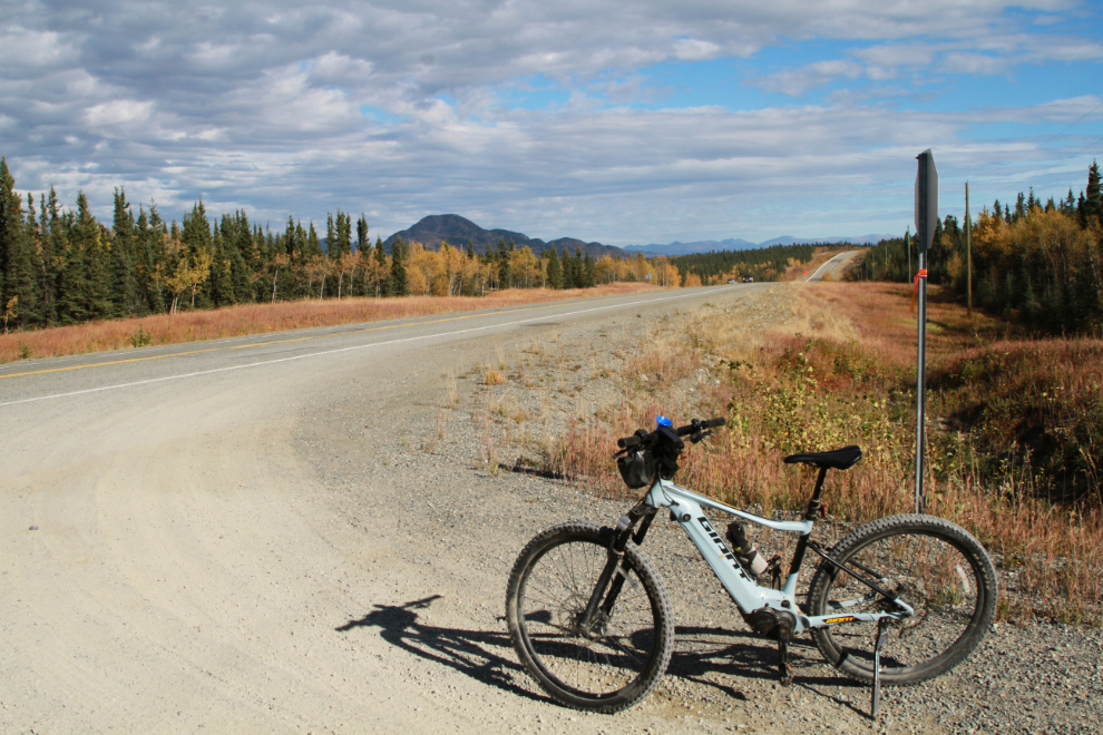
The Alaska Highway. I had only the vaguest idea where I was – about 20-25 km west of my car, though.
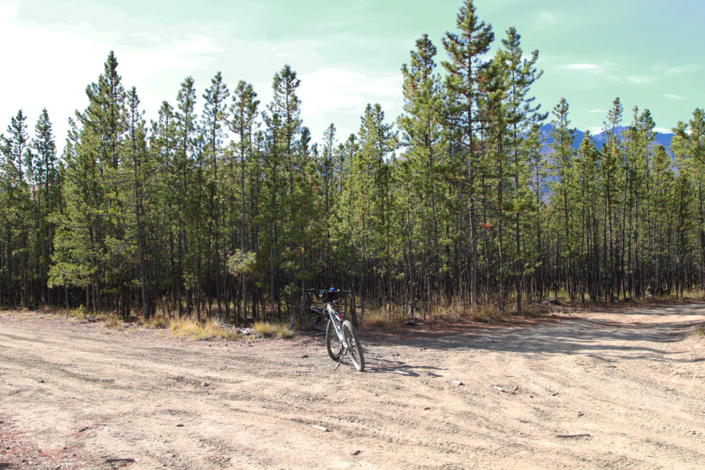
A few minutes before reaching the gravel road I had come to another trail junction. I had taken the trail to the left, which I’m quite certain is the historic trail, but I soon discovered that the trail ahead comes out at the road named Ibex Trail, seen in the next photo. This is apparently where the ATVs and walkers I met started from.
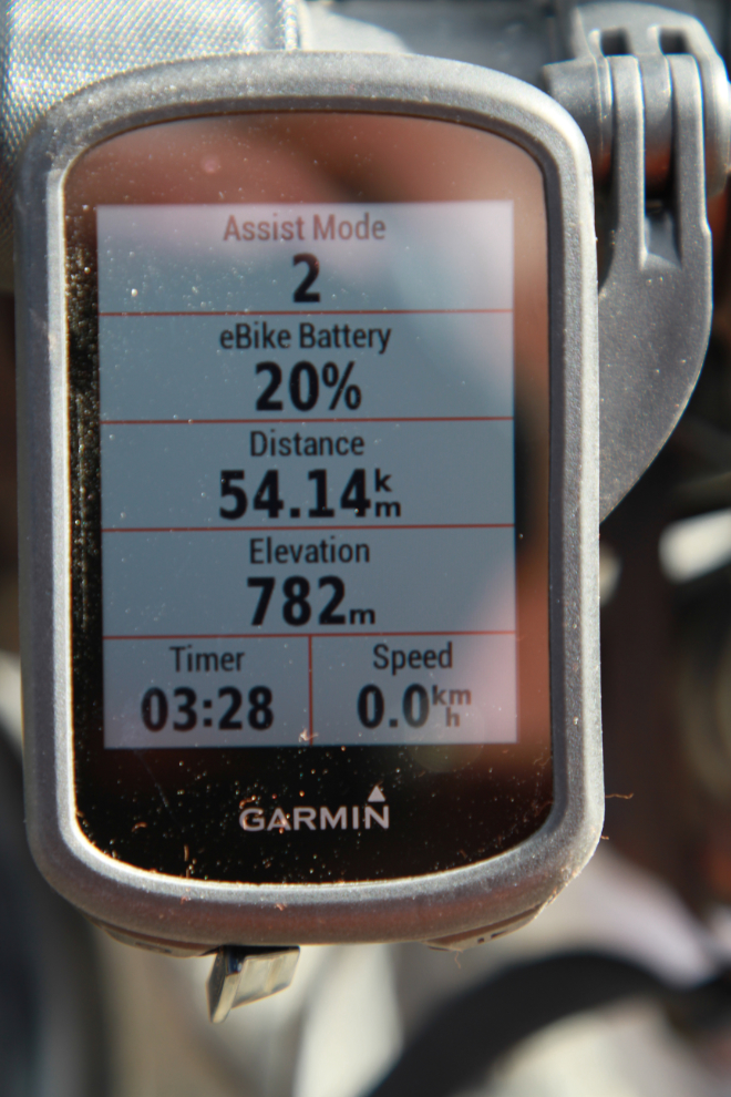
I had 55% battery left when I reached the highway, but that dropped quite quickly as hills, fatigue, and a slight headwind combined to get me to increase the power assist I was using.
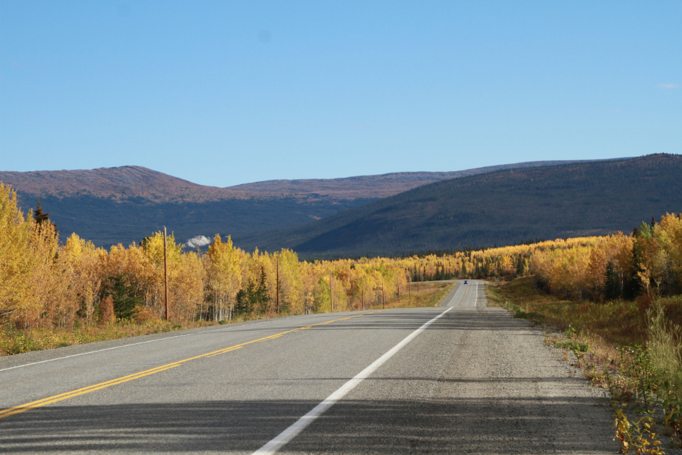
I made a few stops along the Alaska Highway for photos at particularly scenic spots in this small farming area.
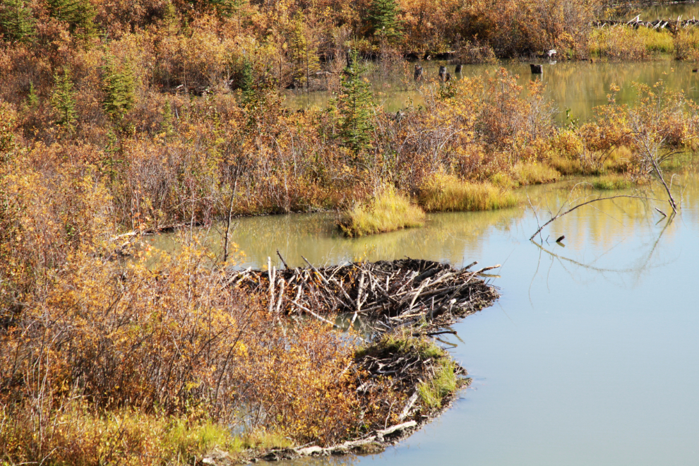
This beaver dam has been particularly nicely designed 🙂
I had expected to reach something over 50 km on this ride, and at 4:50 reached the 50.0 km point. I had a few kilometers to go yet.
The end, at exactly 5:00 pm. Although my bike computer read 54.14 km, both my GPS-driven trip logs says it was 56.0 km – see the Trailforks log. The day was definitely a success, and I was soon home and in bed for another hour-long nap before dinner.
There are many questions in my life these days. Today, neither Cathy nor I are able to figure out how I can do things like this outing. I know for sure I wouldn’t be able to do it if anyone was with me – my brain can’t have anything to process except the trail right in front of me. Even road noise in a vehicle exhausts me now. Beyond the “how?” is the “why?” – perhaps as my world gets more and more confusing, overwhelming, and scary, I need to do things which are all three, and that ride was. I suppose it doesn’t really matter how, though – I had fun and am extremely pleased that I was able to do it. I hope you’ve enjoyed seeing some country that very few people see.
Hopefully we have another 6 weeks of good riding before the permanent snow arrives around the end of October. I have no plans but will certainly be out for more hikes and bikes and drives.
Great post it’s very impressive what you do on your ebike!
Thanks for that great trail description Murray! I’ve ridden the Ibex Valley several times and still find the route finding challenging. Way too many roads and trails in there for me to remember all the correct turns. 100% worthwhile though.
Beautiful pictures and summary. I’m headed out there this weekend and hoping to link up with the Dawson overland trail to make a loop. Glad to know there’s not *too* much mud.
Thanks for all the information you’ve provided me over the years
Thanks, Steven. There’s no way to make a loop with the Dawson Overland Trail, though – they’re on opposite sides of the Takhini River, to start.
Always so pleasant to read your report with those wonderful pics. Glad you are making these bike outings! and sharing them with the outdoor public!
Made it to Salmon Glacier last August with perfect blue skies, what a beautiful place (even with plenty of mosquitoes). Then up to the Cottonwood River north of Dease Lake to have fun with the arctic graylings. Finally back to the Skeena to fish for cohos. A great overall 4700km trip.
Thanks very much, Joel. The e-bike has been an incredible investment in helping me get out, and I so appreciate that I’m still able to share these adventures.
You hit some great spots on that trip. It’s quite surreal to me now that I used to ride back and forth past the Salmon Glacier in a bus every day 47 years ago. It is such a powerful place.
Murray
Yes Murray, the Coast Mountains are so beautiful on a clear day, so we spent two nights north of the view point with a hike on the old access road below the view point. Would you have any history on that original road? It would have been pretty scary to drive on it, abyss on one side and rocks falling on you from the other! Will send you a couple of picks on your email…
Thanks for sending the photos, Joel. The road you walked on was the road we drove on in 1975 – because of avalanches it was re-routed to the current higher elevation about 1978-79.