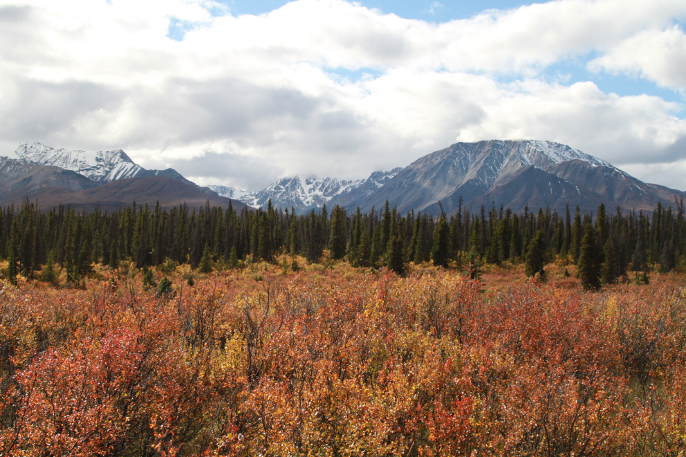
Driving a lengthy section of the original (1942) Alaska Highway
For the past 31 years, I’ve wondered what was down a road that leaves the Alaska Highway at Km 1633.7, just west of Boutillier Summit. On September 7th we drove 6.3 km of it, and I know enough about it now to plan a further exploration, probably on the e-bike. The road is about 15 km long in total.
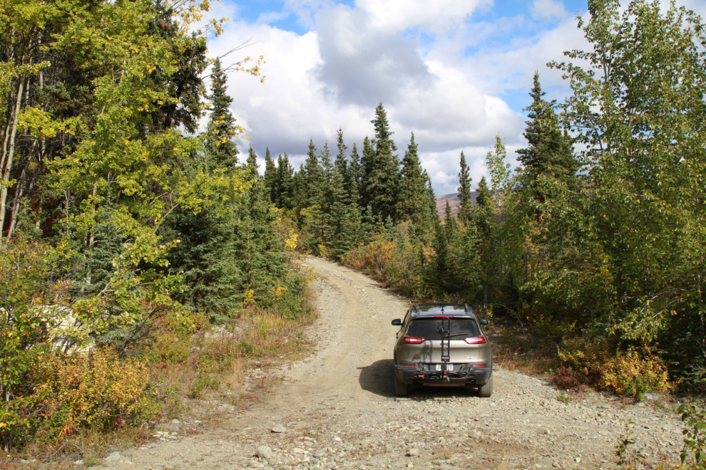
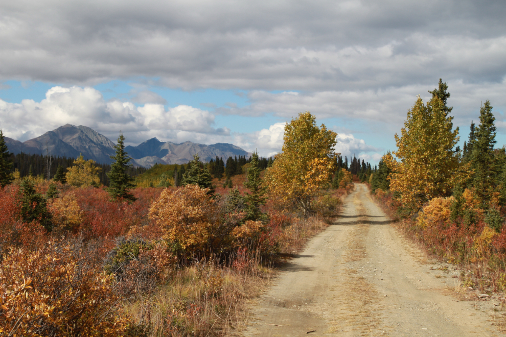
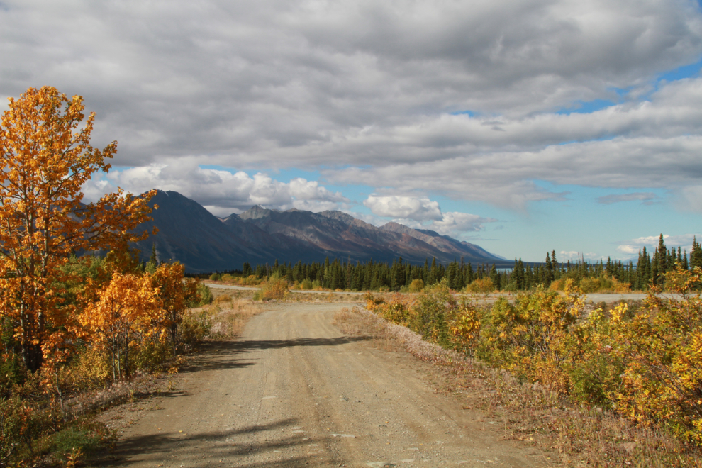
We left the highway in the Jeep just before 1:30, and because of the direction of the sun, all the photos except the first 2 were shot on the return to the highway.
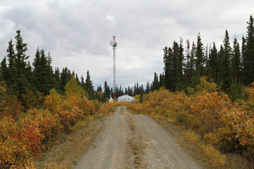
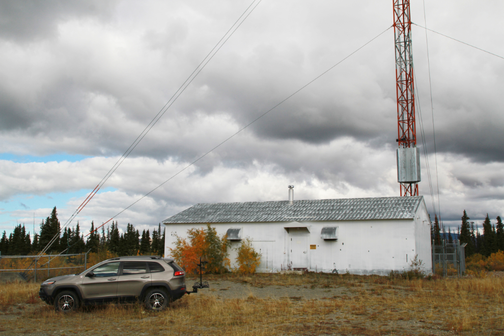
At Km 2.1 from the highway the road splits – the one to the left goes to the communications facility and tower seen in the next 2 photos.
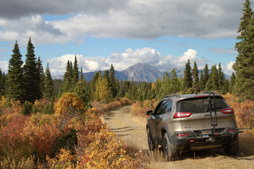
Now we’ll go to the furthest point we reached, 6.3 km from the highway – I’ll call this Km 6.3 and tie the other photos to it. The next photo shows the road as it continues past that point.
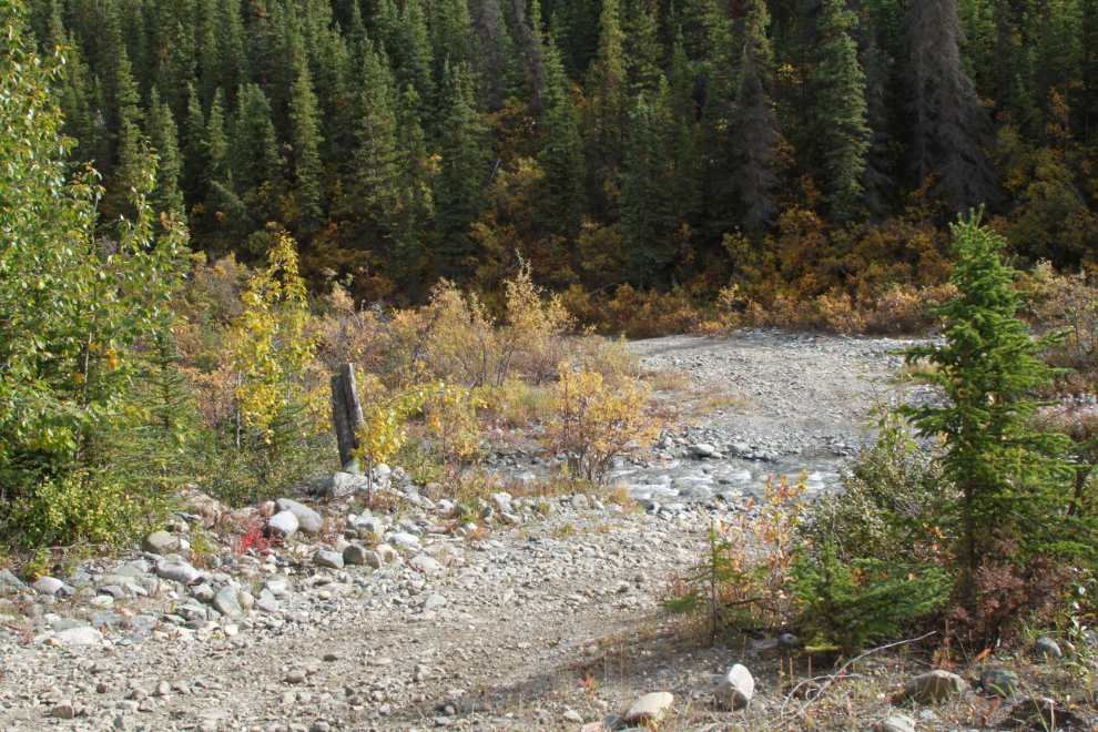
While the old Alaska Highway turns left here to cross Boutillier Creek, another, smaller, road goes straight ahead – I know nothing about it yet, but satellite photos show that it goes many miles off into the wilderness along Boutillier Creek.
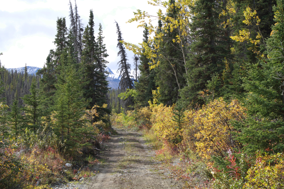
In the next photo, we are heading back towards the highway from that junction at Km 6.3.
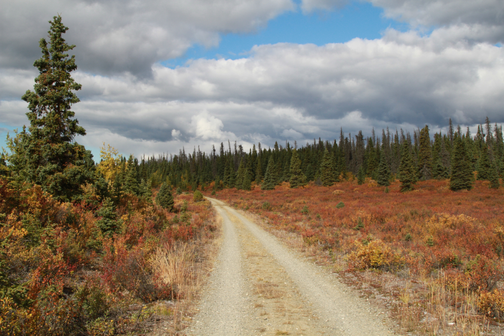
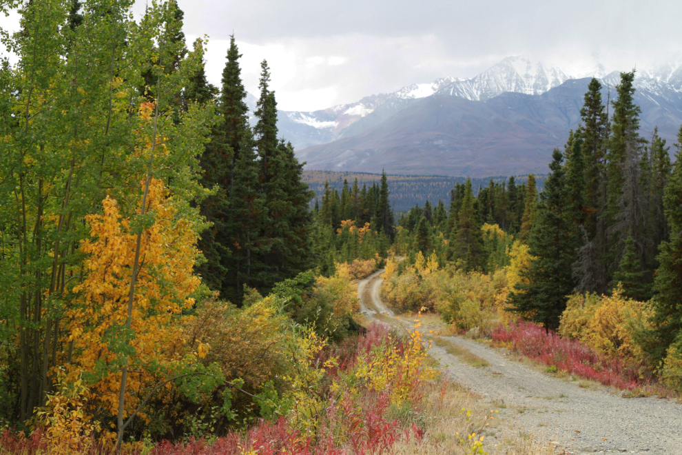
Km 5.3.
The only hill of note is at Km 4.5.
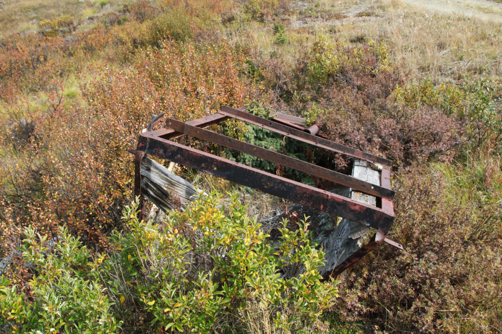
At Km 4.4 is what appears to be part of a very old truck box – not military, but home-built and very early.
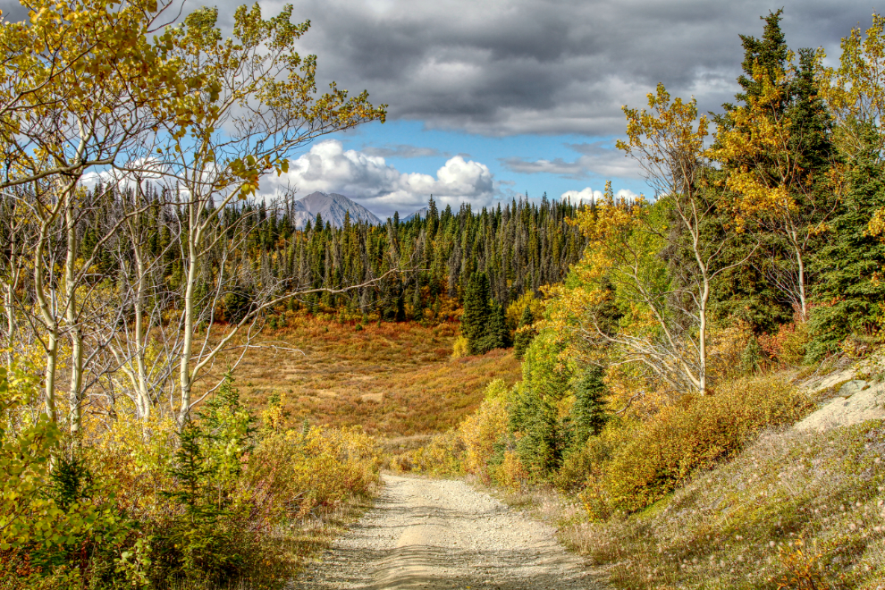
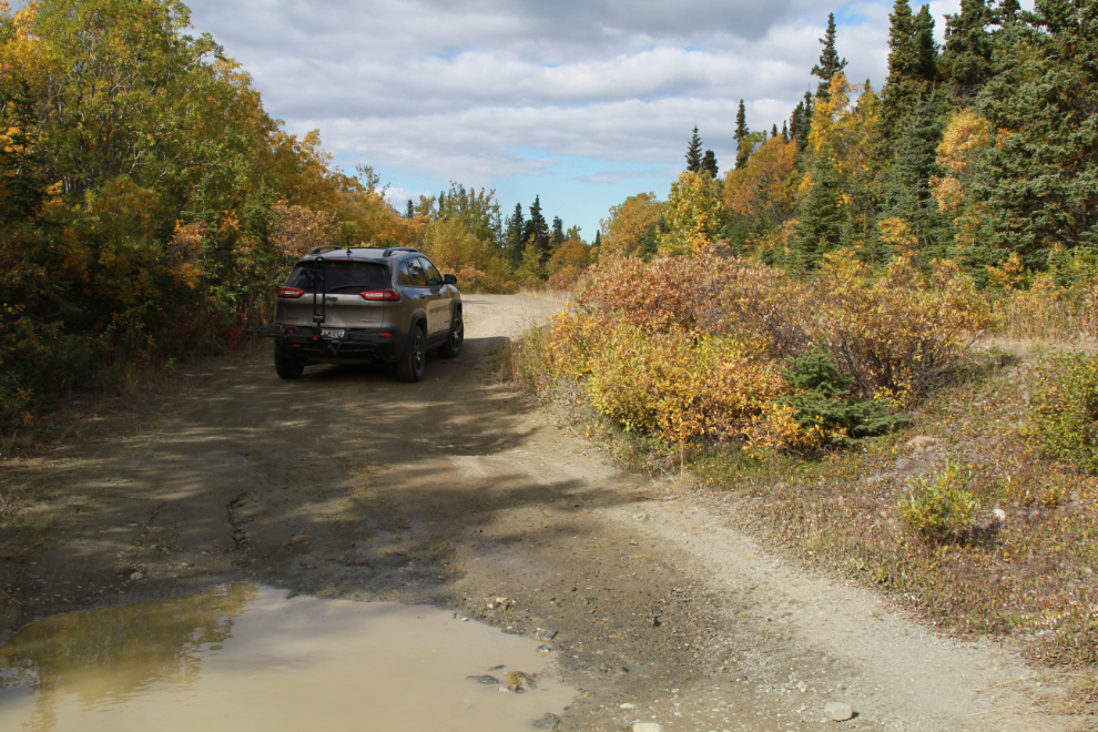
The next 2 photos were shot at Km 3.8. This is a dream road for the e-bikes.
Km 2.5.
The junction with the communications facility road, at Km 2.1.
Back at the modern Alaska Highway, with Kluane Lake visible in the distance.
I needed to know where the road came back out onto the modern Alaska Highway, and it was easy to locate. This is at Km 1621.5 of the modern highway.
One of my favorite car camps ever came a easy mile or so down a side road like this to the AK highway in my borrowed old Subaru wagon… a great view of the south side of Denali… a turn out used dozens of times by others (gauging by the size of the firepit). Enough rustling in the brush as it got dark, decided an unmanly (and uncomfortable) abandonment of the tent to wrestle some sleep in the back of the wagon.
Haha – I remember some of those changes in plans caused by noise in the bushes!
I went back to this post a few days after reading it as it struck a particular interest for me, the old AK highway and the road to nowhere.
I had spent a just finished week in NY ‘s Adirondack Park, easy walking some old woods roads that have little to no usage these days other than folks like me and maybe some snowmobilers who have lost the main trails during the winter. But interesting and compelling all the same. Ebikes really are a cool way to explore though I still have the ADV Bike itch.
Sometimes these old roads are disappointing, but not often. With Winter knocking on my door already, I may have run out of time to explore this one properly, though 🙂