Some e-biking near the head of Kluane Lake
While we didn’t use the e-bikes as much as we’d planned to during our 9 days at Kluane Lake for a variety of reasons, we still had some excellent rides, so I thought a separate post for all of them would be appropriate.
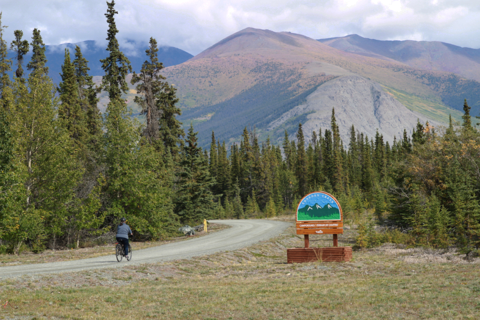
On our first full day at the lake, I was going to make a long ride from Congdon Creek Campground o Sheep Mountain and back. A strong headwind changed that plan, though, and I had Cathy drop me off at our favourite dog-beach, at the large pullout at Km 1642.1 of the Alaska Highway. We played with Bella and Tucker there a while, then just after 1:30 I left on the bike and Cathy headed back to the campground.
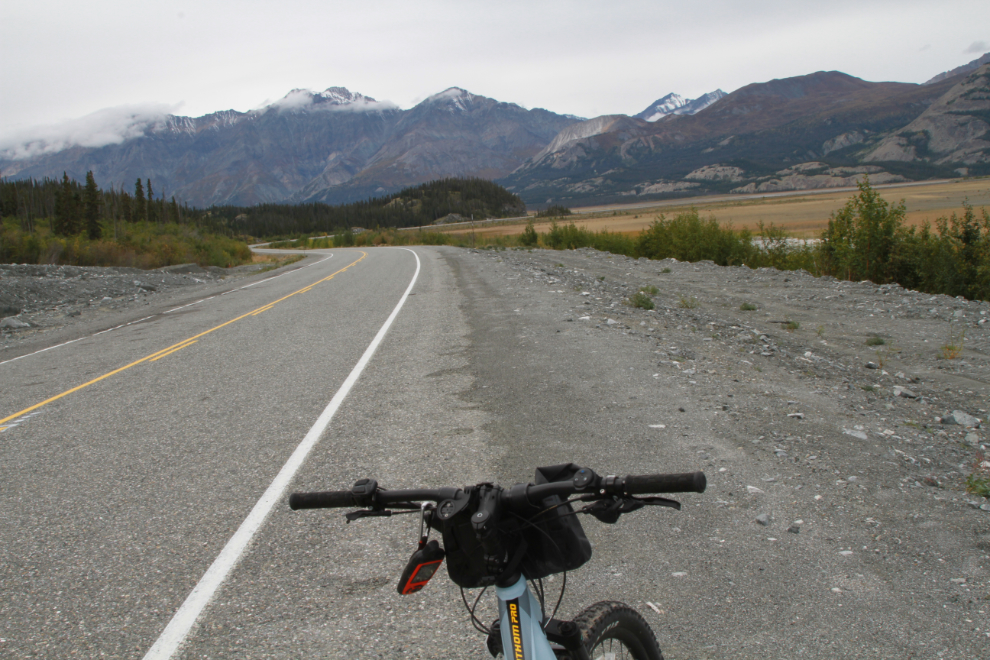
Traffic was extremely light, making for even better riding than on a normal summer day (whatever “normal” means now).
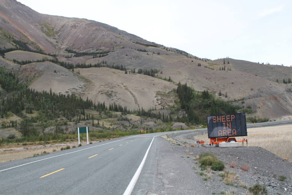
There were about 80 sheep visible on Sheep Mountain, though they were very high and were just white dots without binoculars.
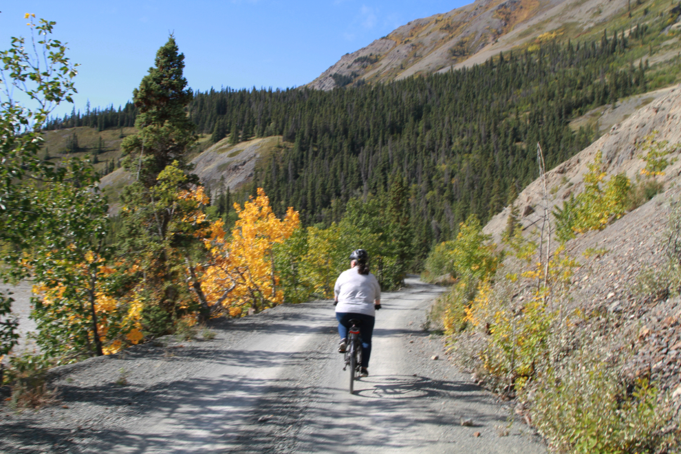
II decided to give the Soldier’s Summit Trail a try on the way by – that turned out to be an excellent idea. Near the bottom I met a couple of people and one asked if I thought I could get to the top. “Absolutely!” was the reply. Cocky old fart that I am 🙂
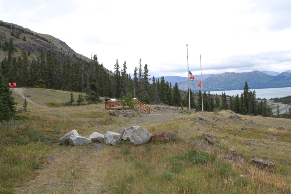
The interpretive area where the Alaska Highway was opened on November 20, 1942, is the destination for most people, but the best part of the trail (which is the 1942 road) is ahead.
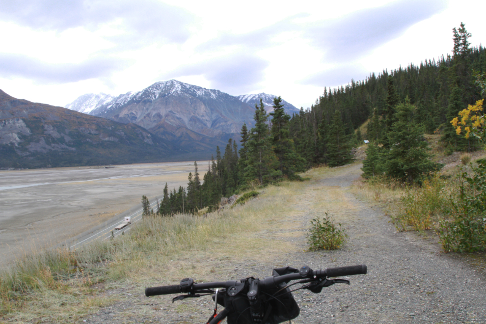
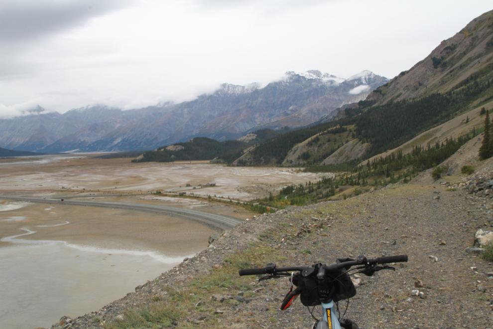
This is as far as I went, overlooking the Slims River and the Parks Canada interpretive centre. While the old road continues down into the valley, a slide a few hundred meters ahead is too treacherous to cross.
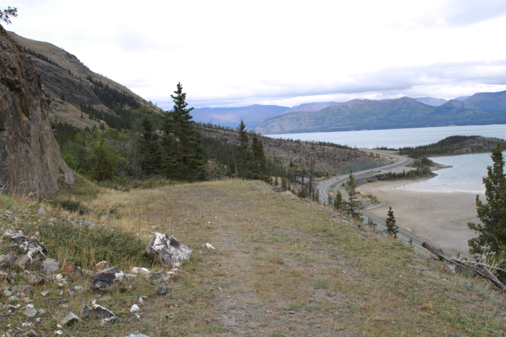
Starting back down the old highway, with the modern highway visible below.
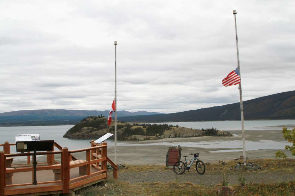
Back at the interpretive area.
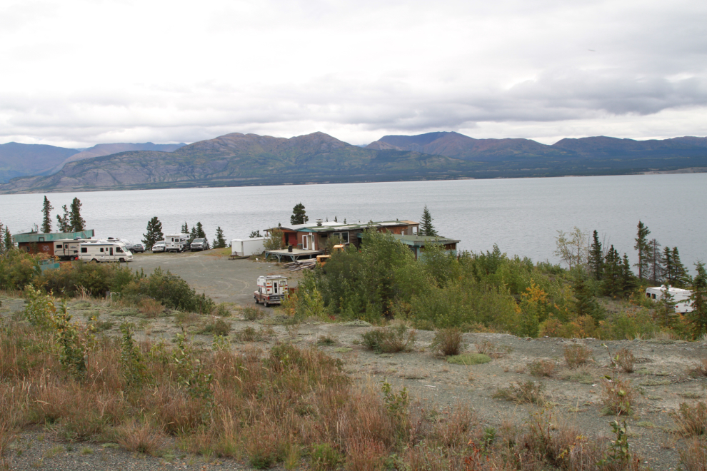
The former Bayshore Lodge at Historic Mile 1064 is a busy place, though I don’t yet know why.
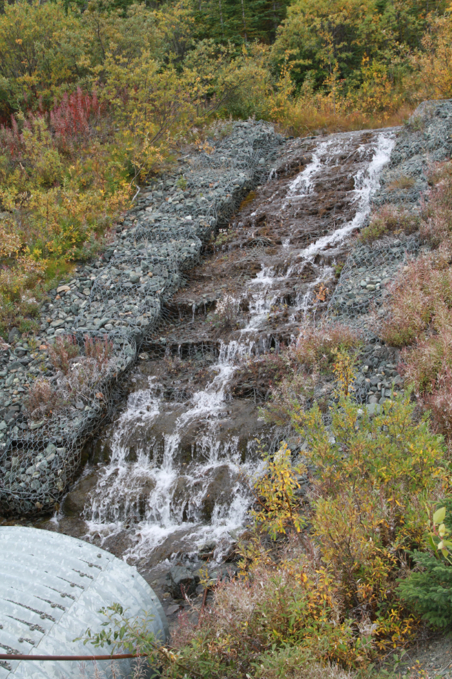
A man-made waterfall up the Alaska Highway a bit.
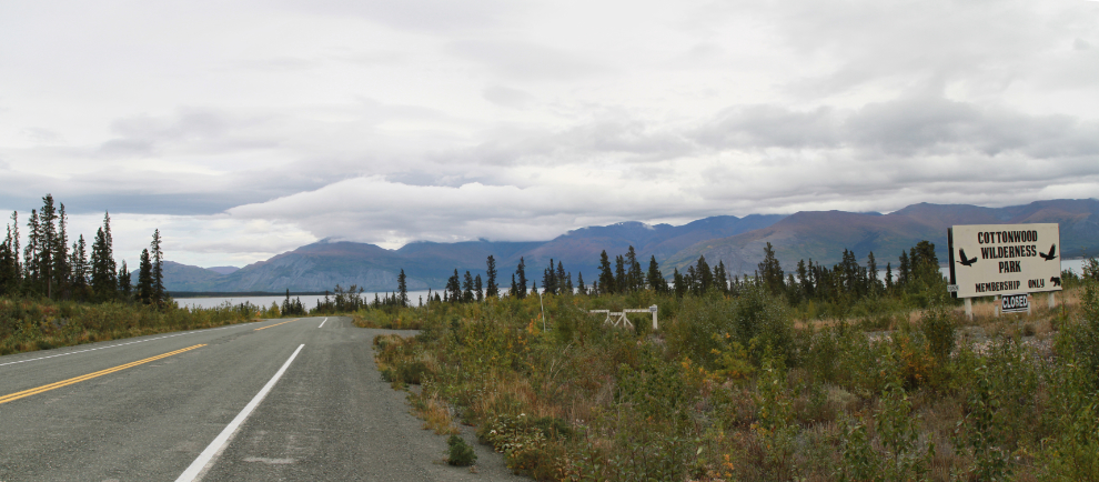
The Cottonwood RV Park was turned into a private club not long after COVID-19 closed it 2 years ago.
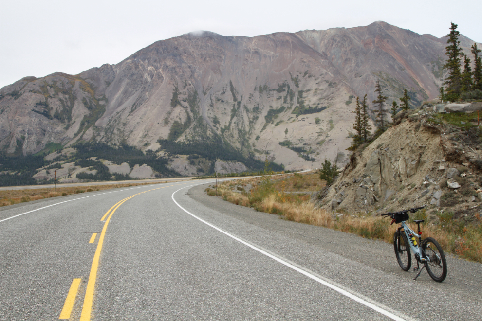
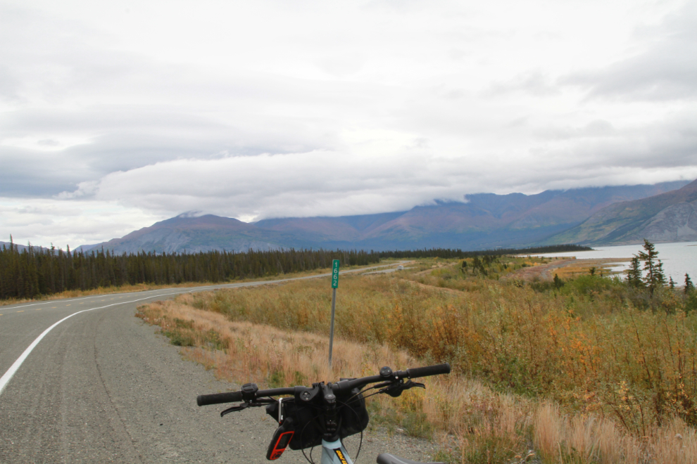
At the Km 1662 post.
That ride totalled 26.4 km (16.4 mi) and took an hour and 22 minutes.
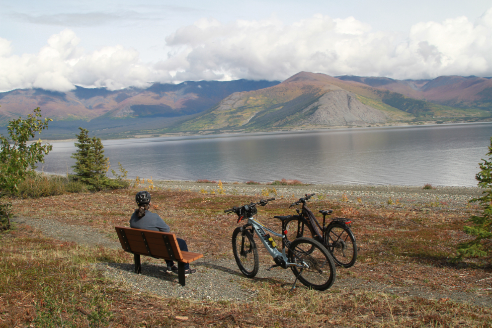
Cathy and I did a few little rides around the campground, on the loop roads, the roads in the large abandoned campground adjacent, and the interpretive trail along the lake.
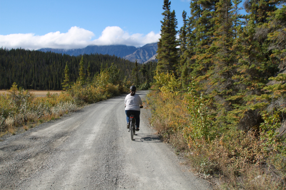
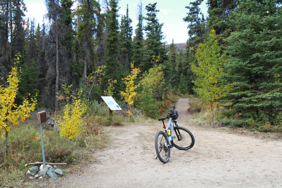
As we were headed back home on September 10th, the clouds cleared enough that a ride along the Slim’s River Trail West looked like fun, so we stopped at the start of it, at Sheep Mountain. This trail is another section of the 1942 Alaska Highway.
While vehicles can drive the first couple of kilometers of the trail, we didn’t meet any (no surprise).
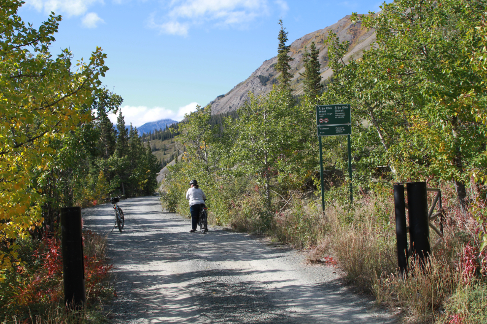
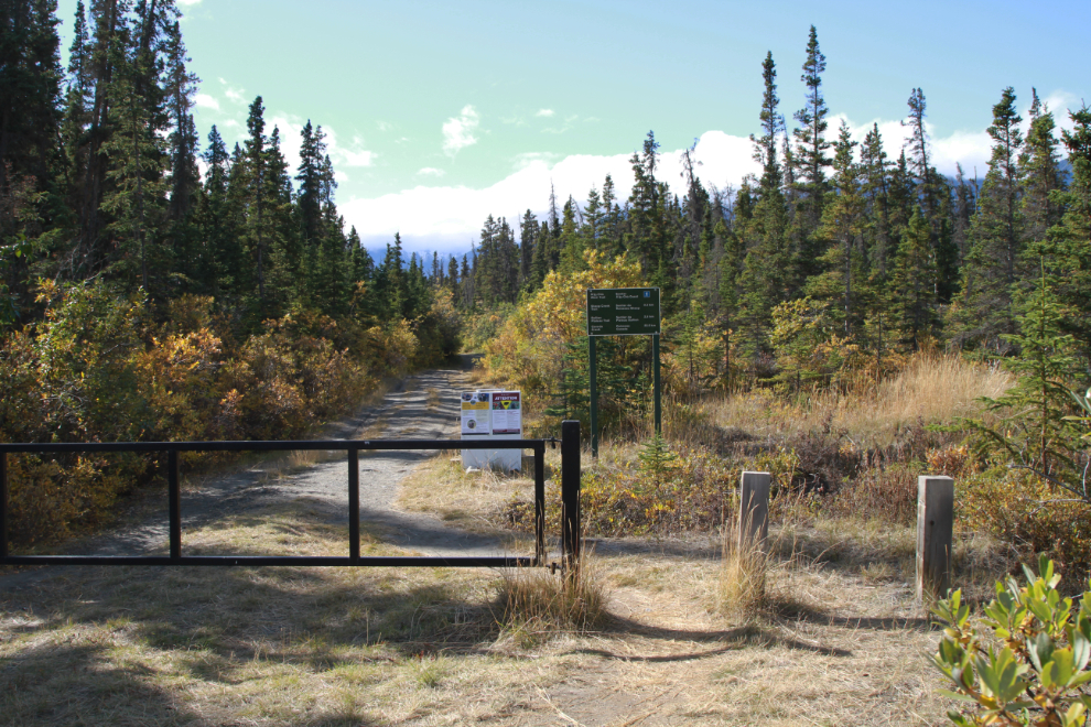
Just before this gate is a parking lot for hikers – it was pretty much full, with perhaps 15 vehicles.
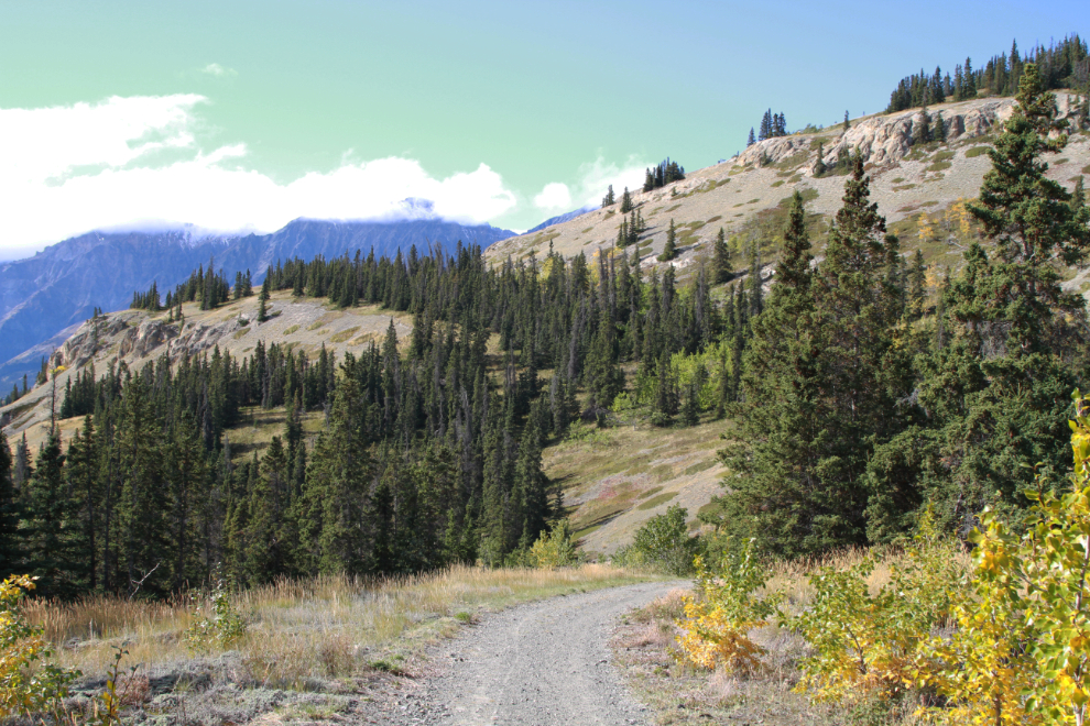
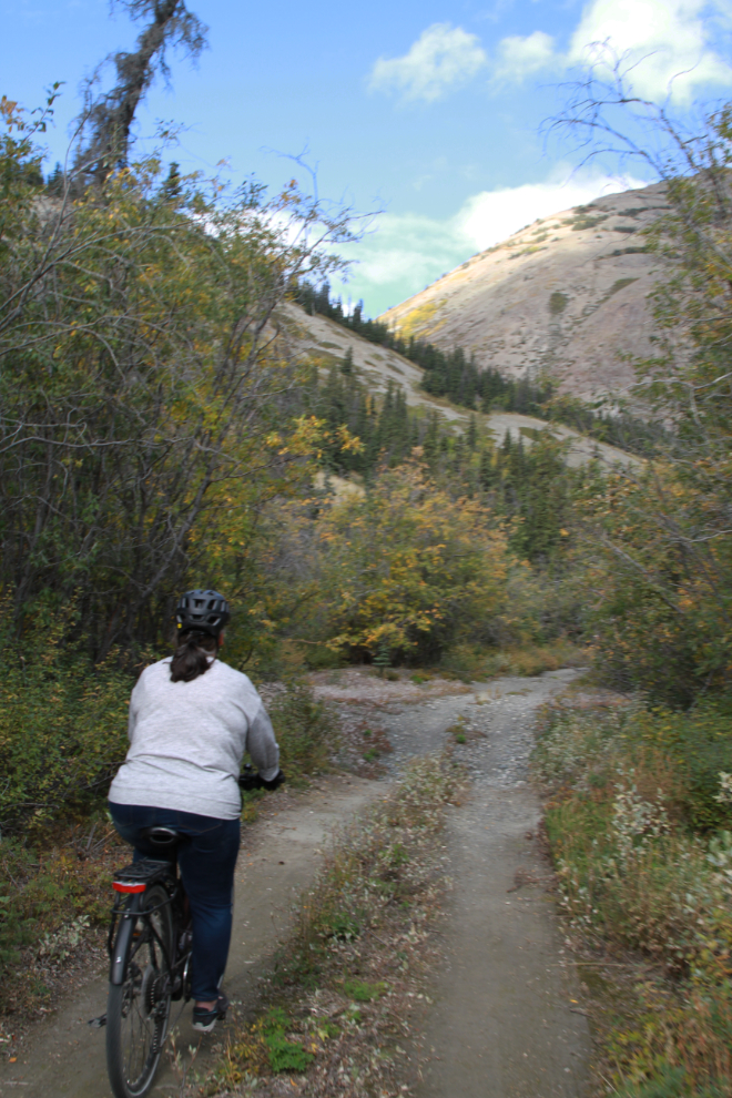
The hill ahead in the next photo rather freaked Cathy out because of its length and steepness (she has little experience on her bike yet), but I assured her she could handle it and if she needed help I’d be beside her.
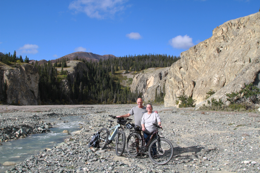
Nearing our planned turn-around spot, Bullion Creek.
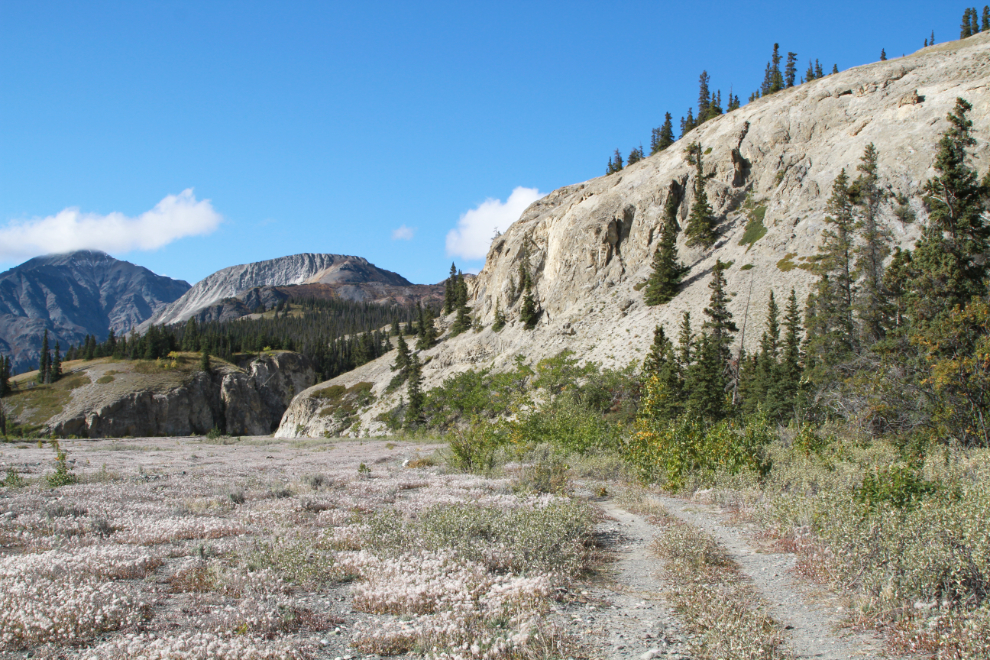
Bullion Creek was a wonderful place to set up a portrait. We agreed that this trail was simply superb for what we wanted.
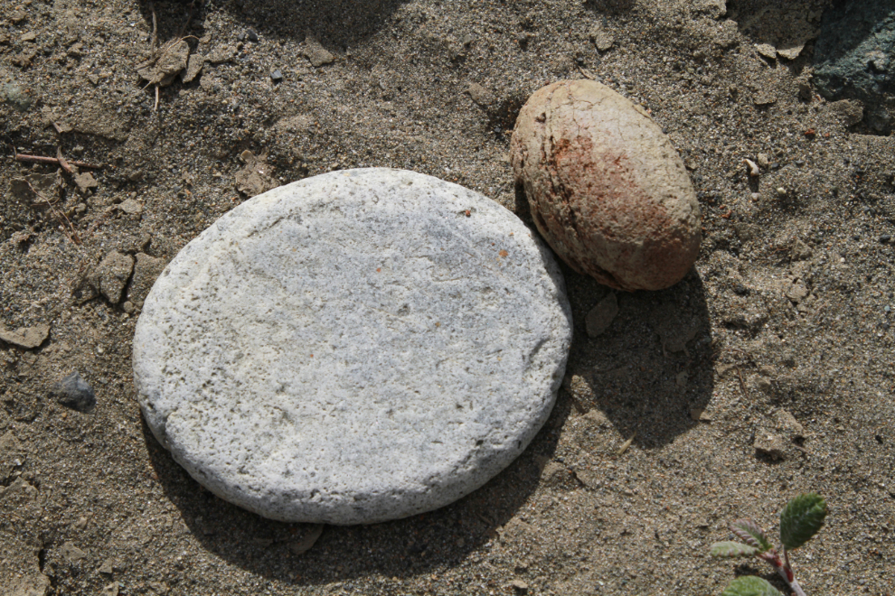
Sometimes Mother Nature sends us little gifts in addition to the huge ones we see on so many Yukon trails. This is a million-year-old pancake-and-egg we found along Bullion Creek. The pancake is about an inch thick, perfectly flat on both sides, and the egg is about the size of an XXL chicken egg, perfectly shaped, though eroded on the back side. Cathy found the egg and I added the pancake. They’re still there for you to find next time you’re up 🙂
Heading back to our vehicles. I had my camera hanging around my neck and this was shot “on the fly.”
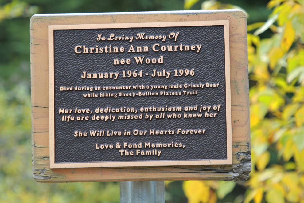
At the junction with the Sheep Creek trail is a memorial plaque that serves as sober reminder of who is in charge out here. Christine Courtney was killed on the trail by a grizzly on July 5, 1996.
These bikes have turned out to be an extremely good investment in our quality of life. With Cathy’s current health challenges, the e-bike allowed her to join the dogs and I for fast walks around the campground, as well as the rides we did together.