Hiking the Upper Easy Money circuit – Grey Mtn, Whitehorse
Following up on a conversation with a friend about hiking to the Grey Mountain cave above Whitehorse when somebody who knows the way could take us, I decided on the spur of the moment this morning to go and find it myself. Vague directions resulted in me doing two hikes – this was the first.
I used the Relive app to create a map/video, “Grey Mtn – Upper Easy Money“.
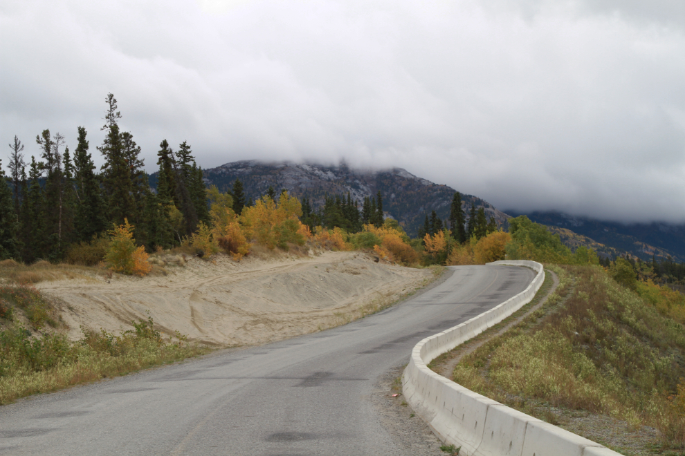
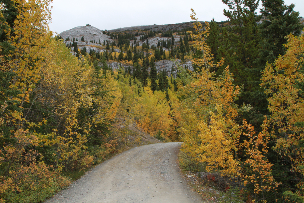
The route starts in the Riverdale subdivision in Whitehorse. Turn off Alsek Road onto Grey Mountain Road, and head up. The first photo was shot at 10:41 a few hundred meters up the road.
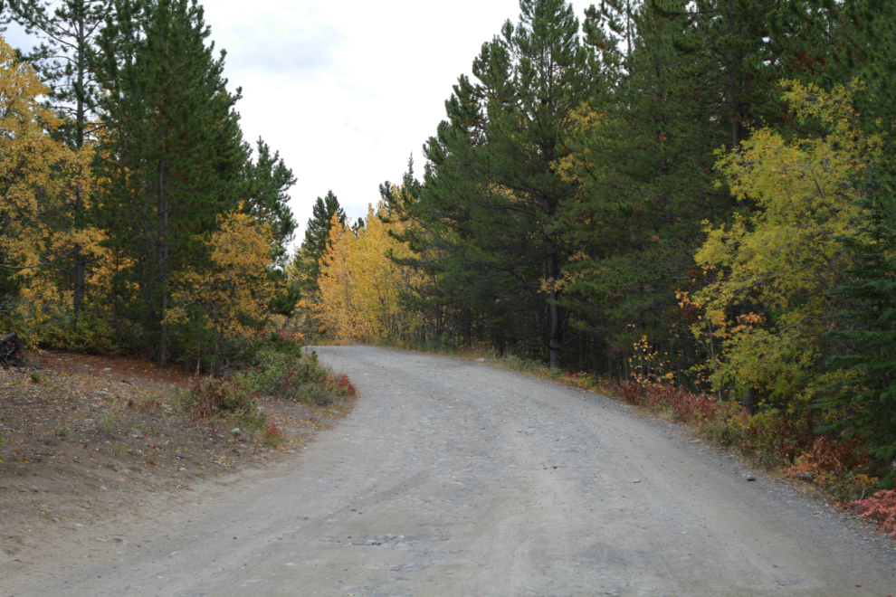
At Km 1.0 you reach the Grey Mountain Cemetery and the pavement ends. At 10:50 I reached Km 6.2 where the gravel road begins to be no longer maintained.
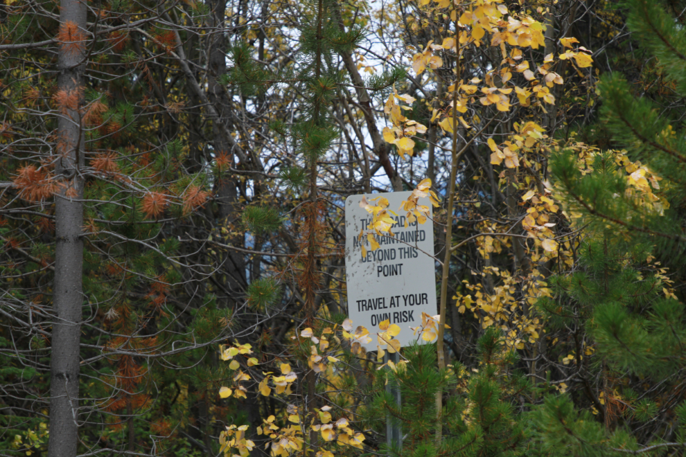
This little sign off in the trees at Km 6.2 verifies the maintenance status.
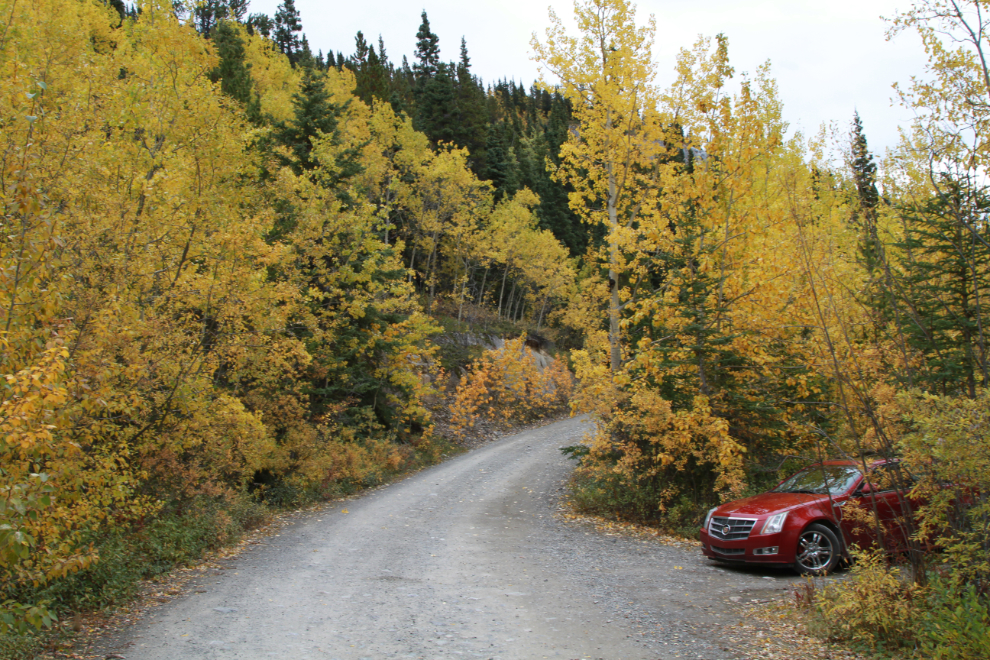
While I would have brought Cathy’s Jeep if I had planned ahead, I’ve been driving rough roads for 45 years now so know how to safely get the Cadillac up this one (or when to quit if there are surprises). The next photo was shot at 10:57.
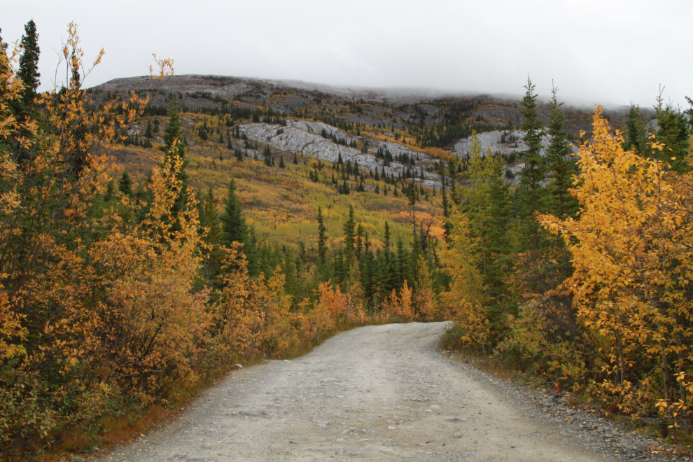
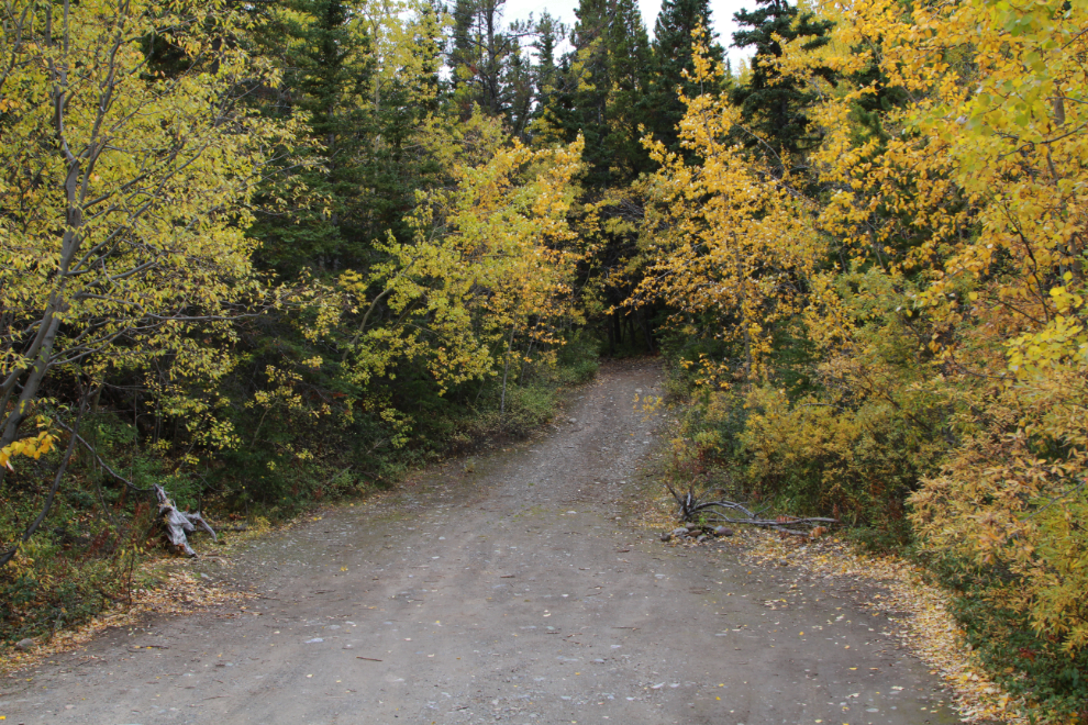
Almost at the trailhead, at 11:01.
There’s good parking for a couple of vehicles right across the road from the trailhead.
At 11:05, I headed up Upper Easy Money, thinking though that it could be the cave trail I wanted.
Some people need to always know where they are and where they’re going when on a hike. I don’t, I just hike for the pleasure of it. The next photo was shot at 11:06 – I was already sure that this wasn’t the cave trail, as the directions I had described a lot of rock at the start of that trail.

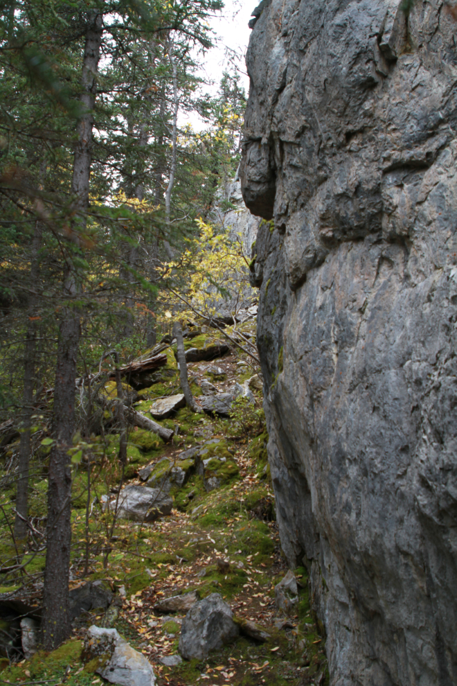
Two minutes later, there was a very impressive wall of limestone ahead.
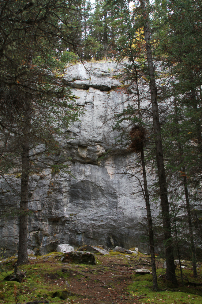
Looking to the right at that limestone wall…
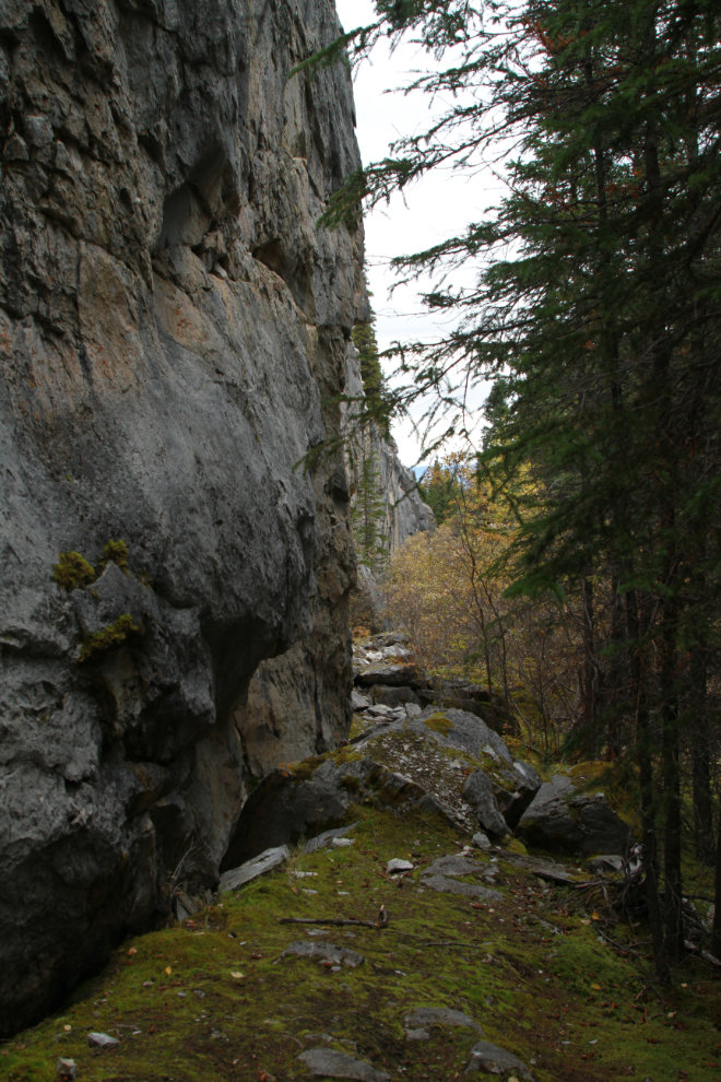
…and to the left, where the trail runs.
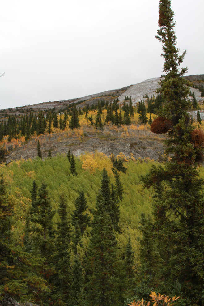
At 11:10 the trail had opened up and the view was wonderful.
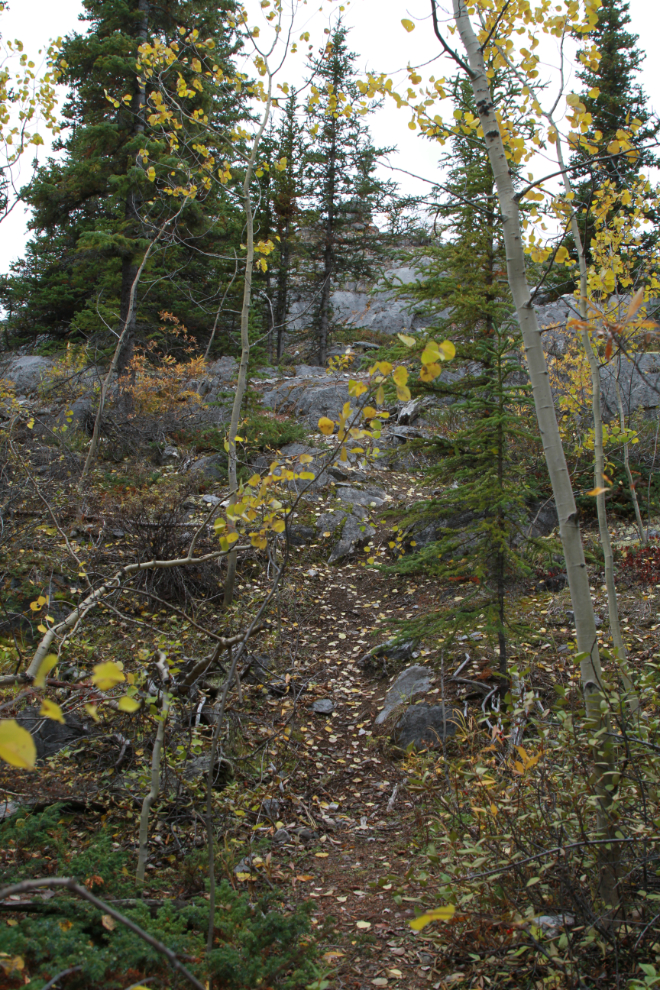
One minute later it looked like I was getting to the summit of a ridge.
This was a nice surprise to find at the top – a study bench with a spectacular broad view across the Yukon River valley.
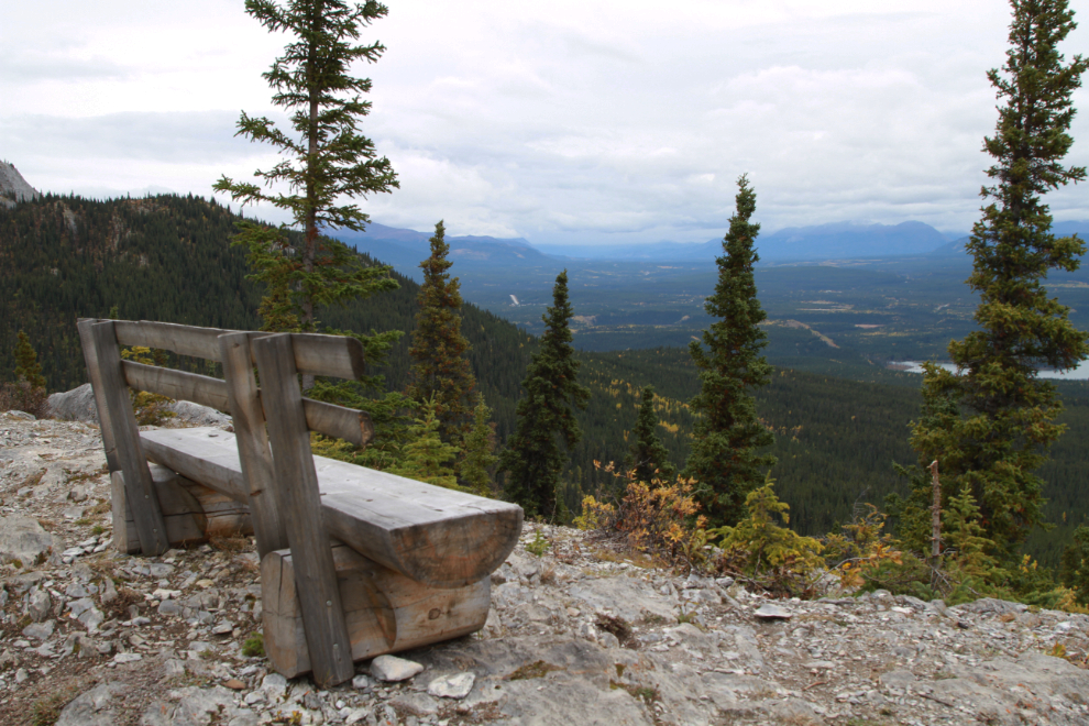
I didn’t linger at the top, as I still had a plan to reach the cave.
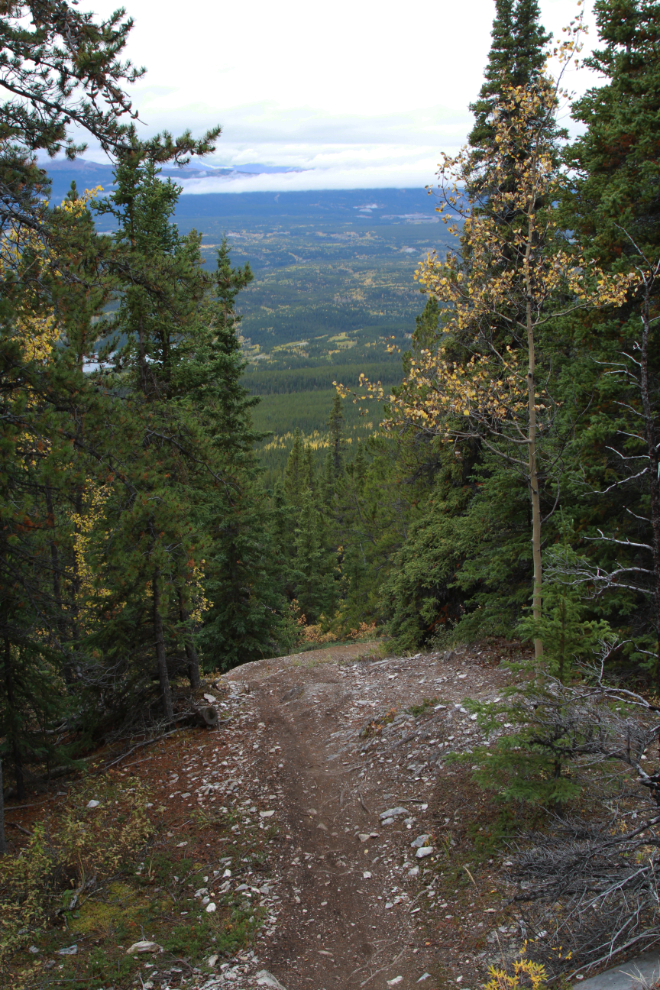
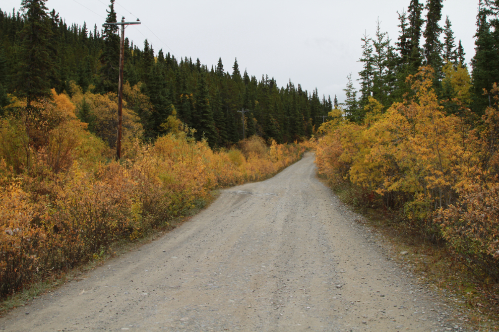
The long, steep descent soon made it clear that I was going to intersect Grey Mountain Road far below the spot where I’d parked. At 11:28 I reached the road and started up.
The view down the road, with the Whitehorse airport the large grey area to the left of centre.
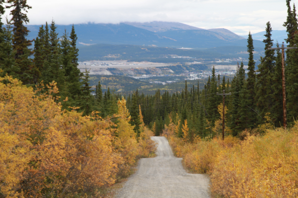
It took 20 minutes to walk back to the car. It’s steep to drive, even steeper to walk! 🙂 But I decided to continue on to find the cave trail, though I wasn’t sure yet whether I had the energy to hike it.