Photographing Fall colours and Dall sheep at Paddy Peak, BC
Yesterday wasn’t a great day weather-wise, but a photographer from Kelowna and I had a great day photography-wise in one of the most spectacular spots that you can reach on a day-trip from Whitehorse – Paddy Peak.
When we headed south from Whitehorse, I wasn’t certain that we’d be able to drive to the plateau below the peak. It had been 4 years since I’d been up there, and I’d heard that a tour company from Skagway has done a lot of damage to the road with ATVs. For more information about Paddy Peak, see my blog posts from 2 trips in 2013, on August 13th and August 14th.
A friend of mine from high school had introduced Linda Quon and I a few months ago, so we could go shooting while Linda was in the Yukon on business. Once I saw her Web site, Foilan’s Photography, I knew that it was a good match, and I hoped that Paddy Peak would work for us.
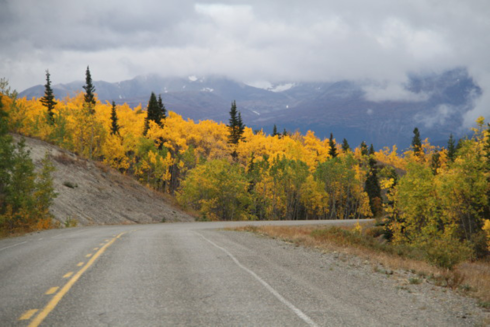
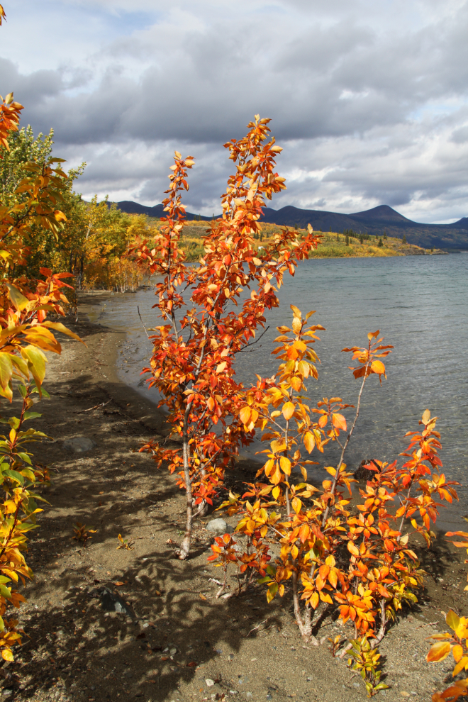
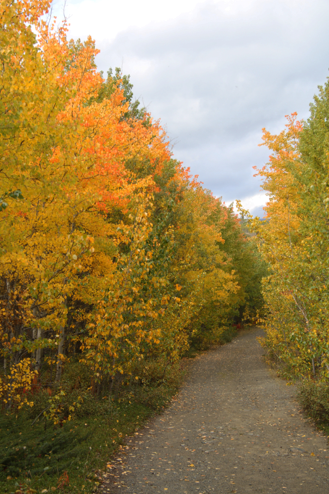
Linda was at my house well before our arranged 09:00 time, and we were almost at Carcross by 09:15. The Fall colours are near peak this week, and we made a few stops along the South Klondike Highway.
The weather forecast had actually been reasonably good, but although we saw some brief signs that the clouds might part as we continued south, it didn’t happen.
We had a look around Carcross and stopped for coffee, but by 10:30, were well up the road to Paddy Peak, which meets the South Klondike Highway 11 km south of the Yukon/BC border. I was very quickly glad that I had taken the Tracker instead of Cathy’s new Jeep as she suggested a couple of times. The road is very narrow and bushes brush the car in a few places – a few more scratches on the Tracker just don’t matter.
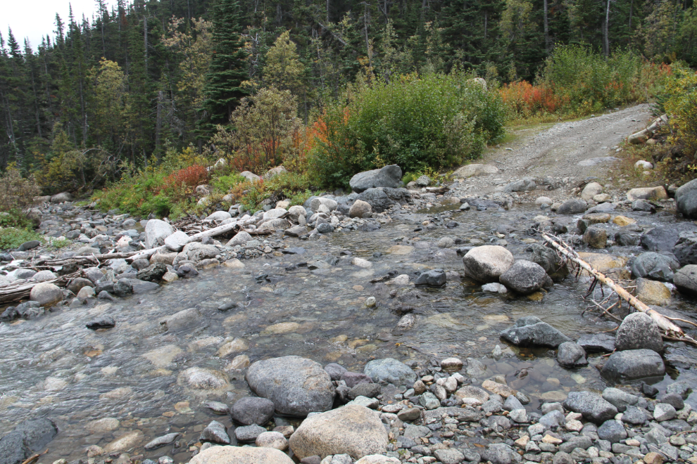
I had come prepared to move some rocks for the creek crossing if necessary, but we got across with no problem, though the far side takes a lot of care to not bottom out on large immovable rocks.
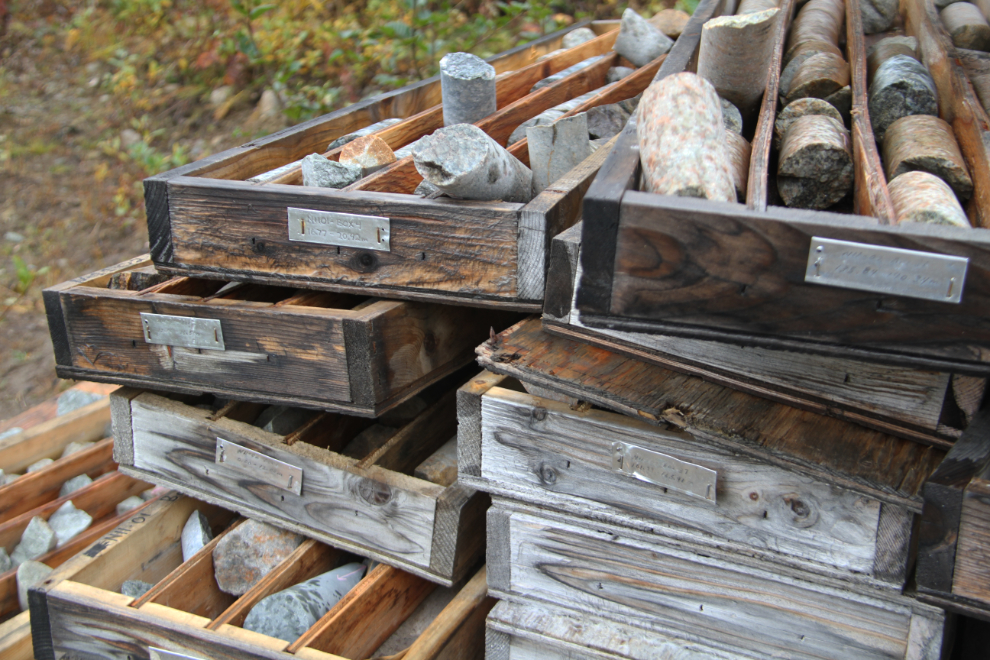
The old mining camps provided a good opportunity to explain a bit about the mining that caused the road to be built. The drill cores that are scattered around probably cost over a million dollars to gather, and can be a valuable resource. Once the cores are spilled out of their coded boxes, though, they’re worthless. In Whitehorse, the H.S. Bostock Core Library houses drill cores and rock samples from some Yukon properties, so that they’re always available for research.
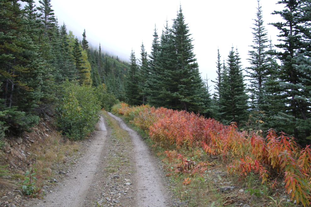
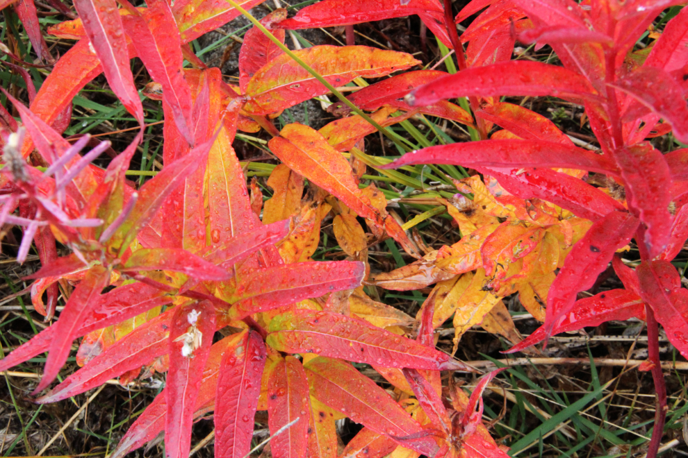
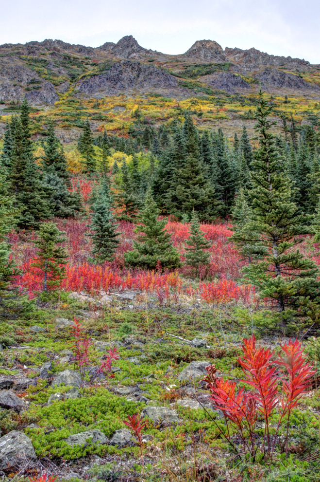
The reds, in this case the reds of the fireweed, prompted a few photo stops.
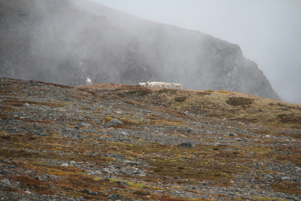
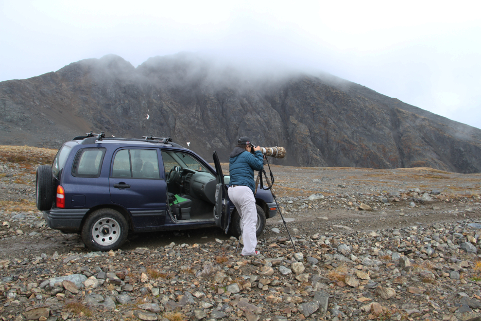
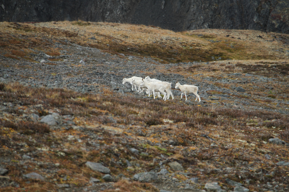
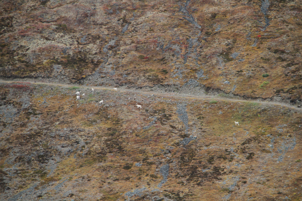
The road was pretty bad, but the Tracker did her usual amazing job of getting us to the top. Conditions weren’t very good, with clouds, some misty rain, and an icy wind. But, finding a band of 9 Dall sheep (Ovis dalli) while wandering the old mining roads immediately removed any thoughts about weather 🙂
Linda got a few “insurance” shots with her 700mm lens (500mm with a 1.4 extender), then starting walking down the road towards the sheep. I let her get far ahead, and the cautiously moved the car closer.
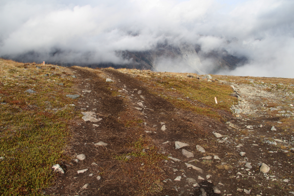
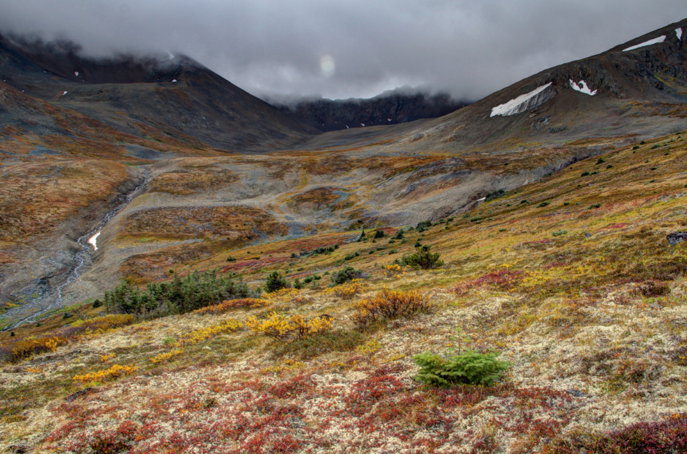
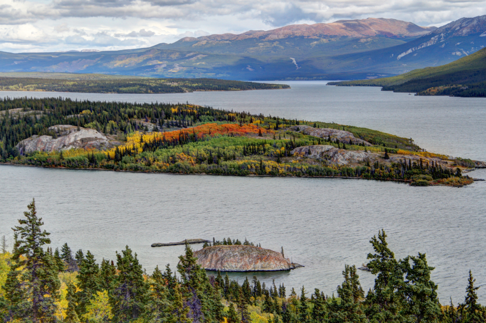
Here’s a broad view of the plateau, looking away from the ridge that the sheep were on. Pretty awesome country, even in this weather. Below the distant ridge is Lake Bennett, well hidden by low clouds.
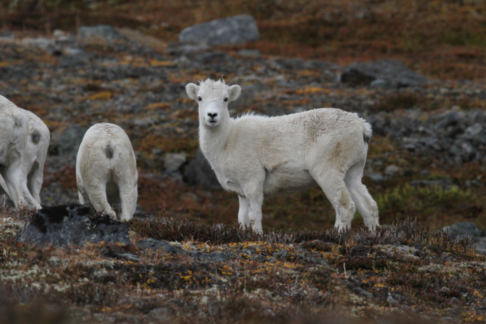
I was getting quite close with my 200mm lens, and the sheep weren’t bothered by our presence at all. Then Linda asked if I wanted to use her 700mm. I only said “no thanks” once 🙂
Oh my! I could sure get used to having a lens like that available.
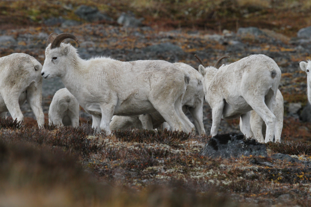
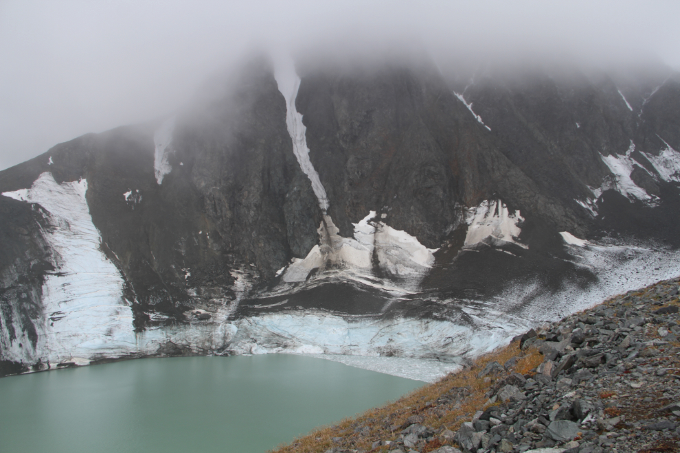
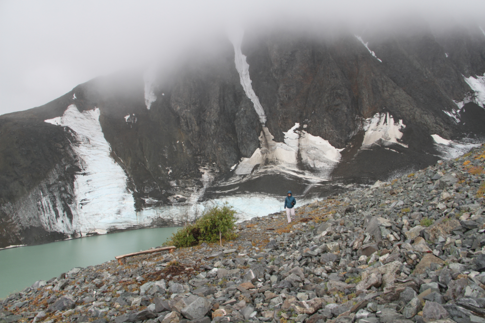
Getting right up close and personal for a few minutes was wonderful. It’s pretty incredible to be able to get as close as we did and have the sheep express curiosity, not fear. Then the sheep moved behind a ridge, and we retraced our route back to a point where we could get to the unnamed glacier that is the most unique feature up here.
With as many mining roads as there are up there, I’m really upset that BC Environment is allowing the tour company to tear up the tundra creating even more with their ATVs. Multiple complaints to the department by at least 2 people have had no result.
The glacier and its lake are so well hidden below Paddy Peak that some people may come up and never know that they left without seeing it.
The tour company has even spray-painted rocks to guide people towards the glacier! Grrrr……
Just after 12:30, we started down from the glacier. Another larger band of sheep was grazing in a patch of sunshine on the far side of the plateau, but much closer to the road, the 9 that we’d spent time with earlier were climbing up another road that’s not accessible to most vehicles due to a very rough and deep creek crossing.
A glacial cirque at the head of this valley holds a lovely small lake that I took a brief swim in on my last visit.
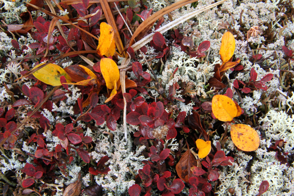
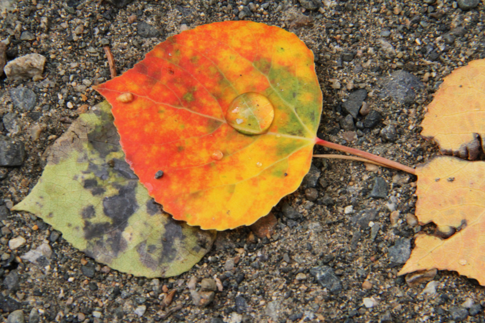
While Linda spent more time photographing sheep, I focussed mostly on the colours and patterns at my feet.
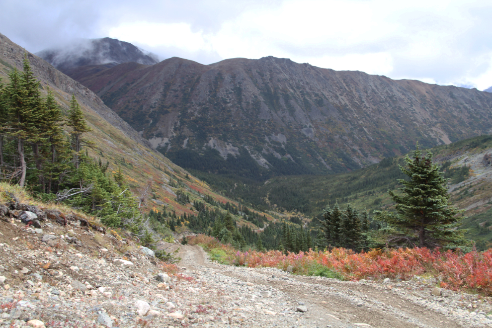
At 1:15, we started back down the steepest part of the road. It doesn’t seem steep in photographs, but it’s steep and loose enough that friends with dirt bikes have twice been unable to climb it this summer. It’s pretty much right at the limit of what the Tracker can handle.
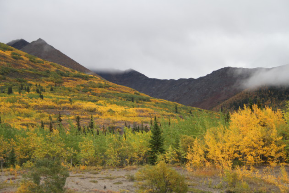
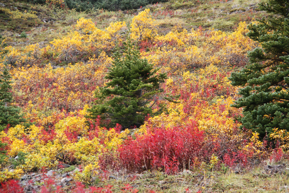
One of the colourful slopes above the road.
Yes, this is pretty incredible country, and it’s only an hour and a half from Whitehorse.
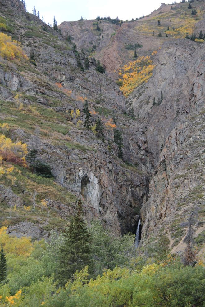
I stopped at Pooley Canyon, and we climbed a ridge to get a look at the waterfall that prevents hiking up the canyon to the 1906 Vault mine.
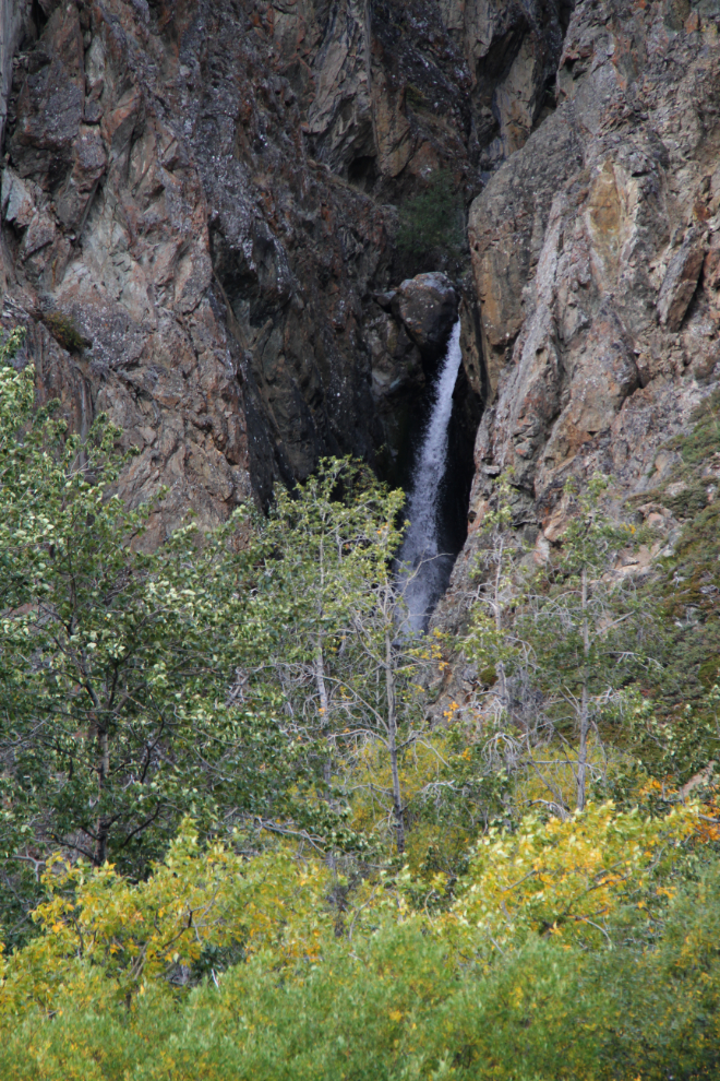
A closer look at the waterfall. There are often mountain goats on the cliffs here, but there were none this day. Just to the south a few hundred meters, there were a few more sheep, though.
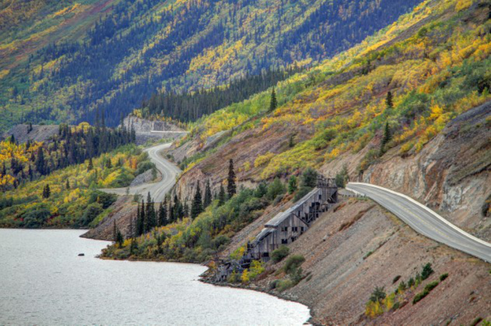
A look back at the 1912 mill for the Venus silver mine, located on Montana Mountain far above it.
I wasn’t finished showing Linda my world, so the historic Conrad townsite was the next stop. It was the service centre for the 1905-1906 silver mines including the Venus and Vault. The first photos show the Conrad Mines dock and the terminal for the largest of the aerial tramways.
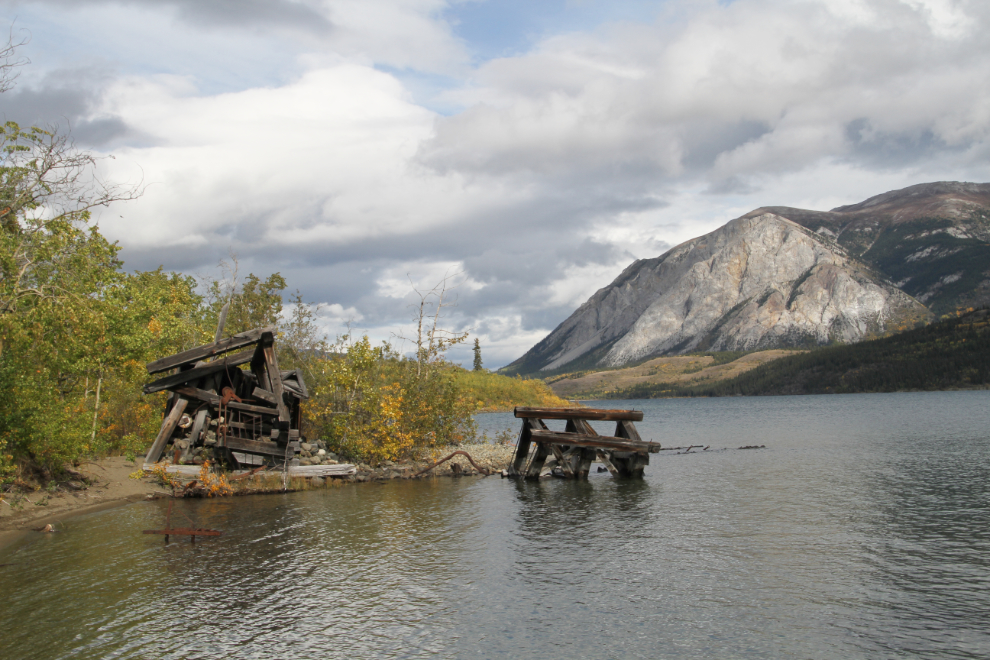
There were lots of brilliant colours at Conrad, along the roads, the beach, and through the townsite.
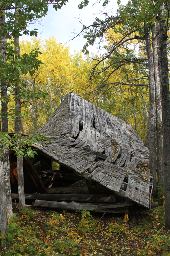
One of the two remaining buildings has been stabilized, but the largest one, probably a store, may be beyond saving without a huge investment.
The walk back to the car. Once a popular campsite, the Conrad townsite is now gated off and an official campground has been built beside it.
It looked like a spot of sunshine was going to pass by as we were overlooking Bove Island, but no luck, so I shot this as an HDRI to bring the distant colours out.
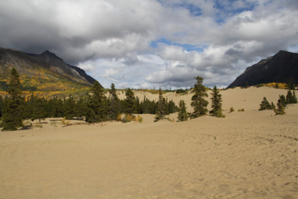
One more stop, to show Linda the Carcross Desert.