Alaska Highway ride – Chicken, Alaska to Whitehorse
Day 3 began very early – I went to sleep early last night and I was out taking pictures around Chicken before 06:00 this morning. It was a chilly morning – 39°F (4°C).
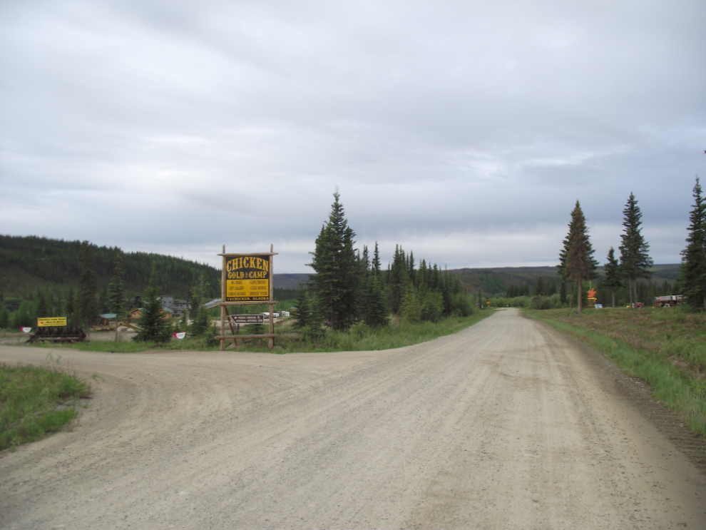
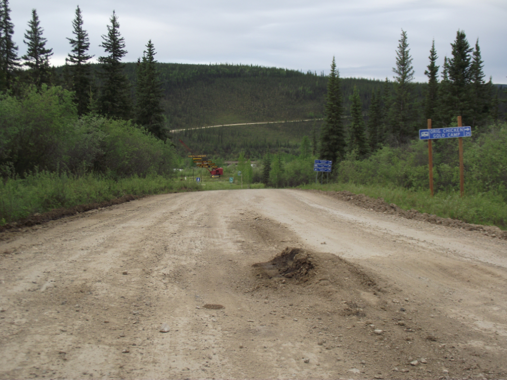
This is the side road off the Taylor Highway that takes you to the Chicken Gold Camp on the left and the Chicken Creek Cafe complex on the right.
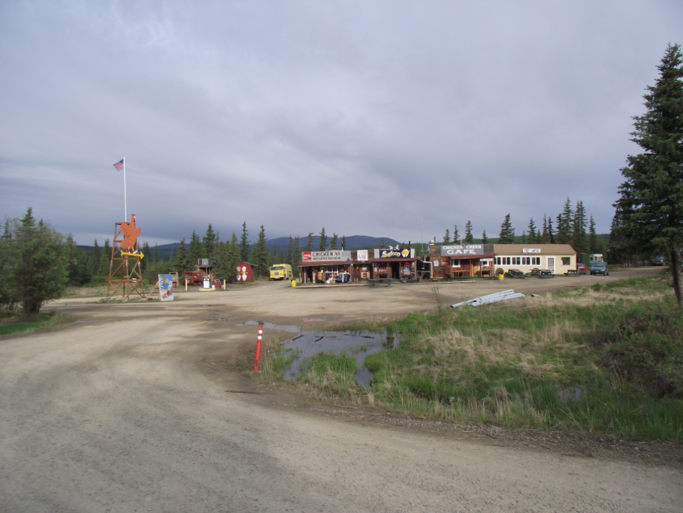
Back when I started running tours on this route, the Chicken Creek Cafe complex was where most visitors came – it was certainly the most-photographed spot in Chicken. Although Holland America’s buses still stop there twice a day, it’s very quiet now compared to 20 years ago.
Spring breakup Alaska style – this was the condition of the Taylor Highway in one spot as I walked up to the post office.
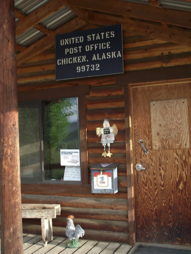
The Chicken, Alaska post office. There is chicken art all around the building.
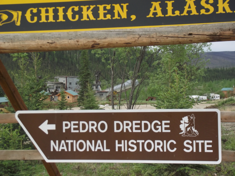
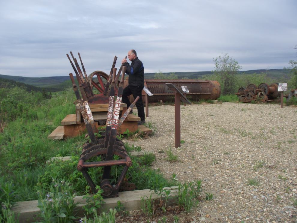
Until September 2007 the Jack Wade gold dredge sat alongside the Taylor Highway at Mile 86 north of Chicken. Due to its deteriorating condition and safety concerns, the Bureau of Land Management (BLM) had it removed – some major parts were set up near the Chicken post office, while the majority of it went to the Tok garbage dump.
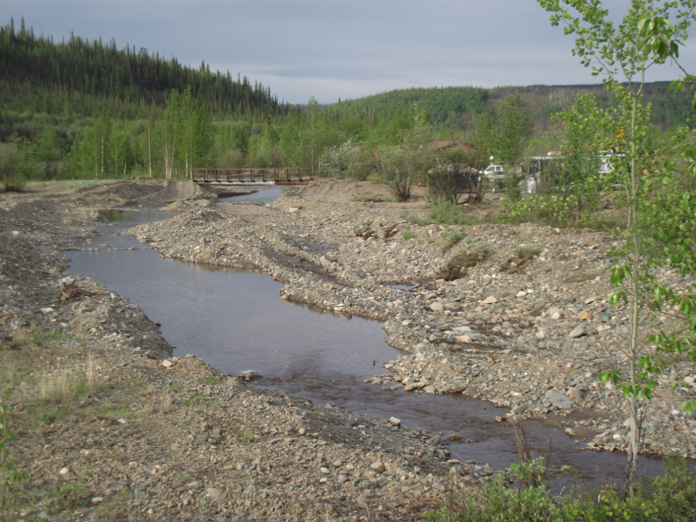
Back down at Chicken Creek. The photo was shot from the bridge across the creek, which hasn’t run freely in many decades – there is still a great deal of recreational gold mining being done all along the creek.
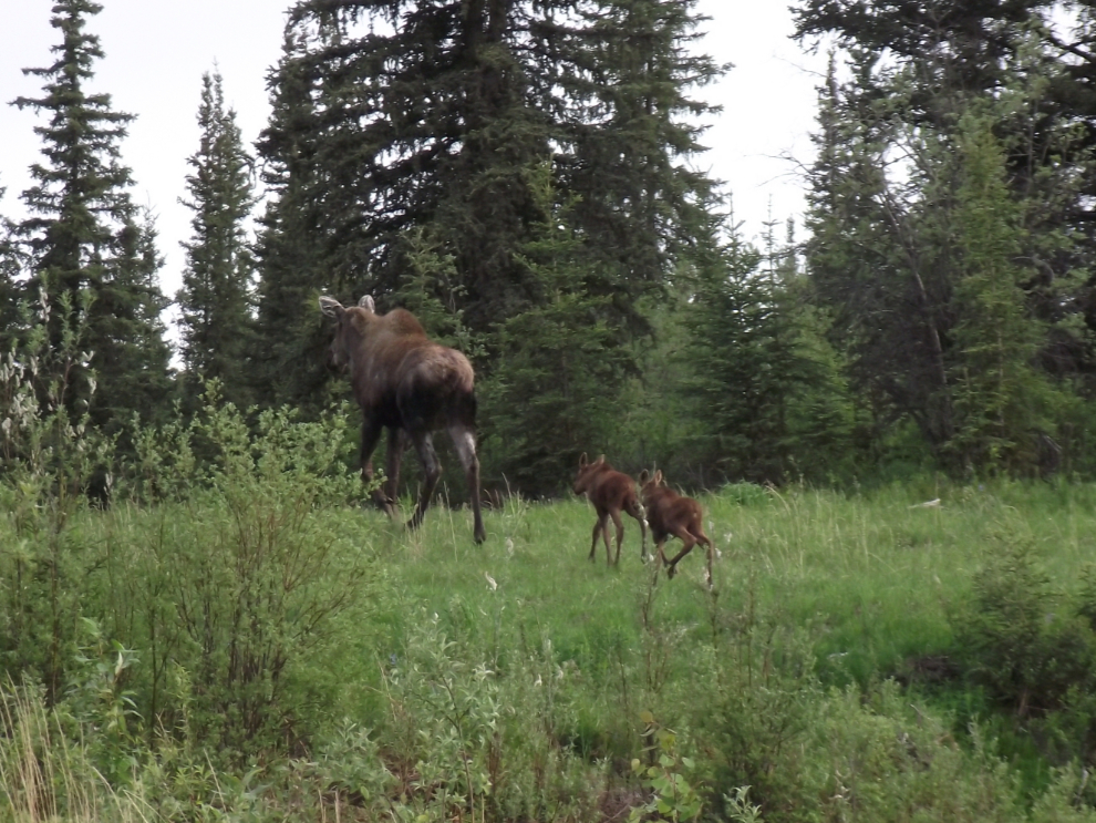
As I neared my cabin, a cow moose and twin calves crossed the road right in front of me. It’s times like this that make me not like my little camera much – it’s reaction time is very slow.
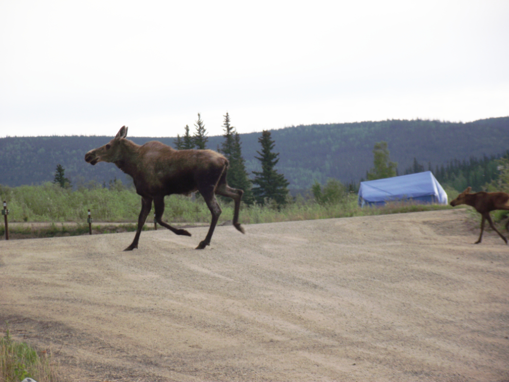
The moose family heading across a re-vegetated gold mining tailings pile towards the Chicken Creek Cafe.
Enjoying the view from my cabin a few minutes before 07:00. I wished that I’d brought a big mug of coffee with me.
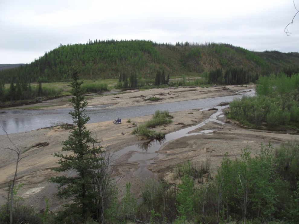
After breakfast and dealing with my email (I brought my laptop and the Chicken Gold Camp cafe has wi-fi), I decided to see if I could find the long-abandoned Chicken cemetery. I got general directions from Mike and headed down the creek. This is the Mosquito Fork River and the mouth of Chicken Creek at 09:00 am – Mike said that the cemetery was on a bench in this area.
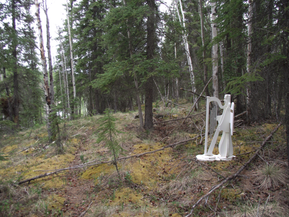
A couple of minutes later, there was the cemetery, though barely recognizable as such. The white monument was installed by an Alaska family in recent years in memory of Edna Rea Traub, who died in 1917, and her baby boy who died in 1904 when a few months old.
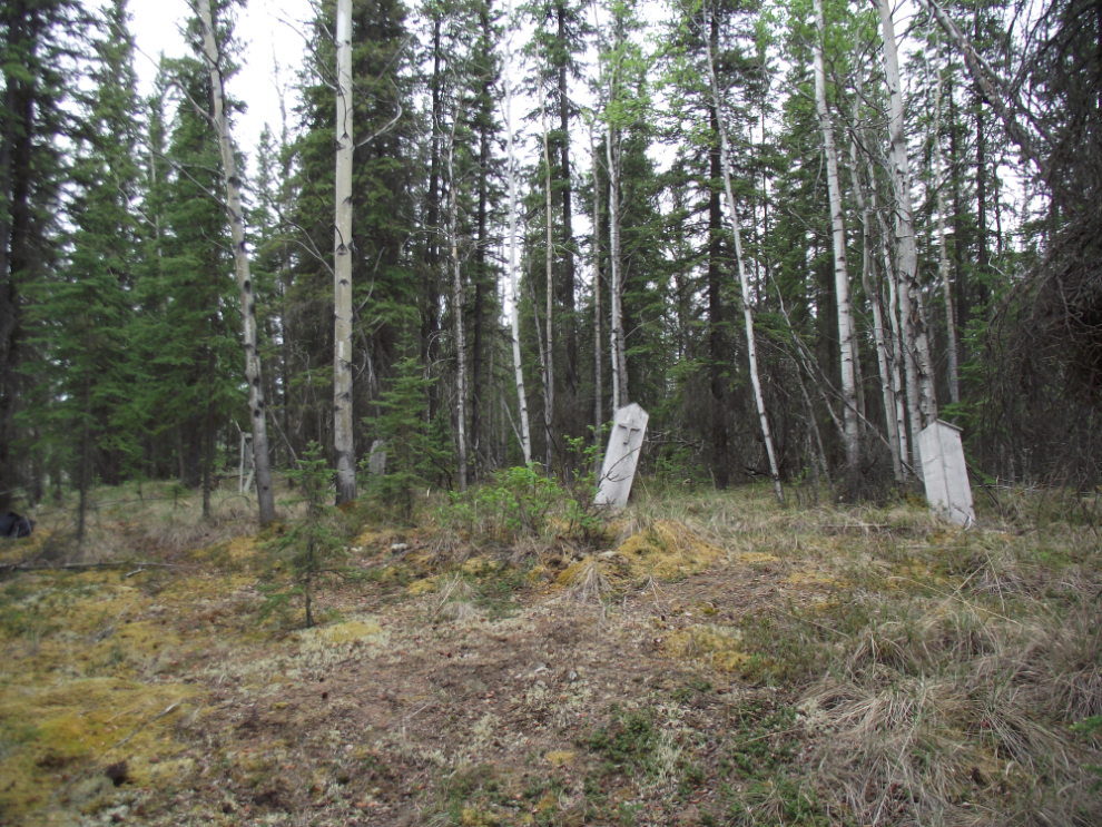
It’s hard to say how many graves are there – 12-15 perhaps. The only marker with a date that I could make out was from 1924 – I couldn’t make out the name clearly but I think it’s “Dr. G. M. Fallkner”. [Edit: we have now created a separate page for this cemetery, with photos of all of the likely burial sites – see The Chicken Cemetery, Alaska]
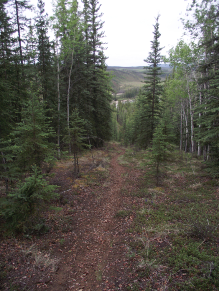
The route that I took to reach the cemetery wasn’t particularly pleasant so I decided to head up through the forest to the Taylor Highway and walk back to my cabin that way. There are heavily-used game trails everywhere! This is the view back down the moose trail I followed.
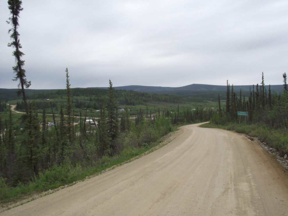
Approaching Chicken from the north on the Taylor Highway.
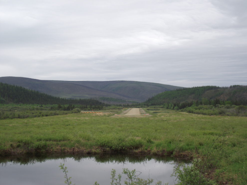
I packed up when I got back to the cabin, said my good-byes and at 10:25 was on the road, with the plan being to overnight in Beaver Creek again, though at Ida’s this time rather than the Westmark. The next photo shows the Chicken airport – the “Chicken strip” 🙂
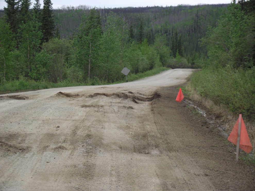
A particularly bad bit of road damage about 3 miles south of Chicken. On my way north an SUV bottomed out straddling one of the rises.
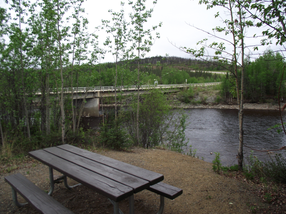
This is the Mosquito Fork Wayside, a pleasant stop developed by the BLM, with outhouses, picnic tables and grills. Once you cross the bridge southbound here, the highway is paved.
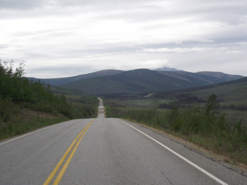
The view south at about Mile 45, looking towards Logging Cabin Creek and Mount Fairplay.
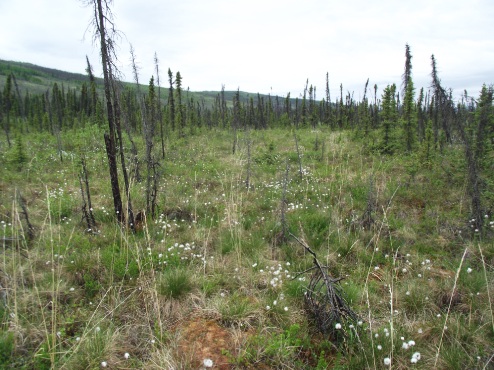
Arctic cotton grass in the permafrost forest along Logging Cabin Creek.
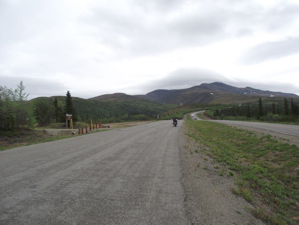
The Mount Fairplay Wayside at Mile 35. Halfway around the mountain a screaming, bitterly cold north wind hit me, and stayed for a couple of hours. On a bike you notice every degree of temperature change, and I went past another motorcyclist putting on another layer of clothing (or perhaps plugging in his heated gear).
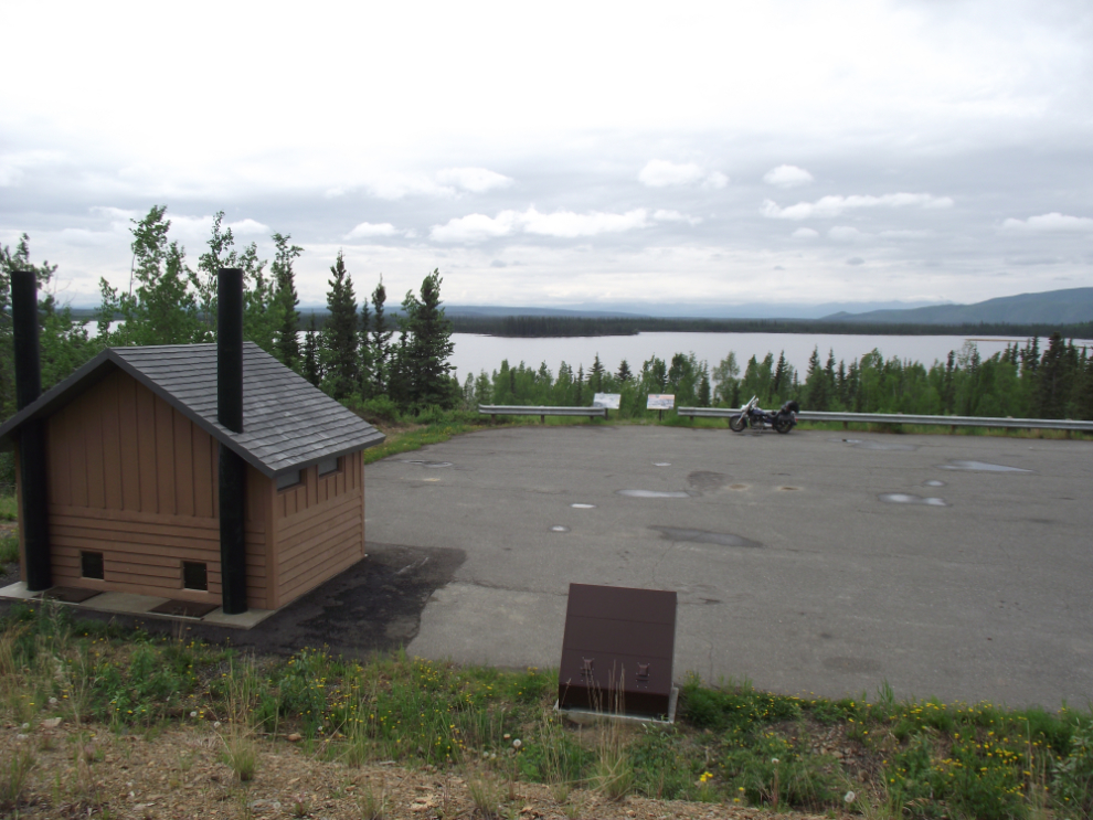
Back on the Alaska Highway, I stopped at this elevated rest area at Mile 1289.5.
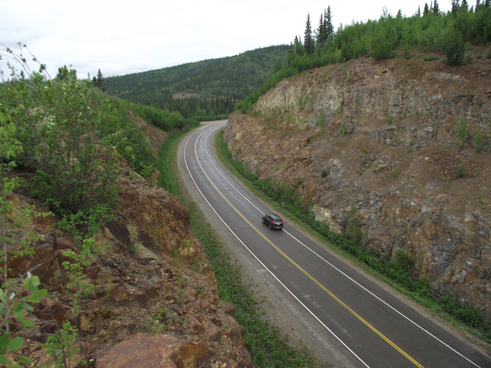
At Mile 1276 I went off on an old piece of highway to get a high view of this rock cut that was done in the mid 1990s I think.
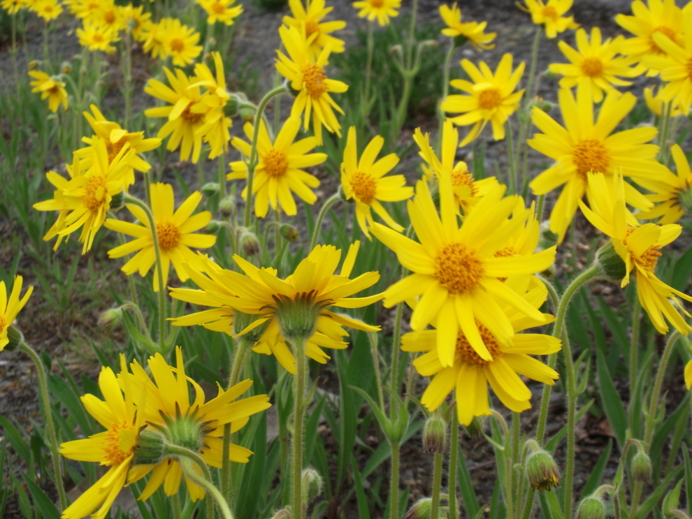
The wildflowers are starting to get quite nice in some spots, and these ones at about Mile 1248 prompted a stop at a little pullout.
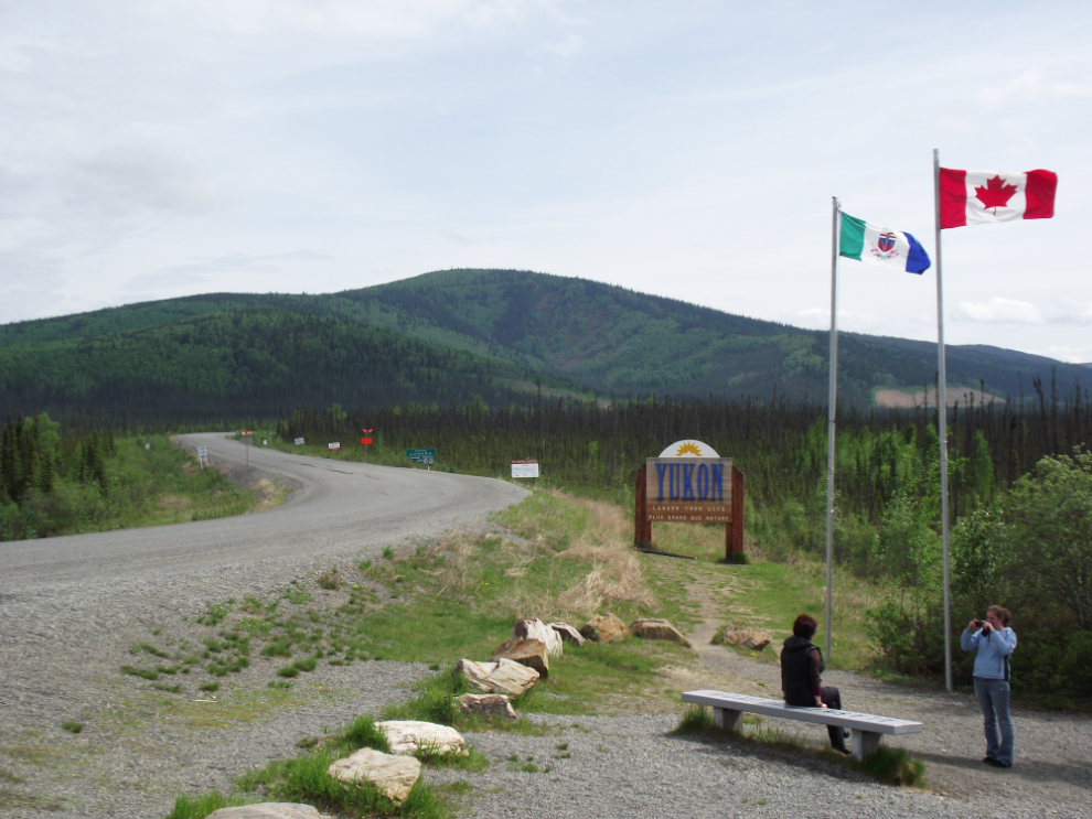
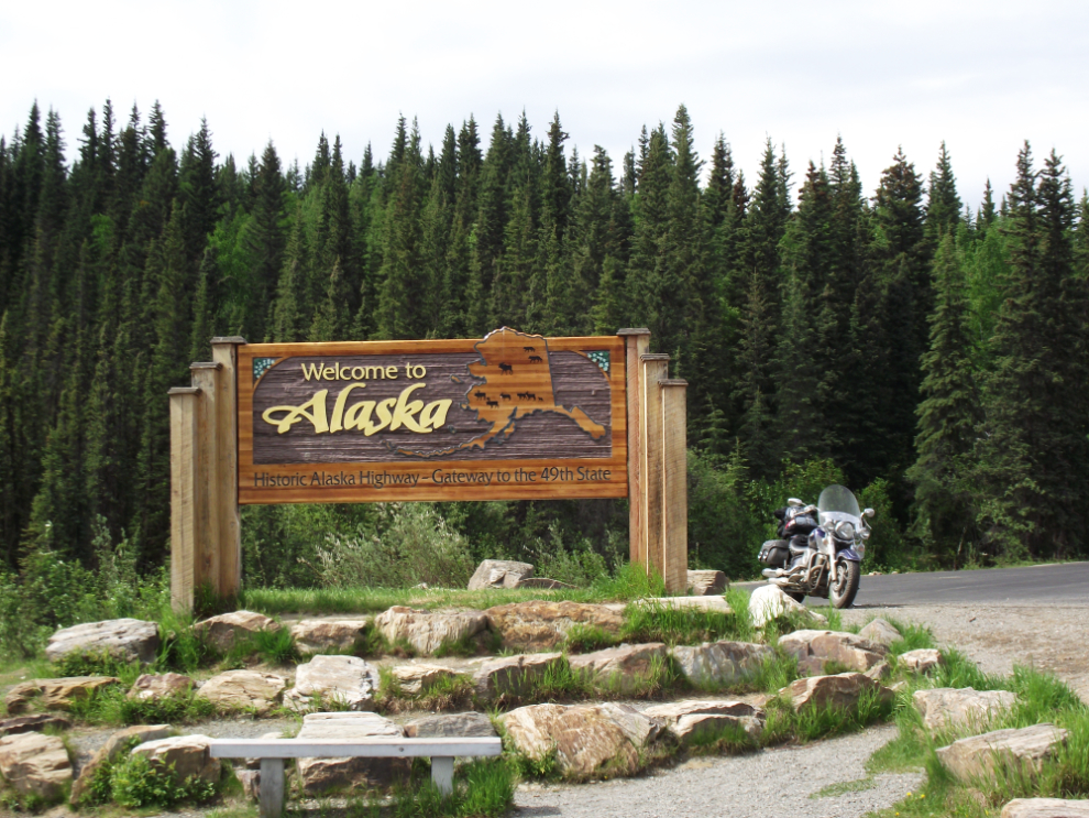
Crossing the border again.
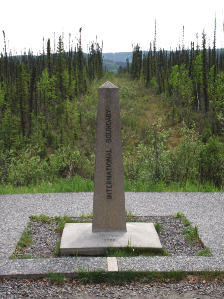
The actual border, running along the 141st Meridian. What a job it must be to keep than line through thousands of miles of wilderness free of brush and trees!
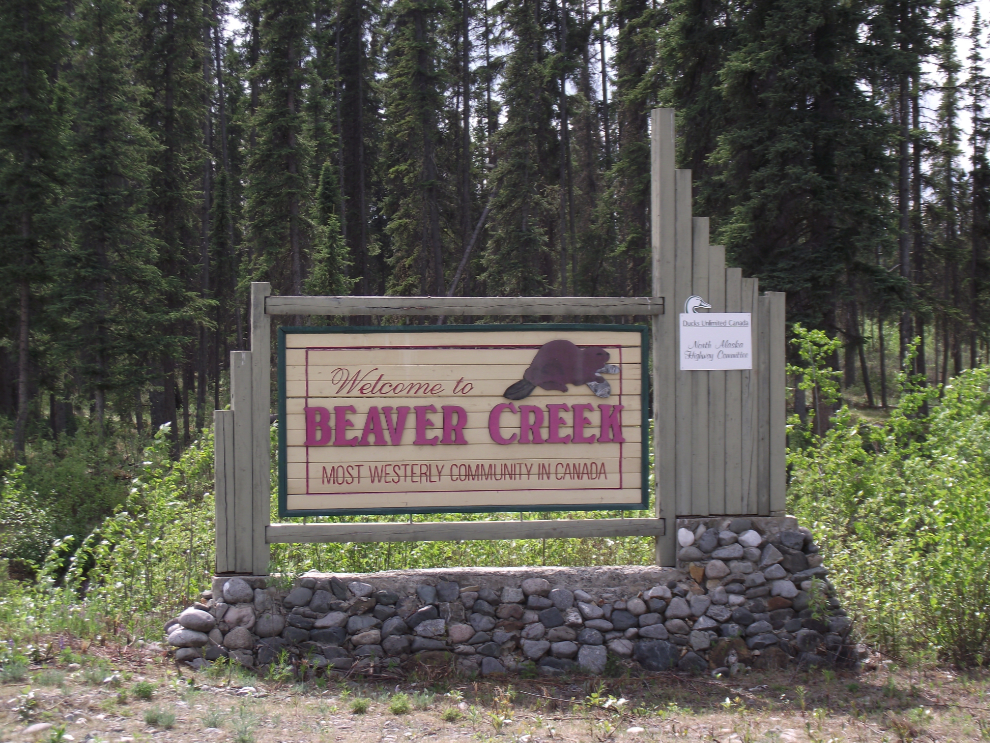
Entering Beaver Creek, the most westerly community in Canada, at 3:55 pm. I had already decided to just stop for an early dinner and keep going, probably right to Whitehorse, though I was still open to stopping at Destruction Bay or elsewhere.
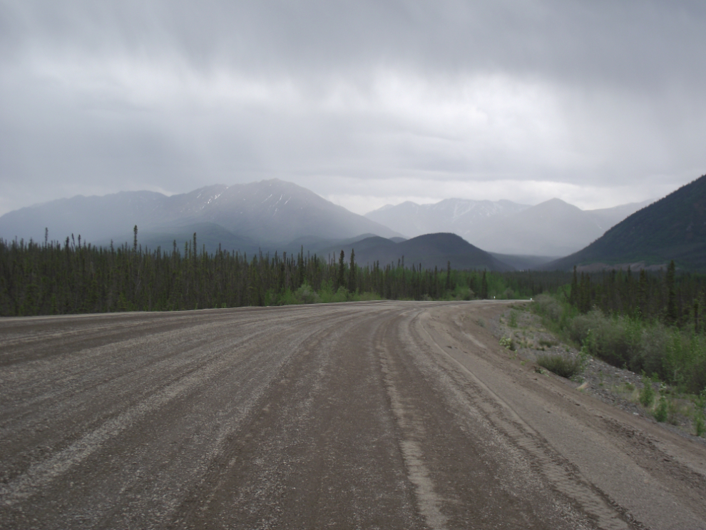
Nearing the White River at 5:35 pm. The extensive gravel didn’t seem as bad as it did northbound for some reason.
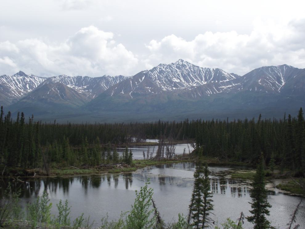
This 2-second view at Km 1776, a few k south of the White River, prompted a U-turn to go back and get the photo of these thermokarst ponds, formed by the thawing of ice-rich permafrost.
I again took the bypass to the Lt. Small memorial, this time stopping to record mileages and take more photos for an article (which is now posted at ExploreNorth).
I stopped for gas and a snack at Destruction Bay and called Cathy to tell her when to expect me – she was completely surprised as she hadn’t picked up the message I left for her at work and so expected me to be staying in Beaver Creek.
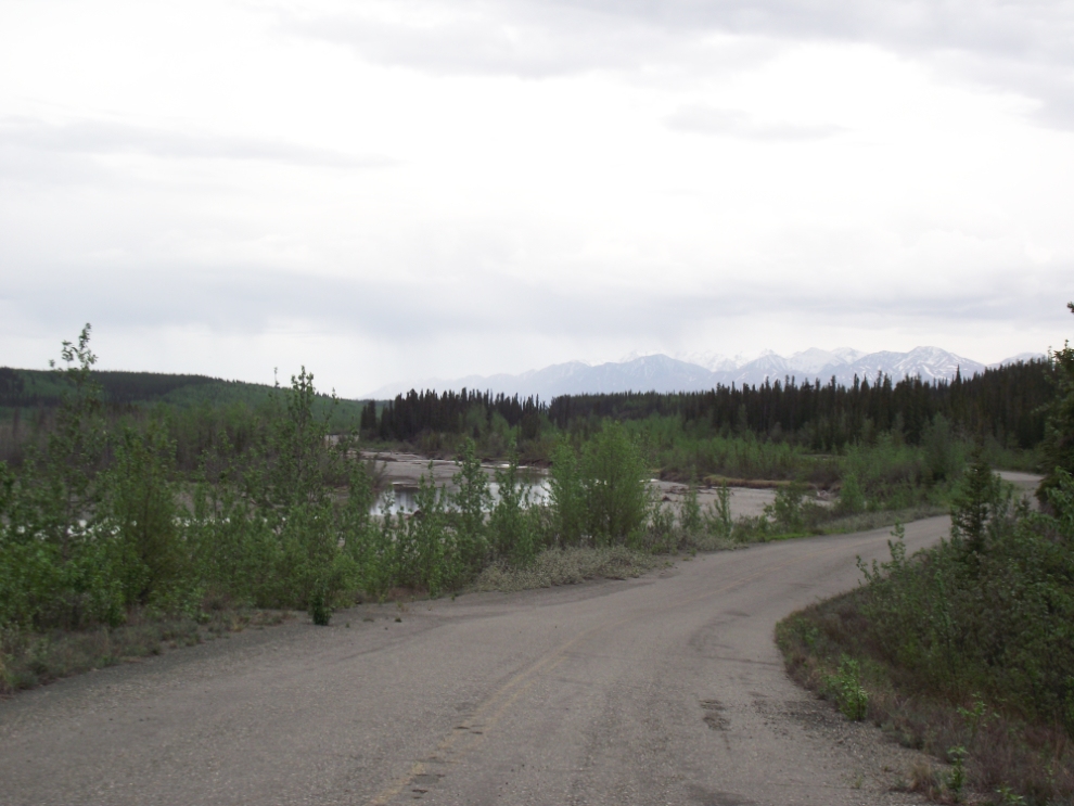
This is the Jarvis River, another of my favourite spots along the highway. I knew that this view was coming so no U-turn was needed 🙂 This was shot at 8:50 pm – the light tonight was spectacular.

I got home at 11:00 pm in the rays of the setting sun (sunset was at 11:16 pm) with the temperature sitting at 4°C (39 °F). Three days, 1510 km, 387 photos, 3 grizzlies, several moose, 2 gold dredges – fabulous trip! Now I have to clean the bike 🙂