Exploring the Dempster Highway – hiking Lil Creek Canyon
We had a short day available at the Tombstone Mountain Campground on Day 8 of this RV trip – Tuesday, July 31st. We had to leave by about 2:00 pm to get Cathy to the Dawson airport, but that gave me just enough time for another short hike, down into the Lil Creek Canyon just north of the campground.
I left the campground just after 10:30, and my first was just 2 kilometers up the Dempster Highway, at the Tombstone Range viewpoint, Km 74.0.
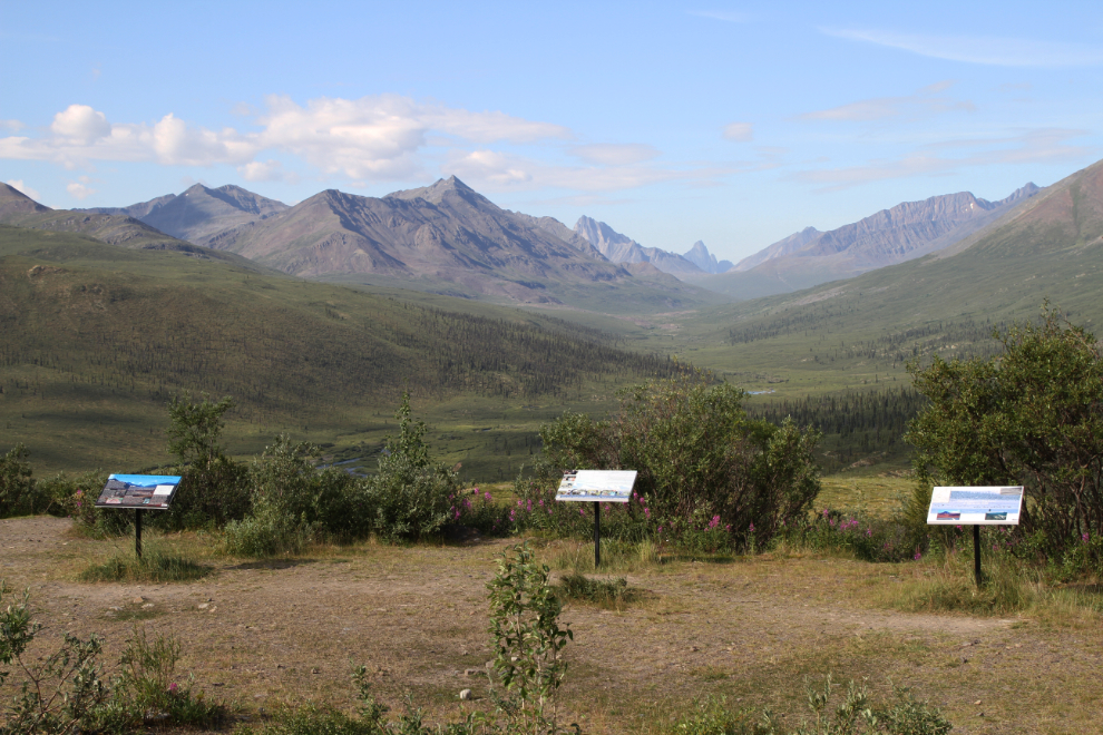
I climbed up above the viewpoint for most of the photos I shot there. The next photo looks back to the south – the campground is in the centre.
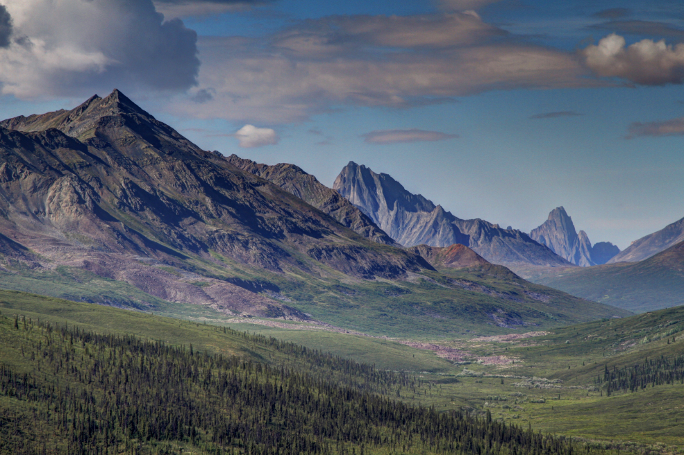
The next photo is a fairly radical HDR image of the scene at the Tombstone viewpoint, making it look rather like a painting.
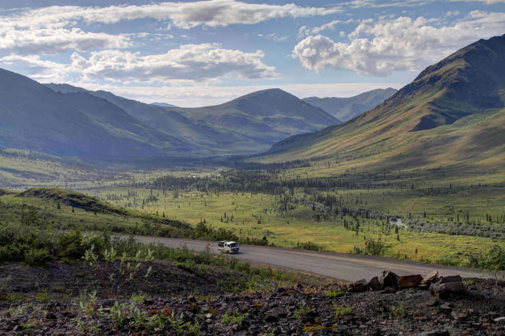
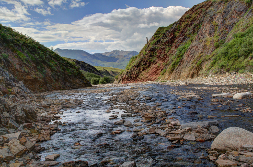
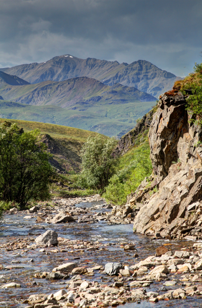
The next photo looks to the north over Lil Creek Canyon, from about Km 75.
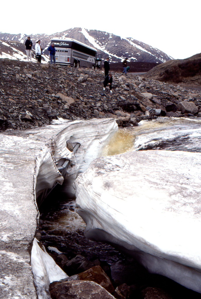
Going back 20-30 years when I was fairly regularly running tours up the Dempster Highway to Inuvik, Lil Creek was a common stop of interest in my early-season tours, as deep ice forms on the upstream side of the highway (seen in the next photo), and the ice canyons that form in the spring were a unique attraction for many of my guests. The next photo was shot in early June 1996.
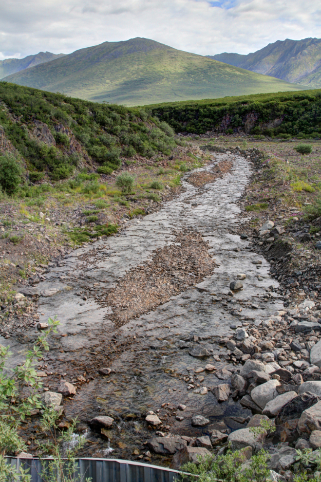
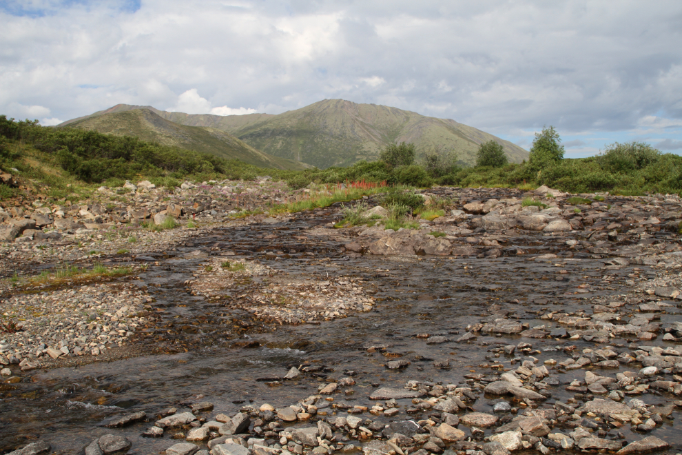
This was the view looking upstream today.
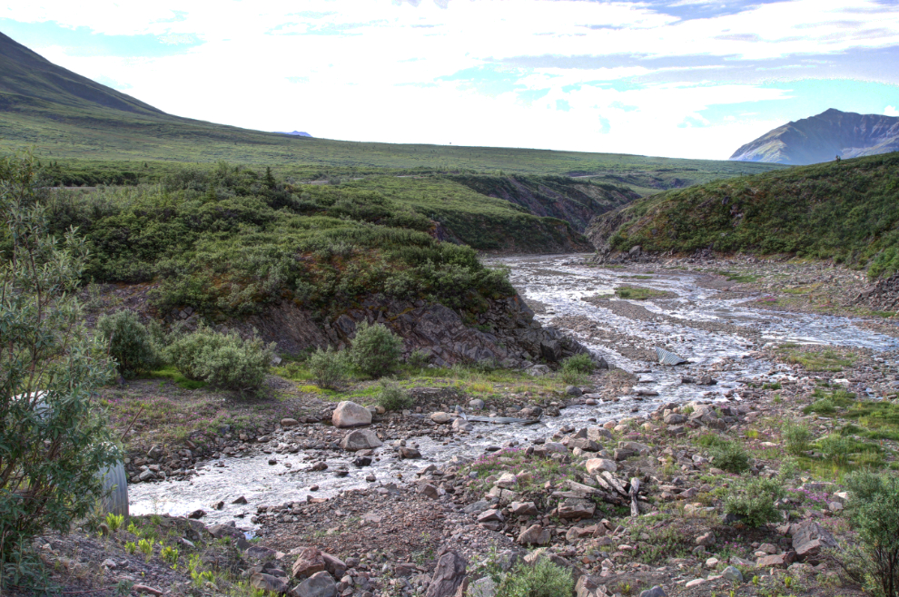
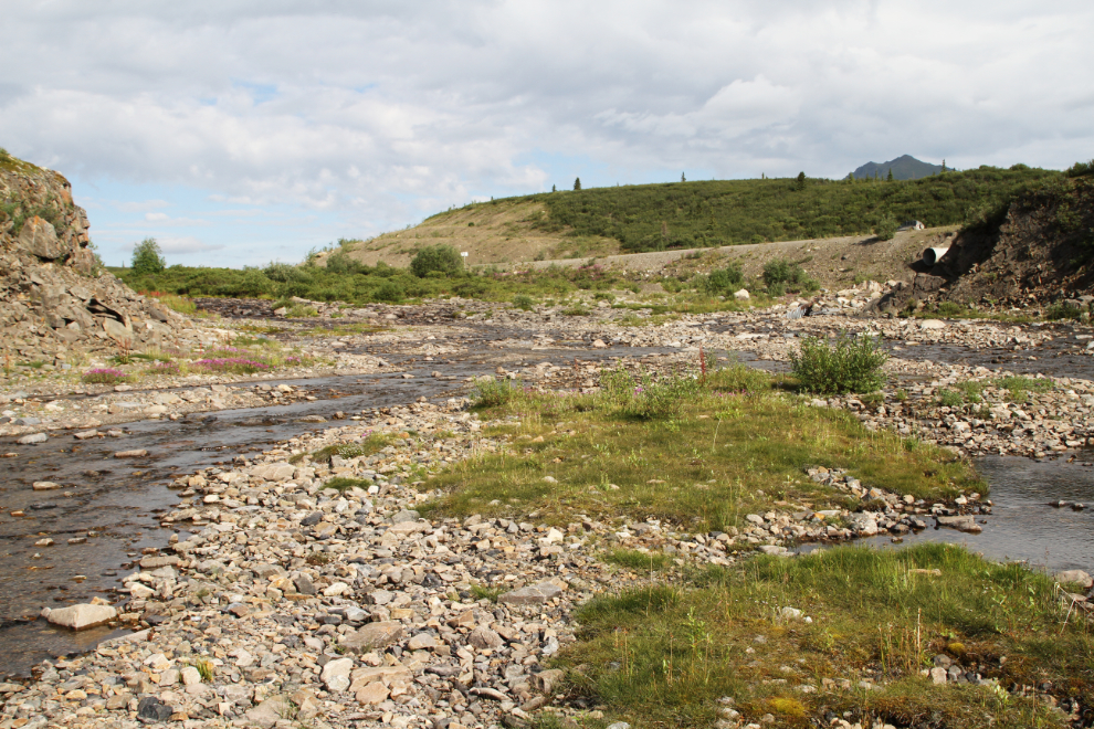
The view down Lil Creek from the highway.
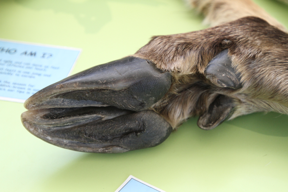
All along the edge of the highway at the Lil Creek crossing were the distinctive tracks of caribou.
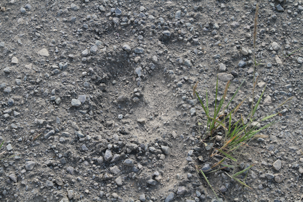
The next photo shows a caribou leg at the Tombstone Interpretive Centre. You can see the structure that makes the tracks so distinctive. The ankle also makes a distinctive “click” when the caribou walks.
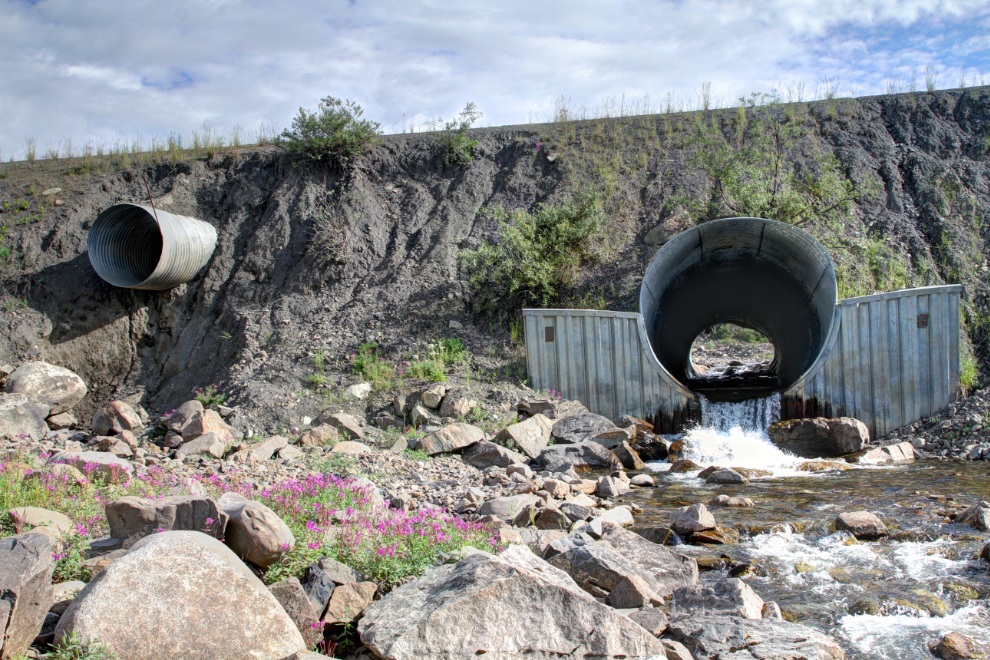
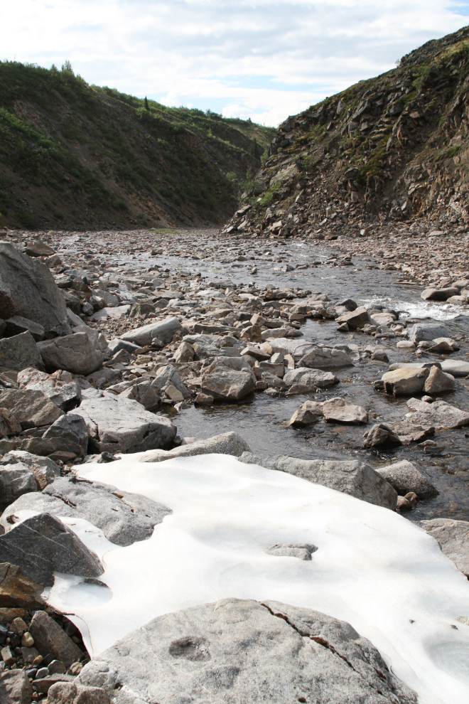
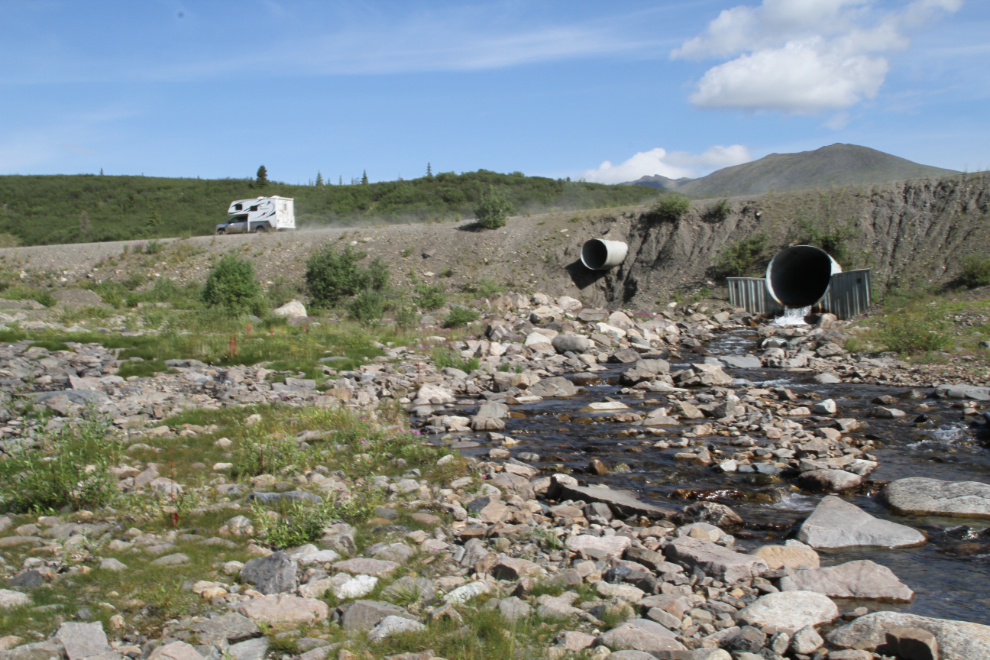
At 11:00, I was down on the creek bed. The large lower culvert handles the normal flow of Lil Creek, while the smaller, higher one takes the water flowing over the ice buildup each spring.
Just downstream from the highway, an unnamed creek about the same size as Lil Creek enters from the north.
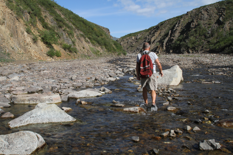
At the flow levels during my hike, the two creeks took quite a distance to fully join.
This was definitely a hike for water shoes – in this case Keen sport sandals. Crossing the many creek channels and even walking down them wasn’t optional.
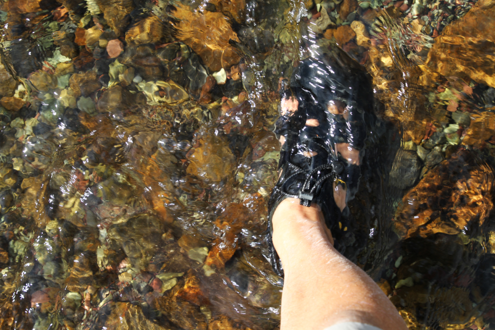
After finding that all of the usual ice on the North Klondike had melted, I had no expectation of finding any on Lil Creek, but soon encountered a few small accumulations of it.
I thought that encountering caribou and grizzly were fairly strong possibilities in the canyon, and a can of bear spray was in a pocket right at my right hand.
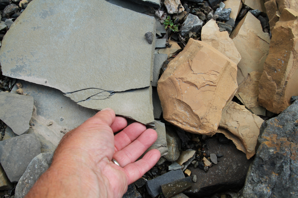
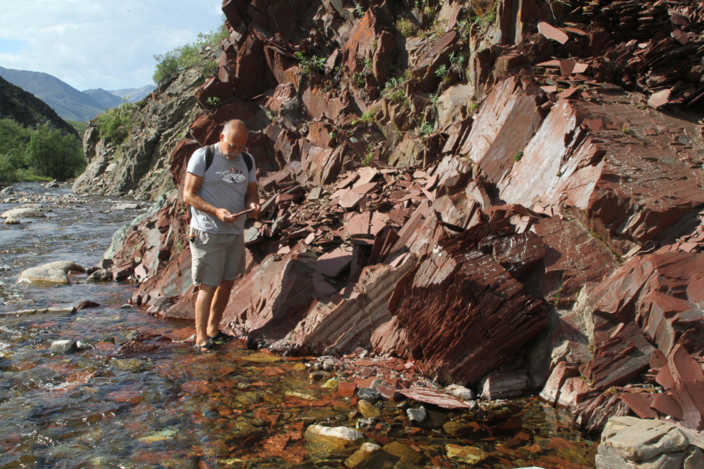
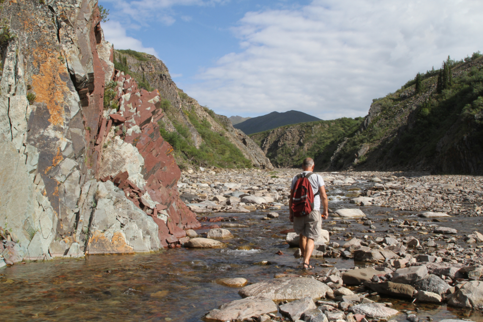
According to the Yukon Bedrock Geology map, this section of Lil Creek cuts through the Road River group which is comprised of black shale and chert, dolomitic siltstone, calcareous shale, and buff platy limestone. It formed during the Ordovician period about 488 million years ago, when this area was covered by a warm, shallow sea.
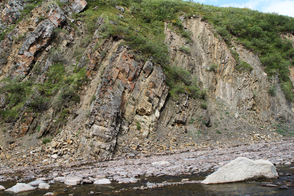
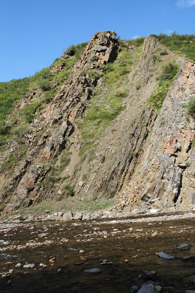
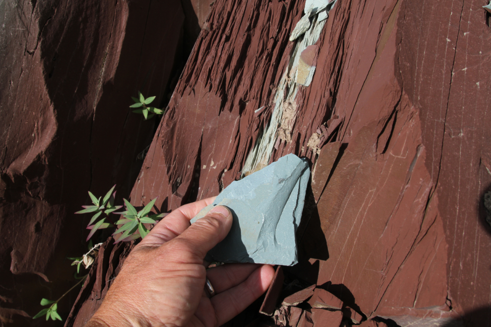
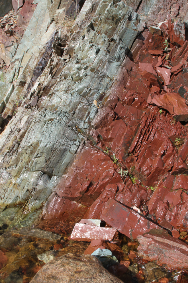
The canyon gets particularly interesting when you reach two faults and intrusions of the older Narchilla formation, comprised of interbedded maroon and apple-green slate, siltstone, sandstone. This formation formed during the Ediacaran period about 550 million years ago.
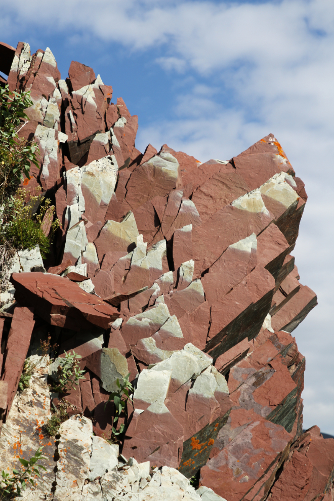
The colours in the rocks of the second Narchilla-formation intrusion are even more dramatic and richer.
Now that I’m home and can do some research, I really want to hike the canyon with a geologist. While I can get the basics, there are no doubt some fascinating stories in those layers.
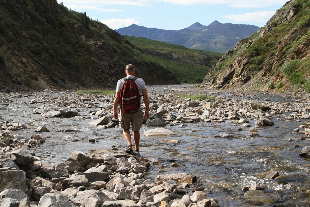
Just thirty minutes from when I first got my feet wet with Lil Creek water, I had almost reached the point where I had decided before starting that I would stop.
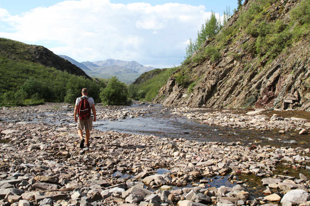
Once thick vegetation reduced the sight-lines to a few meters, it was time to focus on the area upstream for the short time I had available. The view beyond was intriguing, though – next time! 🙂
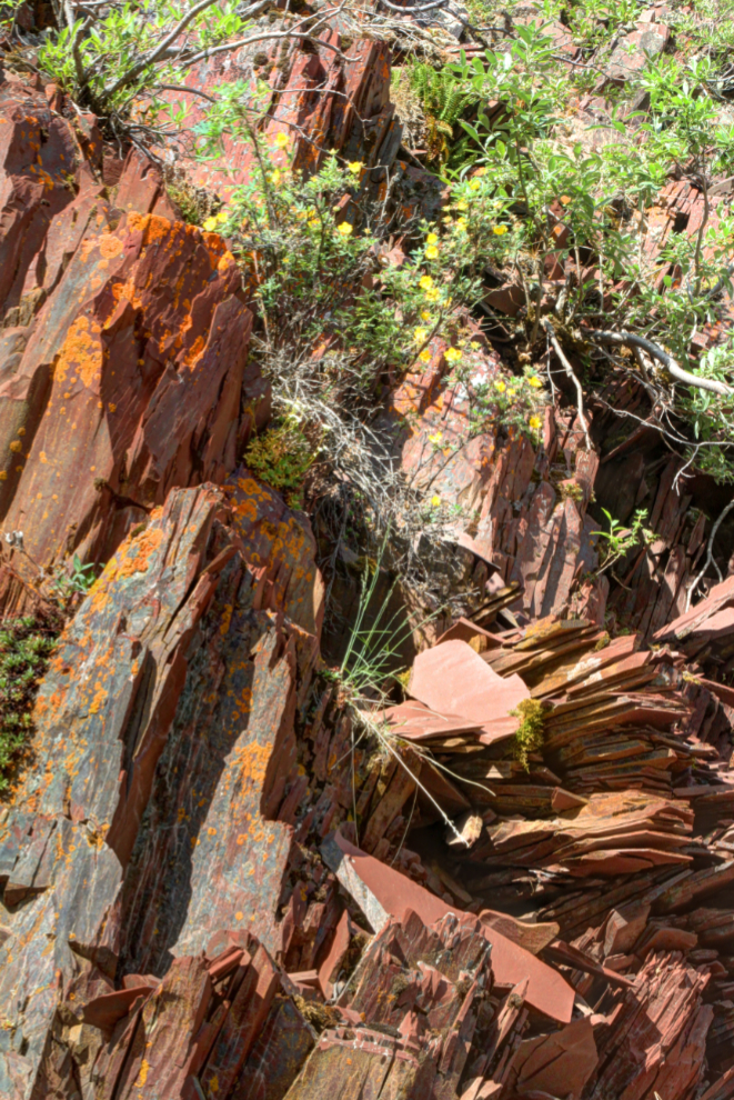
The maroon sandstone here had a great deal of variety. Some layers were cardboard-thin, and the entire layer had grey sandstone intruding in many places.
It amazes me that some plants can gain a foothold in places like this, with no perceptible soil and an extremely harsh climate.
The next photo shows a broader view of the grey and maroon sandstone together.
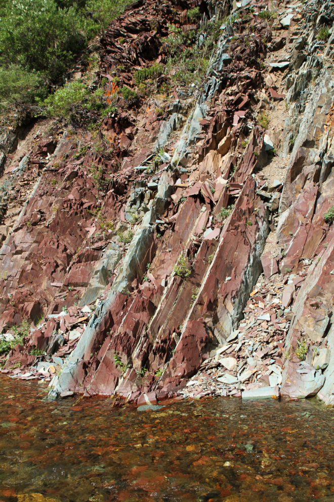
A closer look.
And there’s some lovely design work by Mother Nature.
At 11:40, I began walking back up the creek.
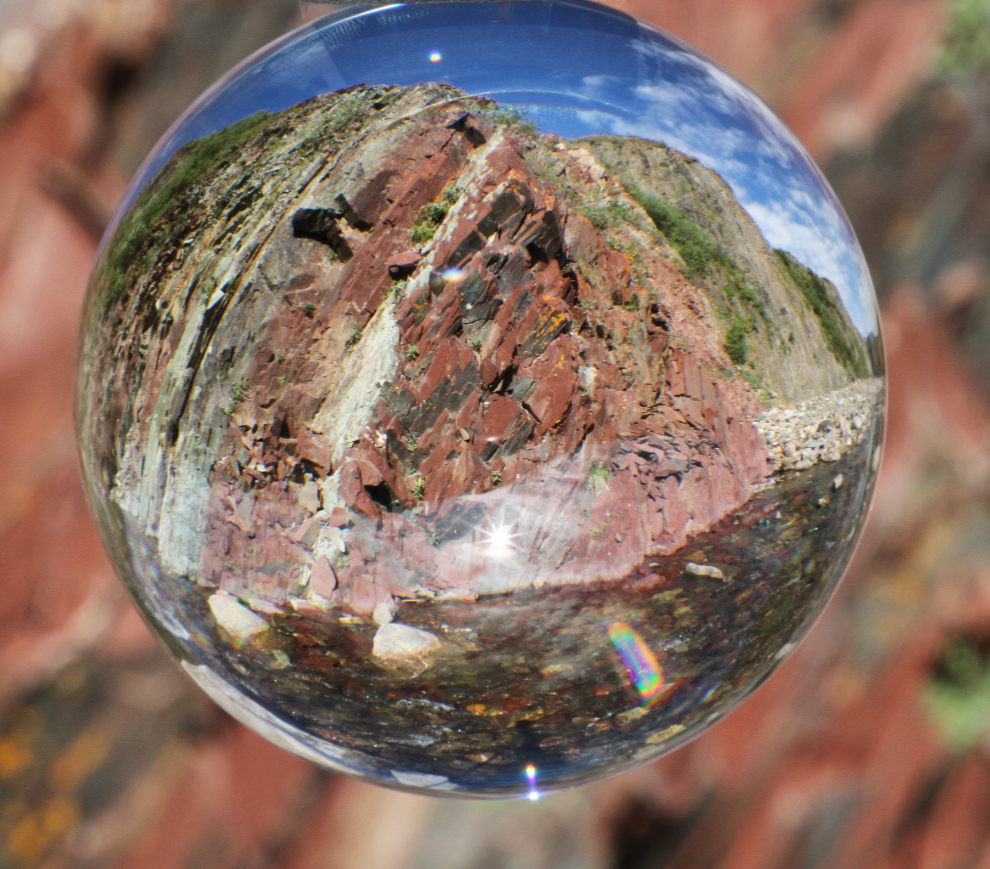
I got distracted by more photo ops, though. Here’s the maroon sandstone part of the wall of Lil Creek Canyon, as seen with a Lensball.
I wondered what this would look like on a wet day, so splashed some water on the sandstone. A day with light rain might have some pretty amazing photographic possibilities.
There are some large granite boulders that don’t fit into the geology narrative that I have so far, which is entirely sedimentary.
Almost back to the car, at 12:10. That hour and 10 minutes had proved to be even more interesting than I had expected. I wonder how many other people think about what this creek is like as they drive by…
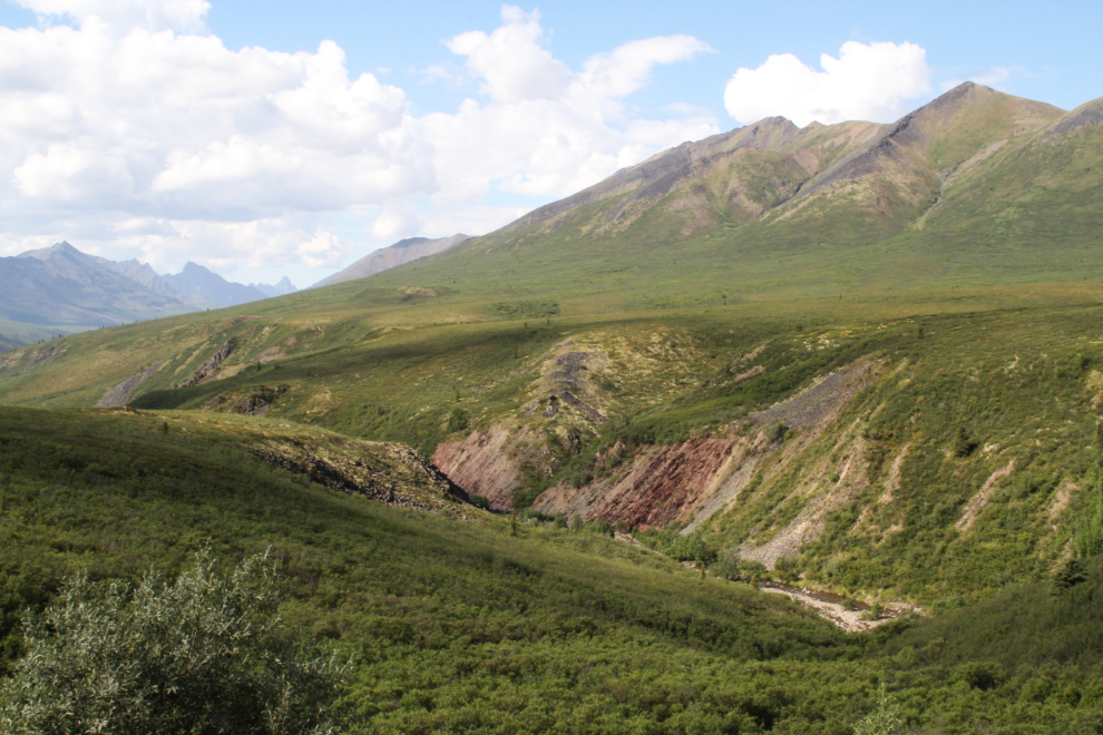
Back on the highway, this view into Lil Creek made more sense to me. Below the area of vegetation where I stopped, there another colourful intrusion that will make a longer hike worthwhile, perhaps next year during my drive to Tuktoyaktuk.
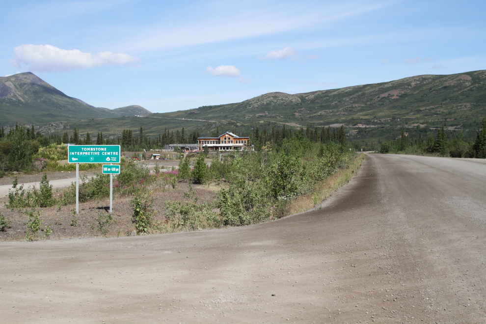
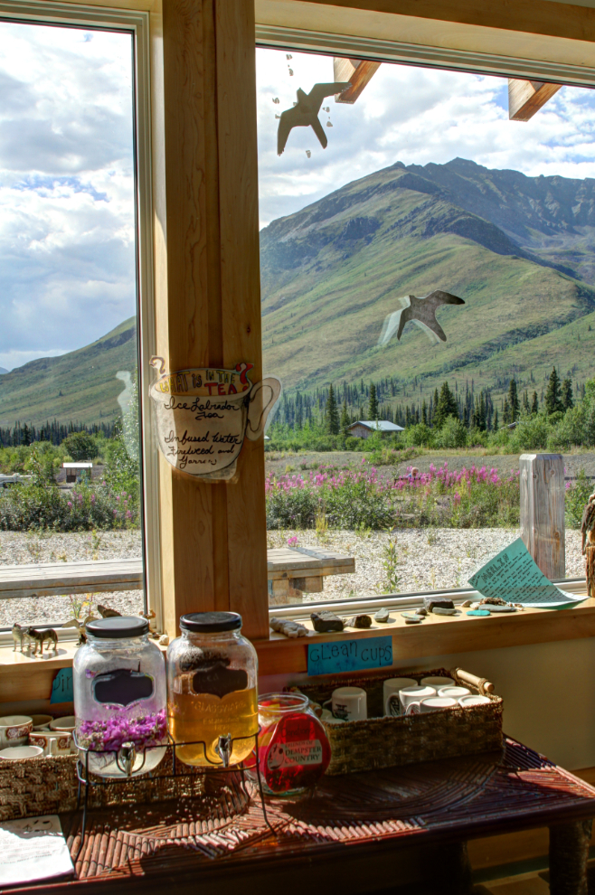
I had just enough time left for a quick look at the Tombstone Interpretive Centre, to see if there was anything new. There wasn’t, but I re-read many of the panels.
The Friends of Dempster Country had set up a “lemonade stand” in the interpretive centre. One was iced Labrador tea, and the other was infused water with fireweed and yarrow. I hadn’t brought any money with me, so can’t tell you what either tasted like.
Back at the campground, it was a little after 2:00 pm by the time we had lunch and got ready to go. That got us to the Dawson airport in good time for Cathy’s Air North flight back to Whitehorse. Unfortunately her plane was again delayed (for an hour this time, they said), but it was too hot to wait and I wanted to get to Moose Creek Lodge for dinner, so I headed south at 4:20.