More exploring around Paddy Peak
Following my discovery of a spectacular road-accessible area above Tutshi Lake on Tuesday, I returned on Wednesday without my husky, Monty, so I could explore higher, more rugged valleys and ridges.
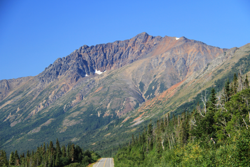
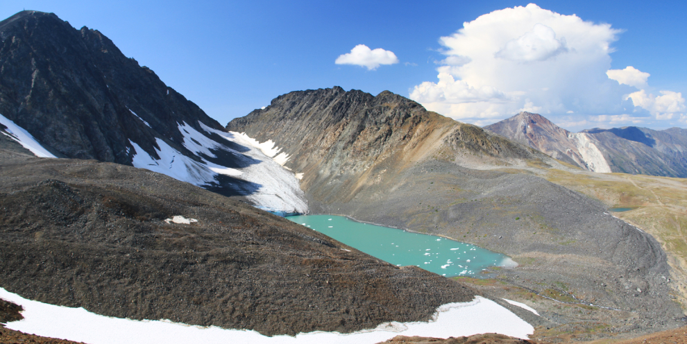
Although my primary target of interest was a high non-glacial lake to the southeast of the glacial one that captivated me the previous day, there were other possibilities as well. One was the small cirque on this unnamed 6800-foot peak (where the large snow patch is). It’s fascinated me for many years, and I took this photo so I’d have the image handy in case it might help me find a route, as I’d be right on the opposite side of the mountain.
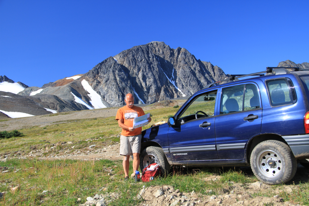
At the 7.0 km point on what a recent geologic report calls the Bennett Plateau 4×4 road, I parked the Tracker, checked the topo again, and headed south towards the lake on the very steep mining road that had given me a flat tire the day before. The starting elevation was 1,472 meters (4,829 feet). I do travel alone, but carry a tripod so I can get shots like this.
The road quickly drops 42 meters (138 feet) to a creek crossing, which was too deep and rough for the truck, but I went upstream from the road a few feet and it was easy to walk across there.
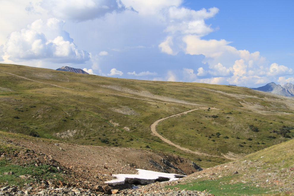
This road off to a mining exploration drill site was one of the possible routes for later. As well as the mining interest, it’s also the most likely source of a route to the cirque on the opposite side of the mountain.
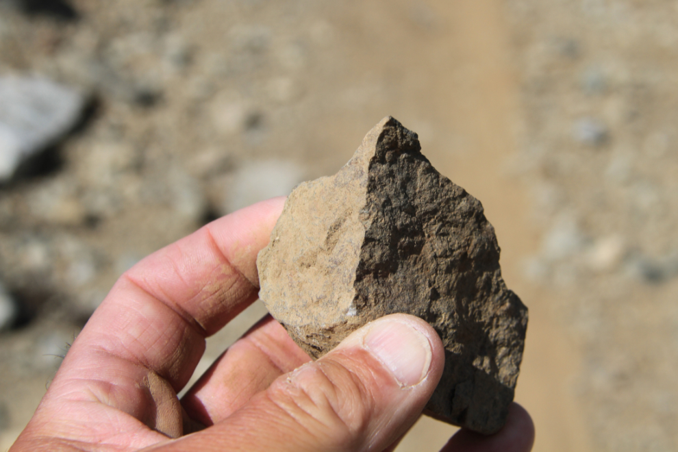
A 2007 report by Whitehorse geologist Scott Casselman gives a good background to what is seen in this specific area now: “This area has a long history of mineral exploration, dating back to the Klondike Gold Rush, when gold seekers came through the Bennett Lake valley on their way to the Klondike. Some old, undocumented adits on the Tannis Property may date back to this time. The majority of modern exploration in the area was conducted in the later part of the 1980’s and early to mid 1990’s when major companies such as Dupont, Noranda and Westmin conducted regional and property scale exploration in the district. This work identified base and precious metal mineralization in a variety of geological settings and deposit model types over large area measuring at least 14 by 18 km. The mineralization occurs as skarn-type mineralization in Devonian to Triassic meta-volcanic rocks bordering Cretaceous intrusions; as gold-bearing arsenopyrite-quartz veins in rhyolitic intrusions and adjacent host rocks; as disseminated copper- gold mineralization in Cretaceous intrusions; and as feeder zone mineralization in a possible volcanogenic massive sulphide setting.” The geology, and the exploration history of the area, though, is extremely complex – if detailed mining reports interest you, this excellent one can be read here.
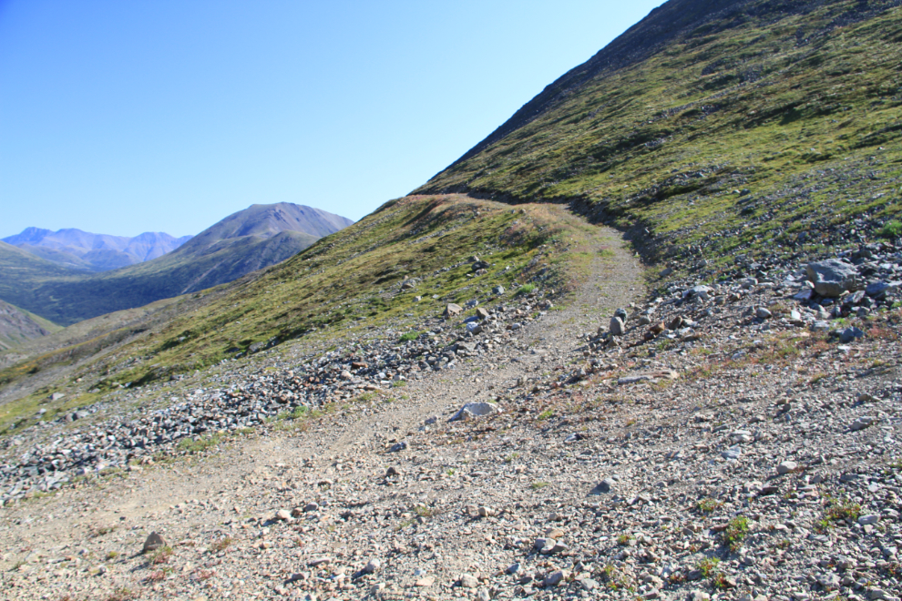
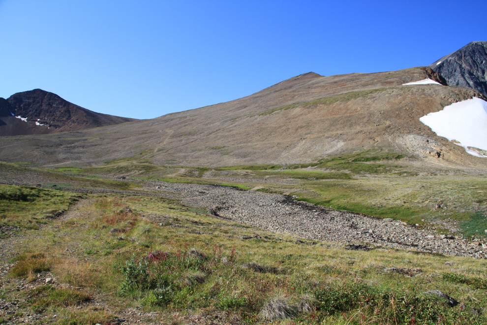
I followed the road up and up into increasingly barren country.
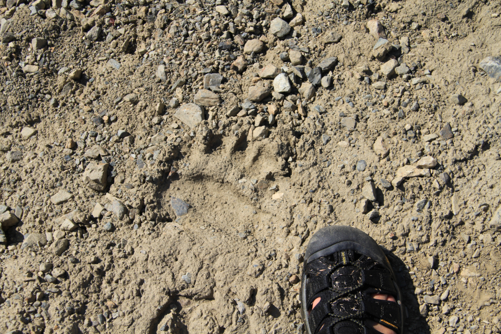
Oh poop, prints of a good-sized grizzly. Not fresh, but perhaps only a couple of weeks old. That got the ole spidey-senses tingling!
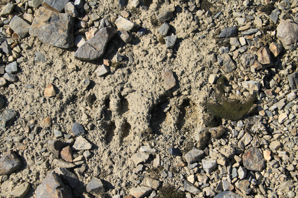
Close to the grizzly prints, the prints of a caribou and calf from about the same time period – a likely reason that the grizzly was here. There’s little vegetation, so the most likely things that will bring a grizzly up here are Arctic ground squirrels (often a grizzly’s primary diet, but there are easier places to find them nearby), and the young of caribou and Dall sheep.
I left the road and hiked across barren rocky ground towards the highest point on the creek that drains the lake I was aiming for. Just before reaching the lake, though, there was a rocky ridge (a glacial moraine) that reduced my line of sight to only a few hundred feet. With the possibility of a grizzly being there, perhaps even with a kill, I pulled a can of bear spray out of its pocket on my pack.
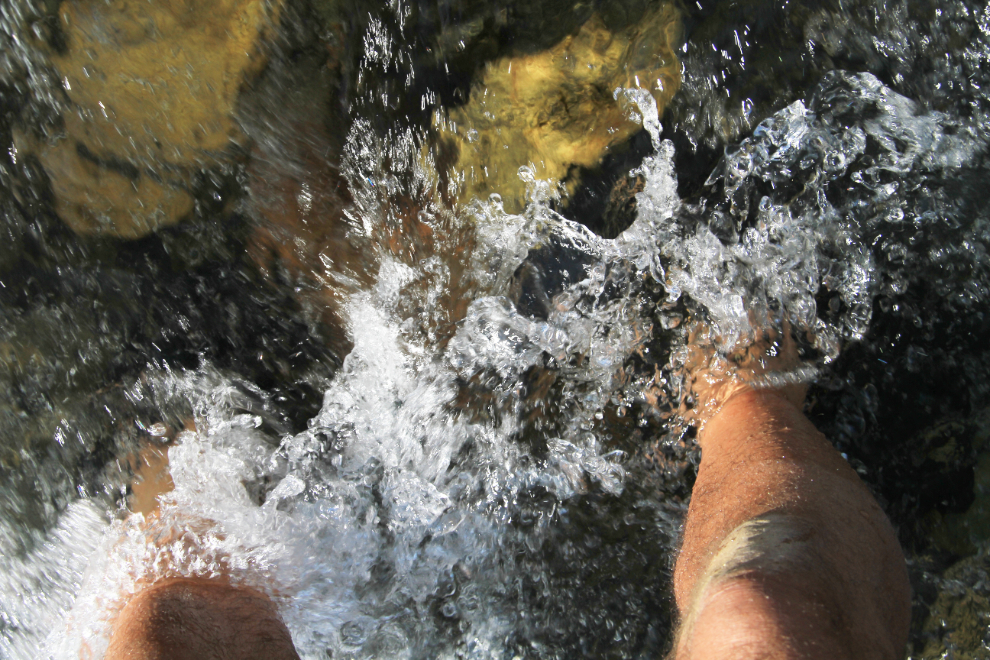
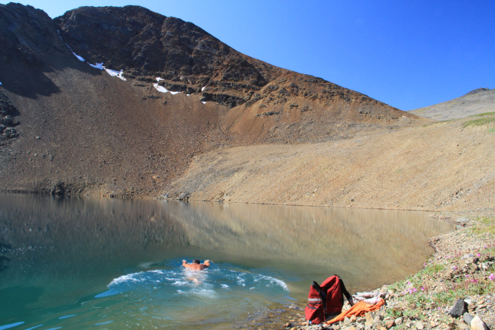
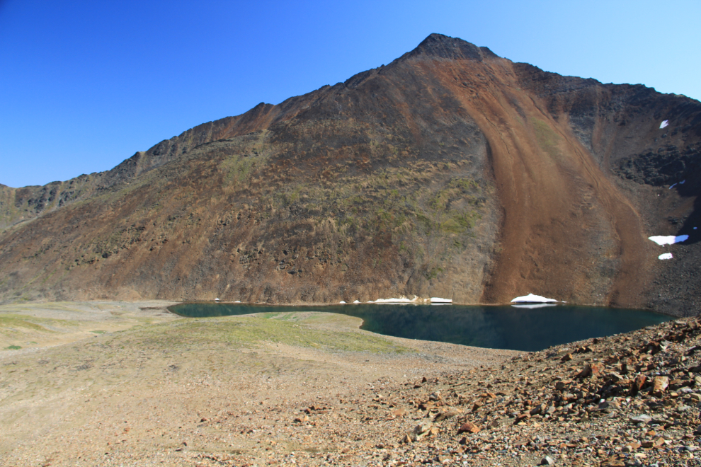
The lake, though, was grizzly-free and as perfect as I’d hoped it would be. It had taken me exactly an hour to reach it from the truck – the altitude here is 1,556 meters, or 5,105 feet. On a small sandy beach near the creek outlet were the old prints of a barefoot person and a small dog – I liked the feeling that a kindred spirit had been up here in recent weeks. I spent quite a while at the lake, mostly just sitting on the shore enjoying the warm sun, the dramatic peaks, the pure water and the absolute silence. While the water was very deep and so too cold to stay in for very long, I went for a couple of short swims. The lake, like everything else around here, has no name.
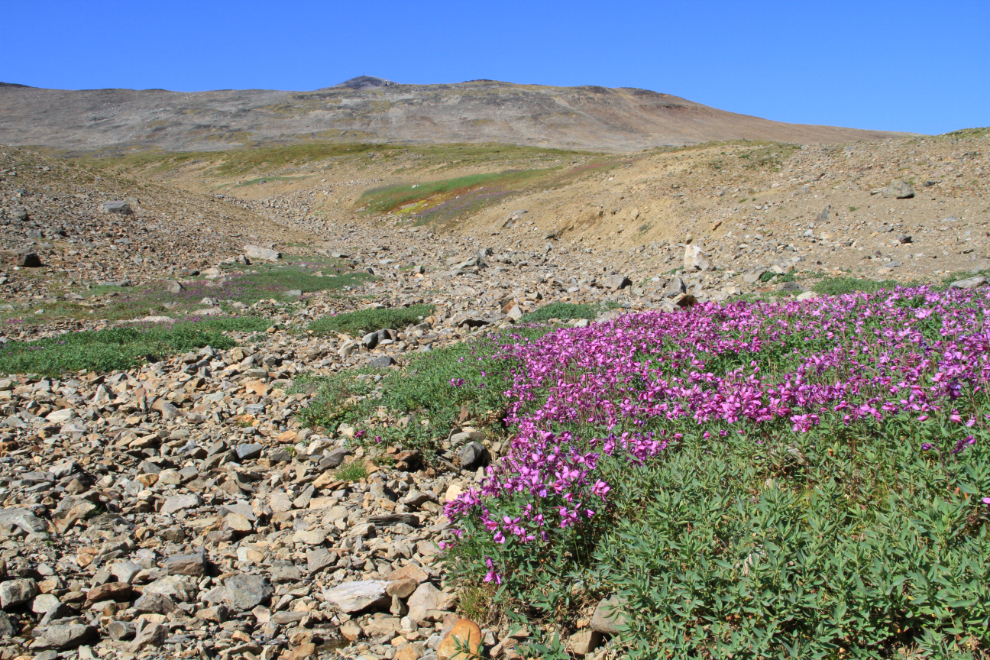
On the map, it appeared that a route to the summit of what some locals call Paddy Peak might be possible, and the would in any case offer some great views, so I started up the steep talus slope on the left side of this snow-melt creek. This patch of dwarf fireweed was full of bees darting from blossom to blossom.
Looking back down at the lake. This sort of country deeply thrills me.
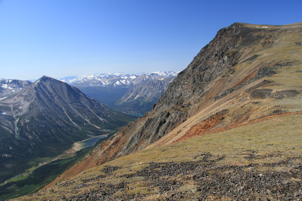
Although there was a lot of “up” still ahead, this lovely saddle at 1,777 meters (5,830 feet) offered views that were even better than I’d hoped for. The vegetation here was being very well fertilized by an apparently healthy population of Dall sheep (though I didn’t see any). That’s Paddy Pass below, Lake Bennett in the distance.
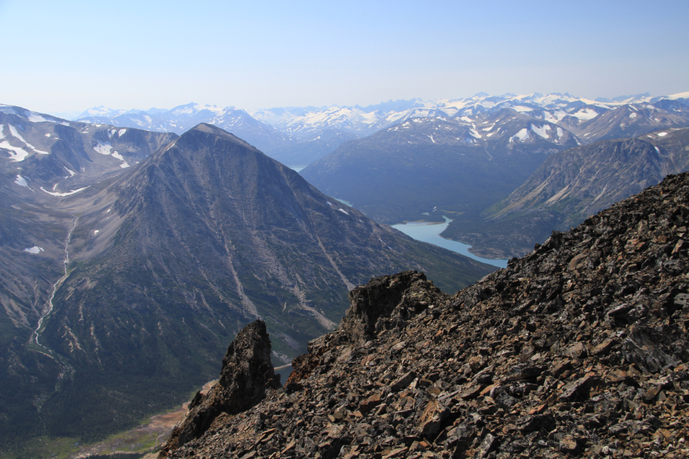
At 2:10, I came to a dead-end, with no way around the cliffs and a steeply-sloping glacier. The view to the southwest, though, including the Bennett townsite at the head of the lake, was superb.
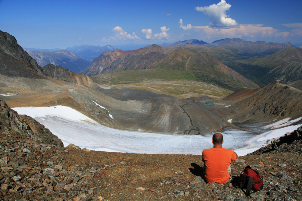
At 62 years old, summits aren’t as important to me as they once were, and I wasn’t upset about not being able to continue. I made it to 1,968 meters (6,457 feet), and was deeply happy to just be able to sit and enjoy this amazing view to the north. My life was perfect 🙂
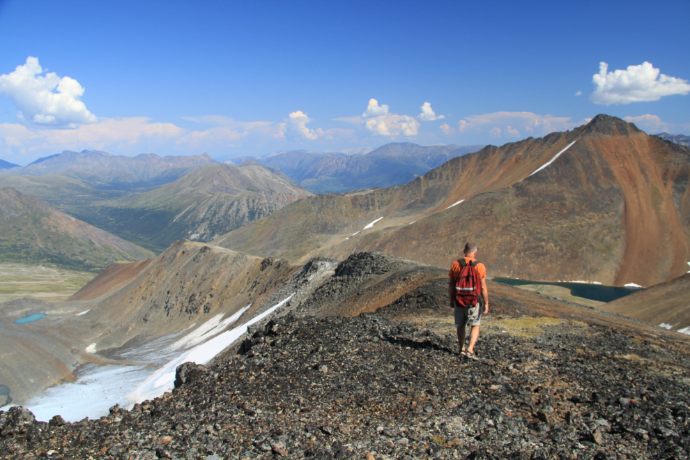
The ridge to the east of the glacier offered a wonderful route down, with well-trodden sheep trail along it.
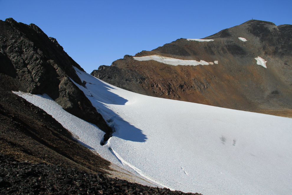
A look back at the reason I couldn’t continue to the summit. This is definitely not what the map shows! Only with a group of people and a lot of gear would I set foot on that glacier.
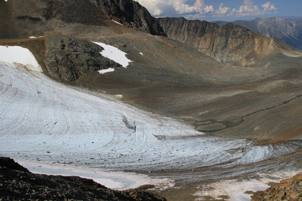
At first glance it appears that the glacier ends in a gravel field, but I could hear a river thundering under the ice and the gravel, so under that gravel, the glacier continues right to the lake Monty and I were at the day before.
Two photos stitched together give you a better idea of the view as I descended.
Down and down, with the view of the glacial lake getting better and better. For a while it looked like the thunderstorms up Whitehorse way might be coming south, but they never did threaten me.

At 3:40 I was getting close to the truck, which is at the “V” of the roads.
Climbing back up the road to the truck, I noticed that there are a lot of rocks like this on it – no wonder one of them went through the side of my tire the day before (yes, tearing it beyond repair).
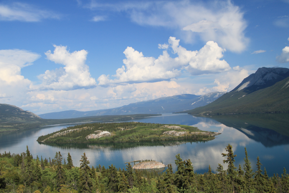
By 4:30 I was back on the South Klondike Highway headed home, stopping briefly to get a shot of Bove Island as I went by
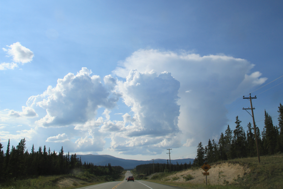
At 5:30, huge thunderstorms were still over Whitehorse, and I saw some great lightning flashes as I drove.
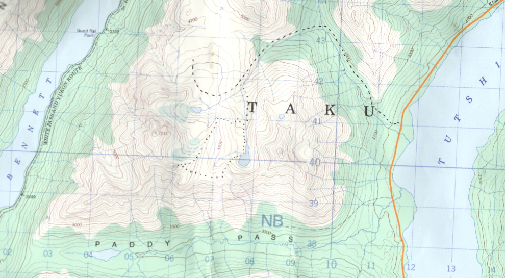
Here’s the topo I used, with the road added as a dashed line, my hiking route as a dotted line.
That was the last hot day of this summer. Temperatures have suddenly dropped from high 20s to high teens, and there are lots of clouds and showers in the forecast. But what a way to end it that was 🙂