Paddy Peak – by 4×4 to an unnamed glacier with Monty
On Tuesday, yet another spectacular hot day, Monty and I headed back into the high country, this time to a spot I’d not yet made it into. An old mining road leads into the mountains between Tutshi Lake and Lake Bennett, but it’s buried in snow for all but a few weeks each year.
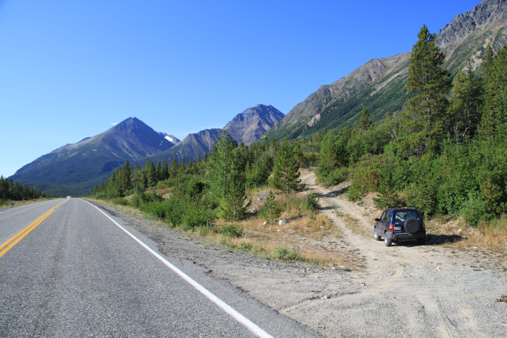
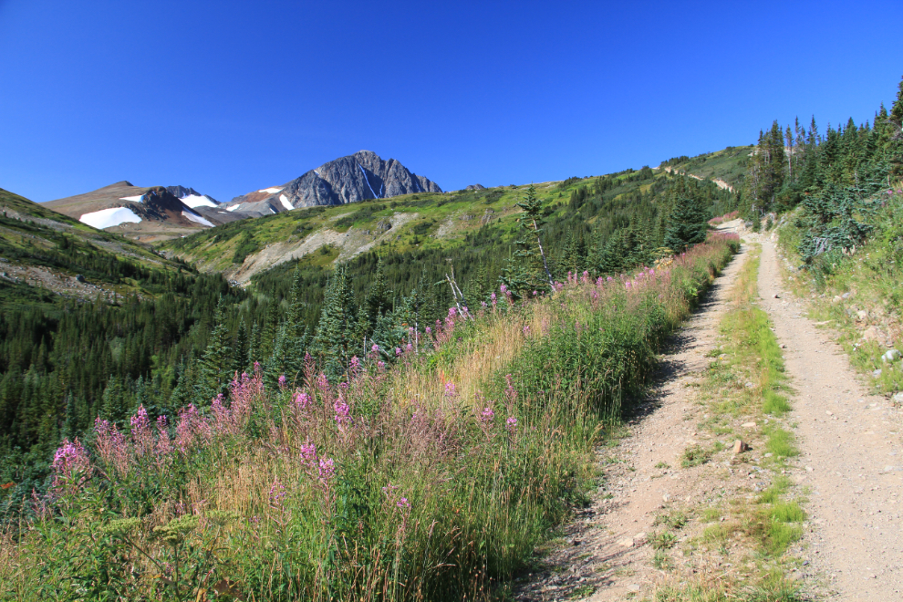
The road takes off to the west from Km 66.9 on the South Klondike Highway. The elevation here is 735 meters (2,411 feet). This is a road that requires a high-clearance 4×4 that you don’t mind getting scuffed a bit by alder and willow encroaching on the road – our tough-as-nails 2001 Tracker fits the bill perfectly.
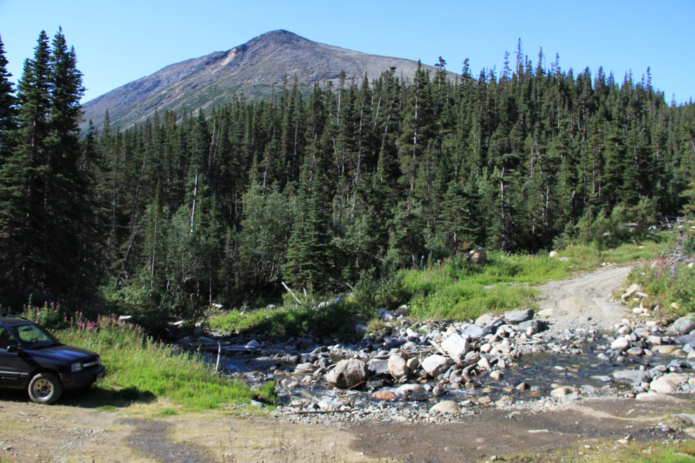
3.7 km up the road is a creek crossing at 1,072 meters (3,517 feet).
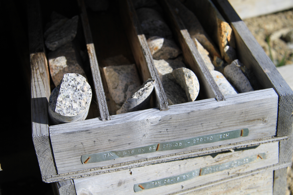
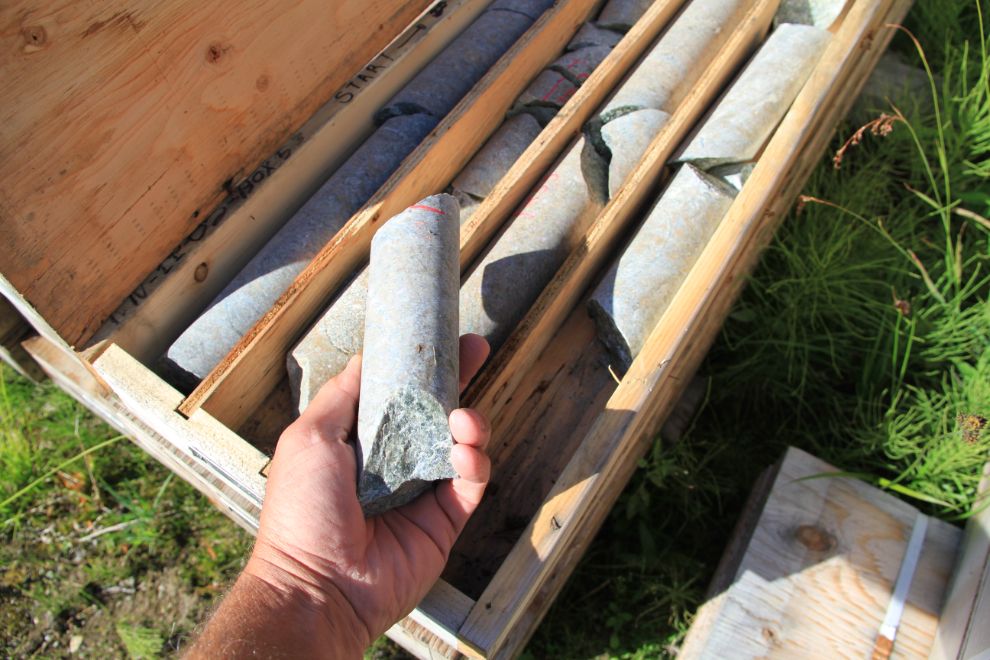
At the 4.0 km point (1,126 meter, 3,694 foot elevation) there are dozens of boxes of drill cores, and off in the bush, the remains of what seems to have been a wall-tent camp. This is of recent vintage – it was perhaps 10 years ago that I saw the mining vehicles going up the road for about 3 summers.
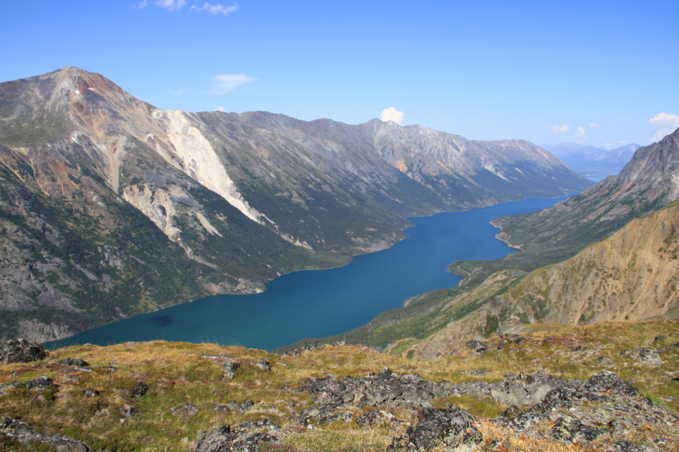
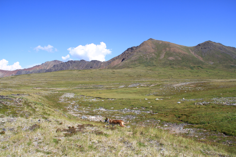
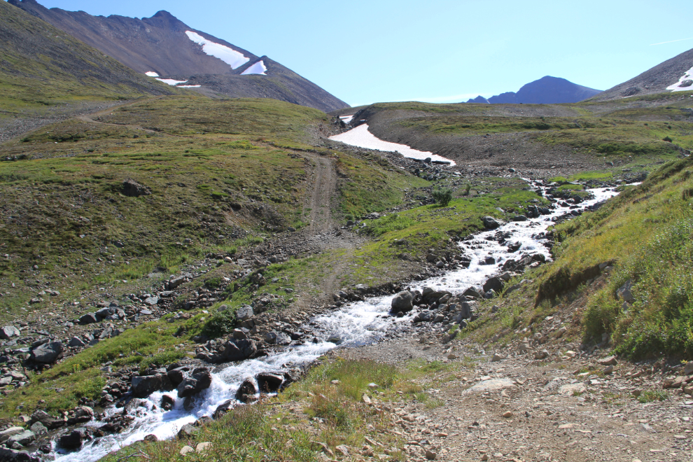
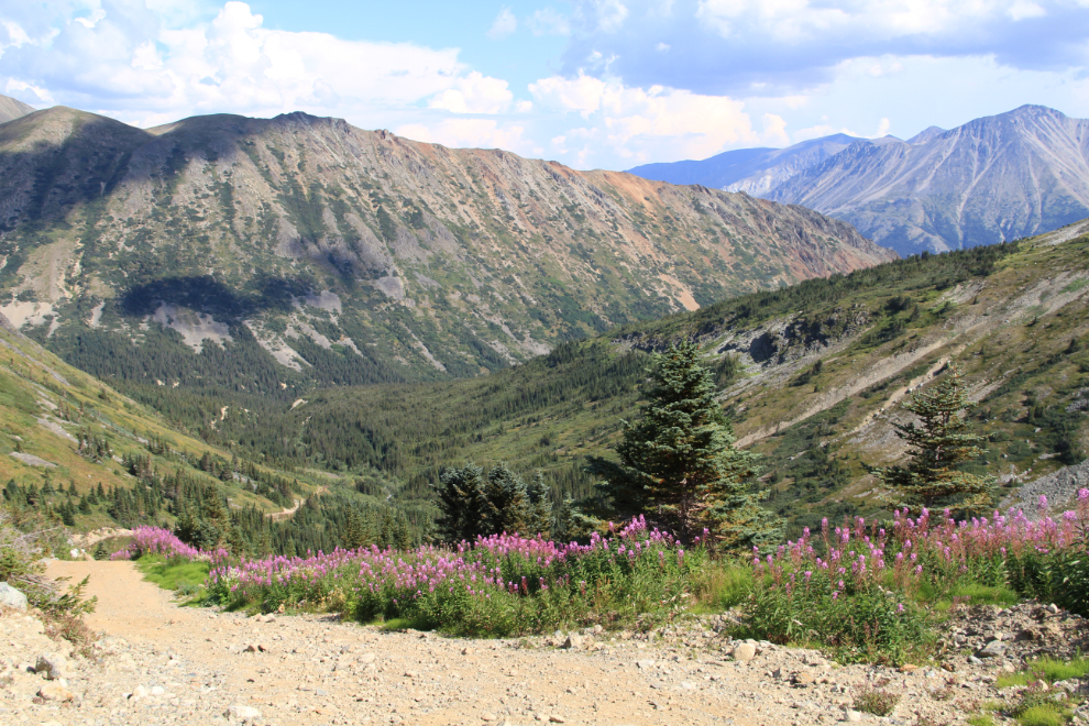
Enticing views ahead as we neared treeline.
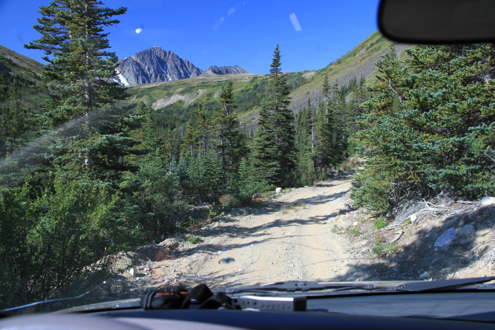
This was shot at km 5.2 – just before this point, the road is so steep that low range is not a bad idea, and just ahead it’s mandatory.
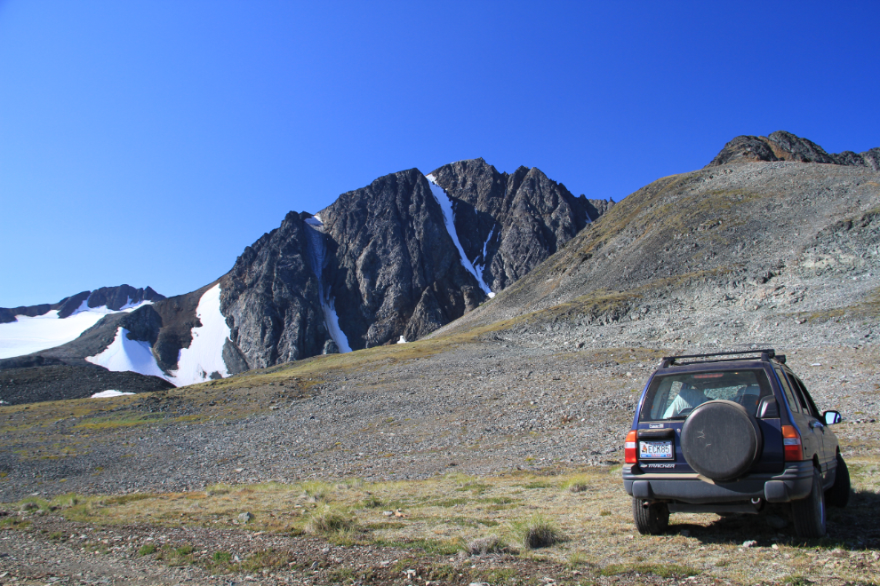
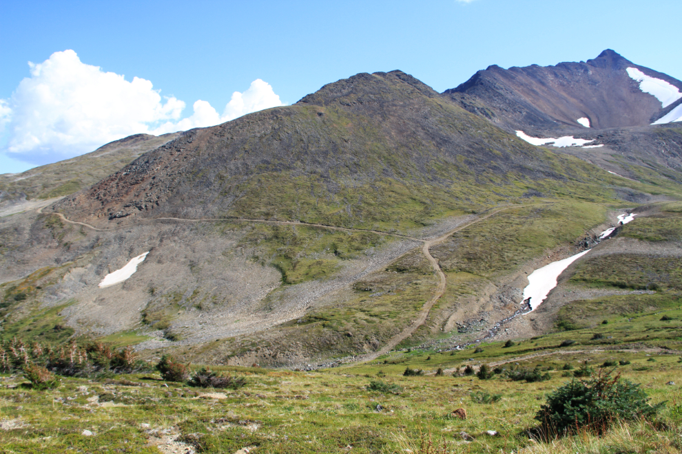
Topographic maps can be used as a general guideline of what might be around, and I parked at this point because there might be a lake at the foot of that peak. The peak has no name officially, but it’s getting to be known locally as Paddy Peak, simply because it’s the next peak north of Paddy Pass. There’s a radio repeater on the summit, though, and the Yukon Amateur Radio Association calls the location Mount Panacea.
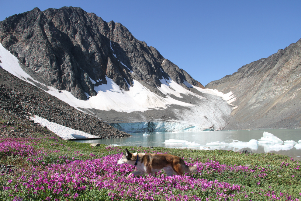
Oh yeah, there’s a lake all right!!
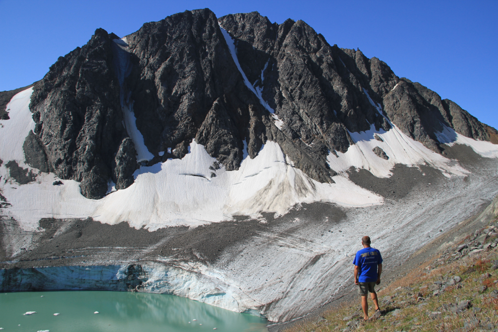
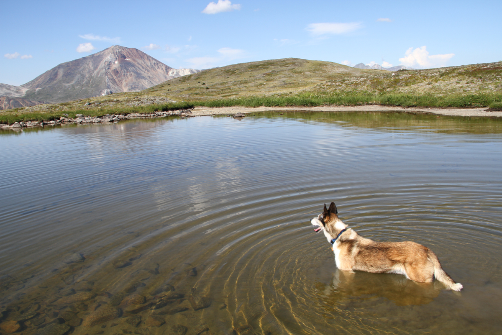
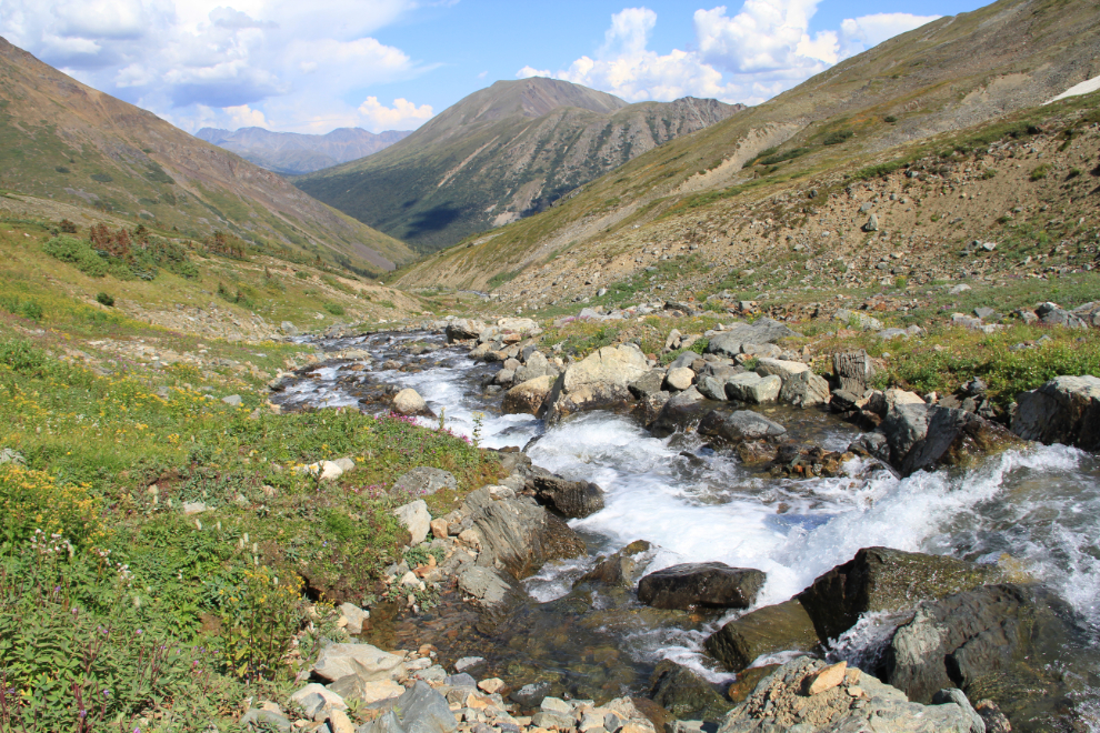
After our Montana Mountain outing a few days ago, I promised Monty that I’d try to keep him off the boulder routes that are so tough for him. I tried, but one of those ugly-for-dogs routes was required to get us to the lake’s spectacular outlet, and he was a trooper as always.
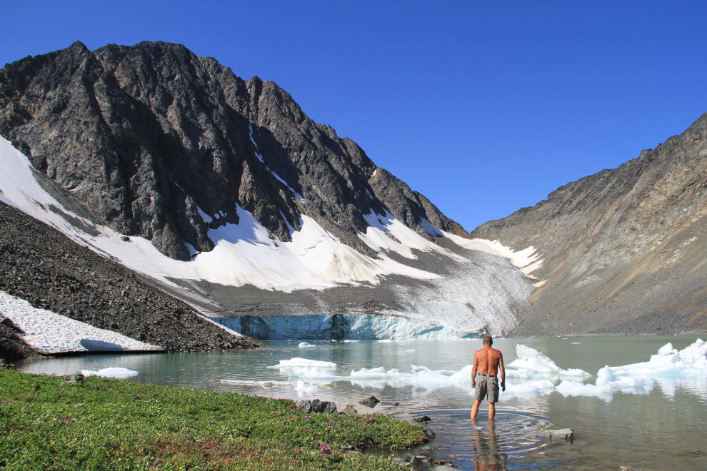
Nope, I didn’t go swimming in this one – thigh-deep was as far as I got! 🙂
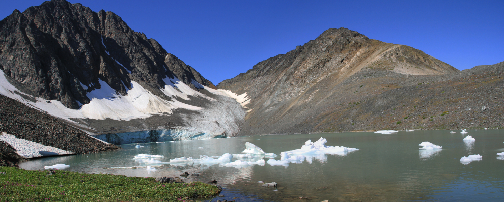
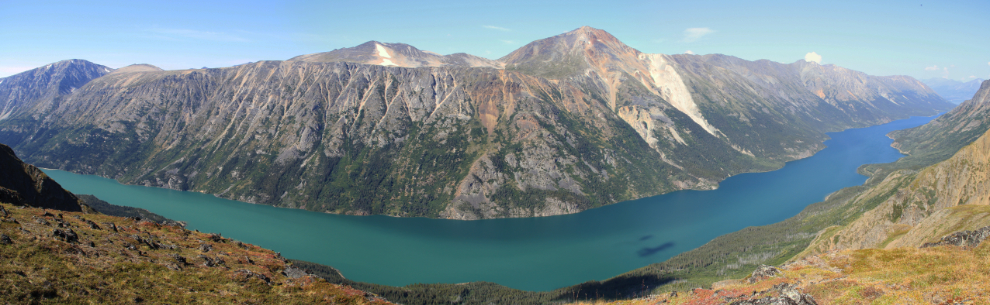
Even my 18mm lens isn’t wide enough for this country – this is 2 photos stitched together to show the entire scene.
Back at the truck, we continued on the mining exploration road for about another kilometer, then went walking in the sort of country that Monty loves – rolling, lots of plants – and Arctic ground squirrels! He was great about breaking off the hunts when I called him – he’s allowed to hunt mice around our home, but that’s it.
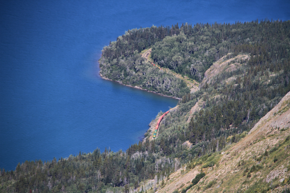
This huge plain, a few hundred acres, ends at a drop to Lake Bennett, just north of what the WP&YR railway people call Guard Rail Point.
The Carcross-Bennett train went by as I was there – cool.
This panoramic photo was created by stitching 3 photos – the lake is actually straight here, but is curved by the panorama process.
One of the handful of mining camp sites in the area. They were quite well cleaned up, but I have to wonder why the cleanup job wasn’t quite finished.
The next target was some small lakes that I saw across the plain, which offers a wonderful study of glacial features such as eskers and outwash channels such as this one.
Monty definitely approved of the lake plan 🙂 Huskies aren’t water dogs (he’s never been actually swimming), but even he knows how to cool off on a day like this.
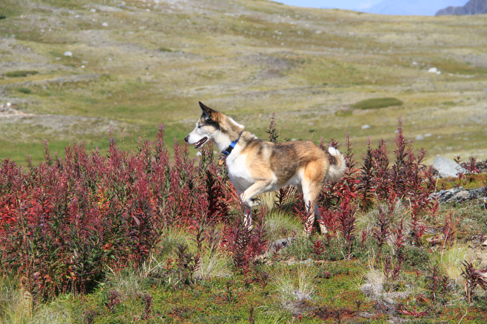
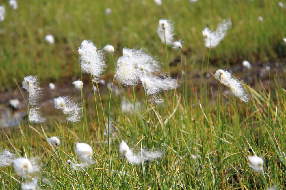
The central part of the plain is very wet, and provides perfect habitat for plants such as Arctic cotton grass, now long past prime. Very few flowers are still blooming, and Fall colours have started to appear.
By about 2:20, we had circumnavigated back to the truck, and began a wandering trip back down. Monty knew that the adventure wasn’t quite over yet, though! We stopped and he waded in another small lake near the glacier (whose bottom was too muddy for me to join him even knee-deep).
More roads to explore. Okay, maybe for just a few more minutes!
A very steep drop brought us to a creek crossing that was beyond the Tracker’s capabilities, and I didn’t see anything enticing enough to walk any more.
It was a lovely spot to spend a few minutes, though.
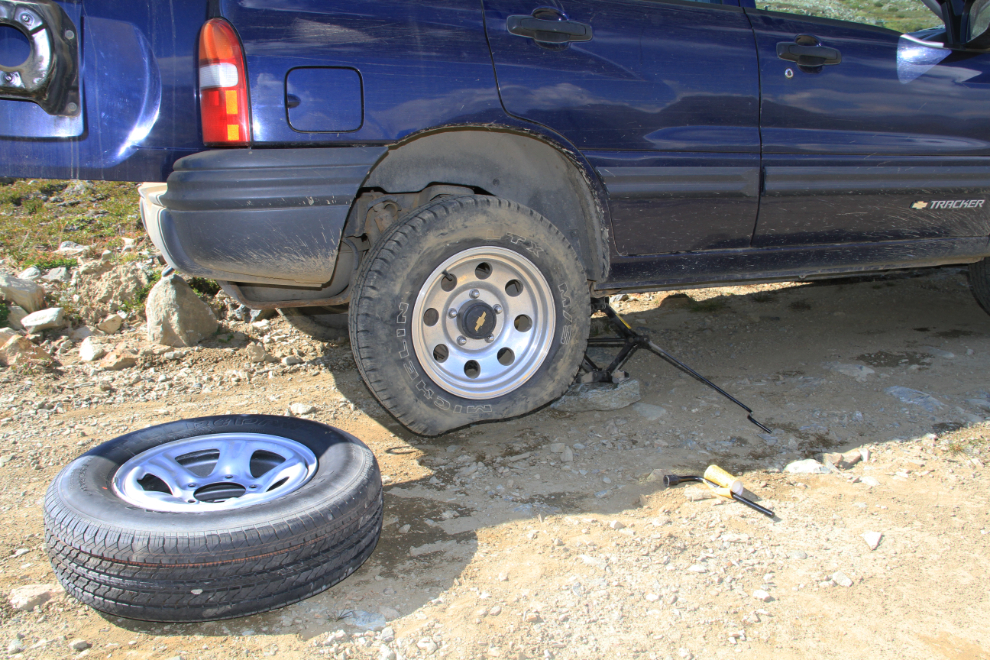
Climbing out from the creek, I developed a bit of an issue with traction!
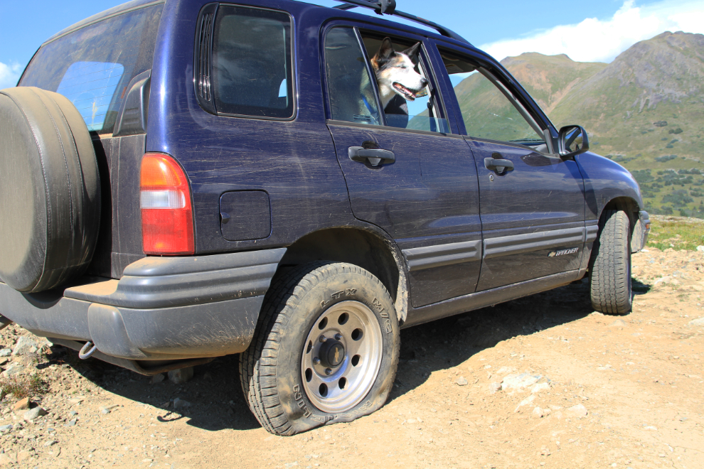
The hazards of playing rough in the back country. We’ve been lucky with this vehicle, though – that was the first time the spare tire had ever been off the back. My 4×4 pickup has had many offroad flats over the years.
The view down from the top of the steepest section of the road.
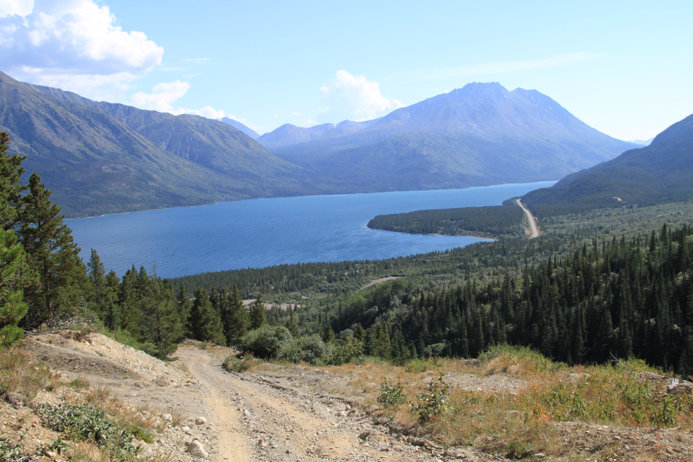
Just a kilometer from the highway, there’s an open section that offers a great view over Tutshi Lake.
When we got back to the highway, my trip odometer read 19.8 kilometers (that’s 12.3 miles). A pretty short trip for scenery like that!
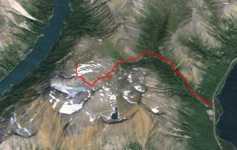
It didn’t take me long while going through photos and studying the topo map that night to decide to return the next day, without my fur-buddy so I could get into the even-higher country.