Hiking to the historic Vault silver mine
The Vault, deep in Pooley Canyon on the south side of Montana Mountain, is the toughest mine I’ve ever managed to get into, and I’ve been wanting to get back in for a very long time. Some Whitehorse friends want me to take them in (having tried unsuccessfully to find a route themselves), but our schedules never seem to mesh, so yesterday I headed up that way, with the Vault as a possible destination. Only “possible” because I well remember how difficult and dangerous it was.
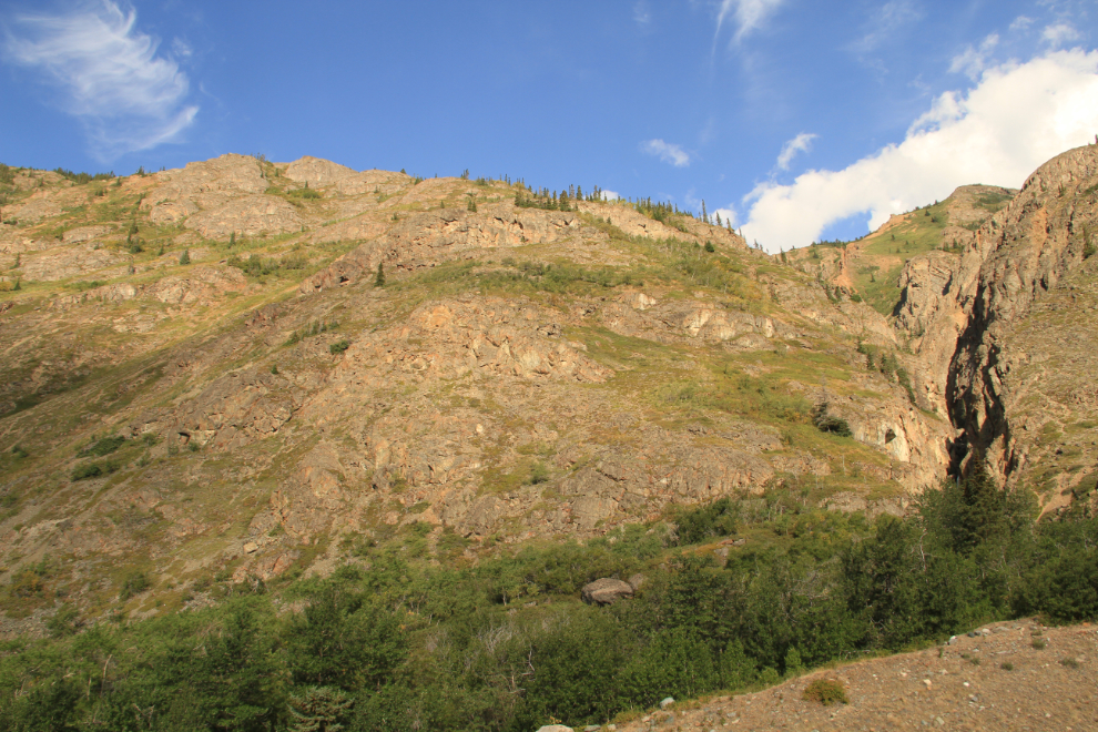
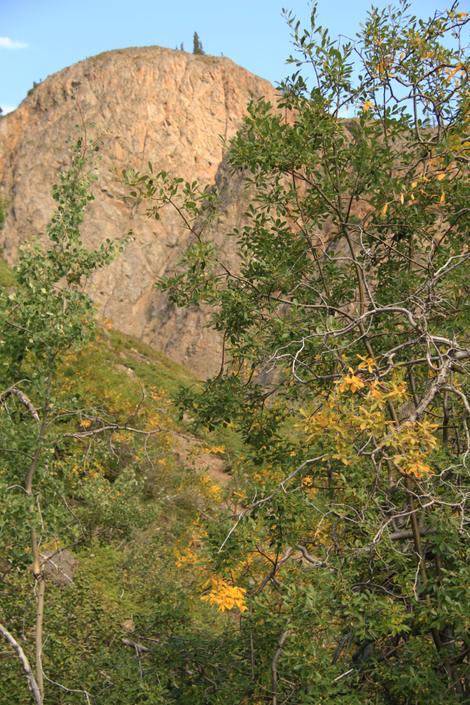
I got off to a rather late start, and got sidetracked by a series of waterfalls in Pooley Canyon. It would only take a little while to check them out. First I followed a well-used trail up the northeast side of the canyon to get this shot (at 10:18). That view was enticing enough to do the hard work 🙂
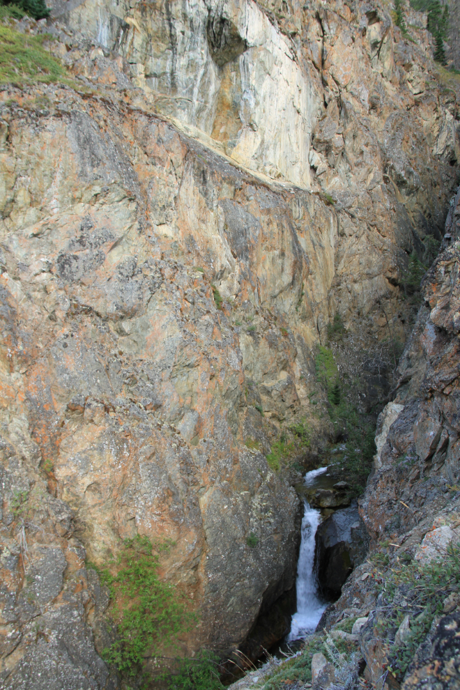
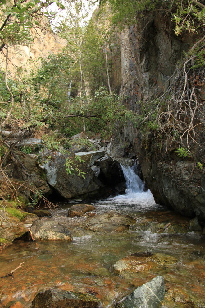
There, that’s better – at least a good start.
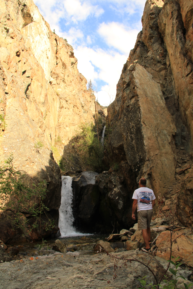
This was as far as I got. There was a possible route up to the next level through that very steep, very unstable slot to the right but I decided not to try it.
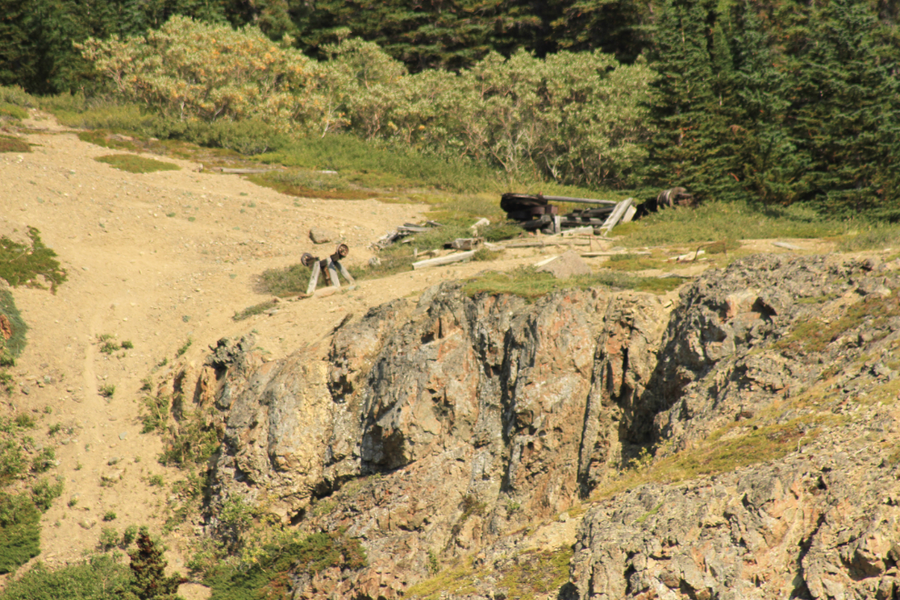
On the way out, I spotted a water supply station that I’d forgotten about, on the opposite side of the creek, so I went over for a look at its condition. A wooden flume perhaps 150 feet long led from the creek to this tank structure, which would supply water to the camp below during times of minimal creek flow. For 100 years old, it’s still in pretty decent condition, though the flume is pretty much all gone now.
By 10:45 I was back at the car, planning the initial route up the southwest (left) side of the canyon.
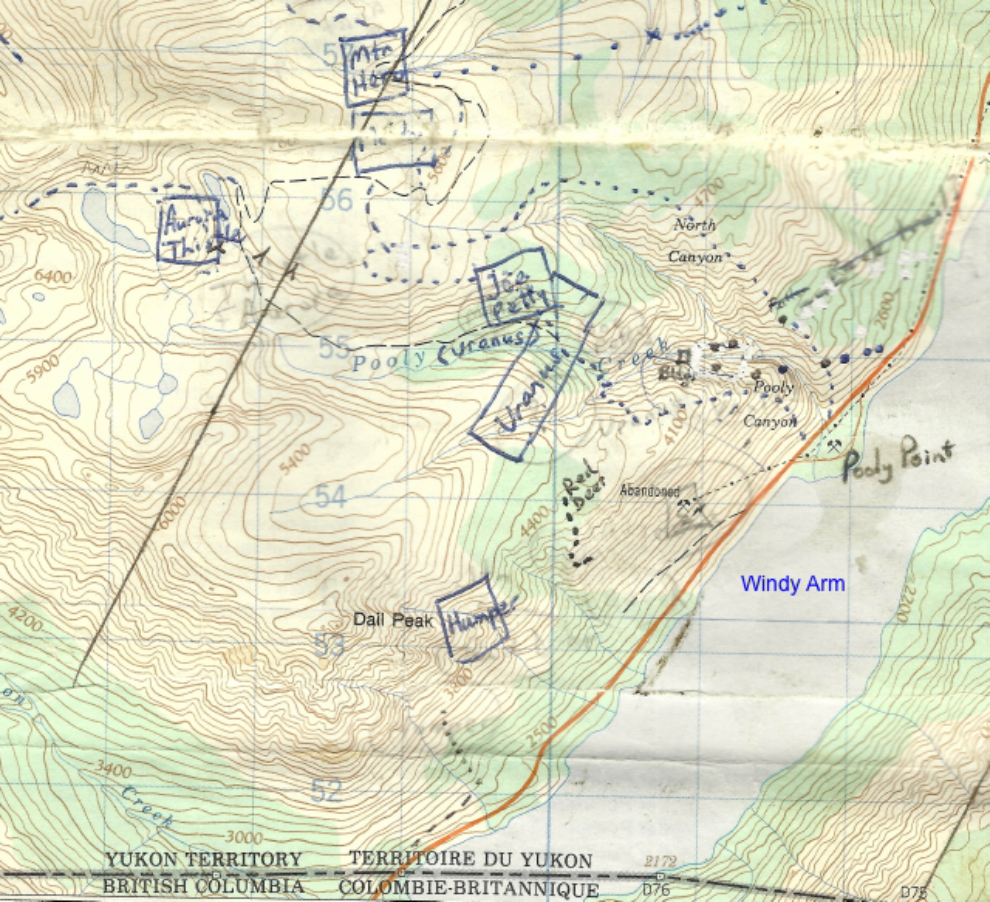
Even the 1:50,000 topo gives only the most basic of information about the mountain. This is the map I used for several years while doing my initial assessment of the mines in the 1990s, the dotted lines noting some of the routes I hiked, the larger dots being tramway towers.
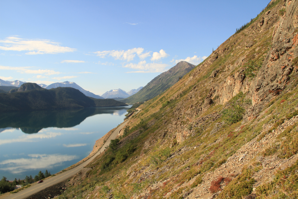
I moved the car to a better parking spot, and headed steeply up. By 11:20 the view was getting to be quite good 🙂
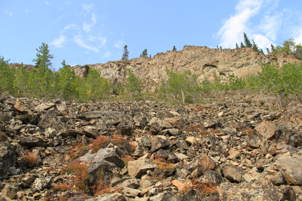
By 11:50 the route was becoming less obvious and more precarious.
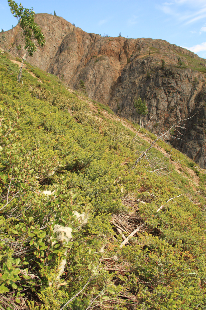
The first Fall colours – hmmmm…
The view up – which way to go?
From that point, following mountain goat trails seemed to offer the best options. The population must be doing very well – I certainly don’t remember their trails being so obvious when I was last here 18 years ago.
A well-used mountain goat bed overlooking Pooley Canyon. A couple of the towers for the main aerial tramway into the Vault can be seen on the opposite side.
At 12:50, the tramway towers were starting to line up – my target was at the point where they lined up exactly.
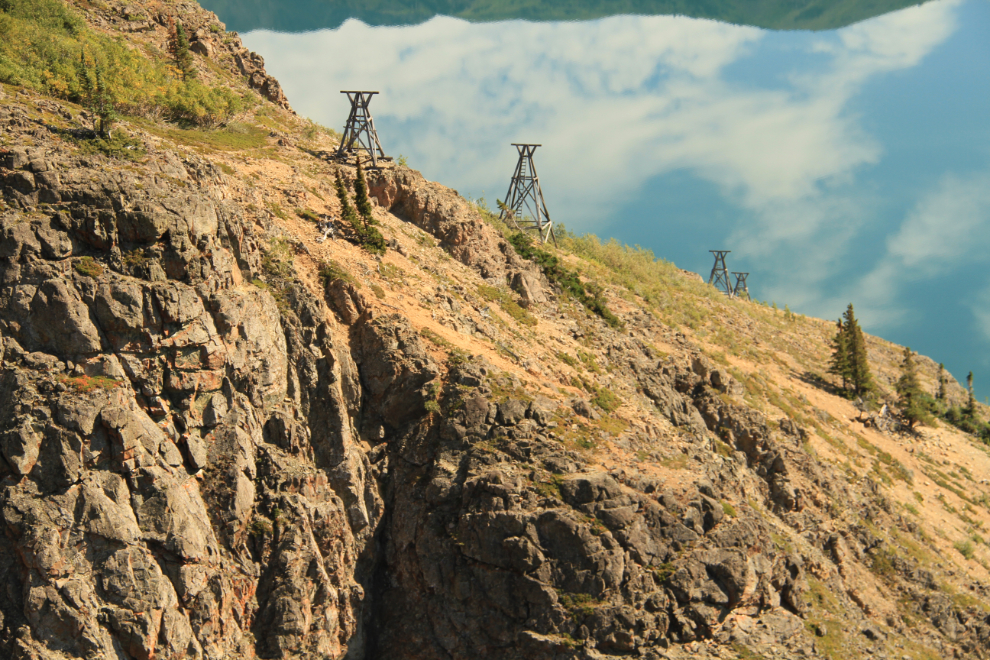
Some of the equipment from the first aerial tramway into the mine can also be seen on the opposite side.
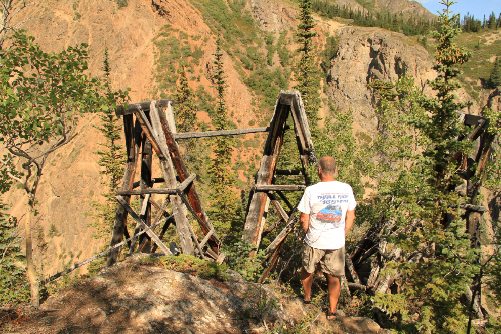
This triple tramway tower, which I reached at 1:00 pm, is the key to finding the route into the mine. It sits at an elevation of 987 meters (3,328 feet) – that’s 297 meters (1,064 feet) above the starting point on the highway. It’s the only tower on the mountain which is built largely of logs from trees cut on site – the timbers for all the others was brought up from Seattle by ship in 1905 and 1906.
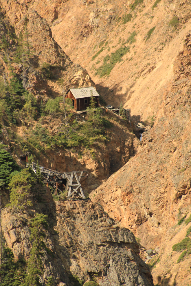
That is the aptly-named Vault mine. It was built on an extremely rich vein of silver-rich galena, and was very hard to get into. Unfortunately, as with all of the silver mines here, the vein turned out to be very small.
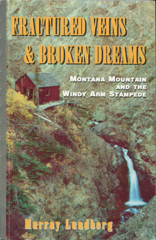
This is the Vault up close during a 1995 visit, on the cover of my book.
I thought long and hard about whether to continue on to the mine, or at least to confirm that I could find the route again. I eventually decided not to, though I did go a short way on a route that seemed familiar. Just before 2:00. I started down on a route further from the canyon edge.
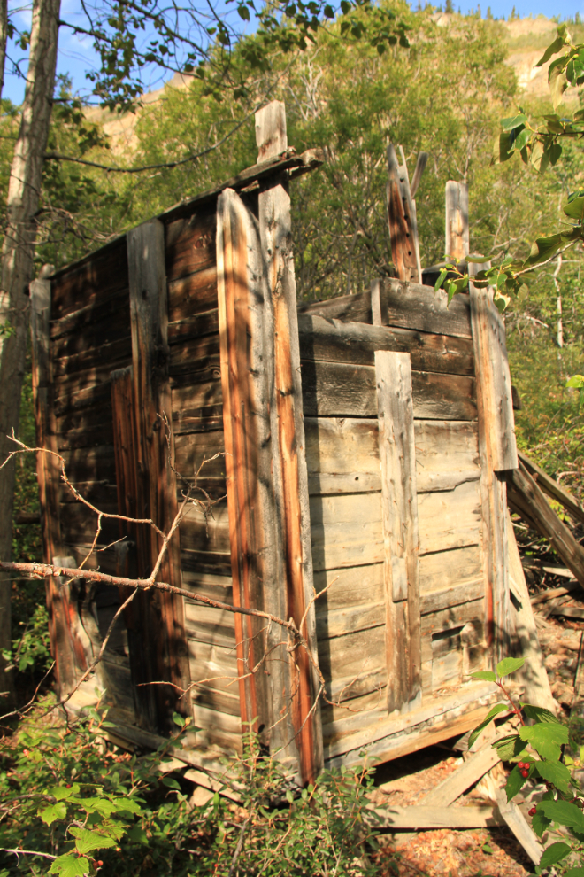
The delta at the mouth of Pooley Creek was the site of the machine shop for the late 1960s incarnation of the Venus silver mine, and then the home of the Venus mine caretaker for many years.
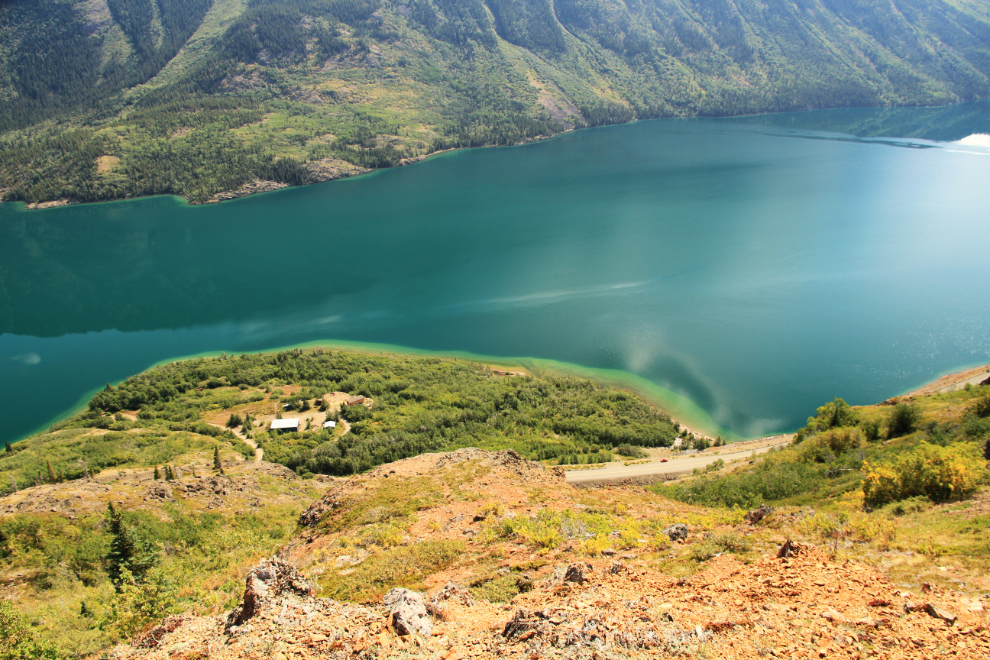
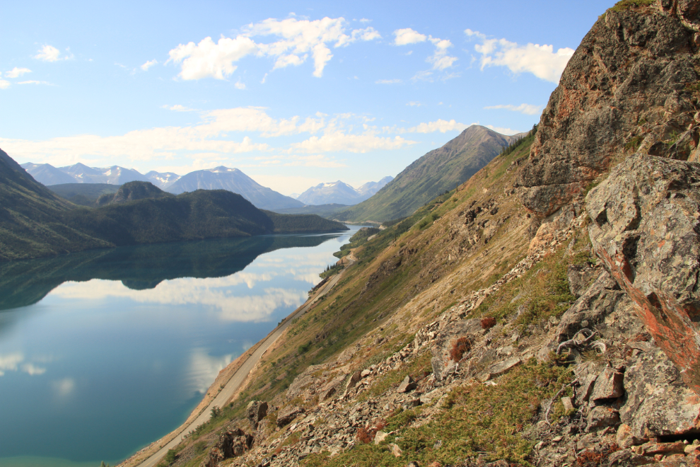
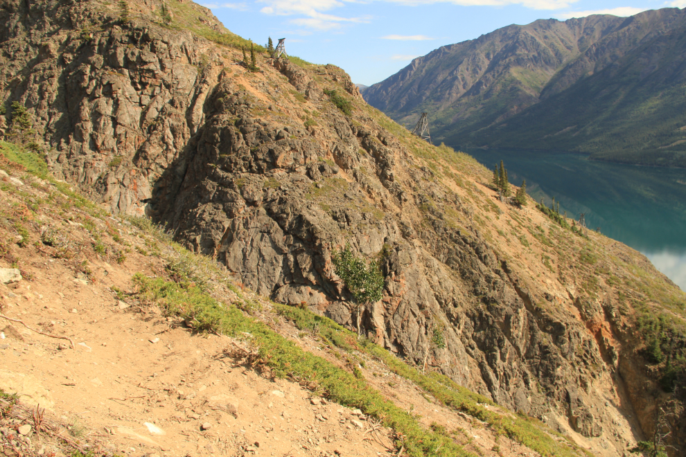
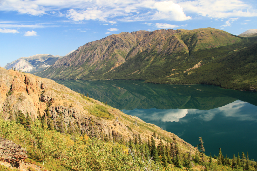
The less-precarious route down allowed me to enjoy the view over Windy Arm more, and the 28-degree temperature (82°F).
What better way to end a hot-day hike than a swim in Windy Arm? It was wonderful!!
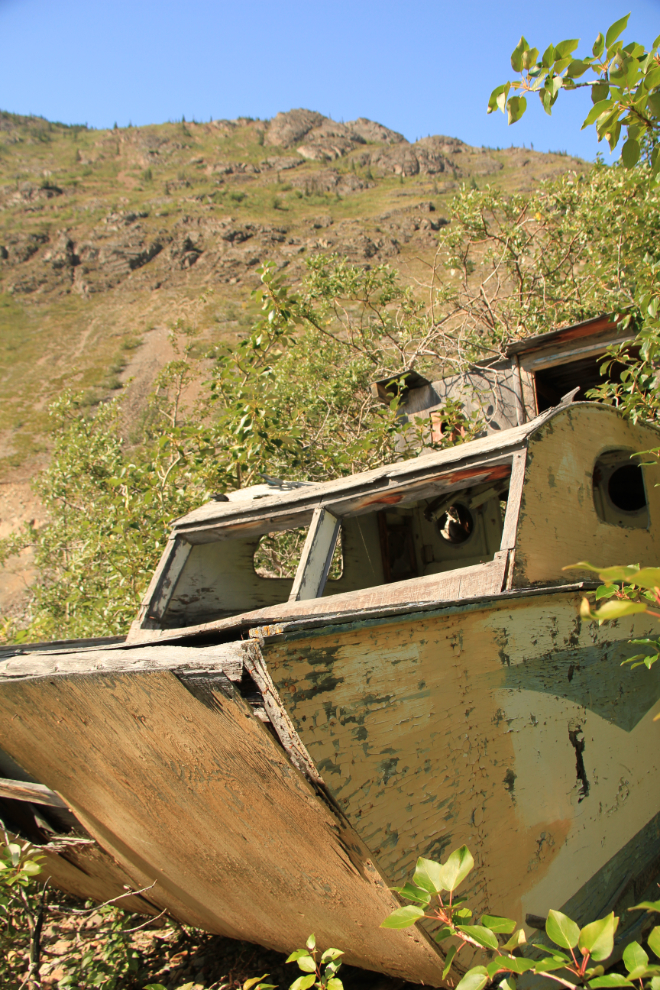
I spent quite a while down on the beach, wading through the water, and checking out this boat which was used as a cabin many years ago and is now disappearing in the willows.
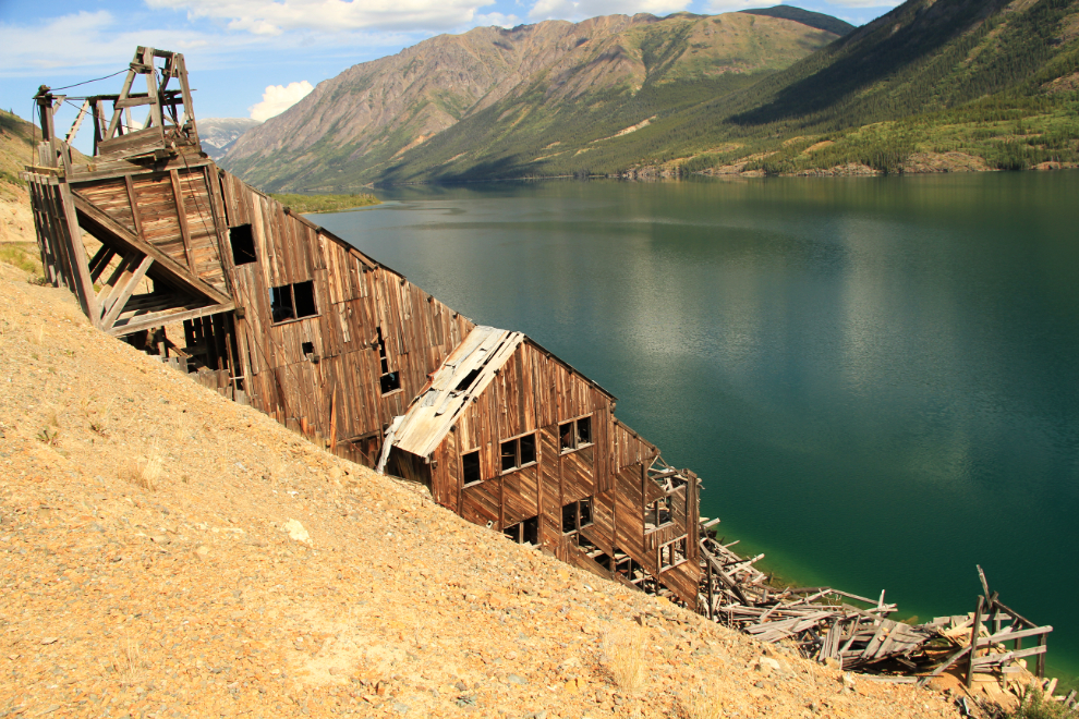
I wasn’t ready to go home yet, so stopped for a look at the Venus mill. It seems to have deteriorated quite a bit since I last went through it – it’s time for another detailed visit before this summer is over.
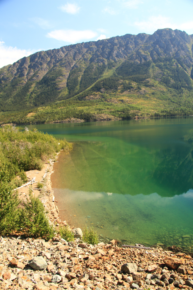
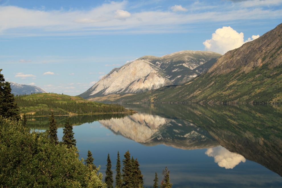
Seeing a mirror reflection on Windy Arm is an extremely rare event, and I doubled back to get a few shots at a couple of good spots.
That was a very rewarding day from a few perspectives. First, it was another day of high-county hiking in amazing weather – everything beyond that is just a bonus. I got to see the Vault again, and that helped me realize that I do still love this mountain, I just need to stay away from the Carcross side of it.