Driving the ice road from Inuvik to Aklavik, NWT
On Tuesday, April 9th, my friend Tyson and I drove the ice road from Inuvik to Aklavik, but this post shows more than the title indicates. We also drove back to Inuvik in very different weather conditions, took a side trip on the ice road to historic Reindeer Station, and had a look at some of the boats and ships that operate on the Mackenzie River and Beaufort Sea.
I should start by showing you how complex this route is. Inuvik is towards the upper right, Aklavik towards the lower left. I somehow forgot to take my inReach on the trip so I could show you the exact route – Google Maps wouldn’t work to show the route because they don’t acknowledge ice roads. Open an interactive version of the map here.
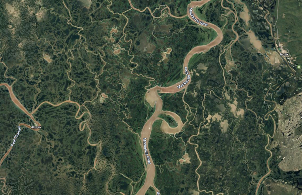
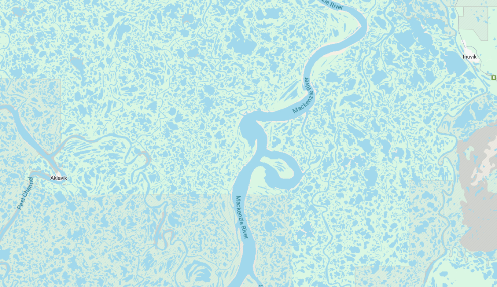
The aerial photo version of the map doesn’t actually show the details well in this case where the land and water are both dark, so here’s the topographical map version.
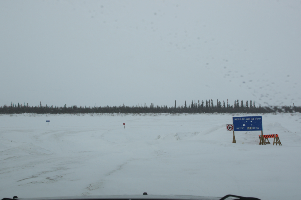
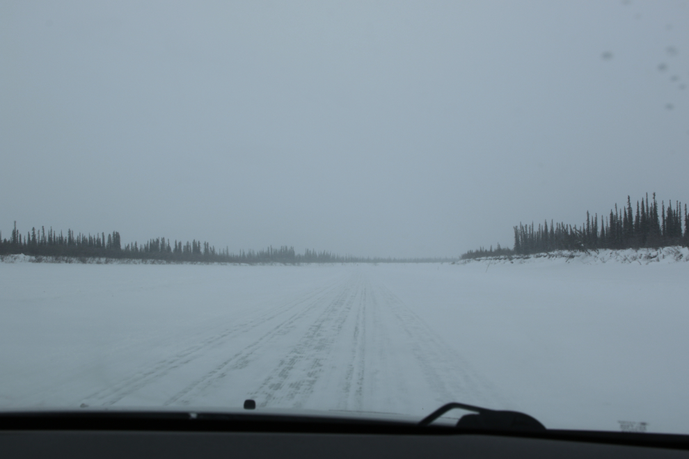
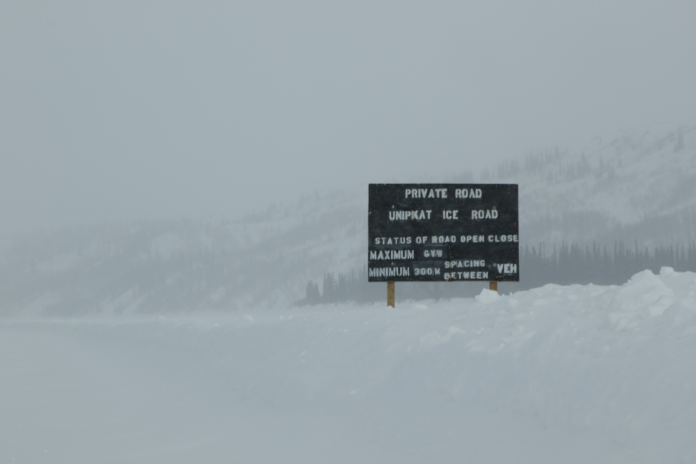
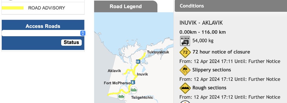
After touring the Igloo Church, the subject of my last post, we reached the start of the Inuvik-Aklavik ice road at 11:45. The first photo shows the sign, with the road rated at 54,000 kg, and the drop down the slope onto the ice of the Mackenzie River. The heavy cloud and flat light weren’t good for photography or driving. From here to Aklavik is 116 kilometers / 72 miles.
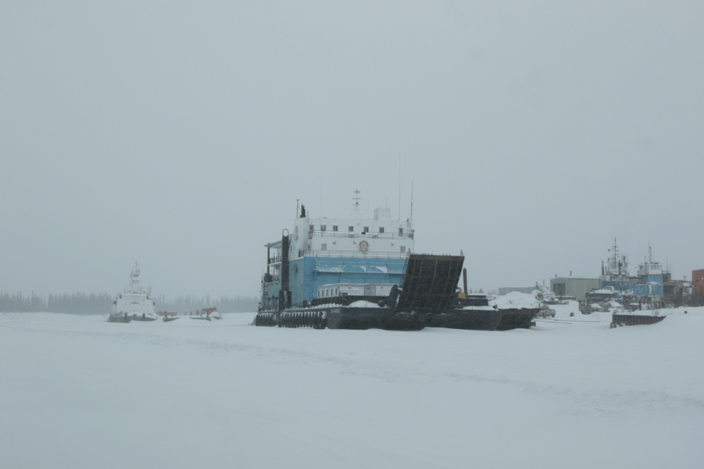
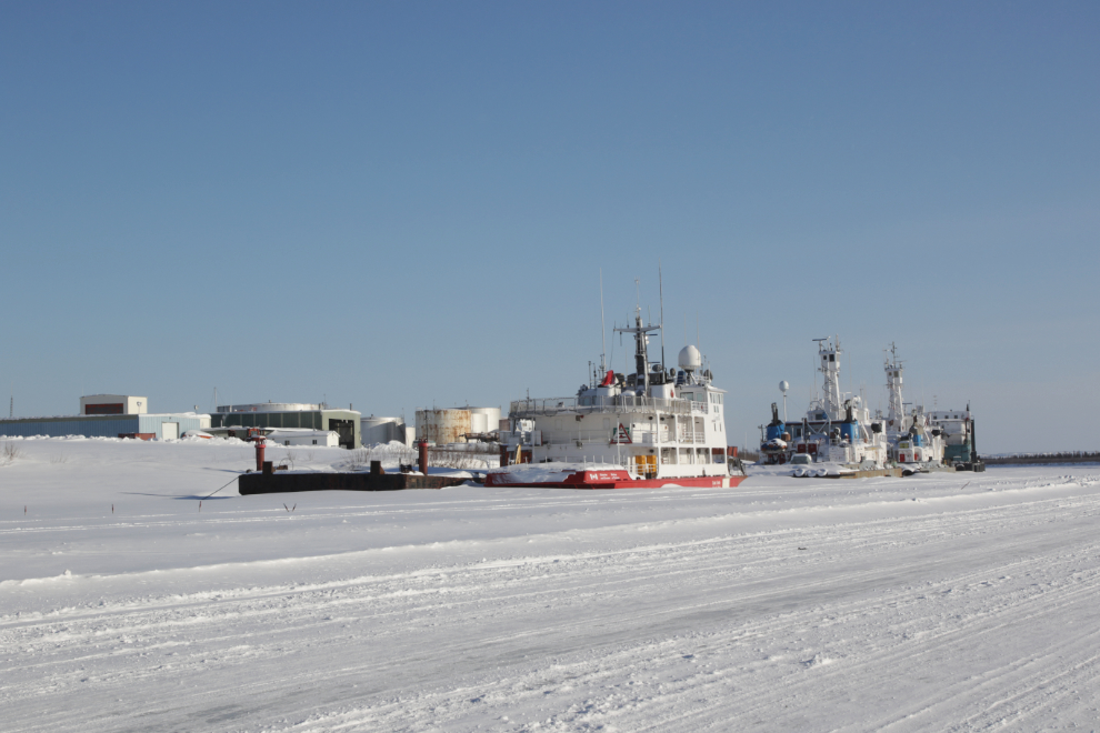
There are quite a few boats and ships in winter quarters at Inuvik. Because of the poor visibility, I only shot 3 photos, including this general view of the wintering area. The large vessels stay on the river, while the smaller ones are pulled up onto the bank. In the old days, many wooden boats were crushed by the movement of the ice in the Spring.
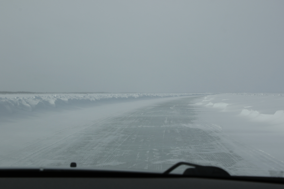
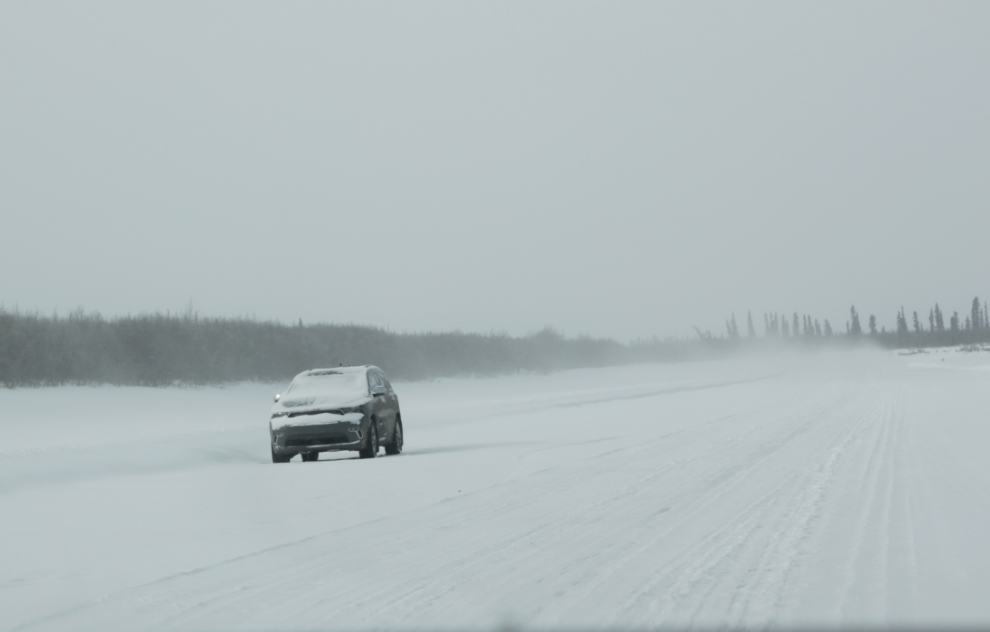
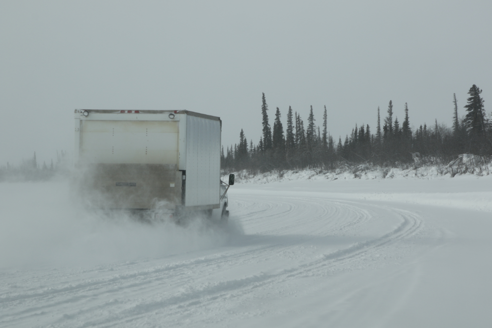
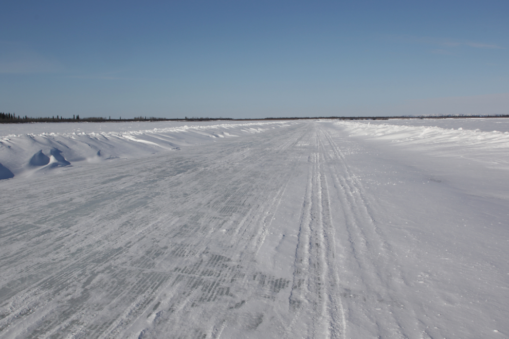
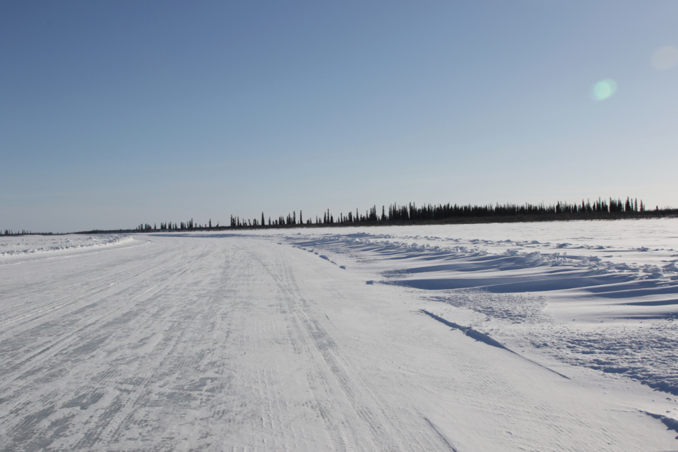
The flat light made it extremely difficult to see the berms on the side of the road, which is plowed very wide, perhaps 100 feet (over 6 lanes by normal road standards).
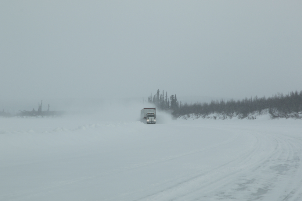
There was very little traffic, and when we met a heavy truck, we just pulled over and waited for the cloud of snow-dust to settle.
At 12:10 we came to an abrupt left turn.
We had been driving down one of the smaller channels of the Mackenzie, averaging almost due north. The turn was onto a larger channel, heading southwest.
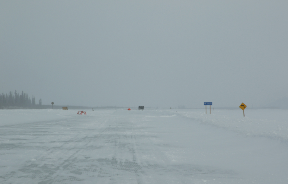
The road going straight ahead is signed as the Unipkat Ice Road, a private road going to the Unipkat oilfield, one of several in the Delta. It also leads to Reindeer Station, and we decided if we had time, we would make that side trip on the way back.
By 12:30 the light was quite a bit better and we could at least see the sides of the road, which was much narrower now.
I shot two videos – the first, only 15 seconds long and very bumpy, shows a snowplow mounted on a pickup truck.
The next, 47 seconds long, is a 360-degree view that attempts to show the vastness of the country. I mention that the water beneath the ice is about 100 feet deep.
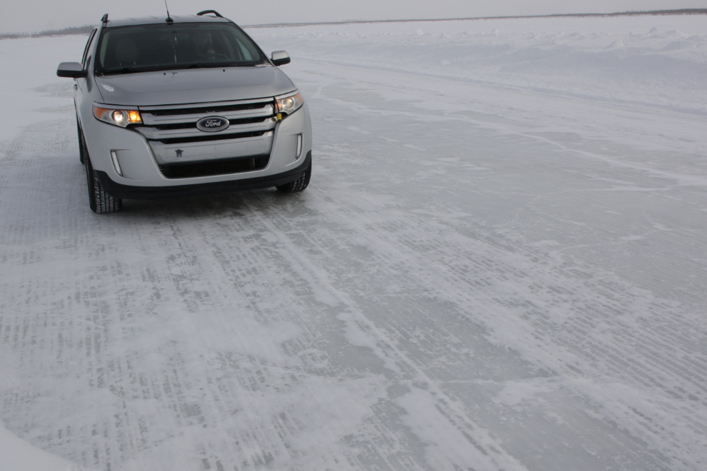
With visibility improving, the next photo shows the suface of the road – yes, ice! Although our speed varied a lot by the condition of the section of road we were on, we were often doing 80 km/h (50 mph) – stopping suddenly would not be happening!
I had an amazing experience at about this point. I got an overwhelming feeling that I had been there before (which I certainly hadn’t). I wrote in my journal when it happened: “It’s a nice feeling, a very comfortable feeling, though we’re alone in this vast frozen world.”
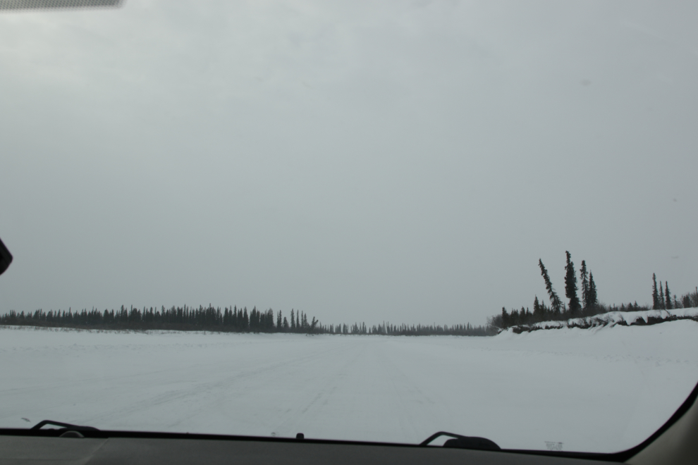
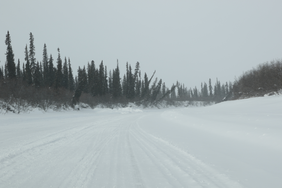
The route wandered crazily around and switched channels several times. I checked the compass a few times, and it ranged from north to south, with a lot of west.
I’ve found a time-lapse dashcam video that shows the route well. It’s over 10 minutes long – although I found shorter ones, this is an excellent speed to see the details of the country.
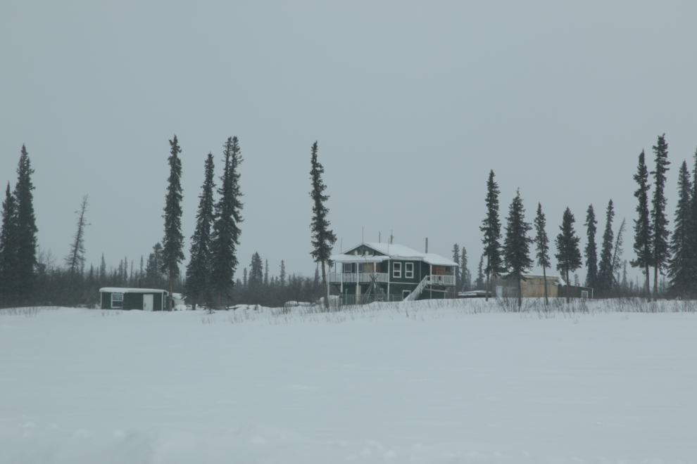
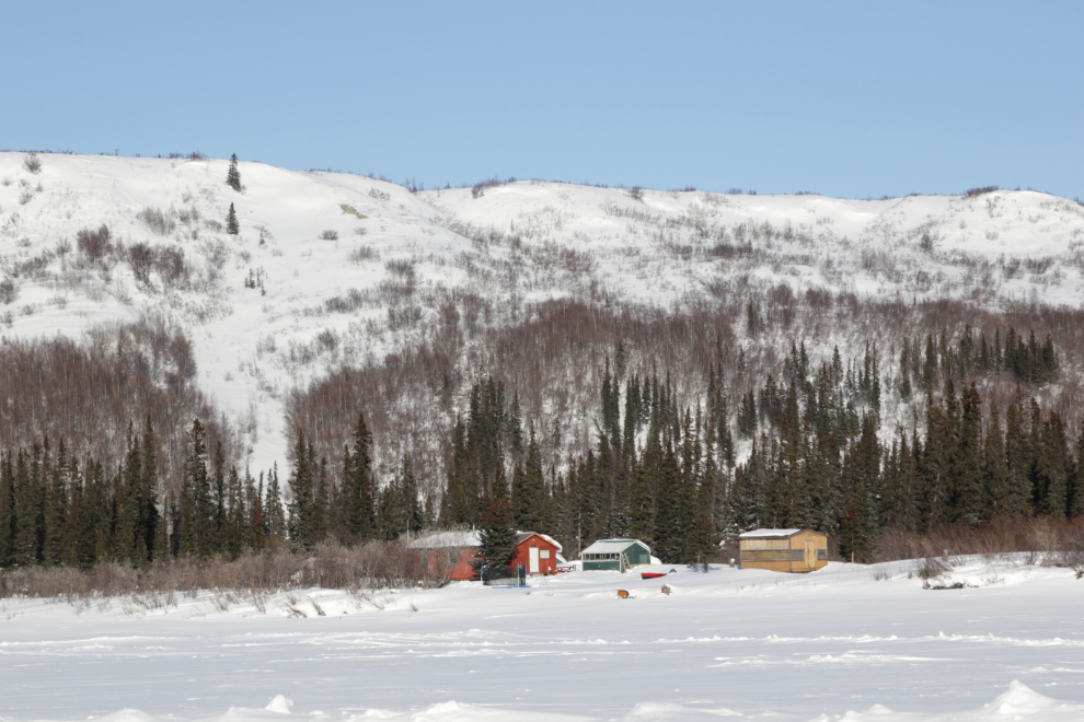
This was one of the very few cabins/camps we passed, and it was by far the nicest. It’s boat-access in the summer, iceroad-access in the winter, and no-access during Spring and Fall breakup.
That’s an ugly place to break down – 1:00, in the middle of a frozen river in the middle of nowhere.
At 1:08 were we on the smallest channel of the route.
A minute later, confirmation was good. Although it’s pretty hard to get lost in the winter, it would be quite easy in the summer.
One person was in a hurry, but we weren’t.
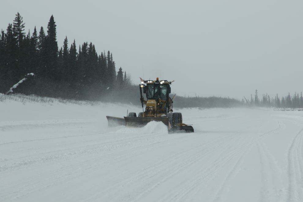
A large snow plow, at 1:20.
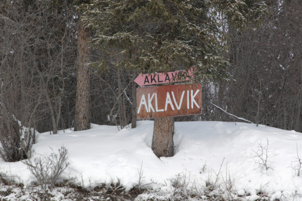
We reached Aklavik at 1:45, and explored and visited for 3 hours – Aklavik will be the subject of the next post.
The next photo was shot 12 minutes after leaving Aklavik on the drive back to Inuvik. I was really looking forward to seeing more of the country in the sunshine 🙂
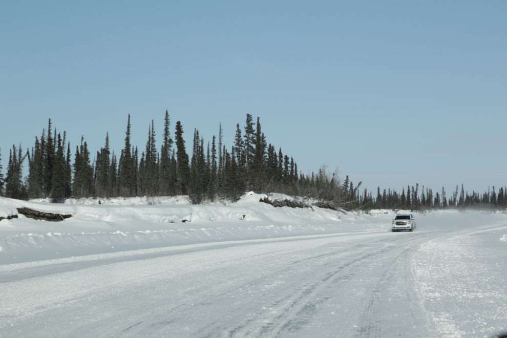
Now that’s glare ice!
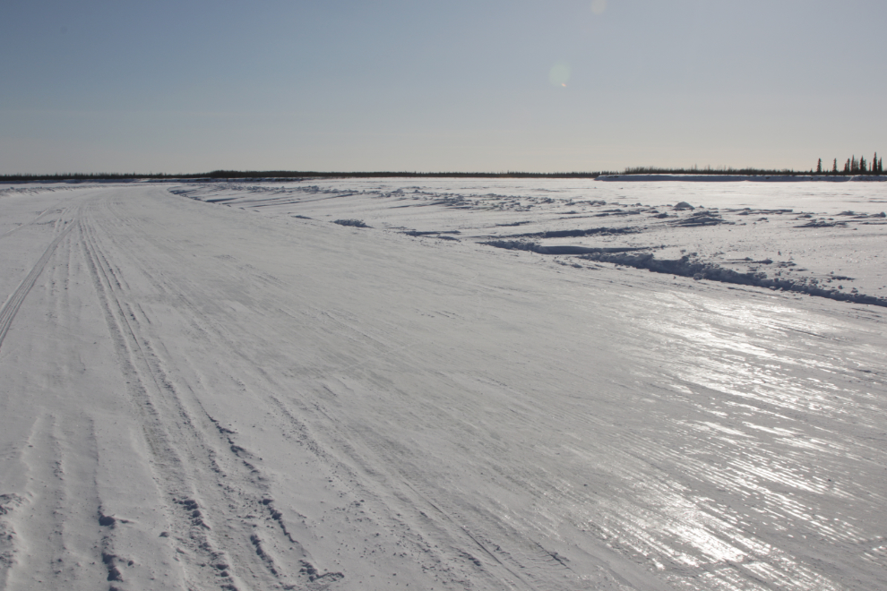
In the middle of the main channel of the Mackenzie River at 5:40. I wish photos, or even videos, could convey the power of this place. Perhaps if you’re there and not paying attention it’s boring, which may be what photos make it look.
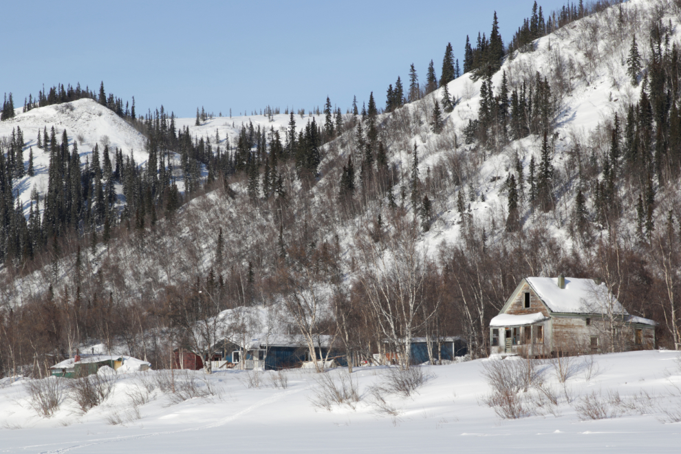
With perfect weather, we made the side trip to Reindeer Station, about 15 miles, I think. We reached it at 6:10. I had noted it from the air in 1985, and circled around for a better look, so it was great to see it up close now.
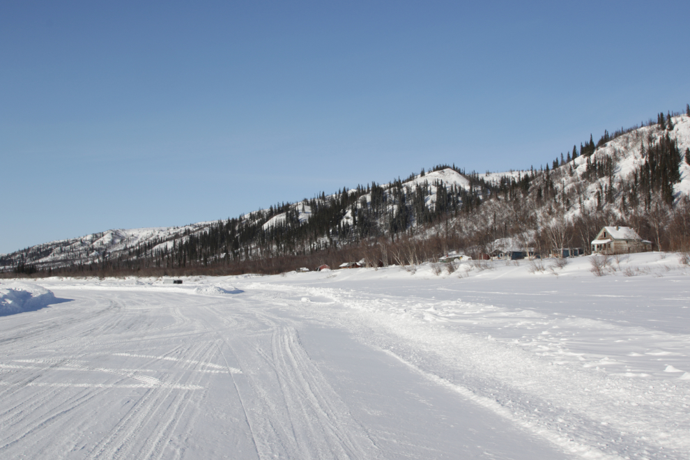
The community of Reindeer Station (Qunngilaaq) was founded in 1932 as the base for a herd of 3,000 reindeer (the name used for domesticated caribou) brought from Nome, Alaska, to supplement declining local caribou herds. Wikipedia notes that “At its peak, Reindeer Station was a self-sufficient community with a population of about 90 people, mainly herders and their families. Amenities included a post office, school, church, generating plant, and Hudson’s Bay Company trading post.” Most of the original buildings were moved after the community was abandoned in the late 1960s, and deep snow prevented any exploring. The location is used as a culture camp with new buildings now, and a caretaker lives there.
Heading back to Inuvik, I was feeling some angst – I really didn’t want this day to end. Writing this now, I have the same warm feeling I had a few hours before, that this is home – I know why, and perhaps some day I’ll tell you that long, complicated story.
Passing another camp south of Reindeer Station, Tyson told me about the Inuvialuit family who owns it, and some of the camp’s history.
Nearing Inuvik, conditions were perfect to get a better record of some of the ships and boats.
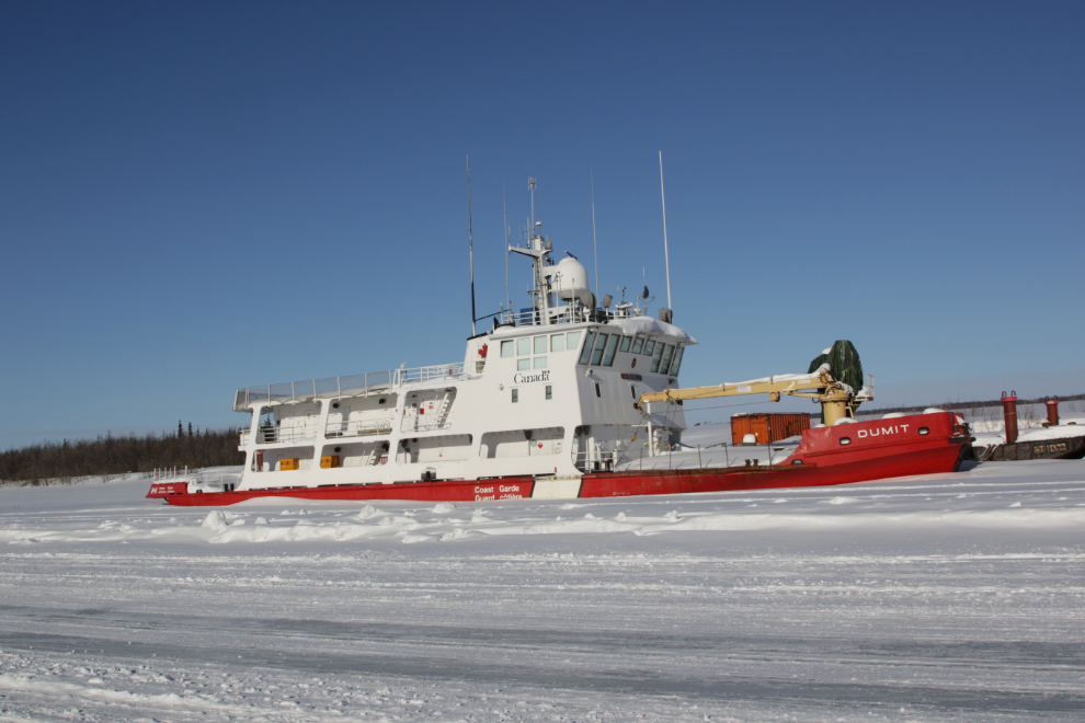
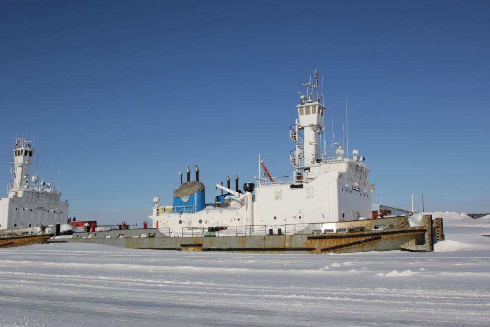
The Coast Guard buoy tender Dumit was built in North Vancouver, BC, by Allied Shipbuilders, and she was launched on July 10, 1979. The name is a Lower Slavey word for leader or pathfinder. The buoy tender that had previously carried that name was re-named “Hay River No. 1”. The construction and month-long delivery voyage of the Dumit cost a total of $4.7 million.
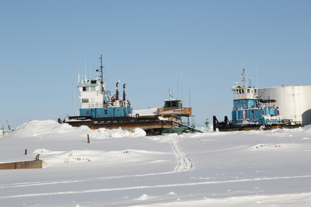
The tug Henry Christoffersen, built in BC in 1973 and named after a former engineer superintendent at Northern Transportation Co., was in a record-breaking flotilla of 7 new tugs and 20 barges that sailed to the Arctic from Vancouver in July 1973. You can read an article about that flotilla here.
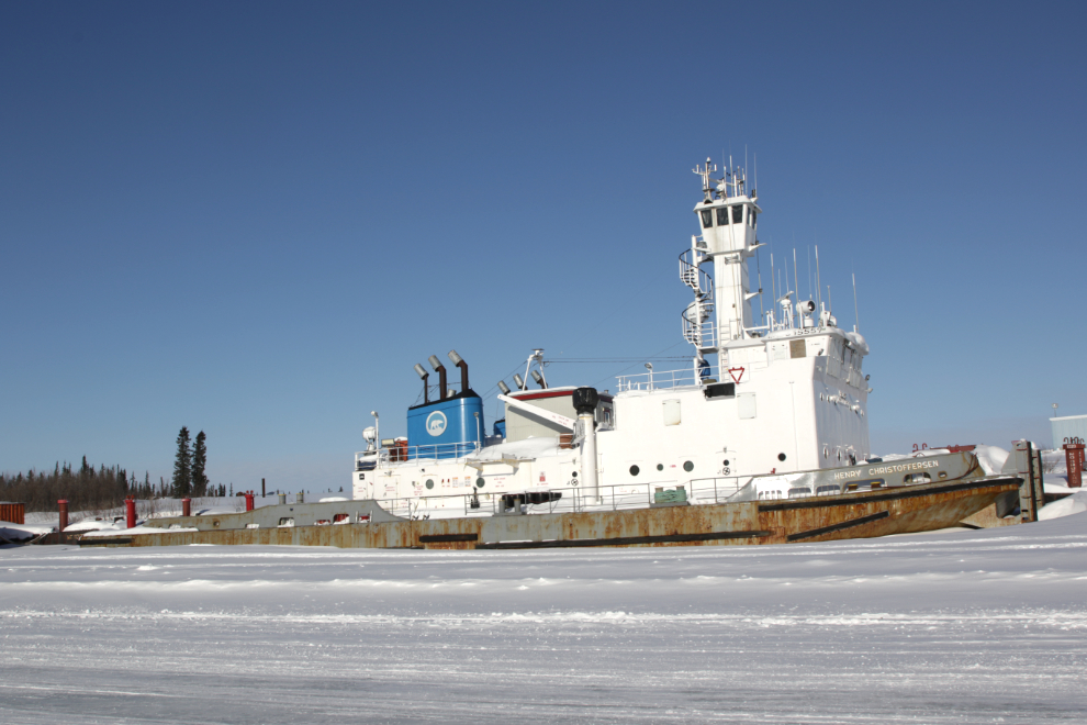
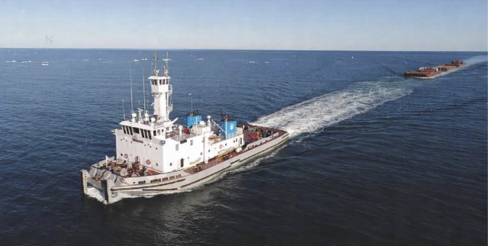
I haven’t found any information about the tug Kelly Ovayuak, but she appears to be identical to the Henry Christoffersen.
Here’s what the Kelly Ovayuak looks like on an Arctic tow – photo by the Government of Northwest Territories, 2019.
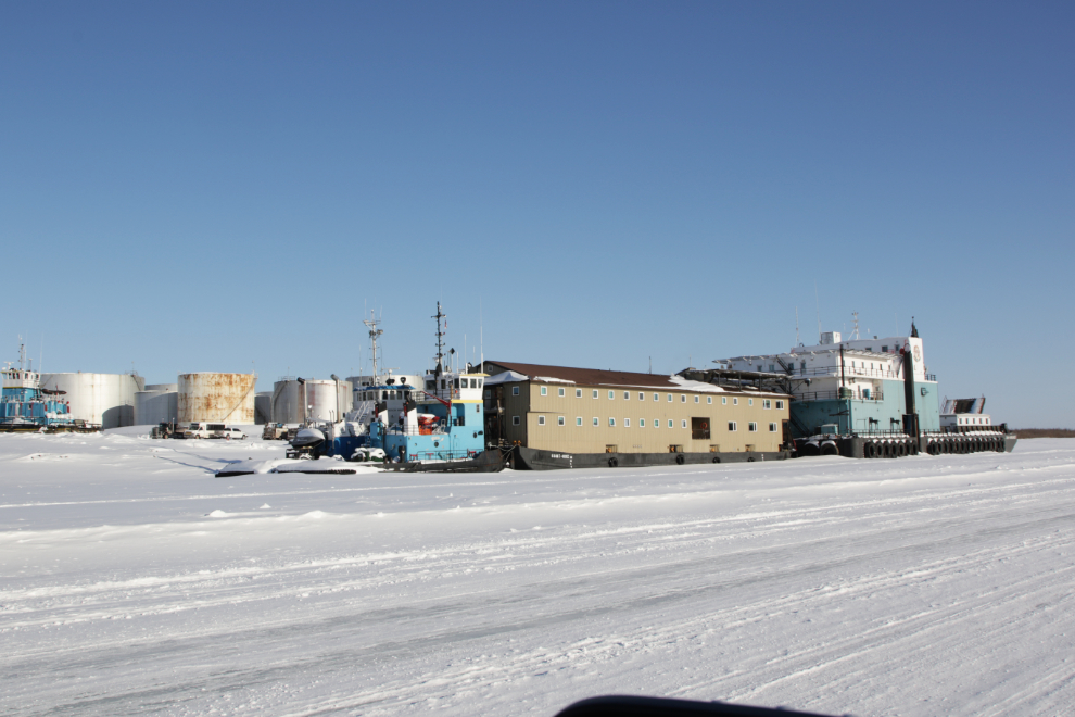
Some of the boats high on the bank of the river, waiting for open water to get back to work.
Pushed by two tugs, this huge work combination is headed by the barge John Wurmlinger, built in 1981 by the Purvis Navcon Shipyard Ltd., possibly at Tuktoyaktuk.
Our ice road journey ended just ater 6 pm. It’s that time of year when the ice roads can close at short notice. Three days after our drive, a notice was posted on the NWT Road Conditions page that the road may close at any time from then, with 72 hours notice.
In the next post, I’ll back up to the middle of this day and show you Aklavik and a bit of the ice road from there to Fort McPherson.
Fascinating about the tugs and that huge work barge consist (any ideas about what sort of work it does?) that first blue/white scow is enormous, must house lots of machinery, with the following being dorms, kitchens, etc. There must be a remote pilot up front to navigate too. I’ve read some history on the area, but the current environment looks quite interesting as well. I was surprised to at what you noted as few camps and cabins. Any good reading about post WWII province history you could recommend?
So interesting… in general, what date is the road opened and what date is it closed. I know it depends on the weather so I was just asking in general for dates.
The 20-year averages for the Aklavik Ice Road are December 17 to April 28. As of yesterday, it can close any time with 24 hours notice – it has been 72 hours notice for the past week, so it could close quickly now.
Another amazing experience to rethink my own ice road experience from Yellowknife to the diamond mines driving super b fuel tankers, like you having flat light that makes it difficult to navigate, some drivers wear the yellow safety glasses to sharpen the view, of course in a 4 wheeler 80 km is no problem unless a quick stop required, but when fully loaded with fuel we were restricted 30 km per hr, then returning to Yellowknife when unloaded you can double your speed to 60 km per hr, cutting your travel time in half obviously, the vastness and northern lights are amazing way up North, thanks Murrster for another glimpse of your adventures and a rekindle of mine.🍻🇨🇦
Another great post with a lot of insight and information about Canada’s Arctic, the communities and life styles. They make movies about ice roads that always involve cracks and races by trucks to avoid sinking out of sight below the ice. Small wonder you drive at 80 kmh to avoid situations that might require the use of your superior driving skills.