Fall at Kluane Lake – Dall sheep and more colours
Last weekend was the Discovery Day long weekend, which celebrates the discovery of gold in the Klondike, and is the start of the end of the tourist season. The Alaska Highway isn’t quite a one-way road leading south but the vast majority of RVs are headed that way.
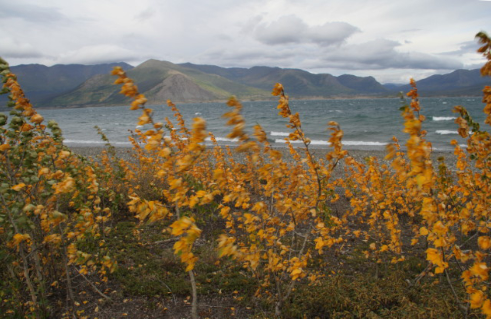
We actually made it an even longer weekend, as Cathy took Tuesday off work as well, so we were back at Congdon Creek Campground for 4 nights starting on Friday. Although the weather forecast looked pretty good, with lots of sunshine and daily high temperatures around 20°C (68°F), that’s not what we got. The weather seen in this photo was the norm, with high winds that mostly kept us off the beach, and temps in the mid teens (high 50s/low 60s F).
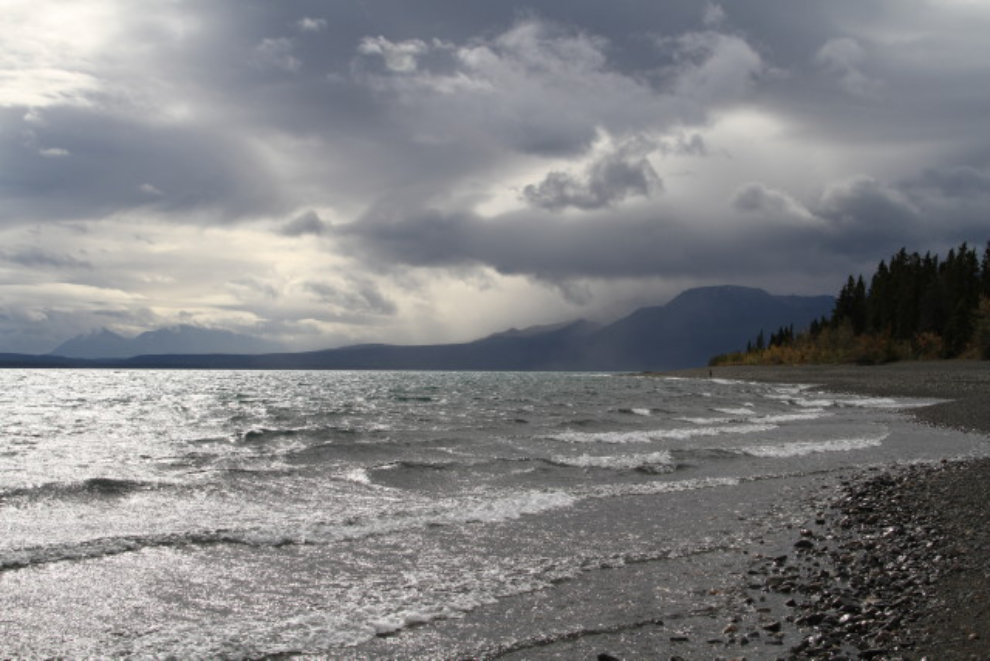
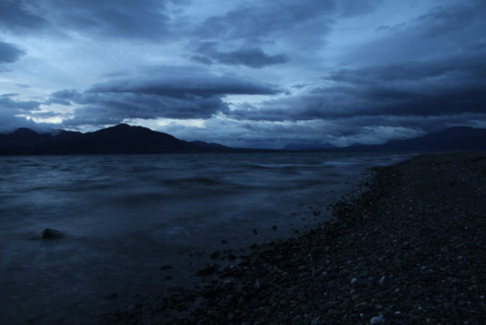
Early on Saturday morning (05:30, almost an hour before sunrise), I went to the beach to take some time exposures of the waves. This was shot at a 1.3-second exposure.
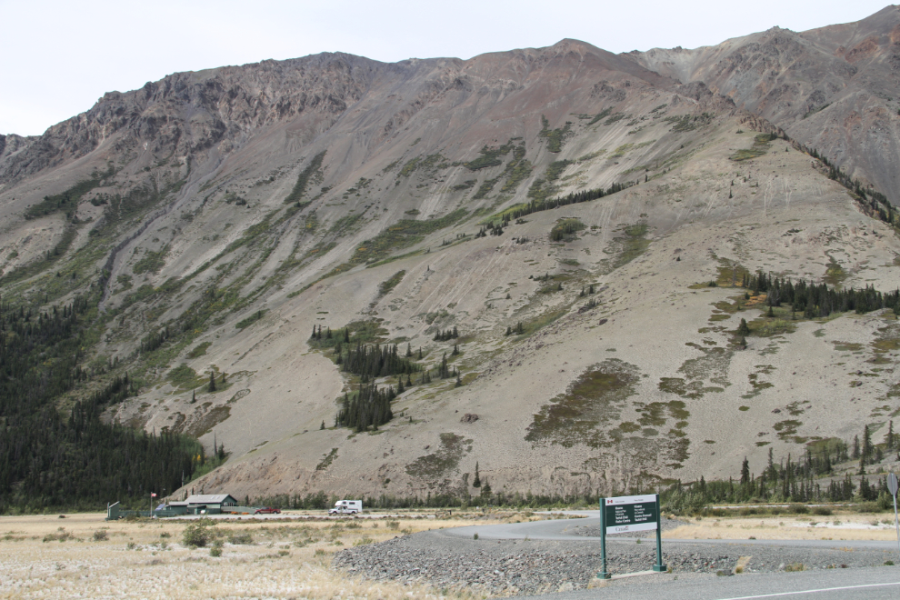
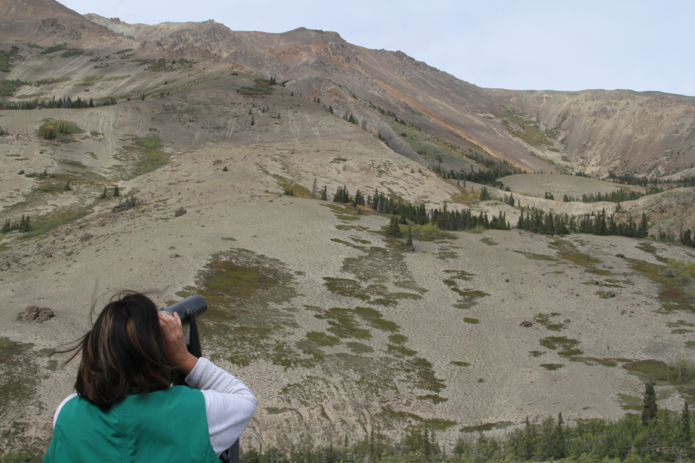
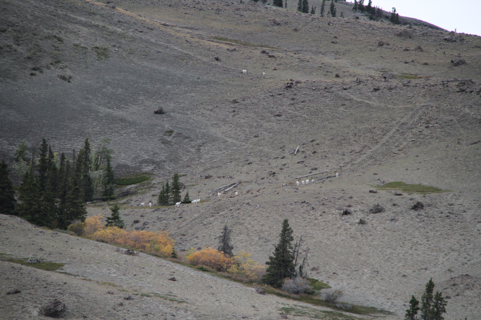
We drove to the Sheep Mountain (Tachäl Dhäl) Visitor Centre a couple of times, as the Dall sheep are starting to congregate on the sunny side of the mountain, which faces the centre.
There are spotting scopes set up at the Visitor Centre so you don’t have to just see what we call “Dall dots”. There were nearly 100 sheep in 3 areas of the mountain on the first visit, about 60 the second time.
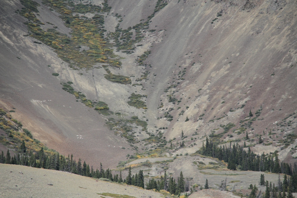
The next 2 photos show the Dall dots. There are about 450 sheep on the mountain now. The ewes and lambs come to the sunny side first, while the rams will stay on the far side for a few weeks yet.
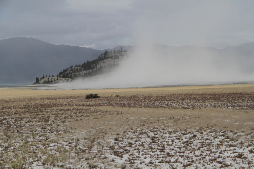
With the constant strong winds we experienced, there was plenty of dust blowing around on the Slims River flats. This is looking toward what used to be an island.
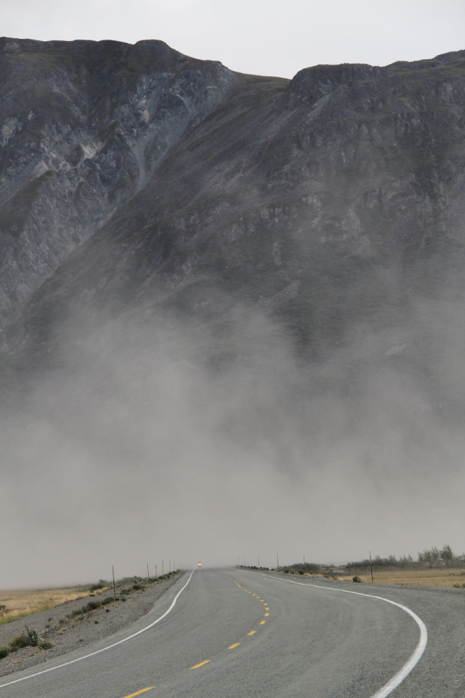
The headlight coming out of the dust cloud is a motorcycle that’s just crossed the Slims River bridge on the Alaska Highway.
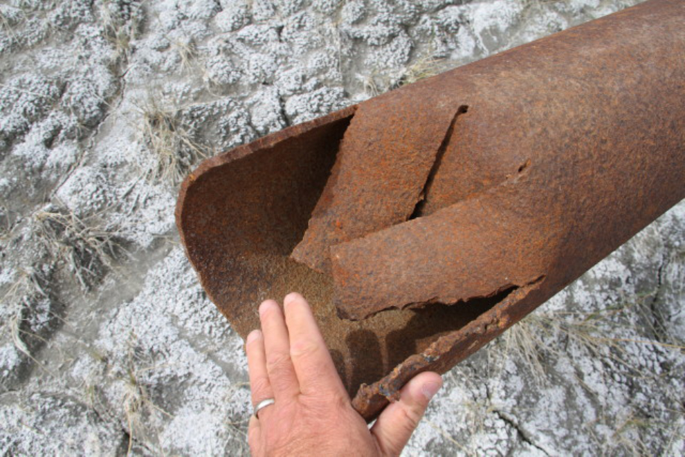
I finally walked out to a broken section of long-abandoned pipeline near the Visitor Centre to see which pipeline it was.
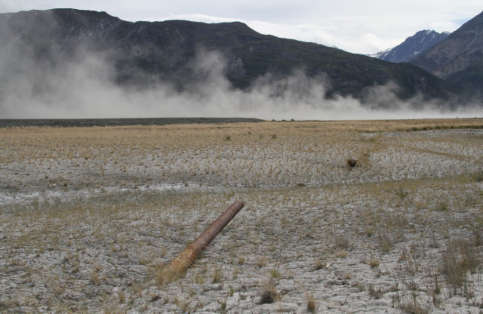
From the diameter of the pipe (8 inches), this is the Haines-Fairbanks Pipeline that operated between 1955 and 1971.
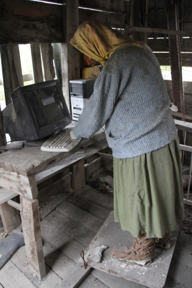
Going over to the historic Alexander Fisher cabin, I was very pleased to see that Kelly Wroot’s wonderful art installation that I first saw last July is still in place. The error message on the computer screen reads “Error: Cultural identity not found.”
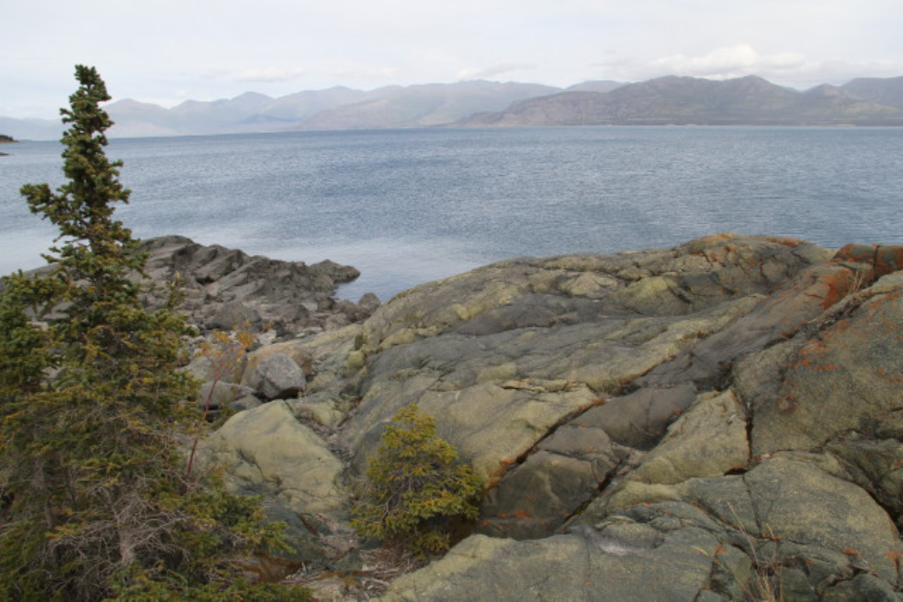
This ridge of granite has been battered by the elements for thousands of years, resulting in a smooth surface that looks more like Lake Superior than Kluane Lake. The lee side of the little peninsula afforded us enough shelter to enjoy the view for quite a while one afternoon.
On the interpretive trail back at the campground, I shot this photo at 1/25th of a second to blur the wind-whipped autumn leaves along a section of the trail that’s not protected from the wind.
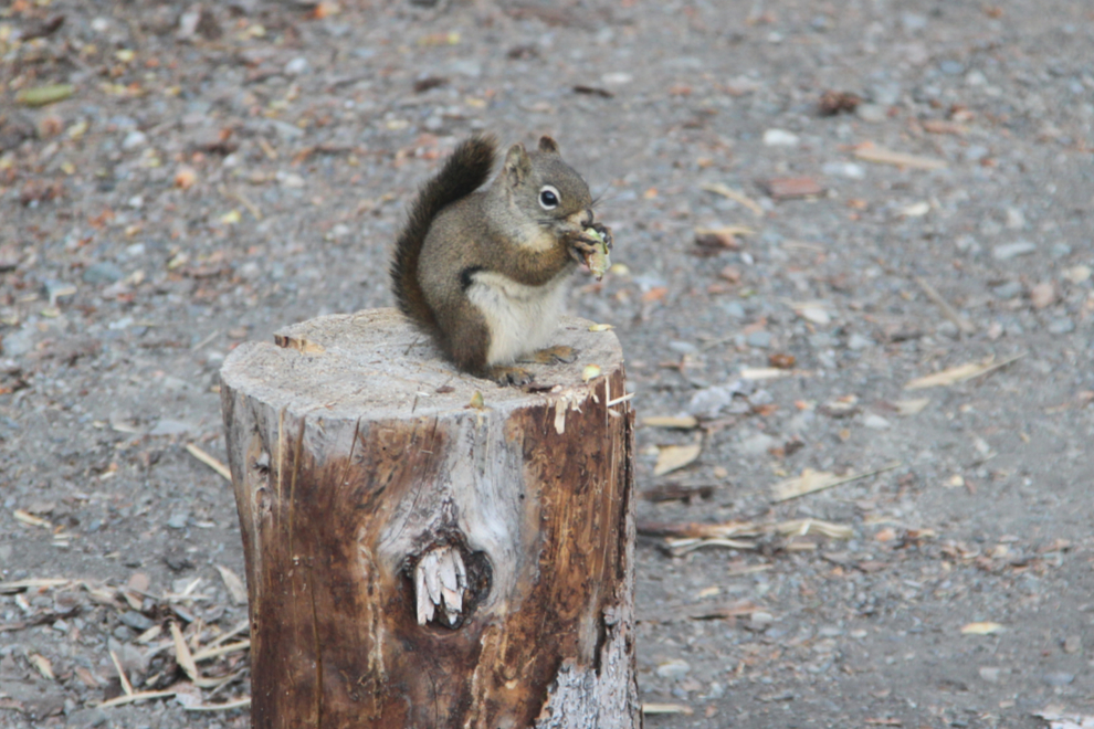
We spent a lot of time reading in front of a campfire, or in the rig when the wind got too strong. This squirrel seemed to enjoy teasing Molly and the dogs when we were inside.
The “Murphy’s Laws of Weekend Weather” being what they are, the sunshine finally arrived on Tuesday as we were about to start packing up. The wind hadn’t dropped, though.
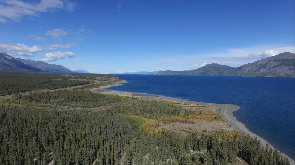
In the shelter of the campground, I finally launched the drone and got a few minutes of video, from which I took the next 2 screenshots. I’m at the lower left of the first photo.
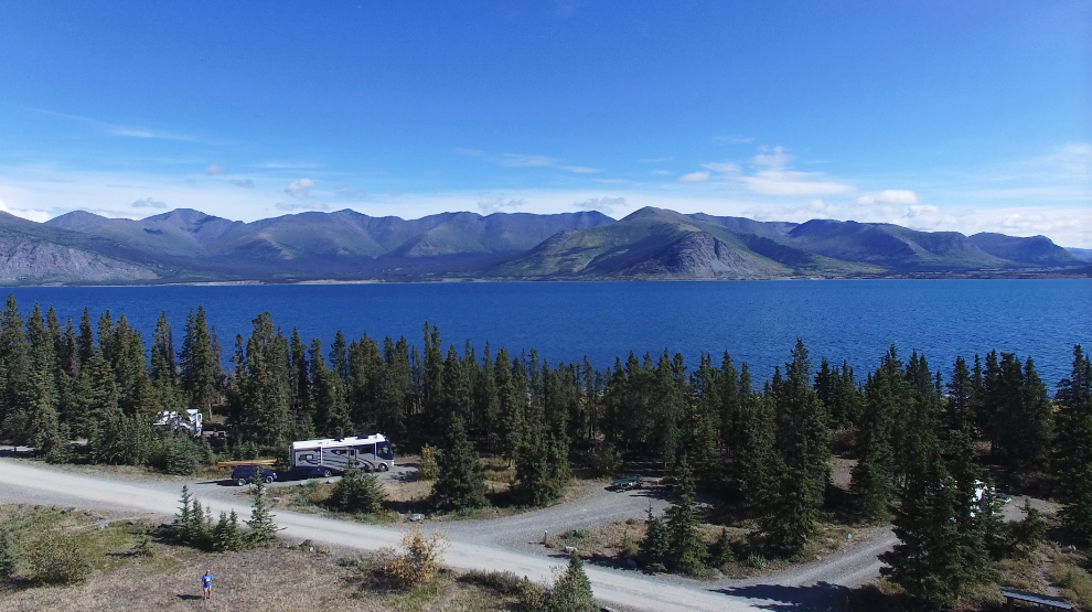
Looking north to Congdon Creek, this was shot from an altitude of 57 meters (187 feet).
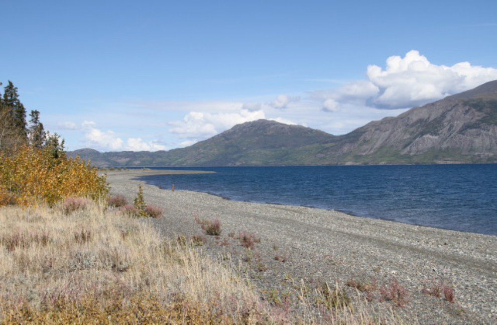
On the drive home, we noticed that the beach at the south end of the lake was calm so stopped there for a couple of hours to enjoy the sun, and even the water. Both Bella and Tucker had gotten very dirty, so they both got a bath in the lake.
As I write this, there’s no good weather within a 3-day drive, so we’ll be home for a bit. I have lots more plans for the season yet, though…