Journey to the Arctic: the flight
I arrived home yesterday evening from an Awesome Arctic Adventure, and am now sorting several hundred photos for probably five blog posts. In brief summary, I flew from Whitehorse to Inuvik to meet a friend on Sunday, we drove to Tuktoyaktuk and back on Monday, drove the ice road to Aklavik and back on Tuesday, drove the Dempster Highway to Dawson City on Wednesday, and from there home yesterday.
Starting this is quite overwhelming – I feel like I’ve sat down to eat an elephant, but here I go, one bite at a time 🙂
To go back the actual start, last Thursday (April 4th), I got a message from my friend Tyson in Inuvik. He was coming to Whitehorse but wasn’t yet sure whether he was going to drive or fly. He suggested that I fly up a couple of days early to do some exploring with him, then drive down with him. That meant flying on Sunday, and with a close-departure fare totalling $516.60, I asked Cathy what she thought of the whole thing. She said “Go for it!” – and I did.
On the way to the airport Cathy admitted that she was anxious about whether I’d be able to deal with it, but I said with the recent improvement in my condition I’d be okay. Once I stepped into the terminal, I was no longer certain of that – there were a lot of people! After a bit, a couple of women noticed that I was having a problem, and helped me get my bag dropped. At security, I was told that the Inuvik flight doesn’t require security screening, and I eventually found the right place to line up for it.
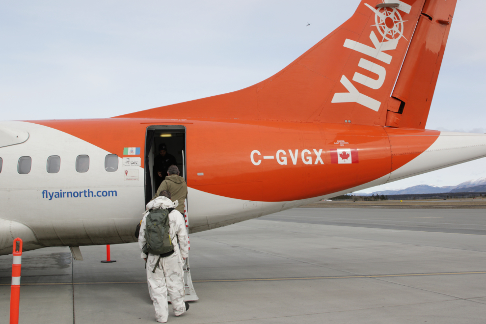
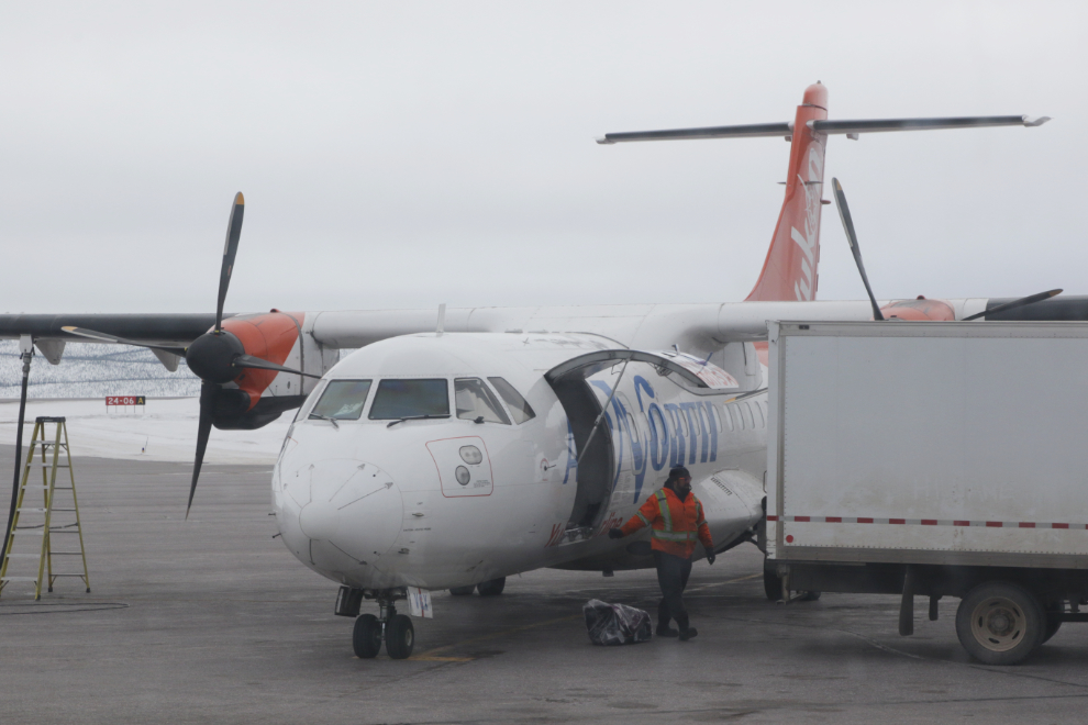
About 20 minutes before the scheduled 11:45 departure time, we were escorted down the stairs toward the ramp, our names were checked off on a paper list (no computer down there), and at 11:36 I was walking toward our plane, Aerospatiale-Alena ATR-42-320 C-GVGX.
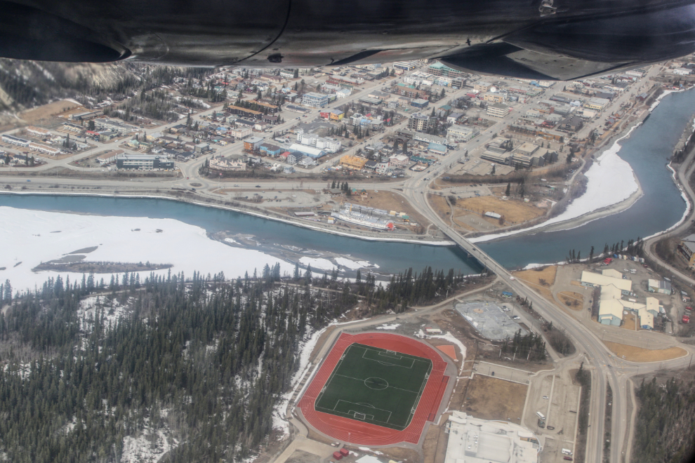
We took off to the south, and at 11:55 were banking over the Yukon River and Riverdale – the restored sternwheeler SS Klondike is in the centre of the next photo. I’ve enhanced all the aerial photos to reduce the haze and bring out details.
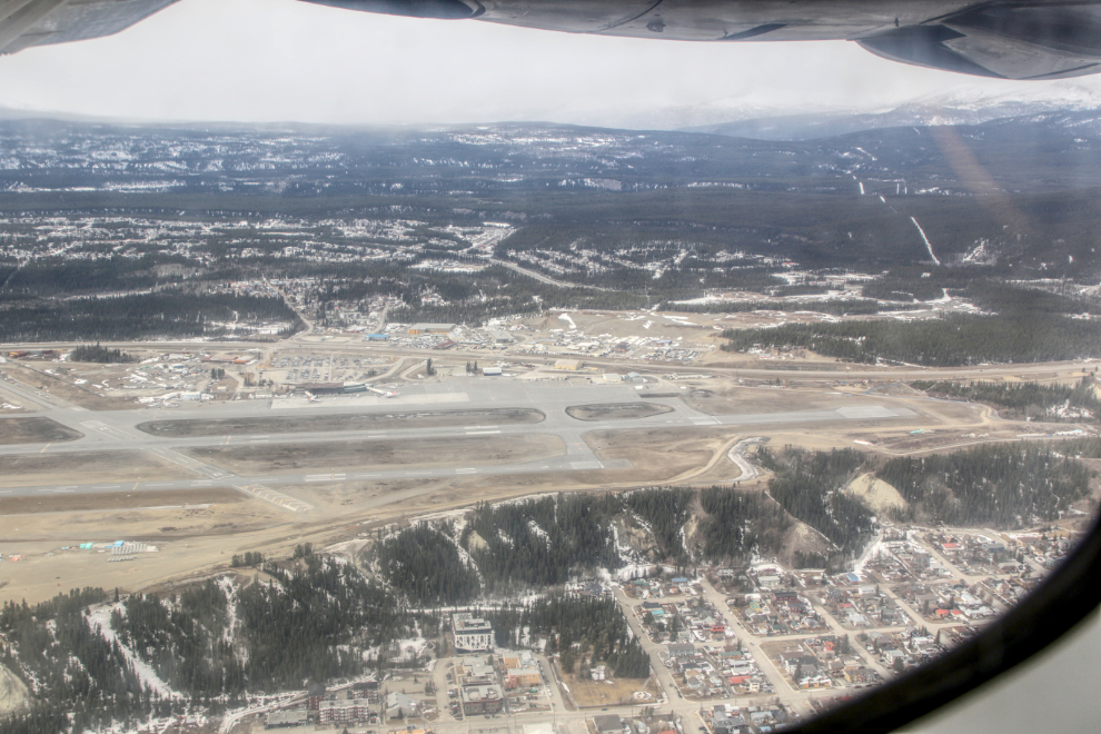
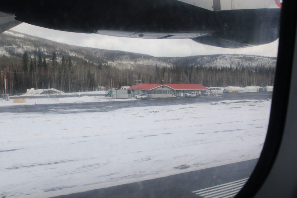
I got an excellent look at the airport.
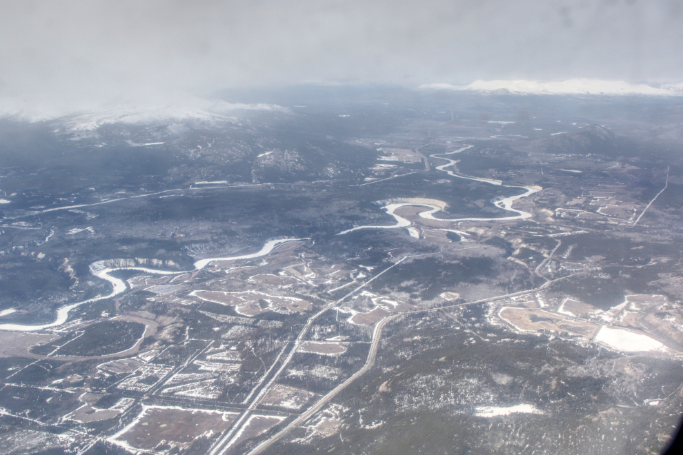
The next photo looks west, up the Takhini River and the Takhini Hot Springs Road. The large white area to the lower right is the swampy moose enclosure at the Yukon Wildlife Preserve.
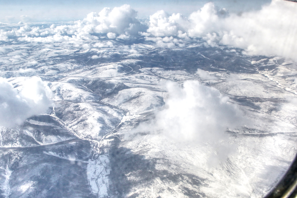
The distinctive chain of lakes seen below, photographed at 12:24, is just west of Carmacks, but I can’t find their names(s). The Mount Nansen road is just to their right (north), the abandoned and toxic Mount Nansen gold/silver mine is in the near distance.
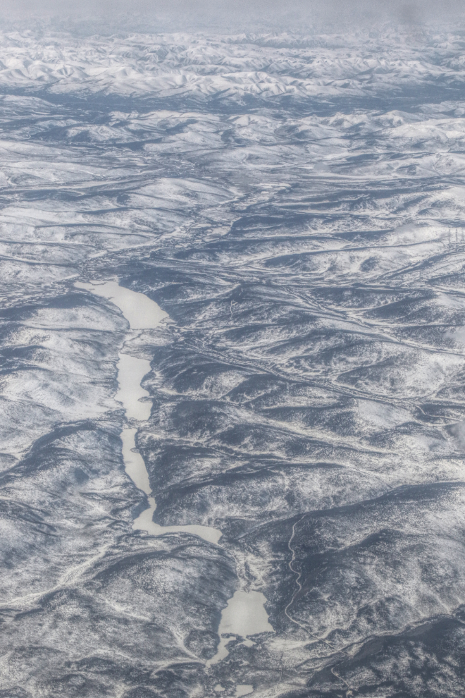
Just 1 minute later the terrain was very different.
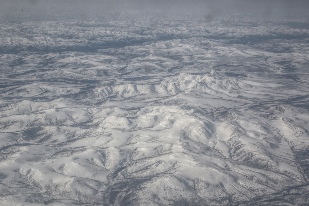
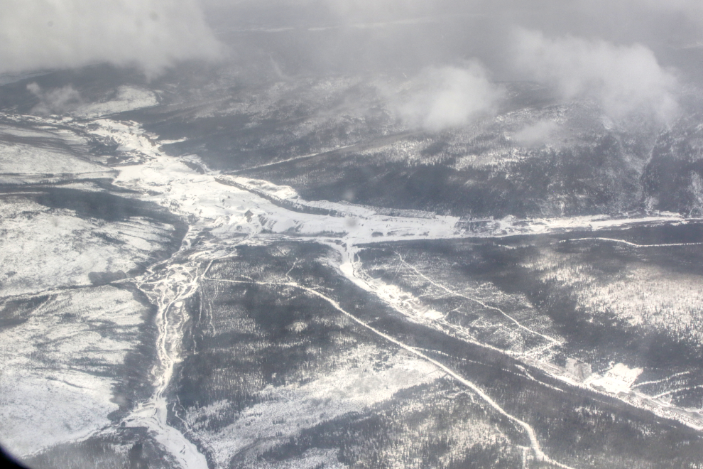
Ar 12:36 we were over the Pelly River, looking at the Yukon River change course to the west for a while. Fort Selkirk is hidden below the clouds at lower centre.
The Stewart River, at 12:45.
Two photos of the Klondike goldfields, though I don’t know the exact locations. They were shot at 12:49 and 12:53.
We flew over the Dawson airport (YDA) at 12:57 then did a long complicated path to the east to drop down for the approach.
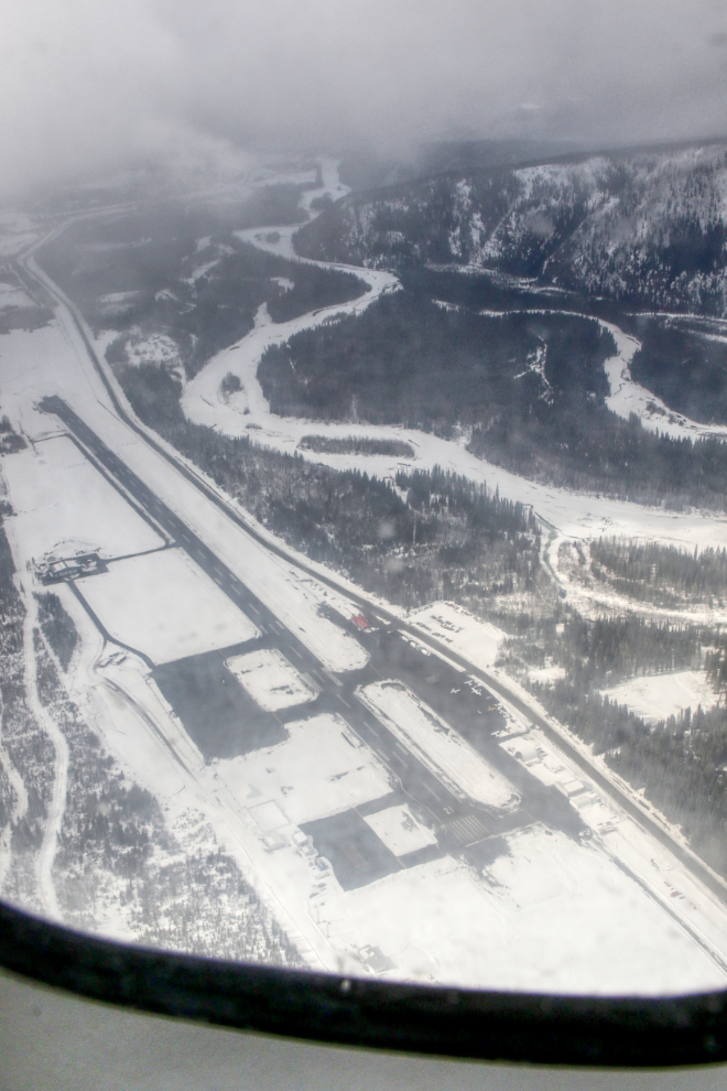
Descending over the Klondike River, North Klondike Highway, and Rock Creek residential area, at 1:00.
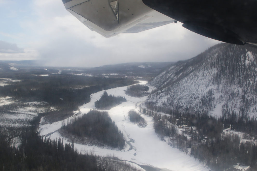
It was a quick turnaround at Dawson, and at 1:29 we were on our way again.
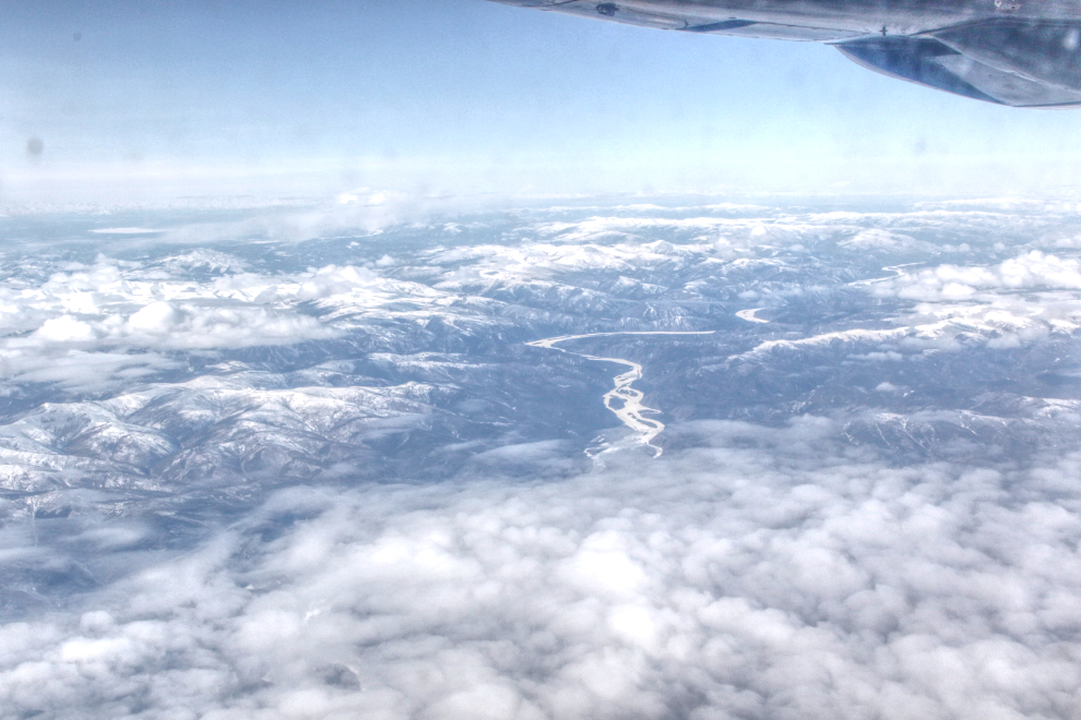
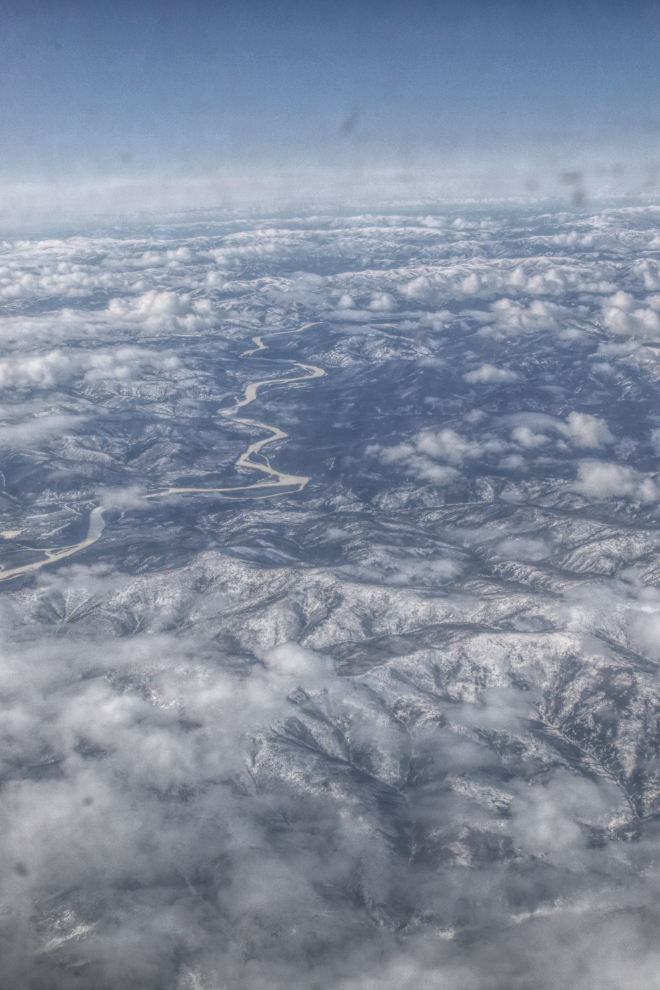
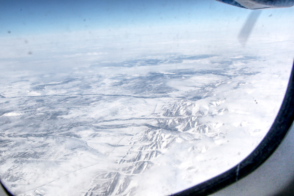
At 2:13, the Dempster Highway could be seen just to the left (west) of the Ogilvie Mountains.
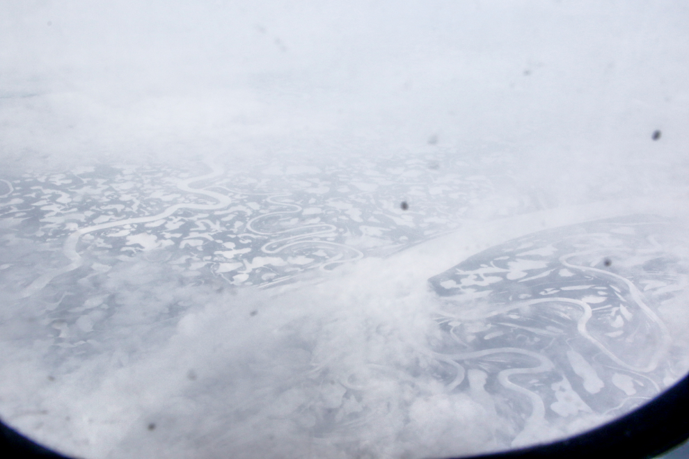
I was really hoping to be able to add some more photos of the incredibly complex Mackenzie Delta, but it was clouded over and I was lucky to get a couple of shots in a small break in the clouds that lasted 3-4 seconds.
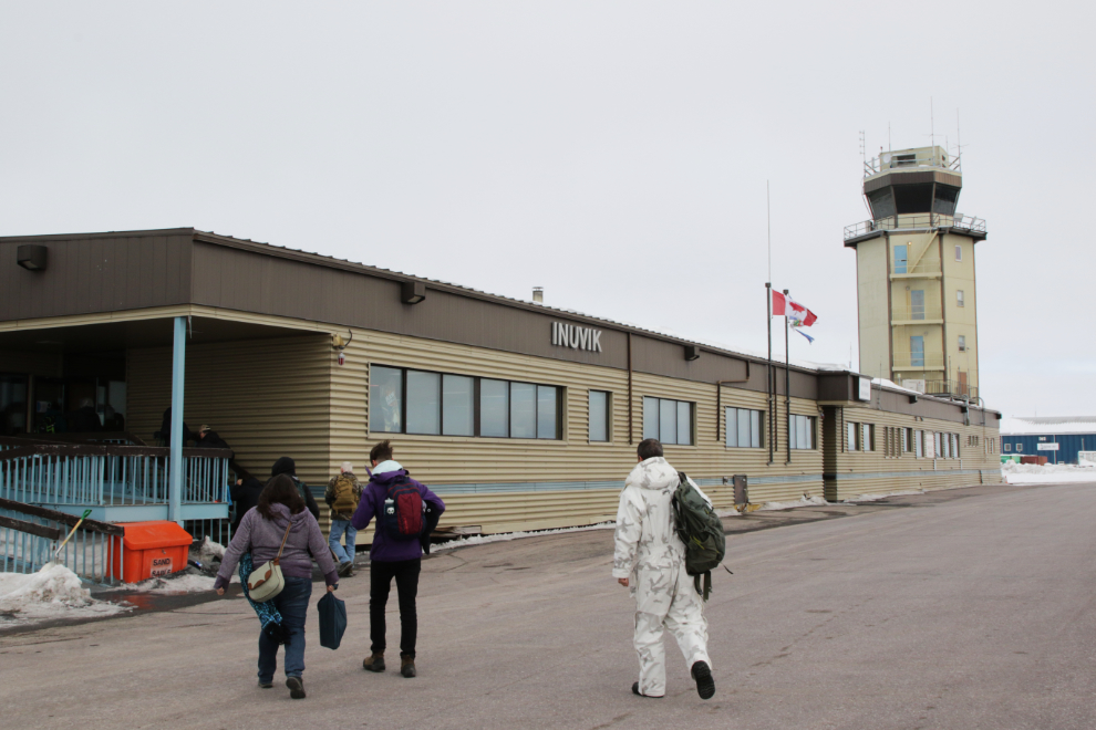
Inuvik, at 2:55, which was actually 3:55 local time.
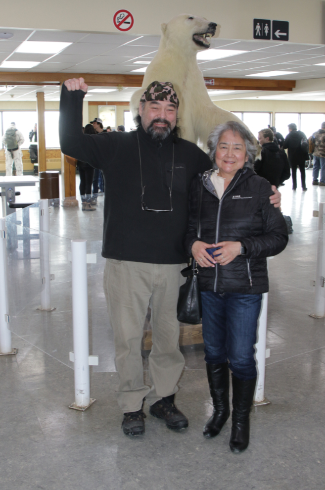
It was wonderful to see my friends Tyson and Catherine again. Unfortunately, Catherine was boarding the plane I came in on, to go to Whitehorse and on to Victoria. And when Cat’s away… 🙂
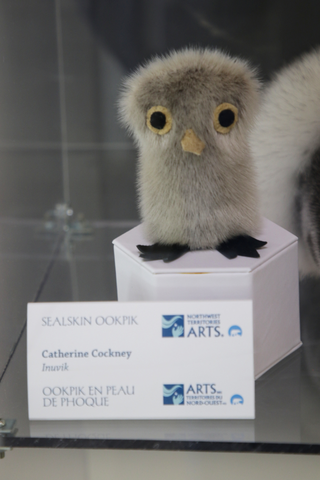
Among other accomplishments, Catherine is a very talented artist, and Tyson proudly showed me one of her sealskin ookpiks on display in the terminal. Her beadwork moccasins are gorgeous.
Tyson and I stayed until the plane had departed, then began our adventure with an introductory tour of Inuvik.
I’d been to Inuvik about 15 times with tour groups, but the last one may have been in 1996, and I was looking forward to seeing the changes, and to getting an in-depth look from a local’s perspective (Tyson was born here).
And so the adventure begins… I am so glad that you felt some confidence again and need to take Tyson up on his offer… Very eager to see the days (and photos) as they unfold for you.