More exploring my neighbourhood by e-bike
We have heavy rain and 12°C/53°F as I right this, so it may be an indoor day, but I’ve been getting out on the e-bike a fair bit. The network of trails available from my front door is quite mind-boggling, and I’m both exploring, and looking for a route or 3 that I’ll be happy riding over and over again. I’m now starting to think about trails that may be available in the winter – I didn’t ride it at all last winter.
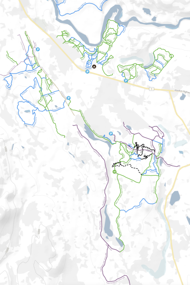
The map below is from Trailforks – it shows the named trails close to me. The green ones are rated Easy, the blue ones Intermediate. This just scratches the surface of what’s out there, ranging from gravel roads to gnarly single-track. I prefer somewhere between those two types.
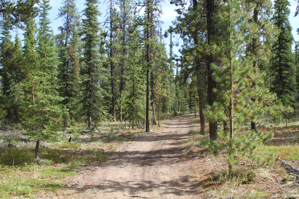
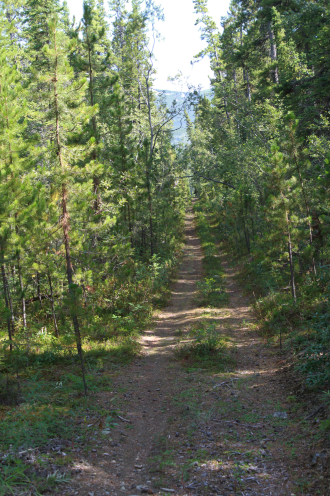
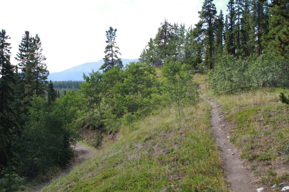
The first photo shows the Dam Road trail at 3:24, just after leaving the pavement. You can see a map and the fun Relive video of this 15-km ride on August 3rd here.
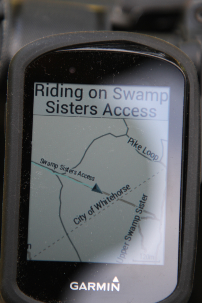
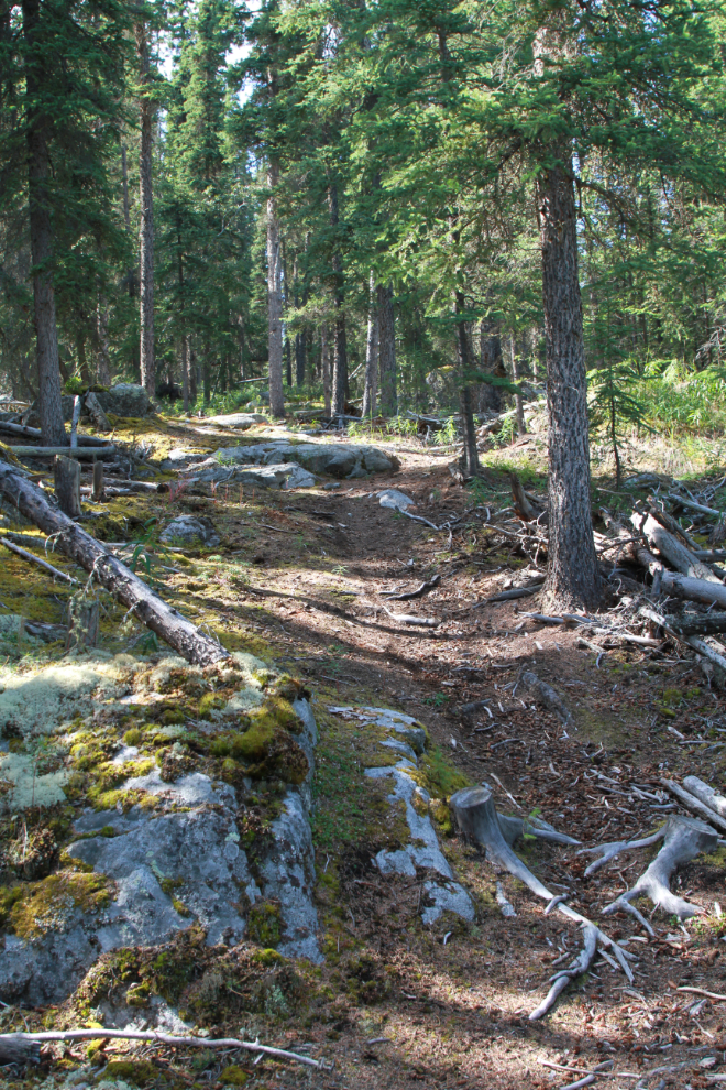
I soon turned off the green-rated Dam Road onto the blue Swamp Sisters Access. It starts off easy to suck you in 🙂
I mostly use the Garmin computer I bought recently for bike performance information (speed, battery, power assist level, etc), but it has the Trailforks data as well.
Just 11 minutes into the forest trails, this is really nice riding.
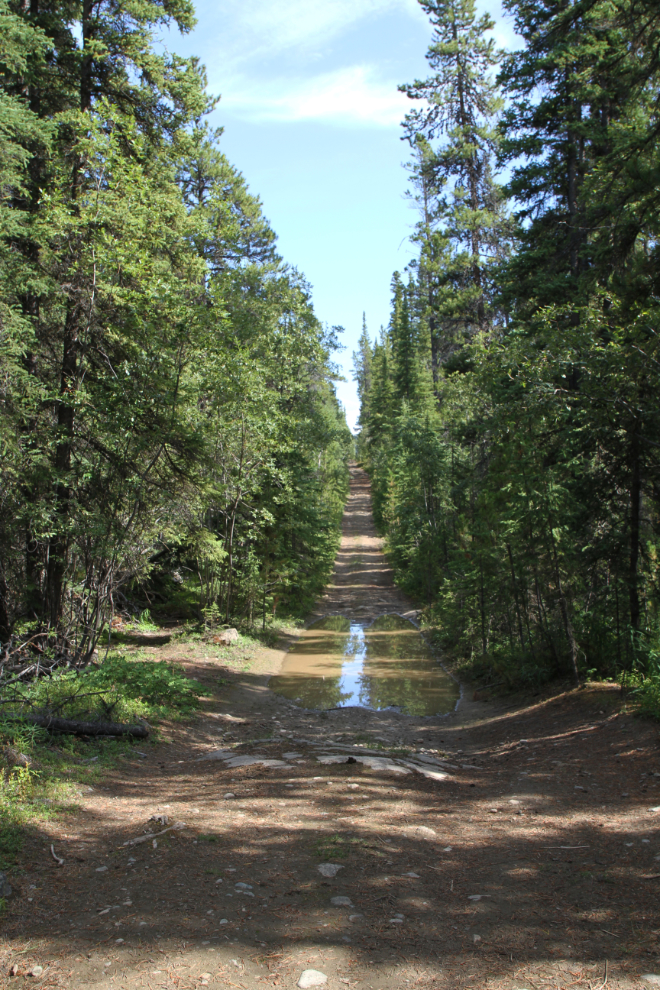
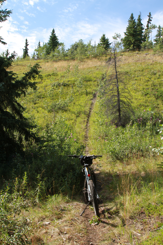
In the photo above you can see where the Swamp Sisters Access trail starts to drop – the next photo looks back at part of that drop.
At 3:42 my heart sank. Awww man! That s.o.b. is very steep and very high. It was all I could do to push my bike up. It’s so steep I wouldn’t even ride down it, so this trail has been removed from my possible routes – I sure wouldn’t want to end up at that spot when I get old 🙂
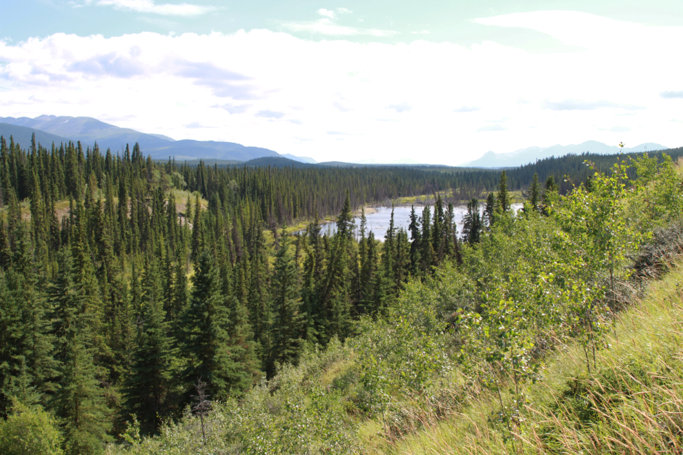
The next photo shows the view from about 2/3 of the way up that hill.
At 3:50, an intriguing spot to add to my explorations in the near future. This, I learned later in my Yukon History & Abandoned Places group, was probably the access road for the Cowley Park copper exploration project starting in the 1950s. That exploration area was well hidden in the trees right behind me when I shot this photo.
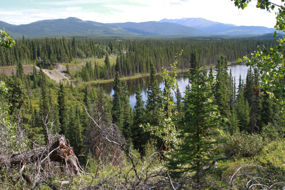
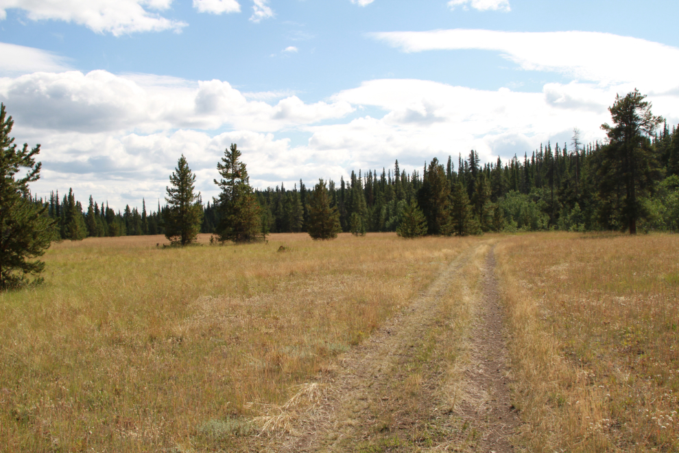
Although I haven’t found any evidence yet that it was, it seems hard to imagine that Mother Nature would build such a perfect airstrip as this one and people haven’t made use of it. It’s at least 1,500 feet long, and with 3 trees removed would be perfect. This photo was shot just 3 minutes after the one above.
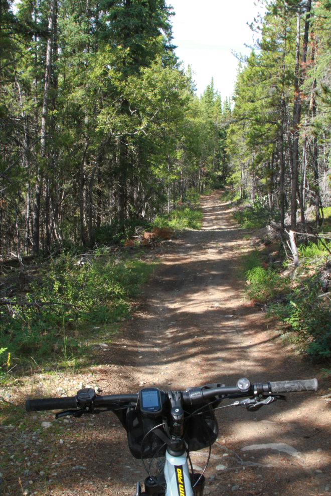
More really pleasant riding, at 4:13 as I was starting to take trails heading towards home.
I started down towards Mary Lake but then decided I don’t like the trail around a length section of floded road there so back-tracked to see if I could find a beter route.
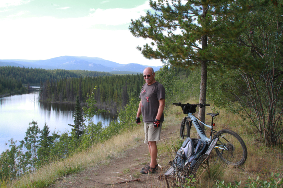
I decided to give the blue-rated Mary Lake Disc Gold trail a try.
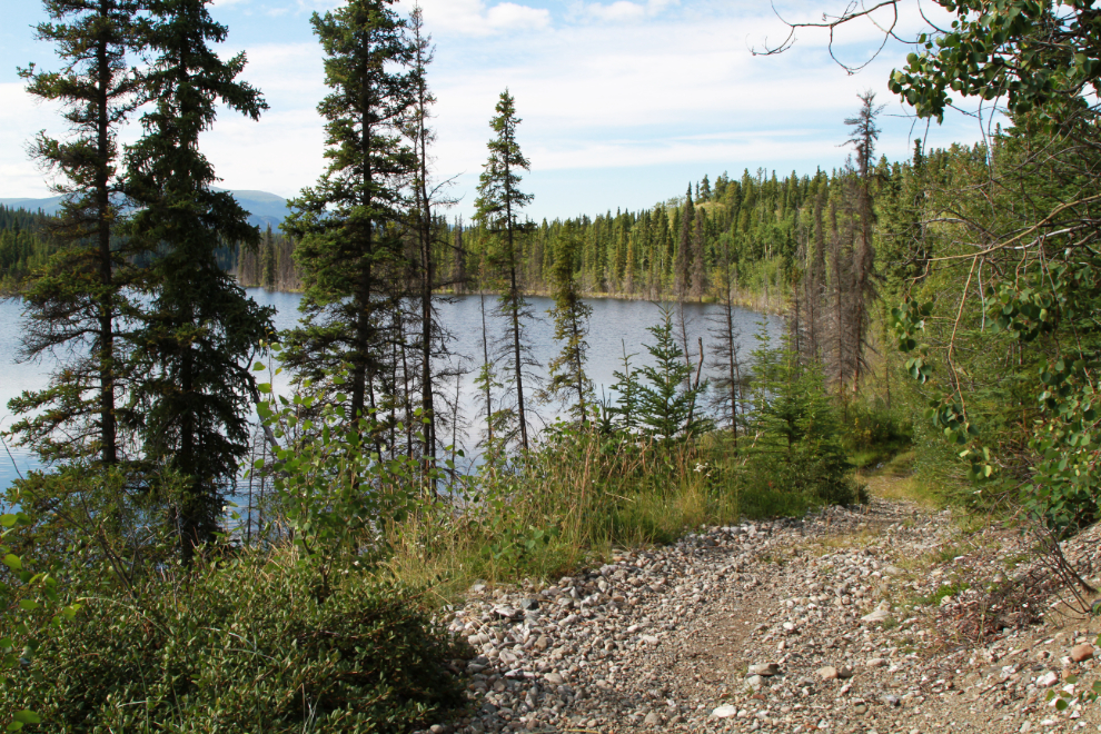
It’s an interesting trail, with the blue rating caused by 2 short but fairly steep hills. It took me to this wonderful viewpoint over Mary Lake, with even a bench.
I didn’t take anymore photos after the viewpoint – a connector trail took me down to the main road/trail along the lake and I was soon back home. Great ride! Well, except for that one hill that tried to kill me 🙂
A real fun outing by the looks of it… aided by technology in a very non instrusive way. The sort of thing I enjoyed on my ADV bikes for years, though pre gps, or for most years cell phone (let alone coverage) or Spot device. Now years later, I am not sure I would tackle most of my old trails without a bit of back up assistance to lessen not only my own internal worries about being stuck or hurt but also the family back home. Good to see you out exploring with so much energy and interest.