Hiking the Mount Begbie Lookout Trail
One of the challenges of writing this blog while I’m travelling is deciding how to divide it. Sometimes one day makes for a good post length, sometimes a couple of days. But there are times when a day has so much going on that a specific event or site needs its own post. Day 5 of the current adventure started off with a hike that, while not long, still deserves its own page.
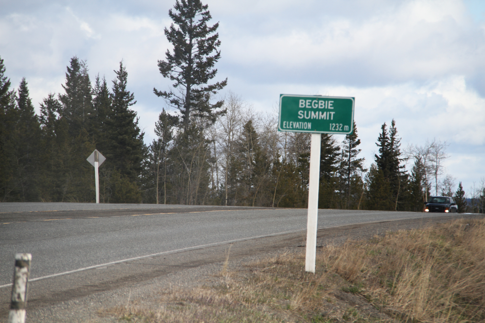
The trail isn’t marked, and like many such sites, is pretty much only known to locals. But, on Highway 97 south of 100 Mile House, a small sign notes that you have reached Begbie Summit at 1,232 meters elevation.
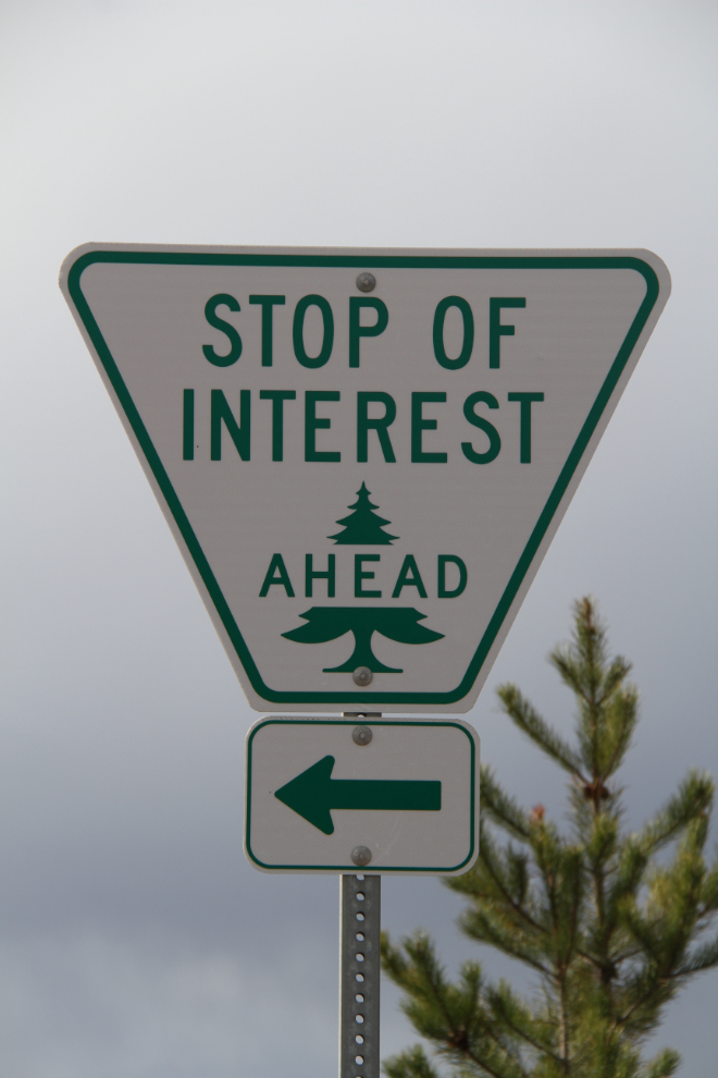
About 50 meters/yards south of the summit, another small sign points to a Stop of Interest. In 50 years of driving past that sign, I had never made that turn before.
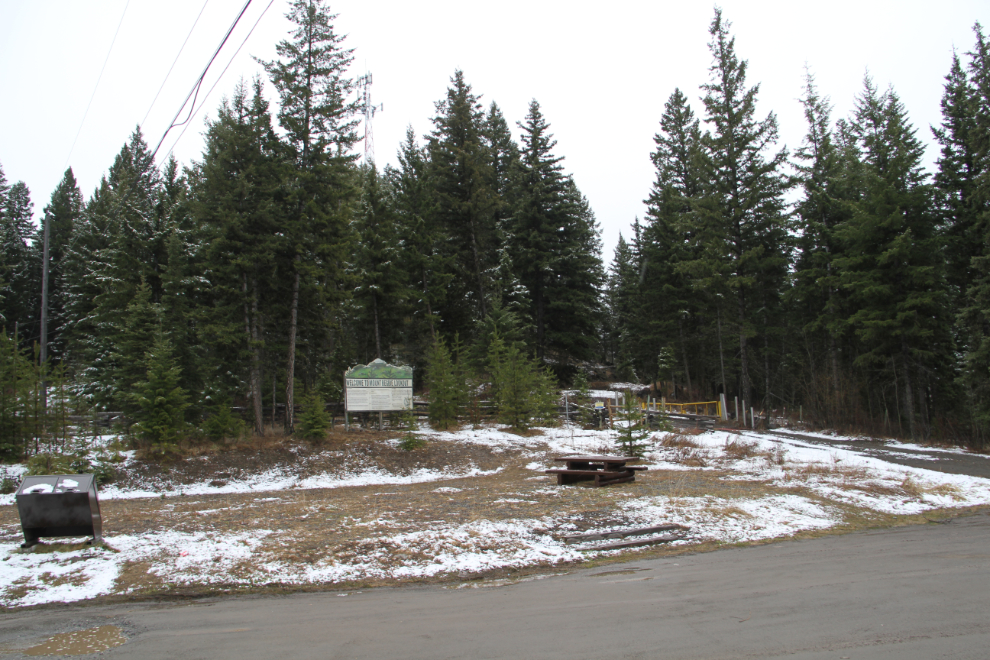
What I found was the Mount Begbie Lookout BC Forest Service Recreation Site, and it turned out to be the perfect camping spot for our fourth night on the road (April 29th). The area had gotten a couple of inches of snow that afternoon, and the weather forecast said that more could fall that night.
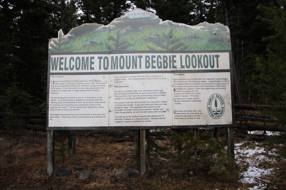
The information panel said that the hike to a forestry lookout tower only takes 5-10 minutes, so that was the plan for the next morning if the weather was suitable (there’s not much point in going to forestry lookout if there’s zero visibility).
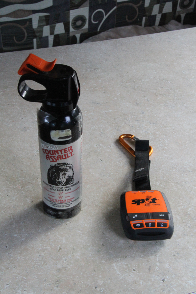
Just after 08:00, with high clouds and some clear patches, I got my SPOT and bear spray out, and headed out.
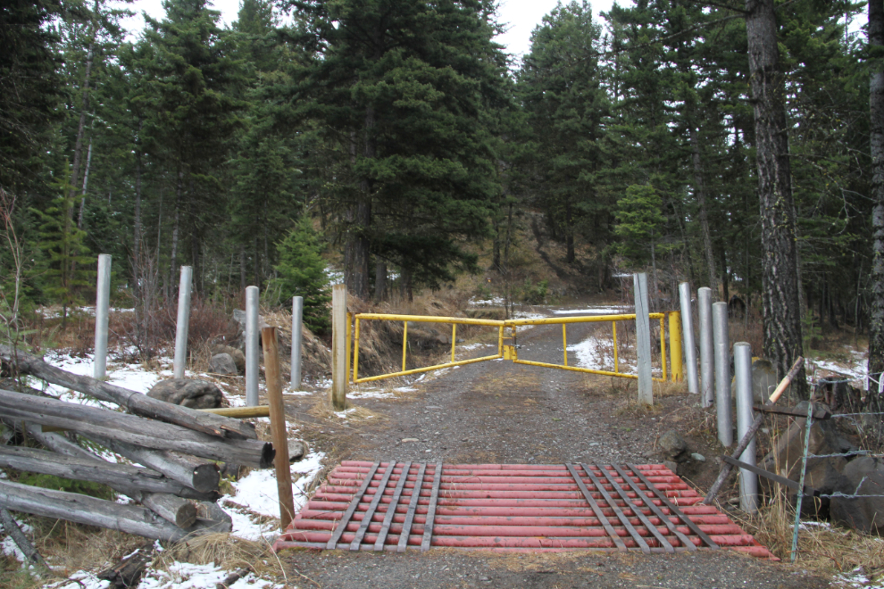
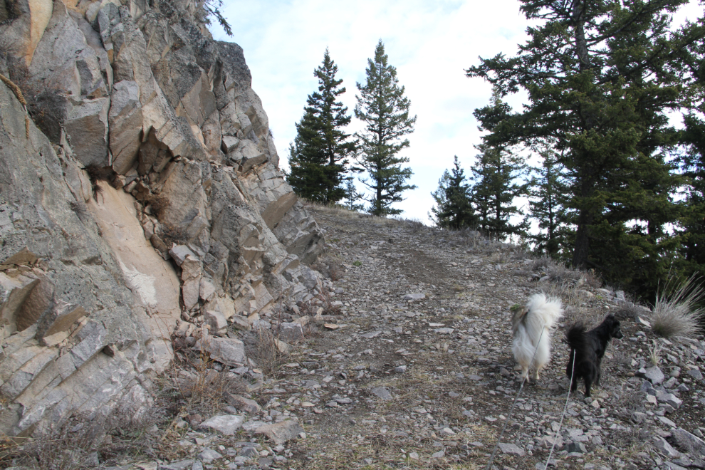
Cattle guards (“Texas gates”) not only stop cattle from crossing, they stop other animals including dogs.
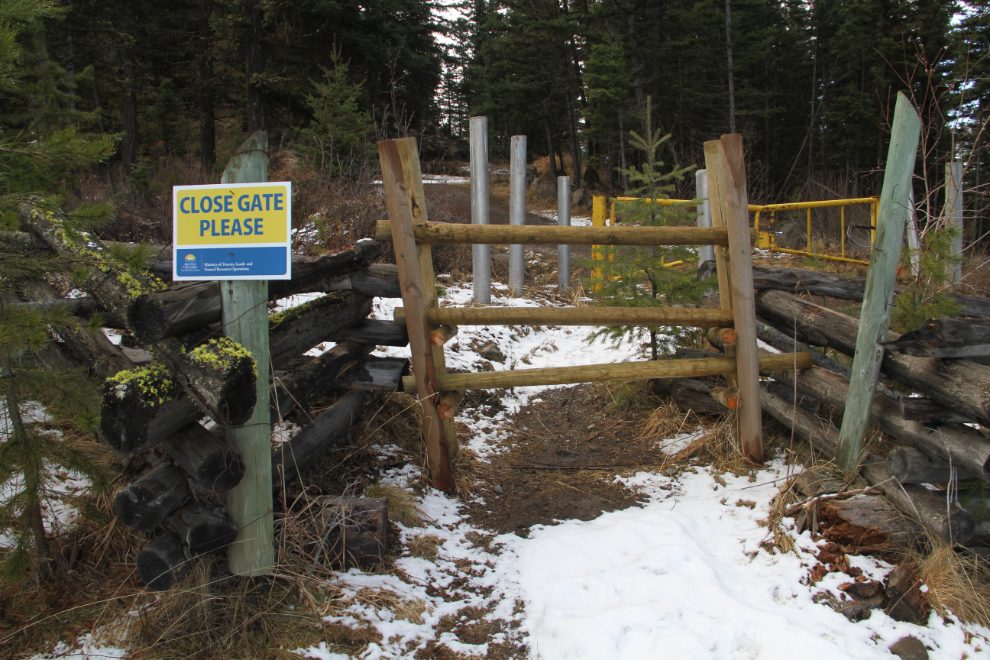
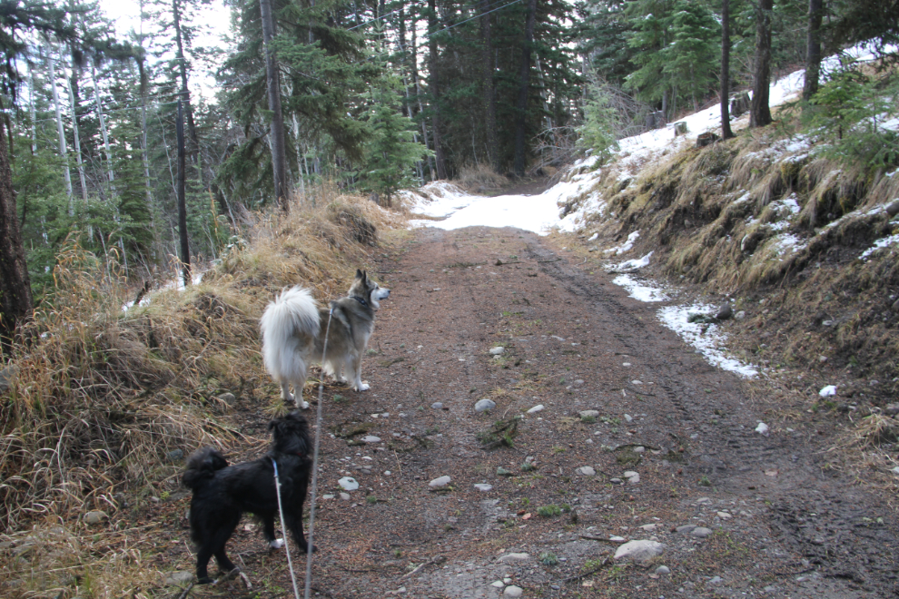
There is another dog-friendly access to the trail/road, though.
The grade is easy, the forest really pleasant even at +2°C.
Some impressive rock work got the road up to the top of the rocky knoll.
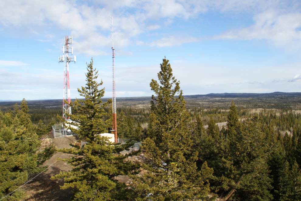
Just below the forestry lookout is a communications facility.
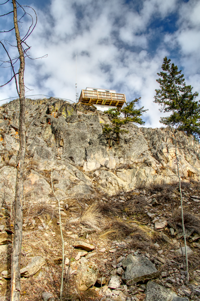
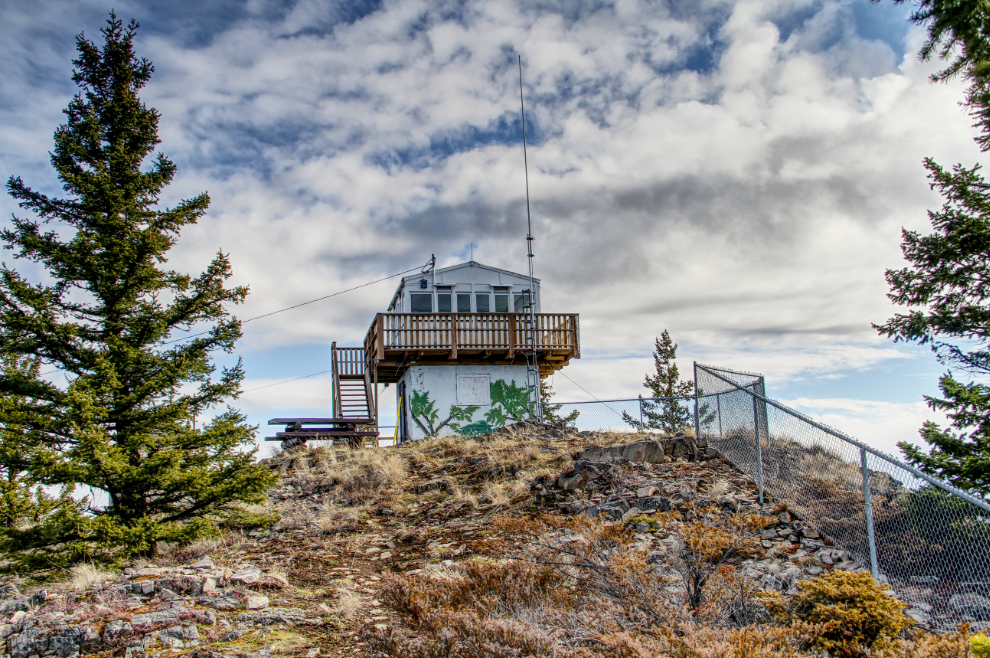
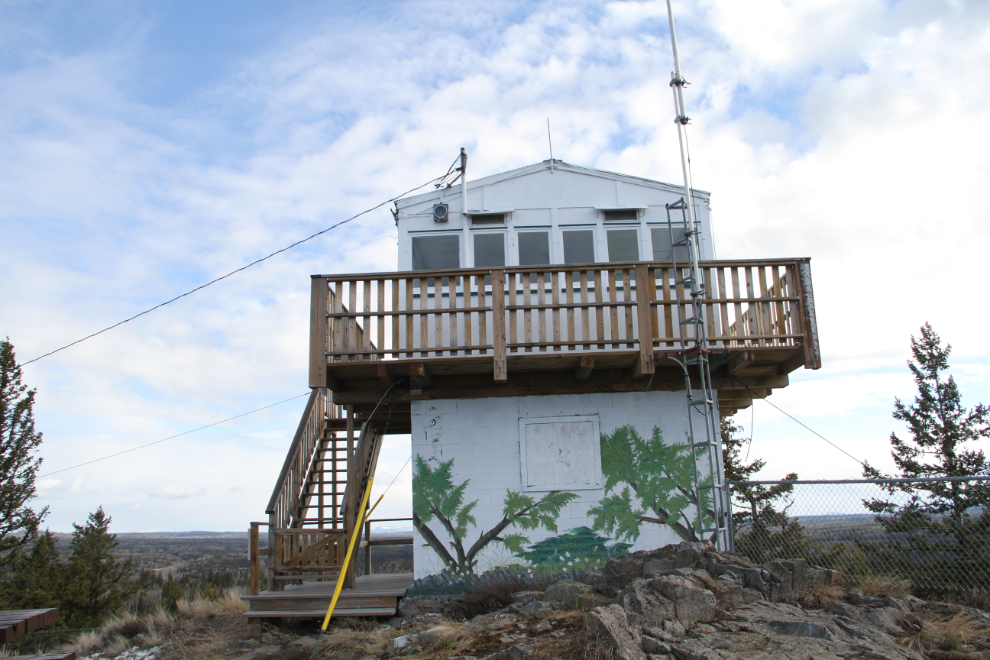
The forestry lookout, a sturdy and spotlessly clean setup for its assigned duty. The Mount Begbie Lookout is one of 11 fire towers in the region. It’s manned whenever the area is susceptible to wildfires.
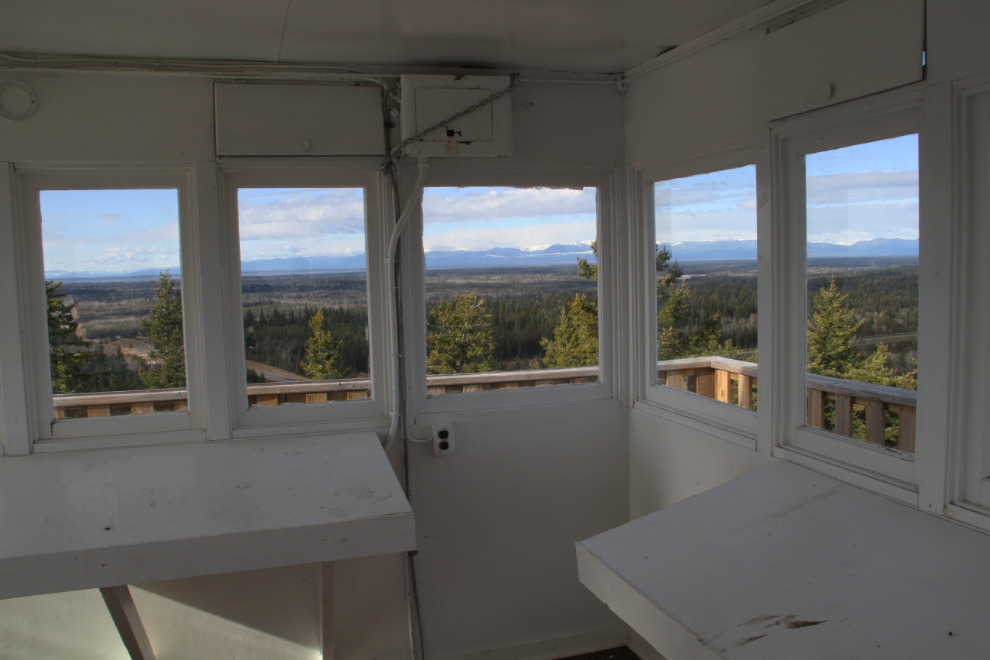
How’s this for an office view? The information panel at the parking area says that from this vantage point (at 1,276 meters) on a clear day, you can see almost all of the Cariboo region – almost 9 million hectares.
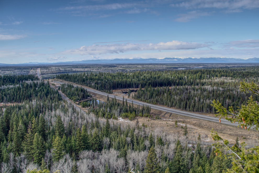
The view to the south, looking down Highway 97 towards Clinton.
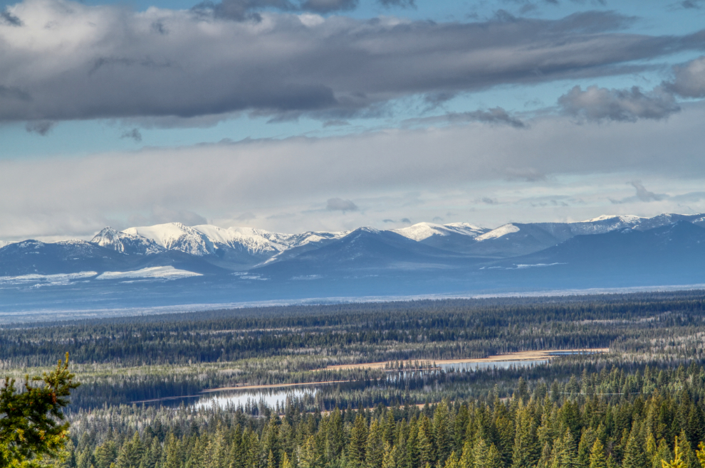
A telephoto view to the south-southwest.
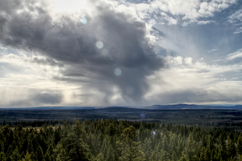
The tower is a pretty awesome weather-spotting vantage point, too!
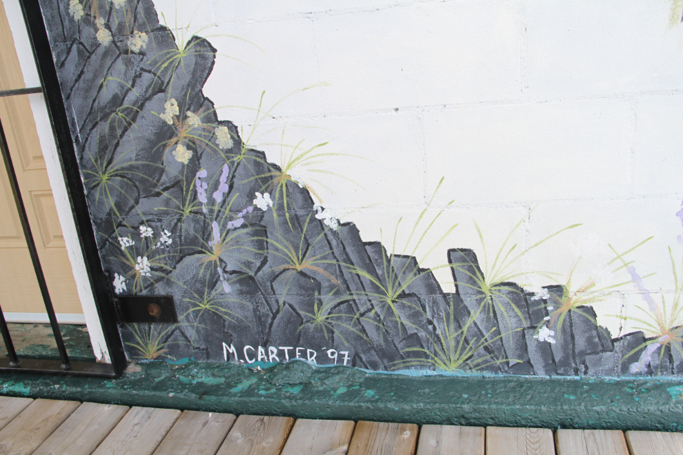
All four sides of the base of the building have been beautifully decorated.
Signed “M. Carter ’97” – one of the fire-watchers?
The entire exploration took under 30 minutes, but what a fine way to start the day off. At 09:50, we were back on the highway, headed towards the Thompson River somewhere – the Spences Bridge area, perhaps.