Hiking the International Falls Trail in the White Pass
After our epic hike into an unnamed valley in the White Pass on July 5th, Greg and I opted for an easier hike the next day. We had planned on climbing Summit Creek Hill, but scaled back to what is now called the International Falls Trail. This is the third time I’ve posted about this trail – the first time was in August 2013 when I discovered that there’s a view over the Chilkoot Trail if you hike far enough, and then in July 2015 I did a short hike on it. This is by far my longest post about it, though – there are 35 photos, a video and a map in this one. This trail gets my vote as the best-bang-for-the-buck trail in the region, and is infinitely scaleable – it doesn’t matter when you want a half-hour hike or a 10-hour one,
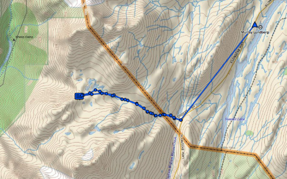
The map below is the feed from my Garmin inReach – click here to go to an interactive map and trip report at Ramblr.
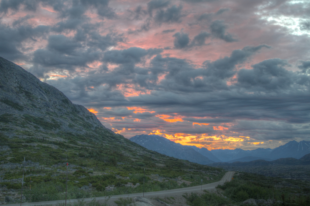
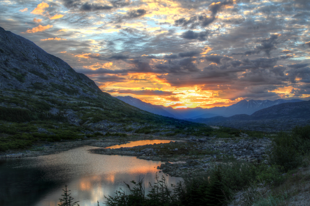
My day began early when I woke up and saw a very colourful dawn beginning. The first photo was shot at Outhouse Hill, a couple of miles from the motorhome, at 04:45. That was right at official sunrise.
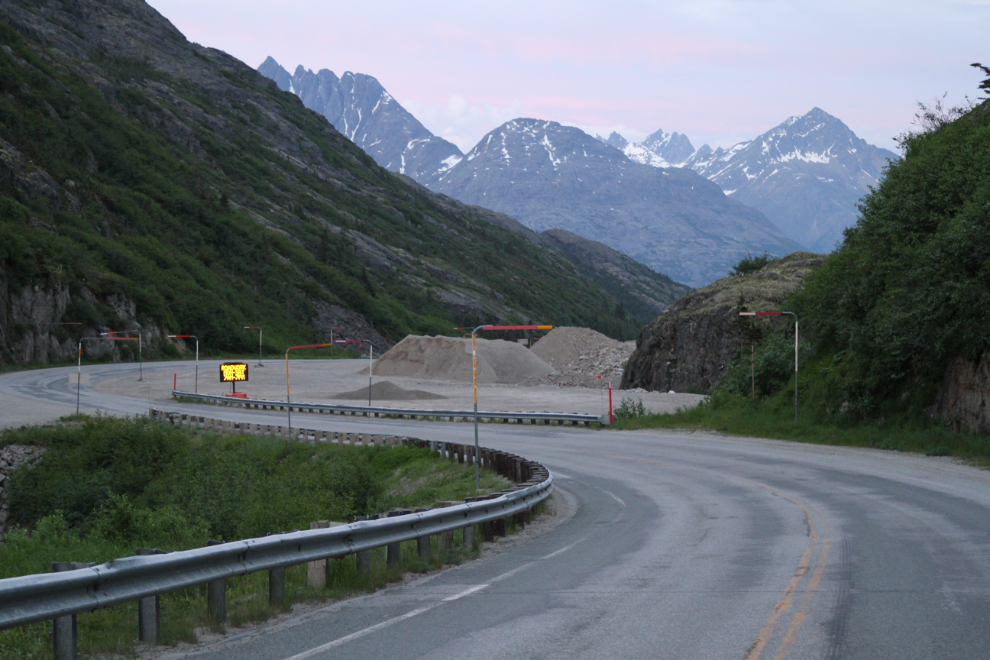
While I was out and about anyway, I decided to go down the hill on the Alaska side a bit and have a look at the new bridge being built at William Moore Creek. Getting there long before the work crews should allow me to get some photos.
One of the side benefits of the new bridge is the removal of a couple of curves on the road, using the rock blasted away for the approach to the new bridge.
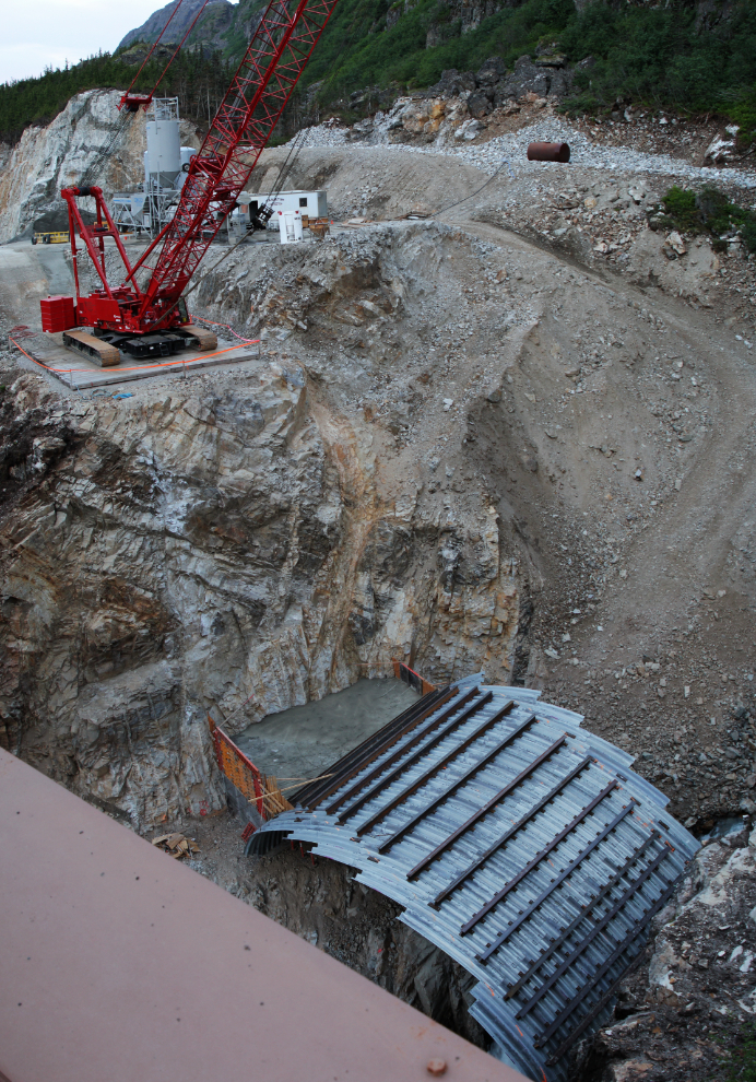
This is a broad view of the new bridge site.
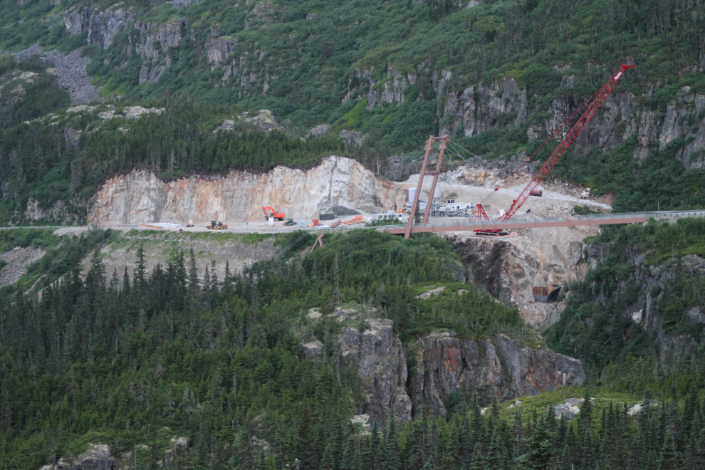
This is what I wanted to see. I parked and walked onto the existing bridge, and created this vertical panorama by stacking 3 photos shot at 18mm. So it’s a steel culvert about 60 feet across and 60 feet above the creek, being filled with concrete above that. I have no idea how that is supposed to be earthquake-proof, but…
Back up the hill at 05:10, the morning colours were still wonderful.
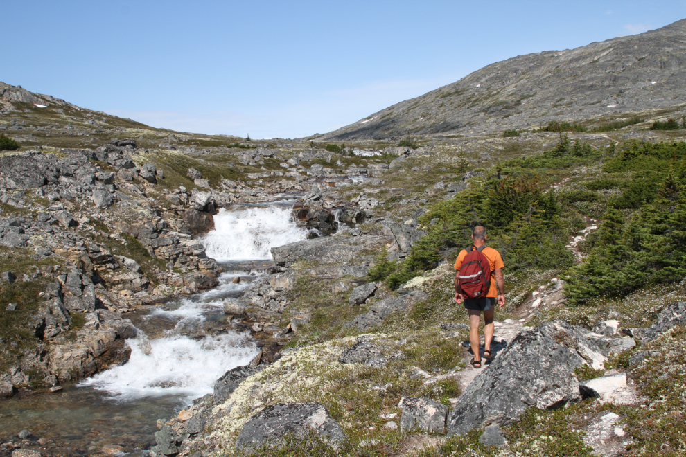
Greg and I got off to a pretty late start, and friends from Whitehorse flagged me down as we left the motorhome, to confirm directions I’d given them to the Inspiration Point Mine. I led them down the highway to a spot where I could show them the access, and by 10:45, Greg and I were back up at the parking area for the International Falls Trail. In the next photo, shot from the parking area, the trail runs up the right (north) side of the unnamed creek.
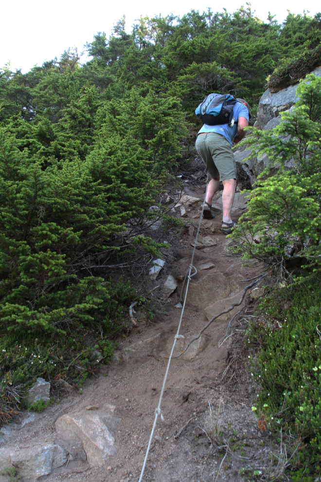
A tour company in Skagway is running guided hikes on the trail, and I assume that’s who has installed ropes for the extremely steep drop from the parking area to the valley bottom. They’re a welcome addition!
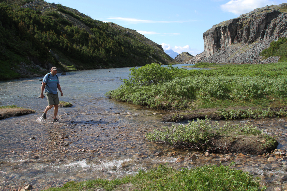
At the bottom, a creek crossing is required – it’s up to mid-thigh depth. Greg has joined me in wearing Keen sport sandals for hikes now, but many hikers carry crocs or flipflops for this crossing.
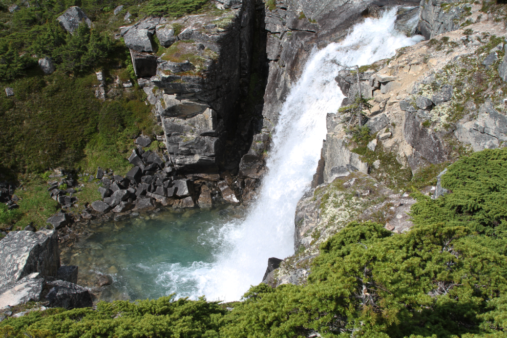
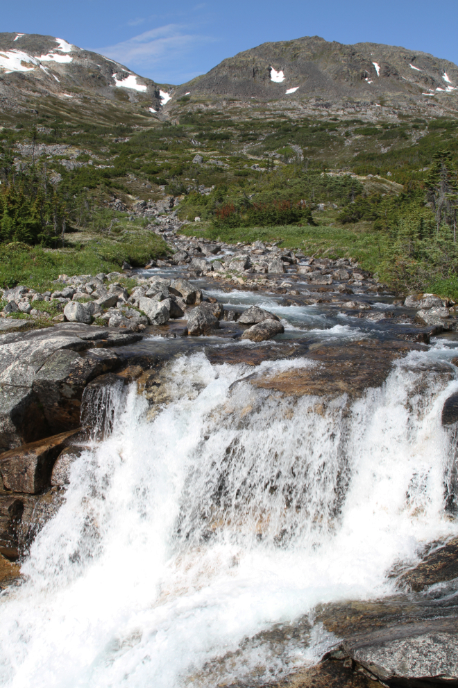
The next photo shows the first waterfall, just 5 minutes from the creek crossing. A side trail goes to the bottom of the falls, and it’s so beautiful that many people don’t seem to go any further than that spot.
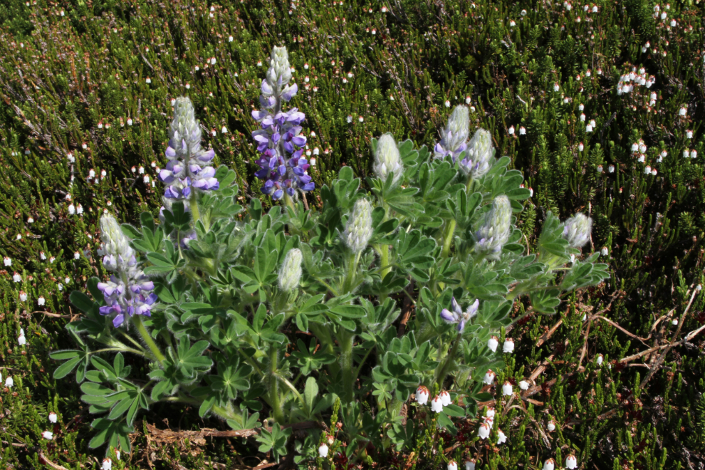
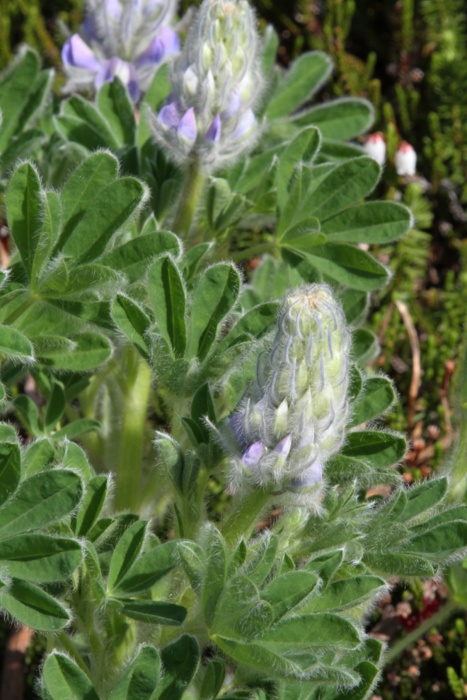
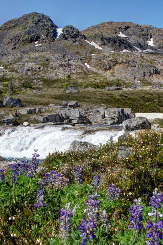
The Arctic lupine (Lupinus arcticus) was at its colourful peak in many spots along the trail. These plants have woolly coats that help trap heat and buffer the wind.
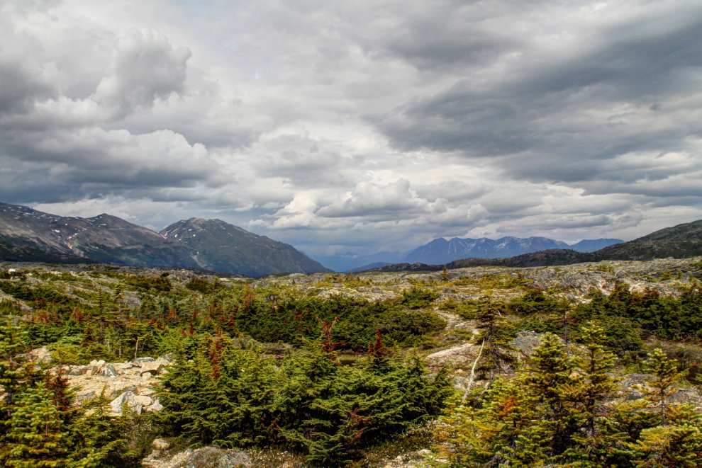
The creek along the lower part of the trail is an endless run of rapids and waterfalls. The trail moves away from the creek in several areas but there are side trails to any notable spots on the creek.
Although the trail starts in Canada, you soon cross an unmarked border into Alaska. The upper waterfall in the next photo is probably the highest one along the trail.
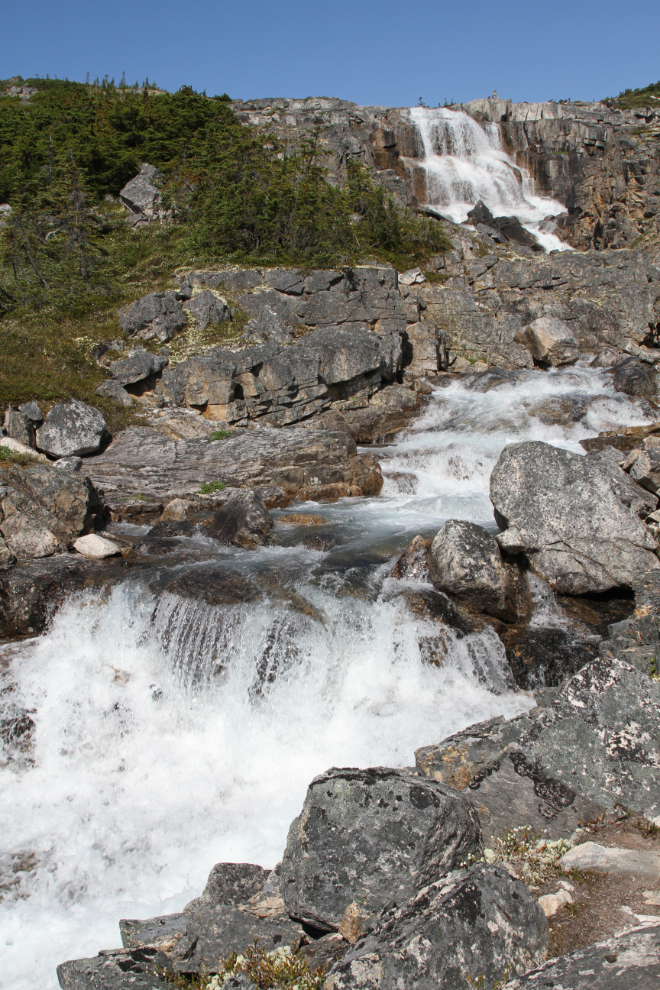
Looking back towards the highway from the waterfall seen in the photo above. At this point, we were exactly an hour from the car.
I just never get tired of waterfalls. The beauty, the power, the infinite variety, all attract me, both as a nature-lover and as a photographer.
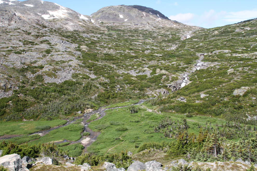
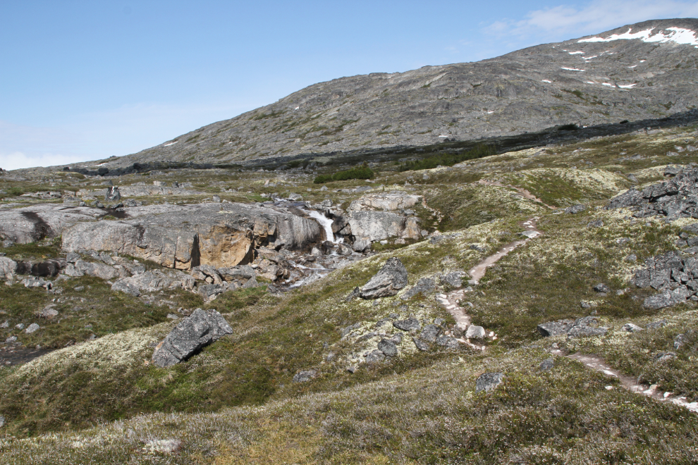
Just before noon we reached a large area where the creek flows across smooth, gently-sloping granite. I always spend a few minutes there. It’s seen in the final section of the following video that I shot in 3 places along the trail.
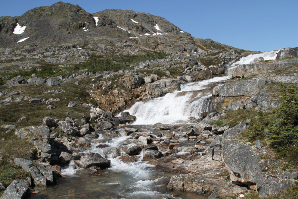
The next photo pretty well summarizes the trail for me – flowers, a waterfall on a crystal-clear creek, and bare peaks looming above.
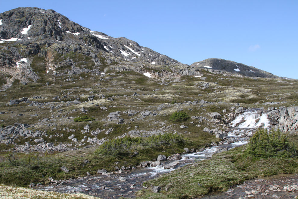
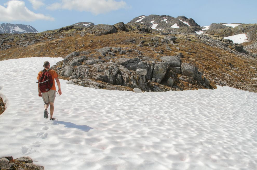
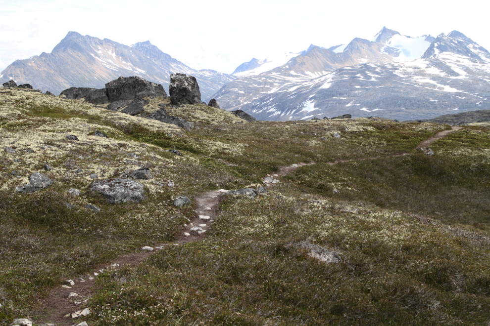
Now up in the alpine at 12:10, the walking was easy and the views uninterrupted.
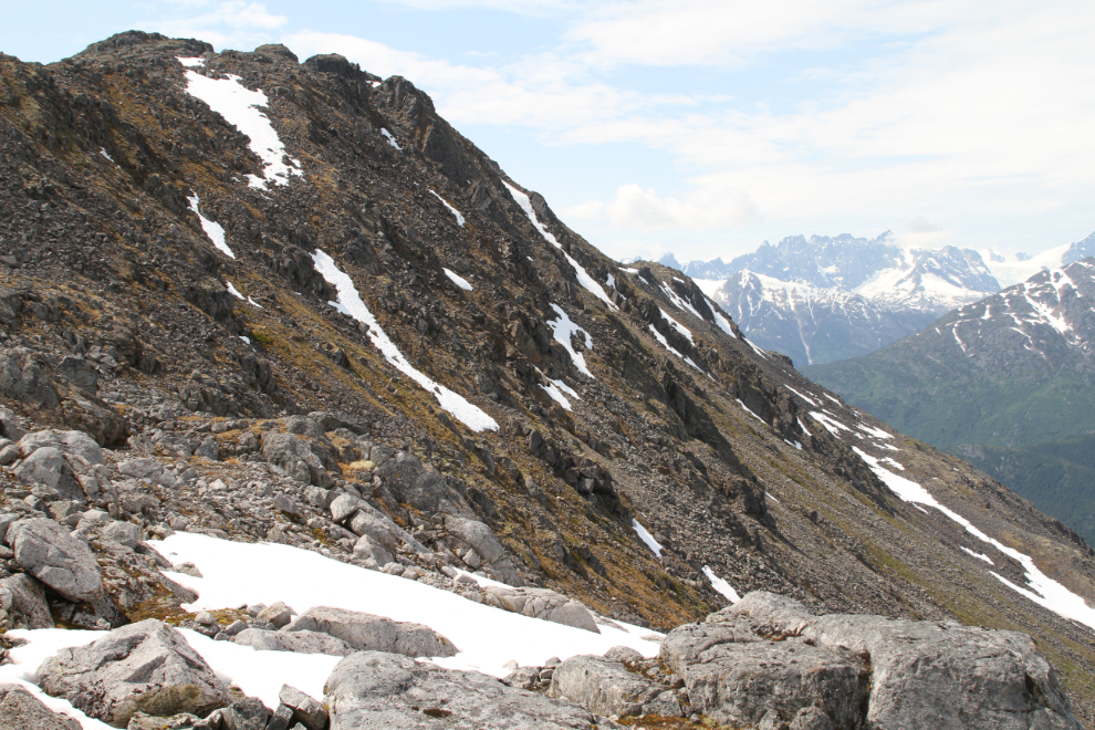
Once into the alpine, the trail gets fainter and fainter, and often disappears as the route is snow-covered well into June.
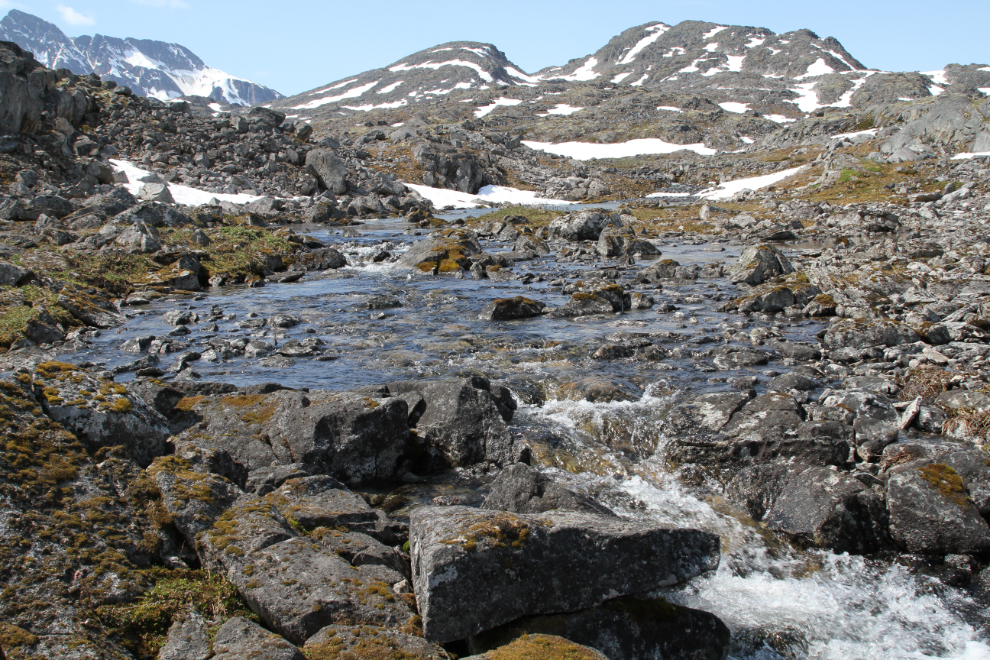
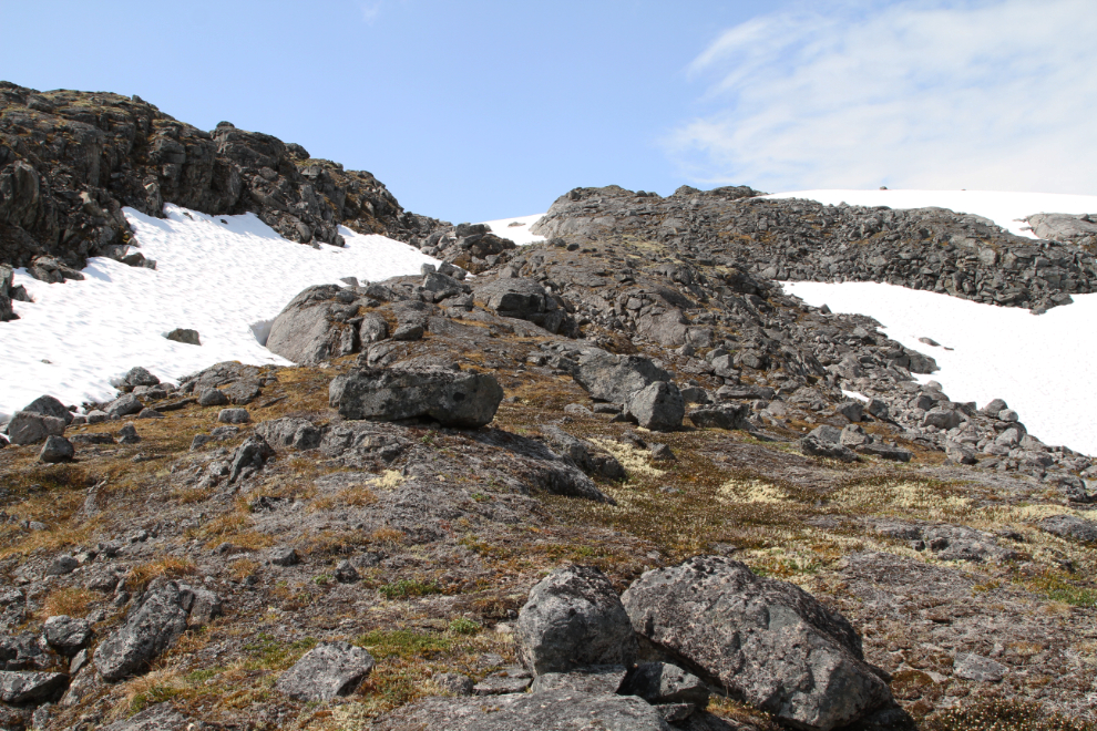
The average slope is much gentler in the high country, but some ledges still produce waterfalls and short but fairly steep climbs.
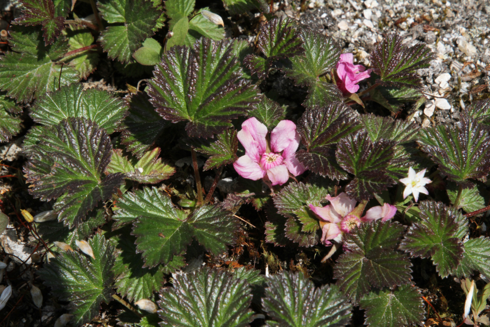
Flowers of many species were still abundant in the alpine, and there were so many perfect specimens that I took many photos. Some day maybe I’ll figure out what they all are. I had highs hopes for the PlantSnap app, but it says that this is a begonia. I don’t know yet what it is, but I know what it’s not 🙂
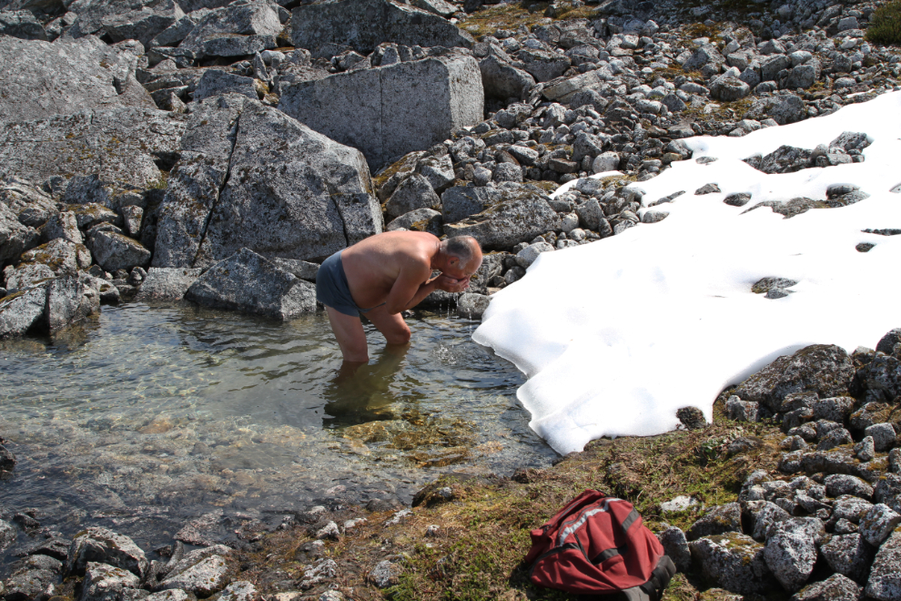
You can’t get much closer than that to the source of your drinking water to be sure it’s safe to drink.
By 1:00 pm we were encountering more and more snow, though we were able to navigate around all of it. The trail had completely disappeared – few hikers who start the International Falls Trail come this high.
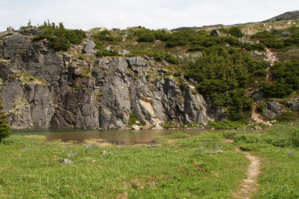
At 1:30 we reached one of the large lakes in the alpine, at 4,060 feet elevation (1,237 meters).
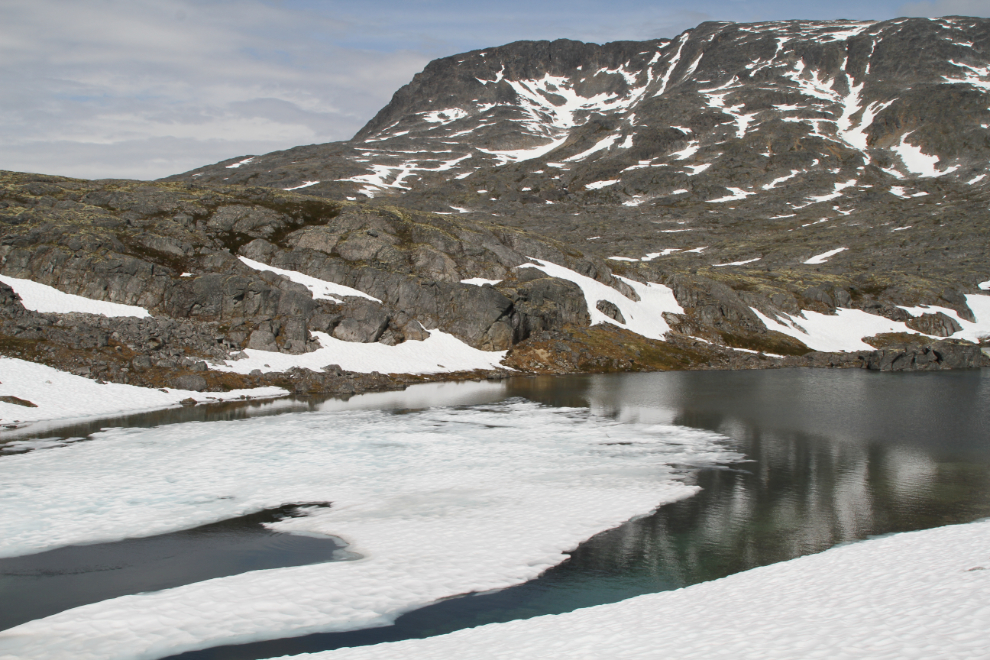
Above that lake, we had to walk across some patches of snow.
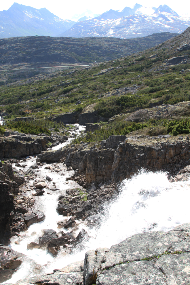
My hoped-for destination for this hike was the saddle that looks down on the Chilkoot Trail. A snow-free route to it had melted out, clearly just in the past few days.
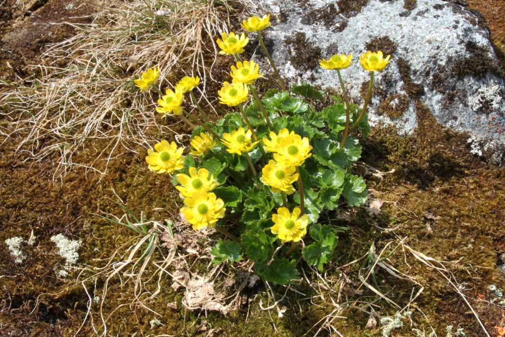
It’s amazing how fast some plants such as these Snow Buttercups can recover once the snow melts off them.
A panorama looking back down on the upper lakes and back towards the highway.
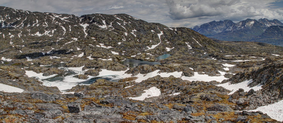
At 1:55, 3 hours and 10 minutes from the car, we reached the saddle. This 160-degree view of granite and glaciers, with the Chilkoot Trail far below, appears suddenly who you top the saddle. The last part of the drop from this point to the Chilkoot is extremely steep and probably not reasonable.
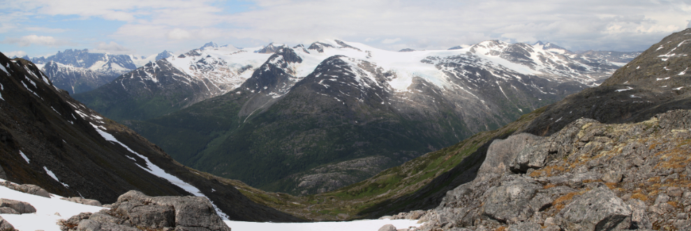
I hope that you all have a place that makes you as deeply content as this location does me. But was it ever cold! The wind chill was near freezing, and we didn’t stay long.
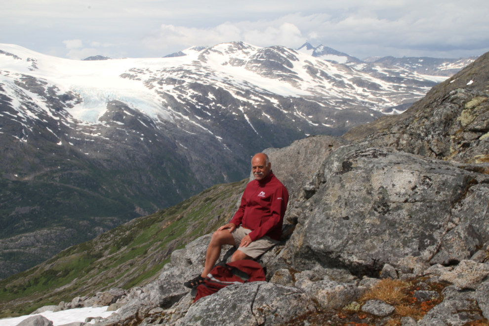
It’s possible to climb higher, and I have hiked to that summit, but we were happy with what we’d seen and started back down at 2:15.
Sometimes you have to get down on your belly to see tiny alpine flowers like this Arrow-leaved Coltsfoot.
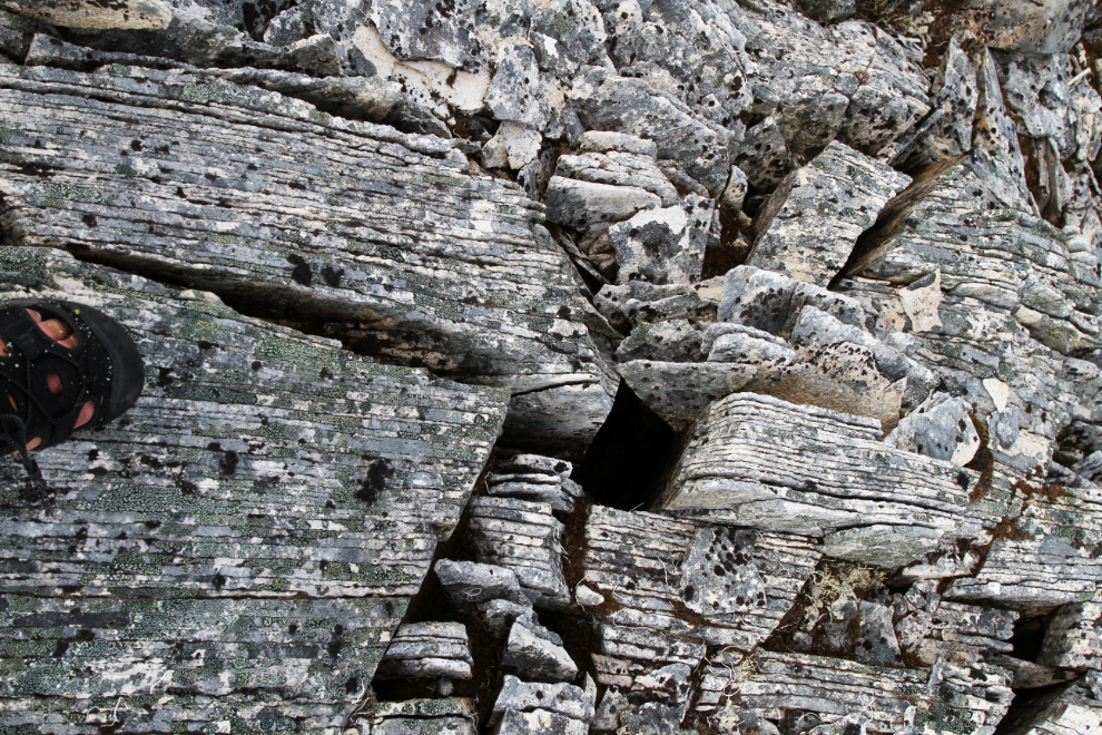
In the high alpine there were some wonderful areas of sedimentary rock, with some of the layers cardboard-thin.
As usual on my hikes, I took few photos on the way down, but this spot at 3:05 was irresistible.
At 3:55 we were nearing the creek crossing near the trailhead, and 10 minutes later we were at the car. The total hiking time was 5 hours and 20 minutes.
Heavy cloud had moved in as we neared the car, and by the time we reached the motorhome a nasty storm was coming.
When we got up the next morning, visibility in fog and light rain was near zero. We packed up and headed home – to Whitehorse for me, much further to Haines for Greg.
As I finish this post off, it’s cold and wet outside – it feels like Fall. But I have plent of work that needs to be done, and when the sun does come back I have many more ideas for places to explore.