Exploring Yukon History: Windy Arm
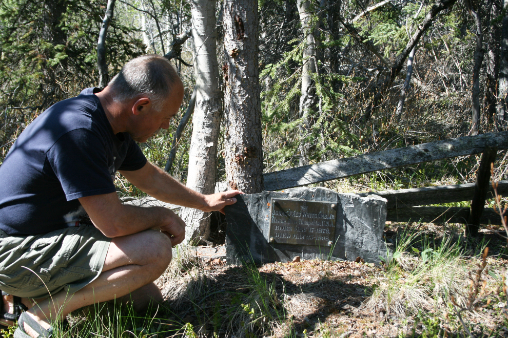
A couple of days ago, history-hunter Michael Gates called me to ask permission to use a couple of photos I took of a Klondike-era grave in a presentation. That spurred the thought that I should update my photos, as my last visit to the site was in 2003 – any excuse for a wilderness hike on a sunny day!
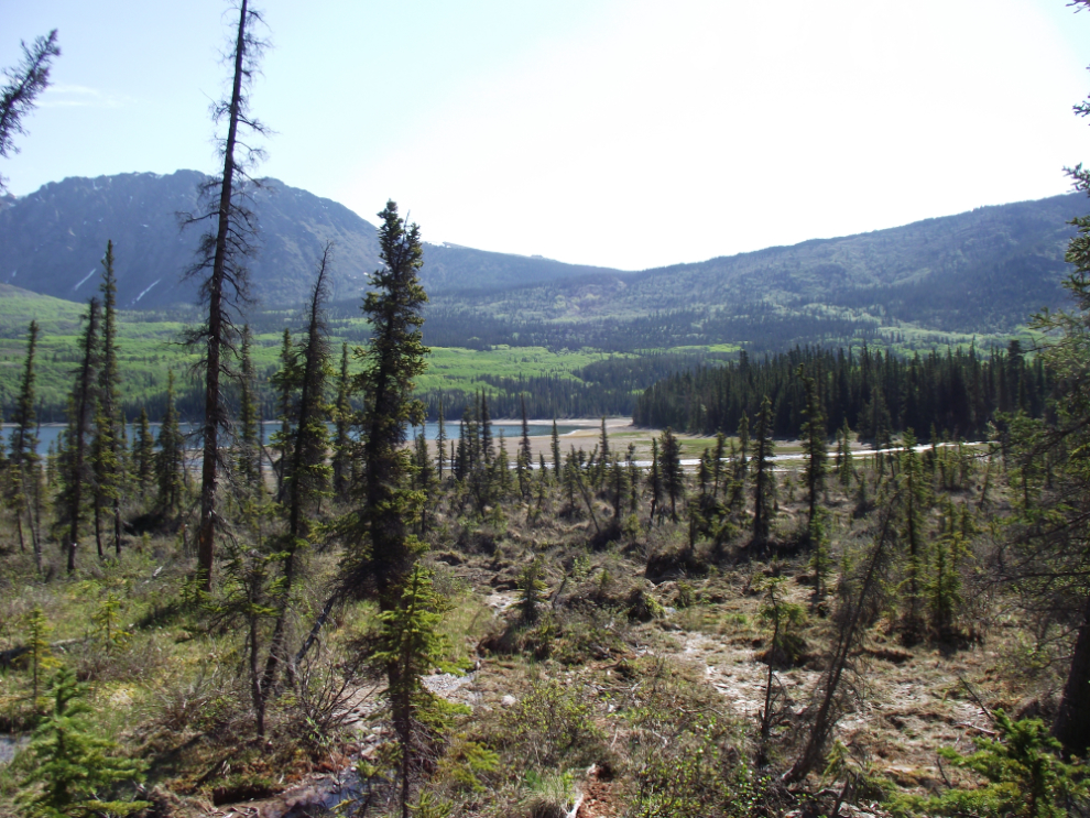
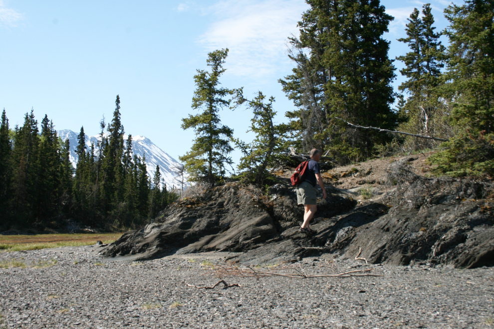
This morning, I drove down the South Klondike Highway to the south end of Windy Arm and parked the car on the side of the road. There is no trail to these graves and at high water it is a rough hike, but with the conditions today it promised to be very easy. The first few minutes involves bushwhacking through the aspen/spruce forest down a steep slope.
At the bottom of that slope is a very wet tufa deposit formed by a spring 1,000 feet or so up the mountain above. In a couple of weeks this area will be ablaze with the colors of thousands of flowers.
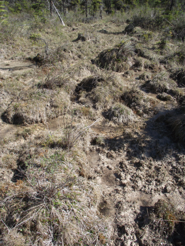
A closer look at the tufa deposit. Crossing it is a good reason to wear footgear that can handle getting wet – the Mion sandals I had on are perfect.
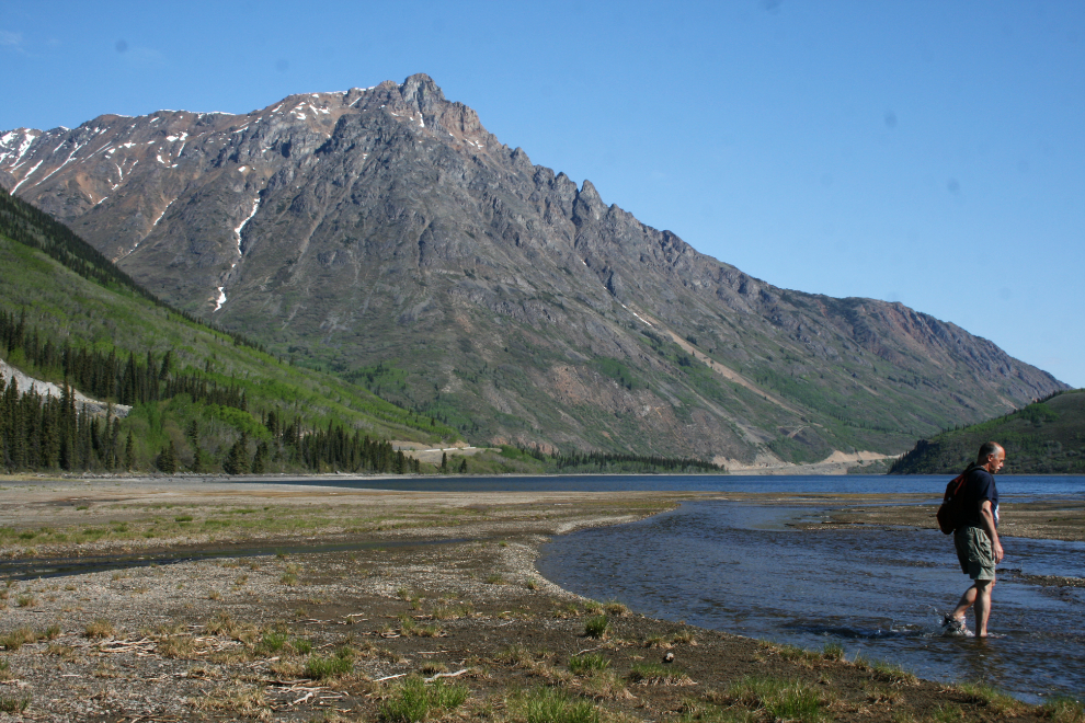
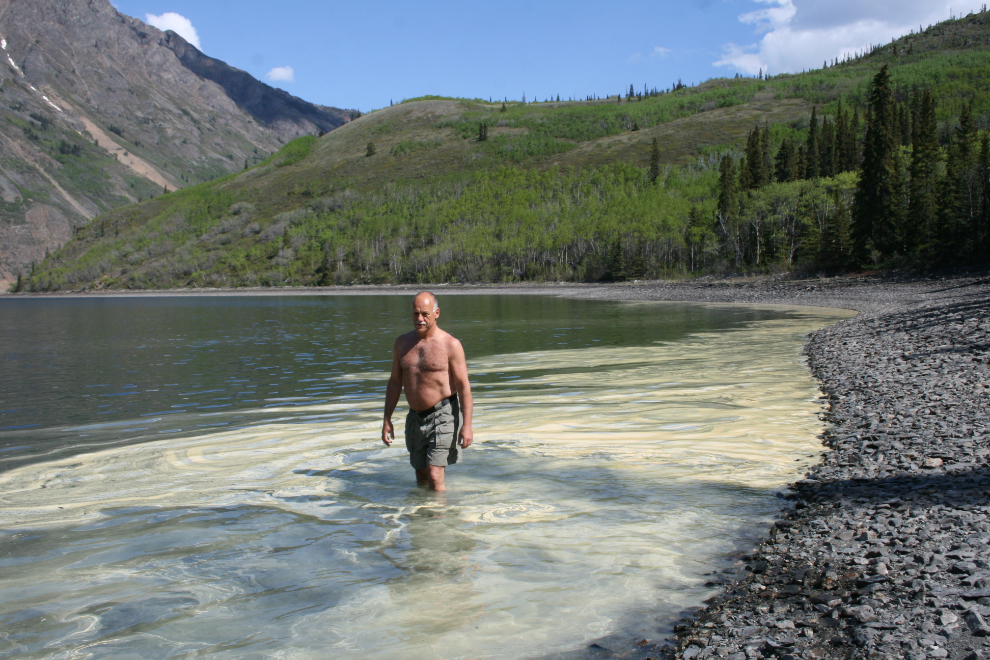
As expected, the exceptionally low water made the creek crossing simple – the last time I crossed it, the rushing snow-melt water was up to my waist. I don’t actually dress like this when I hike in the wilderness on warm days – the photo was staged to ensure that my blog keeps its “G” rating 🙂
These rocks were obviously placed by humans, probably at one of two periods, each about equally likely in my opinion. The first would have been during the Klondike gold rush, when it would have been useful in launching the few boats that were built here. The second would have been during the Conrad silver rush in 1906, when the townsite of Silverdale was laid out at this location.
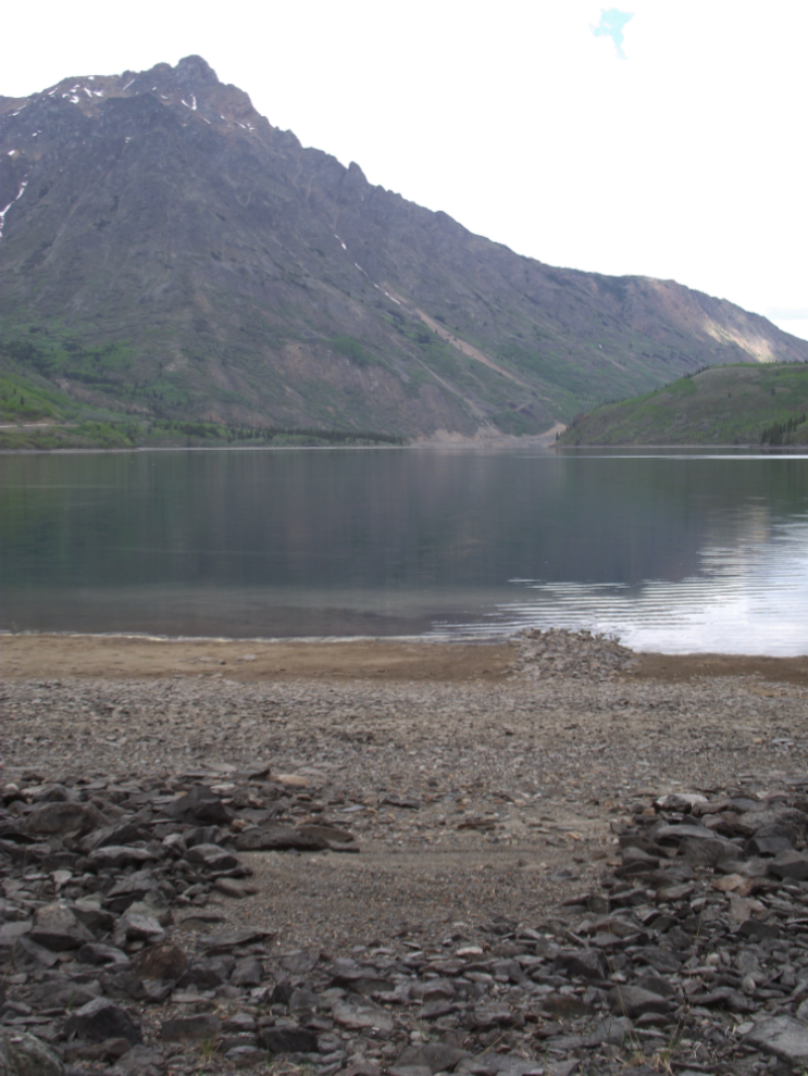
I followed the tracks of a single large caribou along the beach across almost the entire width of the lake. At the end of the island, the route to the graves goes up this rocky slope.
Inspecting the grave. See this article for more information about Mr. Whitcomb.
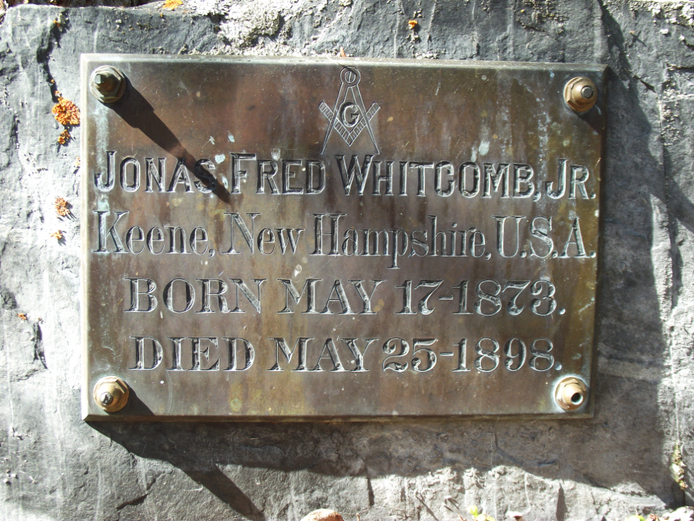
A closer look at the brass plaque.
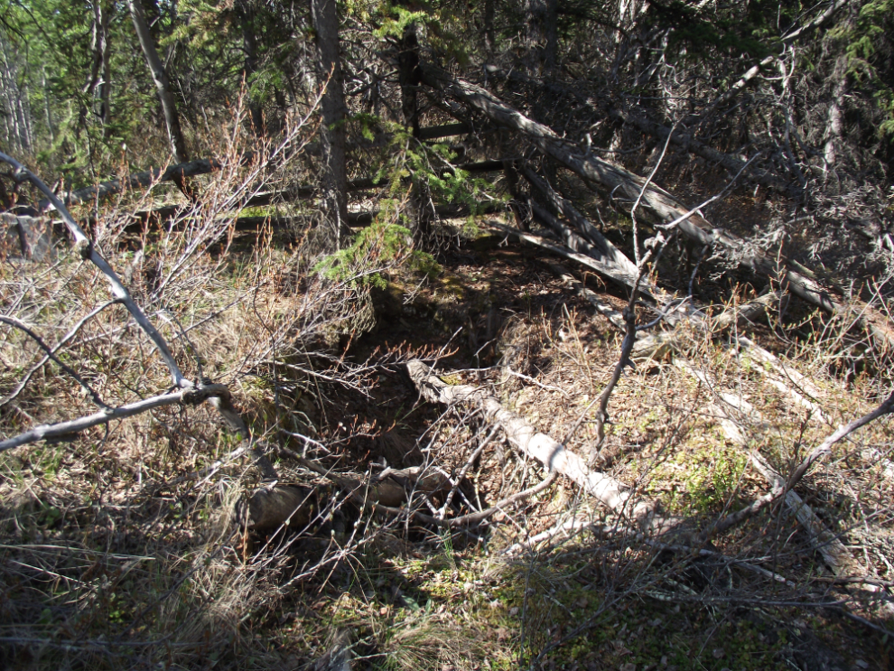
What appears to be an exhumed grave beside Whitcomb’s.
With lots of time to spend, I decided to take adavantage of the low water to check out a rumour I heard years ago about another grave above the lake on a high bench a mile or so north.
Along the beach I disturbed this butterfly, but it soon settled down again. It seemed to be drinking from the wet sand.

This sheltered bay was doing a good job of collecting pollen – everything in the southern Yukon is covered with it! I enjoyed the patterns made by wading through it.
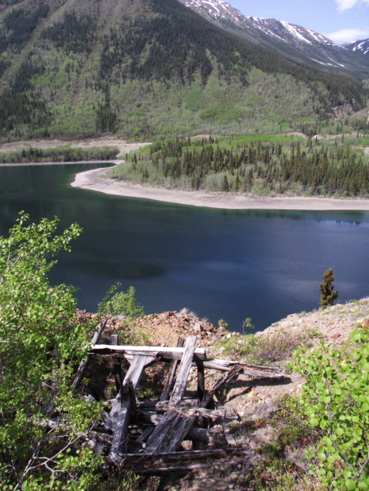
Climbing up a steep slope, I came upon not a grave but a mine! Well developed, this mine is clearly from the Conrad era – there was extensive exploration on this side of the lake in 1906 but I hadn’t heard of this particular claim, which is a few hundred yards into British Columbia. Seemingly associated with the mine was a stick propped up by rocks in exactly the location that I expected to find a grave, so I now think that the grave rumour was simply a matter of misinterpretation of the artifact.
I started to explore further up the slope but then decided that I just didn’t have enough time to do any proper survey of the area so headed back the way I’d come.
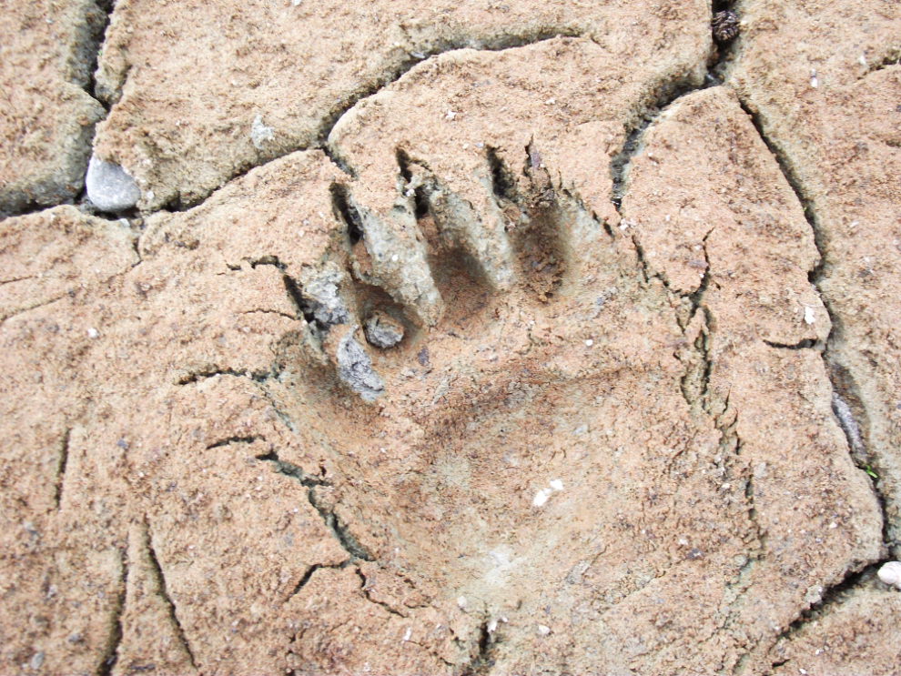
I’d been very bear conscious for the entire hike, to the point of having bear spray in my hand in some areas. About half an hour from the car, I came across a set of fairly fresh tracks of a black bear going the same direction as I was (this track was made by the front paw).