Driving BC Hwy 97 from Dawson Creek to Begbie Summit
Day 3, Friday, April 29th, would be a much easier day, with less than 400 km the goal, to a rest area north of Prince George.
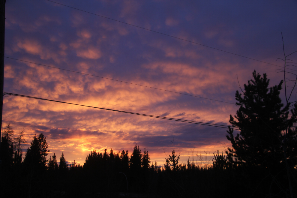
The sunrise in Dawson Creek was stunning. This was shot at 05:29.
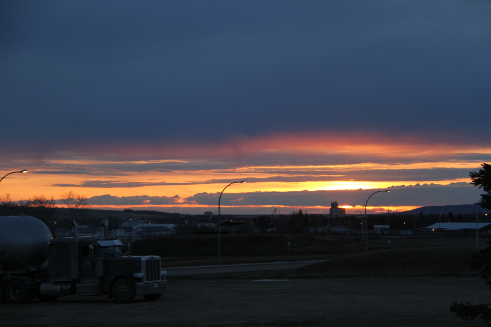
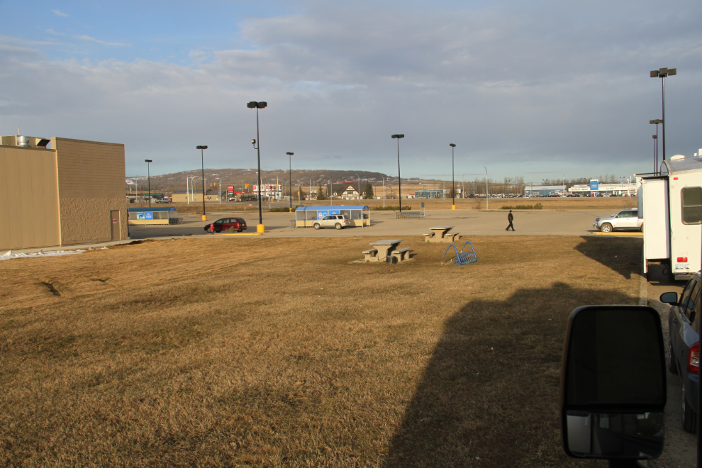
It was looking to be another mostly cloudy day, with rainstorms passing through as well as tiny bits of clear sky. At 06:44 as I had breakfast, the parking lot was still empty.
The morning was mostly taken up by writing my blog. Once that was done, aided hugely by a strong wifi signal from the McDonald’s in Walmart, I went over to the Dawson Creek Visitor Information Centre to see my long-time friend Joyce Lee.
Joyce and I drove 3 blocks to The Alcan Smokehouse for lunch, and were joined by Austin Weaver, the tourism development coordinator for Tourism Dawson Creek. The food was exceptional as it was on my first visit to what was then a new restaurant, last year. And the conversation, with each of us seeing tourism from slightly different perspectives, is always really interesting and could go on for hours. But, Joyce and Austin have jobs, and I had a highway calling my name…
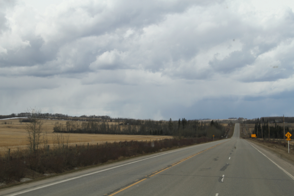
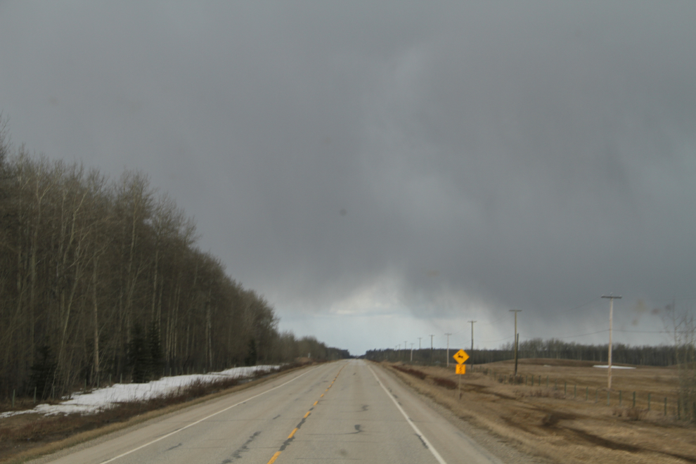
Heading south on BC Hwy 97 at 1:28 pm. I set the GPS to the address of the vet I needed to see on Saturday – it was exactly 400 km from the Alaska Highway junction.
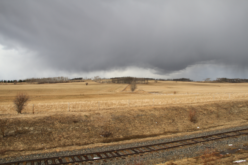
Fifteen minutes we were hit by a really nasty storm that included sleet.
At 2:00, a large paved pullout with a broad view, and a puppy who made it clear that it was nap time, prompted a stop.
Looking back towards Dawson Creek from the pullout an hour and three-quarters later. Tucker was very snuggly so the nap lasted longer than usual 🙂

Dropping down to the Pine River crossing. A fellow was flying a drone to get a view of the highway bridge and much higher railway bridge there.
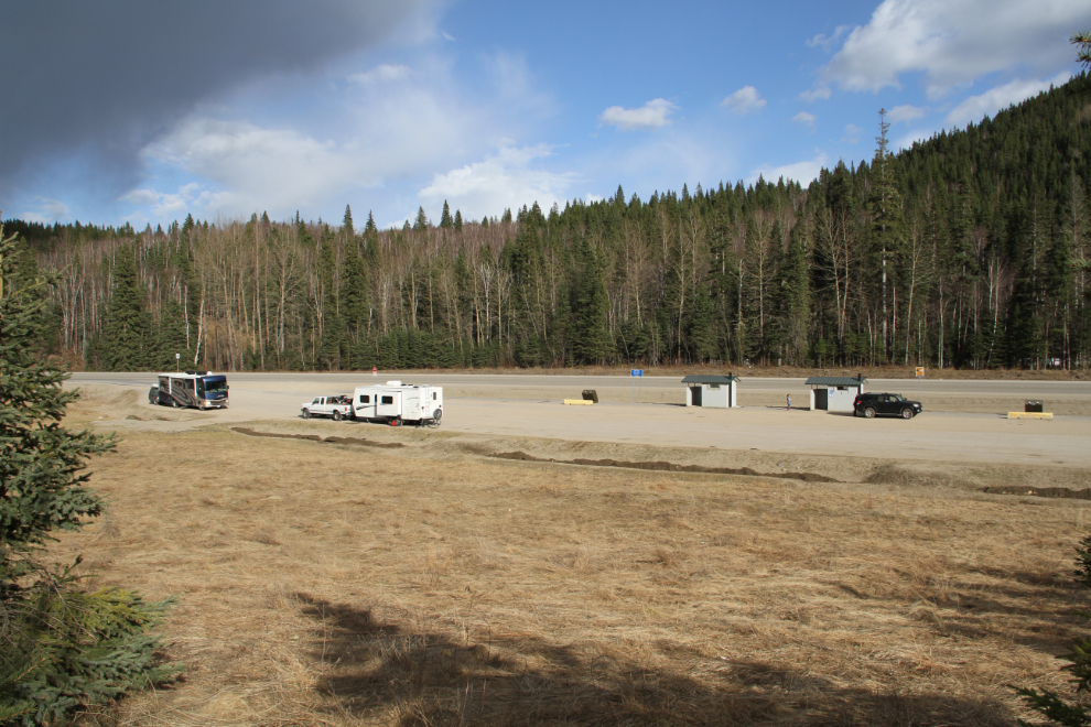
We reached the East Pine rest area at 5:00. It’s a great place to have a long play with Bella and Tucker, then they and Molly got dinner. This photo was shot at 5:34.
Ten minutes after the last photo was shot, a patch of blue sky lit our world up. I thought about spending the night there, but decided to continue on.
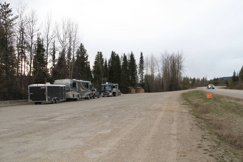
Just before 7:30, we reached my planned overnight stop, the Crooked River rest area, about an hour north of Prince George.
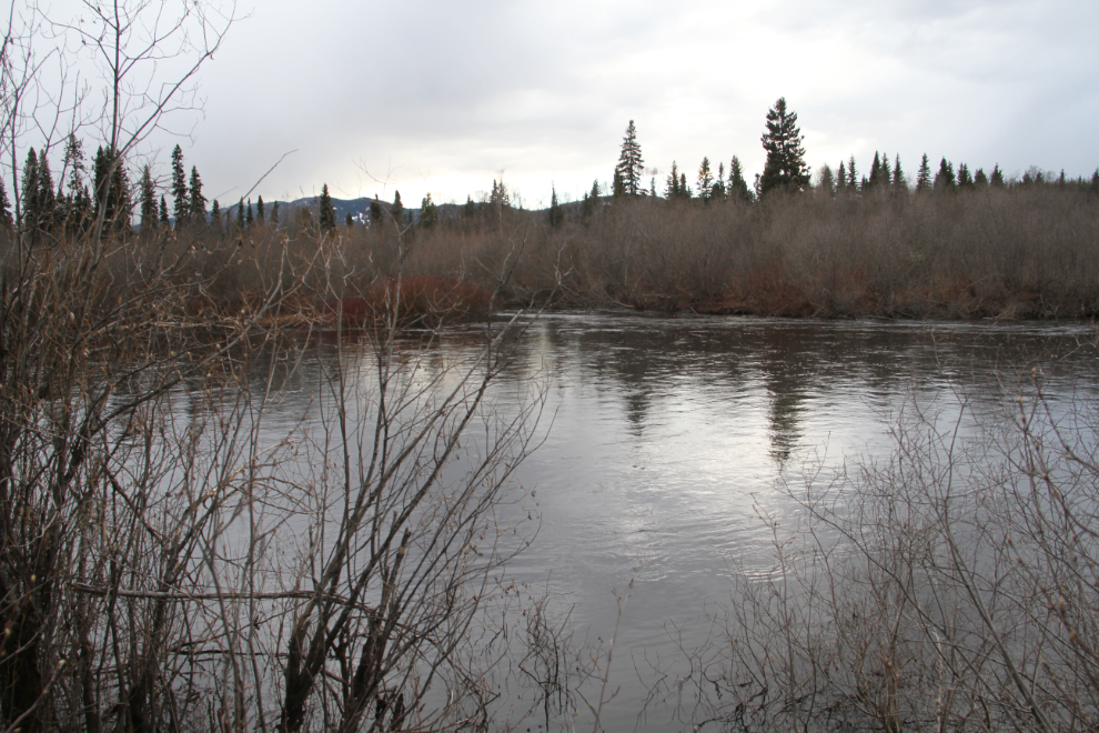
The Crooked River is full to the brim, and maybe a bit over-full.
The view from the dinner table. “Garcon, a table with a highway view, please.”
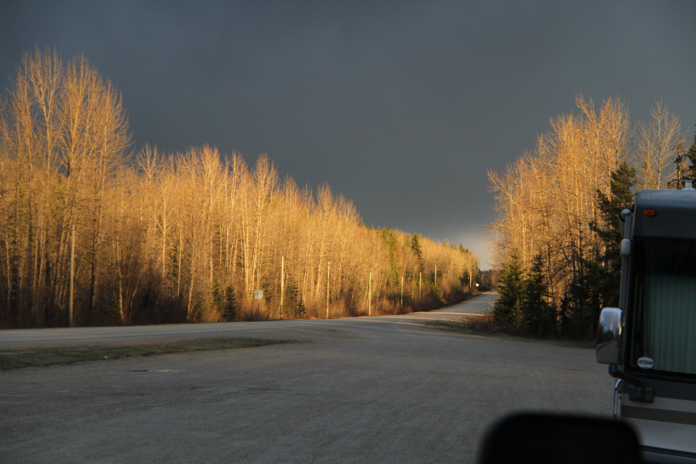
It was a beautiful, quiet night, with a sky full of brilliant stars (I don’t close the curtains at the head of the bed). There was very little traffic on the highway. On Saturday, there was a light frost, with the temperature sitting at -2°C.
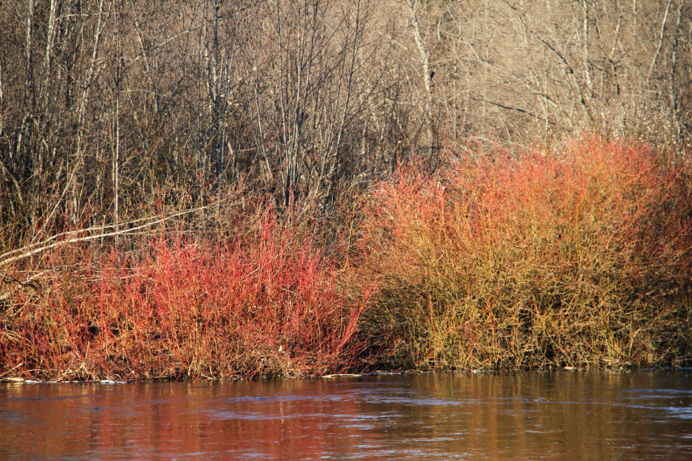
In the morning light, red willows starting to spring to life along the river.
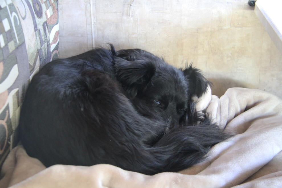
After breakfast and a good ball-play in the huge parking lot, it was time for a bit of a nap on the seat beside me while I got some work done.
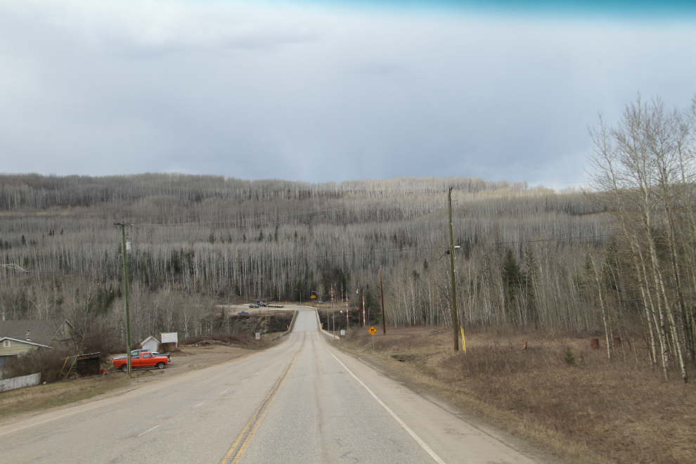
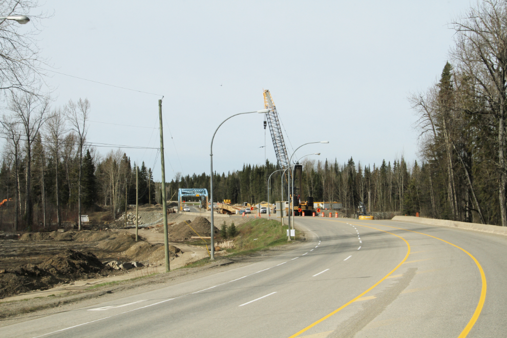
Back on the road, I was really glad to see this bridge being replaced. I’ve always hated it when driving a big rig – it seems very, very narrow. Many others feel the same way, and it’s common to see RVs and semis coming down the middle of the bridge.
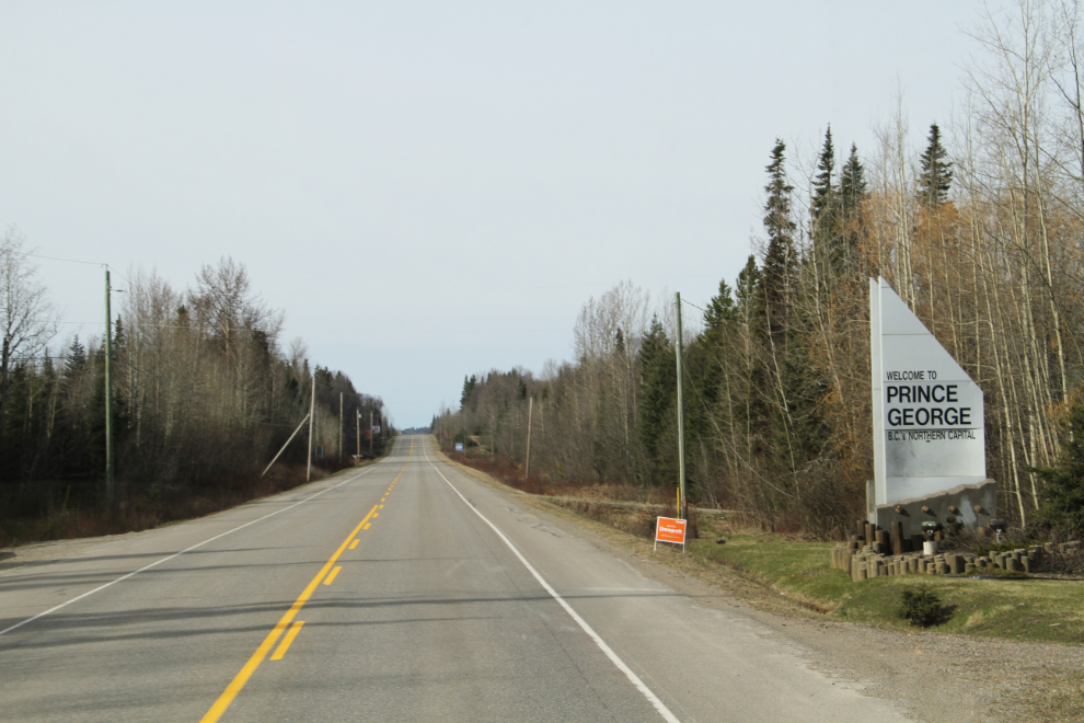
At 09:24, Prince George, “B.C.’s Northern Capital,” welcomed us. I’ve always found it funny to call Prince George “North” when it’s very clearly “central”, but whatever 🙂
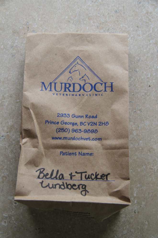
I had to make a rather elaborate detour to go to Murdoch Veterinary Clinic to pick up tick medication that somehow got missed in Whitehorse. On Friday night, I found that Tucker had a badly-split nail, and a vet tech was quickly able to solve that problem as well. Murdoch gets 10/10 for the entire process – highly recommended.
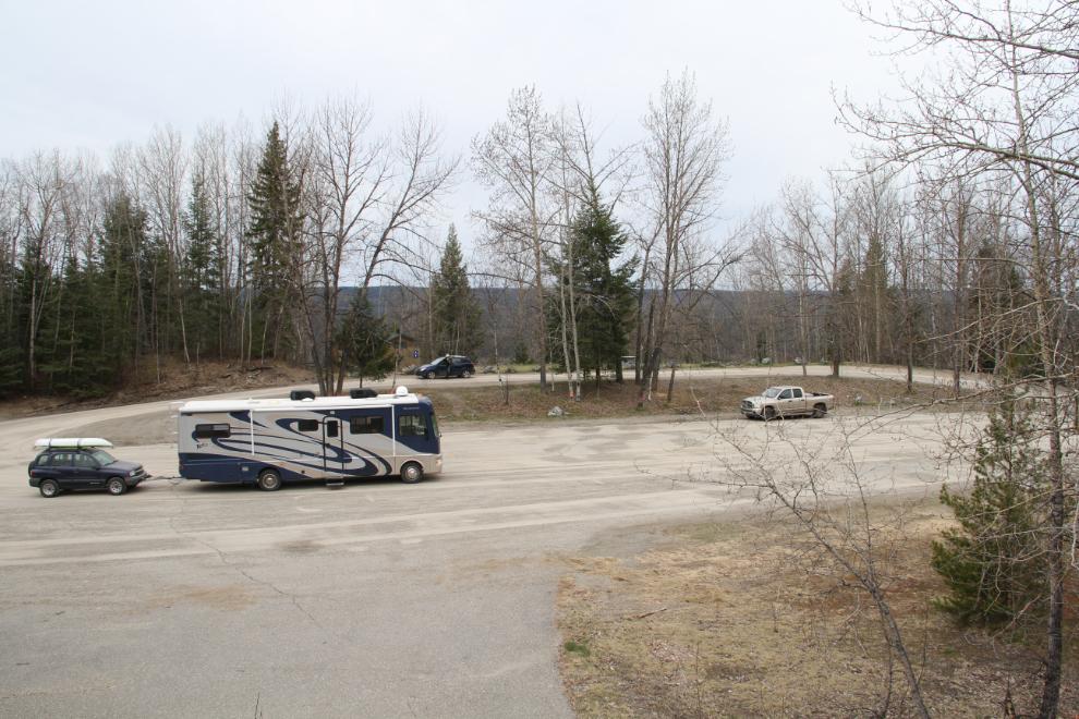
Just before 11:30, we made a long stop at this beautiful rest area south of Hixon. I’ve avoided it on previous trips because the road and rest area can’t be seen from the highway, but it’s suitable for the largest of RVs.
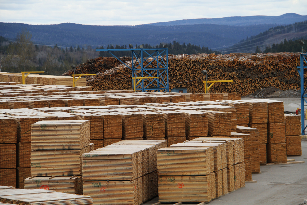
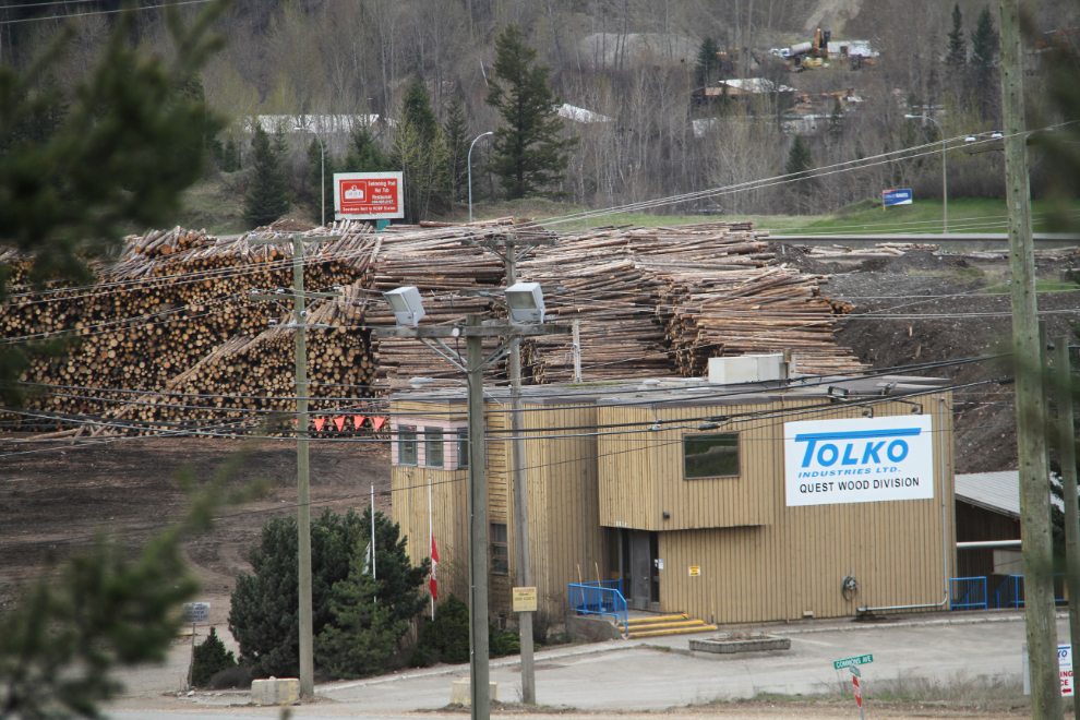
A few decades ago, a viewing tower was built at the edge of the main wood-processing area in Quesnel. It had also been a few decades since I’d stopped for a look…
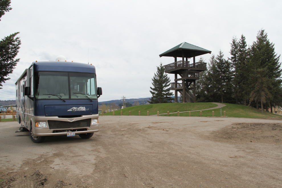
The many interpretive panels that used to be along the viewing level are gone, but it still provides and interesting look at the process from logs to finished lumber and pulp.
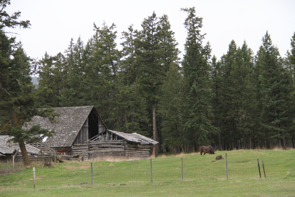
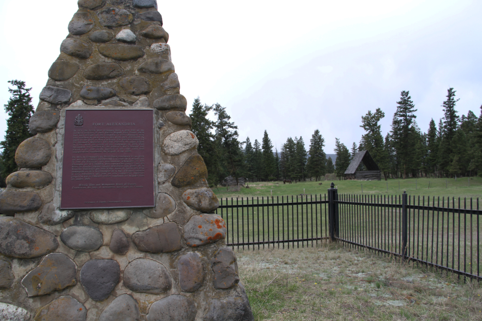
At 1:30, I made a brief photo stop at the Fort Alexandria historic site.
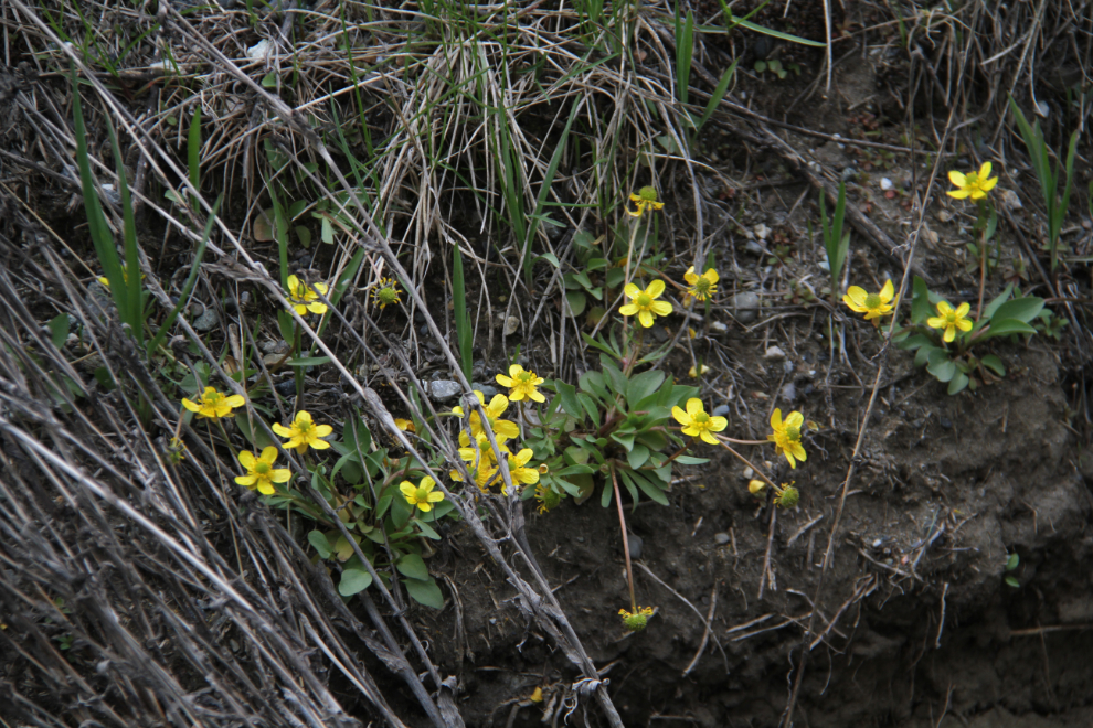
The first flowers of Spring! At the Fort Alexandria cairn. It had been getting very noticeably greener from Quesnel south.
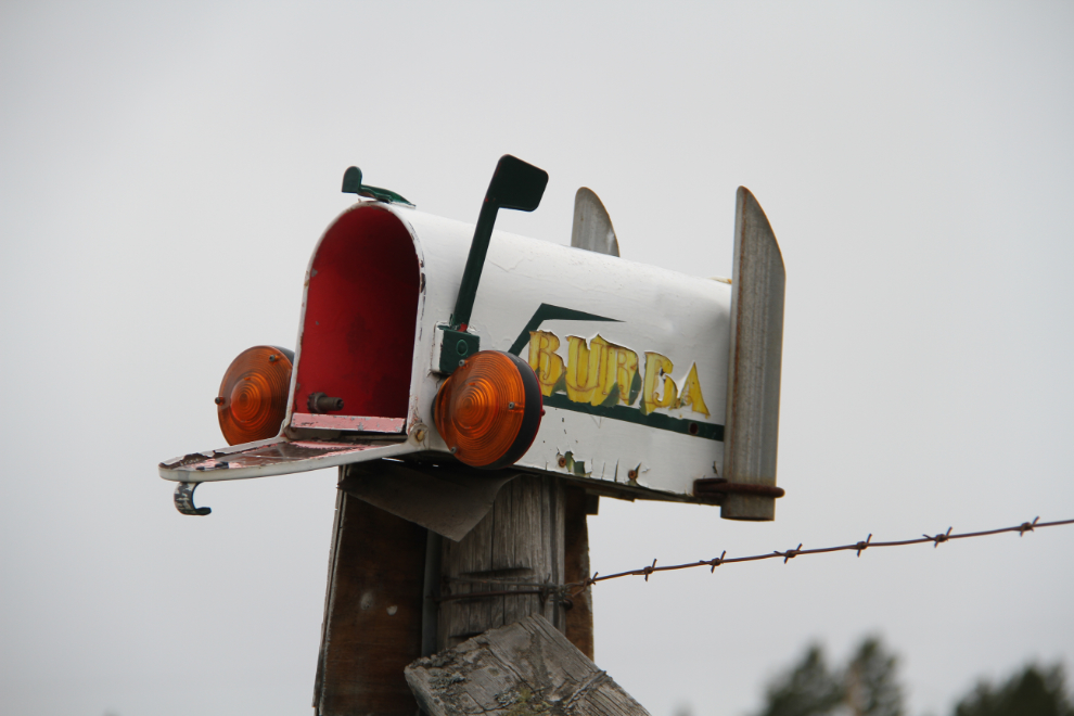
A wonderful piece of folk art on the fence at Fort Alexandria.
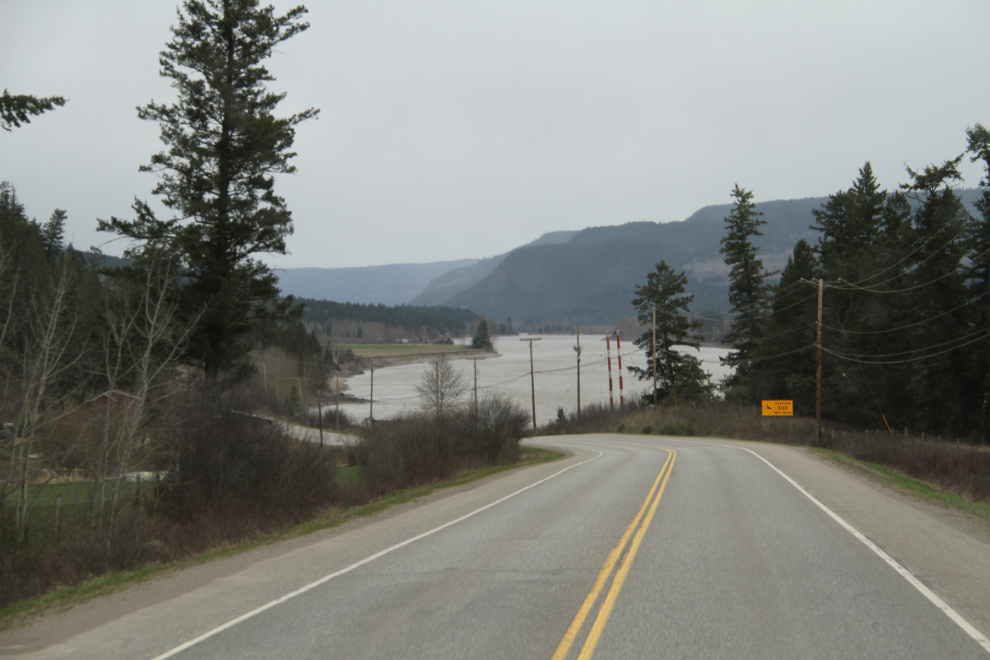
The sunny day that I’d expected turned to rain instead, but this is really pretty country regardless of the weather. The Fraser River flows near the highway for many miles.
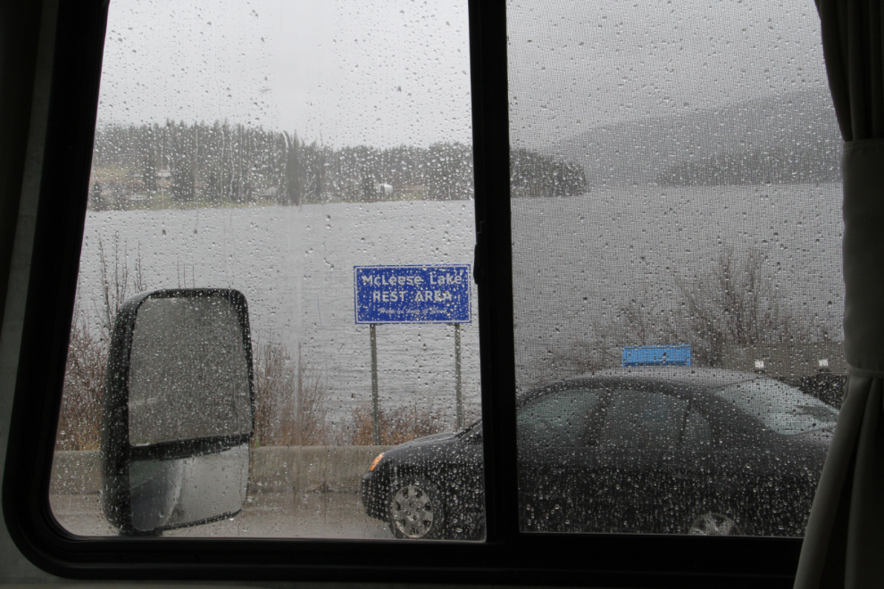
At about 2:00, Tucker told me that it was afternoon nap time. When we reached the McLeese Lake rest area, I pulled in. This is what we woke up to at 3:20.
“Goldie” getting a thorough power-wash behind us just after leaving McLeese Lake.
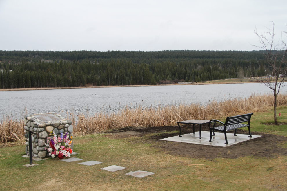
The rain had stopped by the time we reached 100 Mile House, so I stopped at the visitor centre, which had closed at 4:30, a few minutes before we arrived. On the lake behind the vistor centre is this memorial to CP Air Flight 21. On July 8, 1965, a bomb tore apart the plane while it was en route from Whitehorse to Vancouver. All 52 passengers and crew died. The source of the bomb was never found.
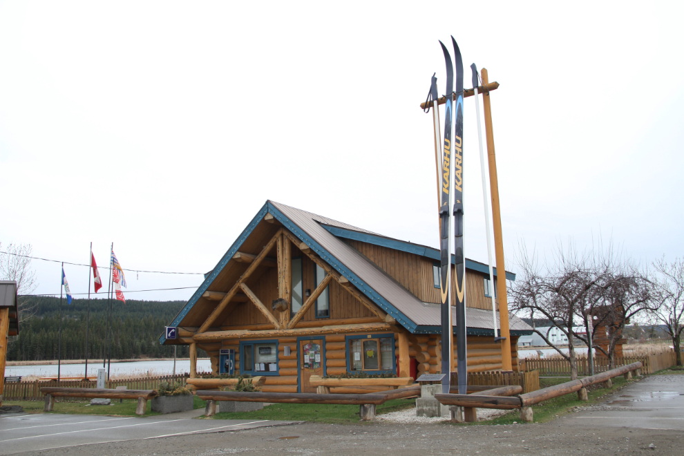
On a much happier note, The World’s Largest Cross-Country Skis were erected beside the visitor centre in 1987.
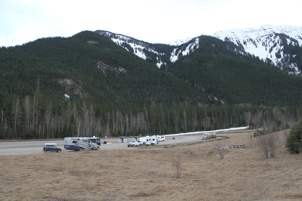
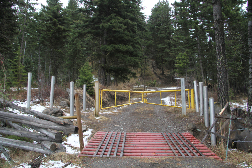
At 5:30, I decided to see what the Point of Interest at Begbie Summit is. The Mount Begbie Lookout BC Forest Service Recreation Site turned out to be the perfect camping spot for the night.
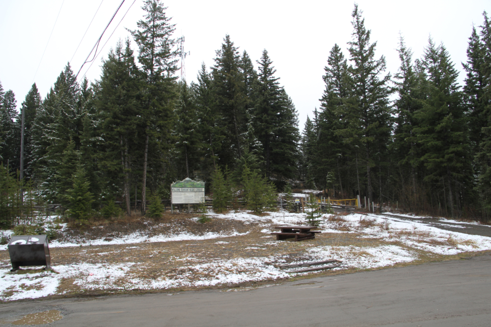
In the morning, we’d go for a hike up to a forestry lookout tower.
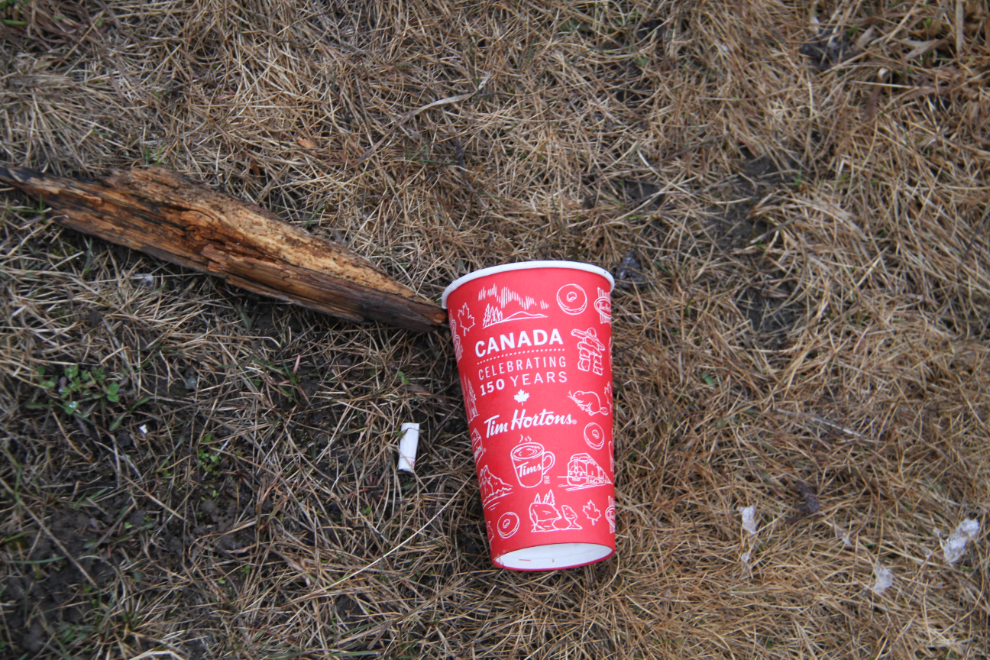
As we were having dinner, a car with 3 young people in it drove in, threw all their garbage out the window, in the general direction of the garbage bins installed there. smh… (I cleaned the entire site up in the morning – there were only a few pieces beyond what those people left)
The view at 8:28 as we’re about to say “good night”…