Down the Alaska Highway, starting a 10-week wander around BC
As I write this, Day 3 of the season-opener Adventure has begun. The plan for the trip is rather vague other than it will all be in northern and western British Columbia, and Vancouver Island is the primary focus. We’ll be on “The Island” for about a month. Cathy will be flying to Vancouver to meet me, and will fly home from Nanaimo 24 days later.
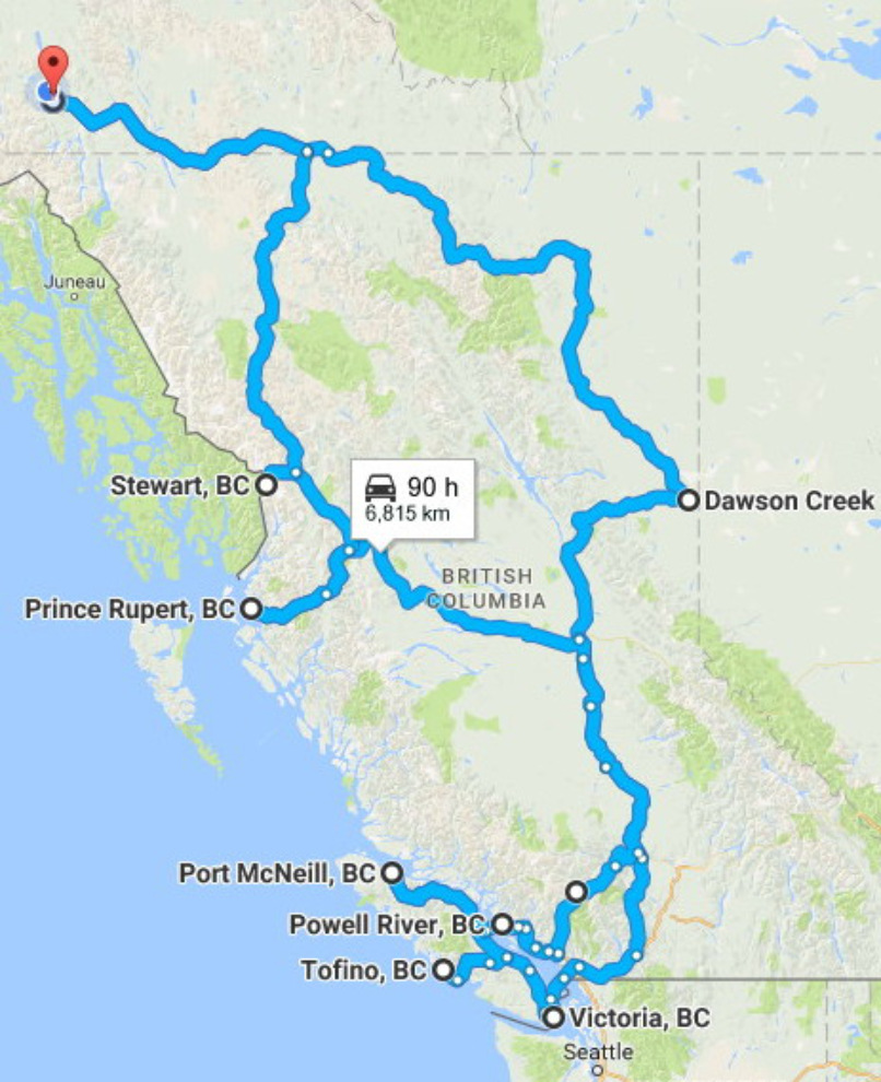
This map shows the general route, going south on the Alaska Highway, and north on the Stewart-Cassiar. Click here to open an interactive map in a new window.
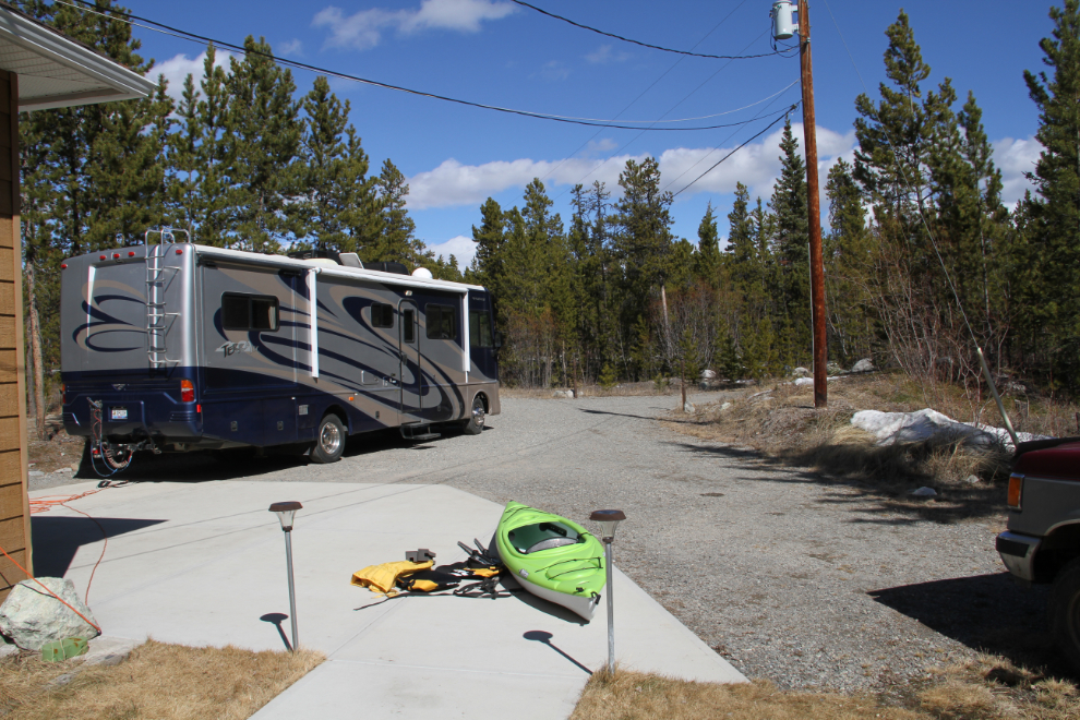
Due to mechanical problems with the Tracker, I got away a day later than I’d planned. When I shot this photo on Tuesday afternoon I was all set to go except for having no “toad”. But, the shop stayed late to finish it that evening, and although it was too late to leave that night, we were away Wednesday morning at 06:45.
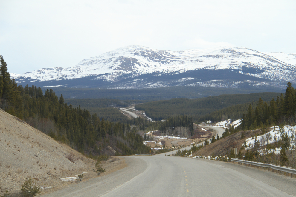
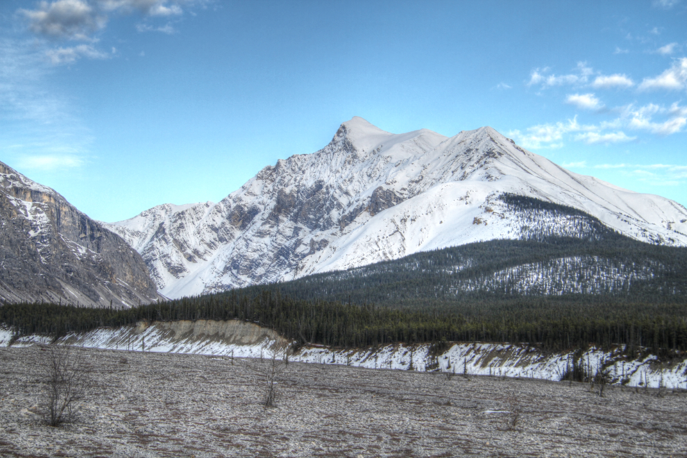
At 07:30, at about Km 1343 of the Alaska Highway, White Mountain was ahead.

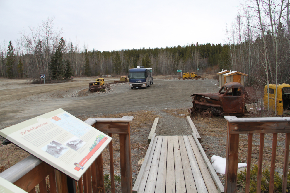
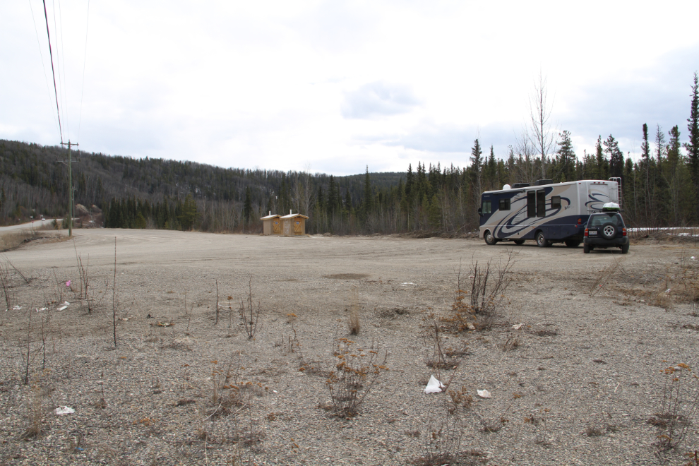
For the Yukon section of the highway (the first 5 hours or so), I made a fair number of stops to check on facilities and take photos for my Campgrounds & Rest Areas in the Yukon pages. Bella and Tucker appreciated all the extra walks that those stops got them 🙂 This photo shows the Canol Road Rest Area at Km 1295.
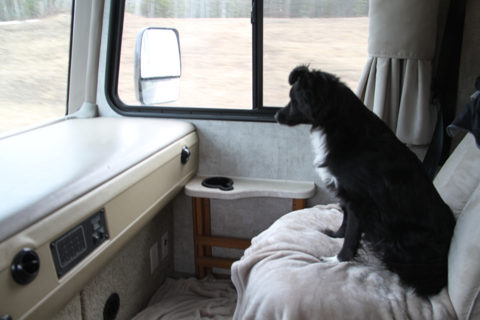
Some of those stops were very short, and Bella just had to supervise.
This is what the rig looks like all put together now. I’m really looking forward to getting the new kayak wet. I think that it’s going to be a lot of fun – and much more practical than the canoe I hauled around last year.
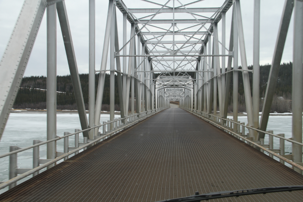
With no traffic at all, I was able to stop in the middle of the Nisutlin Bay Bridge, the longest and one of the oldest ones on the Alaska Highway,to get a photo.
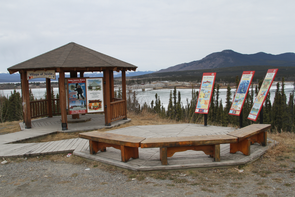
The Teslin viewpoint. The weather forecast was for partly cloudy but there wasn’t a hint of blue sky anywhere.
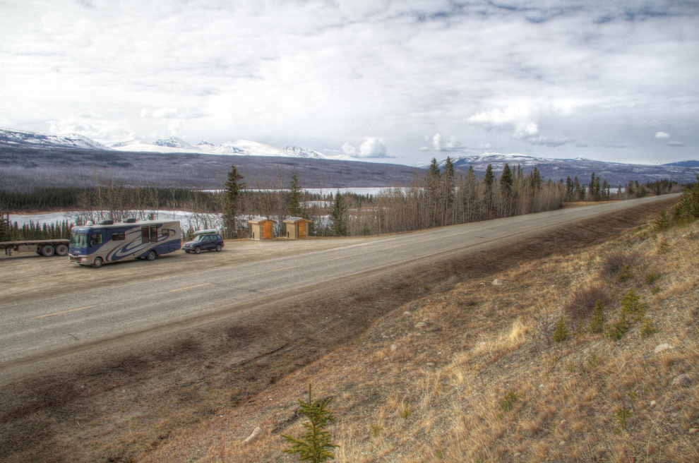
The Swan Lake rest area at Km 1152. I had to climb the cut-bank to get the view I wanted.
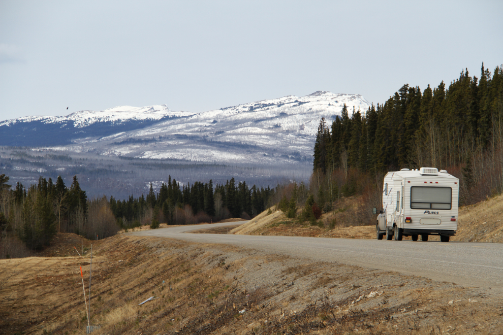
There’s a fairly steady flow of RVs heading north now. A fairly high percentage of them have Alaska plates – snowbirds heading home in most cases, I expect. Not many tourists are heading south, but there are a few of us – again, mostly Alaskans.
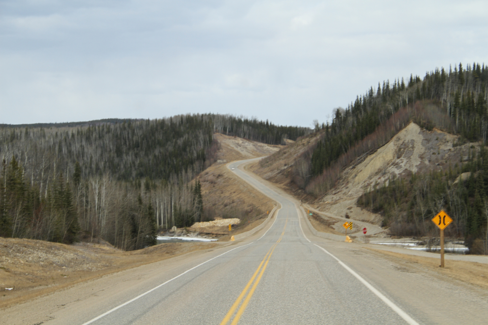
This view just south of Swift River is, to me, a definitive Alaska Highway one, and I have a few photos taken here over the years.
I fueled up at our North 60 commercial cardlock in Watson Lake, then at 2:30, just south of Watson Lake, stopped for the afternoon nap that all the kids love. On the road, snuggled up all of the kids, with a huge fuzzy wolf blanket that my Mom gave me many years ago – ahhhhh, life is good…..
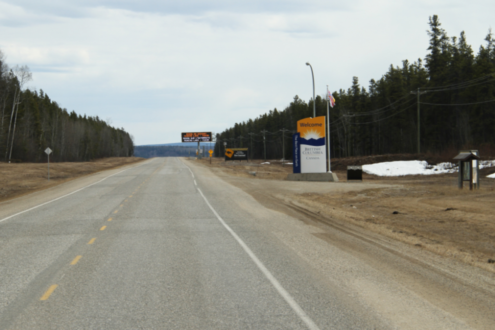
At Km 964.5, British Columbia has its most prominent Welcome sign, though there are much smaller ones at several other places where the highway dips into the province for a few miles. At this point, Yukon Highway 1 becomes British Columbia Highway 97. Highway 97 runs right to the border with Washington State.
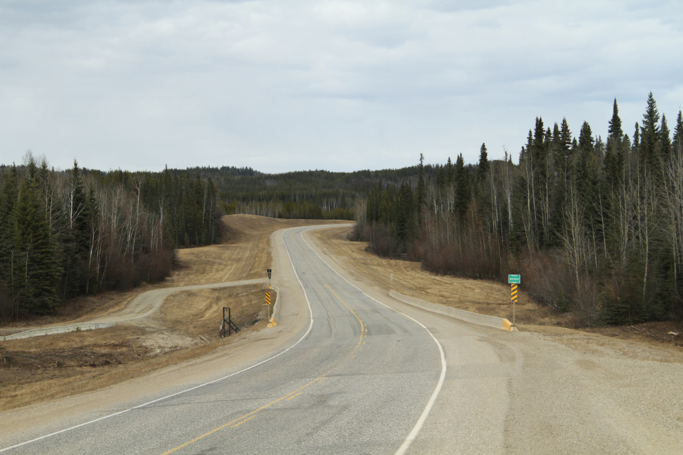
Mayfield Creek is crossed at Km 956.6.
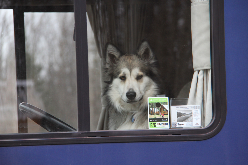
Tucker hasn’t found a position he really likes, and moves around a fair bit. He prefers to be snuggled up on my lap, but except for a half-hour or so on a rare straight and smooth section of road, I don’t allow that for safety reasons.
The Hyland River crossing at Km 937.2 is another place that I have many photos of.
I stopped at the Fireside Lodge for a really good look. To me, this is one of the saddest of the many abandoned lodges on the highway. It has such potential, and is for sale for $85,000 – that’s not a typo – eighty-five thousand dollars gets you this 4 acres.
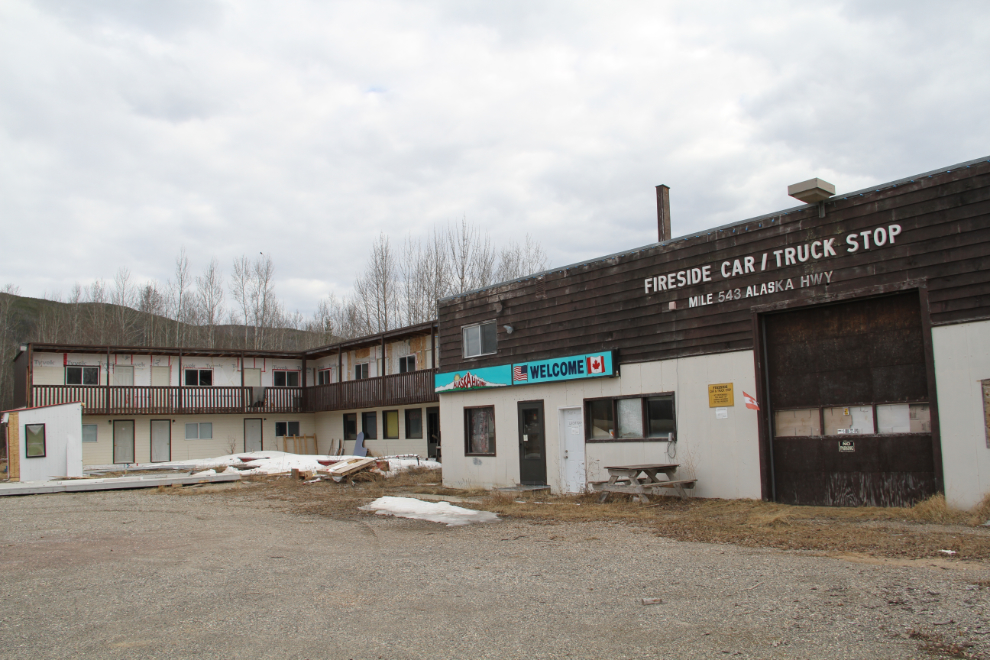
This view over the Liard River is blocked by trees, but in my mind could make this one of the most sought-after RV parks on the highway. Cranberry Rapids, a popular viewpoint on the highway, is a short walk upstream. Oh well – now if I was 20 years younger…
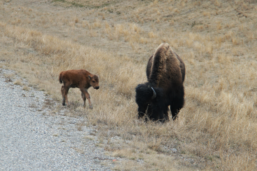
It’s Baby Bison Time!! It’s almost worth driving down here just to see the babies, only a few days old. In some cases maybe a few minutes. This mom and baby, the first of 3 I saw, were at Km 810.
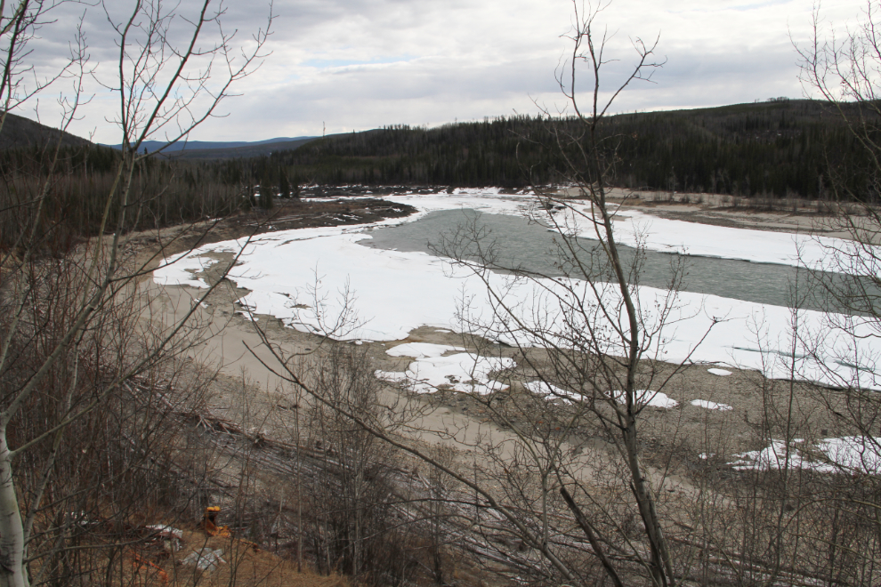
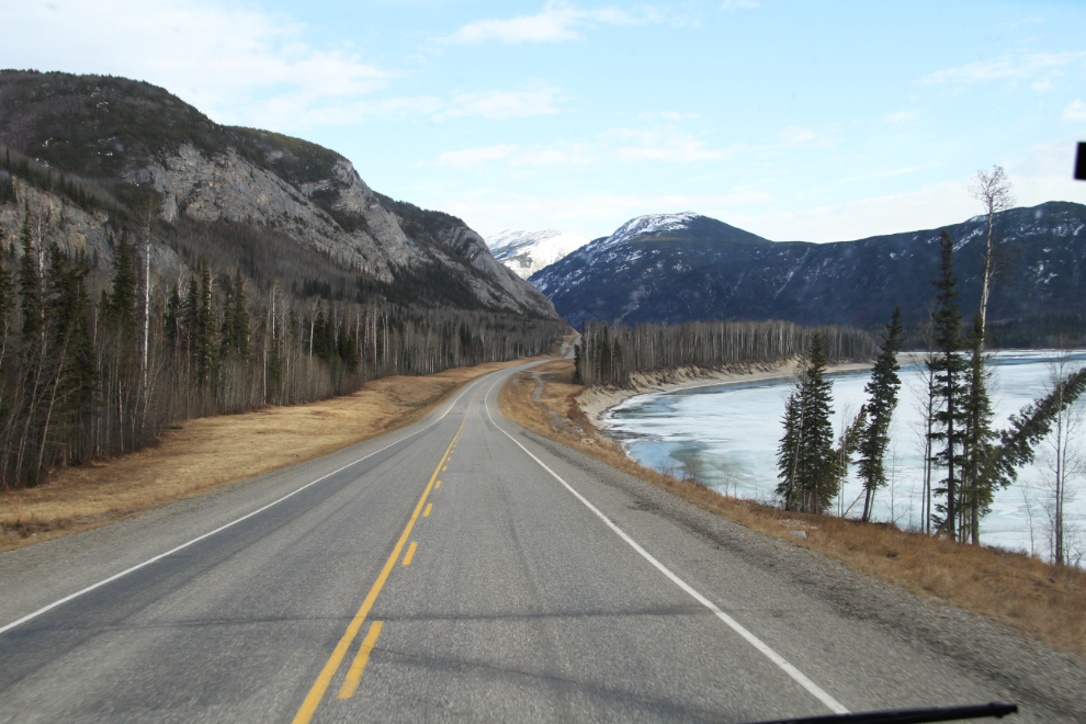
The Liard River about 20 km north of Liard Hot Springs, at 18:17.
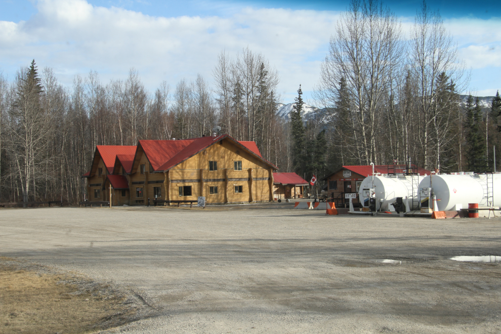
I was extremely surprised to see the Liard Hotsprings Lodge closed except for fuel. This is one of the most solid lodge locations on the highway, and it just keeps going further and further downhill since the Fort Nelson First Nation bought it 🙁 According to the Fort Nelson Visitor Information Centre, they’ll be in full operation shortly, but she was very surprised to hear that no rooms are available now.
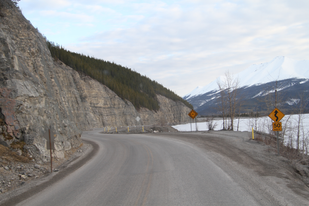
The highway around Muncho Lake is one of the very few sections that’s maintained the character it had 50 years ago 🙂
I love the alluvial fans along Muncho Lake – they offer superb hiking with pretty much zero chance of meeting other people. It was now 7:50 pm – time to start thinking about parking for the night.
I stopped at a huge pullout about 20 minutes south of Muncho Lake, and we all had a particularly good sleep. At about 03:00, Tucker asked to come under the covers, and having him even closer than normal may have been part of the reason we stayed in bed so long.
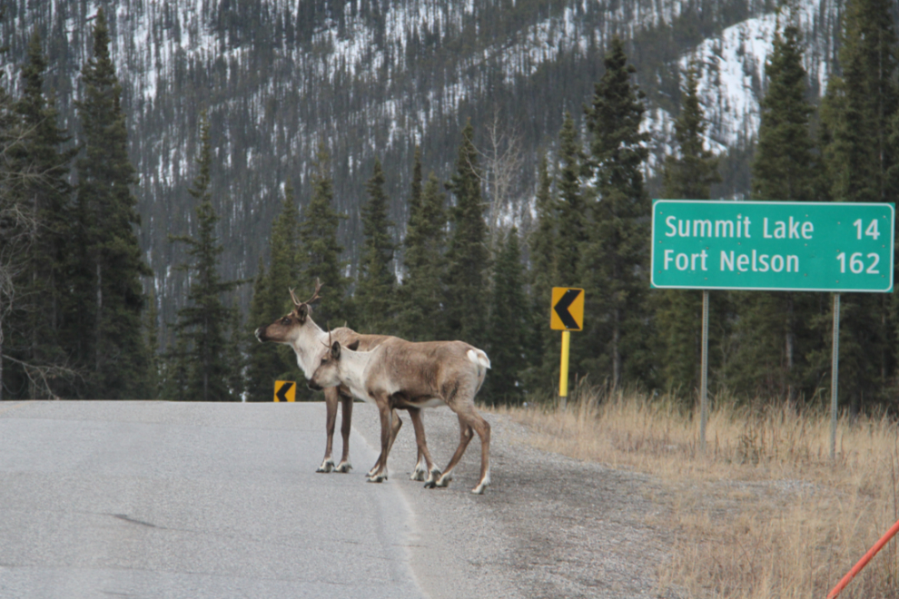
We were back on the road at 05:45, and not long after, encountered the first of many animals we saw that morning – deer, elk, caribou, and 1 black bear.
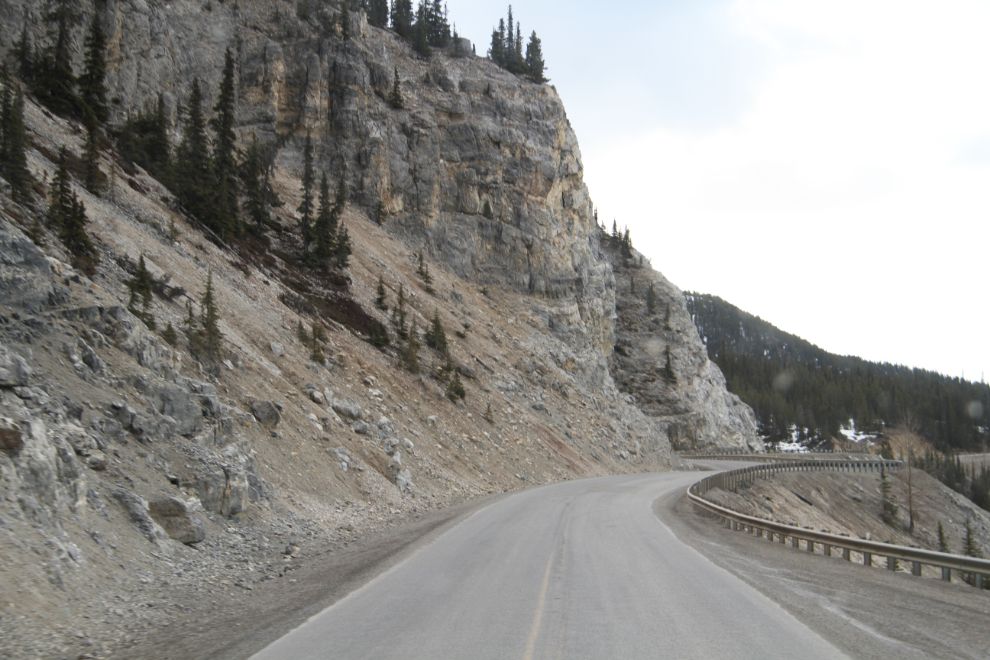
Climbing steeply out of the MacDonald River Valley through the gorge commonly called “The Cut”, at Km 602.
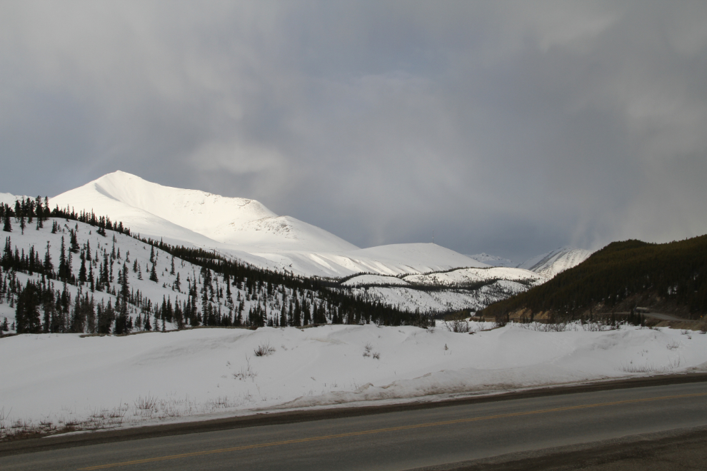
I had planned on stopping at Toad River Lodge but they weren’t open yet, so I made my own, and fed the kids, at Summit Lake, with this view out of window. That doesn’t look much like Spring, does it? Leaving there, I noticed that somebody is living in the long-abandoned Summit Lake Lodge. I expect that it’s the old Czech fellow I met about 3 years ago – quite a character!
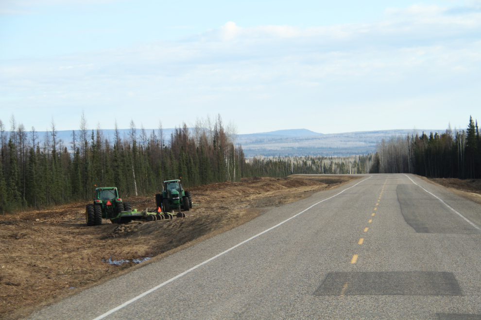
The amount of equipment working on the “landscaping” along the highway was quite amusing. Odd priorities. This was on the drop down from Steamboat Summit towards Fort Nelson.
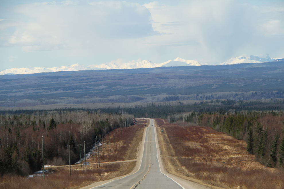
The Alaska Highway from Steamboat south is long. It’s beautiful, but there are few landmarks – it’s hundreds of kilometers of forest and low mountains, with peaks in the distance at some points. This was shot at 10:47.
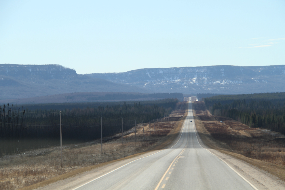
And another at 10:55.
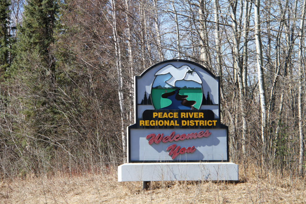
At 11:10, the Peace River Regional District welcomed us 🙂
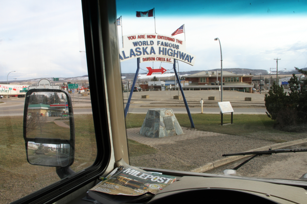
We reached Alaska Highway Mile 0, Dawson Creek, at 4:00 pm. The car dealership that used to serve as the background is gone, and the building is being renovated as a Safeway liquor store. The first 3 radio stations that came up on a scan while I sat there were Christian stations. The entire region is going through hard economic times. I’m not sure what that combination of things tells you about Dawson Creek, but there you go – food for thought… 🙂
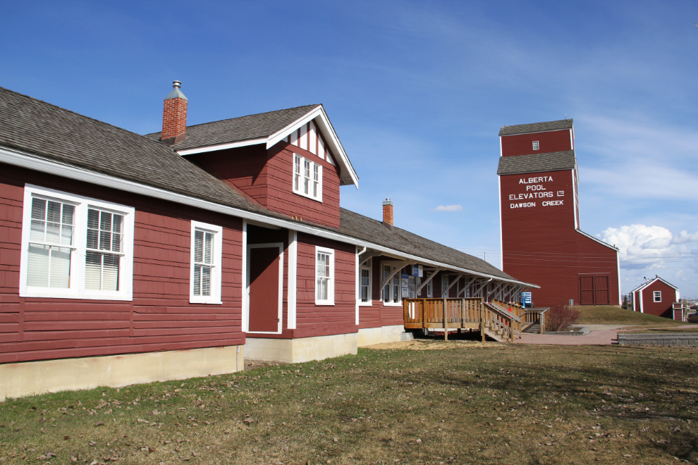
I didn’t really have any plans for the rest of the day, but didn’t want to go any further, so took a few photos, took the dogs for a walk, started work on the blog, and basically just killed time.
The Mile 0 RV Park where I thought I might stay for the night is closed for a few days yet, and I decided to park at the Dawson Creek Walmart. That’s my second Walmart stay since buying the rig – the first was in Kingman, Arizona the day I bought it.
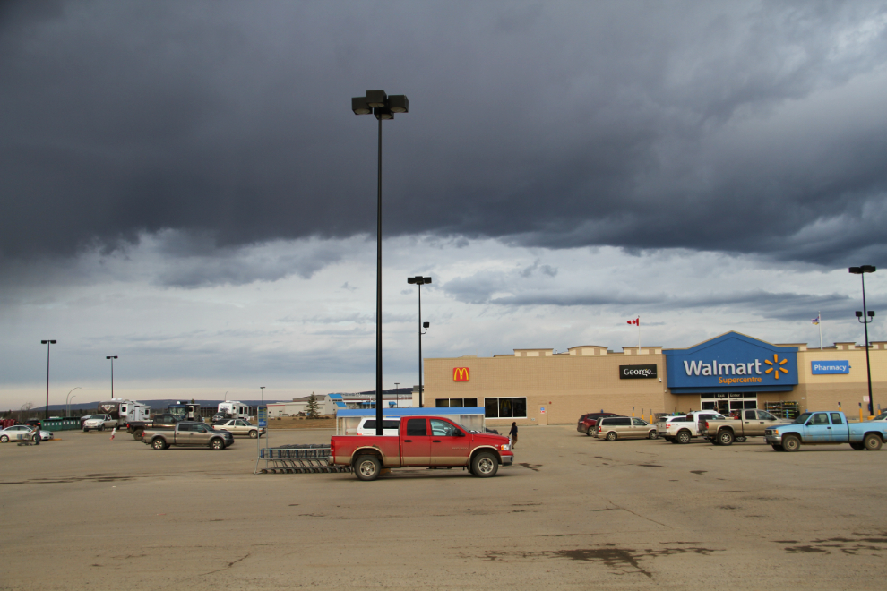
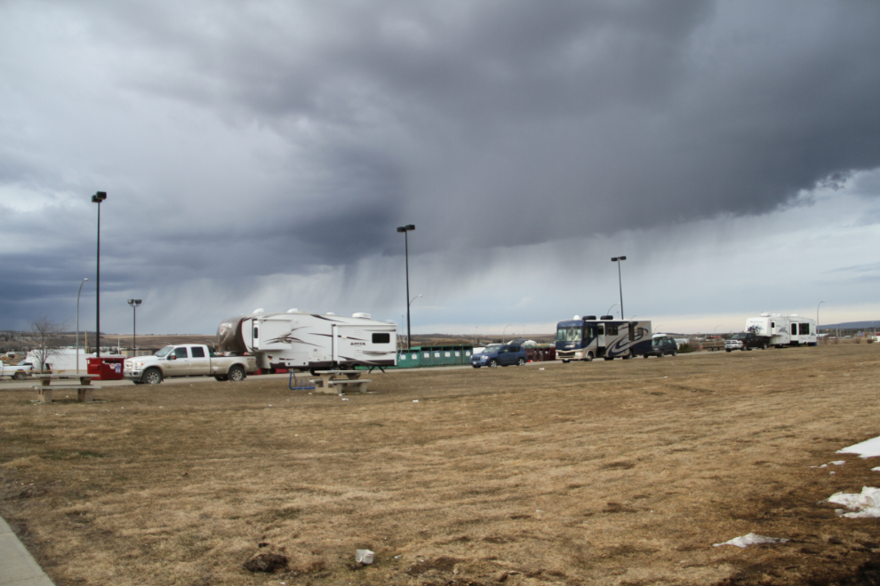
This is one of the RV parking areas at Walmart – pretty much perfect. Stronger wifi than 90% of the commercial RV parks we’ve stayed at, a large dog-walk area, and well off the road so quiet. And it’s $45 cheaper than the RV park that is open – when all I need is a level parking spot for a few hours, this works great. To thank them, I spent $32 on motor oil and a McDonald’s dinner.
It’s now 09:15 – time to get over the the Visitor Centre to see if I can get a lunch date, then we’ll start a short driving day towards Prince George.