The final leg, driving from Stewart to Whitehorse
On Day 58 of the trip – Friday, June 22nd – we began the drive from Stewart to our home in Whitehorse. I expected that we’d overnight somewhere along the way – Boya Lake if the weather was good enough – but sometimes I get get-home-itis on that last stretch and push through.
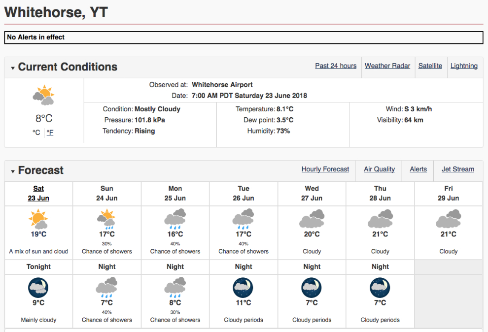
The weather forecast for our homecoming was certainly not what I’d hoped for. But I had a lot of work to do when I got home anyway, so it didn’t really matter.
At 09:50 we passed by Bell II Lodge, a gorgeous place that Cathy and I stayed at a few years ago. I had plenty of gas to reach Dease Lake, so no stop was required. The second crossing of the Bell-Irving River can be seen ahead.
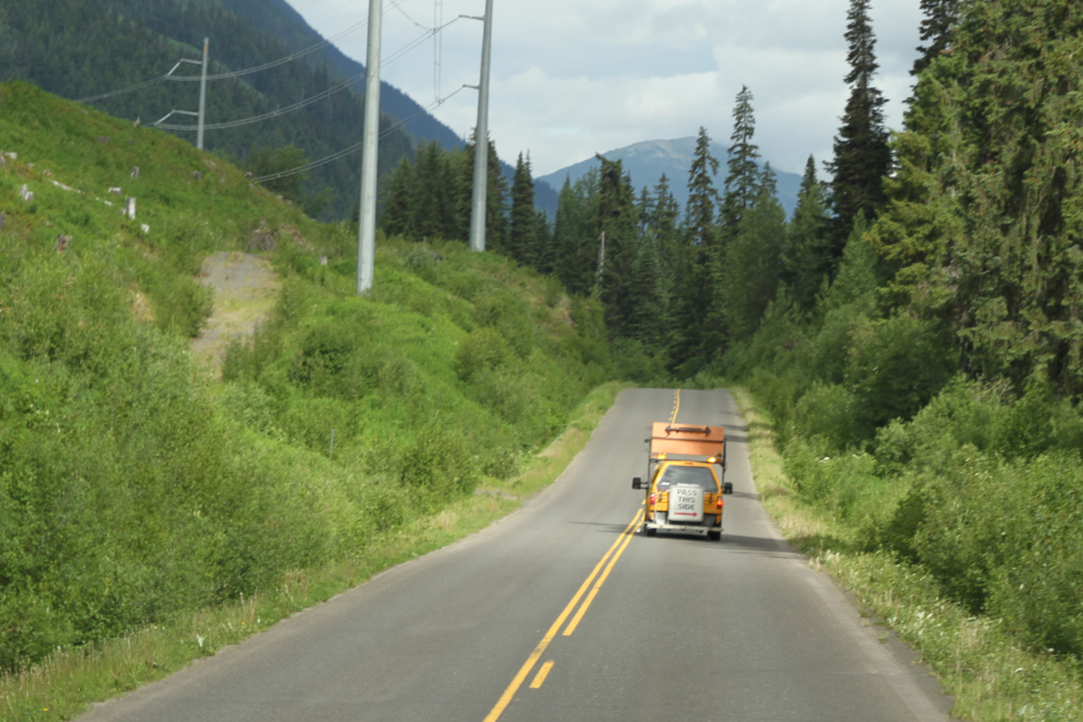
North of Bell 2, I encountered a line-painting crew. One of the vehicles had an odd warning sign on the back – I wonder if any drivers had tried to follow his directions? 🙂
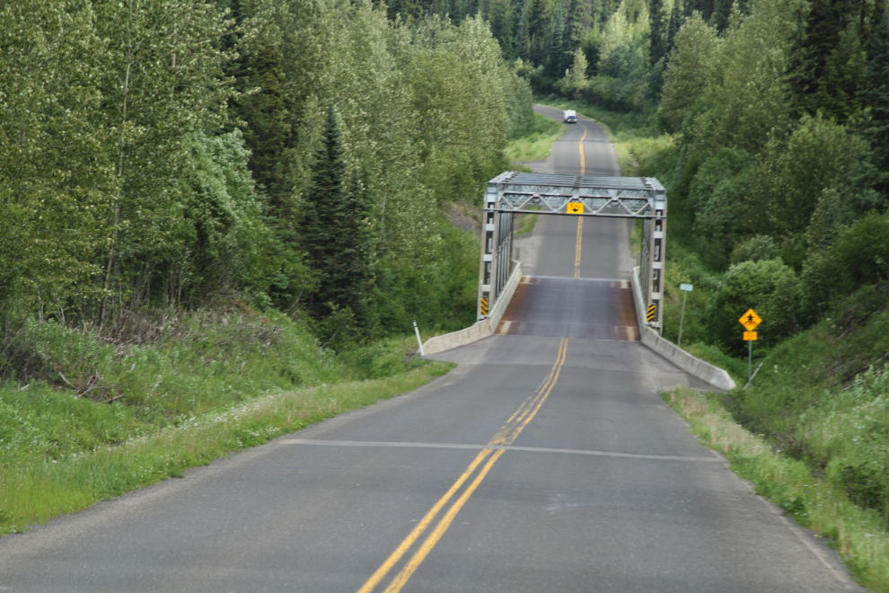
The bridge across Devils Creek is one of the last steel-arch, metal-deck bridges on the Stewart-Cassiar.
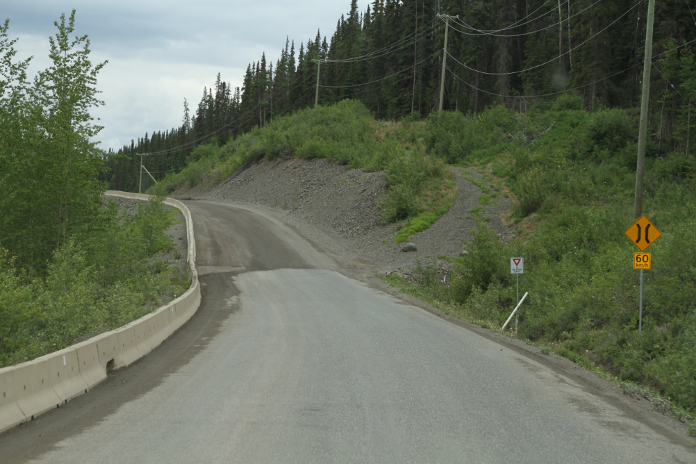
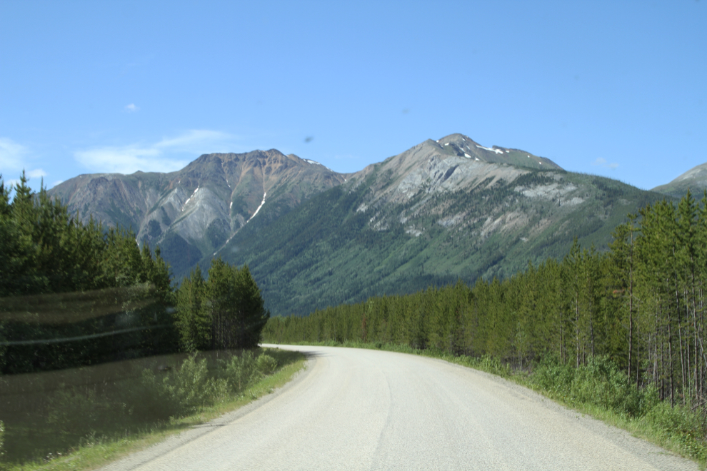
By 11:30 I was at a rough piece of road south of Iskut. Slumping of the hill here has been a big problem since the road was built.
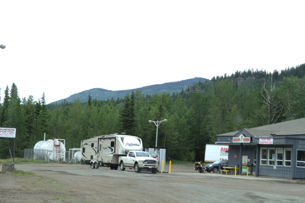
The Kluachon gas station at Iskut has been advertising quite heavily, and I decided to give them a try instead of filling at Dease Lake as I always have. When I saw the price, I changed my mind. The price at Dease Lake was indeed 10 cents per liter cheaper – on a fill of almost 200 liters, that’s a lot of money that was almost wasted.
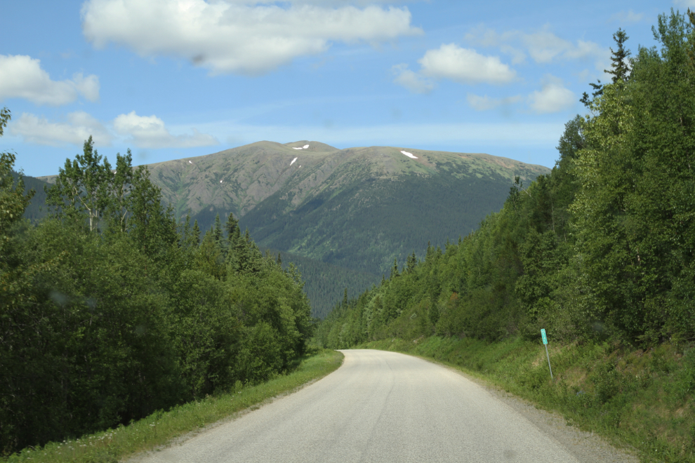
The view north right at Km 545 (measured from Highway 16, the south end of the highway).
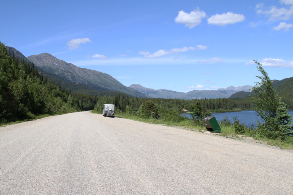
A wide, paved pullout along Pine Tree Lake was perfect for a long dog walk at 4:00 pm.
It’s been interesting watching this forest grow after a forest fire swept through the area about 25 years ago.
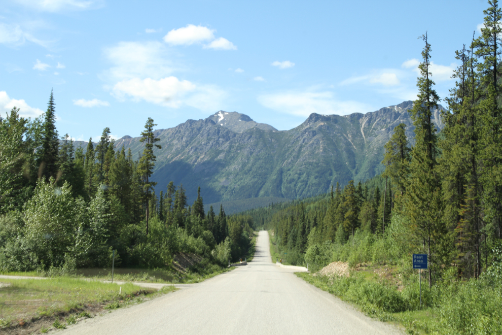
There are very nice rest areas at the Cottonwood River, on the old highway on each side of the river.
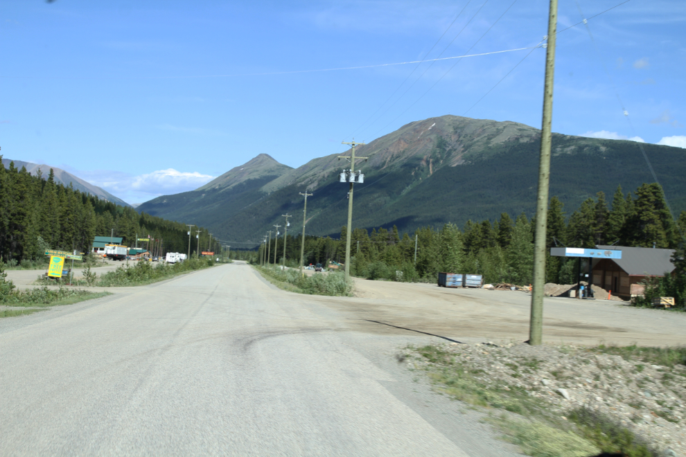
Many people expect to find a community at Jade City, but it’s just a small tourist complex built around a rock shop, and a Highways camp.
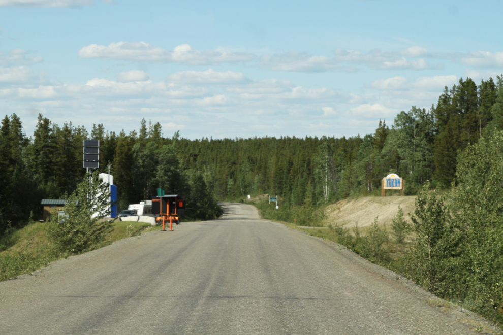
Just before 6:00 pm, we reached the “Welcome to Yukon” sign. After 58 days away, that felt very good.
When I got to the huge rest area at the Continental Divide, I stopped to walk the dogs, and just couldn’t get going again. That was almost 12 hours on the go, and we’d all had enough. We camped there for the night.
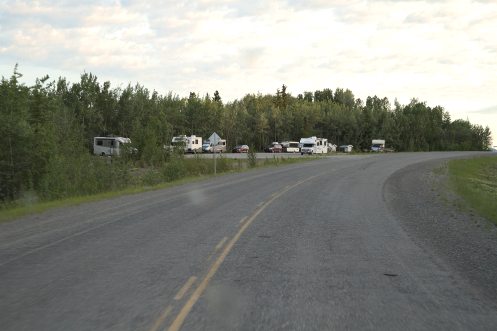
We were on the road just after 04:00 on Saturday morning so we’d be home before Cathy went into town for a hair appointment. I was surprised to find so many people parked overnight at the Teslin Lake rest area.
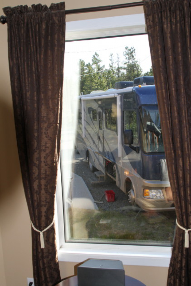
This was the view from my living room at 08:00. In 59 days, we had put 7,871 kilometers on the motorhome, and another 3,023 on the Tracker. It had been an exceptional trip, and I’ll write up a detailed summary of costs and experiences in the next few days (it’s now posted here).