Driving the north end of the Stewart-Cassiar Highway
After starting off on the final leg of the drive home yesterday morning, I turned around for some more exploring in Stewart, but was back on the road for real just after 10:00 am. I had no real plans for the day – I might end up sleeping in the truck for a bit and would just get home when I got there.
These gates are used to close the highway when avalanches come down. That happened as I was on in Smithers my way to Stewart back in March, and I had to turn around and go home via the Alaska Highway – an 800-km detour.
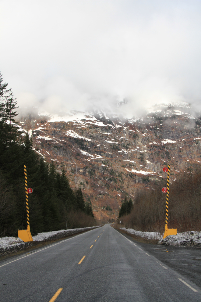
When I started off the first time, the clouds were thick and low, and I would have seen pretty much nothing along this stretch.
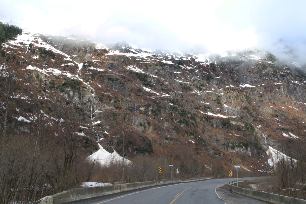
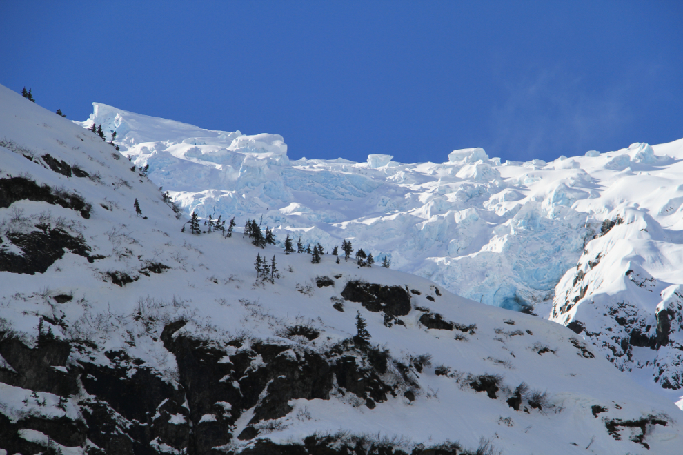
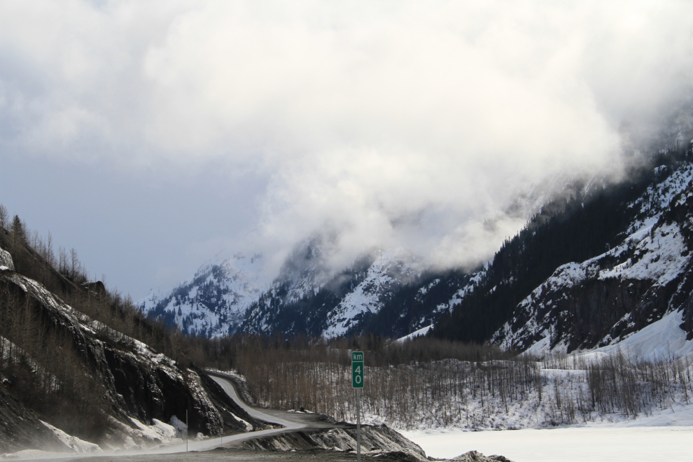
Looking back towards Stewart from about Km 38. The sign at the far corner says “Avalanche Area Year Round”. If you look straight up to the left from that sign…
…you’re looking at the underside of this blue-ice glacier!
I set up this shot specifically to send to U-Haul. They have some trucks painted with collages of photos that people send in, and you can track the truck that your photo is on. I thought that was very cool, and they did want to use my photo. BUT, the release you sign to be part of that program gives them the right to use your photo anywhere, in any media, forever, with no compensation. Greedy bastards – no thanks.
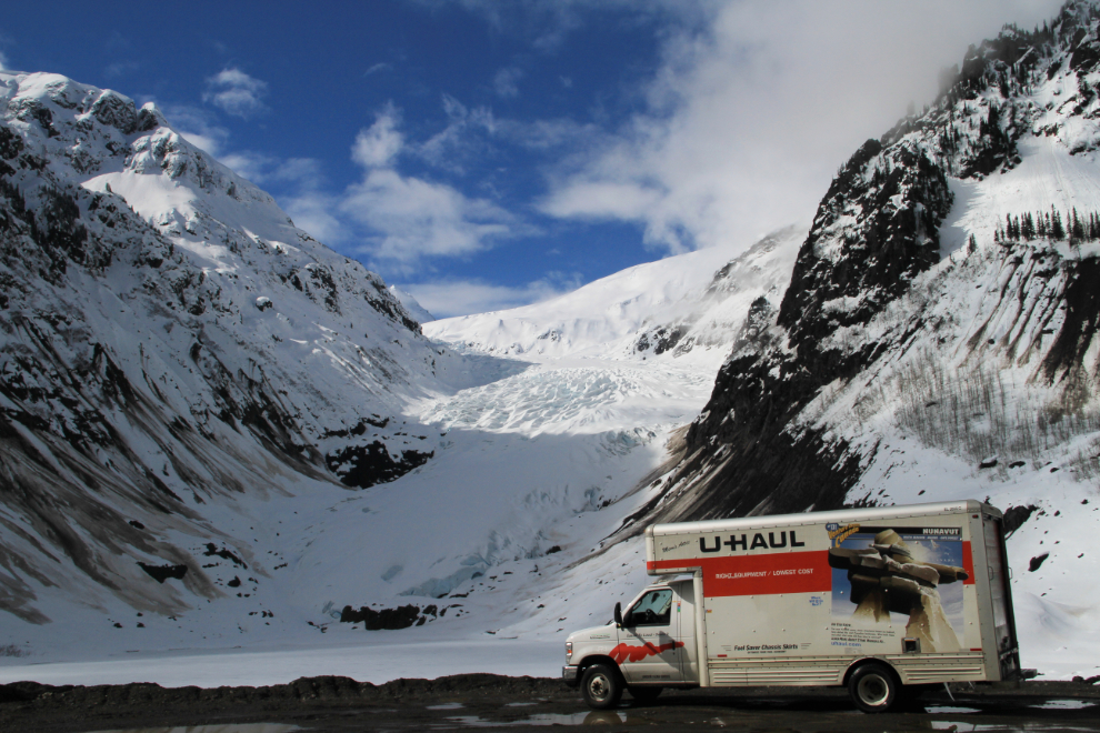
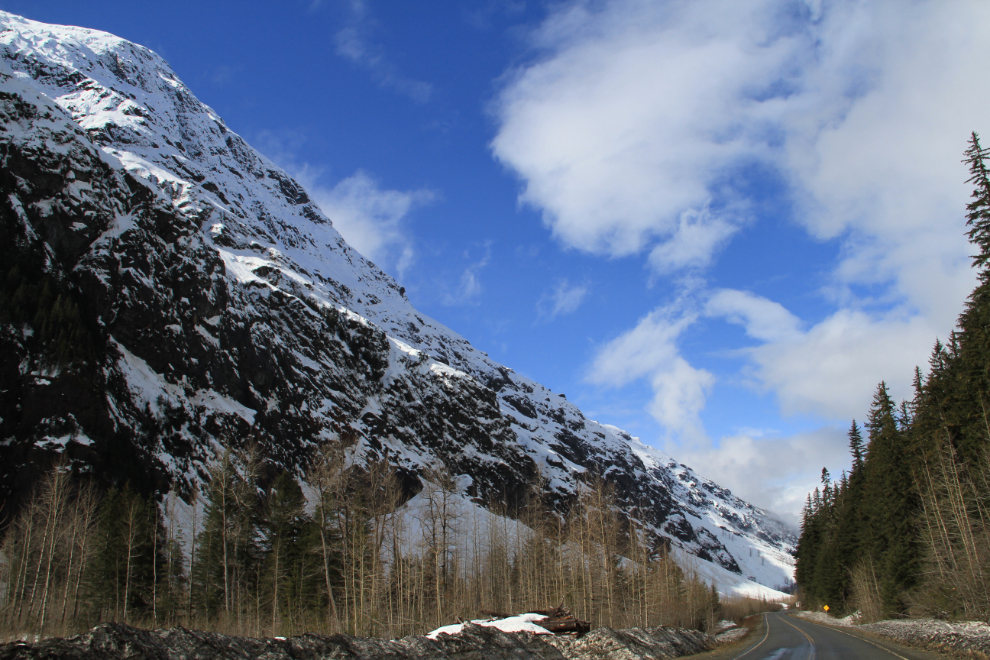
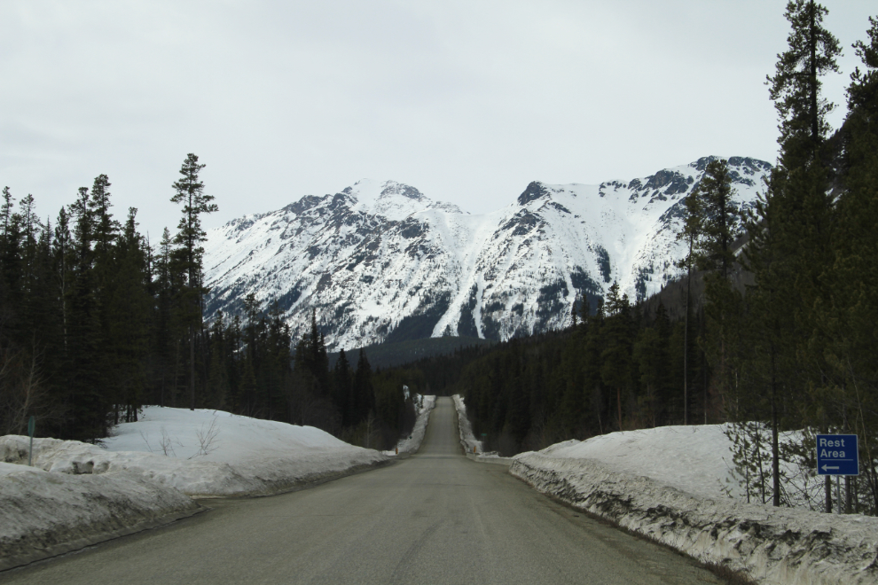
The view north from Bear Glacier. If you’re using The Milepost, note that they have the Hwy 37A mileages running from Meziadin Junction to Stewart, whereas the actual highway km posts run from Stewart to Meziadin. For example, the Bear Glacier is right at Km 40, but The Milepost says it’s Km 24.2.
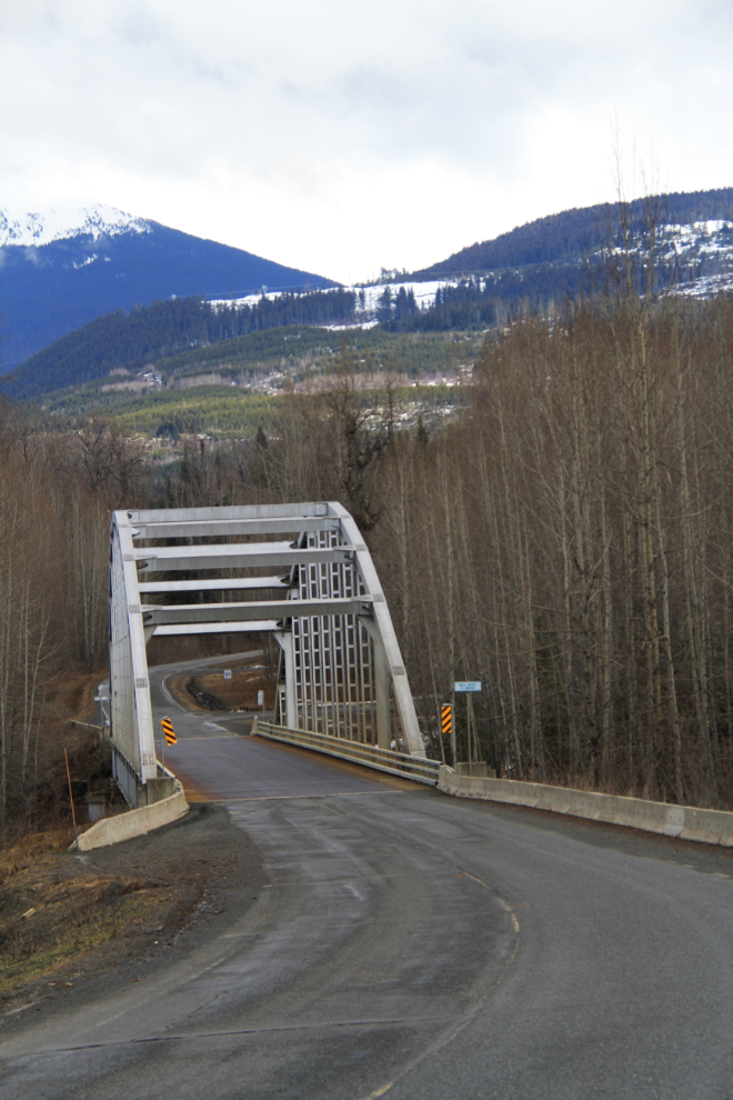
Back on the Stewart-Cassiar, this is Bell I, the first crossing of the Bell-Irving River, at Km 183. There’s a large rest area at the far side of the metal-deck bridge. For good simple navigation of the parks and rest areas along the highway, the Ministry of Transportation has a printable map online.
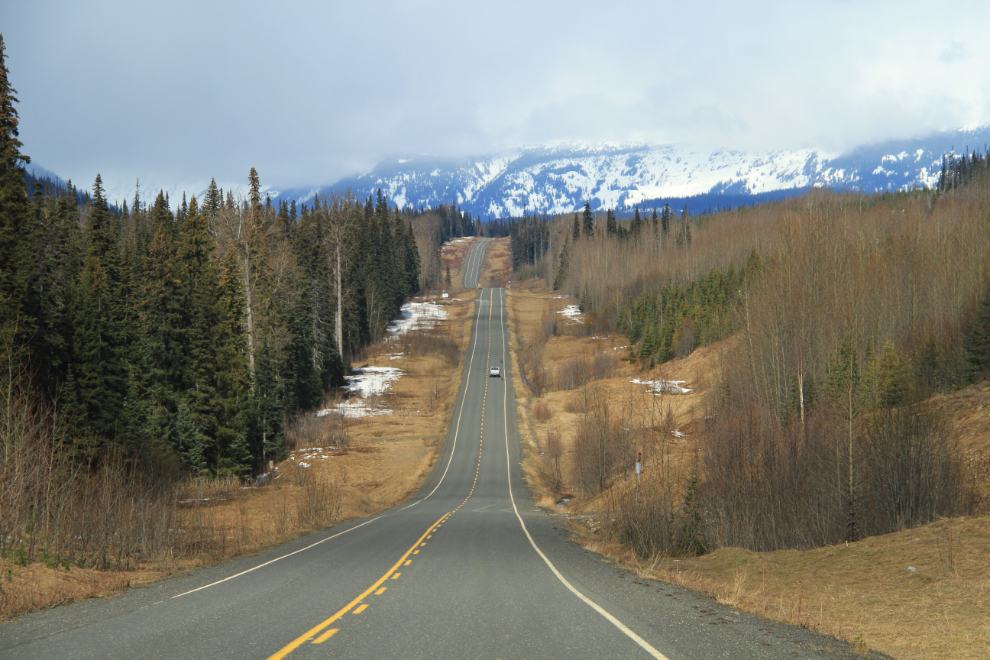
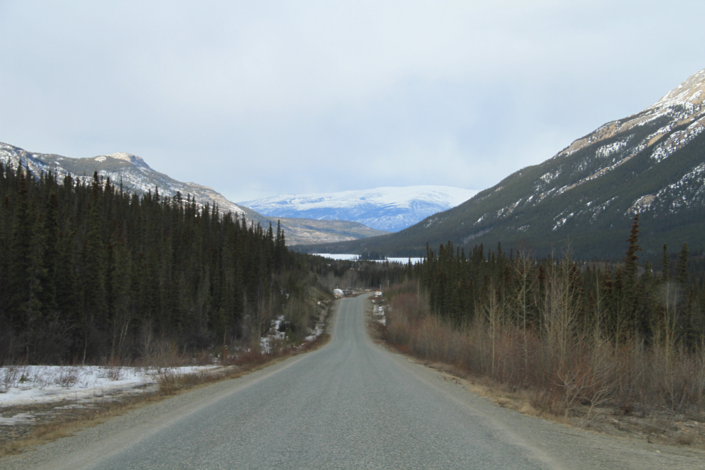
The view north at Km 231 just after noon.
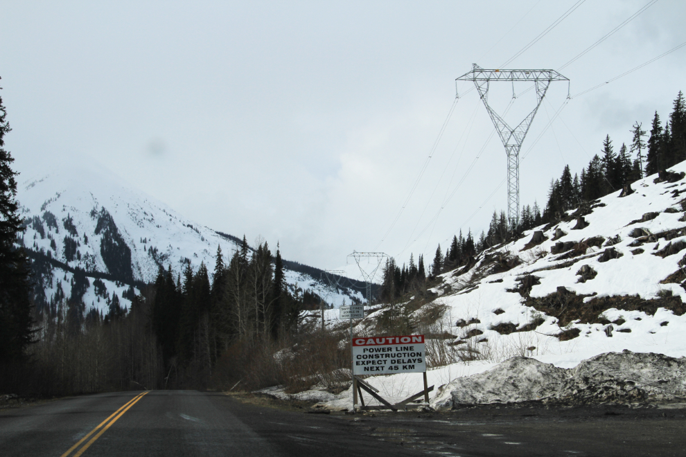
This sign just north of the Bell II Lodge (which has recently been bought by the Last Frontier Heli-skiing company) warns of possible delays, but there were none.
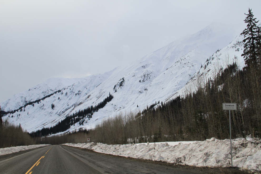
Looking south at the massive Snowbank Avalanche Area in Ningunsaw Pass, at Km 261. A sign at the large rest area here notes that there are 5 avalanche areas through the pass, with a total of 15 avalanche paths, down which 710 avalanches have come since 1974 – and 53 of those avalanches reached the highway. On January 7, 1999, Avalanche Technicians Al Evenchick and Al Munro were killed at Avalanche Creek while conducting field work.
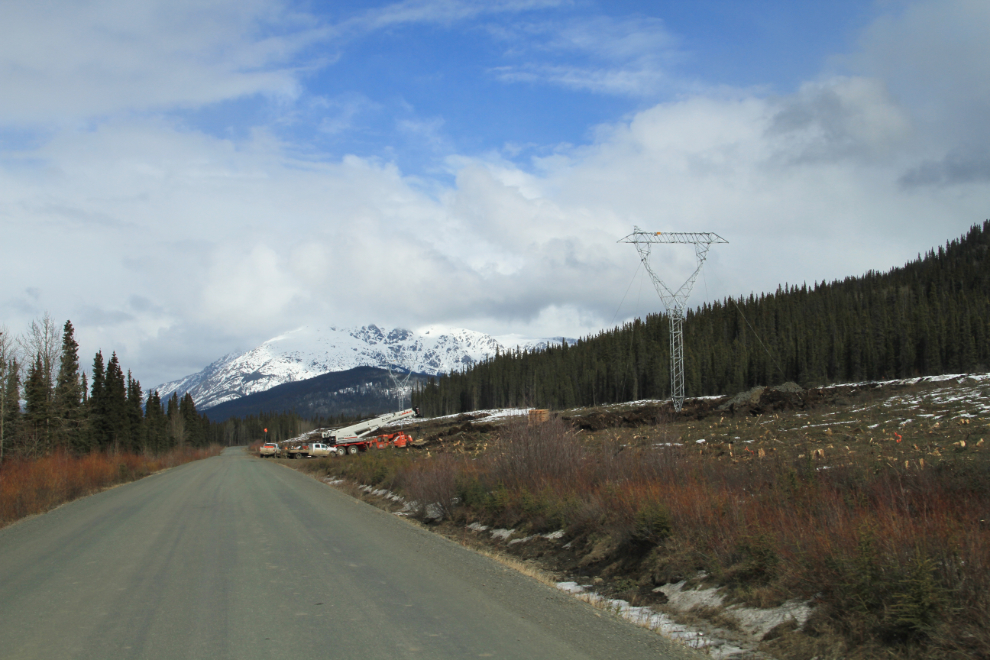
While construction of the main Northwest Transmission Line is almost finished, the extension to Iskut is just starting the tower erection phase, and there are crews working everywhere along that part of the highway.
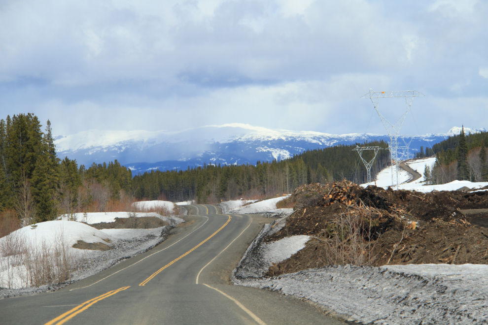
I took this shot at 2:15 just as a record of what it looked like before the towers went up.
The large crane that helped put up that tower was just being moved to the next site.
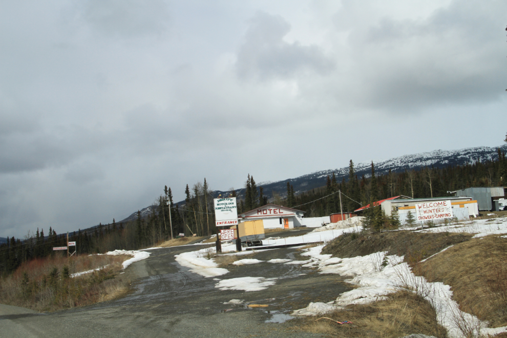
Although the sign at the Iskut Motor Inn said they were open, it didn’t look like it, so I passed by. A minute later, though, I decided that I really was hungry, so did a U-turn when I could and went back. But, driving around the property I could find no good indication that they really were open, and it wasn’t really clear where the cafe might be, so I didn’t bother walking through the mud to see if what might be the front door was actually open.
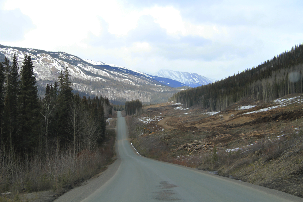
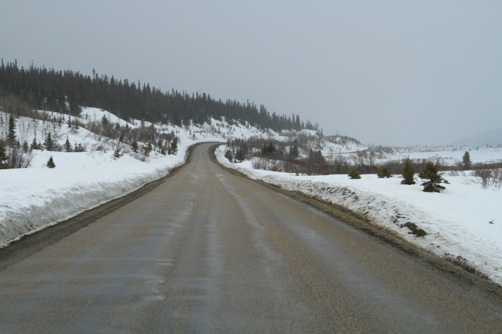
As expected, it was still Winter in Gnat Pass just south of Dease Lake at Km 468. This is the roughest section of Hwy 37, and pretty much always has been – for almost an hour, speeds above 70 kmh (43 mph) are just asking for trouble.
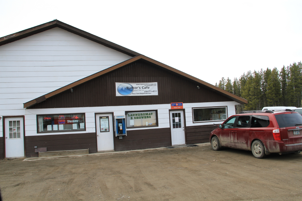
I was dreading having to have lunch at the PetroCan station in Dease Lake, but luckily noticed a sign for a new cafe next door. Everything about Rumors Cafe was excellent – what a relief 🙂 The big banner announces their Web site, and I was going to link to it for you, but there’s no such site.
The light got pretty flat for photography, so the drive up the highway quicker than it often is. By 5:30 when I took this shot approaching the Cottonwood River Rest Area (which is lovely when it’s open), I was starting to think that I’d make it home that night.
One last shot as I approached Good Hope Lake at 6:00 pm. Never plan on fueling up here despite what guidebooks and even highway signs might indicate. As usual, there was no fuel when I passed through, though Highways Department signs a few miles back said that there would be (I didn’t need any).
With a couple of short stops for small amounts of fuel (the truck’s tank needed to be nearly empty at Whitehorse to maximize savings), I was home at 11:30 pm. Cathy had been watching my progress on my Spot page, so it wasn’t a surprise to her 🙂
It was a particularly good trip, helping a friend out and having a fine adventure. Now, Spring is about to arrive, and lots more adventures, though shorter ones, are being planned!