Driving from Smithers to Whitehorse, the long way
For two weeks I’d been keeping an eye on the weather forecast for my planned return route via Highways 16 and 37, the Yellowhead and Stewart-Cassiar. They’d been very good until the day before I left Hinton, when things started to turn bad.
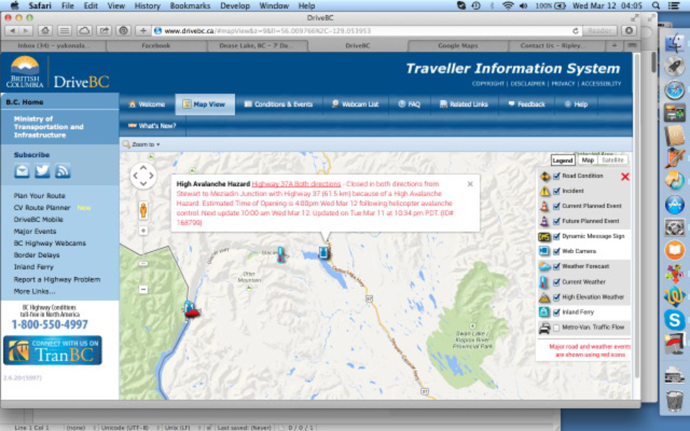
When I went to bed last night, things didn’t look good on the DriveBC site, and when I got up just before 04:00, it was very bad – the highway to Stewart was closed due to avalanches, and a travel advisory was in effect a bit further north due to heavy snow. Unable to stay in Smithers for 2 days until the “massive storm” abated, I was left with no option but to retrace my route back to Prince George and head home via the Hart and Alaska Highways. At 04:15 I checked out of the Sunshine Inn and was on my way, not in a very good mood – I was really looking forward to seeing Stewart in particular again.
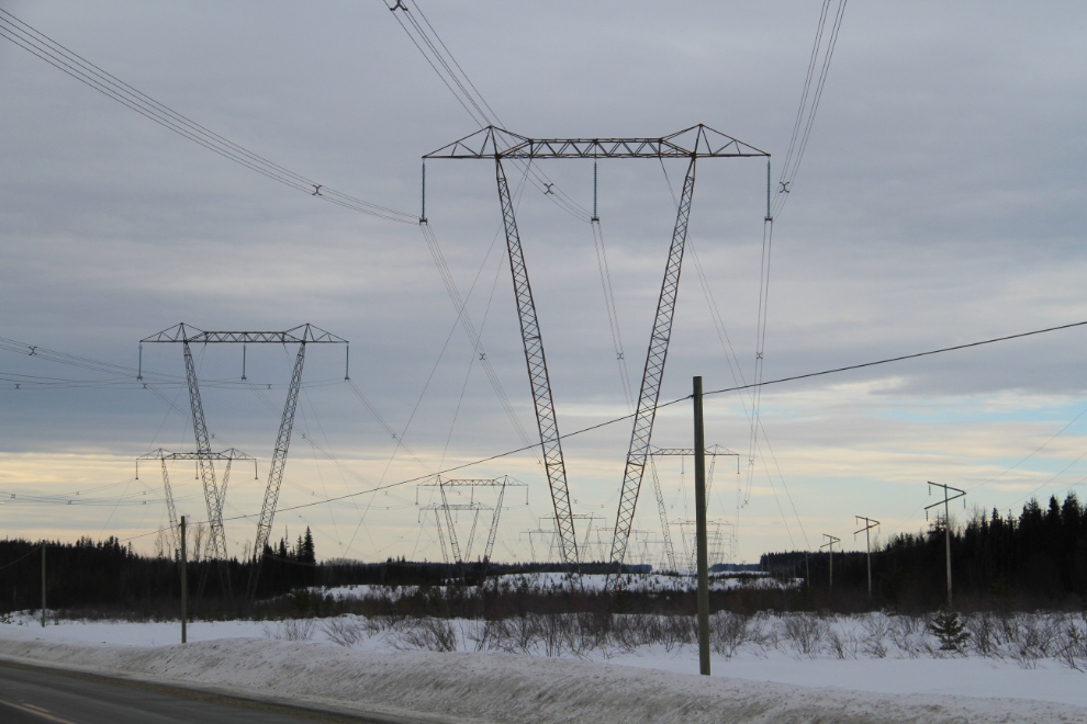
By 09:30 I was well north of Prince George on the John Hart Highway (BC Hwy 97), with the power lines from the W.A.C. Bennett Dam never far out of sight.
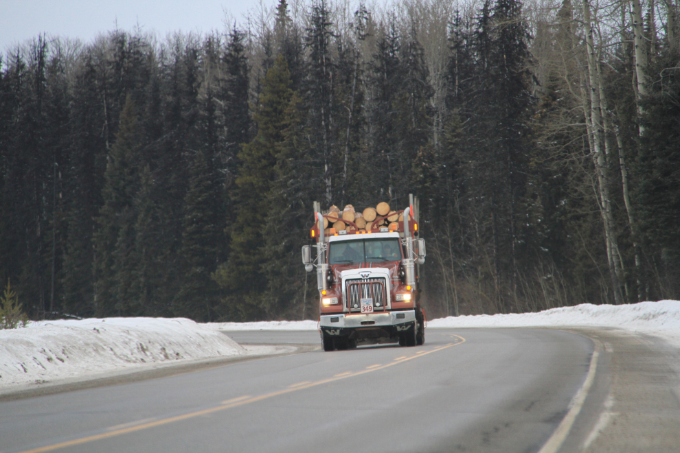
I heard on the radio that due to the exceptionally warm temperatures, all logging in the region was going to be shut down in 2 days, so there was a constant parade of logging trucks.
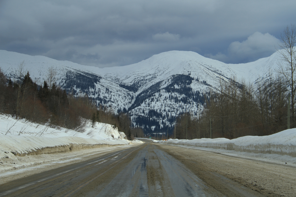
The highway climbs to 874 meters (2,868 feet) going over Pine Pass.
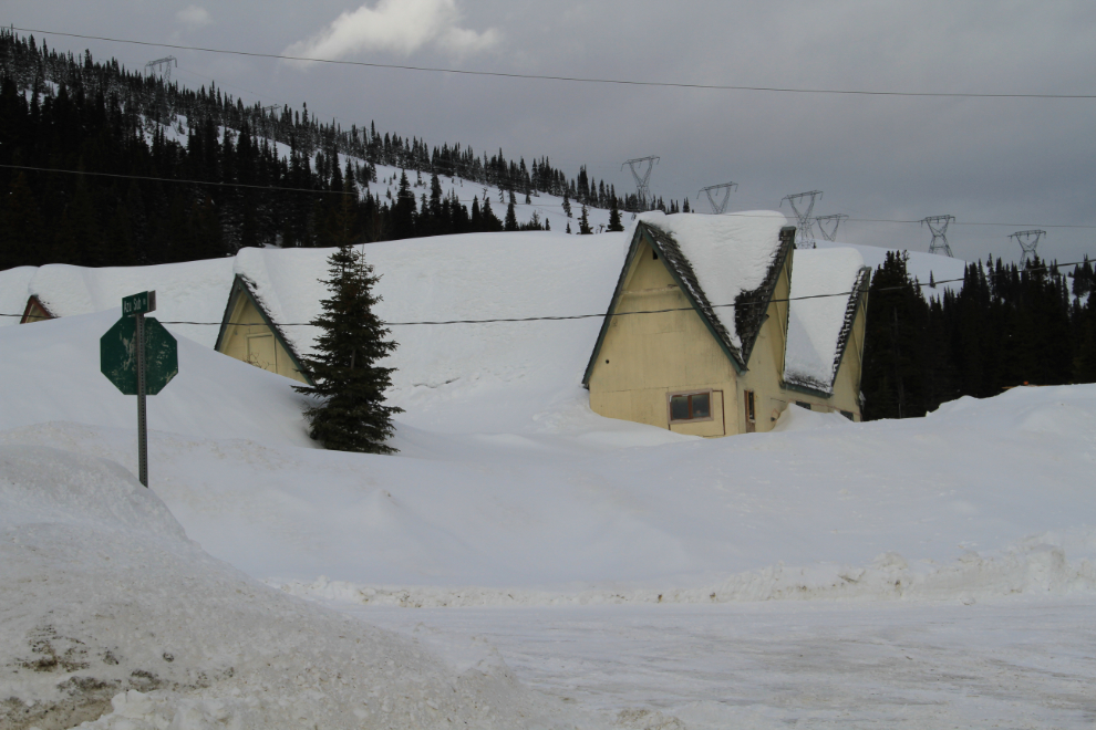
The old lodge at Powder King ski area is looking pretty sad. It closed many years ago, replaced by a new one in a much nicer location further off the highway.
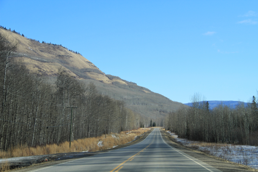
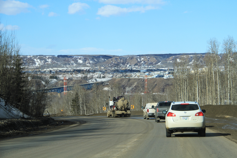
Nearing Chetwynd – out of the snow and into forecast sunshine for many hundreds of k.
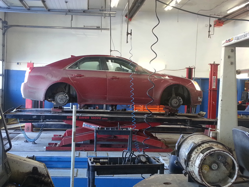
I had to make a stop in Chetwynd. The balance of my winter tires was never exactly right, and gravel and mud on the inside of them had now made the shudder too bad to keep driving. The guys at Kal Tire quickly solved the problem so I could drive at whatever speed I wanted with no issue.
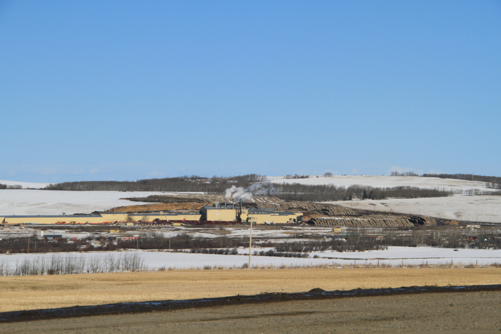
I bypassed Dawson Creek this time – this is the large Louisiana-Pacific OSB mill on the western outskirts of town. It produces OSB (oriented strand board, a.k.a. particle board) wood panels.
Dropping down to the Peace River at Taylor.
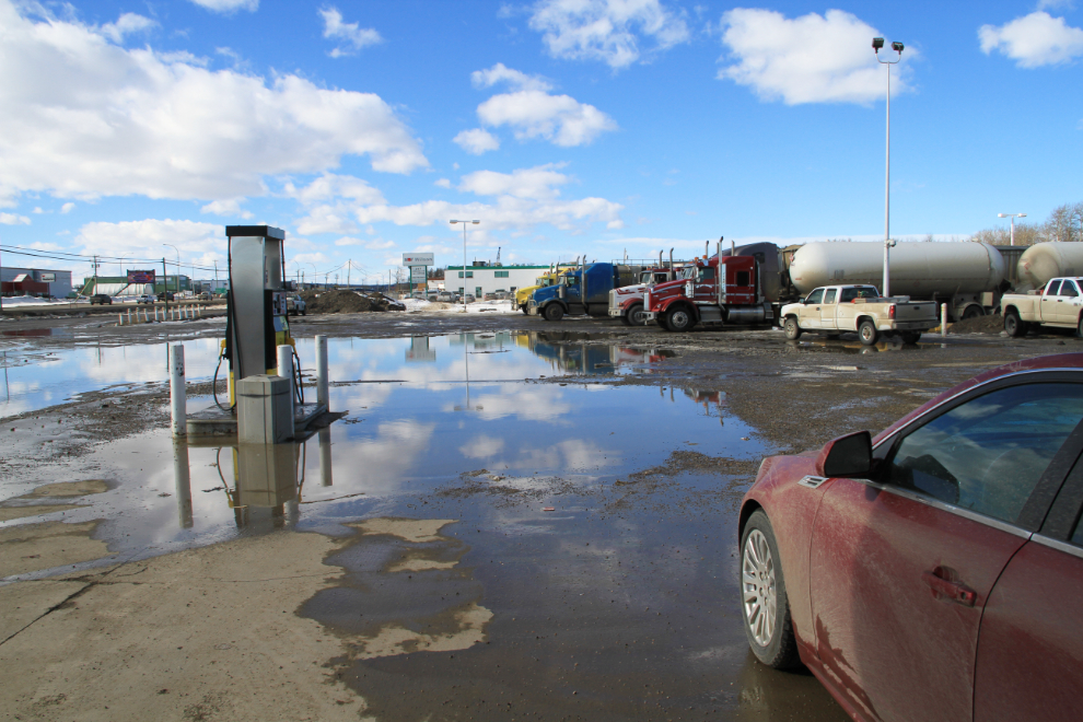
It felt and looked like Spring at Fort St. John, where I had to make a few short stops to get fuel, have my wheels re-torgued and to get a couple of gallons of windshield washer fluid.
I thought about spending the night at Fort Nelson, but wasn’t nearly ready to quit driving at 6:30 pm, so kept going, knowing that there were no accommodations available further on. I stopped at a pullout at about 9:00 pm and got about 3 hours sleep.
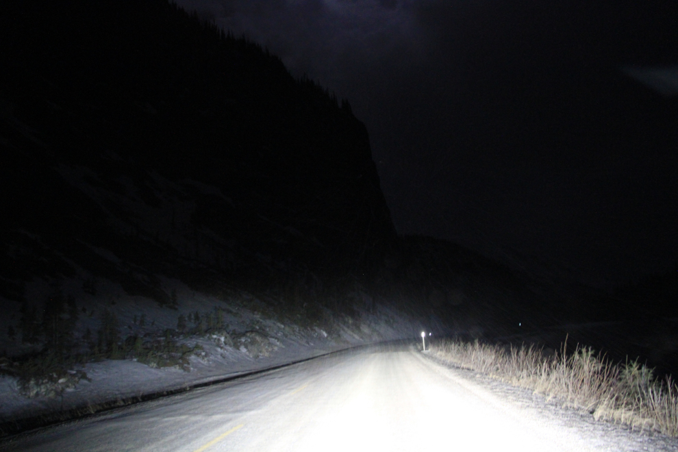
By the time I took this shot along the Toad River just after midnight, the night was absolutely magical, with a nearly-full moon lighting up the peaks along the route. Some snow was falling from the ragged clouds – sometimes light, sometimes very heavy and driven by a strong north wind. I love driving in conditions like this! Yes, I’m serious 🙂
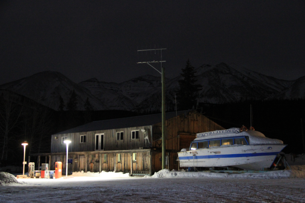
I made a u-turn to take some photos of the Double G lodge at Muncho Lake. If you’re in a bright room you may not see the moonlit mountains behind it – the reason I made that u-turn.
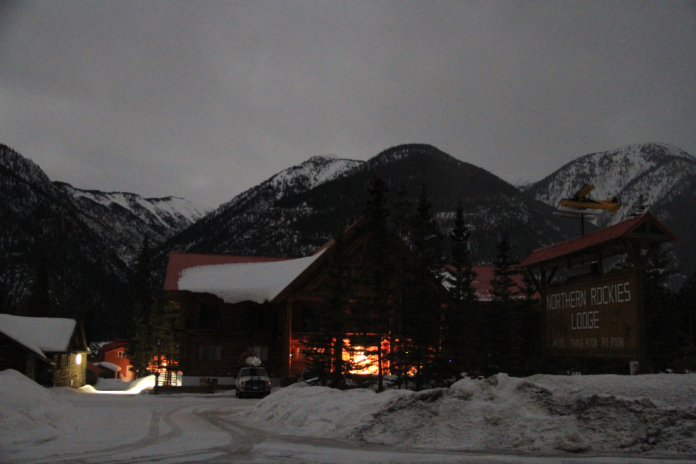
I stopped at Northern Rockies Lodge where I overnighted on the way south for another few photos.
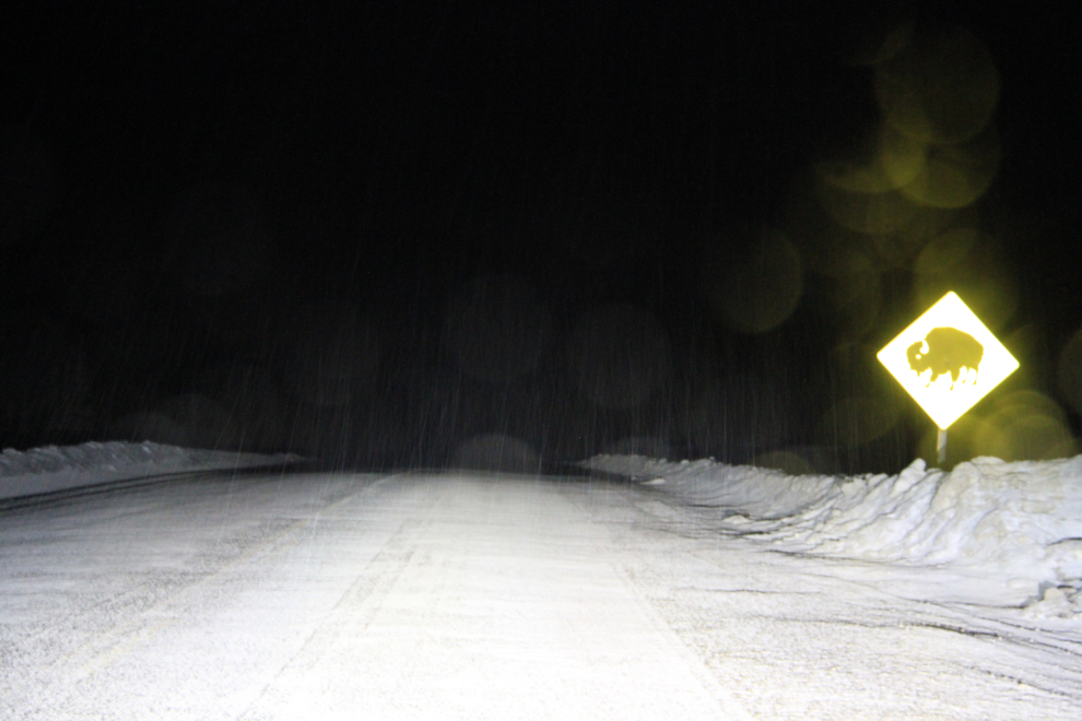
My car has great highway lights but when there’s snow falling and there’s a strong possibility of encountering bison on the road, speed drops substantially – 70 kmh (43 mph) was about right for quite a while.
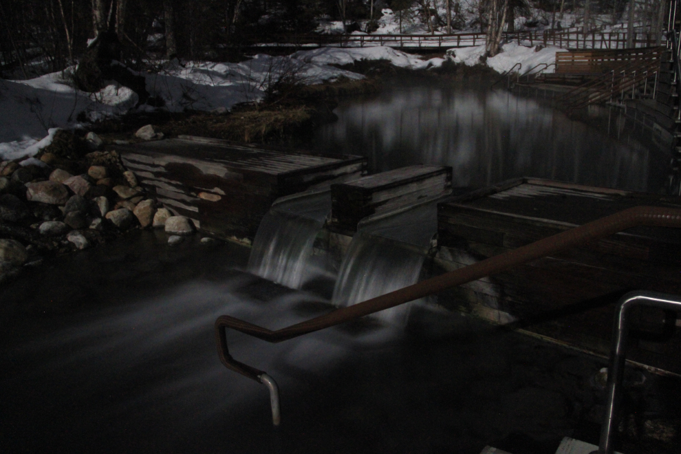
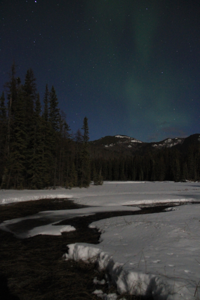
By 02:00 I had reached Liard River Hotsprings and was really looking forward to a long soak, knowing that that would put me to sleep for a while. With nobody else there, dead silent and lit by the moon, it was wonderful.
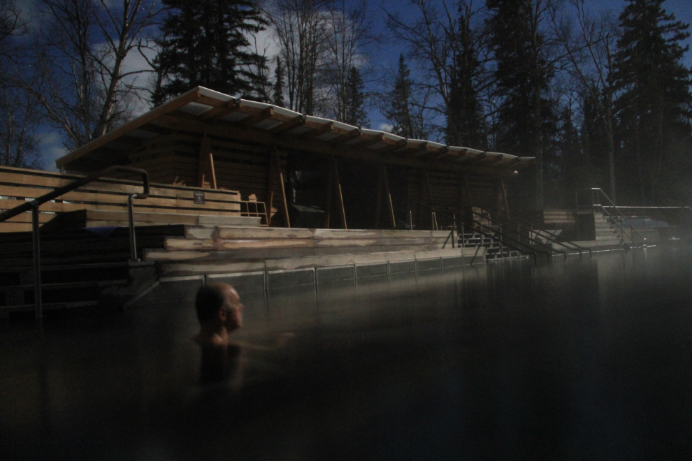
I just don’t even have the words to describe an experience like this. To get this photo, the camera was on a tripod, in the pool with the camera about a foot above the water, with the timer on an 8-second delay and the shutter set to open for 6 seconds.
On the walk back to the car, I was thrilled to see a faint aurora. Though quite faint, it takes a powerful display to be visible over the light of the moon. I retraced my steps back to the springs hoping to get a photo of the aurora over the pool, but couldn’t get it placed right.
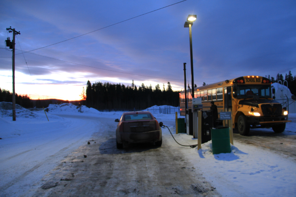
I caught another couple of hours sleep about an hour after leaving the hot springs, and the sun was just starting to come up when I stopped for the final load of fuel at the Watson Lake card lock at 07:35.
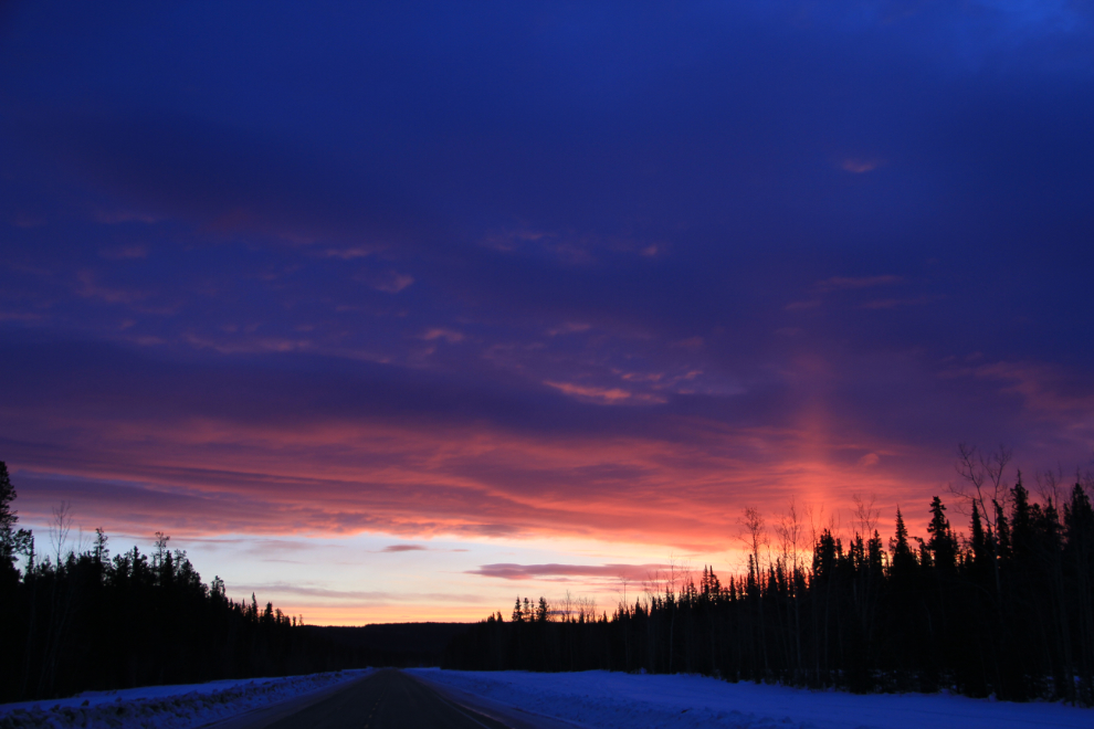
The beautiful colours behind me as I passed through the village of Upper Liard 15 minutes later.
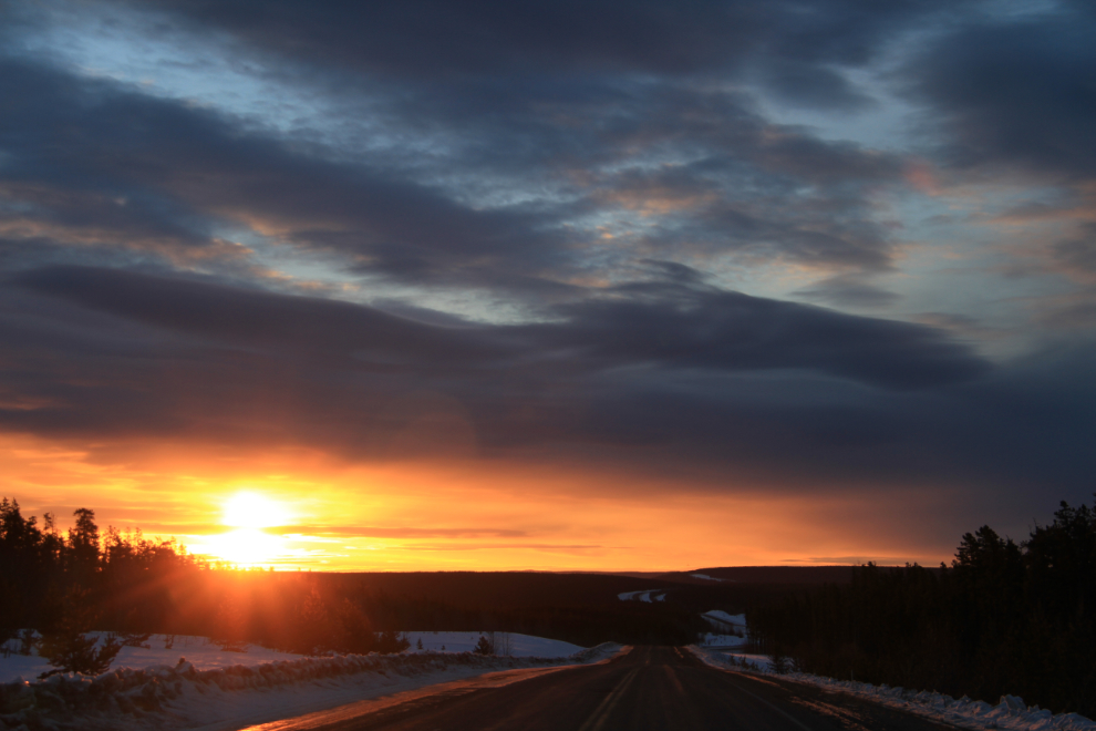
I made a couple more stops for sunrise/dawn photos, this one at 08:10.
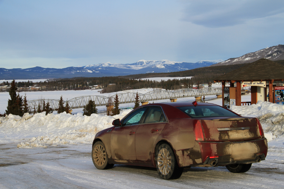
Teslin, only an hour and a half to go.
I got home just before noon, and Cathy came home on her lunch break a few minutes later. It was a great trip, but getting home to my family is always wonderful.
The trip stats:
– Time: 18 days
– Total mileage: 6,748 km (4,193 miles)
– Total running time: 90 hours, 50 minutes
– Hinton-Whitehorse mileage: 3,052 km (874 km further than planned)
So, am I tired of driving now? Well, in another month, I’ll be doing the Vancouver-Whitehorse drive with a moving van for a friend. Once a long-haul driver, always a long-haul driver 🙂