Exploring a bit of the WP&YR railway at Mary Lake, Yukon
Each Fall, I get a bit manic trying to do a million more things before the snows flies and the cold sets in. This year I may be even worse because of the combination of really poor weather for most of the summer, and being physically and mentally unable to do much. I’m feeling pretty good now, though, and am trying to make up for a little bit of lost time, without hurting myself. That’s a tough balance, but the dogs and I were out again yesterday afternoon, just a mile from home.
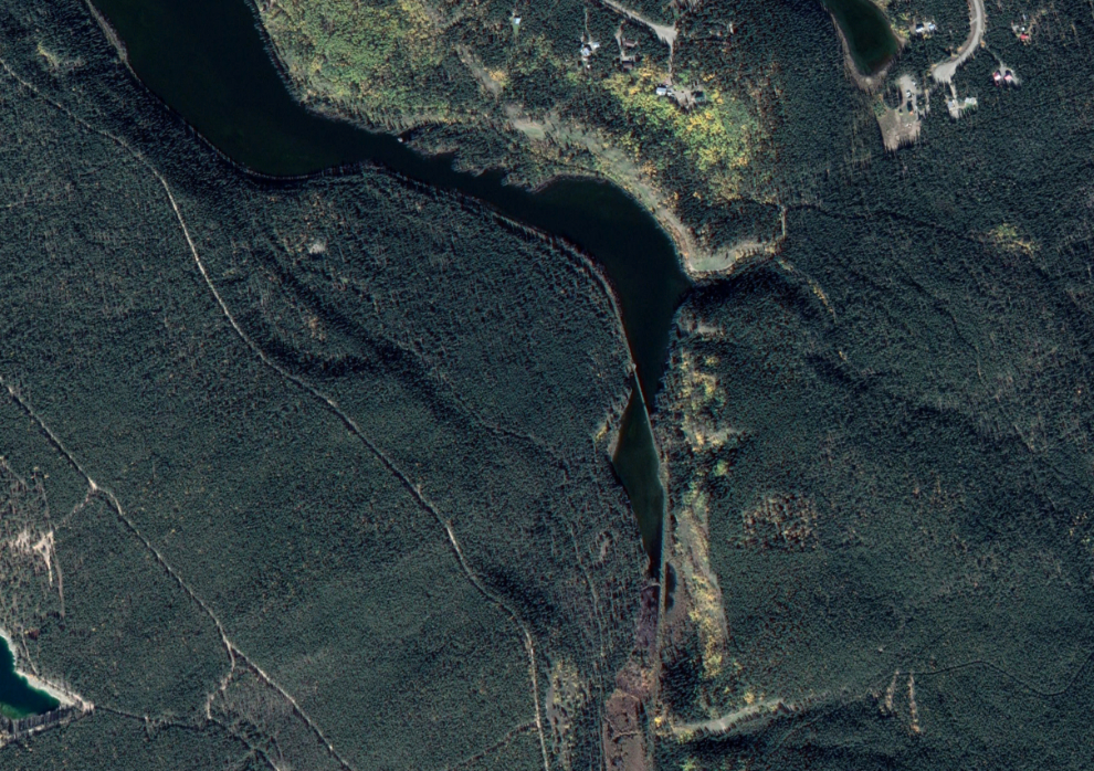
I’ll start with a map this time. On this Google Earth image, my destination was the spot where the WP&YR railway crosses Mary Lake towards the head of the lake, just about in the centre of the image. Go to an interactive map of the location here.
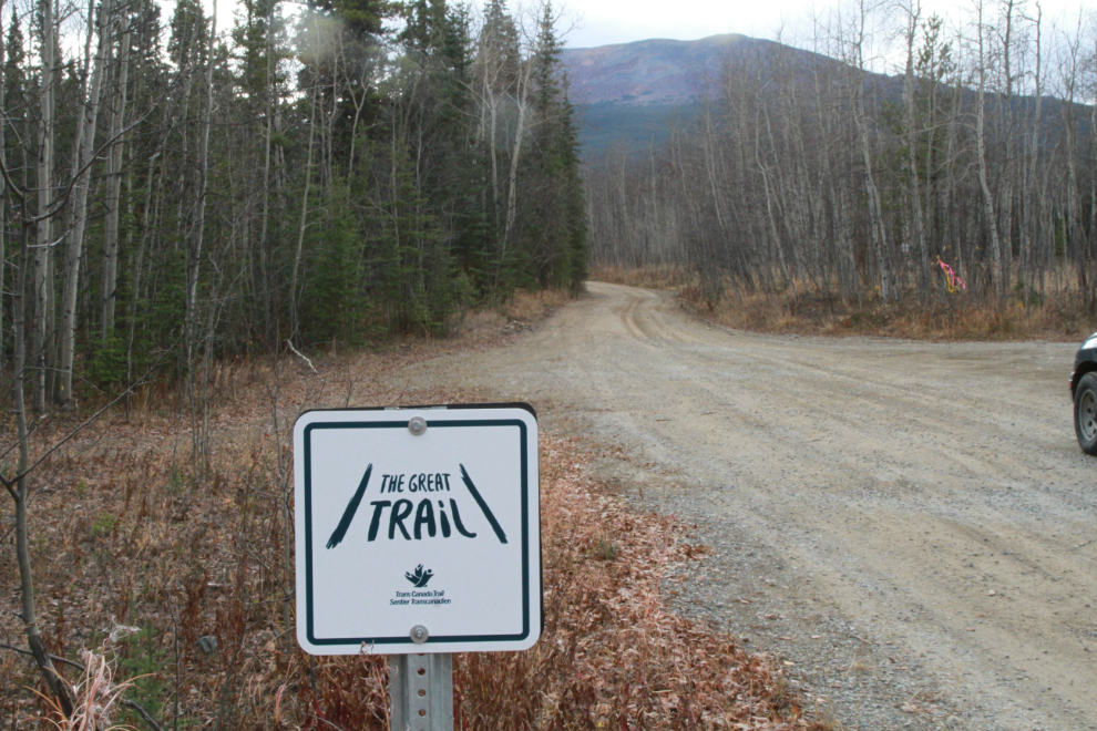
At 2:25, I turned off the pavement 4 blocks from home, onto a network of gravel and dirt roads through which runs the Trans Canada Trail, officially renamed The Great Trail in September 2016.
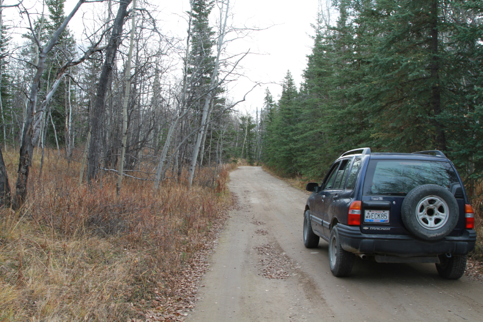
The next photo shows the start of the road that runs along the north shore of Mary Lake.
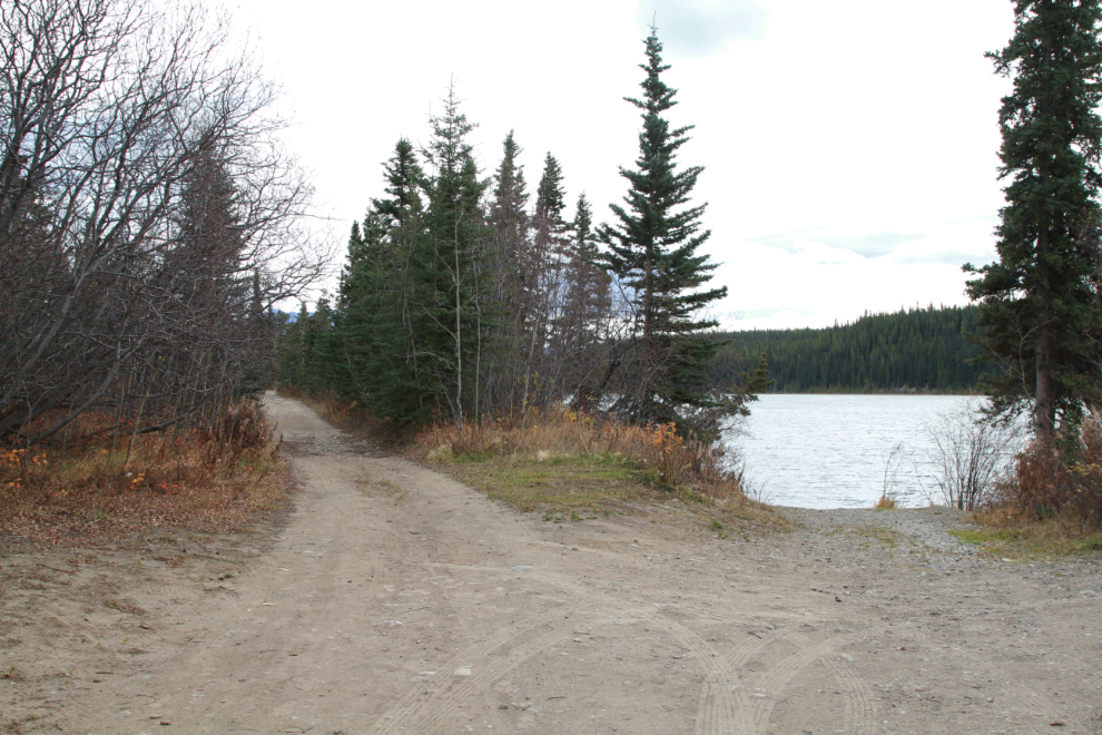
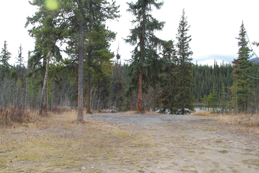
There’s a handy boat launch for canoes and such, but I’ve seen very few people paddling the lake.
At the far end of this spot, overlooking the lake, is a stone fireplace that was used by a C.Y.O. bible camp that operated here in the 1960s. The Boys Scouts took over and expanded the camp, but there’s nothing left now. The lake was originally called Ruth Lake, and the local story is that it was the bible camp operators who had the name changed to Mary Lake, though I’ve found no confirmation of that.
This appears to be the major trail from the Mary Lake subdivision down to the lake.
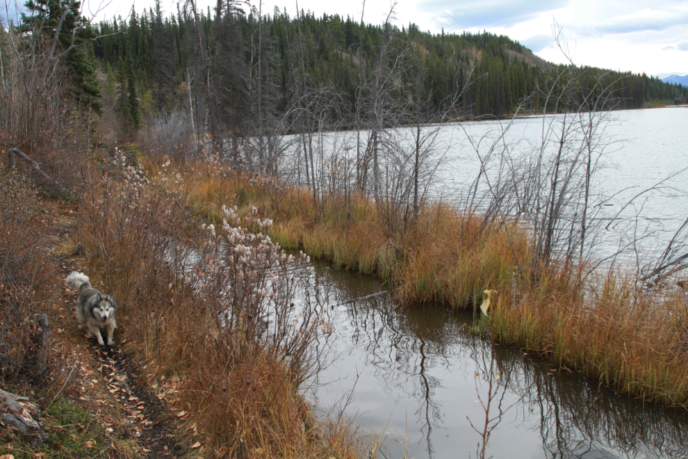
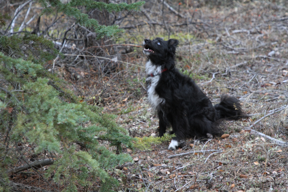
At 2:40 we came to a flooded section of the road, as expected, and I backed up to a pullout and parked the Tracker. This is the part Bella and Tucker love 🙂
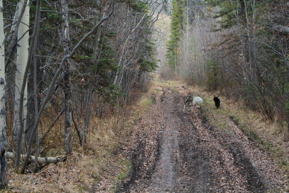
Just before reaching the flooded section I had met a couple of ATVs who had come through – the water reaches about a foot in depth. The Tracker would probably get through it just fine.
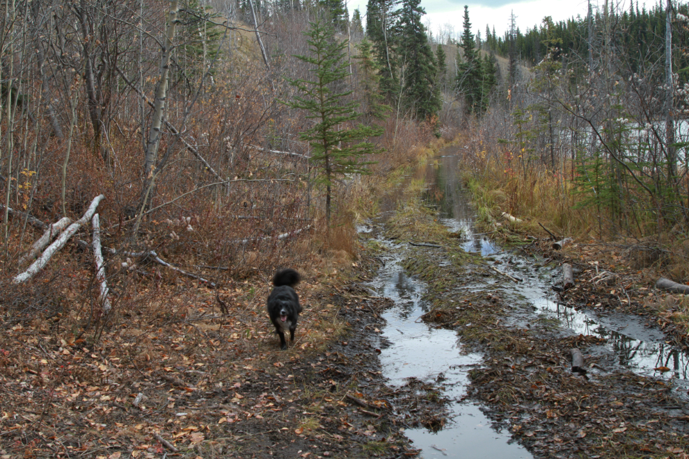
There’s a well-used trail along the side of the flooded section, which has been that way for many years.
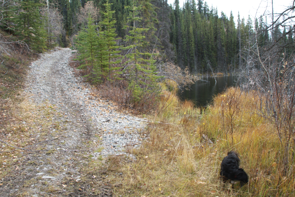
At 2:55, we reached the spot where the road climbs away from Mary Lake and goes east to join the South Klondike Highway just north of Kookatsoon Lake. One of the things I was looking for on this outing was good places to take my new mountain e-bike when it arrives, and this is certainly on the list.
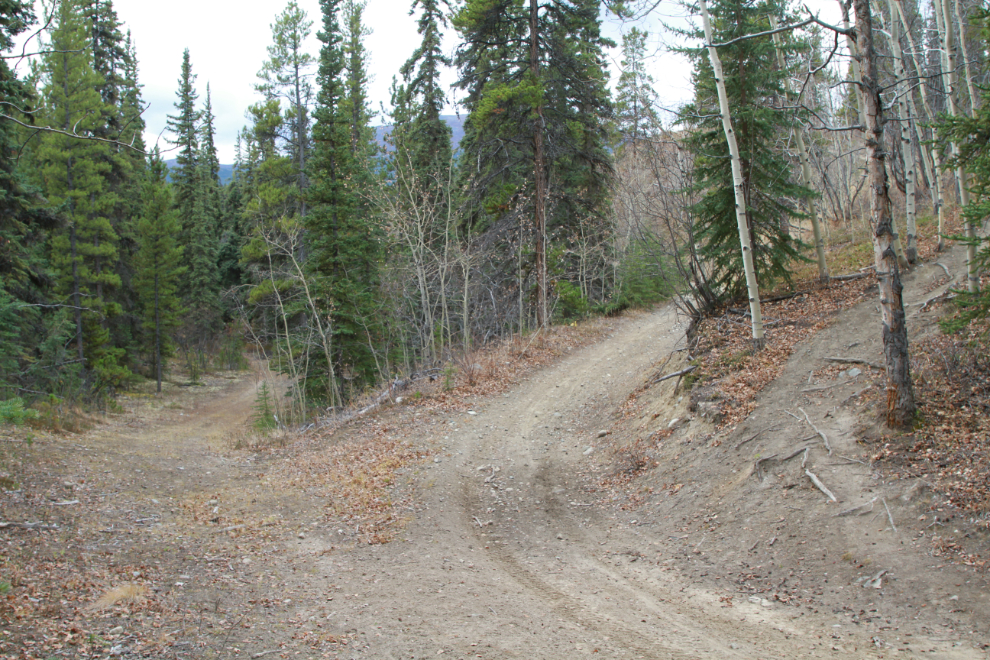
Looking back towards Mary Lake. We had come in on the middle road in the next photo, and would then turn down the one on the left, back towards the lake.
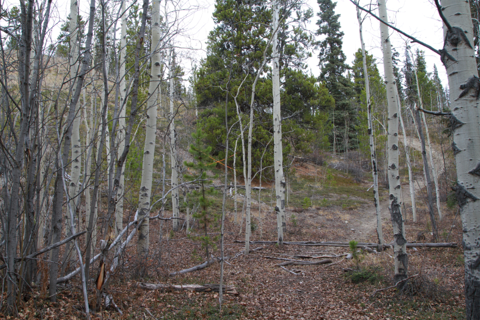
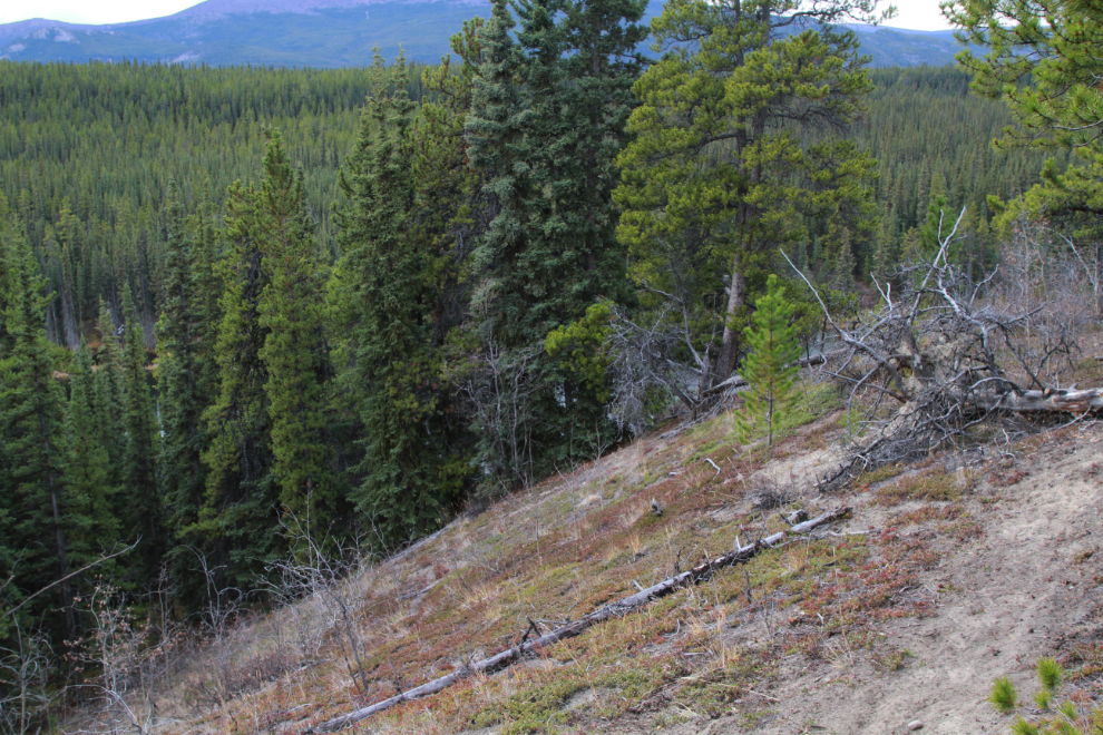
That road soon petered out, and we climbed a very steep trail up about 80 feet onto a ridge.
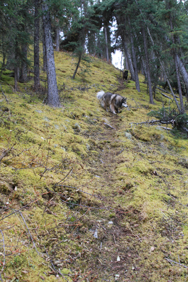
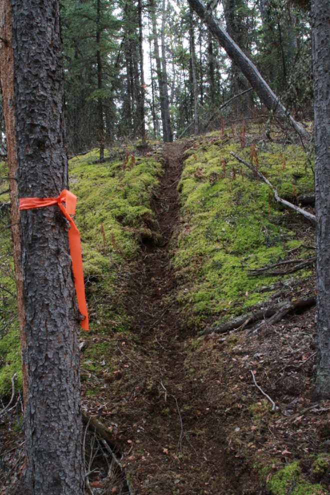
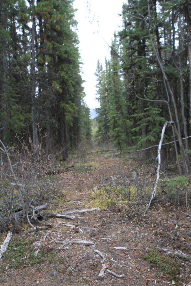
At the top of that trail, we came to an apparently new bike trail. I’ll definitely be back to see where it starts and ends. For now, it led us in the right direction.
That trail took us to this wonderful view of much of Mary Lake.
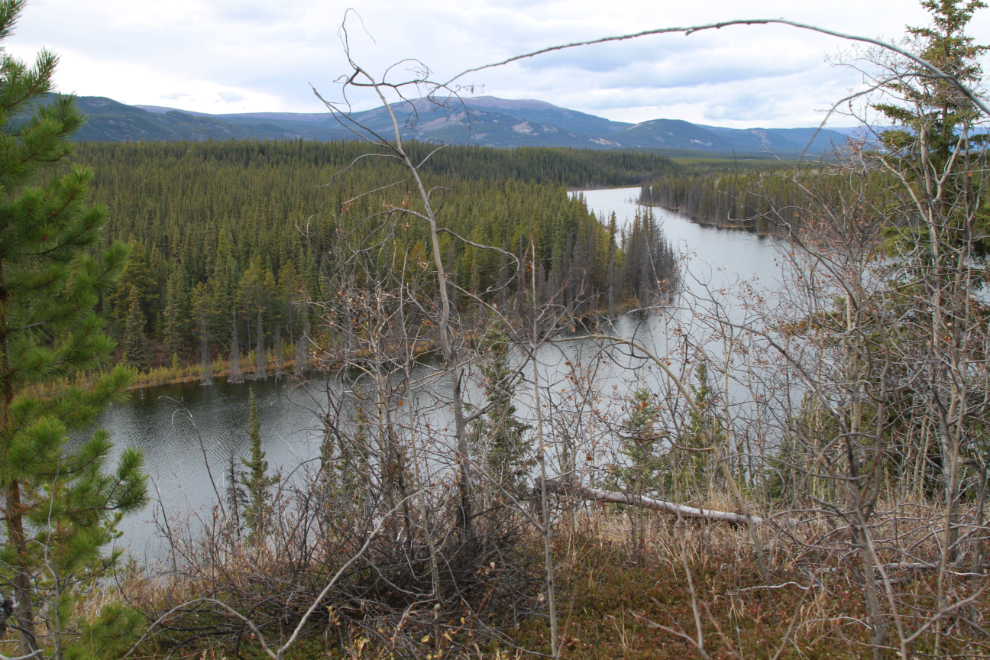
I had to give some serious thought about going down that slope to the left, which is where the railway is. The question in my mind was, can I get back up it? Even three weeks ago, there was no way I could even have reached this point, but I still have to be very careful.
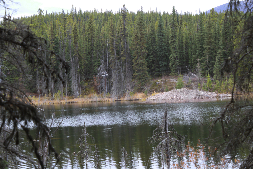
At 3:15 we were on the shore of the lake, looking across at the railway, and one of the largest beaver dams I’ve ever seen, probably 40 feet in diameter. Busy beavers!
The tree fort in the next photo may date to Scout camp days – 1970s. They did many activities like this sort of construction.
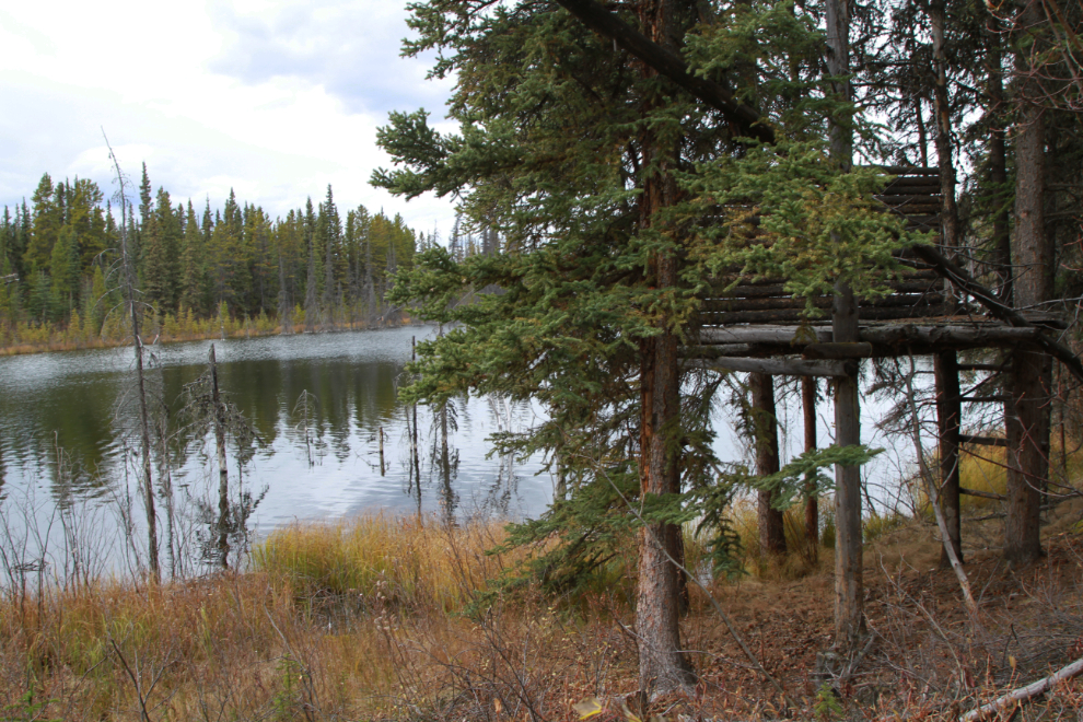
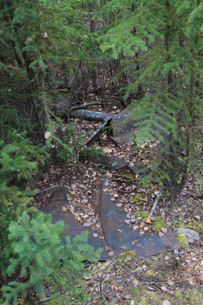
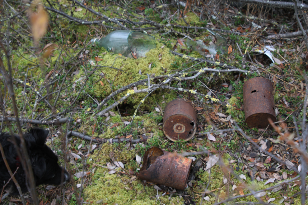
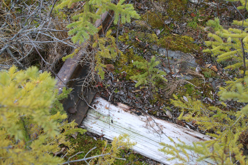
During railway construction days (1899-1900), there was a railway spur here, and a camp for the crews. There’s a lot of tin and steel laying around from those days.
A motorcar pullout along the railway.
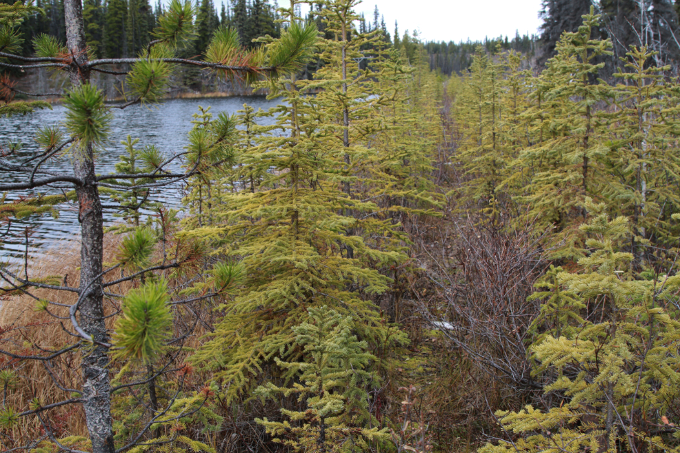
The brush and trees have grown quite a bit on tha railway grade in the 7 years since I was last here. I’ll wear long pants next time!
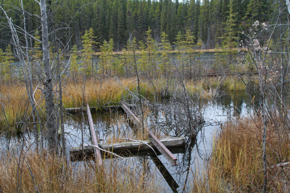
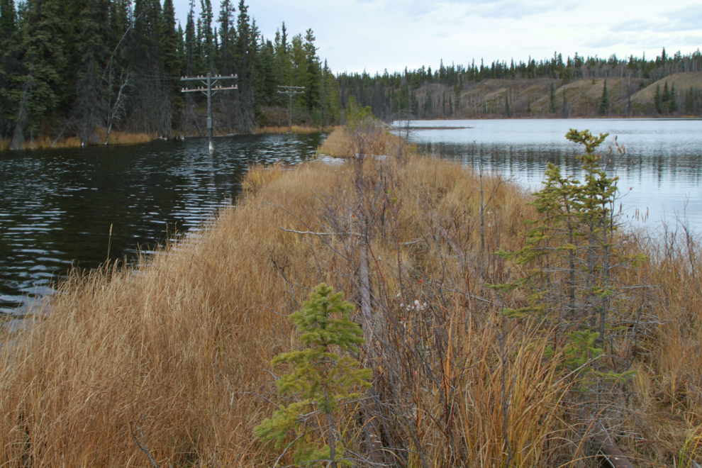
Crossing Mary Lake, which is quite shallow here – perhaps 10 feet deep.
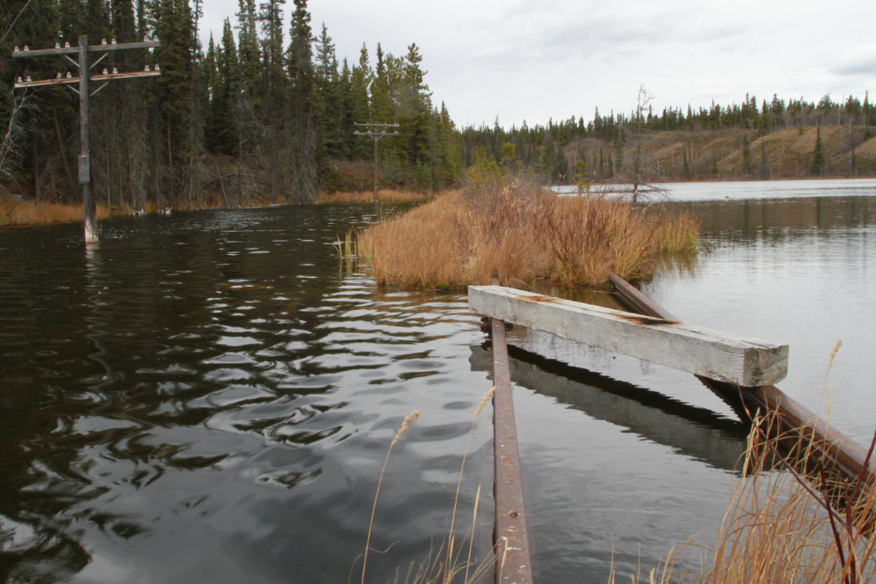
All the ties that were still hanging here 7 years ago have now washed way. There was a little bridge here. While we were checking this out, a beaver came out of the nearby lodge and slapped his tail, scaring Bella, who started to run away – she’s terrified of anything that sounds like a gunshot. She’s great with recall and I was able to calm her down quickly, though.
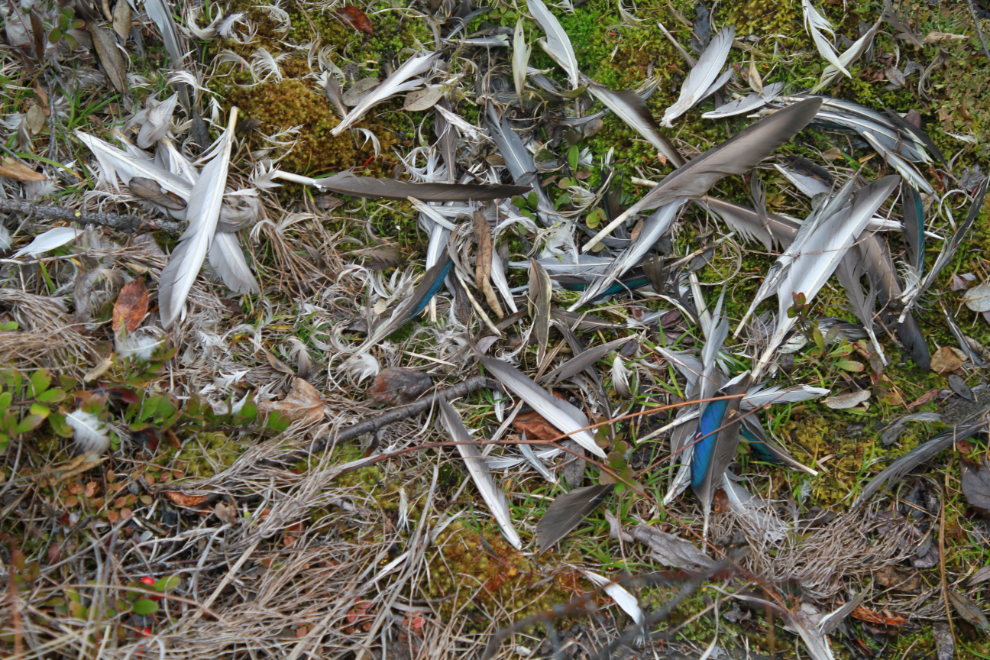
A Steller’s jay met his/her end here recently, I expect killed by a hawk 🙁 There have been many sightings of Steller’s jays reported in the Whitehorse area the past couple of weeks – it’s a bird we don’t usually see a lot of.
Every fifth or sixth tie was much newer than the rest of them – some minor maintenance done to run a train up 30-40 years ago, I expect.
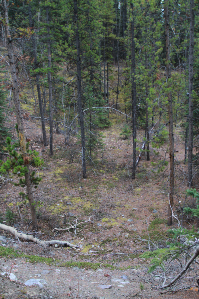
At 3:30 we started back towards the car. The area in the next photo seems to have been a gravel extraction pit for building the original railway grade.
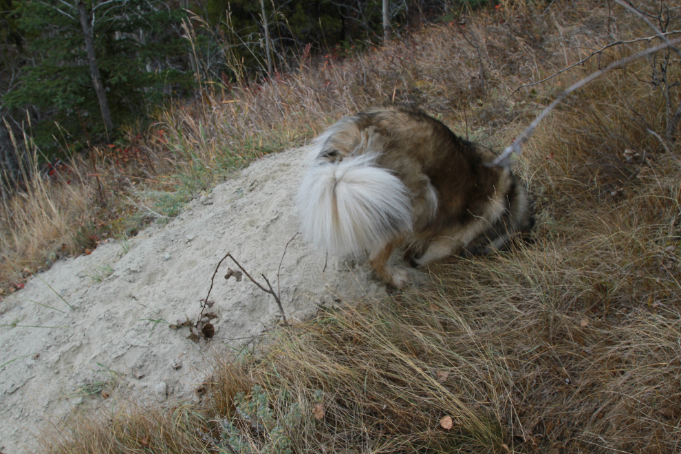
I had no problem getting back up onto the ridge, where Bella had to check out who’s home this was 🙂
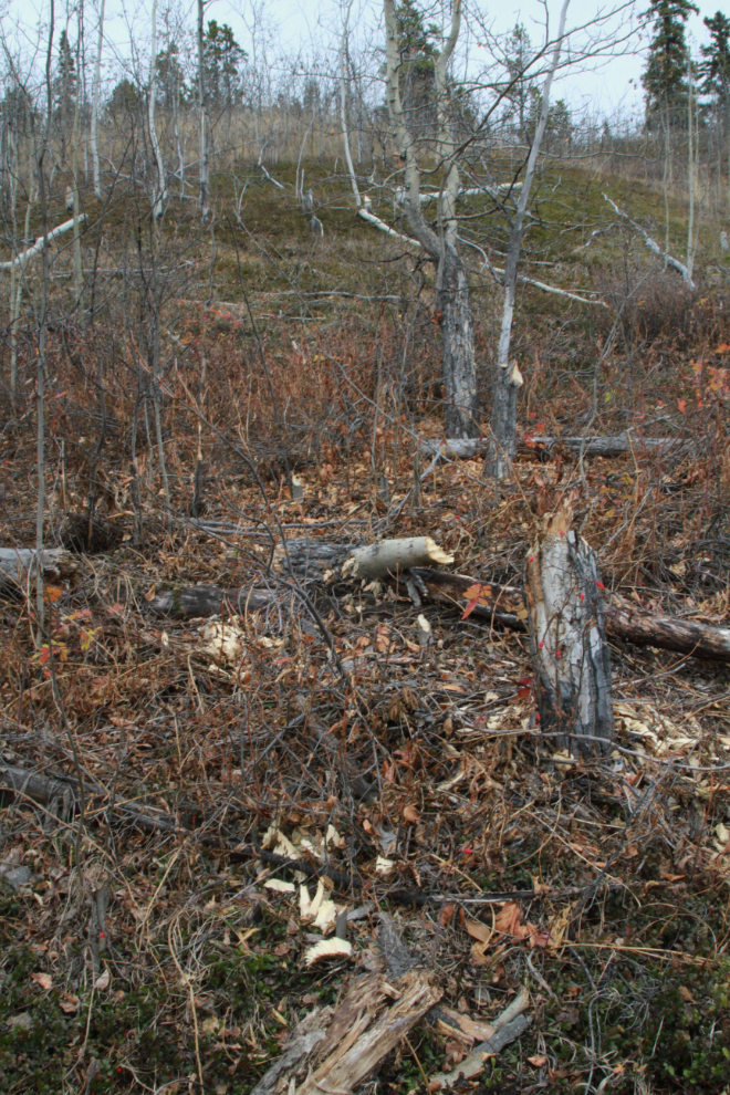
A cut-line from the copper mining days here – that spanned about 6 decades, but this looks to be from the later period, in the 1960s.
For Tucker, squirrels provide about the most fun a guy can have 🙂
Almost back at the car, the beavers’ logging operation is very impressive.
Right at 4:00, back in the Tracker ready for the short drive home, with Bella wet, dirty and happy – the perfect end to an excellent 2-hour-long outing.
To see much more of the WP&YR railway at Mary Lake, my lengthy 2013 blog post is titled “The History Hounds, Sniffing Around the White Pass Railroad“.
Cant wait to see mountain bike pics!
I’m so excited about getting that bike! I sure hope the snow holds off for a while.
and don’t forget to keep some juice for the return part!
Yes, that seems like an important part of the calculations 🙂