The History Hounds, sniffing around the White Pass railroad
It’s funny how sometimes a subject or a person that hasn’t been in your life for quite a while will all of a sudden appear over and over in a short period. This past week, that subject was the White Pass & Yukon Route railway.
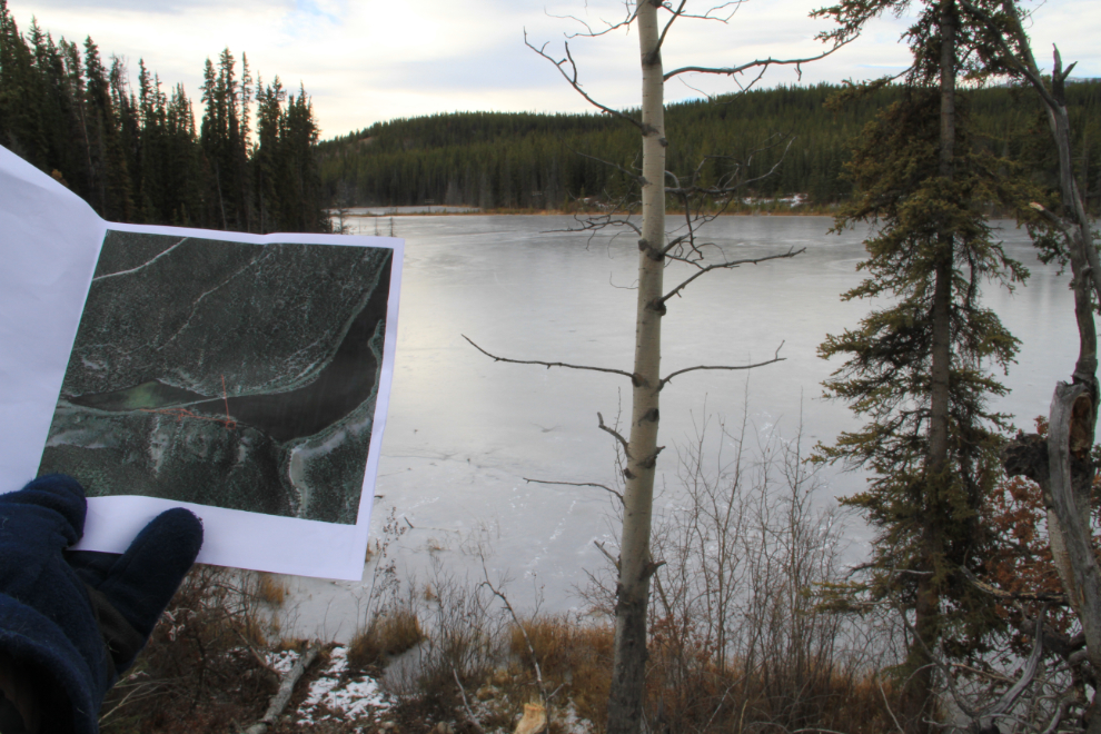
It actually began with a discussion on the White Pass & Yukon Route Fan Mailing List about the location shown on this century-old playing card. Where is Ruth Lake?
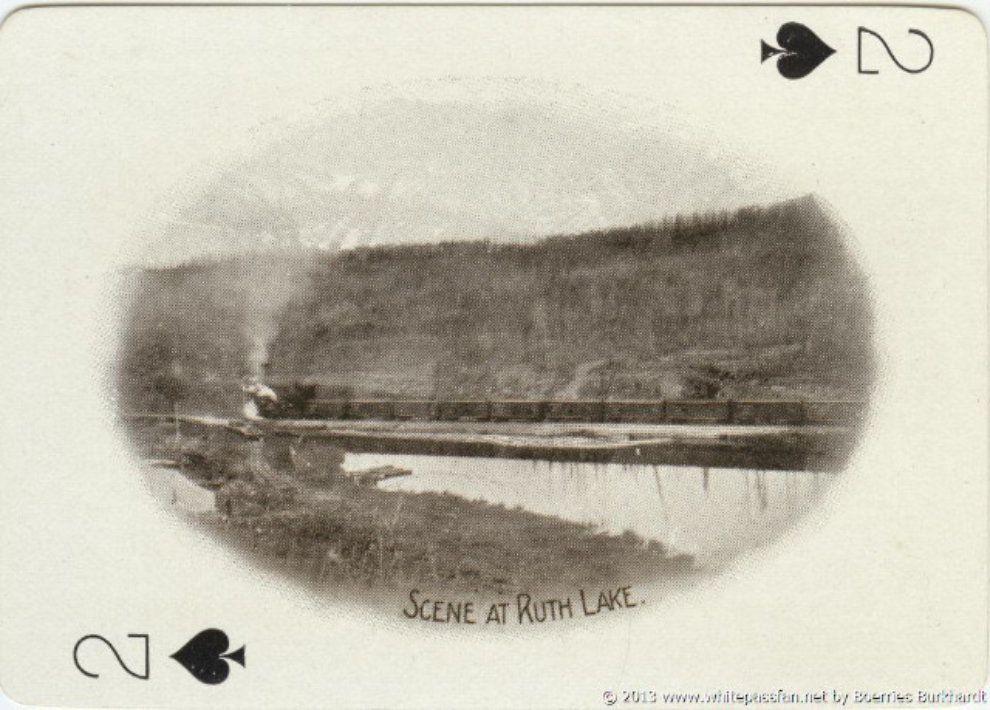
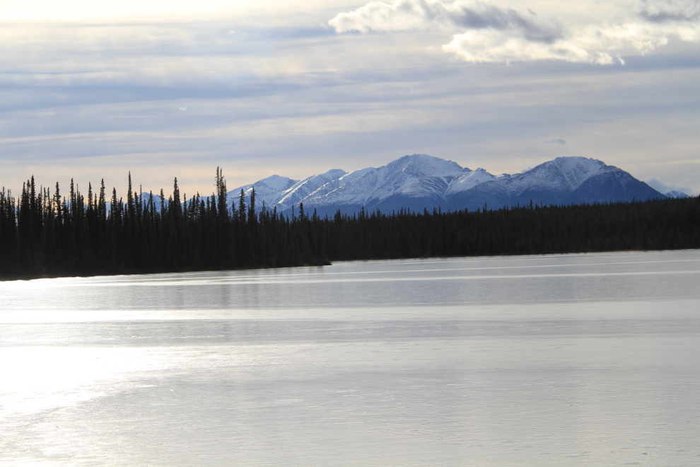
A few guesses were made, and finally one of the 457 members of the group found an old Fisheries document online – it had a map of Ruth Lake, and I immediately recognized it as what we now call Mary Lake, just over a kilometer from my house as the raven flies. See the location (and explore beyond) in Google Maps.
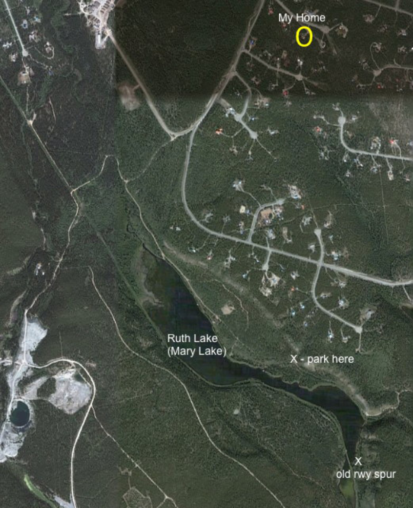
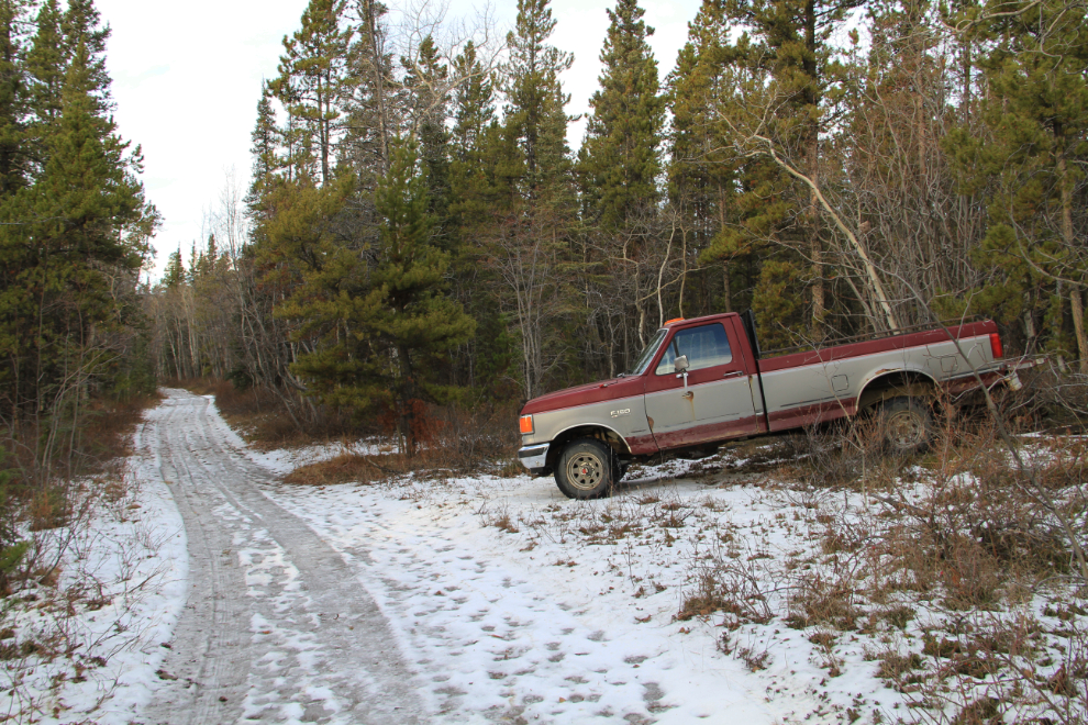
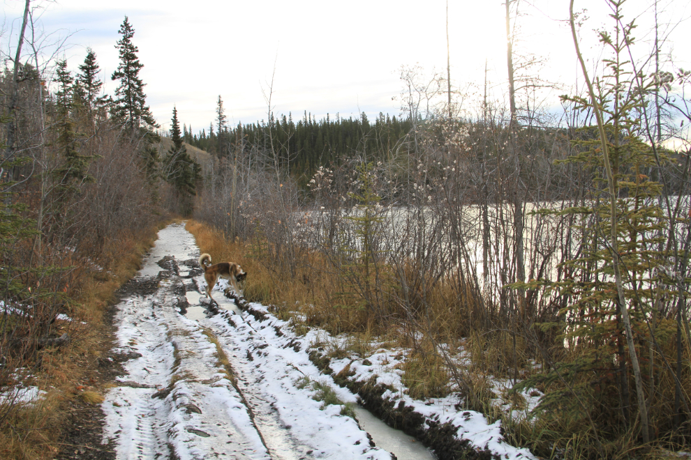
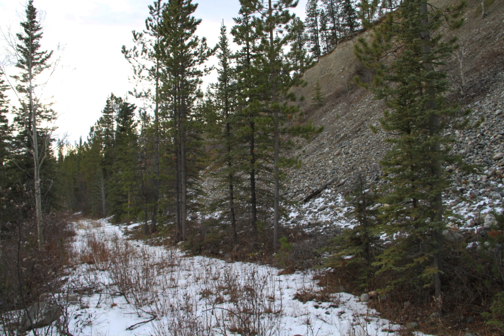
I couldn’t, though, figure out exactly where the photograph was shot, so decided to make a hike to find it. Monty always enjoys a day that includes a ride in our old truck – we’ve had some awesome adventures on such days! 🙂 With a thick layer of ice on the ground on Tuesday morning (October 29th), I parked and we started walking down the rough road along the northeast shore of the lake.
Beaver dams are raising the lake level year after year, and this section of the road is under water for much of the year now.
I had printed a couple of images from the discussion – this looked like the right area.
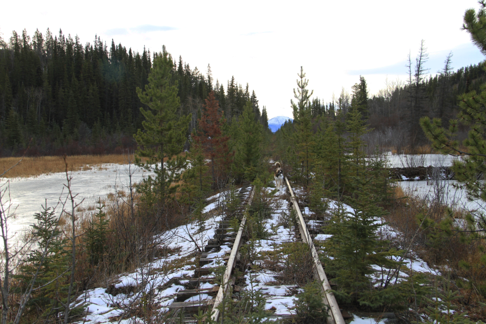
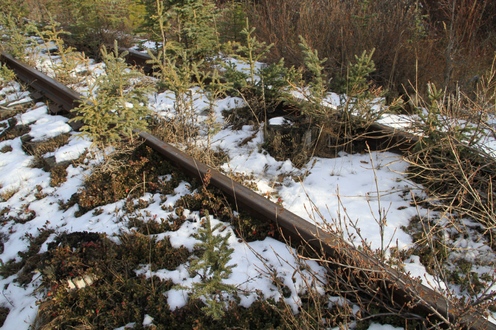
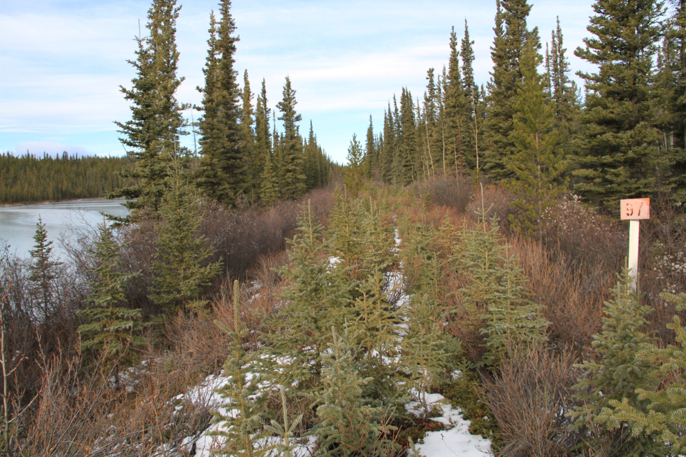
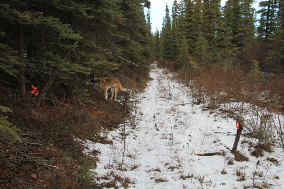
Once we got down to the rail line, following a trail through the forest, I wasn’t completely sure about the location. Although it had some strong similarities to the historic photo, I couldn’t get some of the details to fit, even allowing for a century of tree growth and increased water height. So I decided to walk south along the line to see if I could fit a location that fit better. That’s a small beaver dam to the right of the grade.
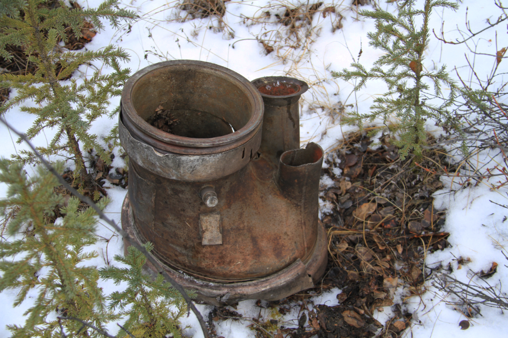
I expect that one of the railfans will know what this interesting fixture is – my guess is that it’s from a steam locomotive. It’s about 12 inches in diameter.
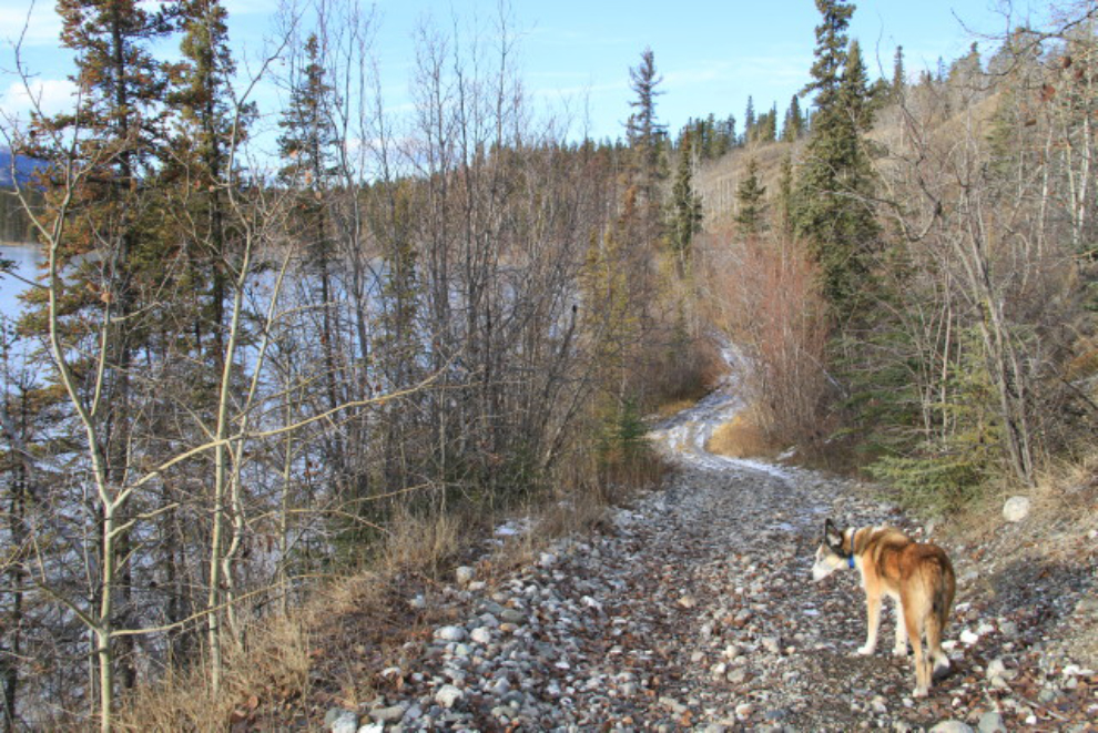
A mining claim post of fairly recent vintage can be seen to the right of the tracks. This is looking north from about Mile 98 (measured from Skagway).
This is a 3-image stitched panorama, looking to the north, showing a railway spur line and gravel extraction site to the left. This is a really lovely little valley, but very difficult to build a railway though, as it’s marshy ground for miles and would have required an enormous amount of fill.
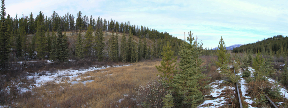
The start of the spur shown in the panorama above, again looking north. On the way back, I planned to hike down it for a look – is it just a short spur for gravel extraction?
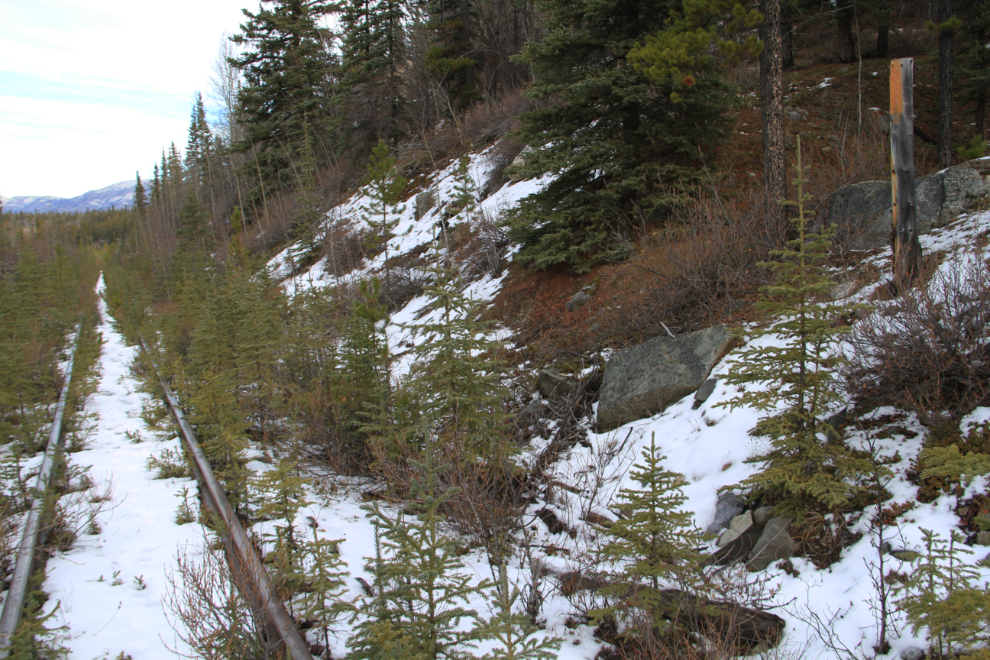
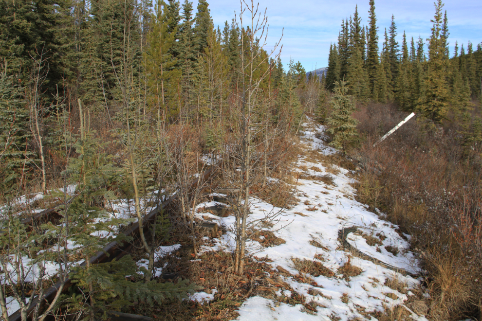
The telegraph/telephone lines along most of this section have been cut down. This was done perhaps 15 years ago, but never got completed. If I remember correctly, it was prompted by birds being killed by running into the wires – owls in particular. Contracts were let, but it was soon discovered by the contractors that the wire is steel-core, not copper, and so almost worthless, and they abandoned the job.
In the right foreground you can see a roll of wire. Having done it when I took down a long section of the line in front of my cabin at Carcross, it takes a lot of work to bundle that wire, but the rolls were never picked up.
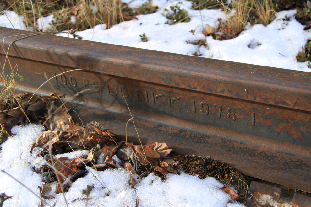
The rails along most if not all of this section were replaced during the 1970s lead-zinc ore hauls, when car weights increased dramatically over what they had been.
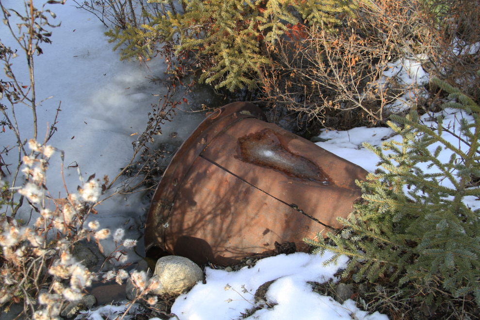
This culvert was made from a very heavy piece of pipe from some machinery, perhaps a steam plant.
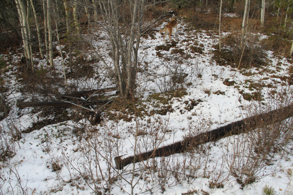
Here’s an odd one – now cut off, three pilings were set in across the tracks, as if for a heavy barrier of some sort.
Another mystery along Murray Lake, between the rail line and lake. This appears to have been a narrow wooden road – perhaps 6 feet wide, made of small-diameter logs running lengthwise, not at right angles to the path of travel as with normal soft-ground corrugation.
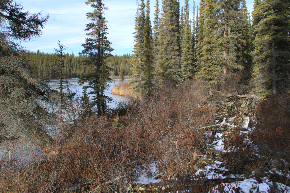
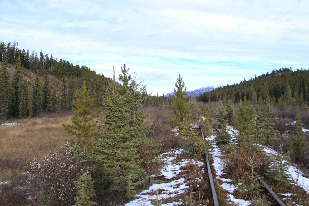
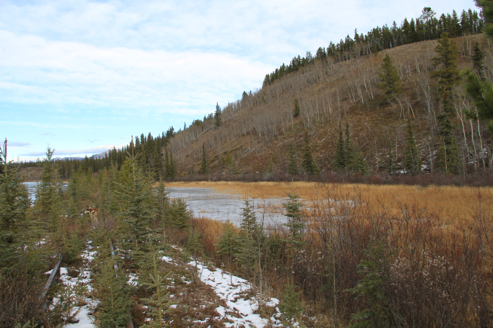
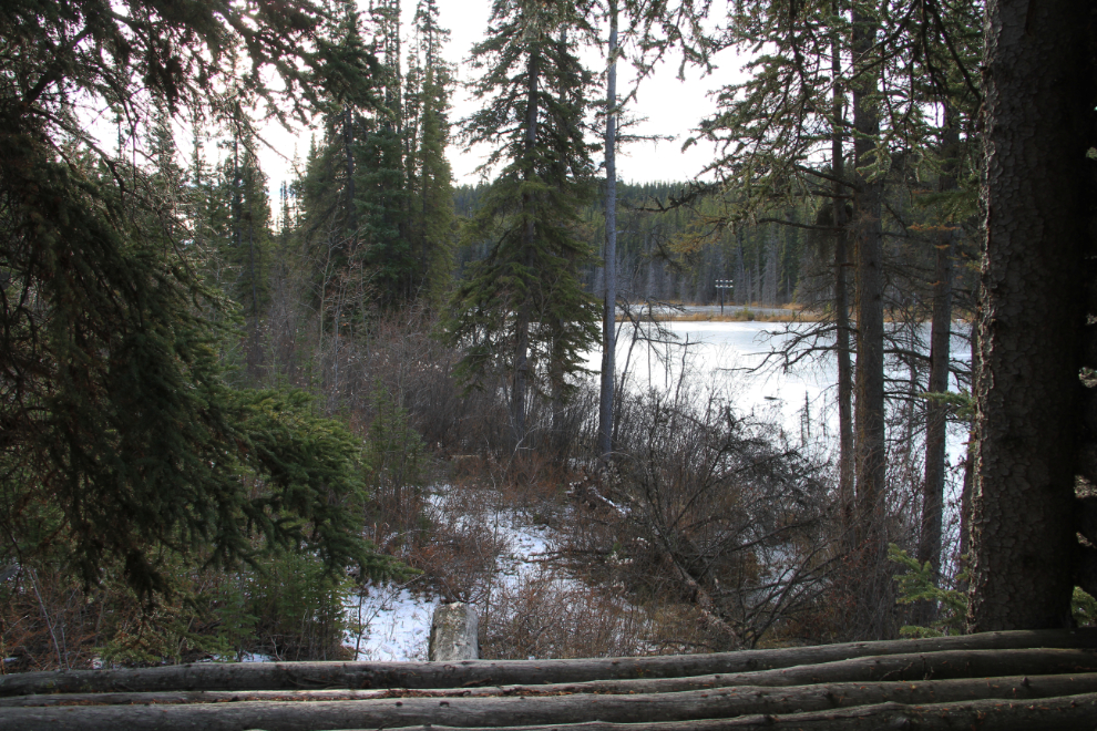
Not many people will ever see Murray Lake – it takes a 4×4 and a sense of adventure to reach the west side of the lake, and miles of walking to reach this spot on the eastern shore. This is the view to the south.
I picked the Mile 97 marker as my turn-around spot, as I could see nothing of real interest ahead. This is the view to the north.
A few days ago, another historian, Helene Dobrowolsky, and I were chatting on Facebook about names to be known by. Michael Gates has taken “History Hunter” by virtue of a newspaper series and book by that name, Helene thought that “History Gatherer” would work nicely for her, and with a Hunter and a Gatherer in place I just couldn’t come up with one I liked. As my fur-buddy and I walked back to truck, I thought of one I really like – the “History Hound”. Or “Hounds”, as you see here. I’m always sniffing around old stuff – artifacts, paper or just stories – so it works perfectly. 🙂
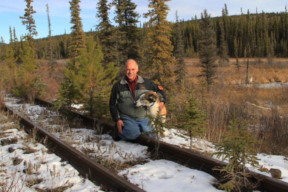
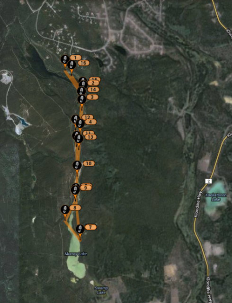
On my left arm in the photo above is Spot, hard at work keeping me safe. By the time I got home, this is the Web site of our route that Cathy (or anyone else) could have seen. It’s not always perfect, though – we were never at position #8, which I assume is an example of having poor satellite reception for a few minutes.
Back at the gravel spur, we took that detour. This is looking back to the south at a road-builder’s dream supply of post-glacial river gravel. The bank is perhaps 80 feet high.
The grade runs for almost a kilometer in railroad fashion (level, with very gentle curves) before turning into a wood-cutter’s road. The length makes me think that it may have been the planned route of the railway originally – perhaps the virtually unlimited supply of gravel alongside encouraged the engineers to go down the marshy middle of the valley instead and this route was abandoned. The purpose of the recent flagging tapes shown here isn’t known.
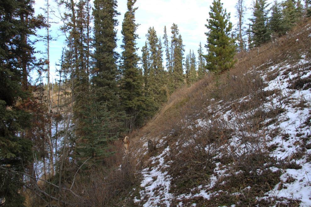
Almost back to Mary Lake. In the Yukon, south-facing slopes are the driest, and poplar trees and grasses are often the dominant vegetation instead of the spruce and pine which dominates otherwise.
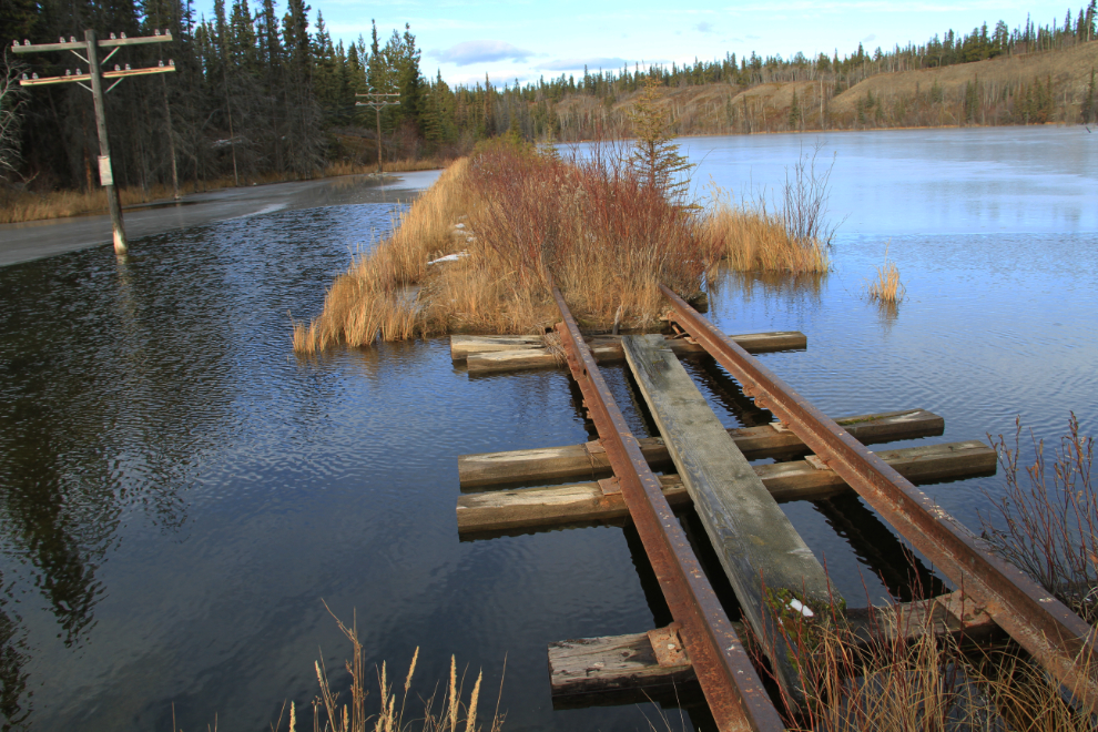
The rail crossing of what is now the Mary Lake narrows. Monty really didn’t want to go across that wooden plank, and although I would have liked to cross to look at the opposite slopes, I always let him make decisions like that.
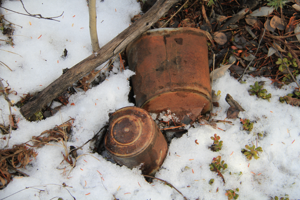
Having a closer look along what had been the railway spur that we reached the rail line on, I found these tin cans. The soldered bottoms confirm these as being from the construction period (sealing tin cans by soldering them ended in about 1905).
Climbing up onto a cache that had been built along the spur right-of-way gave me the closest approximation of the scene on the original playing card. It’s so close, but I was still not comfortable with calling it the right location.
It doesn’t show in the photo, but Monty is on the faint trail that we had followed 3 hours before to reach the rail line.
At this point we had walked about 9 km (just over 5 miles), and Monty was pooped. Only another half a k to go, buddy 🙂
It had been an excellent day, but I was a bit disappointed that I couldn’t confirm the location. Discussions that evening, though, did confirm that Mary Lake used to be called Ruth Lake, before there were homes out here (the acreage-subdivision we live in was developed in 1992). There was a summer bible camp then, and they somehow got the name changed, as Ruth in the Bible wasn’t a connection they were happy with.
Not really content with this result, though, Monty and I went down again on Thursday. See Finding Ruth Lake – the conclusion.