Finding Ruth Lake – the conclusion
In my last post, Monty and I had had an excellent day exploring along a long-abandoned section of the White Pass & Yukon Route railway, but I’d been unable to confirm the exact location of the scene on a century-old playing card showing “Ruth Lake”. On Thursday, my fur-buddy and I went for another hike along the rail line, with a different starting point.
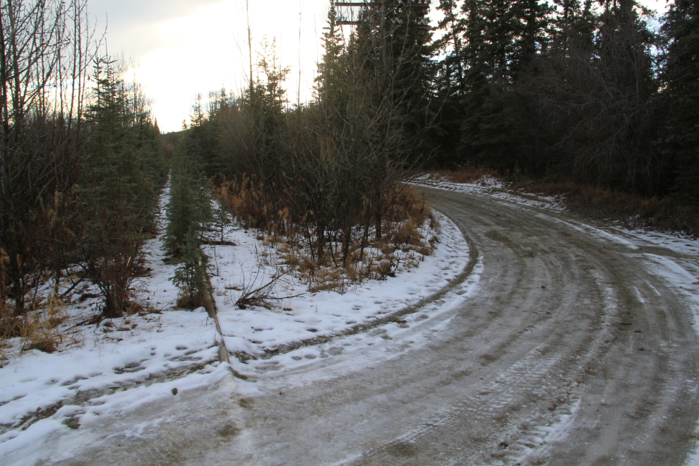
This spot on a road into some of the old copper mining claims behind our house, at about Mile 101 of the railway, was our starting point. The trees and bushes that have grown up on this section of the rail line were not only much thicker than where we’d been the previous day, they were icy-wet. It wasn’t long before my pants were soaked.
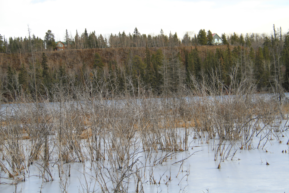
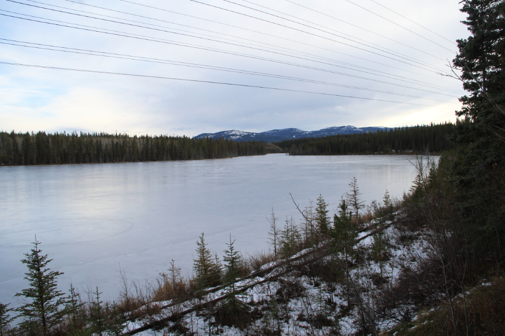
A handful of the 100 or so homes in the Mary Lake subdivision have great views over the lake. We’d actually lived there for a couple of years before ever going down to the lake – with no beach, it gets very little use.
Looking south-east along the line, with Mount Lorne in the distance.
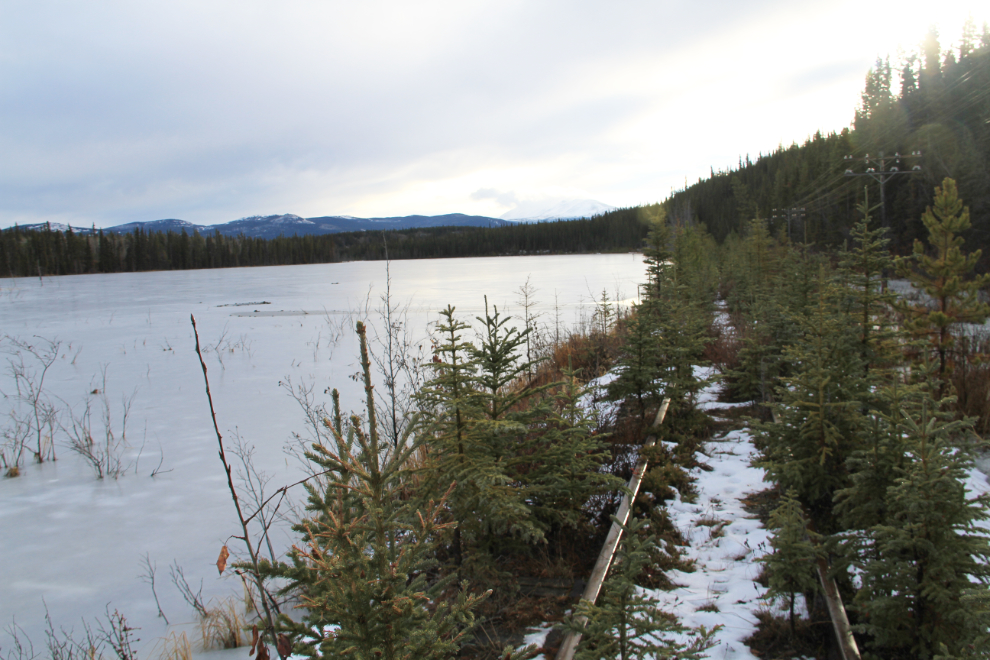
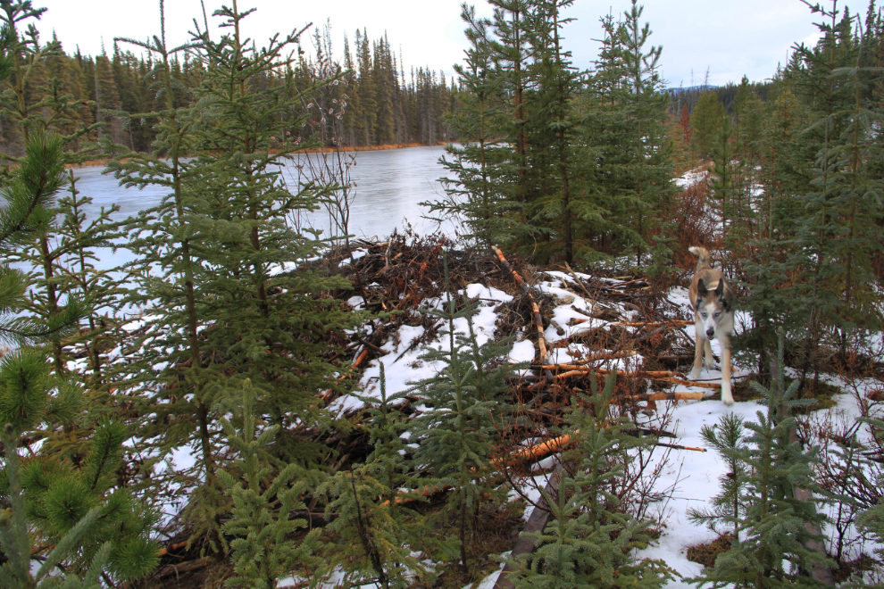
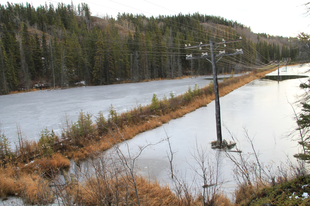
The lake’s ever-rising water levels due to beaver dam-building are eroding away the rail bed in a few spots.
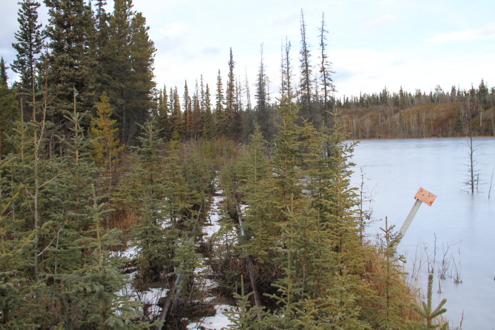
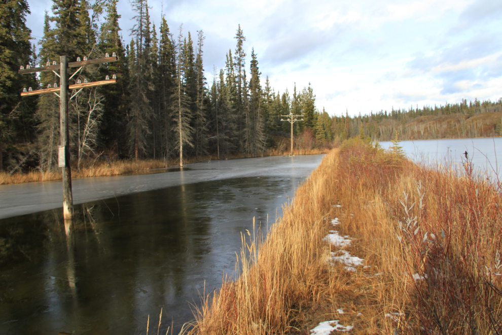
I climbed a bank to get this higher perspective. Note that the telegraph/telephone lines are still in place along this section.
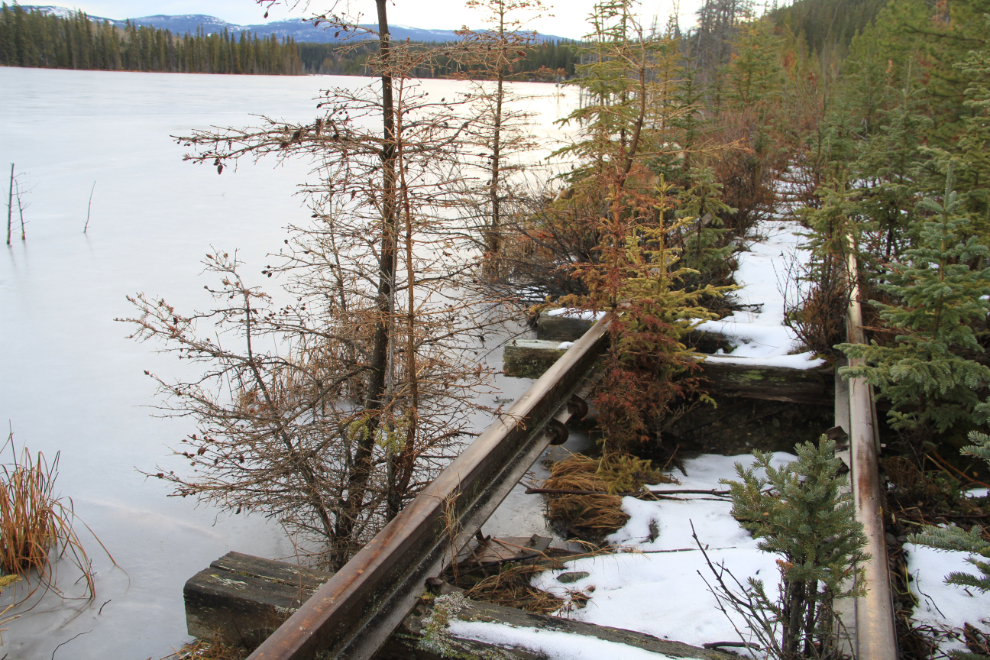
A couple of beaver lodges have been built right into the rail bed.
Looking north at the Mile 99 post.
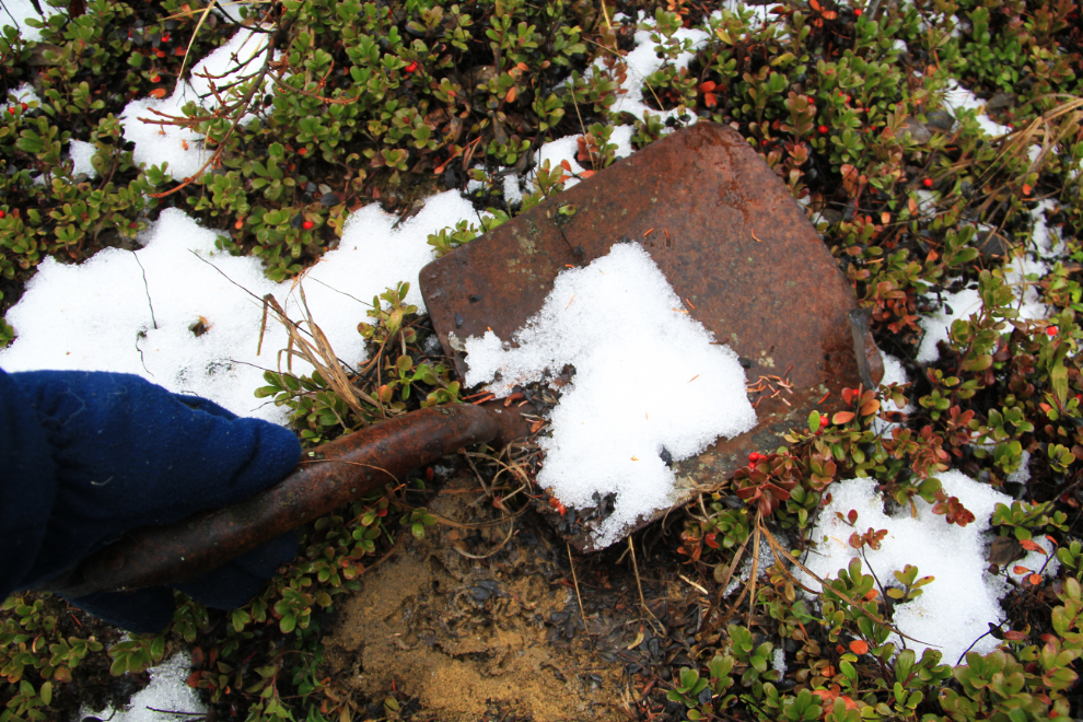
A level clearing above the rail line prompted me to walk up for a look around. There, I found this very well used shovel head, almost certainly from the original railway construction era. It’s stamped “BULLDOG2”.
been on the other side of the narrows. The open water in the distance is the location of the plank over a section of washed-out rail bed that Monty didn’t want to cross.
We walked down to the washed-out section again, and as Monty approached it he started crying. He would have gone across if I had insisted, but I didn’t. It was really a rocky bank hidden in the trees to the left that I wanted to explore.
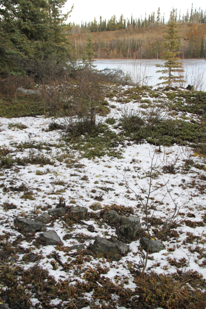
On top of that rocky outcropping is a beautiful campsite, with this decades-old campfire ring.
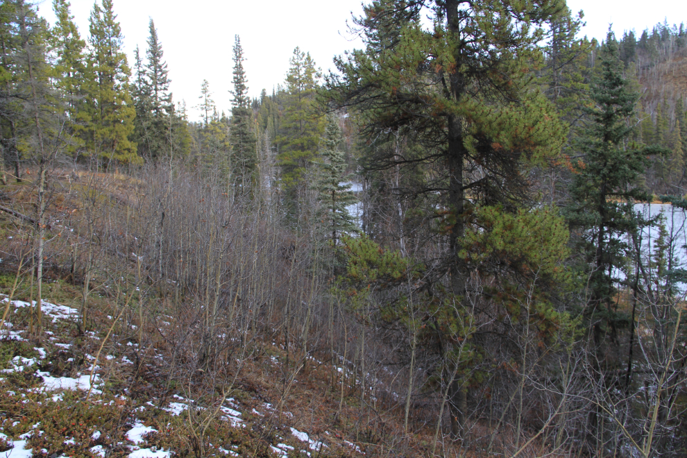
A couple of hundred meters from that campsite was what I needed to confirm the location of the playing-card photo that started this search. It doesn’t look like much in this photo, but the combination of the rocky bank and this dry section of hillside were the unique identifiers in the background of that photo. From the opposite side of the lake the previous day, this information was hidden by trees 🙂
Thoroughly pleased now (and thoroughly soaked), we made a fairly quick return to the truck. There, we met a fellow who has lived out in the bush along the lake for decades – he added some “colour” to the story about the lake’s name change from “Ruth” to “Mary” in the 1980s. It’s a long story that I’ll tell you about when I add some documentation to it.