Exploring some World War II history – a pipeline and an airstrip
This post has been sitting in my “to-do” file for a few months, but it was such a fun afternoon I couldn’t just delete it. The outing happened on October 15, 2020, but I’m just posting it on February 10, 2021.
A friend and I headed east on the Alaska Highway with two primary goals – checking out the site of a Canol pipeline pumping station from World War II, and an airstrip of that same vintage. Beyond that, the afternoon included a few things that caught our attention.
We didn’t leave my house until about 1:30, and half an hour later made a brief stop along Marsh Lake because it’s so unusual to see it dead calm.
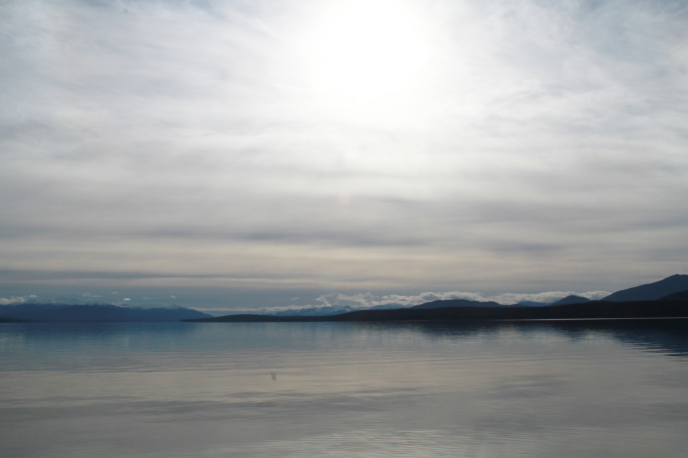
Clouds were rapidly moving in, which is what you see in the photo above, but we managed to get a few photos in the sunshine there as well. This would be the way the afternoon went, with heavy cloud and sunshine alternating back and forth.

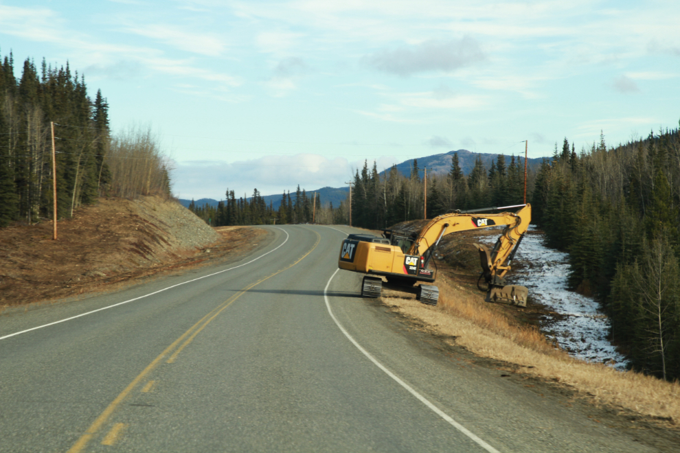
Further along the highway, a particularly heavy-duty lawn mower was cleaning up the brush and trees that were encroaching.
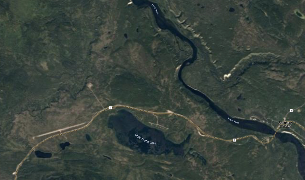
Historic Mile 855, now Km 1323.9. This was the site of Pump Station “W” on the Canol pipeline which brought oil from Norman Wells to a refinery in Whitehorse. A 1945 Road Log of the Alaska Military Highway that I posted many years ago alerted me to its presence.

Here’s a look at the area from Google Earth – see an interactive map here.
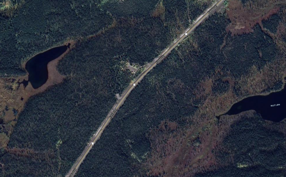
Well, we tramped through the bush and along trails for a while, but had no luck finding any sign of a pump station. I needed to conserve what energy I had for more productive pursuits, so I’ll go back and try again next summer.
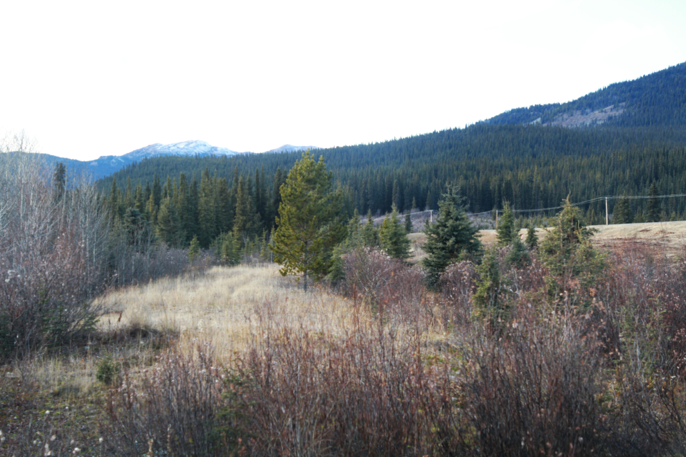
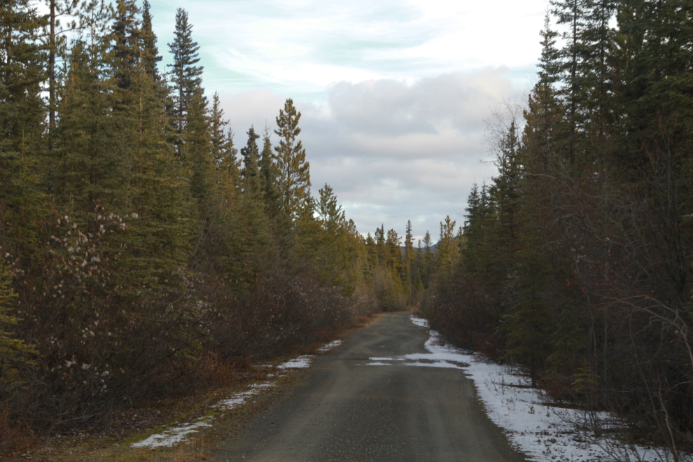
This section of the original Alaska Highway is just east of Squanga Lake. It’s not very long, but leads to some lovely spots, so it’s one of my favourite pieces of the original road. Some day, I’ll map all the abandoned sections of that road. Some day… 🙂
A short but steep walk took us to this small lake, and once again the sun came out to enhance the experience. The burnt remains of an old camp of some sort litter a small area above the lake where we parked.

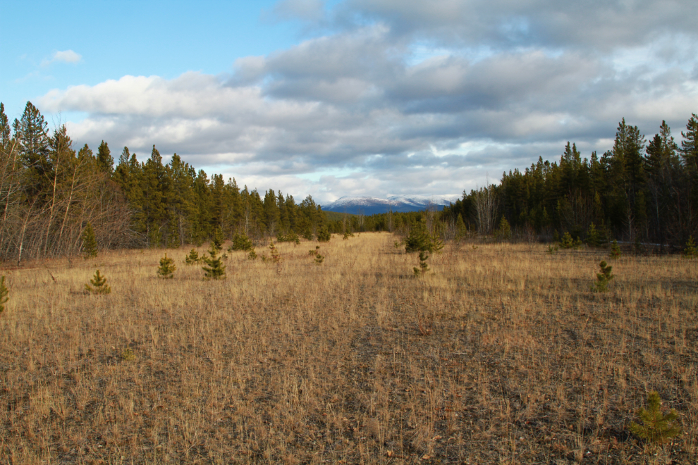
Our next stop was at Historic Milepost 843, now Kilometer 1305.3. This was “Flight strip No. 6” during World War II, later called the Squanga Lake flight strip, though it’s 12 km from Squanga Lake. This airstrip, built for emergencies, is at an elevation of 802 meters (2,630 feet). It has a 6,000-foot gravel runway, 150 feet wide, though with trees growing up, the useable area is much less now. The first photo looks northeast down Runway 04.
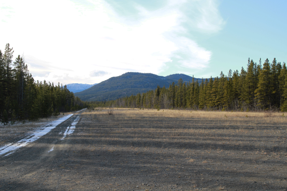
This is looking southwest down Runway 22.
A look at the airstrip and area from Google Earth – see an interactive map here.
There are scattered remains of some small buildings along the southern side of the airstrip.
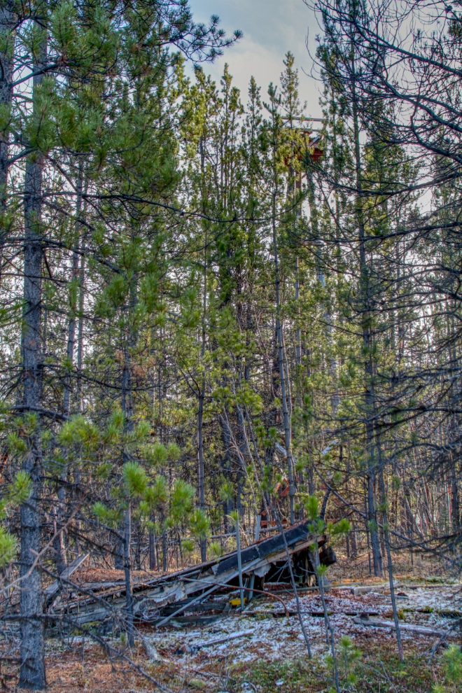
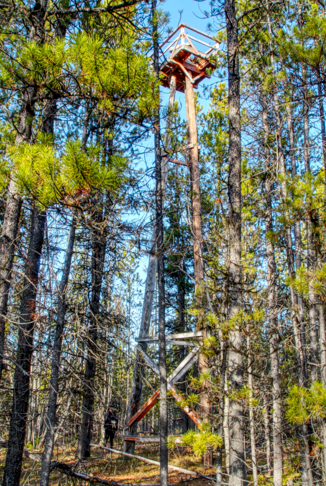
The gem at Flight strip No. 6 is the tower, whose exact use is up for debate. I think it was a “control tower” at times, with a rotating beacon at all times. The steel-pin ladder to reach the top was suitable for agile young men only!
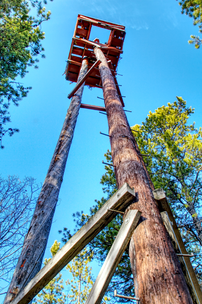
The tower really fascinates me, and I need to do a lot more research to find out its function – its various functions, more likely.
Large birds – apparently ospreys originally, but seems to be bald eagles now – have taken over the top of the tower to build a nest, which is about 5 feet in diameter.

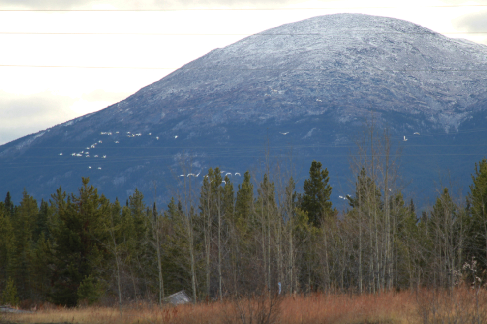
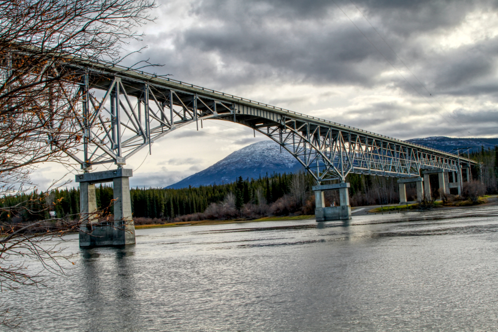
Continuing east, our next stop was under the Teslin River Bridge, which is the third longest on the Alaska Highway at 539 meters (1,770 feet). We thought there might be some migrating swans on the river there (it’s a very popular stop for them, both Spring and Fal), but no luck.


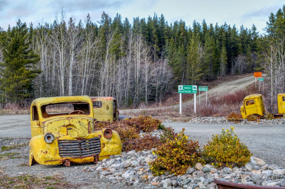
Our final stop was the the Canol Road rest area, just beyond the east end of the Teslin River Bridge. As we arrived, a large number of swans went by on their way south.
I stop at this rest area often. I love the old trucks, of course, but the Canol Road also draws me. I’ve spent a fair bit of time exploring along it but would like to do much more.
By 4:00 I was getting pretty tired and it was time to start back towards home, but first we drove down under the bridge on the east bank of the river for another look.
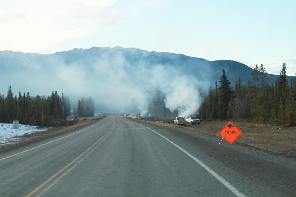
Just before reaching Squanga Lake, another crew was cleaning up along the highway, this time burning brush.
My friend dropped me off at home just before 6:00. It hadn’t been a long day, but it had been excellent. The airstrip was a major discovery for me, and proved that there is so much more to see close to home.