Back to Kluane Lake for 4 days – Part 1
I’d been itching to get back on the road but things kept getting in the way – projects at home, wildfires, lousy weather, and on and on. On Wednesday, July 24th, though, things finally lined up to go one direction at least – west to Kluane Lake and hopefully Beaver Creek again, to re-do the trip that got wrecked by the Snag wildfire 3 weeks ago.
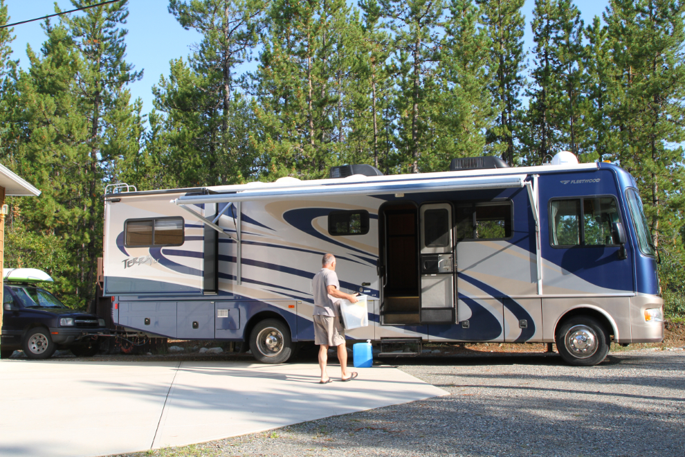
I got my shopping and some of the loading of the motohome done on Wednesday evening, then finished Thursday morning. Just before 11:00, I locked up the house and set the alarm, and headed towards the Alaska Highway.
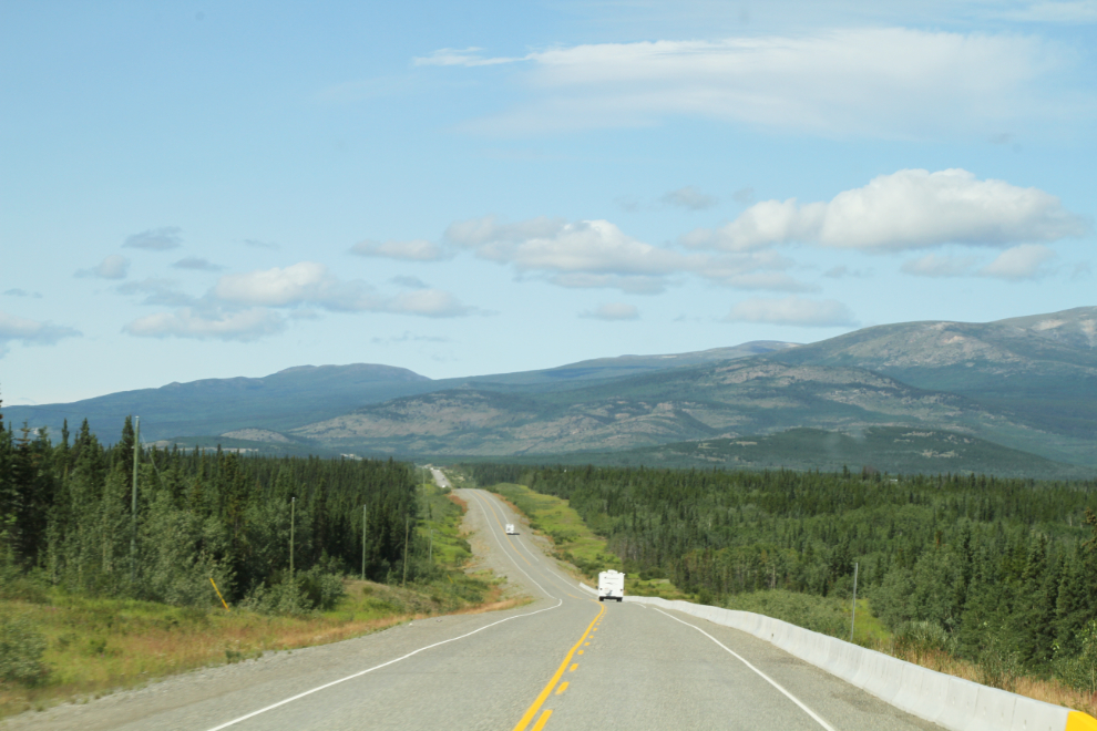
Once you leave the Whitehorse city limits, the wilderness arrives quickly. By 11:30, homes were few and far between.
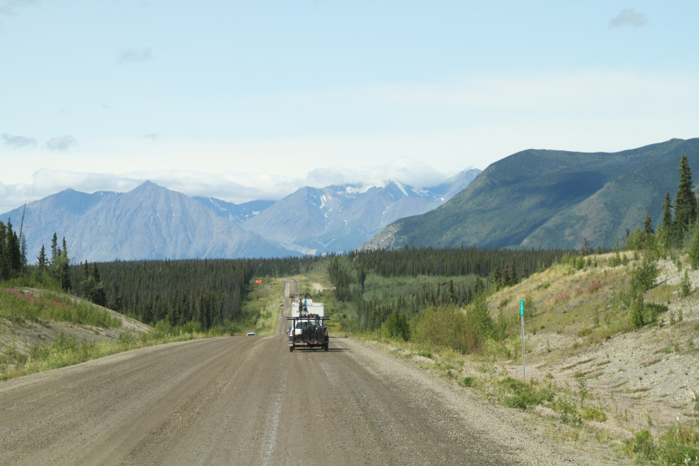
At 12:30, as we neared Haines Junction, there was a short delay for a pilot-car-led transit through a section of construction on the highway.
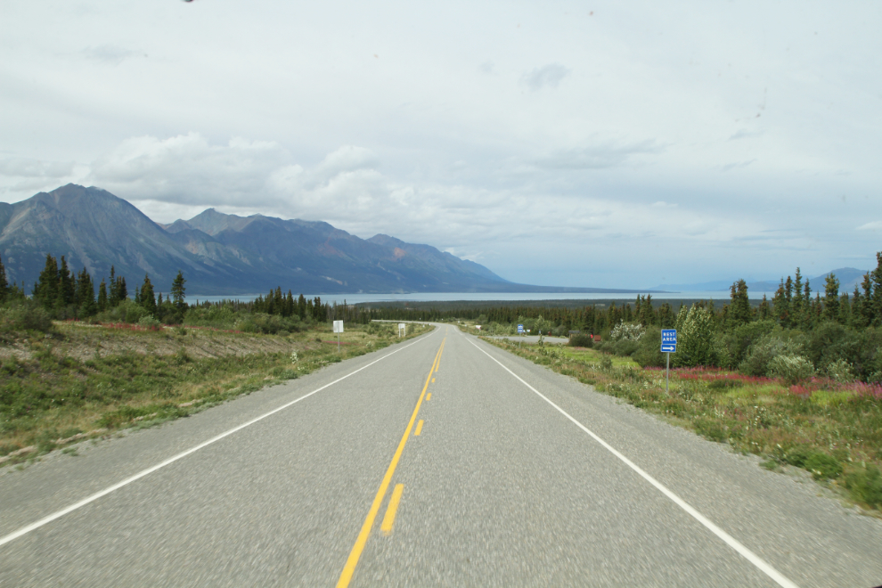
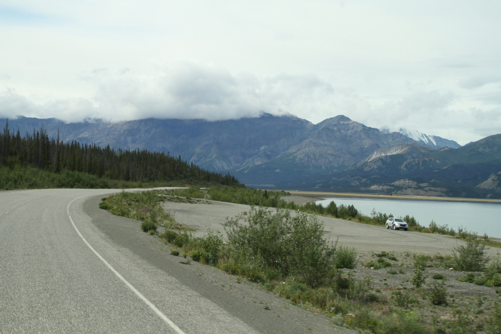
At 1:25, Kluane Lake was just ahead.
At 1:30 we reached the pullout at Km 1642.1 where I planned to spend 4 nights. I was very pleased to see no other RVs there yet. I used to always go to Congdon Creek Campground when we came to Kluane, but we’d often drive back here because it’s a much nicer beach, for the dogs especially. I finally decided to just park here.
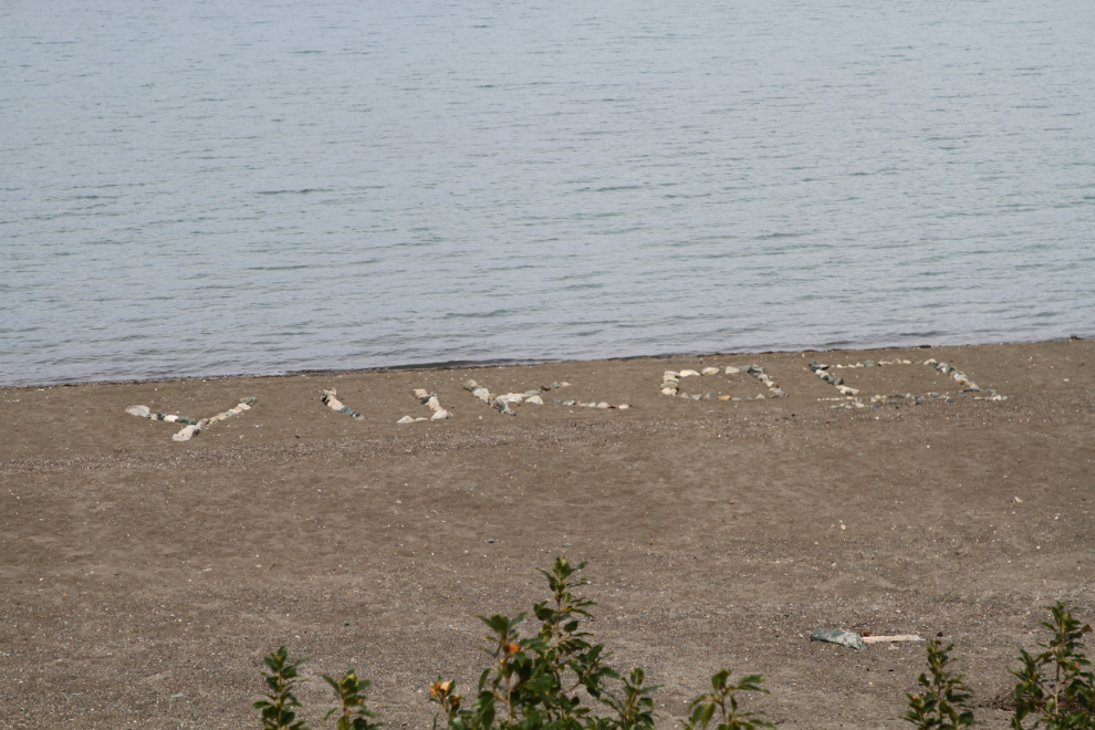
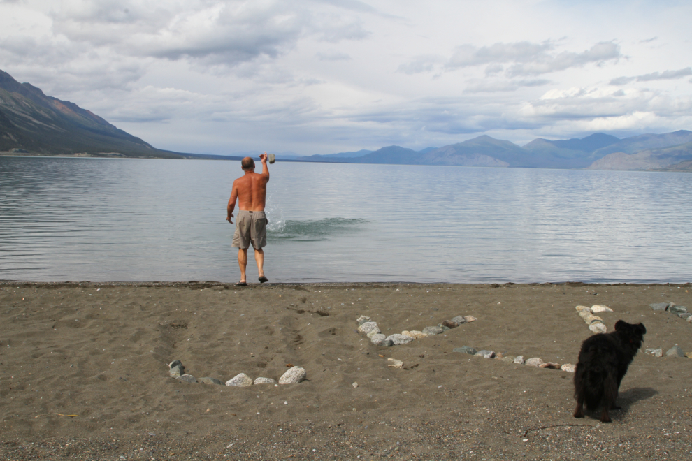
Well, what the hell! Someone had built a large “Yukon 2019” on the beach in front of the pullout. It was only really clear from an elevation, so I expect it was someone with drone. They’d gathered up rocks with a truck and then drove it onto the beach to build their grafitti.
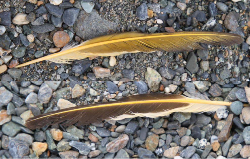
I was soon set up for our stay, and then it was beach time for Bella and Tucker. While we were wallking and playing, I found this wonderful feather (the photo is edited to show both sides). I don’t yet know what sort of bird it’s from.
Then I needed to clean up the mess that was defacing my beach. The larger rocks got carried to a rock pile down the beach a bit…
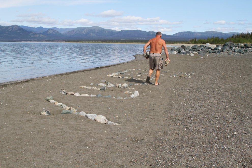
…and some smaller rocks got thrown as far into the lake as I coud get them. Soon, the beach again looked the way Mother Nature intended it to look.
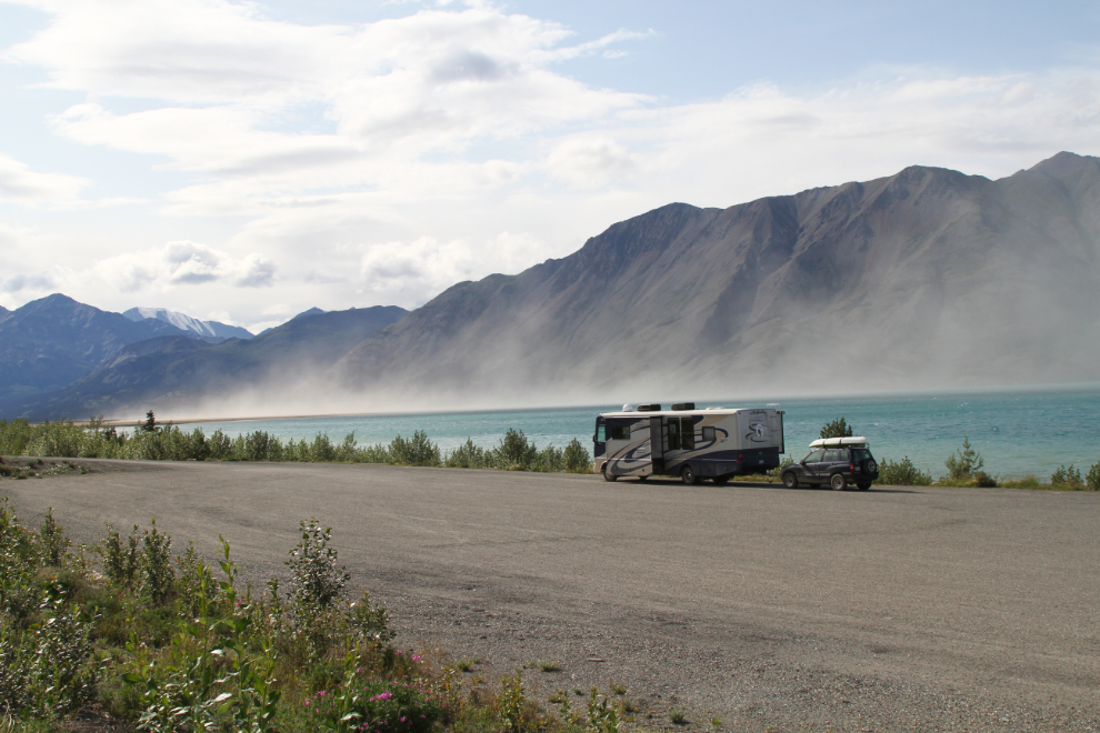
We had a lovely calm afternoon, but around 4:00 a wind started down the valley, and it was soon causing a dust stom on the flats. As usual, the wind barely affected our rather protected beach.
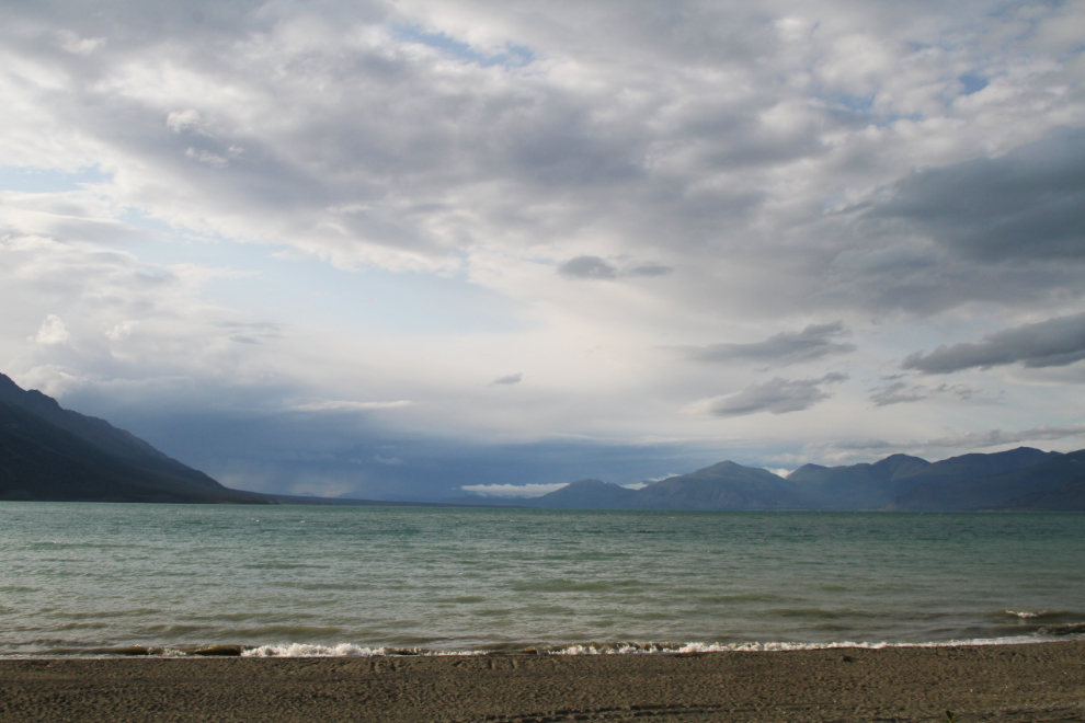
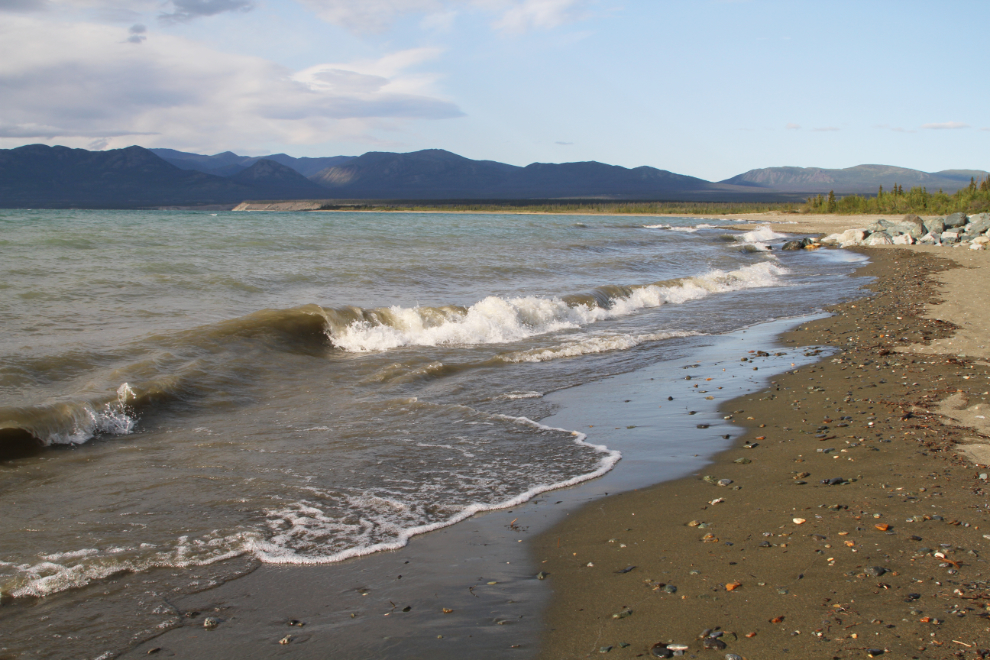
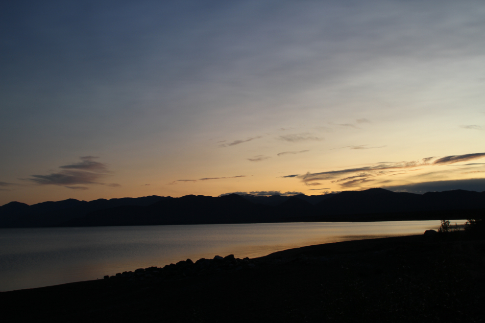
When I shot the next 2 photos at 7:40, a storm towards the far end of the 81-kilometer-long lake (50 miles) was raising some good surf at our end.
I listened to the calming sound of the waves most of the night, but dawn on Friday was lovely. I shot the next photo at 05:40. It was chilly, though – 7°C – and I turned the furnace on for a few minutes.
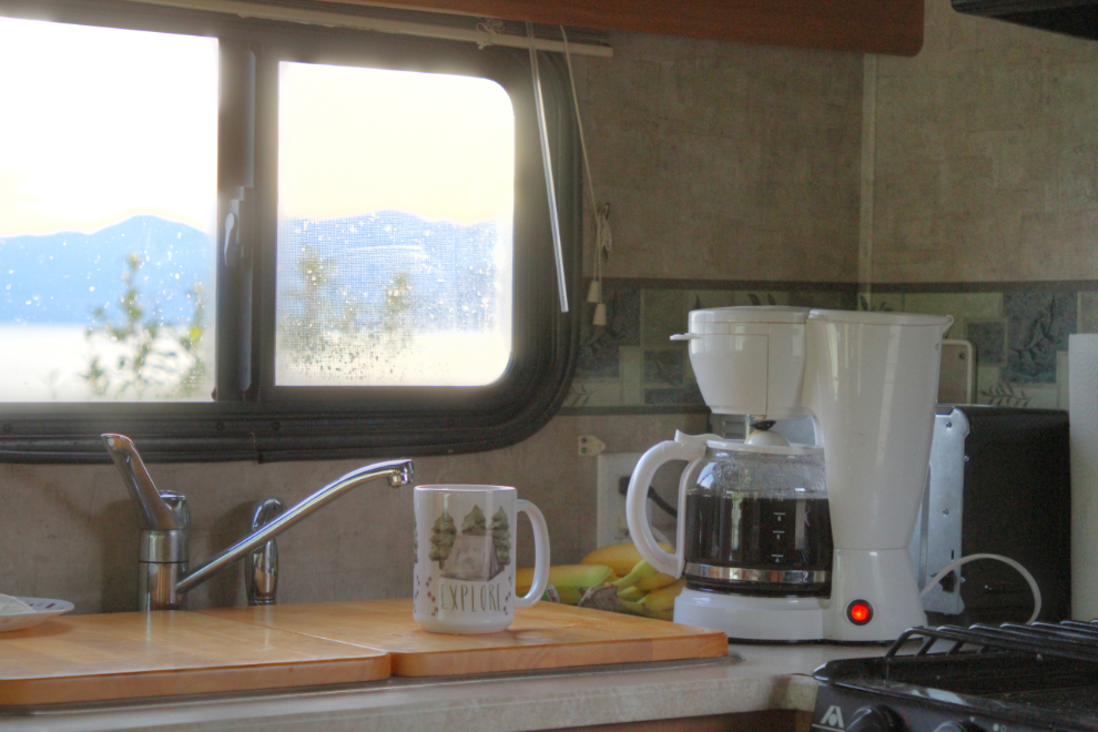
Ah, I love motorhome mornings. Silence, beauty, the kids all happy and sleeping close by – and coffee 🙂 I actually wrecked the silence for a few minutes to brew that big pot – usually I just make it with a percolator on the propane stove.
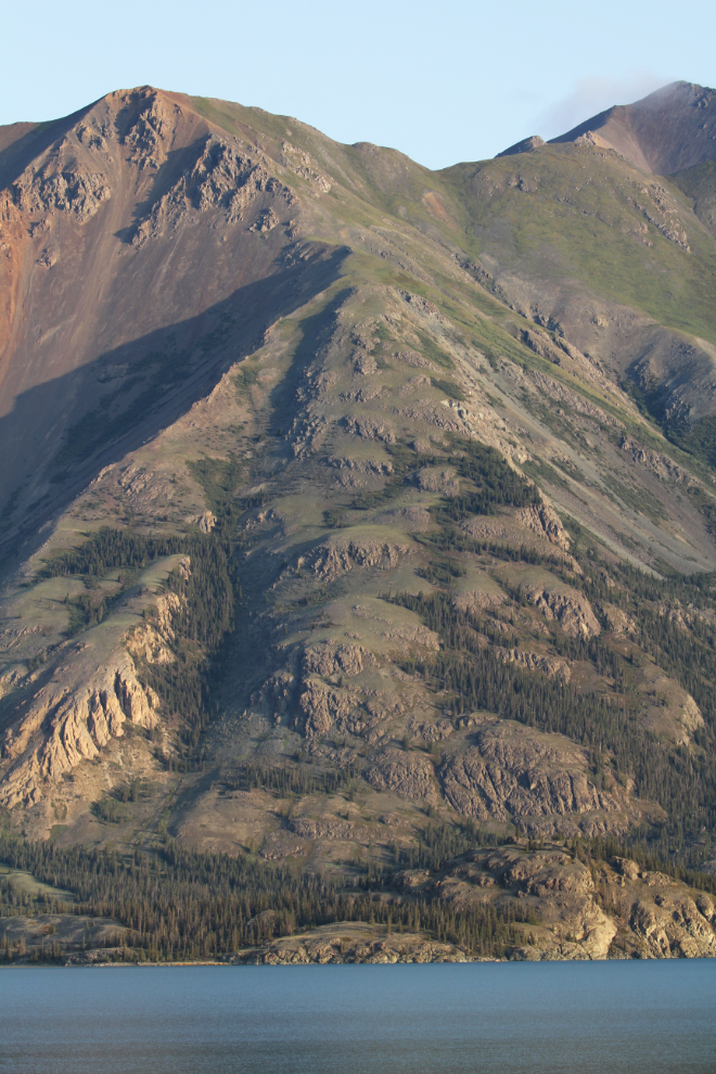
The morning light was wonderful, and around 7:00 I spent a while shooting the infinite patterns and textures around us. In the next photo, Fish Heart Island blends into the slopes of Sheep Mountain, and the Alaska Highway which runs along there is pretty much invisible.
The Slims River Bridge can be seen at the bottom of the next photo.
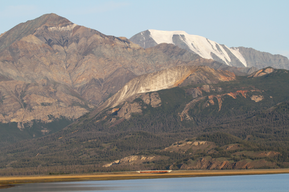
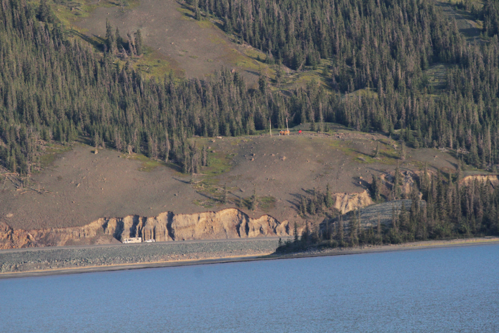
Shooting at 400mm, the Soldiers Summit historic site can be seen above the Alaska Highway.
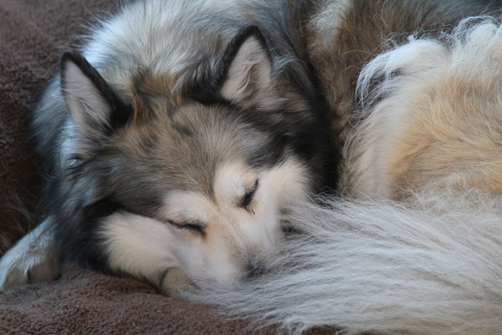
An after-breakfast nap is often on the agenda on RV days 🙂
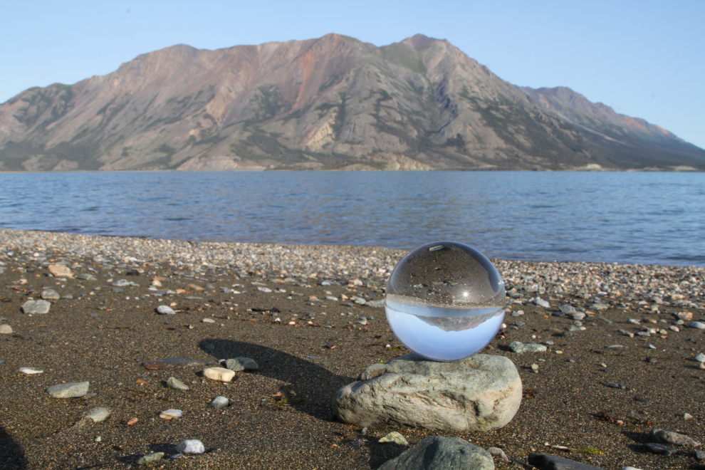
Back on the beach with the kids after their nap, I got some creative shooting done as well as ball-playing.
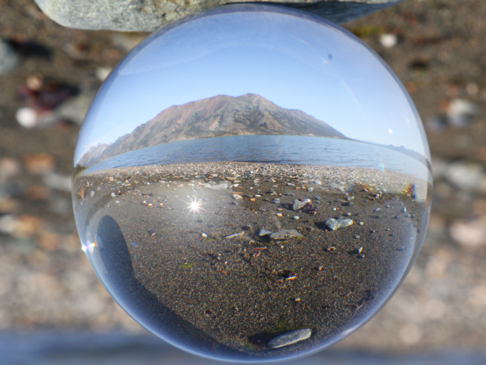
It’s a Lensball that caught that photo above. I don’t use it a lot, but it is fun sometimes.
Then, I had a busy day planned before Cathy’s arrival Friday night – in the next post, I’ll tell you about our walks.