Exploring the WP&YR rail line north from Spirit Lake
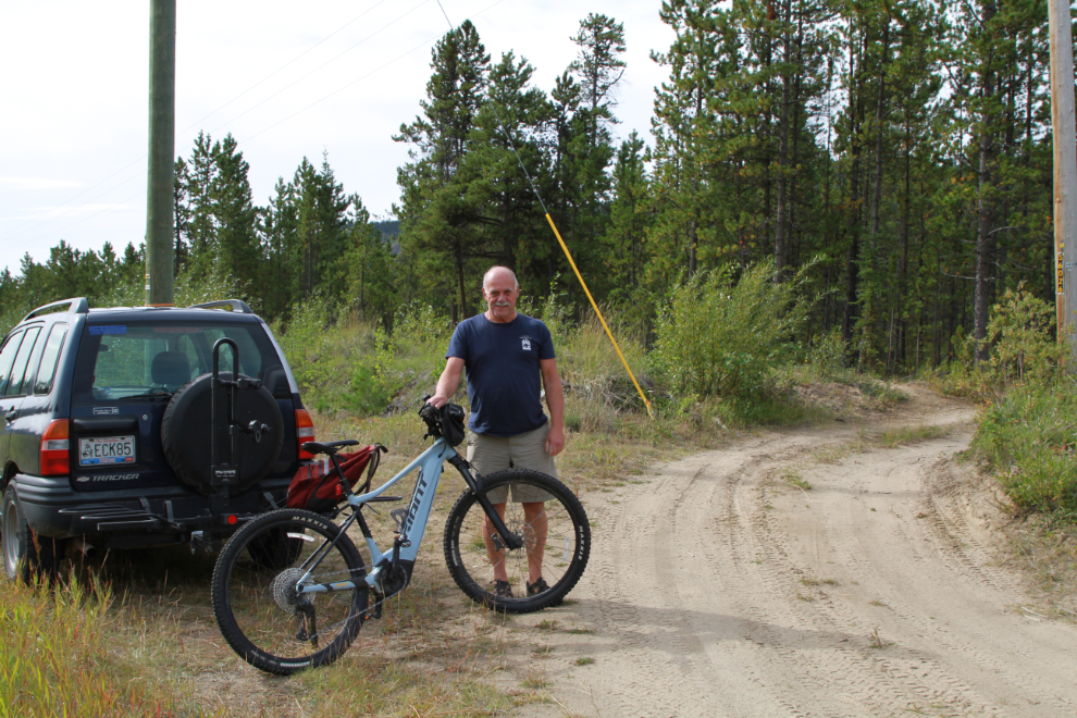
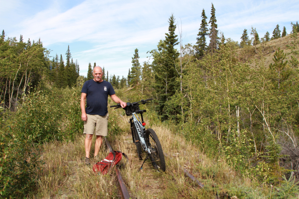
On August 11th I walked from near Spirit Lake Lodge to Watson River Falls, and that showed me that it would be worthwhile to bring the e-bike down to explore along the the long-abandoned White Pass & Yukon Route rail line, which we walked along the reach the falls. On August 17th, I loaded the bike and headed down the South Klondike Highway.
By 12:30 I had parked the Tracker on the side of the highway across from the lodge and was about ready to start.
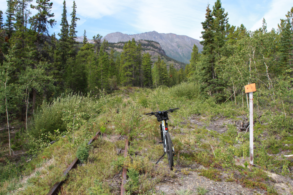
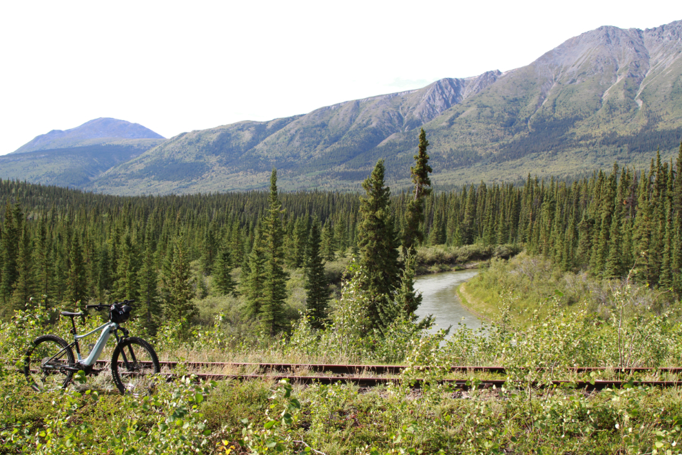
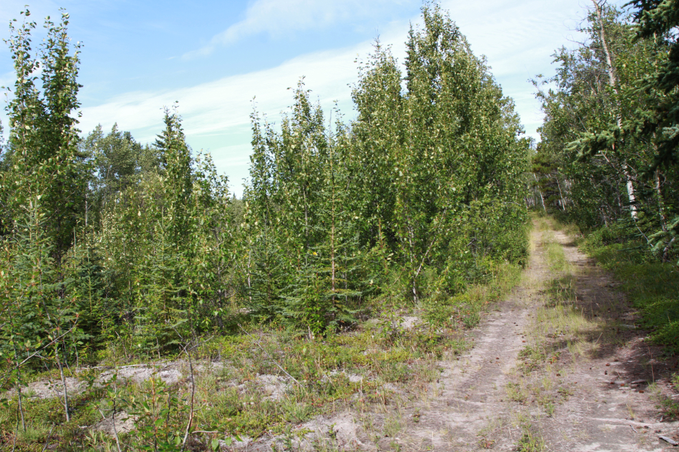
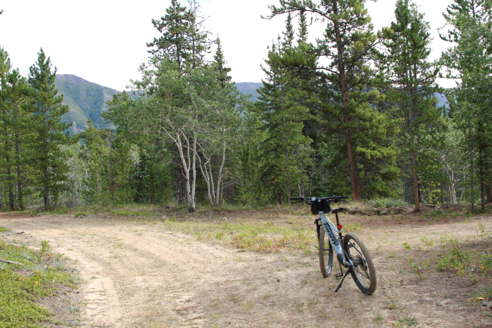
Six minutes later I was at the railway line, at Mile 73.9, reached by a good dirt road that I drove up when we walked to the falls. The bike is facing south but I went the other direction – the MP 74 sign can just barely be seen in the distance.
MP 74 – 74 miles from the start of the White Pass & Yukon Route railway in Skagway, Alaska.
The numbering on many of the mileposts is barely legible, on some it’s not visible at all. The north sides, which get less sun, are normally the best side to try to read.
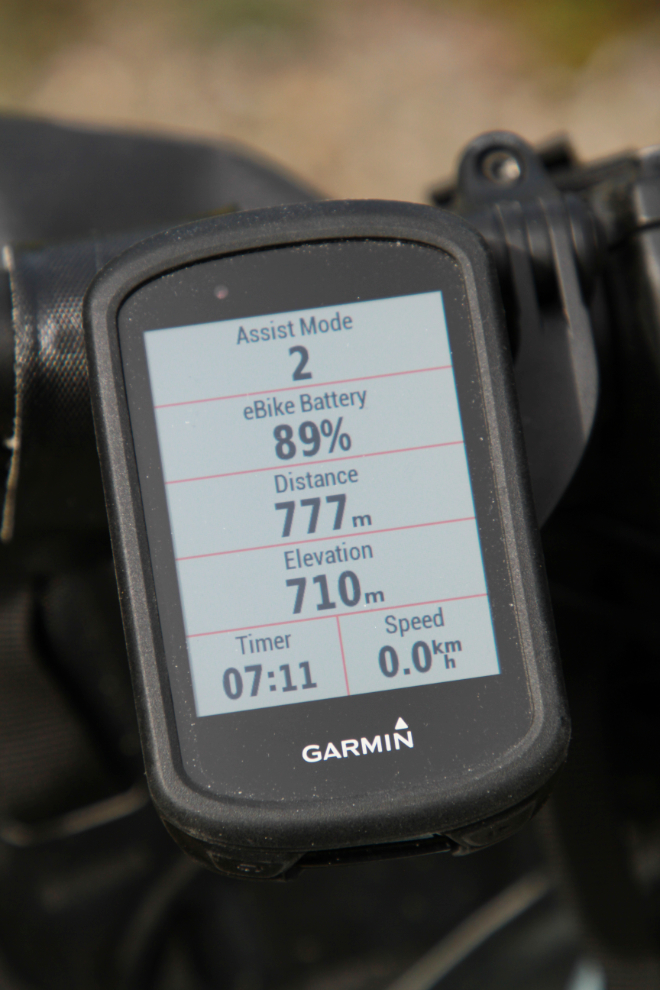
I started the bike’s trip computer – a Garmin Edge 830 – as I left the car, but the readings at MP 74 were my baseline for the ride as far as recording the railway’s history.
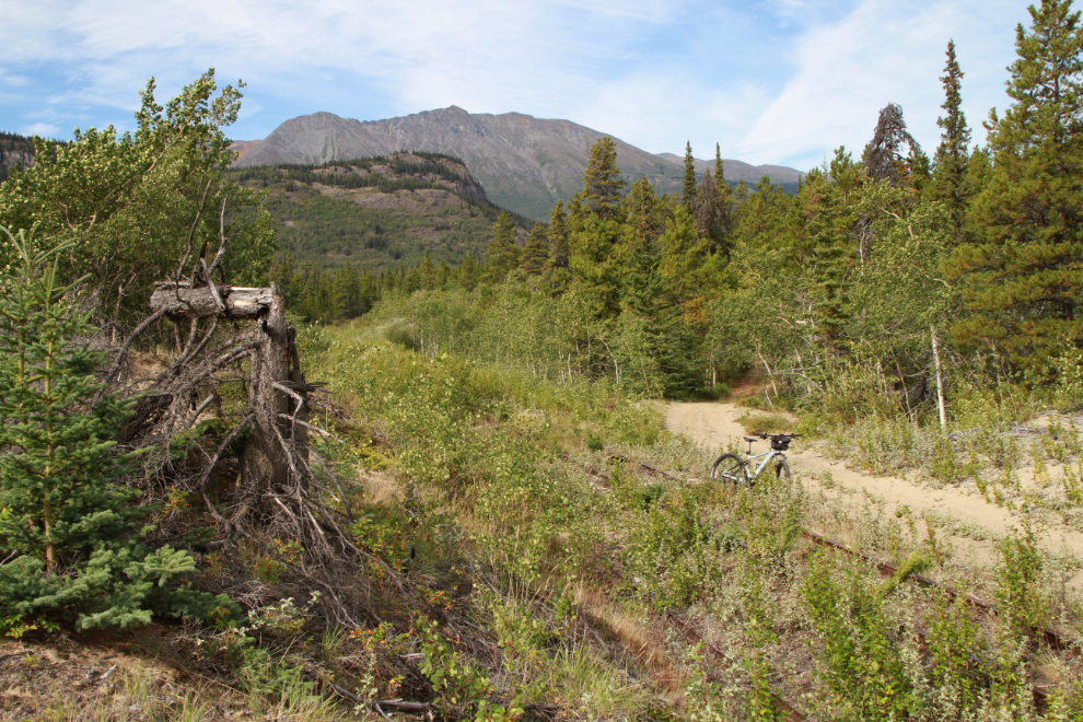
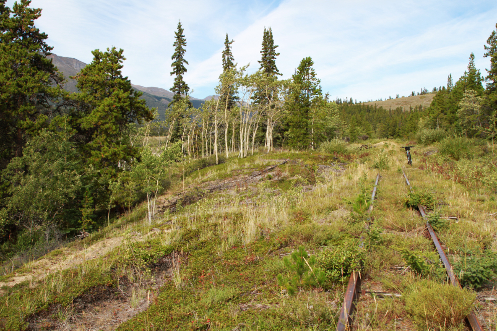
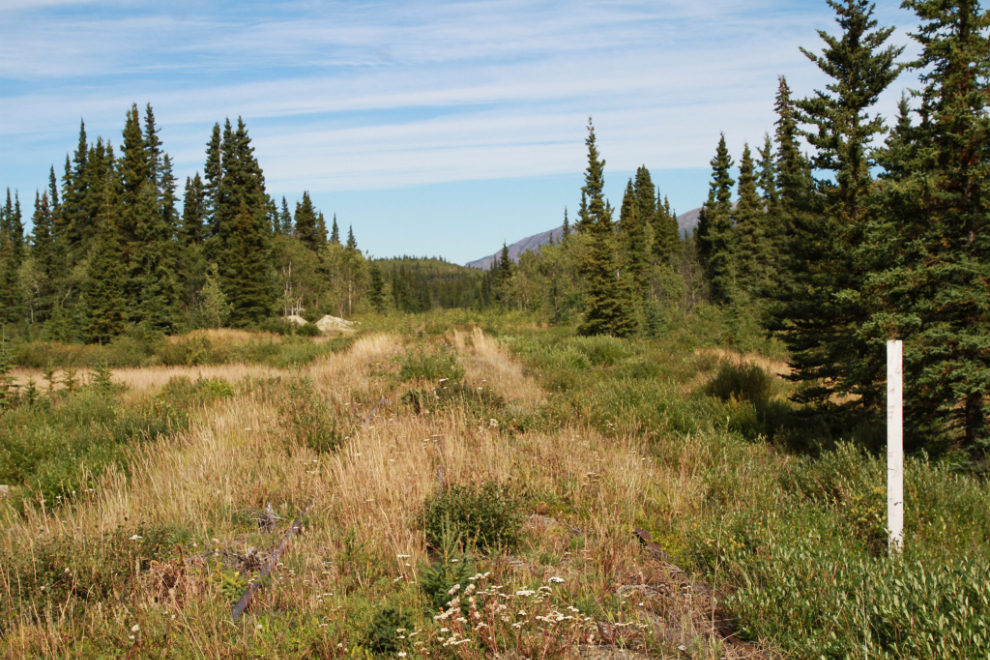
This really is lovely country to ride in – not as dramatic as many places I go, but extremely pleasant.
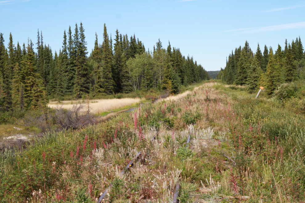
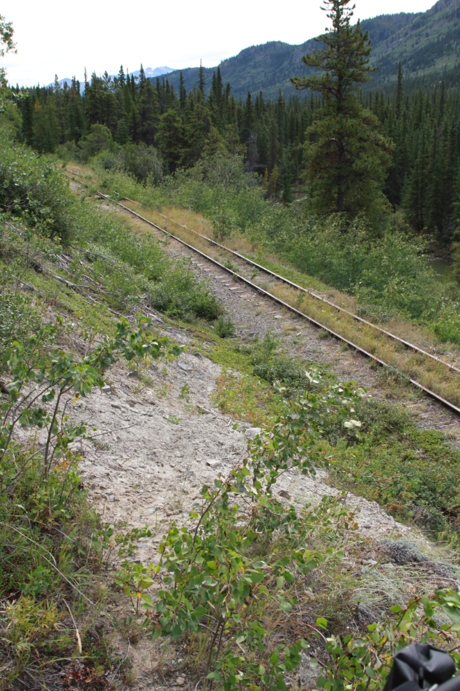
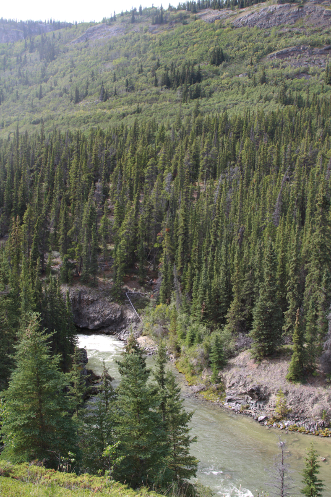
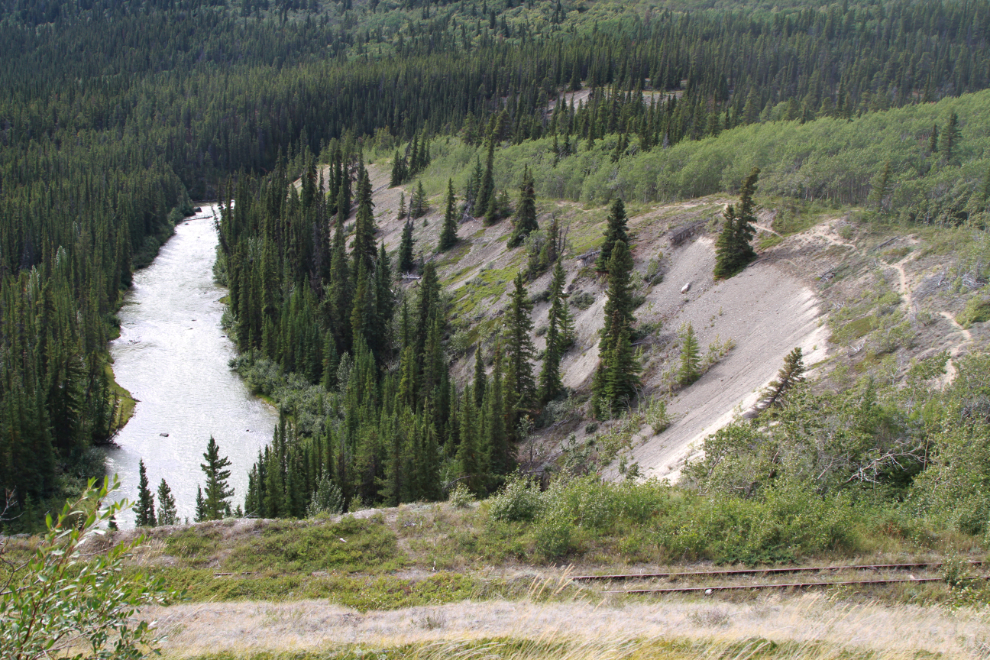
At 12:49 – 20 minutes from the car – the rail line was running along the edge of the deep Watson River valley just below the upper canyon.
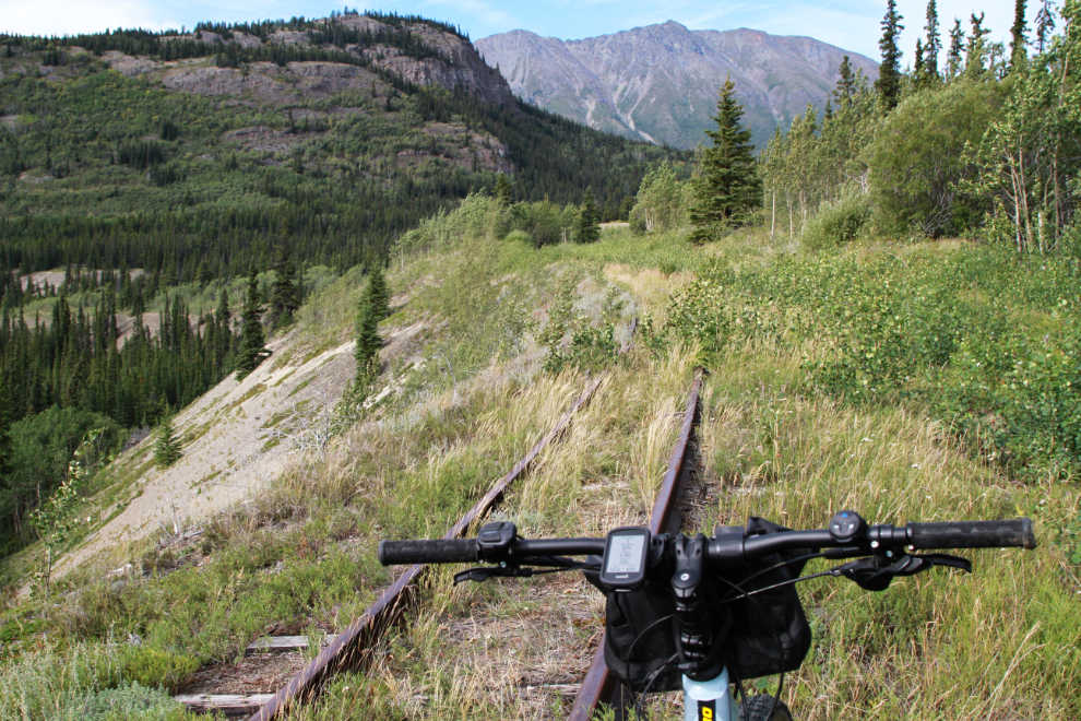
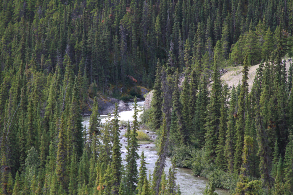
That section of the line afforded a brief view of Watson River Falls. My plan was to go back down there on the return ride.
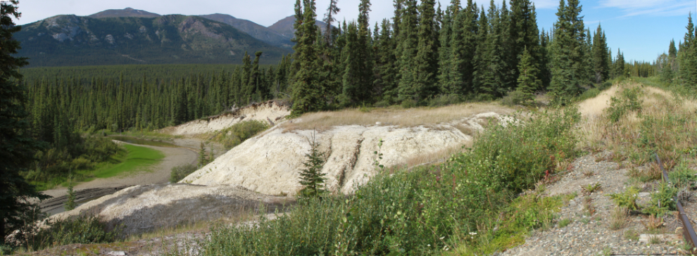
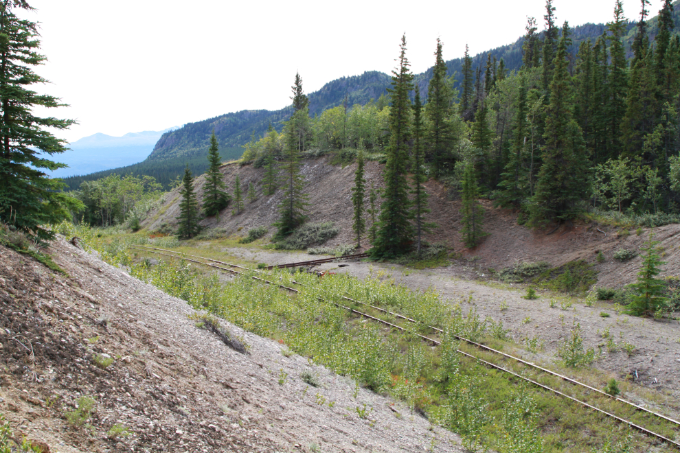
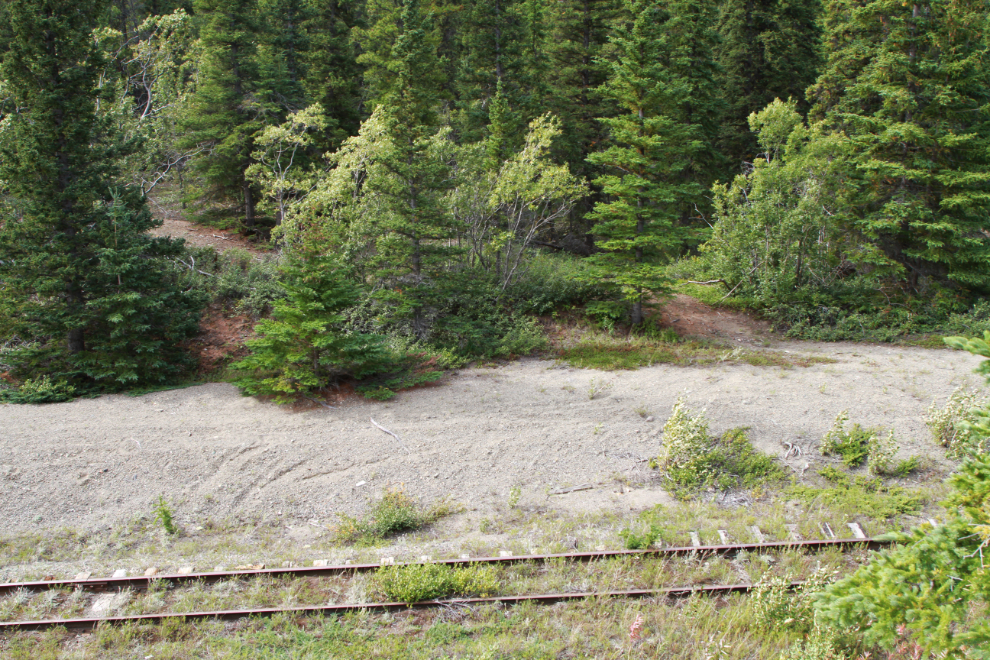
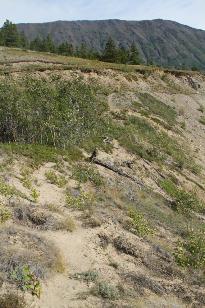
In the age of large power equipment, the deep fill I was standing on, and the deep cut ahead, are no big deal. But these were done by hand 123 years ago, making them very impressive, though it would have been easy compared to what they had dealt with through the White Pass.
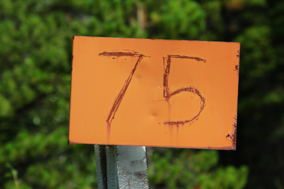
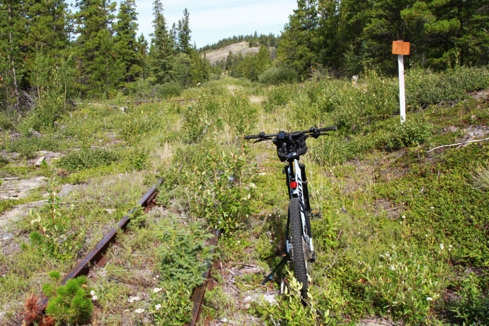
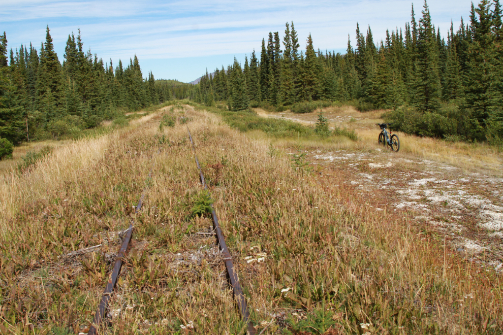
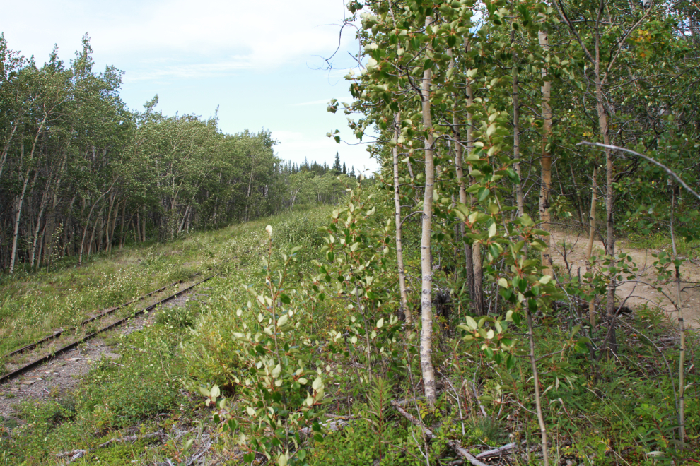
Somebody has scratched the “75” back on the MP 75 sign. It was reached 1,573 meters from MP 74 – that’s 5,161 feet, so 119 feet sooner than expected 🙂 The ride to this point was quite good, with most of the line rideable on the gravel beside the ties.
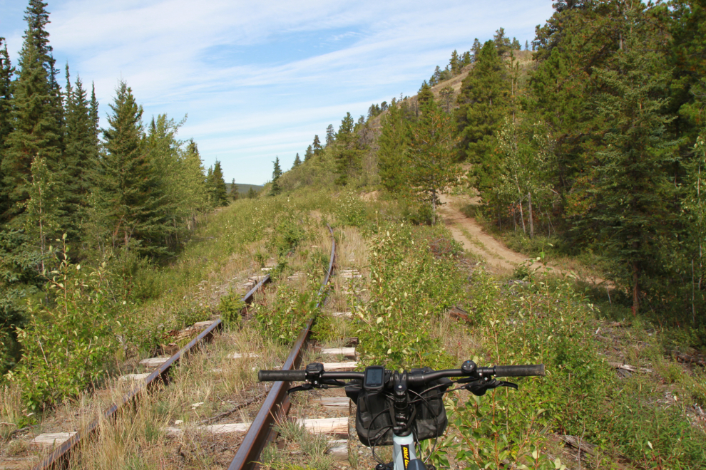
About 500 meters further along, the dirt road that runs alongside the rail line climbs steeply away to avoid a rocky knoll. The road was probably built during World War II to construct and service the Skagway extension of the CANOL pipeline system.
Looking over the Watson River from the section below the rocky knoll.
Battered but legible, the sign at MP 76 was reached 42 minutes after leaving the car.
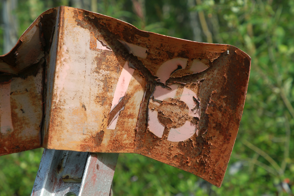
Just north of MP 76 I decided to take a break from the rail line, which was getting quite overgrown, and moved over to the much more comfortable road.
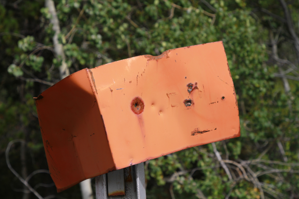
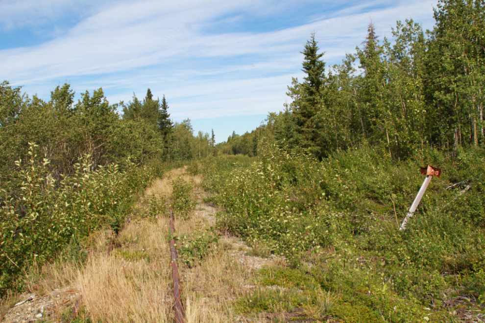
The sign on the post at MP 77 has been “collected” and I expect is on somebody’s rec room or garage wall.
The view north at Mile 77.2.
At Mile 77.8 the railway meets a side channel of the meandering Watson River, as you can see in this panoramic shot.
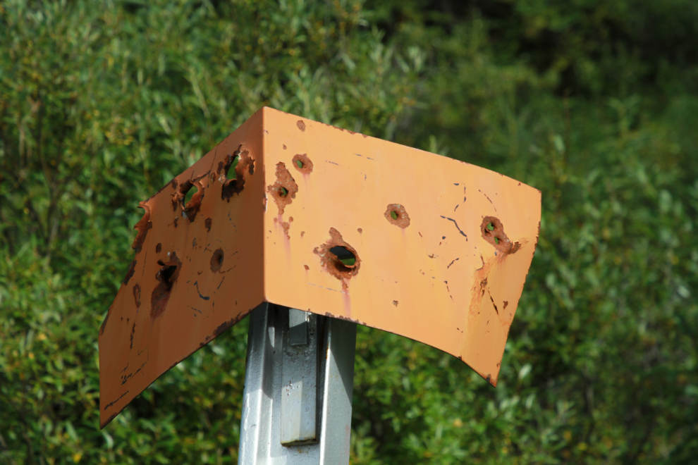
Still legible on the north side, the sign at MP 78 has been used as a shooting target 🙁
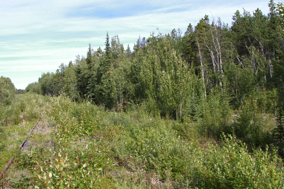
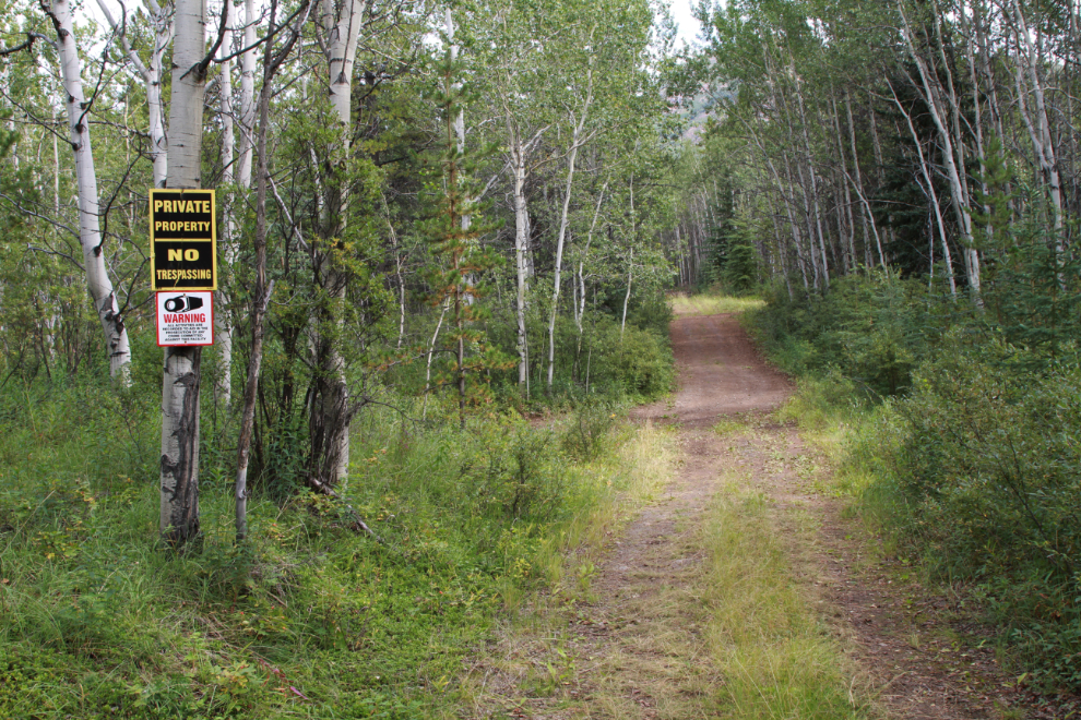
At Mile 78 it was now 1:35 pm and I decided that was enough exploring for the day. I headed south on the road. Five minutes back there was a road coming in from the highway side (from the left side in the next photo), and I decided to have a look to see if there was highway access for future exploring.
Not surprisingly, the road soon came to private property. Oh well, it was a pleasant ride.
Looking back to the north at 1:55.
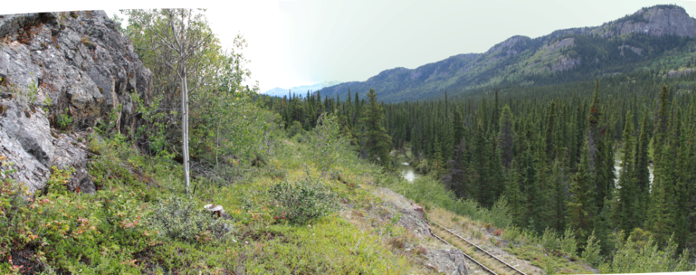
At the rocky knoll, I took neither the railway nor the road – the route of the telegraph/telephone line appeared to be more interesting and scenic than either. You can see the stub of one of the poles near the tree to the left in the next panoramic photo – the line was removed perhaps 15 years ago.
That route is well enough used that there’s sort of a trail back down to the rail line.
Back at the deep cut I mentioned just before reaching MP 75…
…I noticed a well-used trail that needed to be explored 🙂
This was my reward for taking that trail – a lovely, ancient, log cabin.
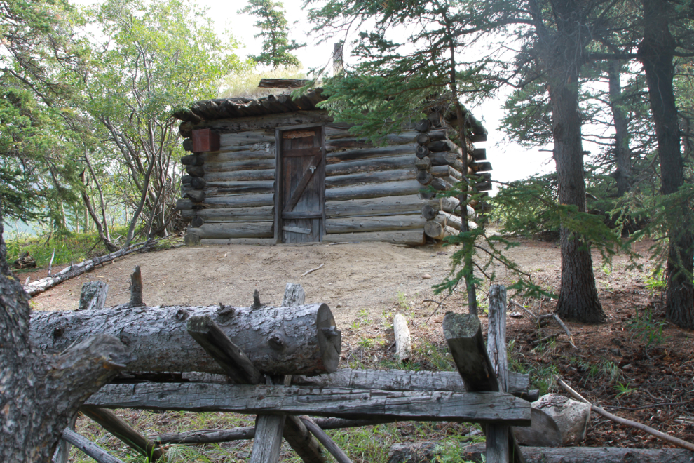
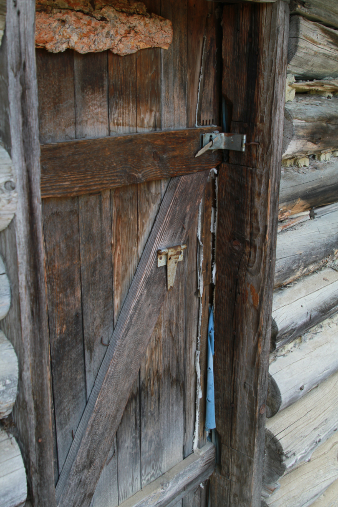
Unlocked of course – it seems to get fairly regular use.
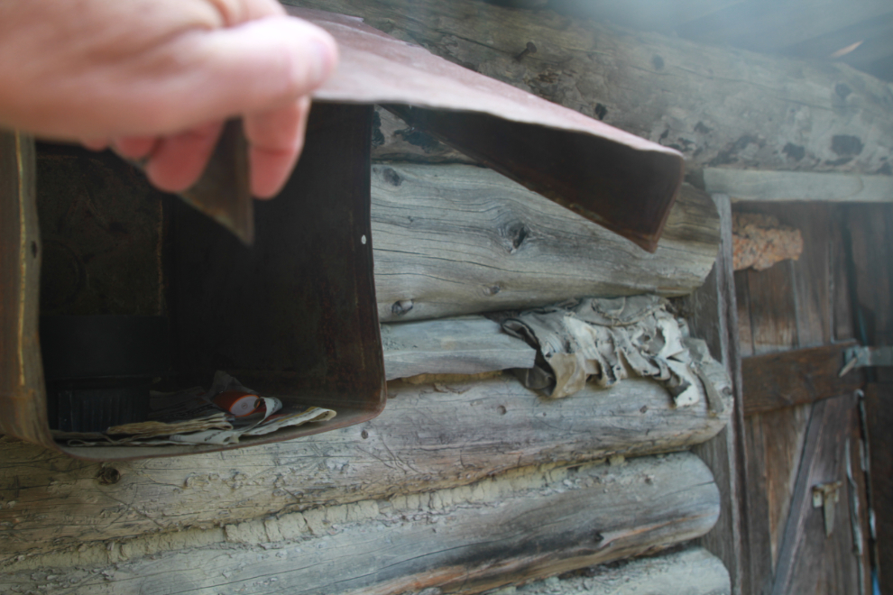
There’s firewood out front, and newspaper and a lighter beside the door. A wonderful Yukon welcome to passers-by.
The pile of leaded-sealed tin cans out front dates the cabin well – it almost certainly was built during the Watson River placer gold rush of the summer of 1906. Although the main rush was to the headwaters of the Watson, this article in The Weekly Star of July 27, 1906, says: “The entire country has been staked…” and “The country is full of prospectors…”
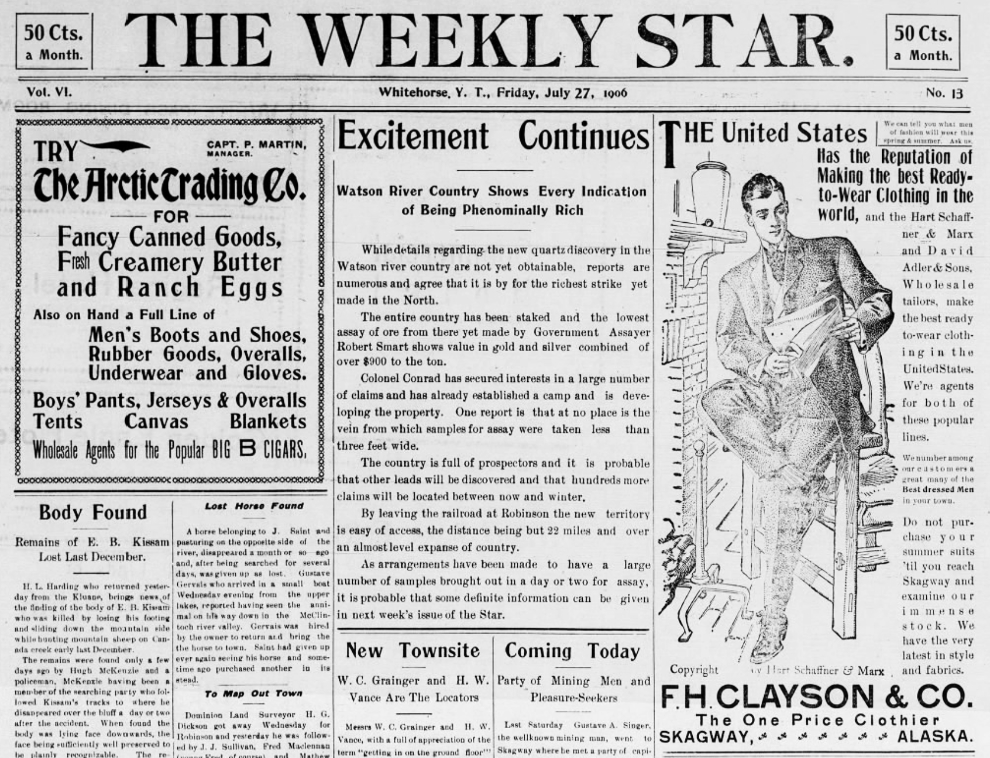
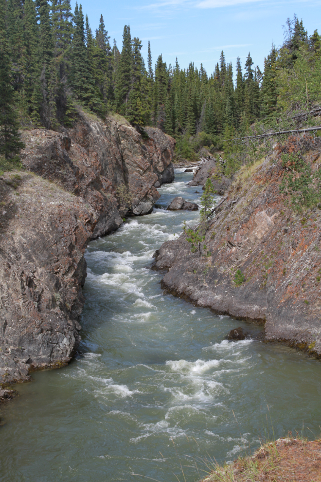
The cabin is located high above the head of the Watson River canyon, on the lee side of the ridge. It’s quite an odd location for serious mining but great for a “lifestyle miner,” of which there were many in those days (prospecting for fun rather than with any real intent to strike it rich). It’s quite a drop to the canyon.
The Watson River canyon up close.
I was very tired, and getting down the very steep slope to the waterfall was a challenge, but I really wanted to see it again.
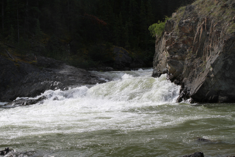
One of the reasons I wanted to see it again was so I could shoot a video of it.
At 2:44 I was on the trail we had walked in on August 11th, nearing the railway.
I backtracked a couple of hundred meters and got back on the road that climbs high above the railway. This is the view from up there.
That was the last photo I shot, probably indicating that I was exhausted. You can see my ride record with map at https://www.trailforks.com/ridelog/view/42766998/.
I’ve been pecking away at this off and on for 13 hours now and I see I got a little carried away – there are 38 photos. Sorry (no, not really 🙂 ). I hope you’ve enjoyed coming along with me.
great ride, good adventure. I sure do like the looks of that part of the Yukon. That old cabin was cool and you have to wonder where the builder was mining or getting his water even…(down the steep embankment for water). That e-bike sure has been a boon to your days a-field. One of the RR pics shows a 90 degree siding, extremely short in length…one other recent blog post noted it was for automobiles… (I think)… how did that work (RR wheels like current service trucks?)
I’ve just found a few comments that were made weeks ago that I never replied to. Sorry – the process of writing a post often leaves me flat for days. The location of the cabin makes me sure that while the owner may have been dabbling with mining, he wasn’t very serious at it – the cabin location was a lifestyle choice.
The 90-degree sidings were/are for motorcars, often called speeders or Caseys, used by track inspection and maintenance crews. They were manhandled onto the sidings with long bars. See https://en.wikipedia.org/wiki/Railroad_speeder
Beautiful trip and mucho thanks for that amigo, say hi to Tagish Elvis for this fan if you have a sighting 🍻
Thanks, Paul. I haven’t seen Elvis in many years. He was in Ross River but I haven’t even heard his name in a long time.