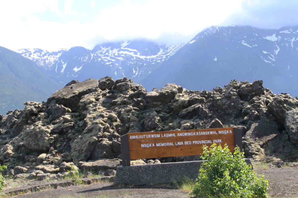
Visiting Nisga’a Memorial Lava Bed Provincial Park
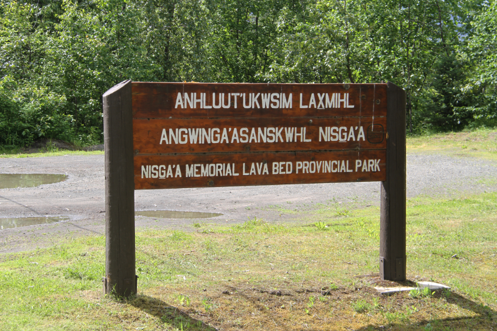
Leaving Gitlaxt’aamiks (New Aiyansh) at 4:00 pm on Day 57 of the trip, June 21, we began a driving tour of Nisga’a Memorial Lava Bed Provincial Park, which is actually called Anhluut’ukwsim Laxmihl Angwinga’asanskwhl Nisga’a. See a park map (pdf, 198 Kb).
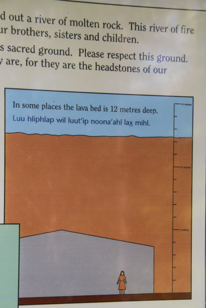
It was and has been extremely difficult to find out about the source of the lava that we’d come to see. Now that I’m home and can research, I’ve found an old Natural Resources Canada report that says that the eruption of the Aiyansh-Tseax River volcano in 1780 is the only eruption in Canada for which legends of First Nations people have been verified. Other sources give widely varying dates for the eruption. The Nisga’a tell of a prolonged period of disruption by the volcano that destroyed the village of Lax Ksiluux on the Nass River, and killed some 2,000 people, from hot lava or “poisonous smoke” (carbon dioxide). The people were killed at Lax Ksiluux, at the villages of Ts’oohl Ts’ap and Lax Hli Wil Giist, and at other places in the valley. The Tseax Cone, 290 meters in diameter at the base, is located in the narrow confines of a tributary of the Tseax River, and is currently only accessible on guided tours. Natural Resources Canada says that the vent was active at least twice, in 1780 and 1350, and remnants of other, older lava flows exist in the area. The park was created in April 1992 to honour the dead and to preserve the unique region.
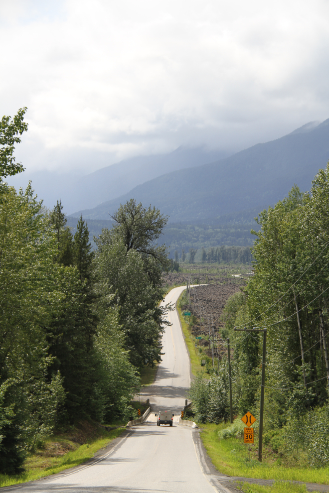
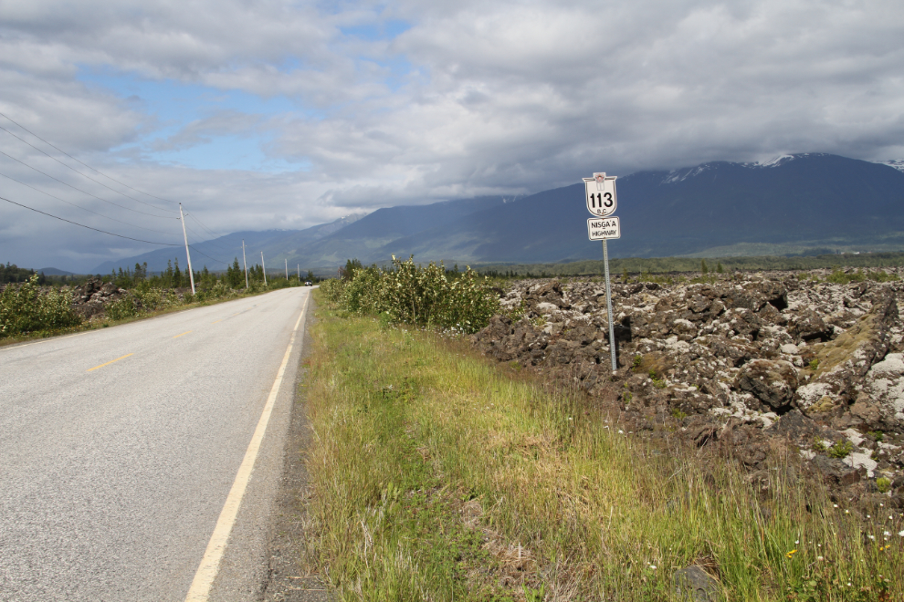
Dropping down to the park from Gitlaxt’aamiks on BC Highway 113, the Nisga’a Highway. I had left Bella and Tucker in the motorhome while I went into Gitlaxt’aamiks, so the first part of the tour was solo.
At the one-lane Tseax River bridge seen above, the park boundary sign.
I had picked up a park Auto Tour brochure, and that was my guide for this tour. The brochure says that the tour can be done in any order, so #8, the Tseax River (Ksi Sii Aks) was our first stop.
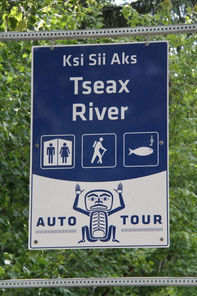
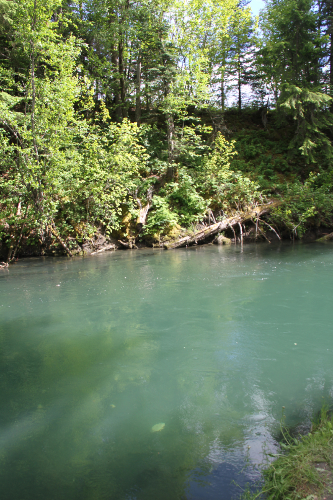
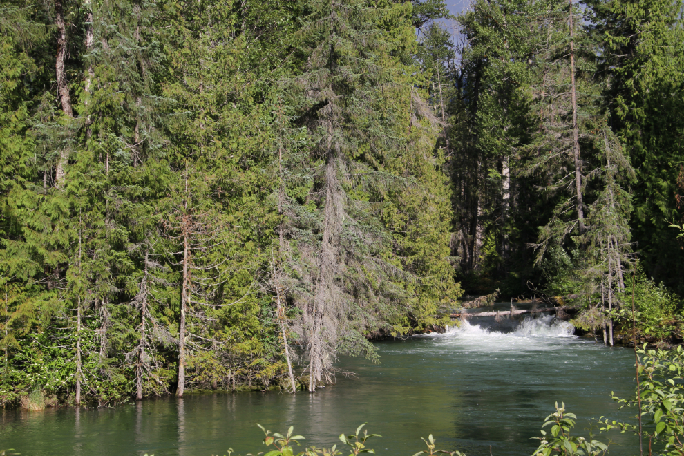
The Tseax River provides an important gravel stream bottom habitat to salmon and steelhead spawning, and can be a great place to watch the fish. When the fish are spawning, the river also attracts both black and grizzly bears, but we were a bit early. A local fellow was fishing here, unsuccessfully so far.
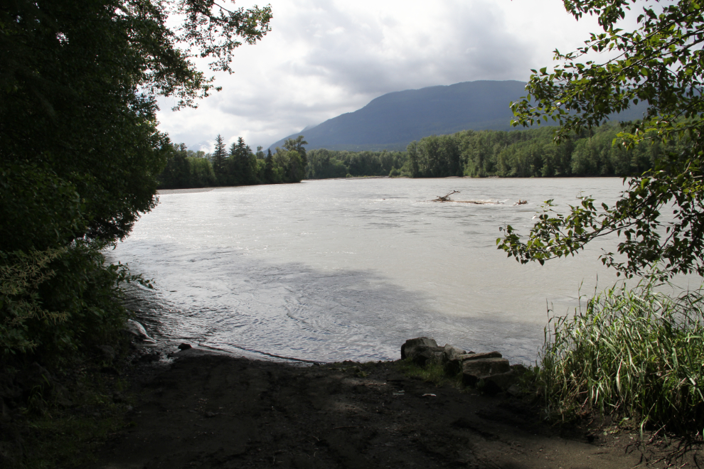
Stop #9 was Gitlaxt’aamiks, which we had just come from, so #10 was next – the Boat Launch on the Nass River (Hanii-yaga-ba’ansgum Boot). When lava flowed into the Nass River, it pushed the river from the south side of the valley to the north side. Breaks in the front allowed lava to flow into the water, rapidly cooling and forming what looks like an elephant’s trunk, though I didn’t see any.
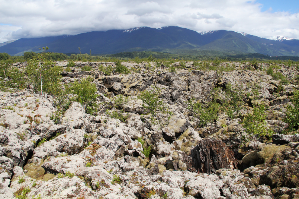
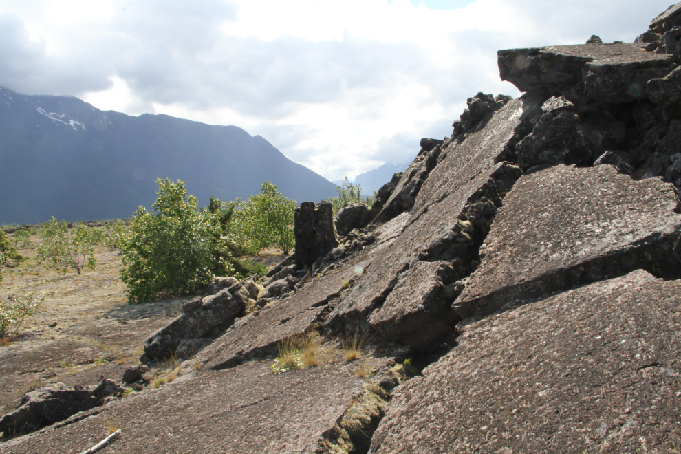
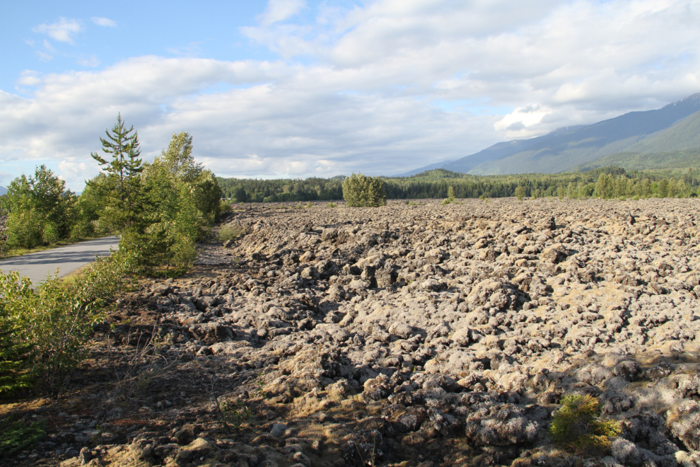
The lava field on the drive back to the highway from the boat launch. The forms and shapes are extremely varied, but three forms dominant the Nisga’a lanscape. A’a lava is rough and jagged, formed when gases escape violently from the lava as it cools. Pahoehoe is smooth lava formed when gases escape quietly from the lava as it cools. Lava tubes are formed when the top layer of lava cools and hardens while molten lava is still flowing underneath. If the molten lava flows out before hardening, a hollow tube remains, and the upper layer often breaks and collapses into it.
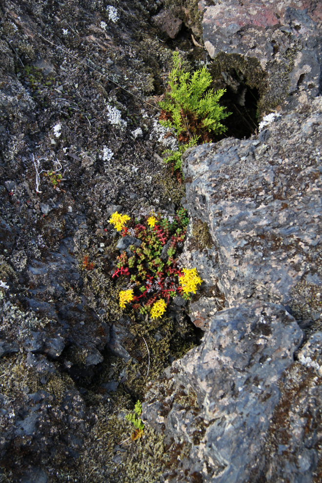
Stop #11 is the Tree Cast (Wil Luu-galksi-mihl Gan). A 5-minute walk starting with this boardwalk over some A’a lava and collapsed tubes is supposed to lead to a tree cast, formed when molten lava flows around a tree and then hardens before the tree burns. The path led me nowhere, though. I’ve found tree casts in the lava field on my own during previous visits – I find them very interesting features.
The Tree Cast walk provided lots of interesting sights, even if I couldn’t find the tree cast. Mother Nature’s transforming of the lava field back to a forest is occurring extremely slowly.
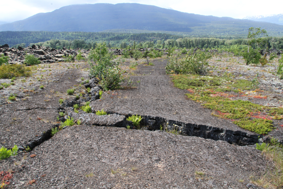
A section of pahoehoe that almost looks like an old road.
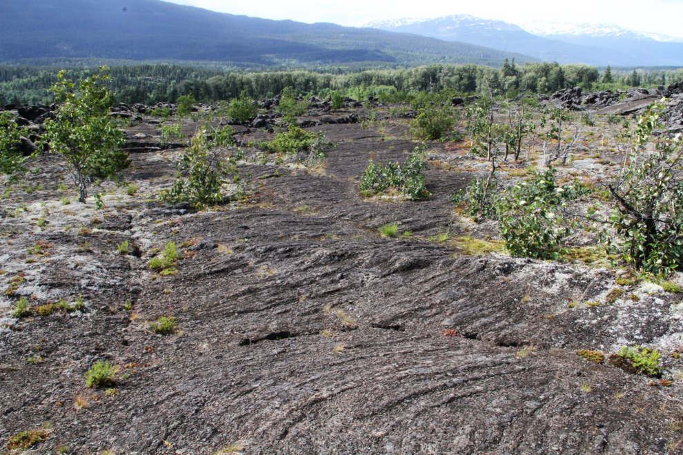
This is the texture of much of the lava here.
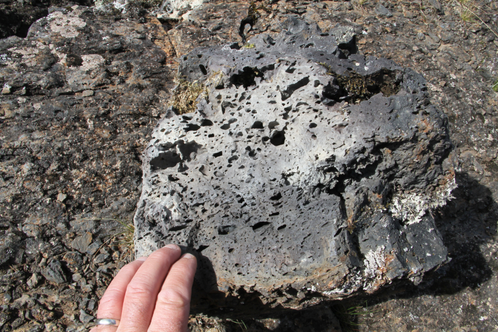
I got into the next photo so you can judge the size of these blocks of A’a lava.
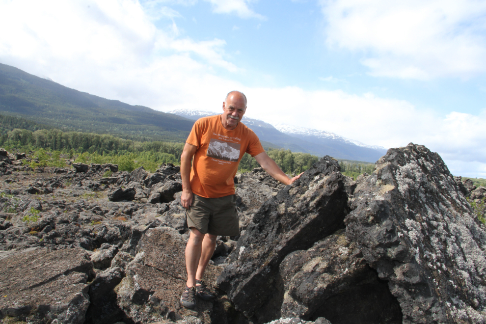
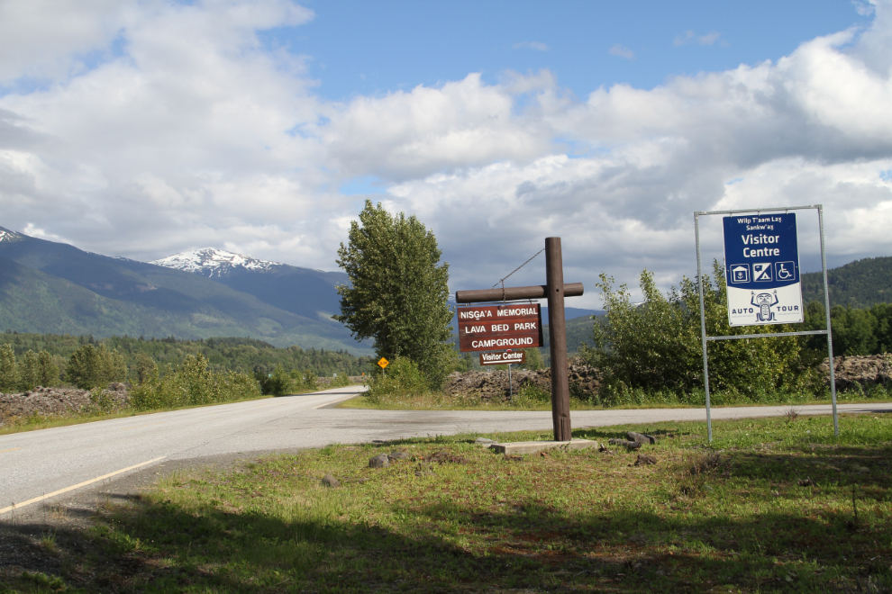
I didn’t go into stop #12, which is the village of Gitwinksihlkw, which means “place of the lizards). Stop #13 is the park Dedication Site, a particularly impressive location within the lava field where the ceremony was held on April 30, 1992. Nisga’a Memorial Lava Bed Provincial Park was the first park to be jointly managed by BC Parks and a First Nation.
Blocks of lava at the Dedication Site.
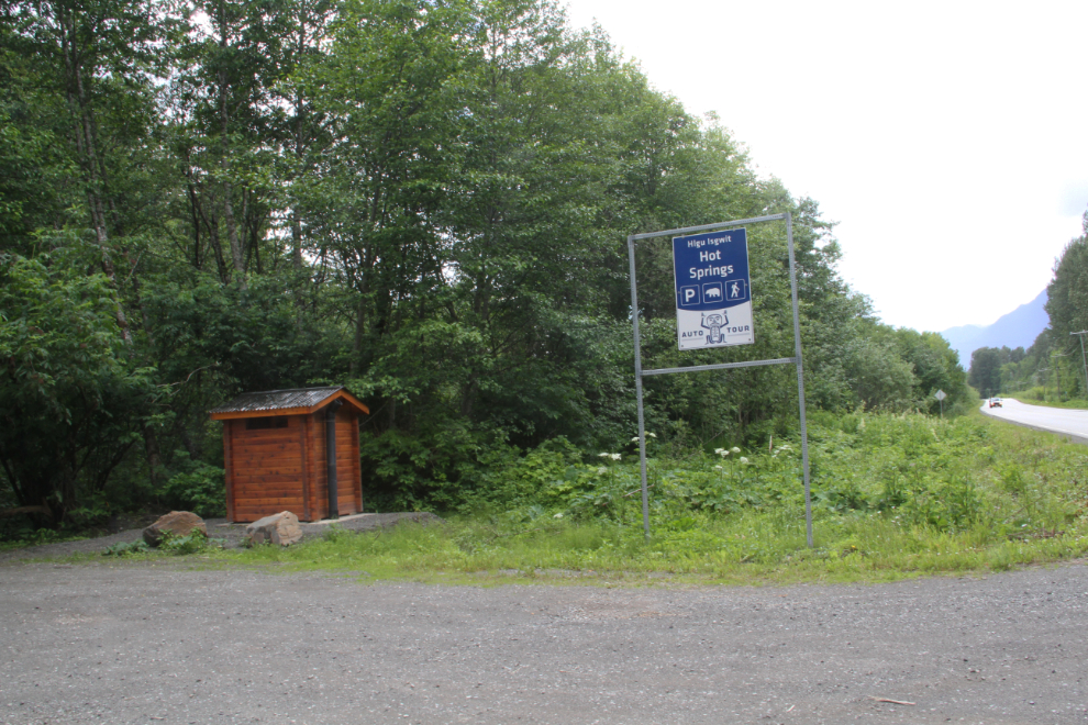
I love wilderness hot springs, so stop #14 was of particular interest to me – the hot springs known most commonly as Aiyansh Hot Springs now, but traditionally Hlgu Isgwit. This is the parking lot with a new outhouse, at the highway.
I’d heard some complaints that the wilderness nature of the hot springs has been ruined. The new boardwalk is nice – it used to be quite a slog to get in (see this 2007 photojournal).
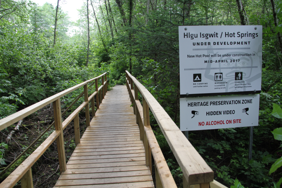
There are still some sloppy sections to walk across, but the new boardwalk seems to go across most of them. The forest that the trail goes through is really beautiful.
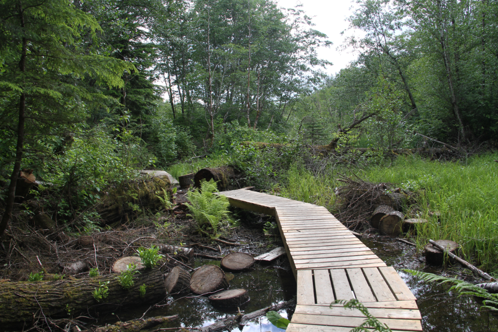
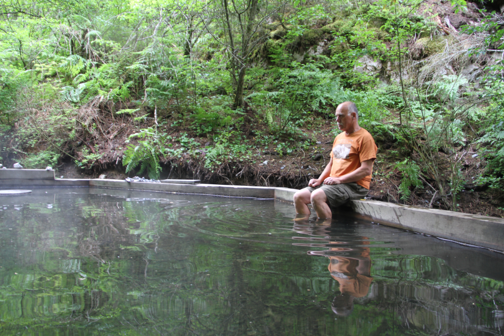
Just over 5 minutes from the parking lot, Aiyansh Hot Springs. My first impression was pretty positive, although the mosquitoes were very bad.
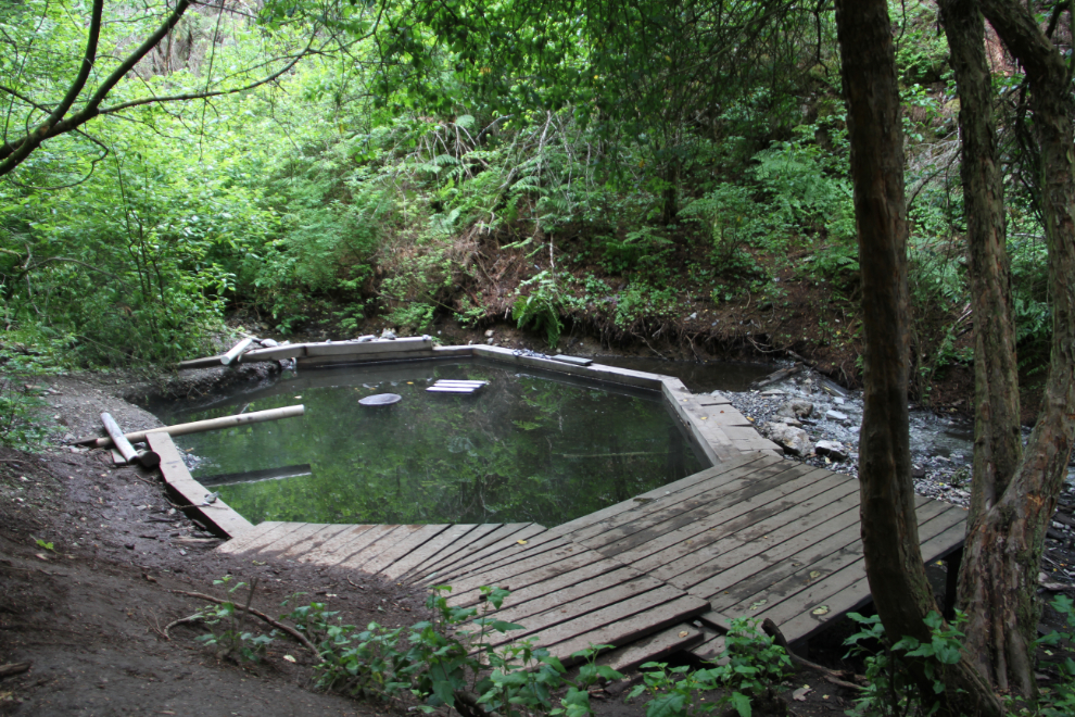
Well, the water temperature is wonderful (about 104°F, judged by my hot tub at home), but that’s all the depth there is. I had brought a bathing suit and towel, but that’s as wet as I got. So while natural hot water is always interesting, Aiyansh Hot Springs is at the bottom of the list of hot springs I’ve visited.
I didn’t continue west for the distant stops #15-18, as none are volcano-related. In the next photo, I’m back on Highway 113, the Nisga’a Highway, headed for the campground to get Bella and Tucker for the rest of the park tour.
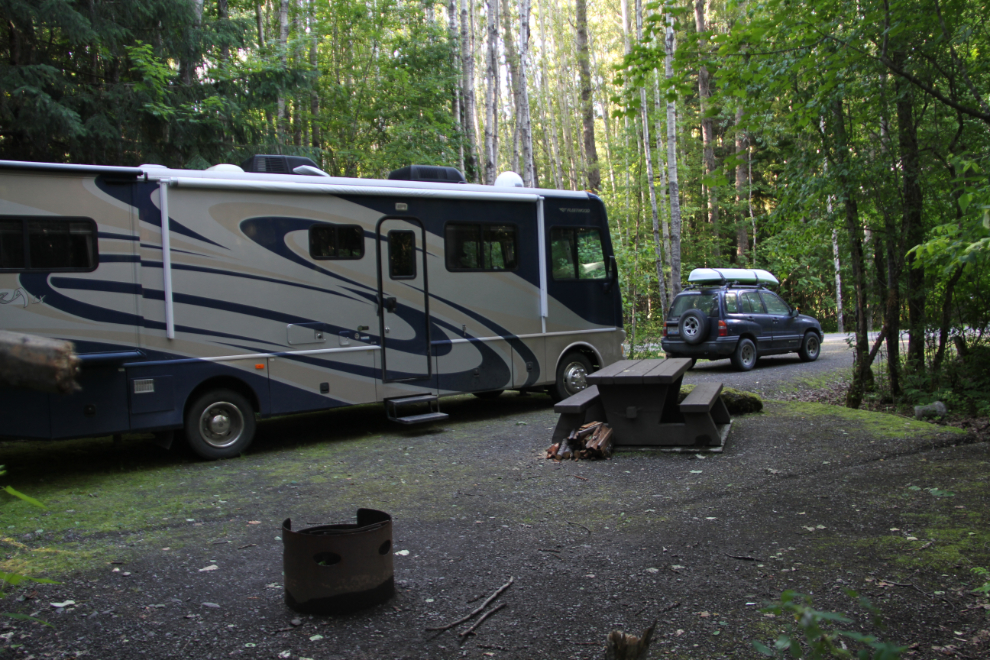
The access road to the Visitor Center and campground, which is stop #7 on the Auto Tour.
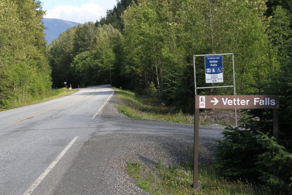
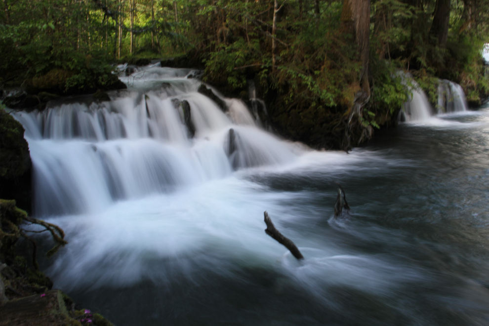
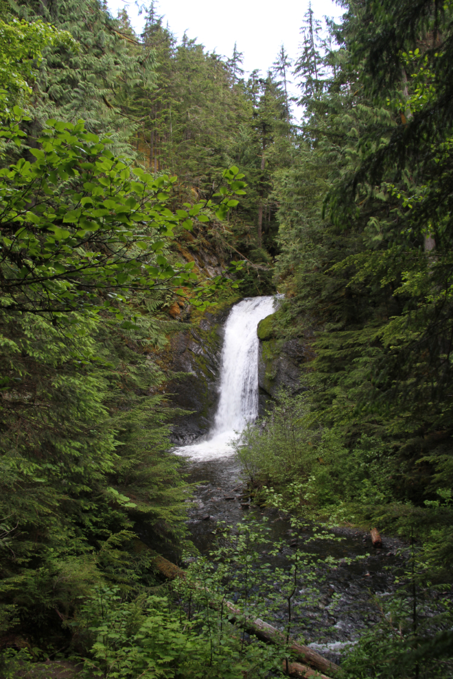
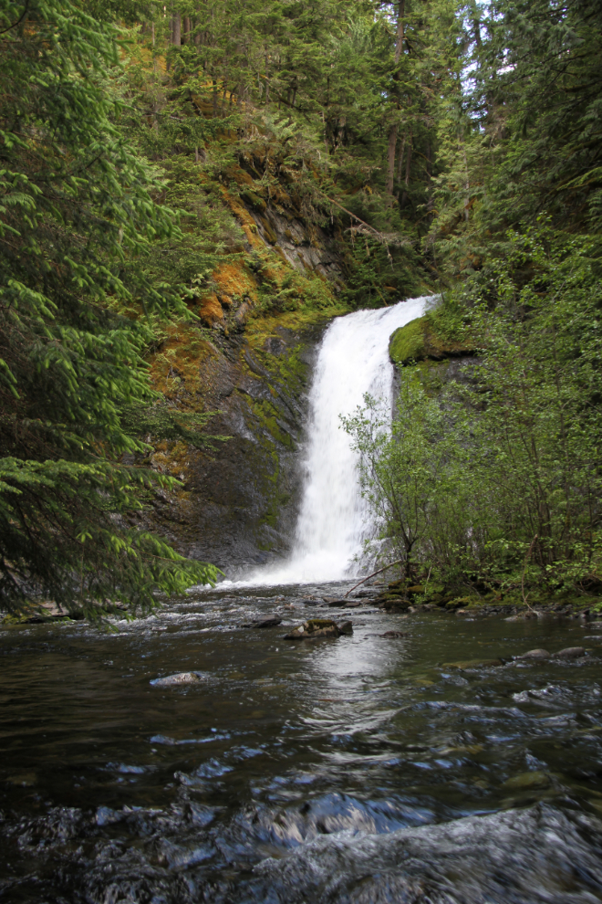
Driving south now, retracing my route to the park from Terrace, the next stop was #6, Vetter Falls (Ts’itksim Aks). The water that flows over these falls is overflow from the Tseax River. The water disappears under the lava about 5 km downstream from here.
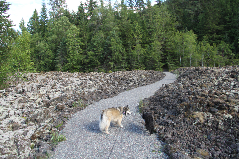
The short trail to the falls begins as a gravelled accessible path through the lava field.
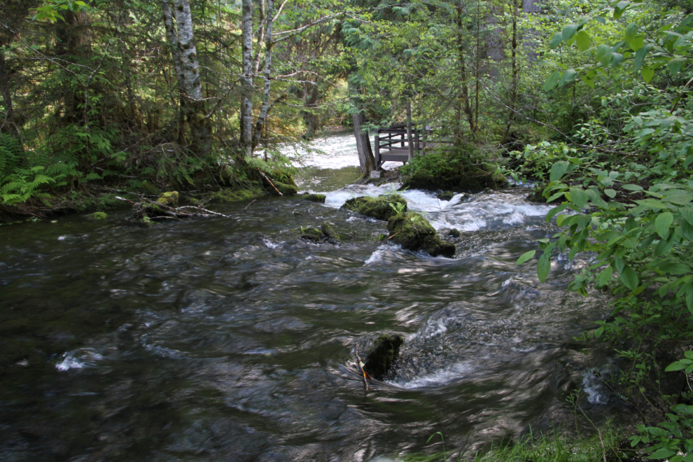
The creek above the falls. I’d been to the falls before, but not when there was this much water flowing.
About 5 waterfalls were flowing, spread across about 300 feet of the forest, due to the increased amount of water. This photo was shot with a 1-second exposure at ISO 100 to blur the water. It was shot hand-held because I hadn’t brought my tripod – it’s nearly impossible to use with 2 dogs on leashes.
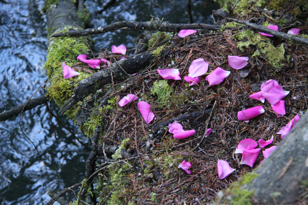
Rose petals beside the falls. There are no roses anywhere close, so they were put there on purpose. Interesting…
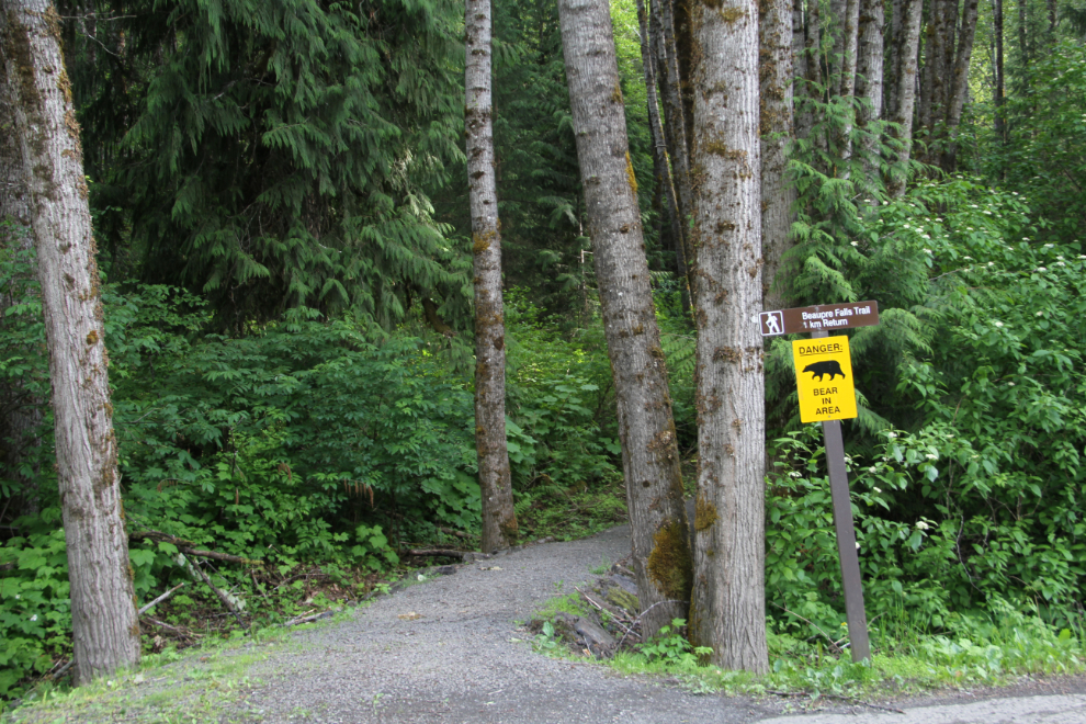
A slightly longer trail (just over 5 minutes) takes visitors to stop #5, Beaupre Falls.
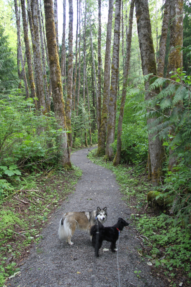
I was really enjoying the smells of the damp forest on the last 3 walks.
The viewing deck also for comfortable contemplation of the scene. I noted that unlike the situation at the hot springs, there were very few mosquitoes here.
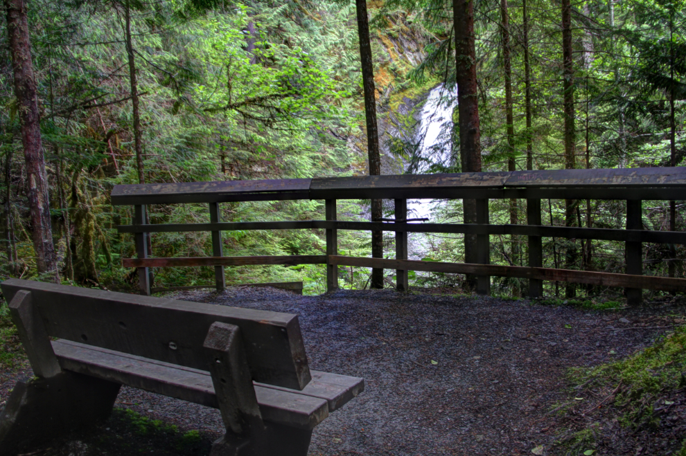
Beaupre Falls from the viewing deck.
Starting back towards the car, Bella wanted to go down a side trail to the creek. Walking up the creek a bit led us to this view of the falls. Nice work, Bella 🙂 Before going back up to the trail, Tucker initiated a play while in 6 inches or so of water in the creek, and it got quite animated! Tucker doesn’t like water much, so that really surprised me.
Stop #4 is the Drowned Forest, the stop we had made earlier on the drive into the park.
Stop #3 is Crater Creek, where a trail goes a short distance towards Tseax cinder cone. As I mentioned, the cinder cone can only be visited on a guided tour, and they weren’t being offered yet. I certainly would have stayed to go on the 4-hour hike if it had been available. The interpretive panels here were the first mention I’d seen about 2,000 people dying here.
Another view of the vast lava field (about 39 square kilometers of it), from the campground access road in the evening light.
At 7:30 pm, we were back at the motorhome, and it was time to get a late dinner for everybody. I’d decide in the morning what to do with the day, but moving on towards Stewart was the most likely plan.