Hell’s Gate, historic Yale, and on up the Coquihalla
The Fraser Canyon still held my attention on Day 9 of the trip – Saturday, May 5th – with a dog-walk at Hell’s Gate and a good look at the historic community of Yale being the main points.
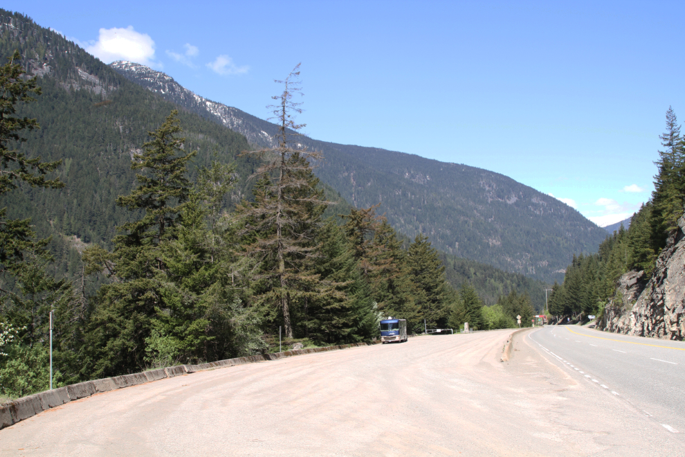
We pulled away from the Canyon Alpine RV Park at 11:00, and 10 minutes later Bella, Tucker, and I were out in the sunshine in one of the large parking lots at Hell’s Gate, ready for a walk down to the famed rapids on the Fraser River. The year before, I had ridden the aerial tram down and back up, but it was a great day for a hike.
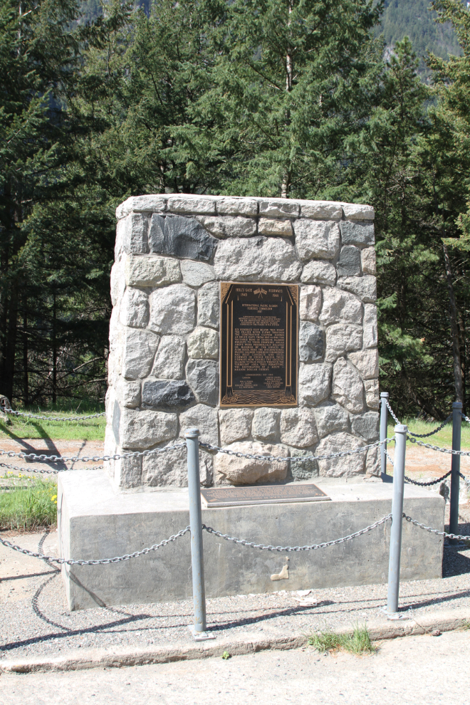
This monument at the top of the road down to the river commemorates the construction of fishways in 1945-46:
Six hundred feet below this point, the Fraser River flows through the constricted canyon known as Hell’s Gate. From 1913 to 1945 the valuable runs of sockeye salmon enroute to their spawning areas above were periodically delayed or blocked by the effects of slide rock. Here the International Pacific Salmon Fisheries Commission has built concrete and steel fishways of unique design. These fishways now enable the sockeye to pass freely through the turbulent area, this permitting the restoration of a multi-million dollar fishery.
The International Pacific Salmon Fisheries Commission was appointed in 1937 under a convention between Canada and the United States for the protection, preservation, and extension of the sockeye salmon fisheries in the Fraser River system. In 1985, the International Pacific Salmon Fisheries Commission was replaced by the Pacific Salmon Commission – see more at www.psc.org.
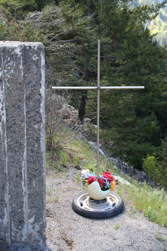
Off the edge of the upper end of the parking lot, this cross stands, with a motorcycle wheel as the base and a motorcycle helmet to hold flowers. There doesn’t appear to be a name on it.
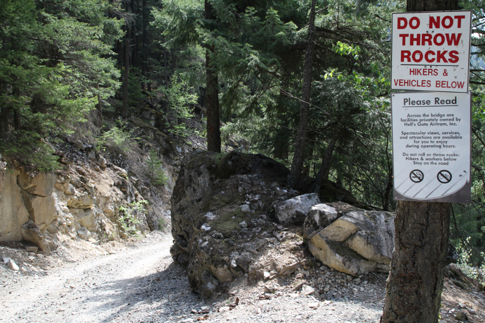
Okay, 11:25 – time to go for a real hike! A sign near the top says that the road is 1 km each way, and the difficulty is “medium – high”. You’d have to be in very poor shape, though, to consider this a hard hike.
About half-way down, 10 minutes later. There was a young couple on the trail, but otherwise we had it to ourselves, with the roar of the river far below the only sound except for an occasional truck on the highway.
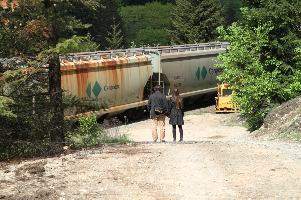
We had to wait for 3-4 minutes for a train to pass. Bella is terrified of trains, but I stayed far enough back that she was okay with this one.
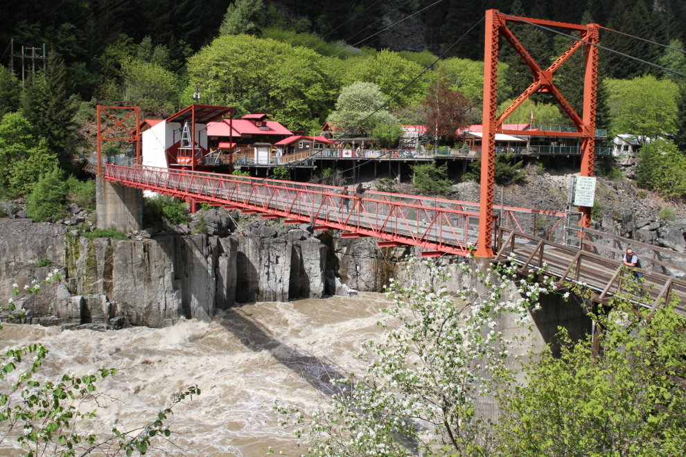
Hell’s Gate, with the aerial tram operation on the far side of the bridge. The waters here are always impressive, but now at high water, the power is incredible.
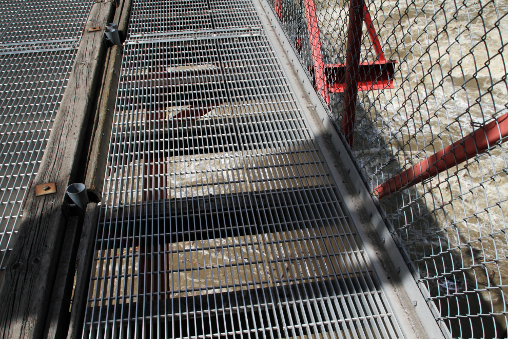
Another open-grate steel deck. Although I enjoy letting Bella and Tucker meet people (a.k.a. “adoring fans”, Bella says), but didn’t ask them to cross when they both balked.
I’m curious about whether any boats run that. I don’t think a kayak could – the hydraulics are too large and powerful. I suppose a jetboat could, as they barely touch the water.
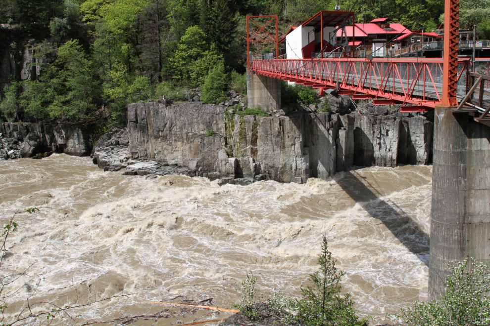
I shot a 1-minute video so you can better see and hear the power of this place.
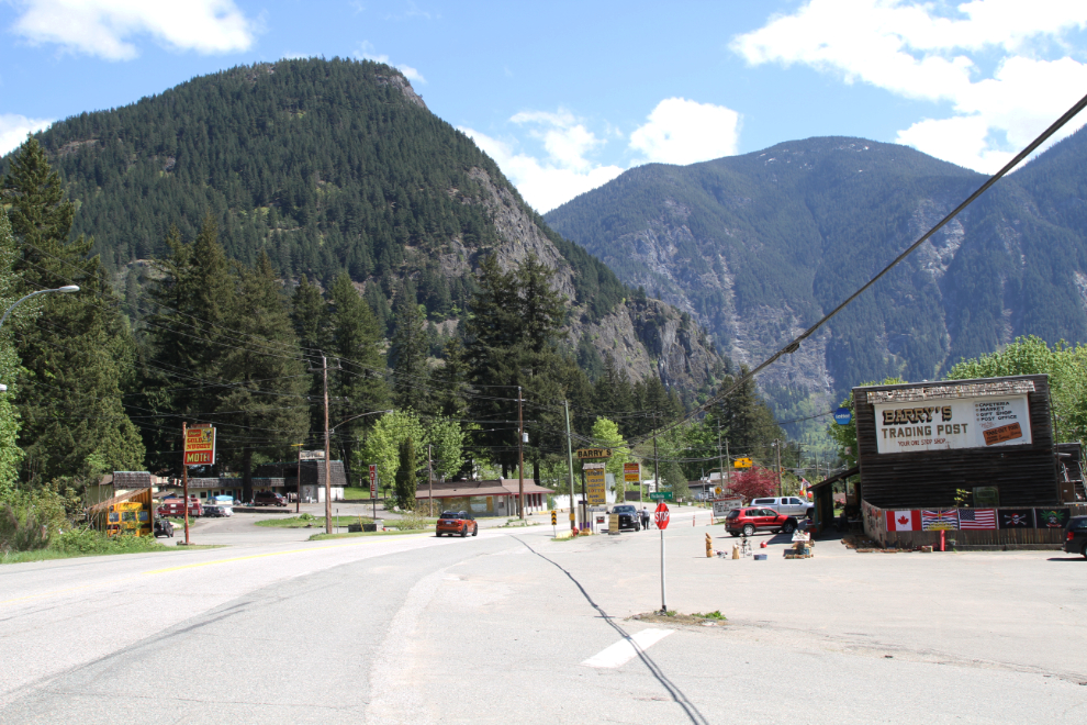
The walk up the road was a whole lot warmer than the walk down, but we were some on our way south in the motorhome, and at 1:00, parked at Yale.
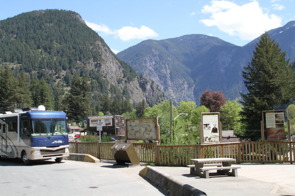
I unhooked the Tracker at the rest area at the south edge of Yale, and went exploring while the fur-kids took a siesta.
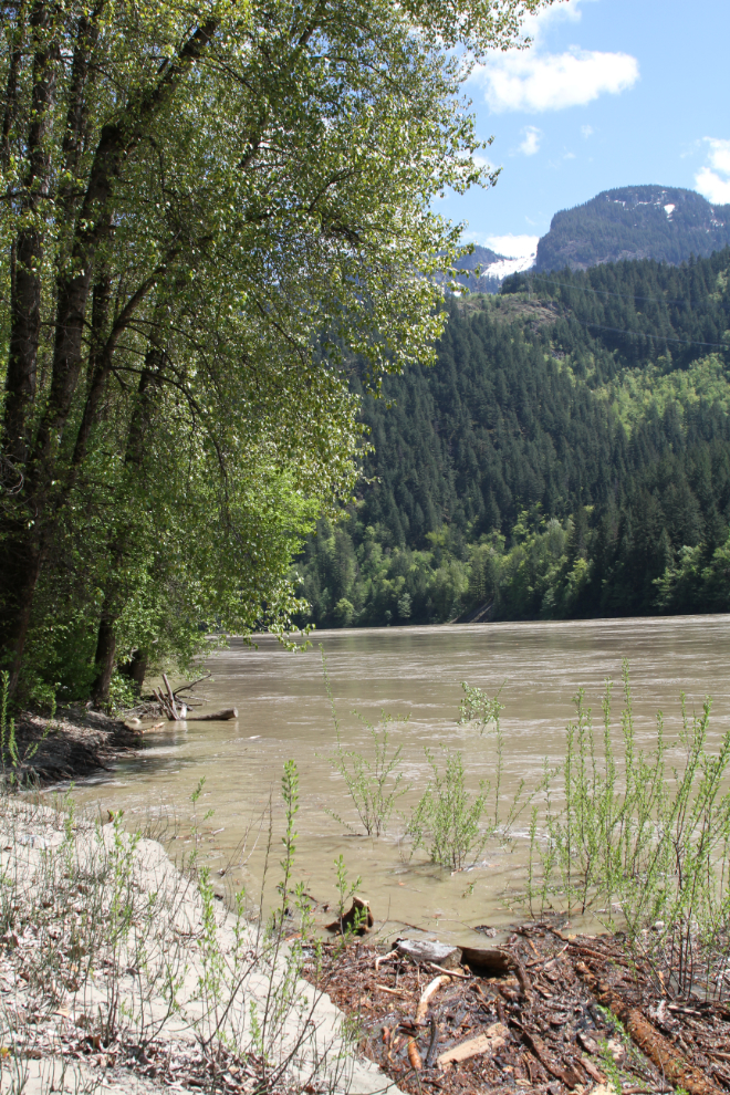
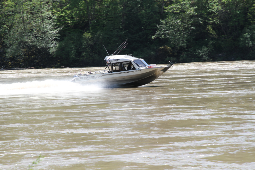
I soon found a lovely calm spot with a sandy beach on the Fraser River. The dogs would have loved this to explore and play, but this was the exception to the activities I had planned.
A very powerful boat from GreatRiverFishing.com thundered by.
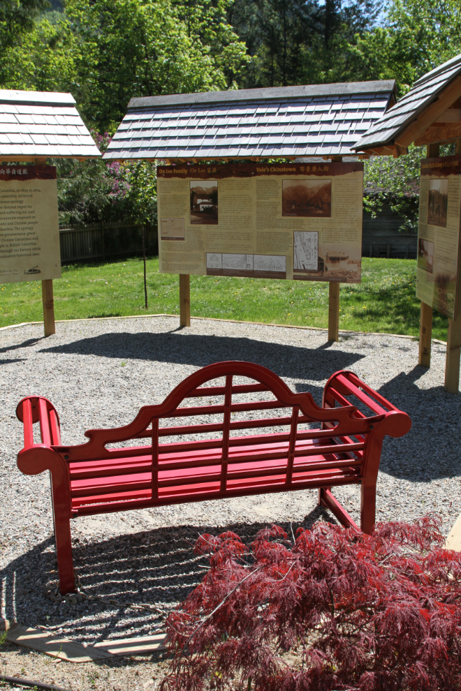
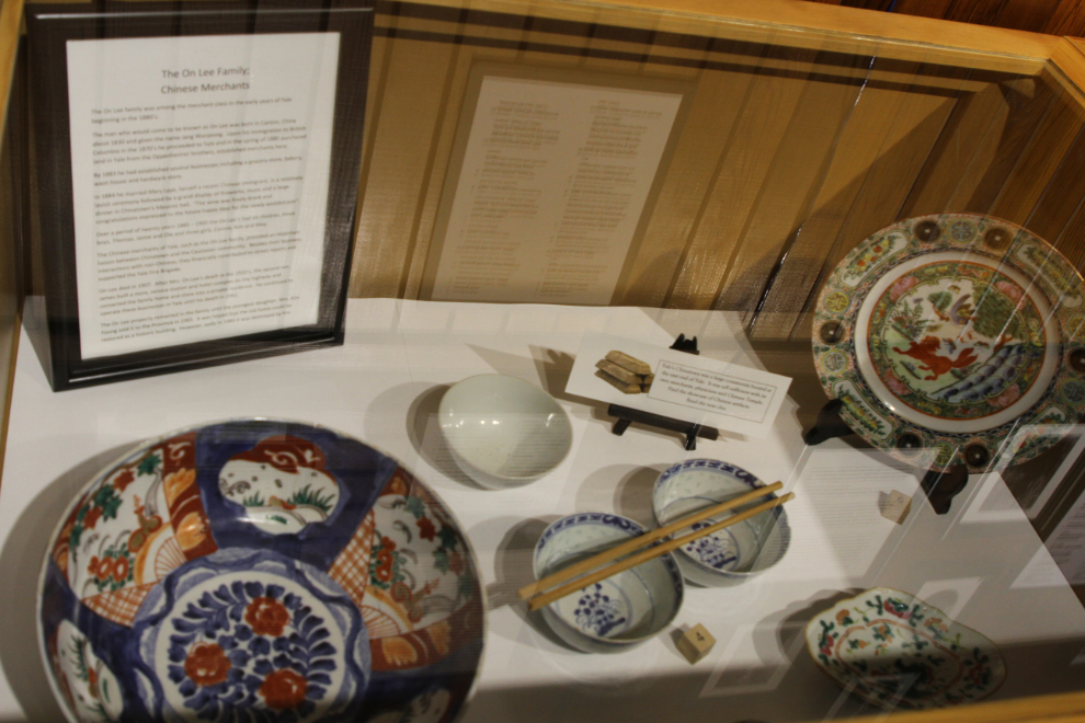
There are historic sites everywhere in the Yale townsite, and you have to search them out. Chinese were a very important part of Yale’s history, and this memorial and interpretive site is located on property once owned by Jang Won Jeong, more commonly known as On Lee. The interpretation begins with a panel about the British Columbia Legislature’s 2014 apology for “the hardship and suffering our past provincial governments imposed on Chinese Canadians and Chinese people in British Columbia.” The stories of how they were treated by the governments and railway construction contractors in particular are truly horrific. It was once said that one Chinese person was killed for each mile of railway built, but the accepted number is now 4 deaths per mile. Relatively few non-Chinese men were killed because the Chinese were considered to be disposable and were given the most dangerous jobs.
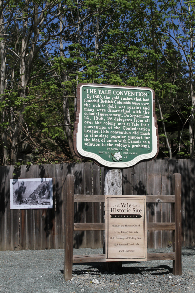
At the entrance to the main Yale Historic Site, a heritage marker installed in 1970 describes The Yale Convention:
By 1868, the gold rushes that had founded British Columbia were over, the public debt was soaring and many were dissatisfied with the colonial government. On September 14, 12868, 26 delegates from all over the colony met at Yale for a convention of the Confederation League. This convention did much to stimulate popular support for the idea of a union with Canada as a solution to the colony’s problems.
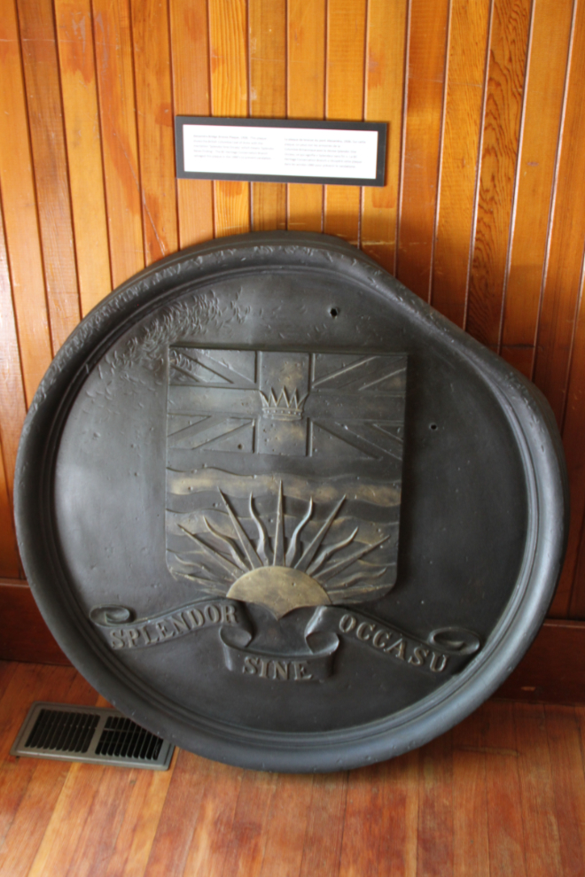
The Creighton House Museum, built in 1870 by businessman David James Creighton, is one of very few original buildings remaining in Yale. All of the interior woodwork and much of the cabinetry in the kitchen is original. Admission to the Yale Historic Site, including the museum is $10 for adults.
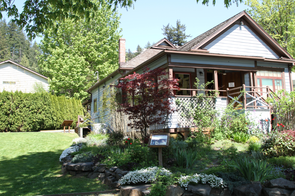
Throughout the museum and the Historic Site in general, the lives of the Chinese residents of the past are seen much more than what I remember from visits many years ago.
I mentioned in my post about the Alexandra Bridge that I wondered what happened to the brass plaques that used to be on each tower. Now I know – they were removed from the bridge in the 1980s and are in the Creighton House Museum.
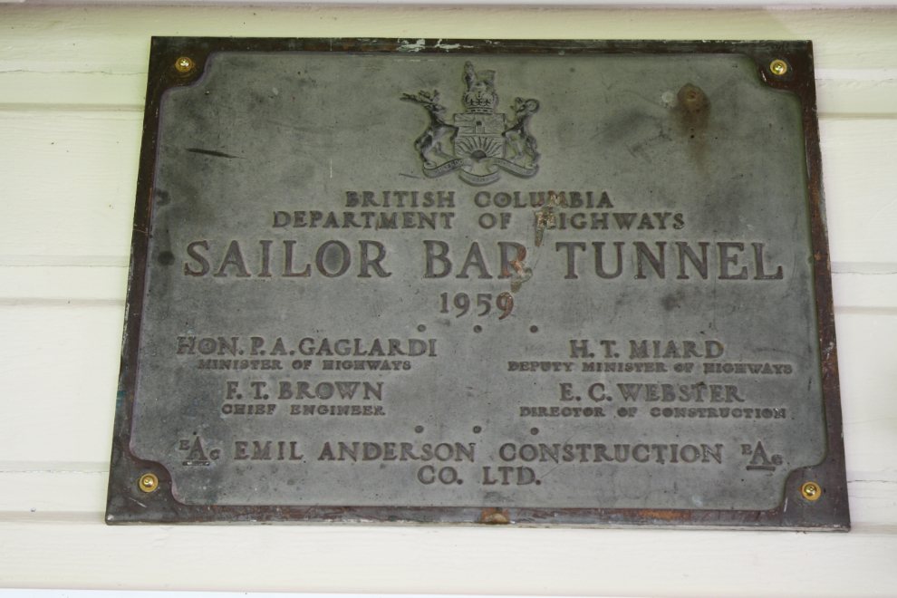
They also have some of the brass plaques from the Fraser Canyon highway tunnels. The ones from the Saddle Rock Tunnel (1958), Sailor Bar Tunnel (1959), Ferrabee Tunnel (1964), and China Bar Tunnel (1961), are on display.
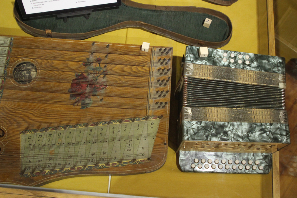
Beautifully decorated zither and accordion.
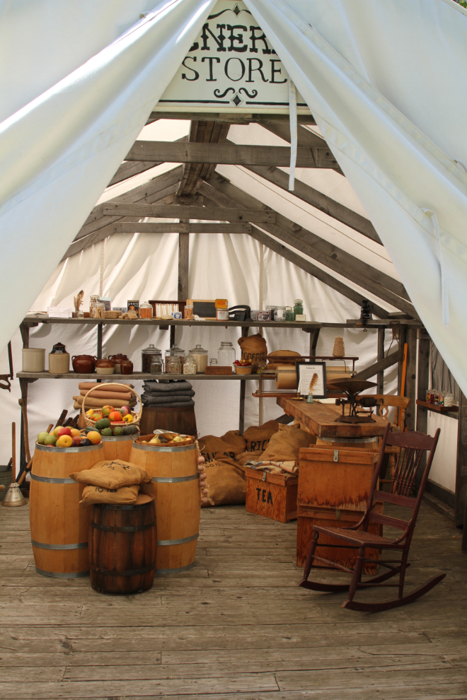
Outside, the Tent City takes visitors back to the early days, when tents housed many businesses serving the people stampeding to the gold areas in the Cariboo district.
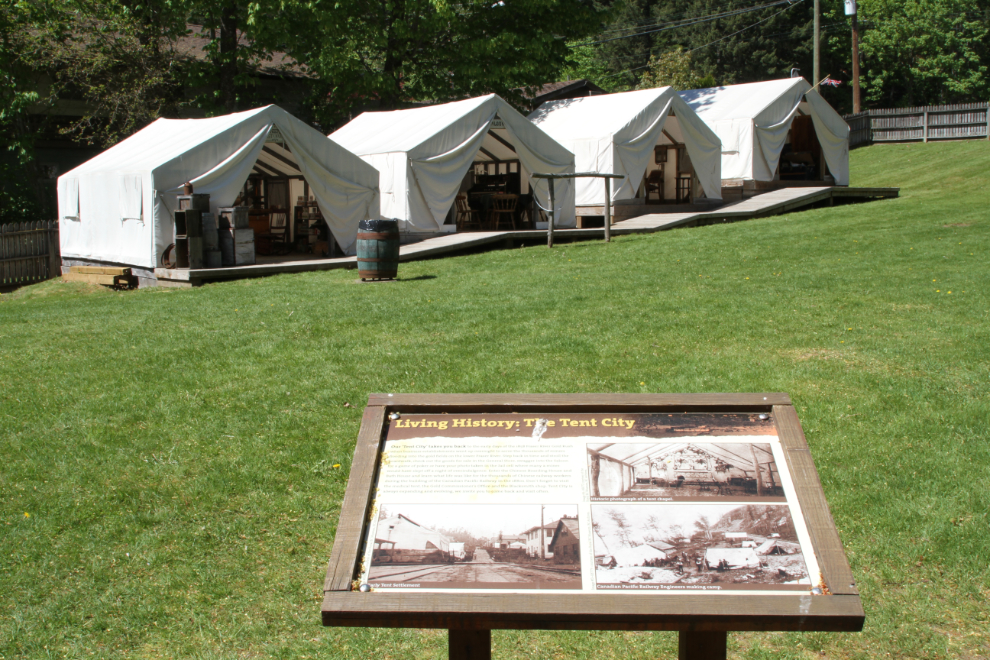
This is the General Store in the Tent City. Costumed interpretive staff are on duty here in the summer, but it’s very quiet yet.
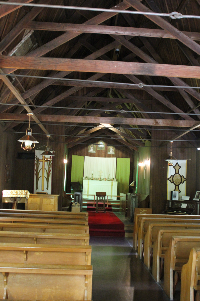
One of the buildings that I particularly wanted to see was the St. John the Divine Church. It was consecrated on April 19, 1863, and regular services were held until 1976 when it was turned over the the province and became a historic site. This is the second-oldest church in mainland BC.
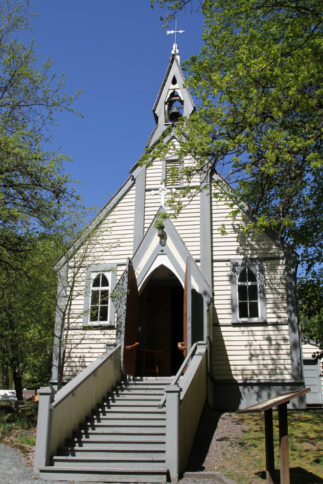
Although a major restoration was done on the St. John the Divine Church in 1953, original interior walls, rafters, and handmade nails can still be seen.
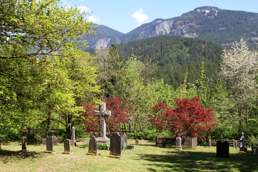
It was after 2:30 when I made it to the final stop I wanted to make before going back to the RV, the Pioneer Cemetery. The cemetery is closed now.
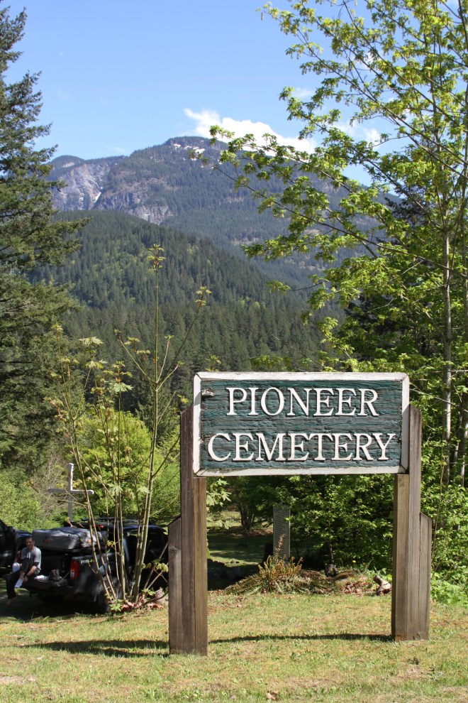
I quickly discovered that although the afternoon light was good for overall photos, morning light is needed for photos of the individual headstones. I was very surprised by how small the cemetery is, as the population of Yale peaked at about 3,000. A book has recently been written about the cemetery – I may see if I can get a copy through Inter-Library Loan to read before my next visit.
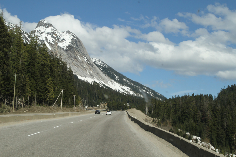
I hadn’t really had any plan for how far I’d go this day – wherever it was beyond Yale, it would be an easy drive to Kelowna to meet Cathy. Just after 3:30, I started up the Coquihalla Highway, in a valley that my family played in long before a highway was envisioned. Even when I spent weekends here in my 4×4 in the late 1970s, my feeling was that there was no way a highway could ever be built here. But, here that highway is.
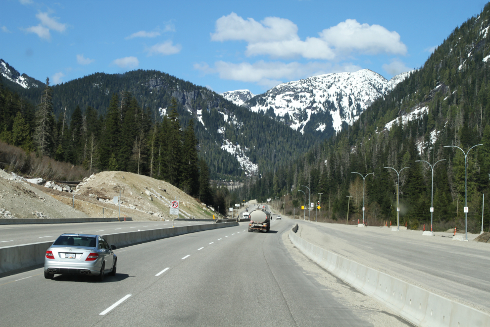
The truck lanes of long stretches are very rough, and re-paving of 30 km of it is being done this summer. Despite rough pavement, though, there is some incredible scenery. “The Coq” really is a route for speed, though (the speed limit is 120 km/h) – the Fraser Canyon or Hope-Princeton are the routes to wander along.
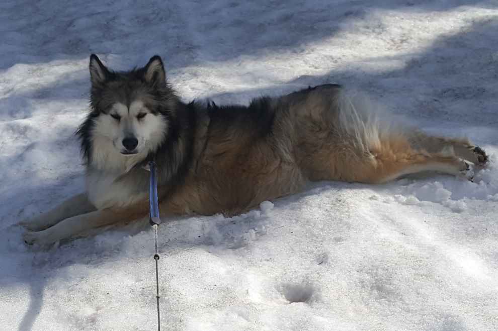
I stopped just north of the Coquihalla Summit, at the Britton Creek Rest Area, where a couple of feet of snow still remain. Bella loved being back in the snow! She dug in it, she rubbed her face in it, she rolled in it, she stretched out to get as much of her body as possible in contact with it. Okay, we’ll camp here tonight 🙂
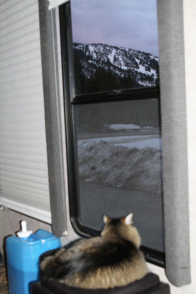
We had the rest area pretty much to ourselves for a couple of hours, then semis and another RV joined us in the huge parking lot. I had taken an upper-end parking spot, so Molly’s view of the world out the large hall windows never got blocked 🙂
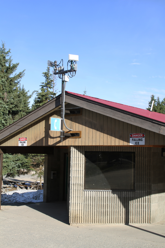
The Britton Creek Rest Area, truly in the middle of nowhere, has free wi-fi! To all the RV park owners who have a million reasons why their wi-fi service is such shit, here’s how it’s done. It’s not cobbled together from pieces you find at a discount electronics store.
From Britton Creek, Bear Creek Provincial Park in West Kelowna, is only 185 km.