A walk along the WP&YR rail line to Watson River Falls
In my last blog post, I mentioned that I didn’t think that anyone canoes the Watson River that I posted a photo of. A friend of mine in Whitehorse said that she canoed it many years ago, and that there was a canyon to portage around, with a lovely little waterfall at the bottom.
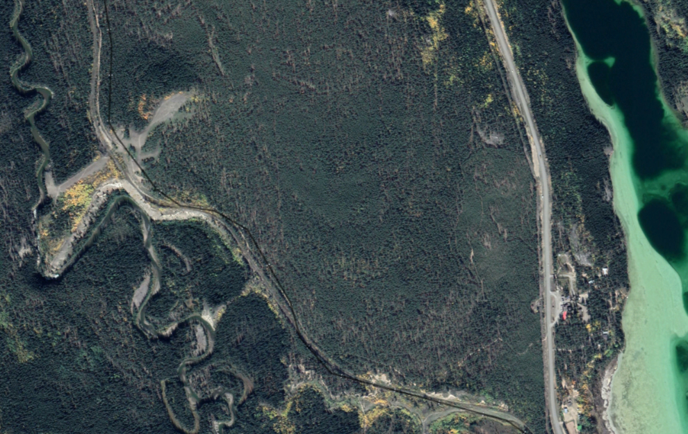
The canyon and waterfall were easy to find on Google Earth, and it was clearly easy to access from the South Klondike Highway. I decided to take that walk the next day (Thursday, August 11). In the Google Earth image below, the canyon is at left centre, with Spirit Lake Lodge to the right.
As I was about to head out, I called a hiking buddy to see if she would like to join me for a mini-Adventure, and the answer was “yes!” We were soon headed south.
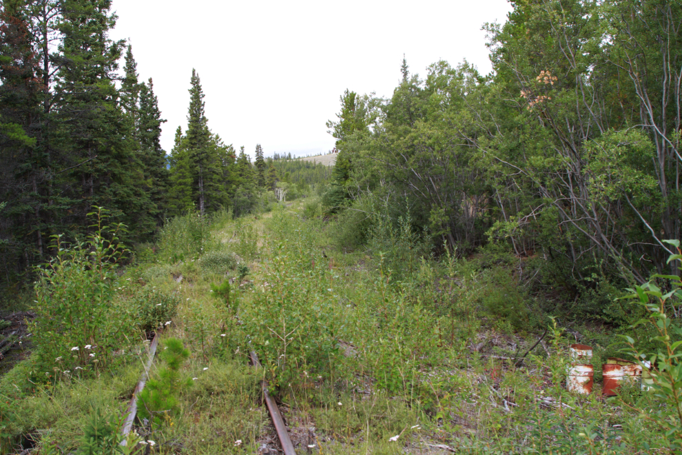
I turned off the highway onto a small dirt track across from Spirit Lake Lodge, followed it for a while, and when there was a place to park the Tracker as that road paralleled the WP&YR rail line, parked and walked across to the tracks. The next photo shows the spot where we started walking north up the railway, at 1:25 pm.
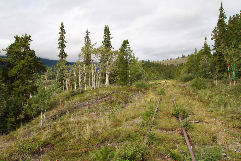
The next photo was shot just 6 minutes from the start.
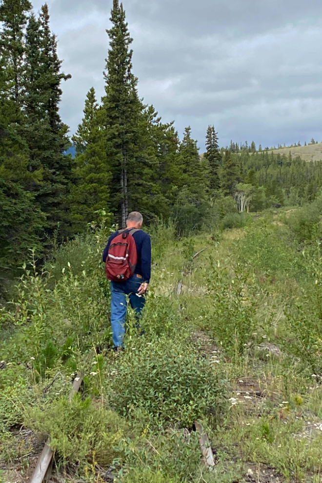
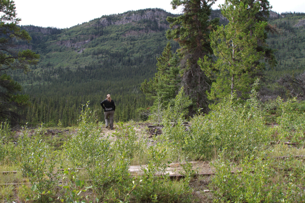
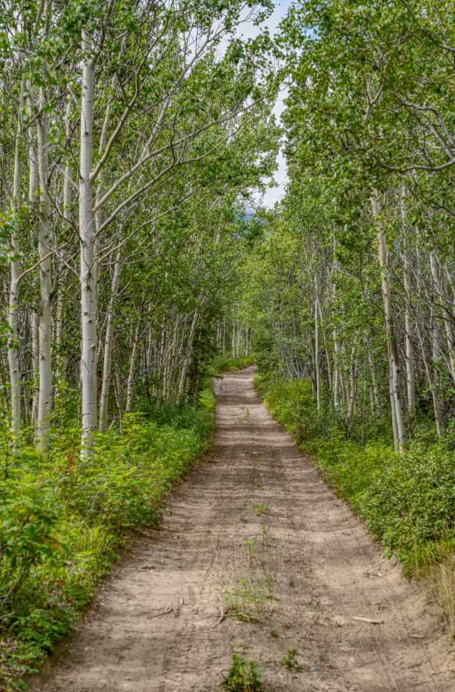
The walking was mostly very easy, with only a little bit of brush and little damage to the rail bed. Karla shot the next photo.
At 1:36 we came to a spot where there’s a wooden crossing of the railway, to the foundation of a tiny building. The road I drove in on was still paralleling the tracks at this point. No station is marked on the maps, so I have no idea what this was. I don’t yet know the milepost location, as we didn’t see a milepost this day.
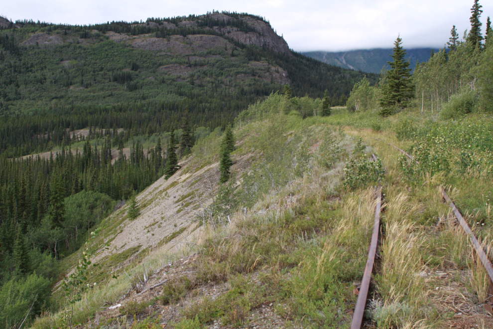
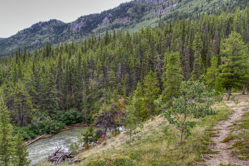
1:40. I was extremely pleased that I had decided to make this outing – what lovely country.
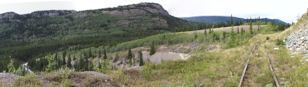
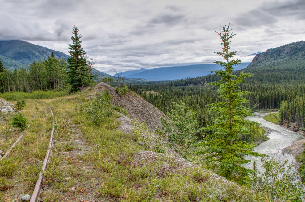
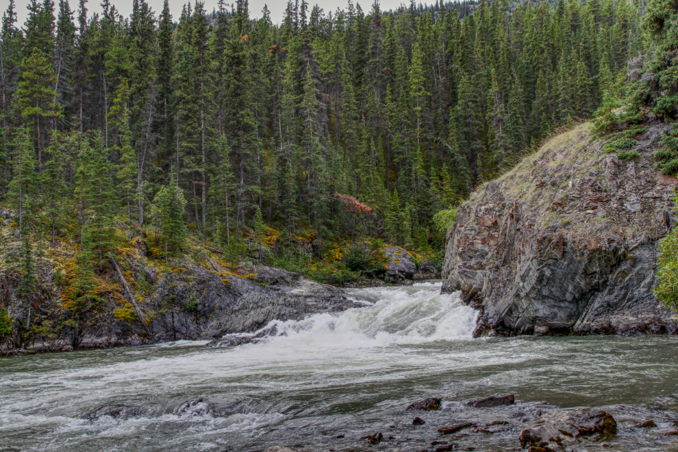
A 3-photo panorama shot at 1:46. We could now see the lower part of the canyon and the waterfall, at the left of this photo.
A closer look at the waterfall.
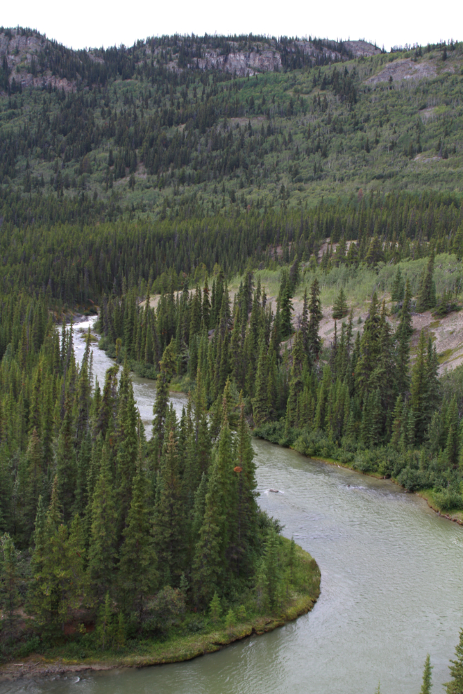
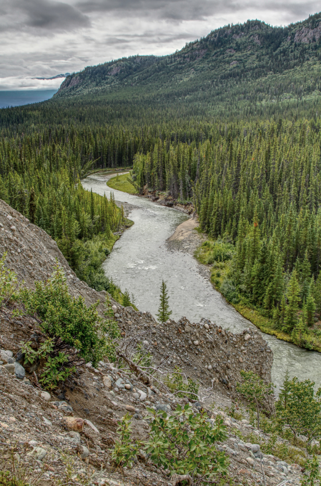
A look to the south, down the Watson River, from that same spot.
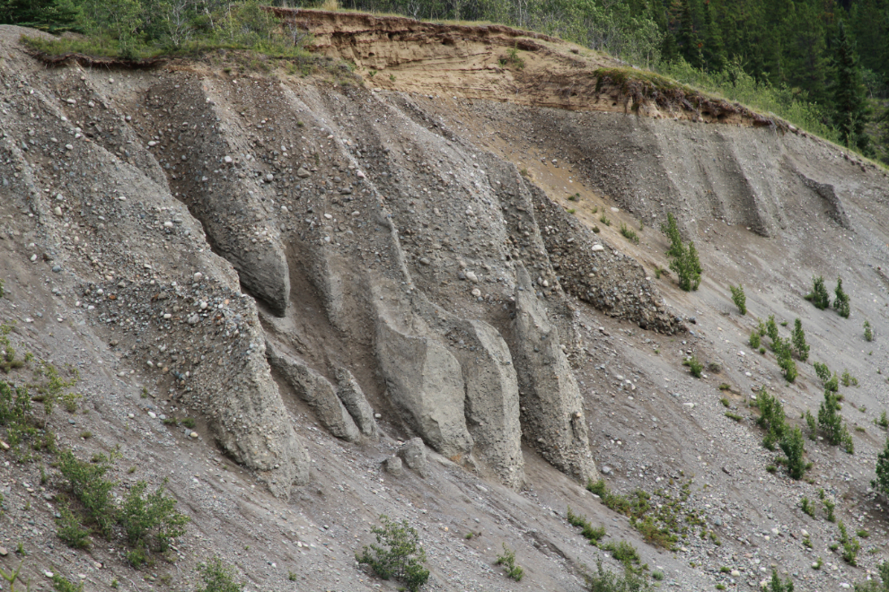
There were some interesting hoodoos on the gravel bank below us.
At 1:55 we took a little-used trail down the bank towards the canyon. The next photo is a look back at the hoodoos from that trail.
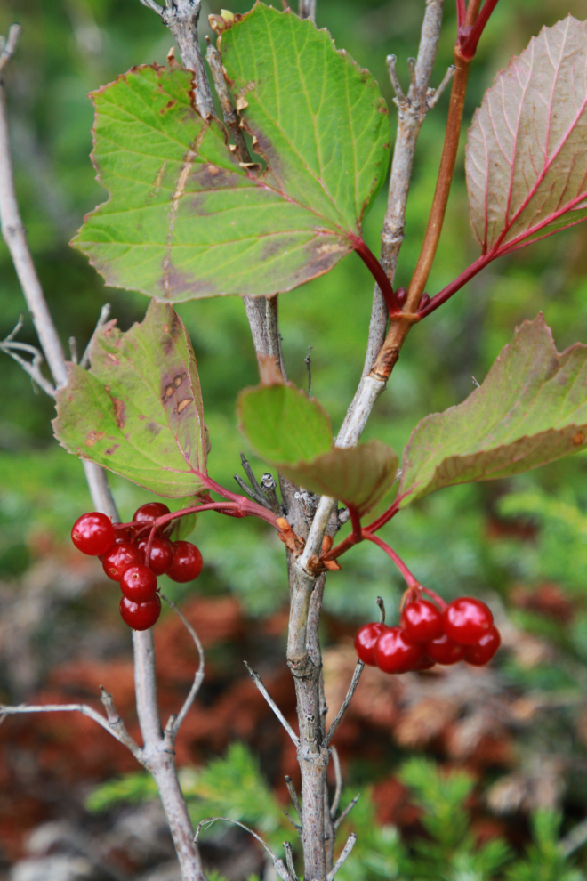
We thought these might be high bush cranberries but neither of us was sure enough to eat them. They were plentiful so I should find out for my next walk there, which may be tomorrow.
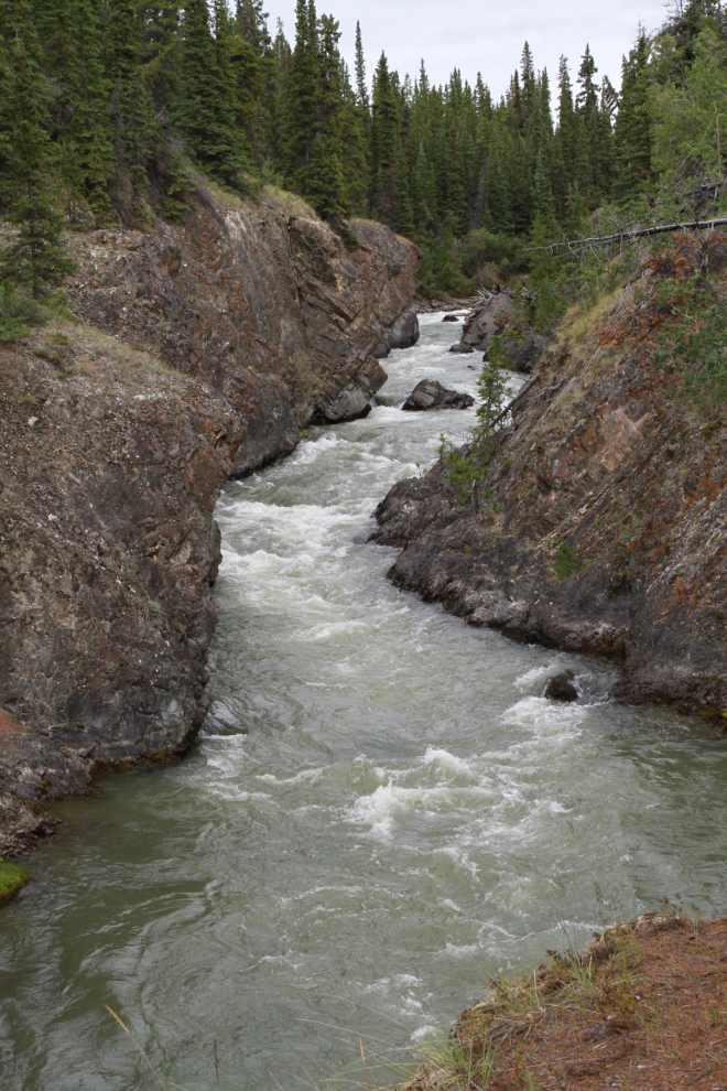
Approaching the canyon at 2:00.
Looking up the Watson River canyon.
Exploring along the lip of the lower canyon.
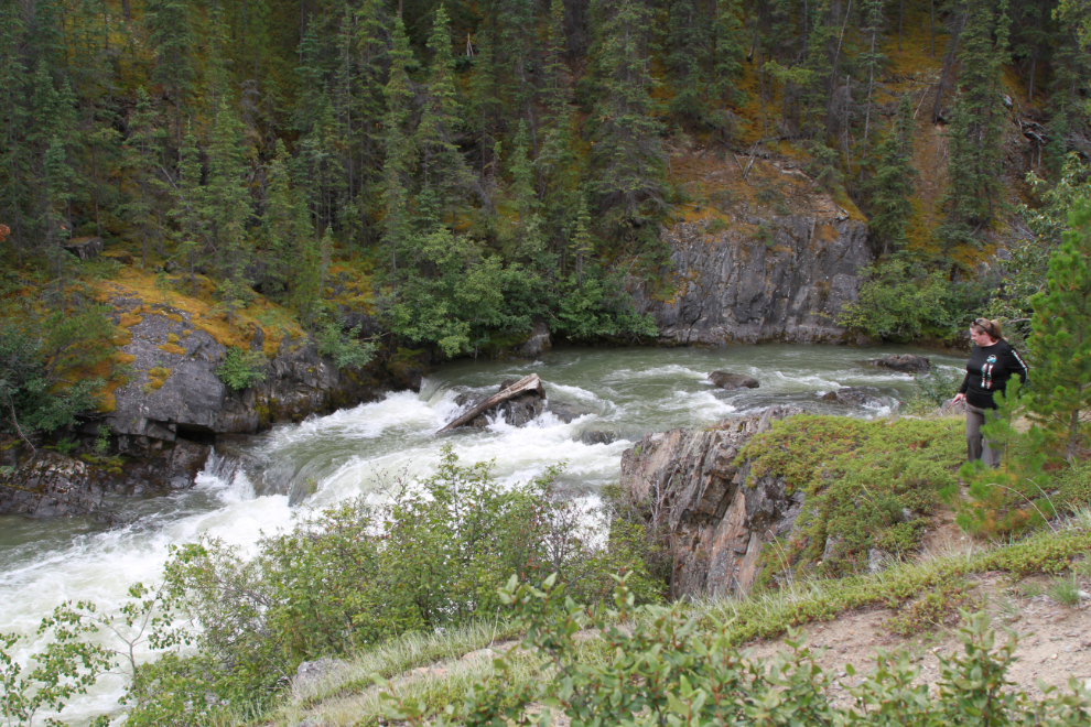
Karla chose not to follow me down the very steep slope to the bottom of the falls, but got a couple of photos of me going down and setting up my waterfall “selfie” there.
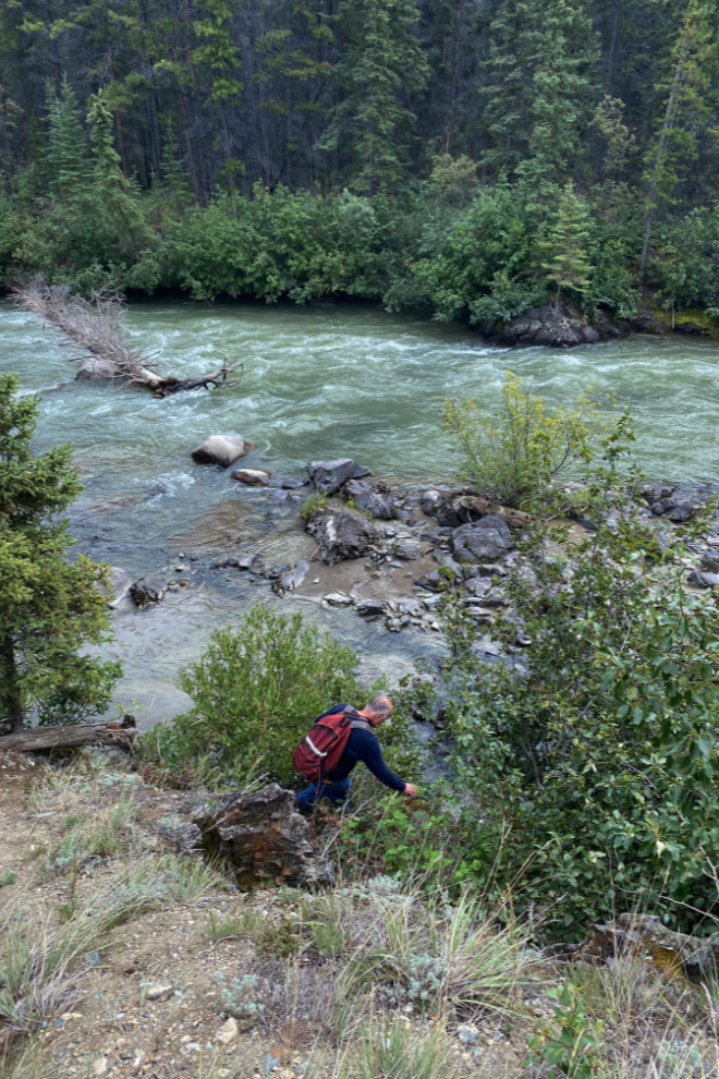
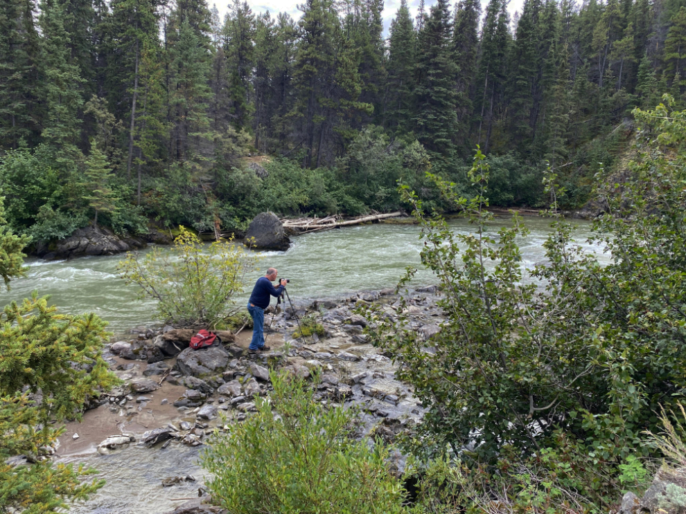
The day had warmed up much more than either of us had expected, and though it was much too warm for that gear, it was all I had.
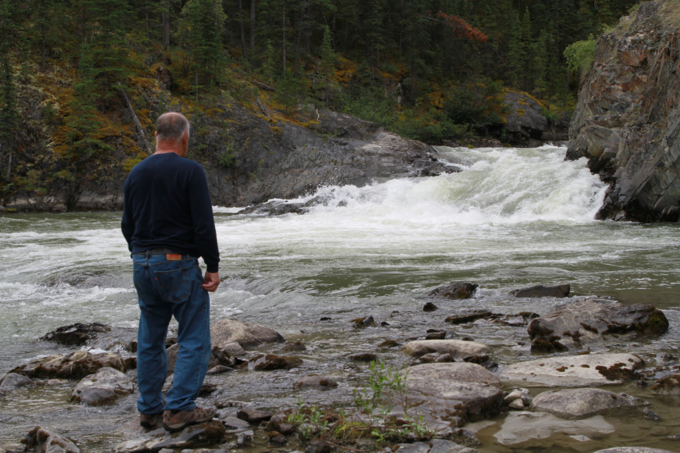
It’s a lovely spot, well worth that short walk.
We didn’t stay long – by 2:45 we were back on the rail line.
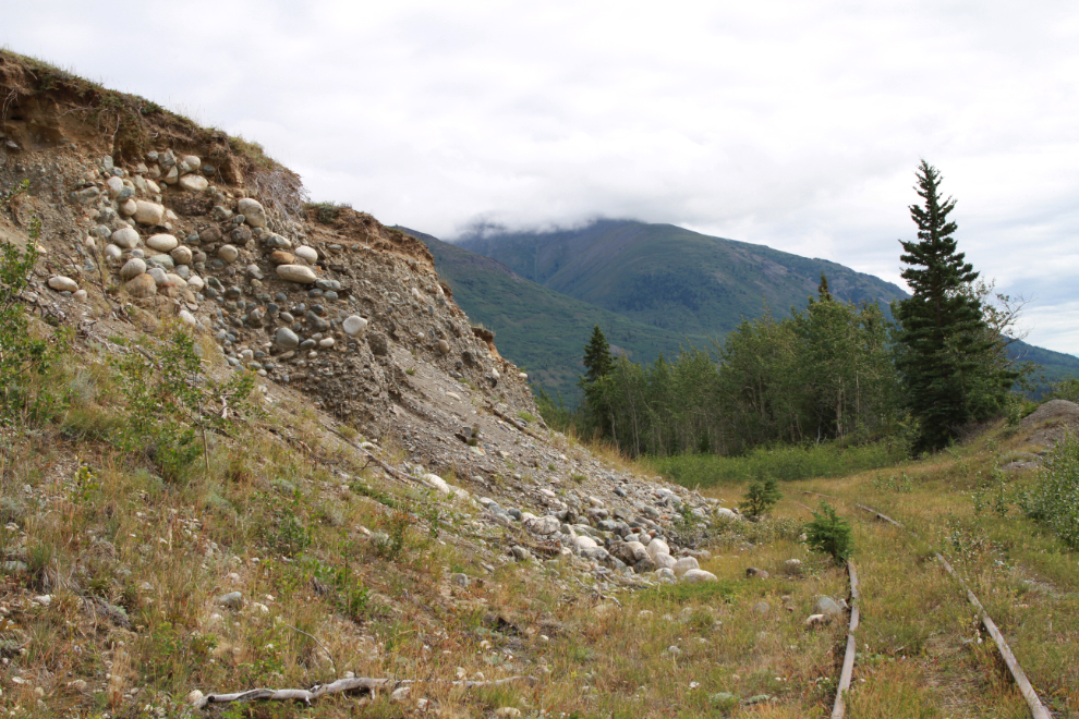
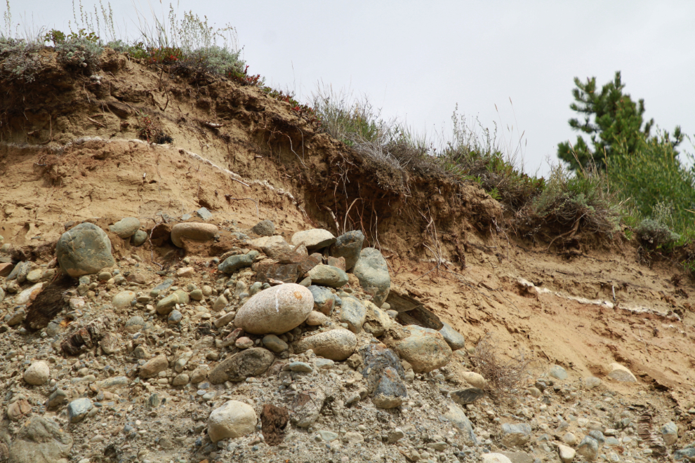
The bank above the railway there provided a little lesson in the geology of the past 10,000 years, with an old river bed from the retreat of the glaciers that once filled this valley, and a layer of white ash from a volcanic eruption in southeast Alaska about 850 AD.
For much of the way back to the car, we walked on the road – the next photo was shot looking back to the north at 2:55.
At 3:05 we were back in the car and started the drive home. The total time away from the car was an hour and 40 minutes and we walked 3.16 km – an excellent mini-Adventure, exactly as planned. You can see my Strava record and map of the walk here.
What a great spot…lovely waterfall. Looks like that woods road would make a great little trip on the E-bike too. (and easy for the fur babies as well) The geology lesson and the first google photo showing all the old bends in the riverbank was very interesting. Glad to see you out and about – and thanks always for sharing your day.
Thanks – as always – for joining me on my Adventures 🙂
Good day Murray, thanks for the mini Yukon adventure, Waston River system wasn’t in the bare bones tour guide book we used to inform the tourists during there mini tours of the Yukon, keep it briefly interesting and let’s get to the lunch stop driver, unless they were German and hiking they would go, Dear Waston very Skookum mini adventure eh 🇨🇦👍🇨🇦
Thanks, Paul. This would have been a great little hike for our Germans, but you’d have a hard time getting them back on the damn bus!