More WP&YR railway exploring – by e-bike this time
I finally got out on an adventure worth sharing yesterday, exploring 7.8 km of the long-abandoned White Pass & Yukon Route rail line from the Lewes Lake Road to Bear Creek. Much of the line is in terrible condition, difficult to walk, much less ride a bike, but this fills in the blank spot between two other exploratory rail-line walks in this area, in the early Fall of 2020.
There are 35 photos in this post.
With summer fast coming to an end (the temperature was 2°C/36°F yesterday morning), the need to get out was getting urgent. On Monday I went up Mt. McIntyre but it was too windy and cold up top to ride – even walking wasn’t pleasant.
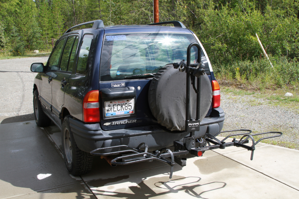
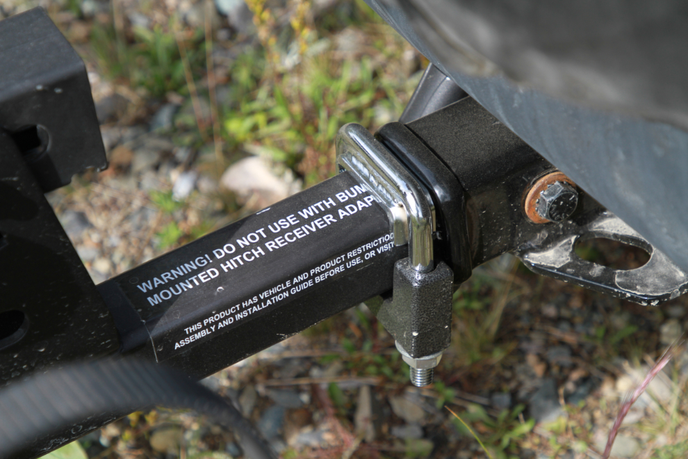
I’m going to start this post with a bit of background on getting the bike out to distant trails. the first step was getting a class III receiver hitch on the Tracker so I don’t have to borrow Cathy’s Jeep. That hitch is what’s required for our Hollywood bike rack (which gets 10/10 from me). My favourite U-Haul dealer nearby was able to get the hitch I found (made by Curt), and after a few issues installing it, here’s what it looks like.
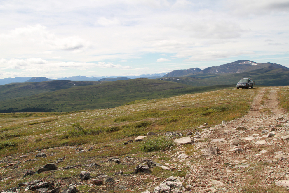
With a nice day forecast, I headed up Mt. McIntyre (“Mount Mac”) 2 days ago. In the first photo, I was nearing the uppermost of the 1960s copper mine “glory holes.”
The view back down the road towards Whitehorse.
This used to be the spot where most vehicles had to quit, but runoff from 2 years of extremely heavy snows have created a few sections far below this that stops them now.
Just after noon, I parked just past the air navigation system at the summit, intending to ride the bike from there on countless miles of old road. However, there was a screaming south wind and it was very cold. It was unpleasant even to go for a short walk. I had a nap…
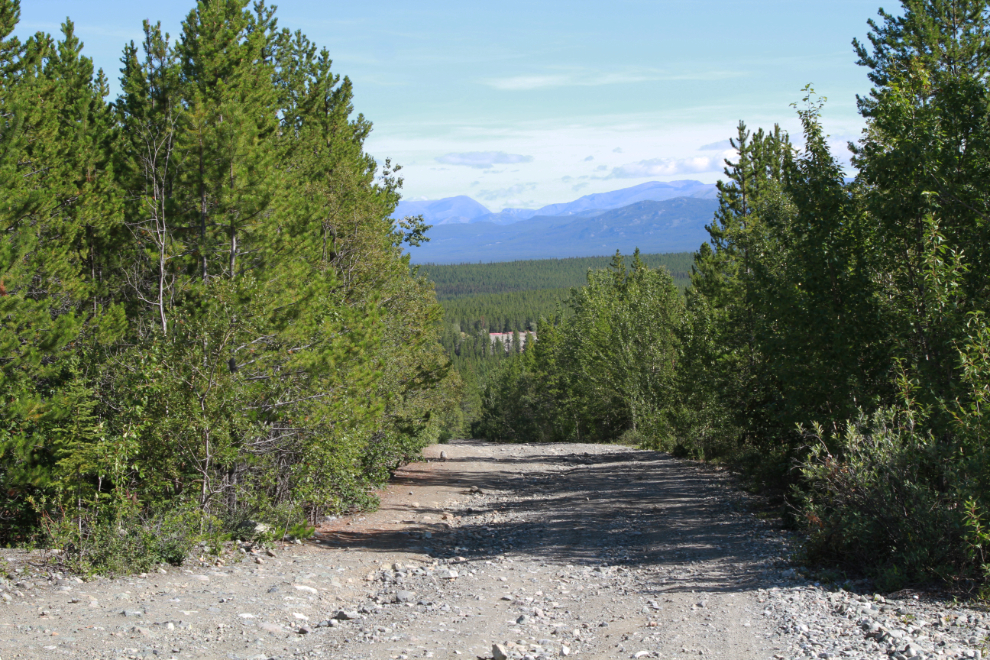
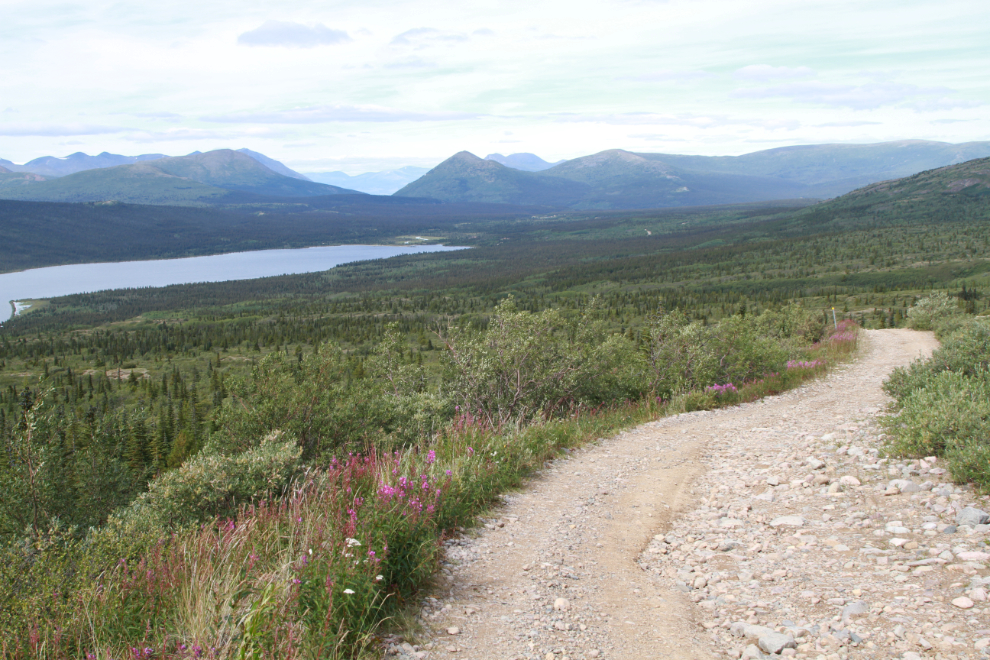
When I woke up, I decided that there was no option but to quit – I simply didn’t have the clothes or the will to ride in conditions like that. Oh well, it’s a great drive anyway – this view over Fish Lake is unbroken for a few km going up and down.
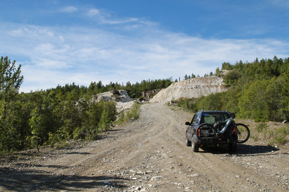
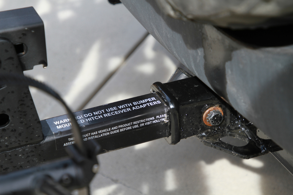
This outing on a very rough road made it clear that a weak spot in the system needed to be fixed right away. That weak spot is the hitch receiver, which has far too much play with a heavy bike rack on it. Watching the rack sway dramatically was quite unnerving.
Luckily, the solution is simple – an anti-rattle hitch clamp, $52 at Canadian Tire.
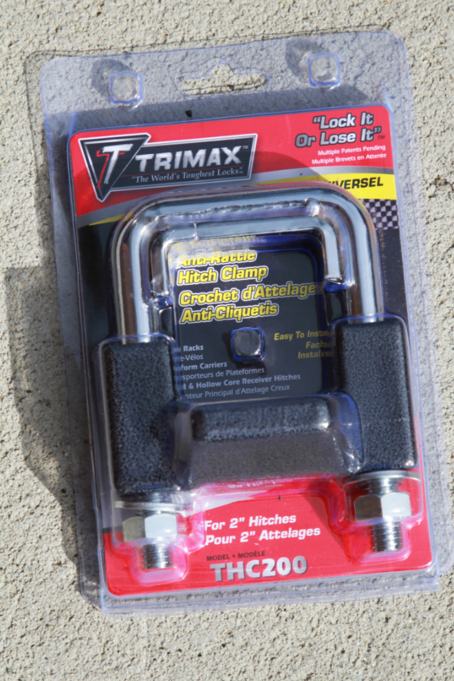
Two bolts and it was done – as solid as if there was no joint, with no movement at all.
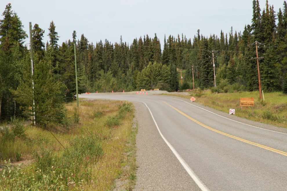
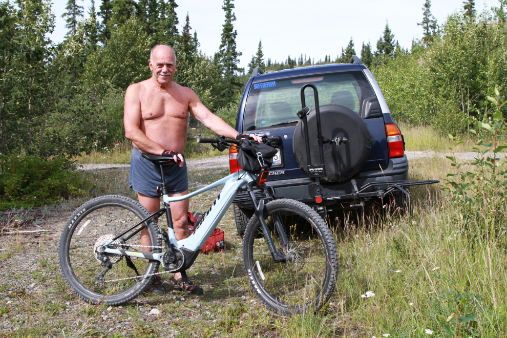
Okay, that finally gets us to yesterday’s adventure. At noon I was ready to start the 35-km drive south to the railway crossing on the Lewes lake Road.
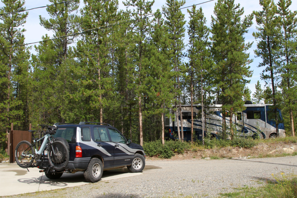
1:10 pm – almost ready to go. The e-bike is a 2021 Giant Fathom E+ Pro. I turned my bike computer on at 1:15 as I departed, so all times from here on are based on that – the computer is a Garmin Edge 830.
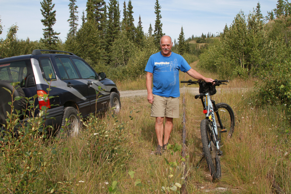
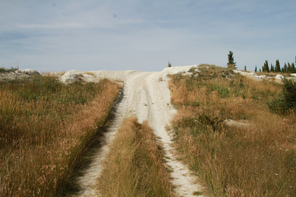
Five minutes north along Lewis Lake (almost always called Lewes Lake now even though it’s not correct). The ATV trail to the left runs the length of the lake and then fades out.
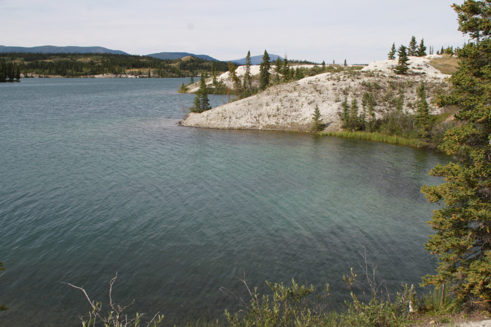
1:26, with wonderful views of Lewis Lake with its mountain background beginning.
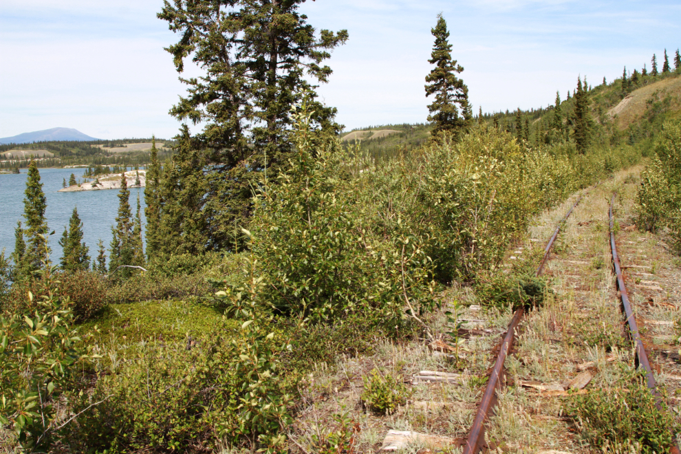
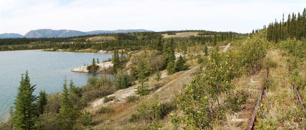
This 2-photo panorama shows the best view of the day, at 1:36.
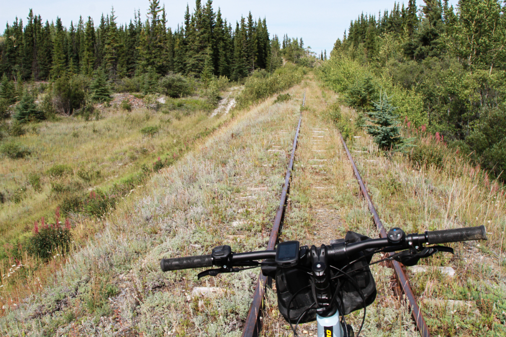
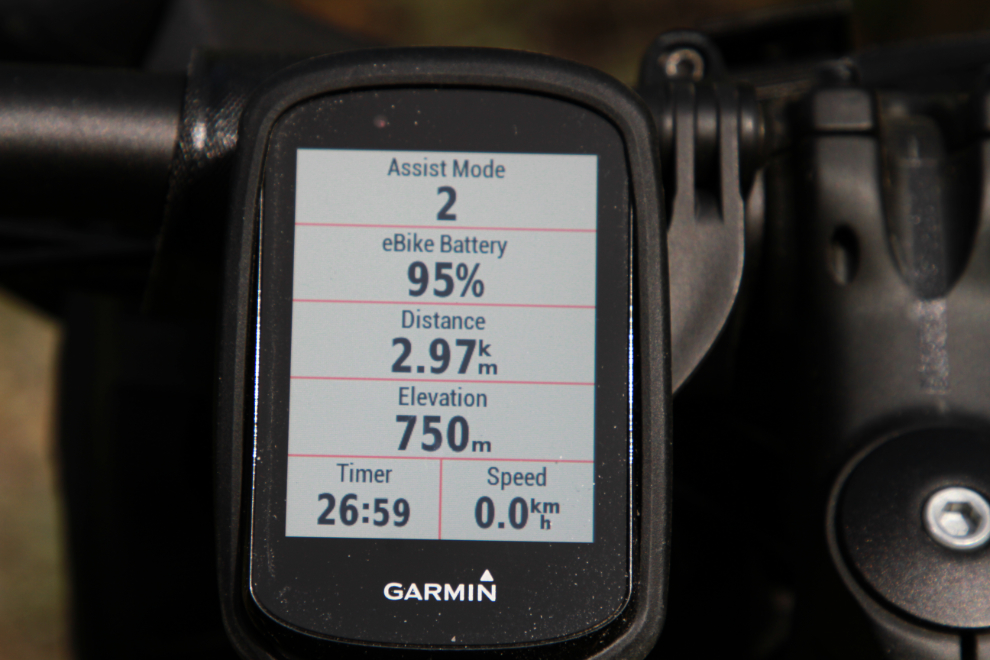
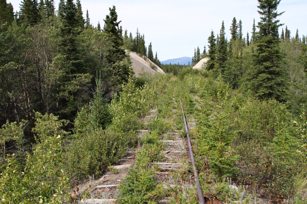
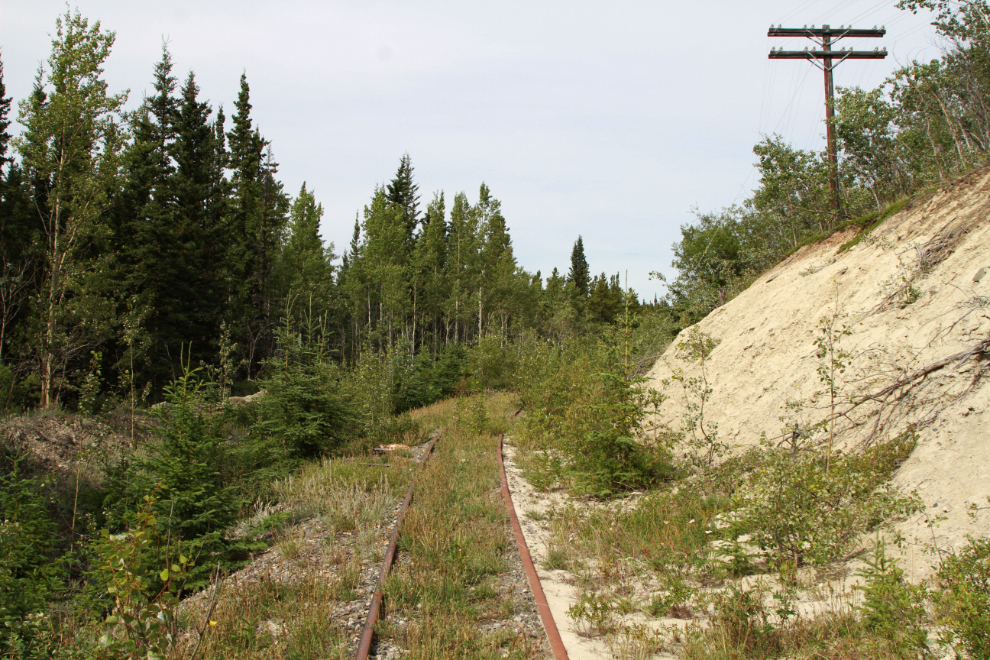
Five minutes later, I reached MP 85. This photo looks back to the south. I had been riding the bike a fair bit at this point, only walking it through some section where the ties were too far above the fill to be comfortable.

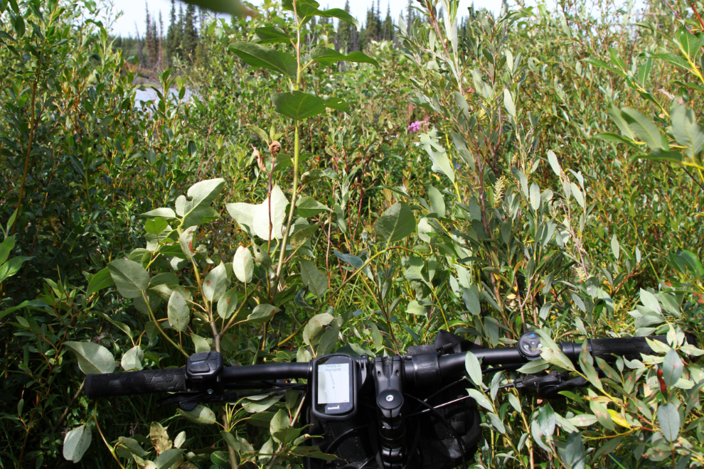
This was the information the primary screen of the computer gave me at that point.
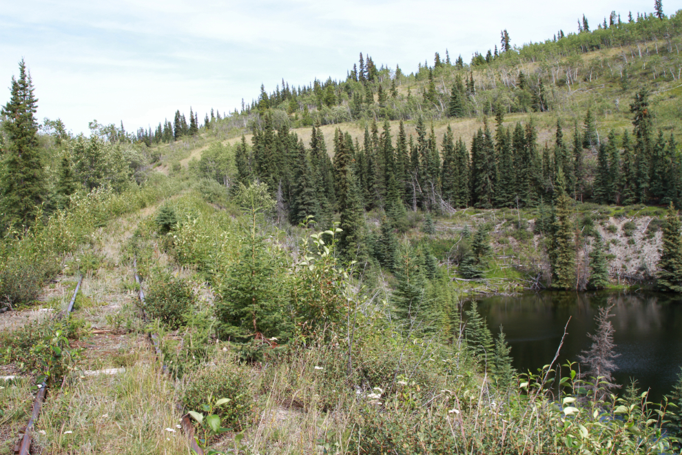
At 1:44 I came to this little pothole lake, perhaps a post-glacial feature.
Very deep fill (ca. 70 feet) was required to cross this ancient river channel at 1:47. It was here that I noticed that my bear spray was gone, obviously bounced out of its holder on a bump. Beyond the safety issue, those things are expensive. I walked back for a bit but no luck.
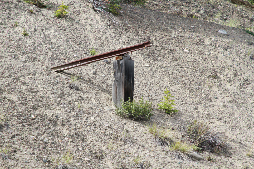
High on the bank of the cut seen ahead in the photo above, about 40 feet above the rail line, is this post and rail. I have no idea what its purpose may have been.
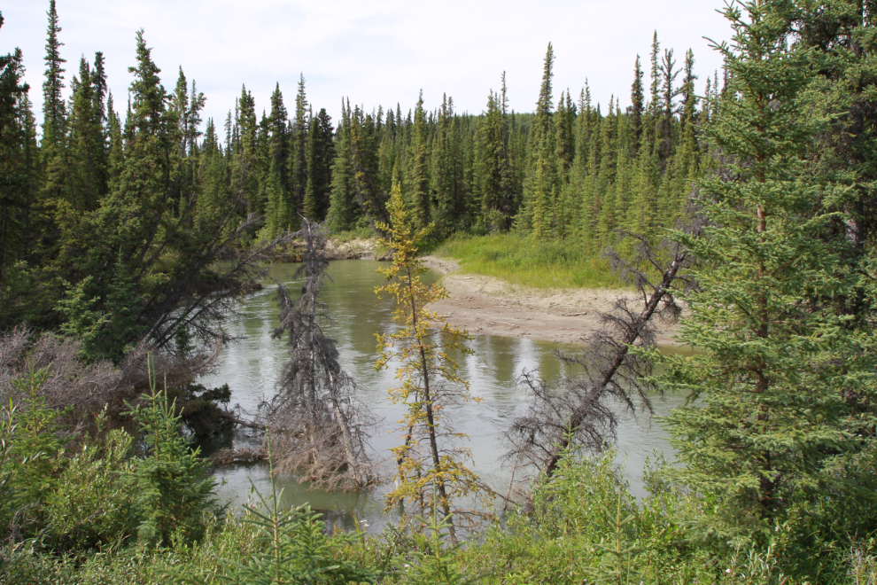
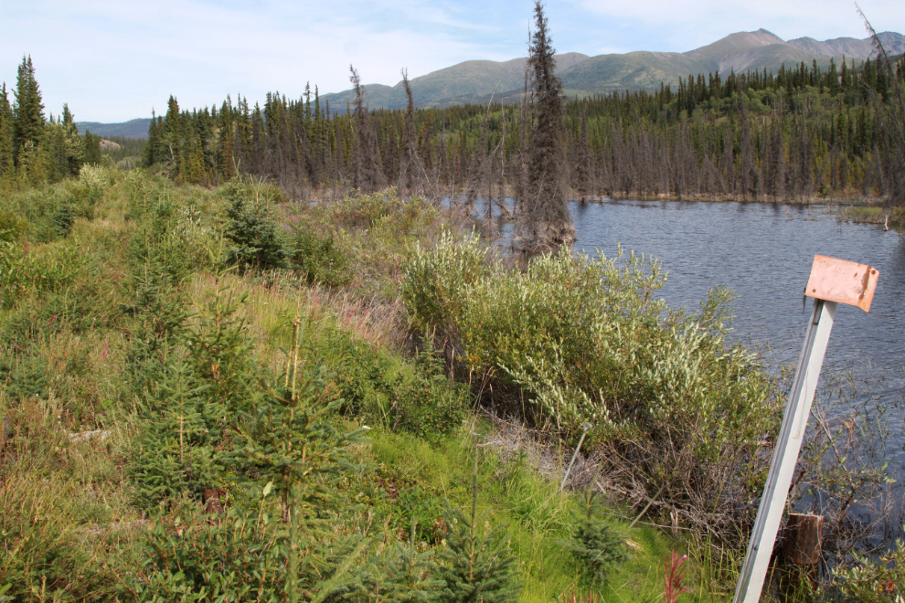
Right at 2:00 the rail line meets the meandering Watson River, which empties into Lake Bennett just north of Carcross, and whose silt was a major component of the huge beach there, and the famous Carcross Desert.
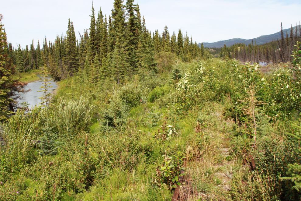
It’s quite a lovely stream at this point, but I don’t think anyone canoes it.
This is what that spot looks like on Google Earth, with the Watson River to the left, the rail line in the centre, and the South Klondike Highway to the right. I don’t know what the black line to the right of the railway is – it’s not a physical feature.
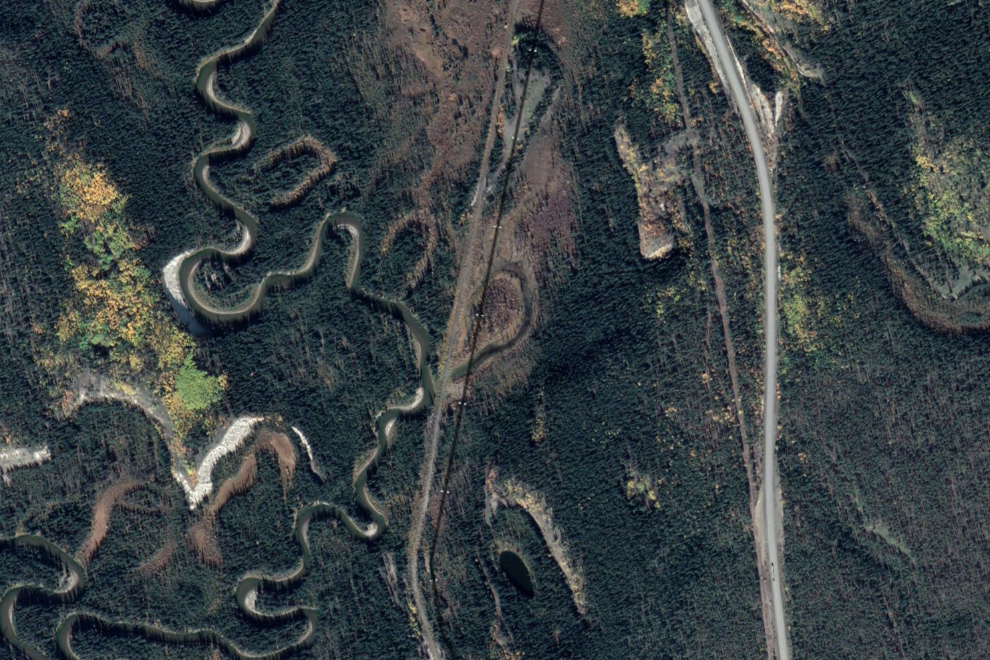
A hundred meters or so past the river meeting, I reached MP 86. By this point I wasn’t riding much anymore because of the trees and brush growing on the railway grade 🙁
By 2:07 beaver were making going wet and ugly by making the railway grade part of their dam system. I was now 5.08 km from the start of this ride/hike.
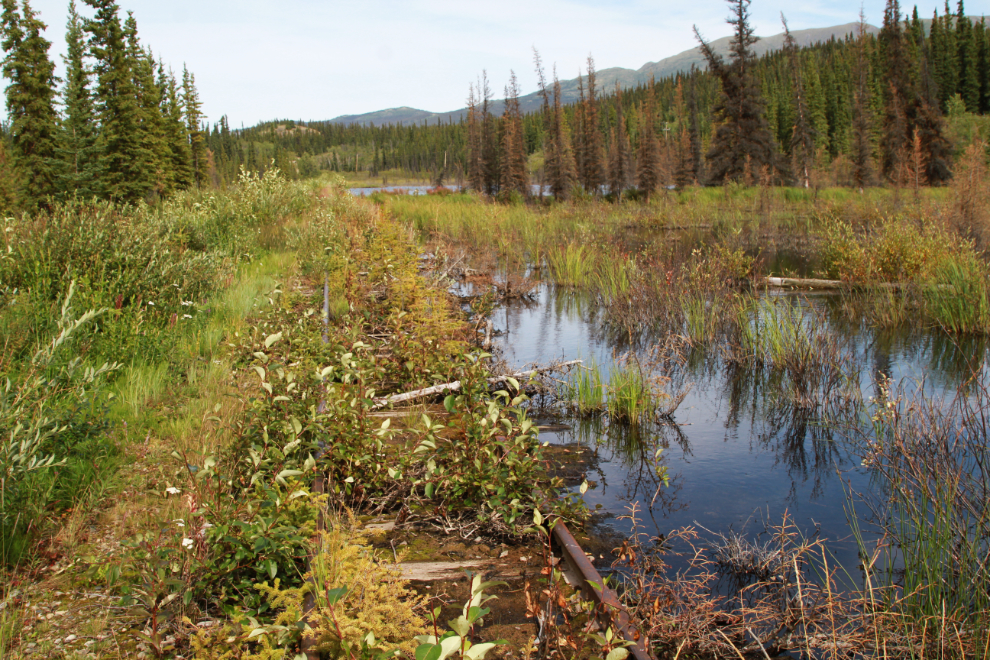
The railway was soon underwater – a rail can be seen just to the right of the bike in the next photo. Just ahead of this point was the furthest south I went on my exploratory hike of the rail line on October 1st, 2020 – see “Exploring along the WP&YR railway at Rat Lake, Yukon“. My comment as I turned back that time was “This is as far south as I walked. That view makes me want to walk the entire 112 miles of the line.” 🙂
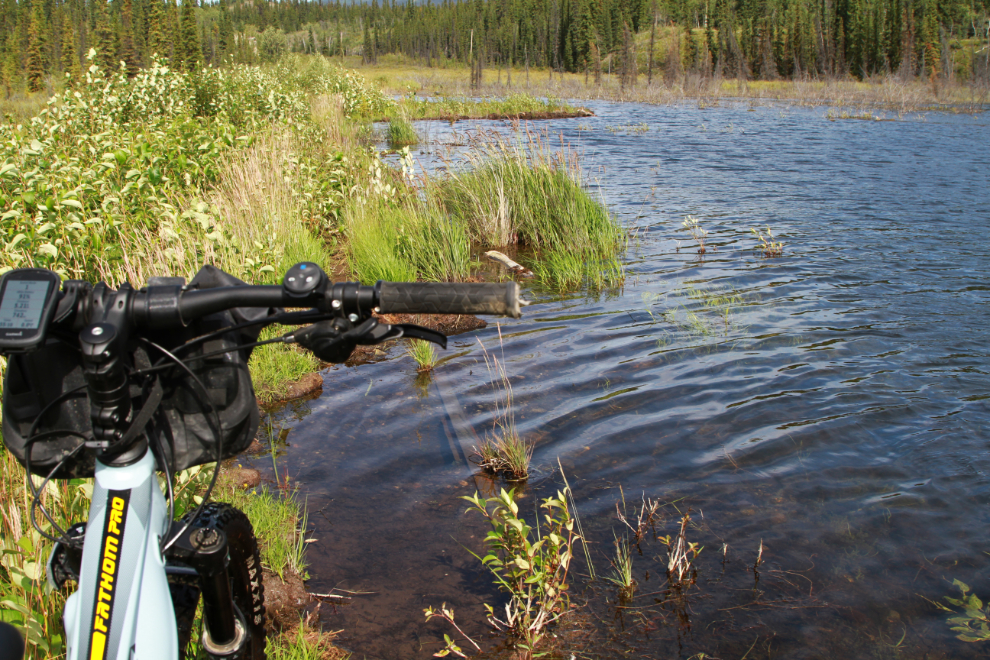
Well shit! I knew that this couldn’t go on for long, but it was a very difficult 200 meters or so. The water level of the beaver-enhanced lake here was about 10 inches above the railway grade. This is a good example of why I pretty much alway explore alone – I’d feel really bad about getting anyone else into this 🙂
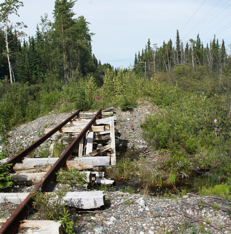
At 2:25 I had to navigate across a little creek that used to be crossed by a bridge.
Two minutes later, I reached MP 87. The end of my planned – no, hoped-for – route wasn’t far ahead now.
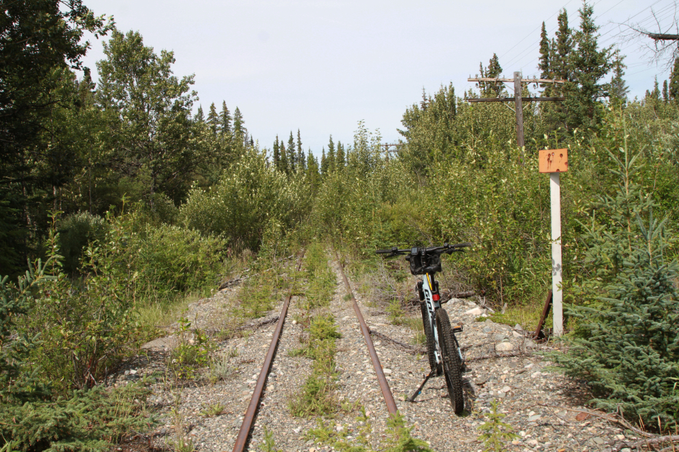
One of the “sidings” that was used to move motorcars onto when trains were coming.
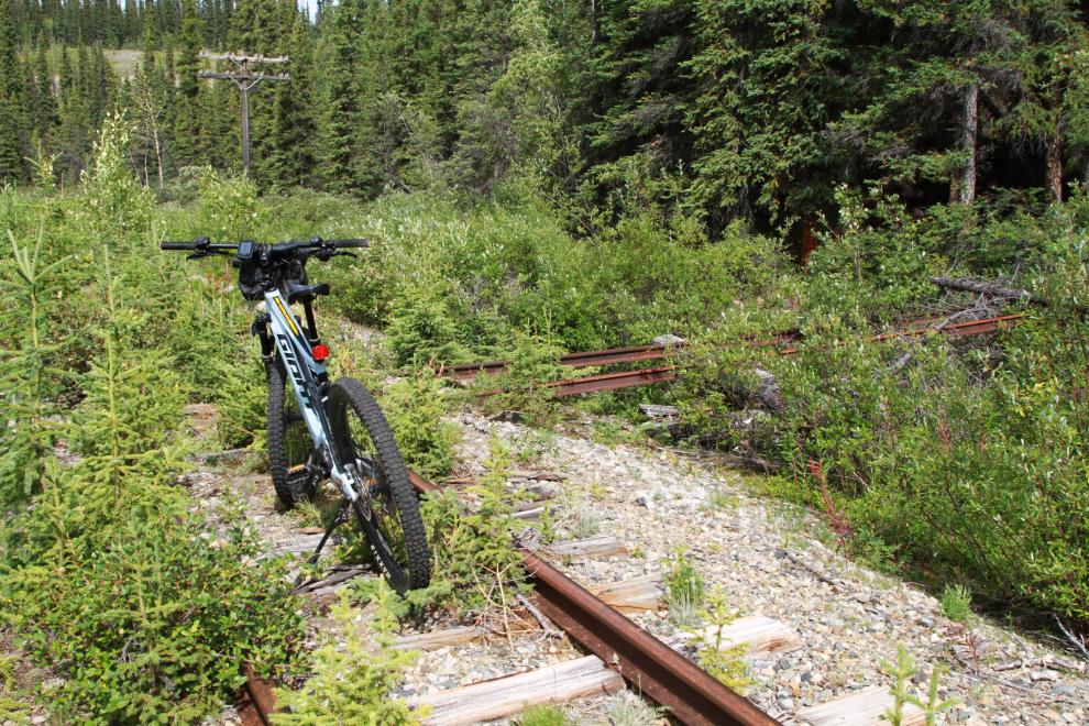
Along the climb up from Rat Lake, at 2:41.
At 2:50 I left the railway grade and climbed a bank to the highway. The next photo was my view looking north to some bridge work at Bear Creek. The highway/road route back to my starting point was much longer but obviously much easier. I didn’t take any photos along the highway. I hadn’t noticed any wind on the rail line, but it was sure screaming on the highway – a head wind of course (isn’t it always? 🙂 ).
Arriving back at the Tracker, I decided to keep going to Lewis Lake for a look around. That look didn’t last long – I quickly realized how tired I was.
The End! At 4:04, with 22.57 km on the computer. A pretty fine day. You can see a map of my route on my Strava page. My summary of the route there is “This was an exploration of that 7.8-km section of the rail line, never to be repeated. Much of the line is in terrible condition, not even fit for walking, much less riding.” 🙂
Since it’s now been exactly 2 months since my last post about an Adventure, I’m going to finish with some comments about the health issues that have turned my once rather prolific posting (this is post #1,483) into a sporadic and uncommon thing. Most of you will leave now – I hope you’ve enjoyed that trip up the railway.
I hope to be up Mount Mac again tomorrow on a warm no-wind day, so perhaps I’ll be able to tell you about that.
My lack of posting is largely because I’m trying to follow Thumper’s advice: “If you can’t say something nice, don’t say nothing at all.” I’m simply not having much fun. My dementia continues to progress. Even my most cherished memories – of life with my kids, my dogs and cats, my friends, even my wife – are gone. Many people are gone from my memory as well – I regularly get messages from people who seem to know me but I have no idea who they are. Sometimes I recognize a name but can’t put them into context. While I retain some general concepts, details are limited to what I have photos of – I can barely imagine what life is like for people suffering through this with no photos to show them what their life was like.
Everything I wrote about this outing came from the 69 photos I shot – I can tell you nothing about what happened between the photos.
Social interaction gets more and more difficult. While I used to really enjoy going out for a nice meal, that’s all but impossible now. Regular conversation puts me to bed to recover after an hour, perhaps two – any background noise can cut that to an hour at the most but usually much less.
With two naps and a few breaks, I’ve been writing this post for almost 9 hours now. Writing a post like this is only possible because I write once or two sentences about a photo – writing or reading any more than 10-12 sentences isn’t possible. I’m unable to read the post now to catch any typos or errors. I’m very tired and have a headache, and Tucker says it’s time to quit and go back to bed with him.
I hope you’re all doing well. Take care of yourself, and be kind.
It is wonderful that you got out, and took the photos and enjoyed in some ways the outing and a little adventure. All the other news surely seems bad and I (along with all your other faithful blog readers) can only hope that you persevere through these seemingly unending trials since your hiking accident. Keep at it and we will keep the faith along side you and hope for better days, good trails and more adventures. Thank you as always for inviting us along.
I found your blog some time around 2007 when we were going on our first Alaska cruise. I have thoroughly enjoyed all of your blogs and pics because I know I will never be able to travel to your neck of the woods and you have shown how beautiful the Yukon ( and other areas) are. Thank you.
Comment
Murray, I’ve been following you on your adventures for years. Thank you for taking us into your world and sharing its awesome beauty with us. Keep sharing what you can, when you can. You’re an inspiration.
Comment Hi Murray, You don’t know me, so don’t worry that you’ve forgotten me! I’m just one of many on facebook and so on. My mother has Alzheimers and is in denial about it. I value what you say about your memory issues because it helps me to understand my mother’s world and what she is probably experiencing. I appreciate your inadvertent advice about the importance of photographs to remind you of what your life was like if one does lose their memory some day. Dementia / memory loss is quite common, and yet there’s not a lot of advice coming from those experiencing it. So thank you. Man, you have done so much for the community. I guess it’s in your nature to share in a helpful way. Thank you also for your log of the exploration of the train tracks in the Lewis Lake area.
Murray; I am a bit of a ‘late bloomer’ to your blogs and YHAP but I am so glad I found your info and you. As a life long Yukoner, your efforts to record the history and facts of our 1st class home , brings me to mind of some other great tellers of the Yukon’s past, like Allan Innes Taylor{No relation}, Bill Macbride and Roy Minter……… Thank- you for past and on going dedication.
Comment
Hi Murray,
I have been following you for years,I call you ‘My Yukon Man’,it is great to read about your adventures.Living in South Eastern England,our trip to the Yukon and Alaska,thanks to a love of Jack London’s books,over twenty years ago,was our adventure of a lifetime.
Your photos and words are so enjoyable,they bring me back to that summer ,we toured so much of Europe,but nothing compared to sitting by the Yukon River. With very best wishes,Isobel.
I’m happy to read this post, and I appreciate you sharing all of it. ❤️
Thanks, Murry. I have really enjoyed riding along with you on Facebook.
We all live in rooms of experience that some may never enter.
And in true Murray Lundberg fashion, you share what you find in this room of missing pieces.
You may be forgetting some people Murray, but know we all have you in our thoughts.
Thank you for all you do Murray.
Thank you, Hessel. I really appreciate that, as I appreciate all your contributions at YHAP.
I’ve been reading your posts for about ten years. I stumbled upon your posts about Carcross. Having been there on an Alaskan adventure I continued to follow you. Your photography is engaging and give me wonderful feelings for the far north where I’m not going to live but will visit again. Do what you can. If writing from photographs help, do one a day. Your readers would be happy with even one photograph. For most of us one is a good adventure. Take care.
Thanks very much, Art. I appreciate your comments. Perhaps I do need to scale back, rather than stick with the usual “go big or go home.” When I began this blog 16 years ago, one photo was common for a post.
You are amazing, I’ve read your posts for over 15 years. I’d would sit in my office in Delray Beach, Florida and wish I was somewhere else and your posts would transfer me to all your adventures. God bless you. You have inspired more people then you can ever imagine.
Thanks, Patsy. I know that you were one of my earliest readers – I’m so pleased that you’re still interested 🙂
Boy oh boy, you are one indomitable personality. Knowing what’s going on with you makes me appreciate your blog post even more. Thanks for the picture tour. Well done.
Thanks, Barb. I add my health stuff so people don’t expect me to act or to be able to do some of things I used to do. As I was just about finished this post I got a query from a magazine wanting to do a podcast – preventing that sort of query is much easier than answering it.
Skookum as always Murray, you are a inspiration to any buddy who is lucky enough to be exposed to you and your adventures 🍻
Thanks, Paul.