Exploring along the WP&YR railway at Rat Lake, Yukon
Yesterday I went out for more exploring into areas I’ve not see before – the WP&YR railway at Rat Lake, and at Lewis Lake, both accessed from the South Klondike Highway. Since they were distinctly different experiences, I’m going to post about each area separately.
It’s rather funny that after driving by Rat Lake hundreds of times, and stopping to photograph it many times, I didn’t realize that the railway runs along the lake right below the highway, but thoroughly out of sight. I thought it was beyond the ridge to the west of the lake. When I made that discovery on Google Earth, it was time for a look. You can open an interactive map here
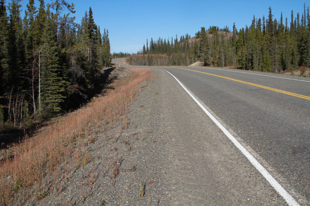
The shortest access to the Rat Lake section of the railway is on an abandoned section of the highway at Km 137.3, just south of Robinson. The shoulder of the highway is just wide enough to park on there.
The next photo shows the fairly steep drop from that old road to the railway, about 70 feet vertical.
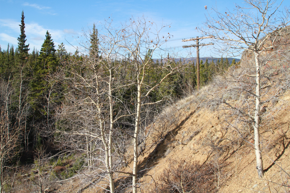
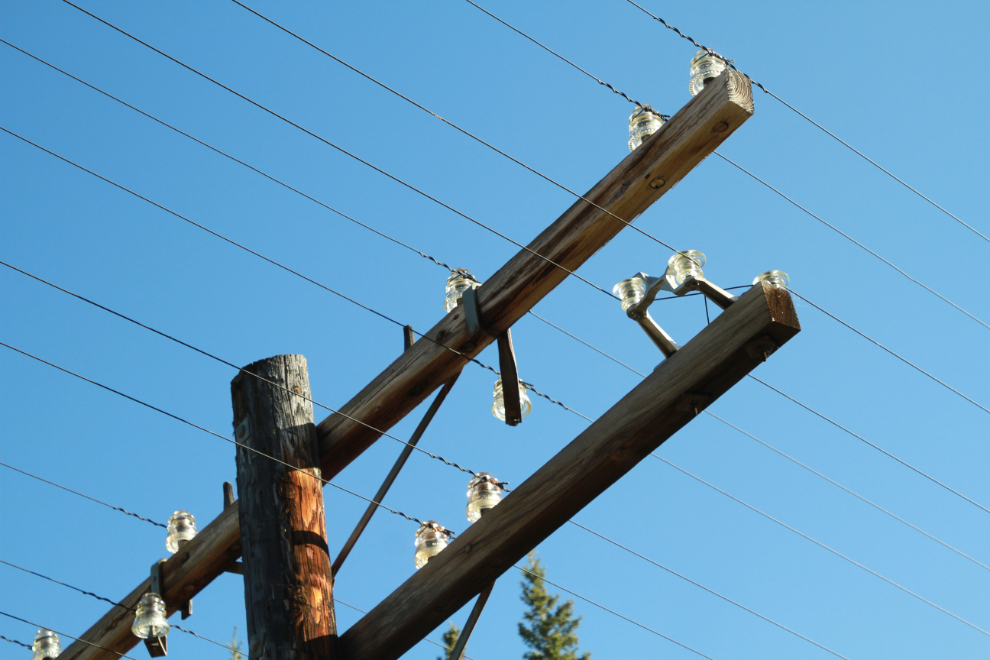
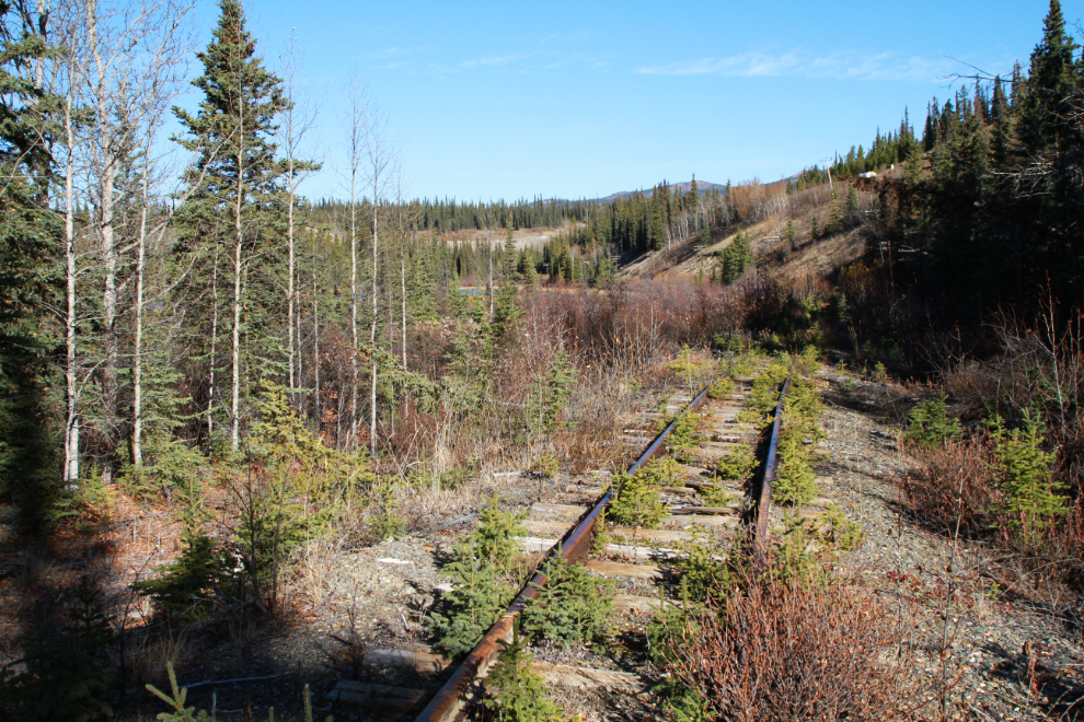
This is one of the most original sections of the railway left. The telephone/telegraph line has been removed from most sections.

They’re removed because birds fly into them, and when they fall, as many are doing, they’re dangerous for animals as well. For me, their presence adds a lot to the character of the line, though.
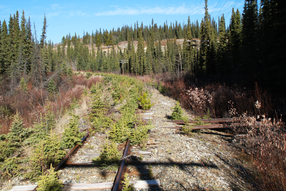
Looking back to the north, with one of the “sidings” on the right to move motorcars onto when trains are coming.
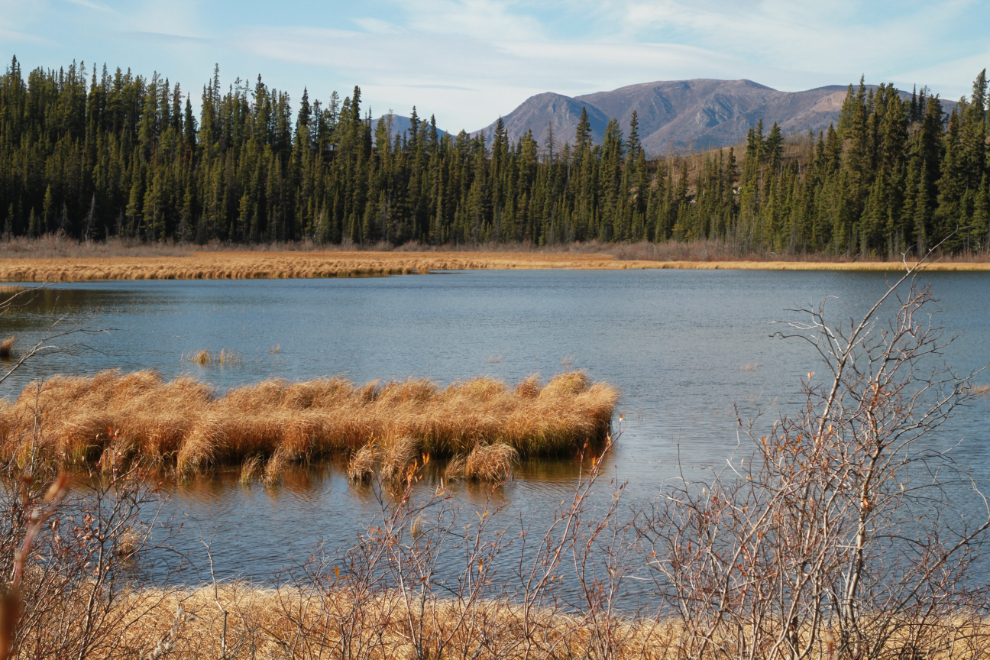
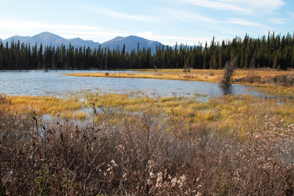
A closer look at Rat Lake than I’ve had before. The name comes from “muskrat,” as this used to be a popular place to trap them.
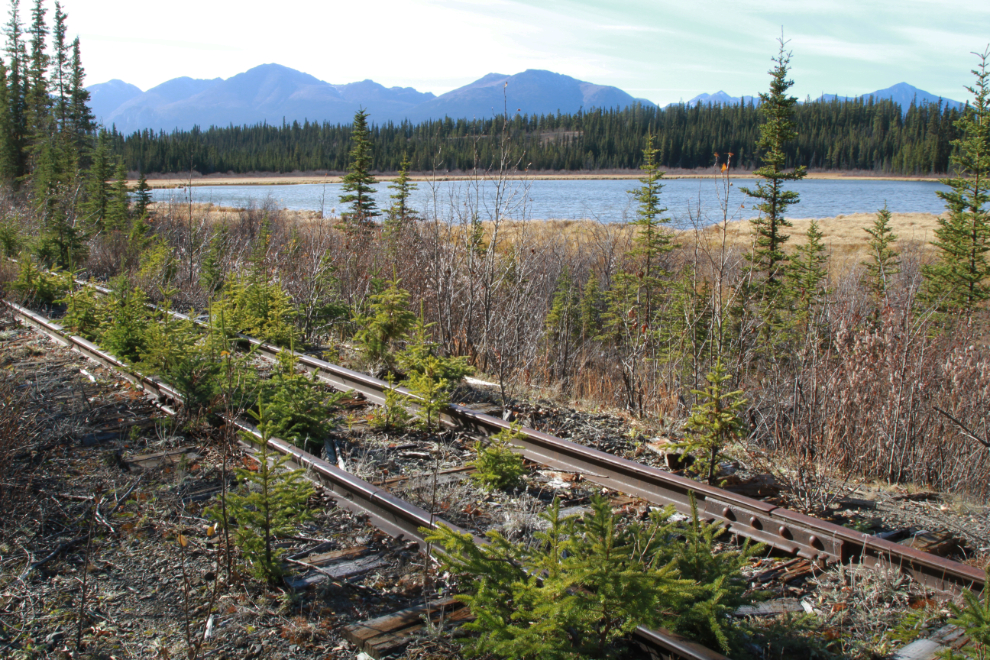
Rat Lake is quite lovely from this angle 🙂
Looking back to the north again, a truck can be seen above and just to the right of the tracks. So if you look at just the right time and place, the railway can be seen from the highway for a second.
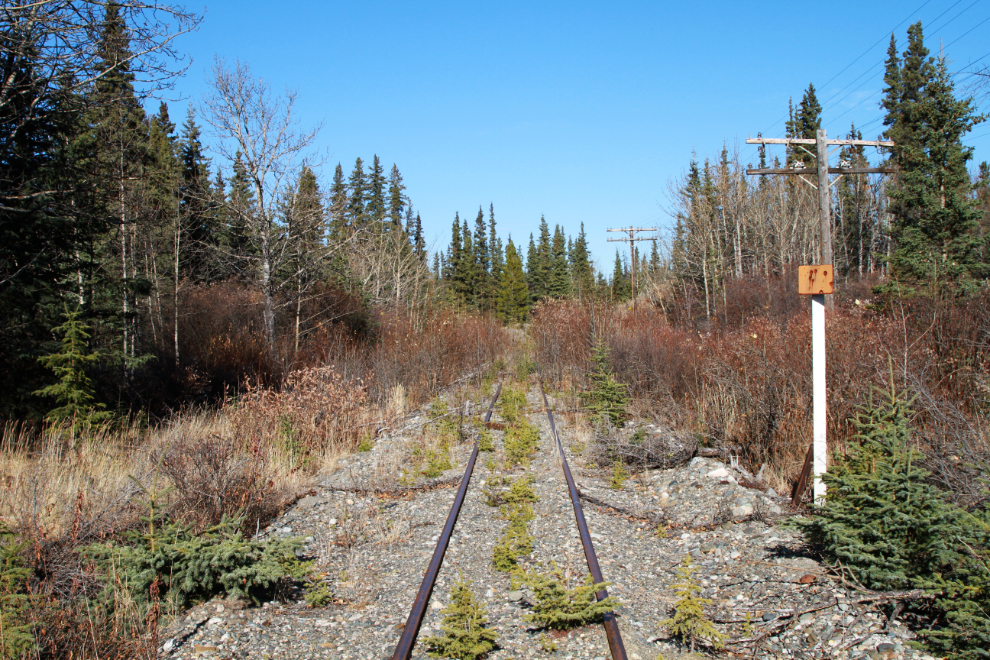
The sign is barely legible on either side, but this is MP 87 (milepost 87 of the 112 miles of the railway).
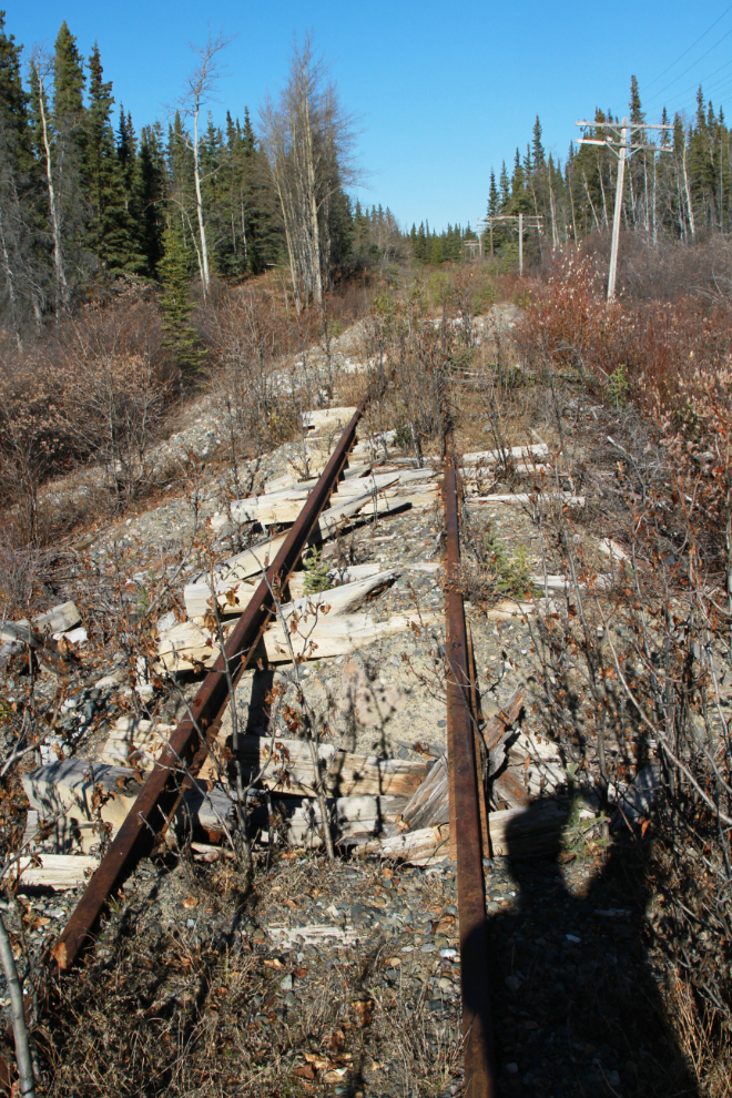
Just south of Rat Lake, this small bridge has been completely washed away, leaving the rails hanging in mid-air.
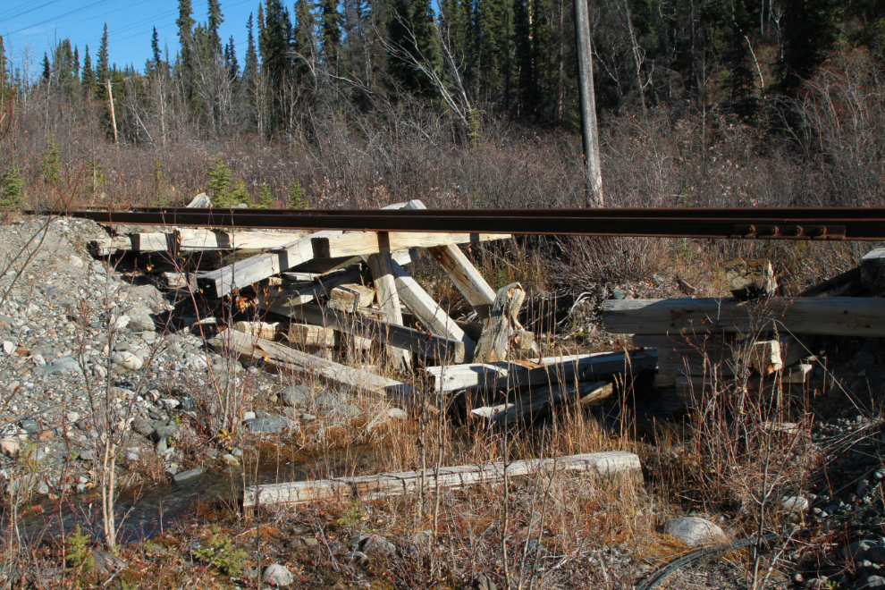
Further south, more water damage to the line.
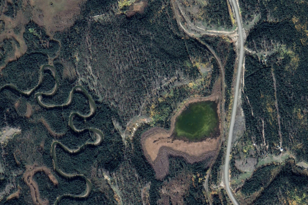
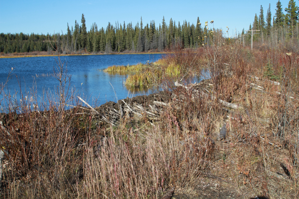
The lake in the next photo was a surprise – it doesn’t show on Google Earth.
The lake doesn’t show on Google Earth because it’s new, created by beavers who have built a dam right on the railway. The water level is a few inches above the tracks.
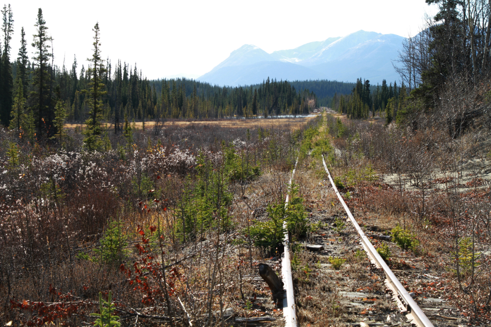
This is as far south as I walked. That view makes me want to walk the entire 112 miles of the line.
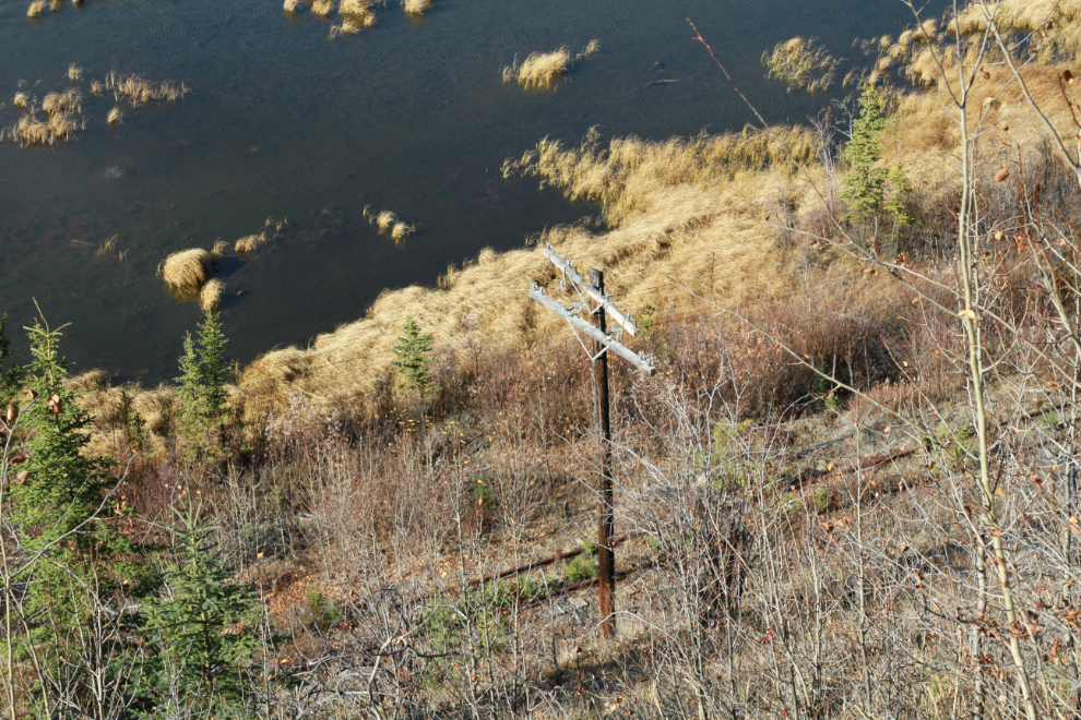
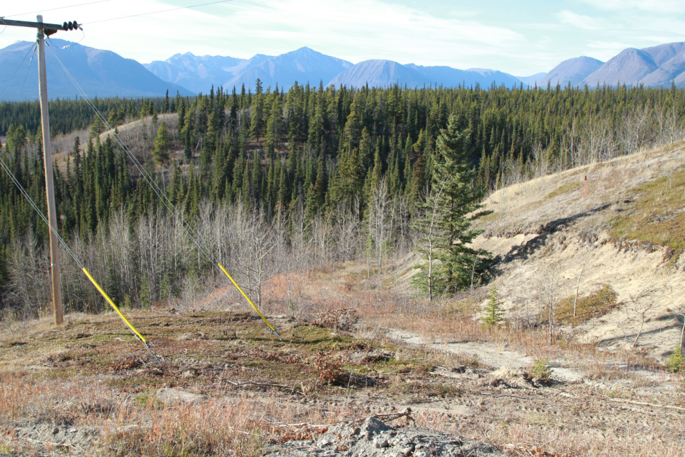
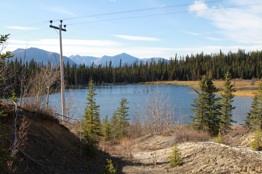
A couple of hundred meters back from where I turned around, I saw an old cat road that looked like it would give easy access to the highway. The next photo looks down on the beaver lake from that road, which may have been pushed in to build a new powerline about 15 years ago.
I climbed back up to the highway at Km 136.1 – just over a kilometer from the car. You might notice that there have been no photos of dogs. They didn’t get to come today – I’ll explain why in the next post.
From the edge of the shoulder of the highway, the rail line can be seen running along Rat Lake.
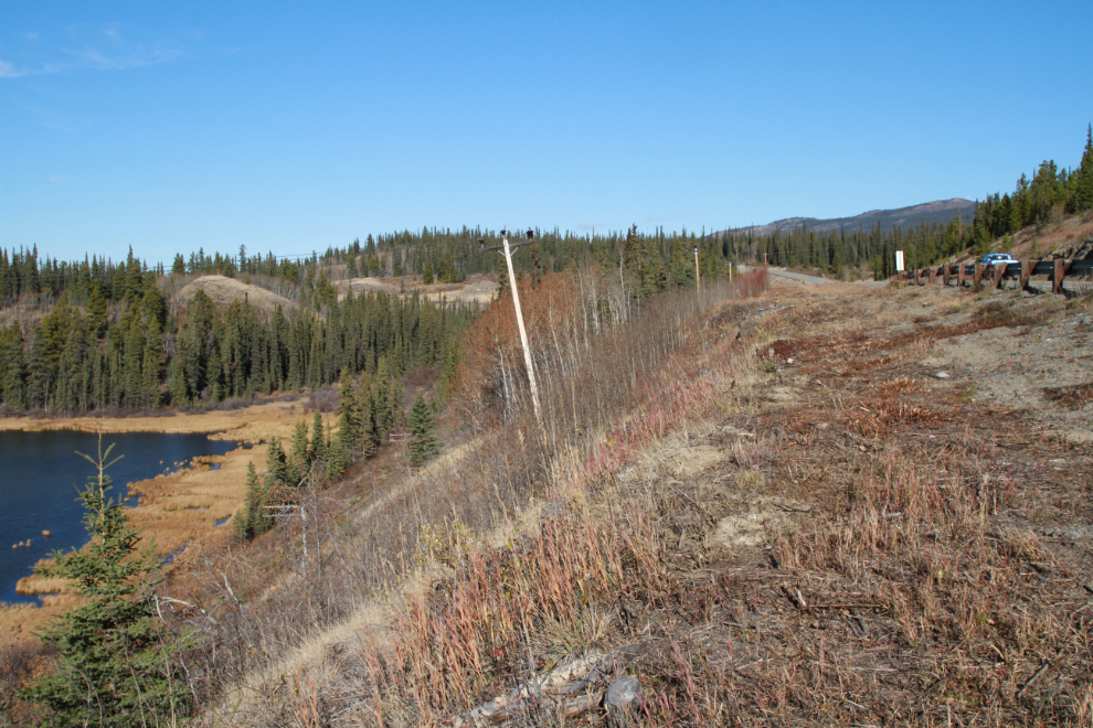
One more shot of Rat Lake and the railway, and now I’ll move on to Lewis Lake.