Exploring more of the WP&YR railway at Lewis Lake, Yukon
My plan for Thursday (October 1st) had been to explore the WP&YR railway at the south end of Lewis Lake (Lewes Lake to many), but I got side-tracked and did a walk at Rat Lake first.
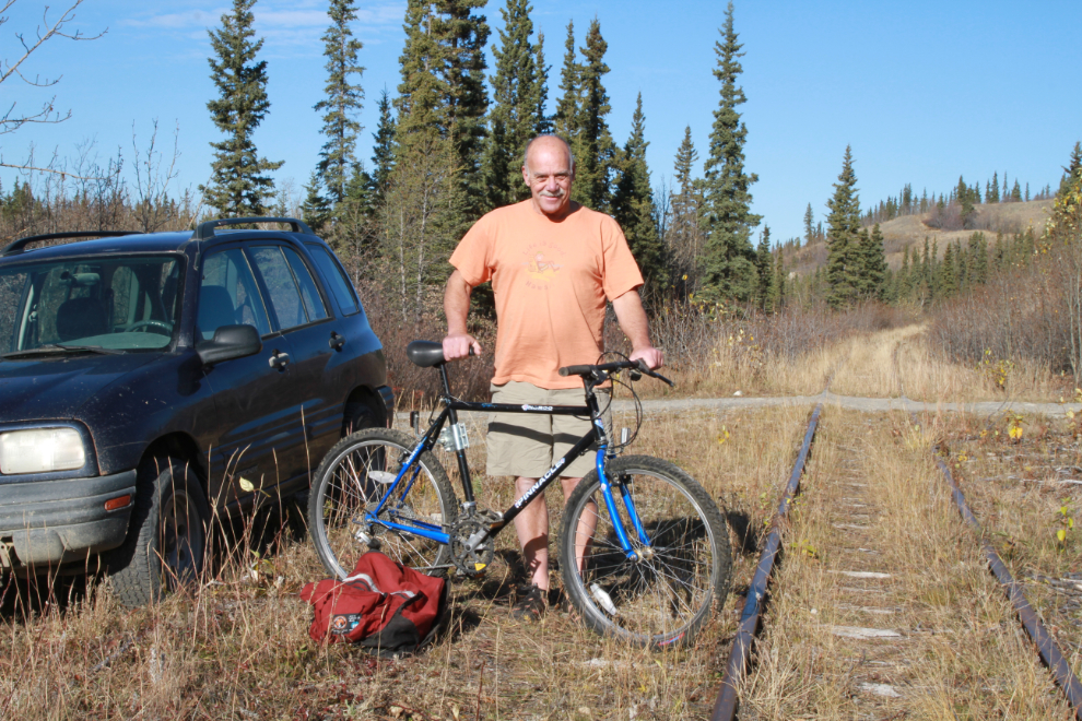
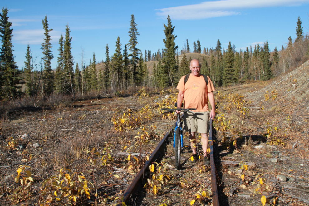
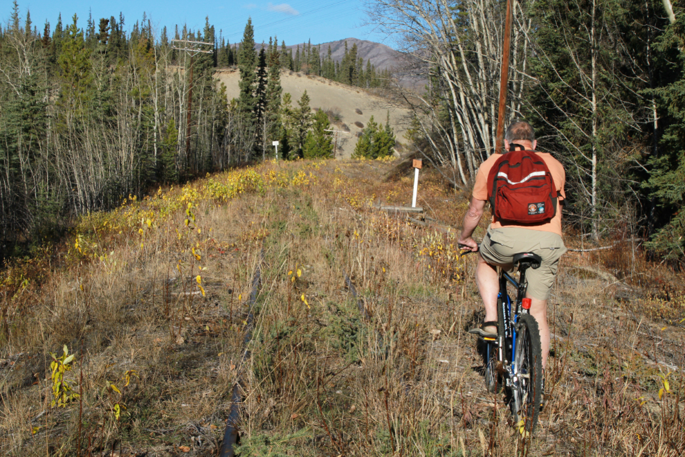
Just before 2:00, though, I was ready to head south along the railway from the Lewes Lake Road crossing. Taking the bike was a first for me, but it was to be a test of the idea that an e-bike might be a great new way to see the country. The test was not only whether a bike would be a good addition, but also whether I’m physically and cognitively able to ride yet. Two weeks ago there was no question that I wouldn’t be able to, but it’s been an amazing 2 weeks in terms of my recovery.
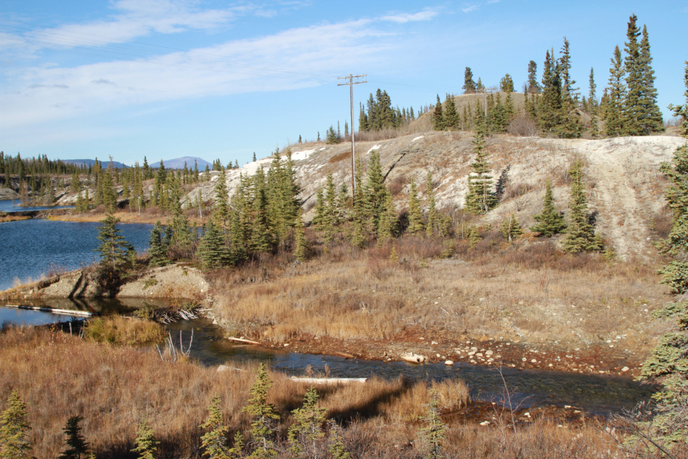
The forecast for the day was for sunshine with a high of 14°C (57°F) – a fine Fall day to spend here. Lewis Lake is a unique place, with no or minimal vegetation on much of the lake-bottom silt that was uncovered when railway engineer A. B. Lewis failed to take erosion into account in his plan to lower the water level 10 feet in order to get a better grade. On September 14, 1899, Lewis’ ditch resulted in a massive flood, and 2 huge bridges had to be built to cross the resulting canyons. I wanted to see what remained of those bridges.
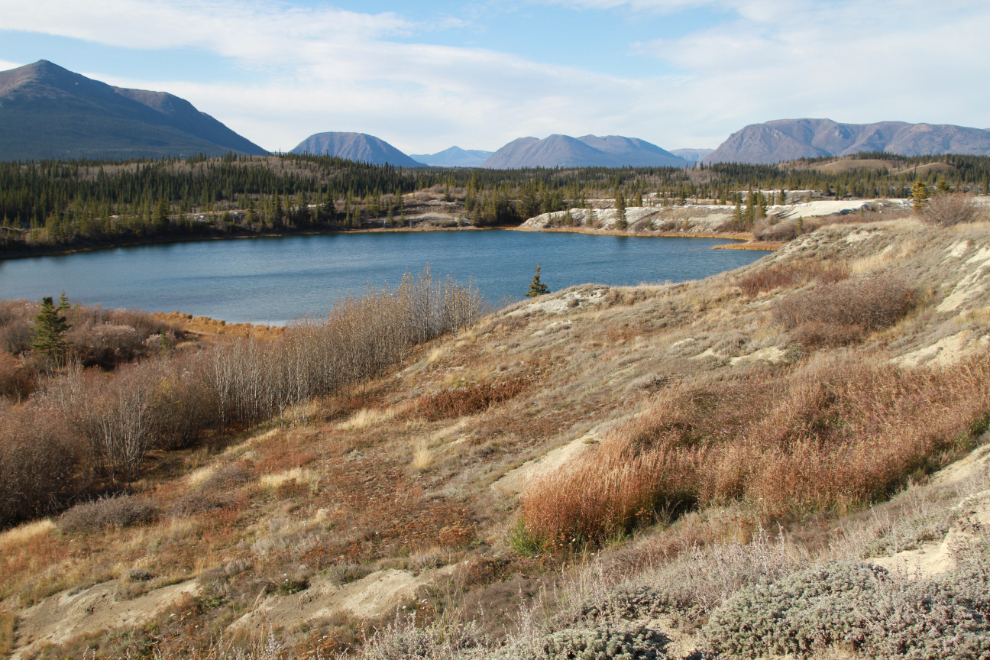
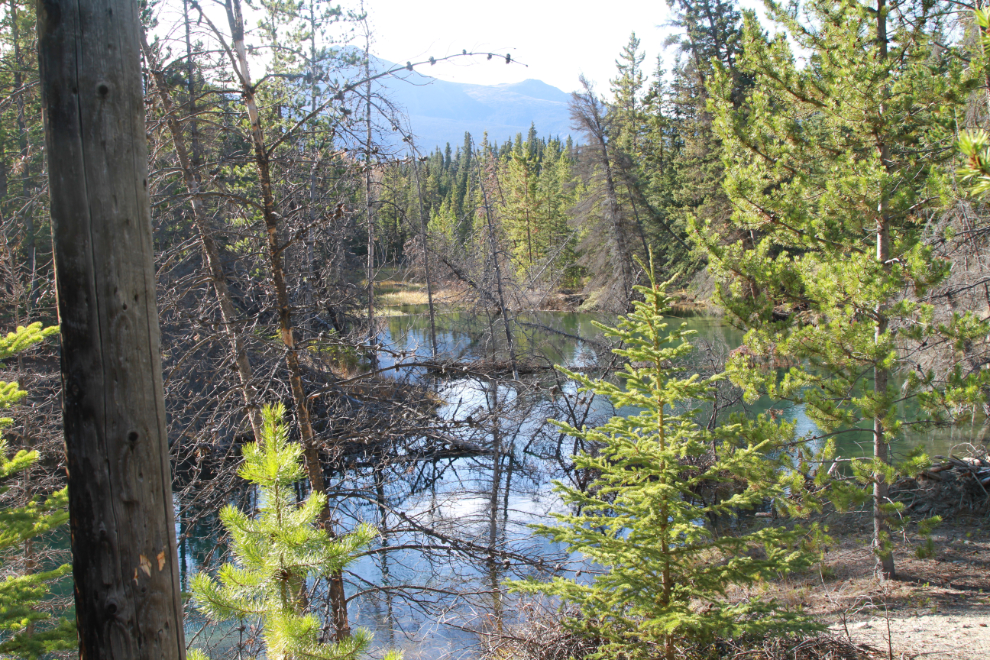
At the spot overlooking the lake in the next photo, the smell of sage was wonderful.
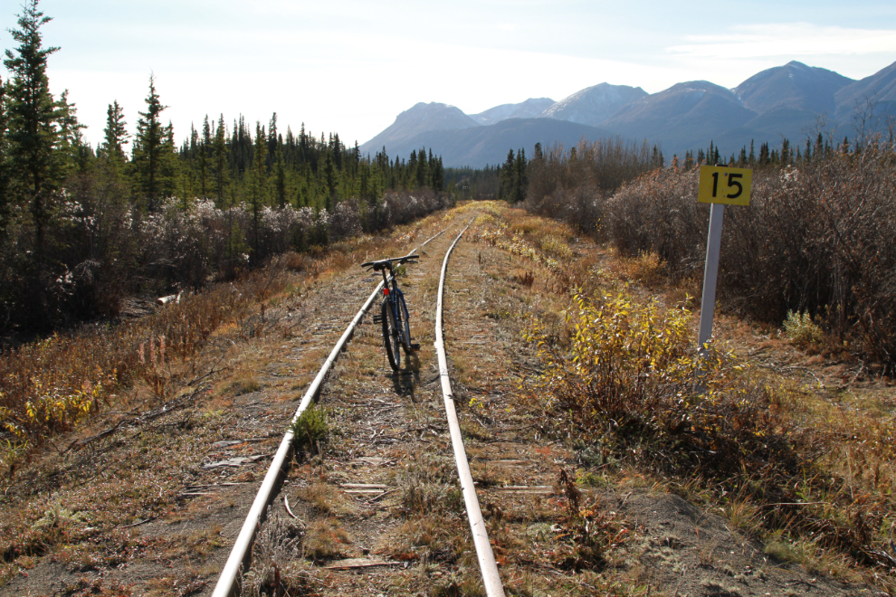
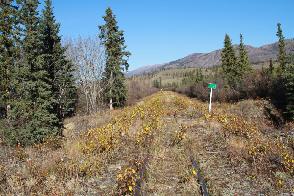
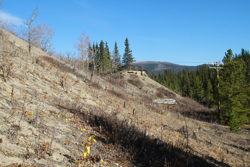
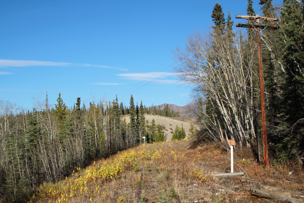
A few hundred meters from the car, this sign puzzled me. The number 15 is only visible southbound, and I have no idea what it might have meant to train crews.
Not much further was this green sign – this photo is looking north.
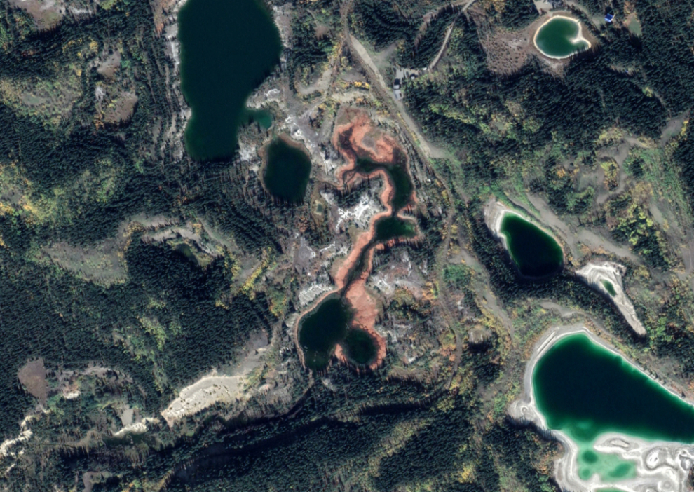
The next image is from Google Earth. To the left of the red-ringed ponds and lakes you can see a straight line – that was the railway as built in 1899, with two bridges, each one nearly 50 feet in height and 600 feet long. Far off to the right is the rail line built later to avoid those bridges – I think in the 1970s when heavier ore trains were about to start running. Go to an interactive map of that location here.
At 2:15 I reached the 11899 railway grade, and dropped down about 30 feet to it.
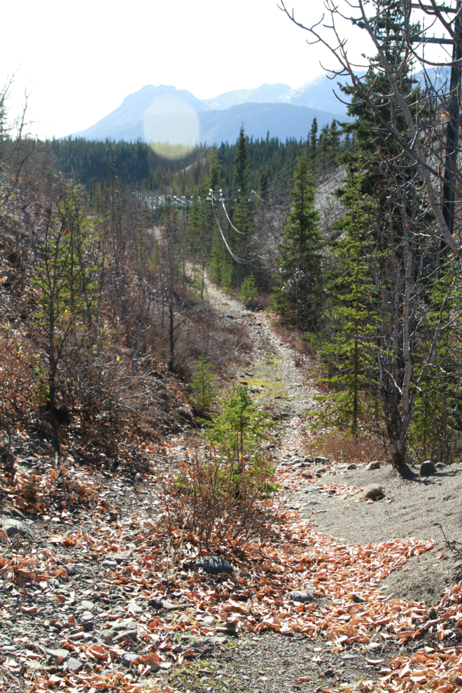
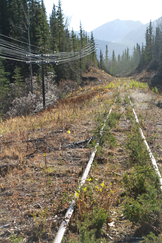
Just a couple of minutes later I was on a section of the line that was built on about 50 feet of fill, leading up to the first bridge location. The next photo looks north along that section.
Looking north again because that was providing the best light for photography, this was where a bridge crossed the canyon created by Lewis’ ditch. There’s no sign of the bridge now except perhaps a length of steel cable. I had to wade through the creek here – not deep, but muddy – yuck!
The cut in the next photo led up to the south end of that bridge.
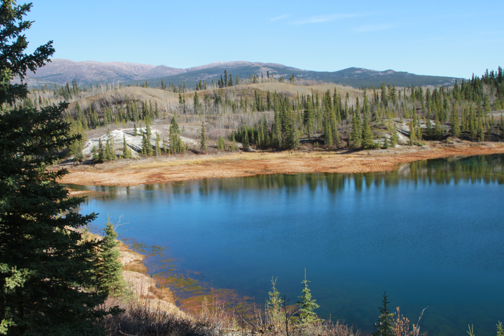
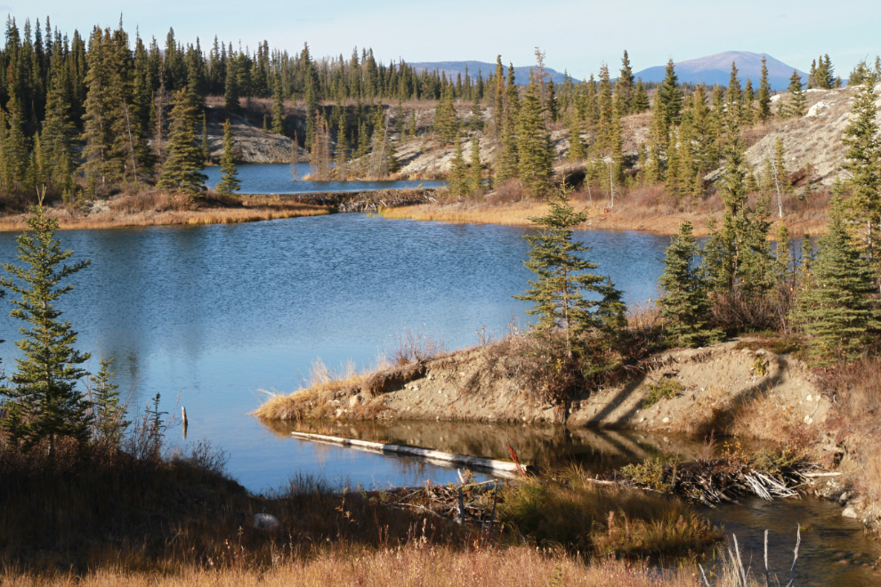
The valley to the east of the 1899 rail line is full of ponds and lakes, as seen on the Google Earth image above.
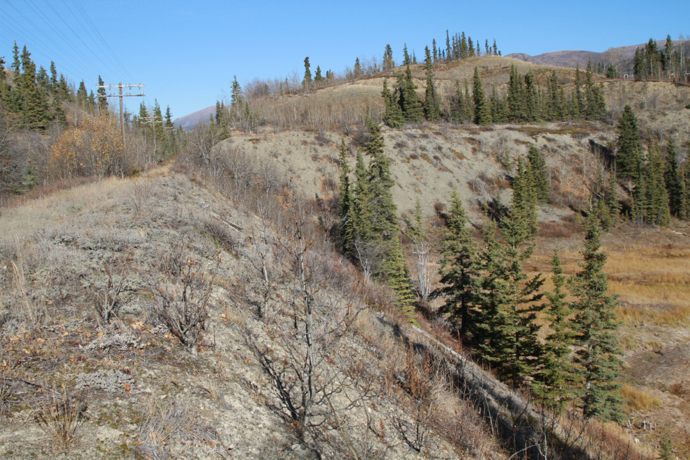
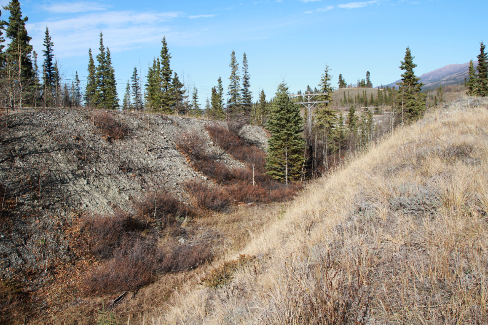
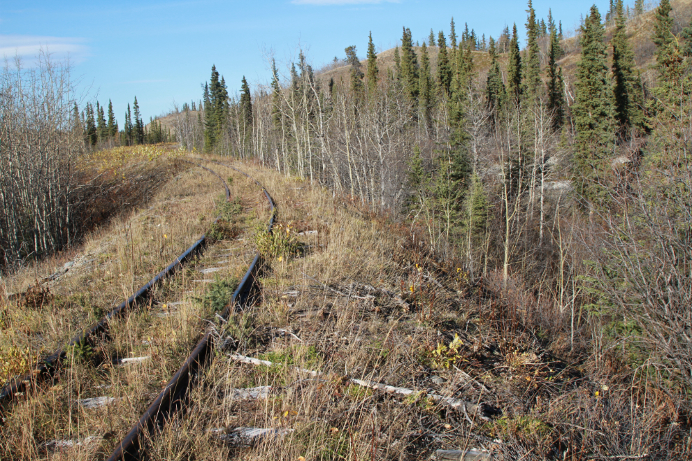
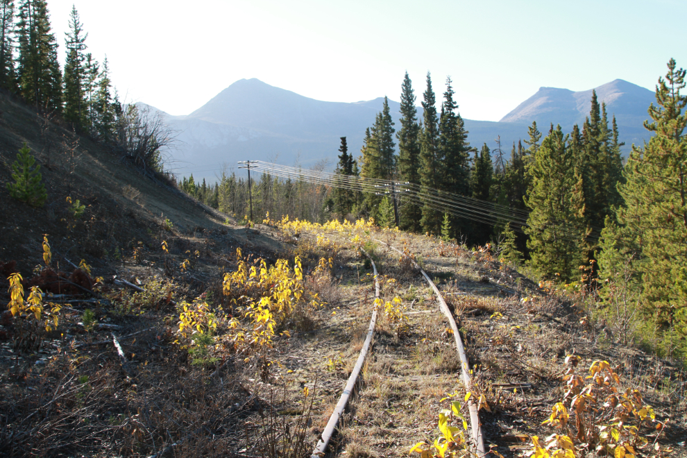
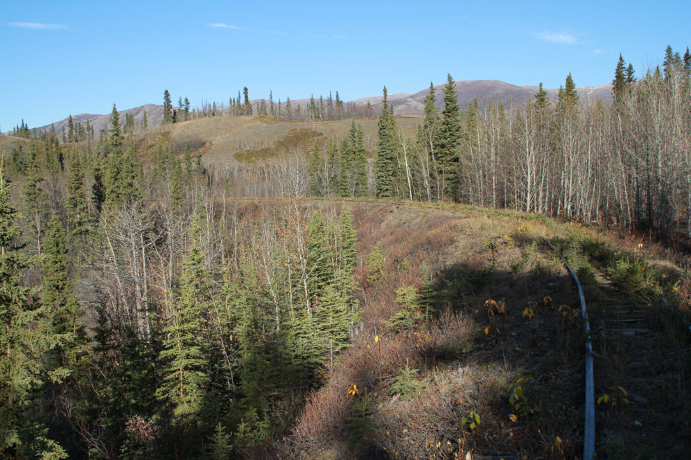
At 2:30 I was on a section of the rail line that was quite heavily overgrown – impossible to ride and not much fun to walk.
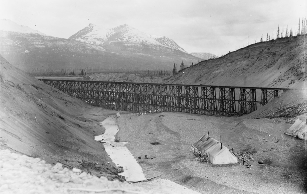
This is what the southern of the two bridges looked like as construction was about finished in 1899 (Yukon Archives, E.J. Hamacher fonds, 2002/118, #270).
This is what the north end of that bridge looks like now.
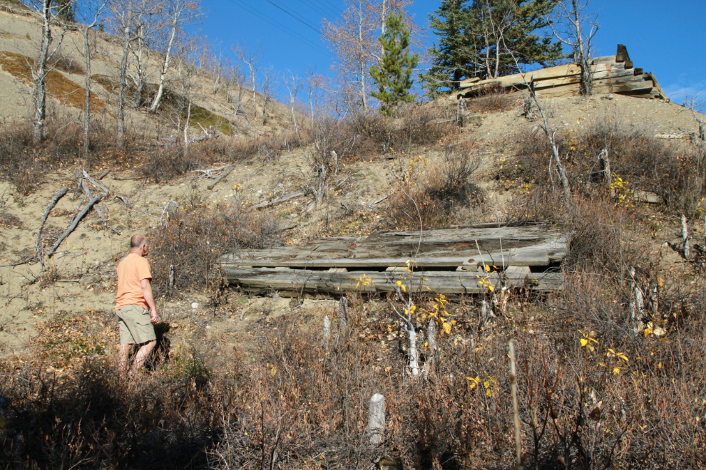
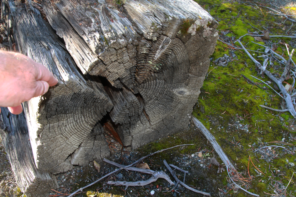
A few bridge timbers remain below, but not much. I don’t know what happened to it all – recovered to use elsewhere, or burned?
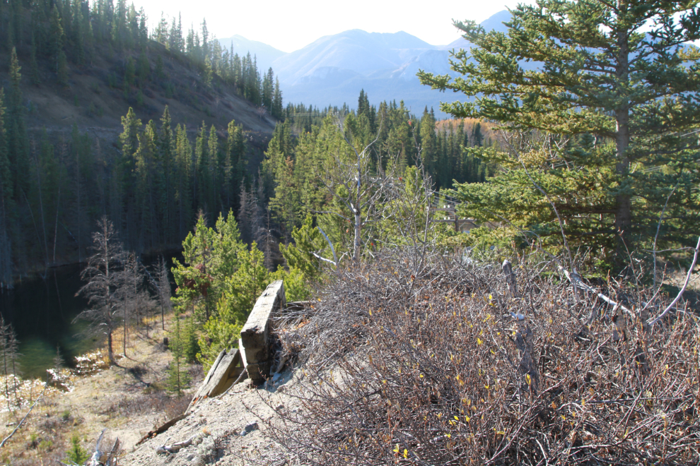
The next photo is the view to the south from that bridge approach.
I had hoped to be able to get from that point to the current rail line, but a seemingly endless line of beaver-dam-created ponds made that impractical, and the climb on the far side was much too steep to be reasonable.
A look at the bridge remains as I started back along the 1899 line.
At 3:10 I was back at the creek crossing, and I realized that the high water level in Lewis Lake currently has been caused by a large beaver dam, seen in the distance in the next photo. A smaller beaver dam is in the foreground.
Google Earth showed a couple of very colourful little lakes close to the newer rail line, so when I reached the closest point I hiked in to the first of them. There’s a very faint trail climbing up and then down a steep little ridge, perhaps 80 feet high. The lake is in quite a pothole so the light wasn’t good and the banks are steep. My thought had been to spend time there, but it wasn’t nearly as nice as I’d expected so I didn’t.
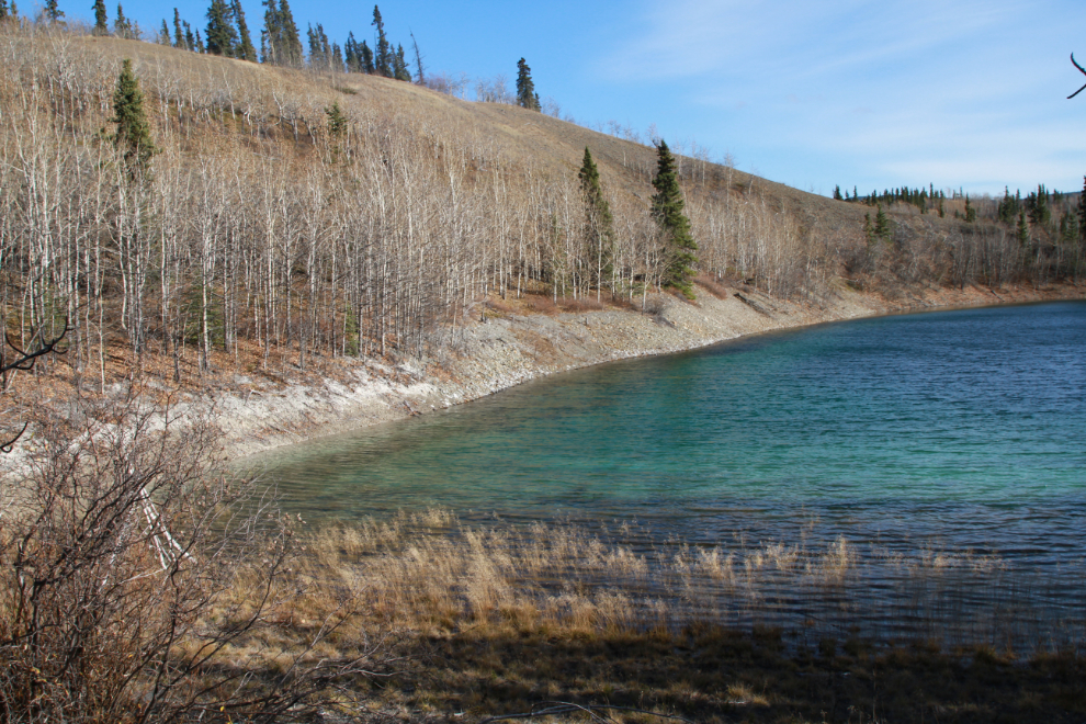
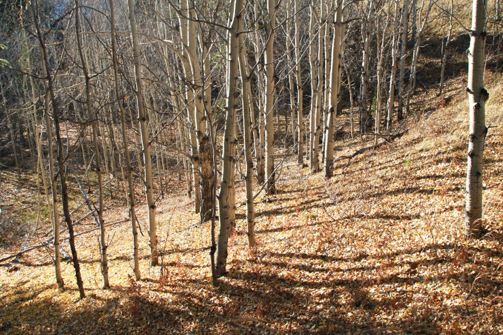
Some of the forest around that little lake was quite lovely.
Headed south on the current rail line at 3:35. I wasn’t able to ride much due to the roughness of the ties and the ground alongside the tracks.
The next photo shows the deepest filled section yet – about 80 feet high. I expect this is one of the deepest fills along the entire line.
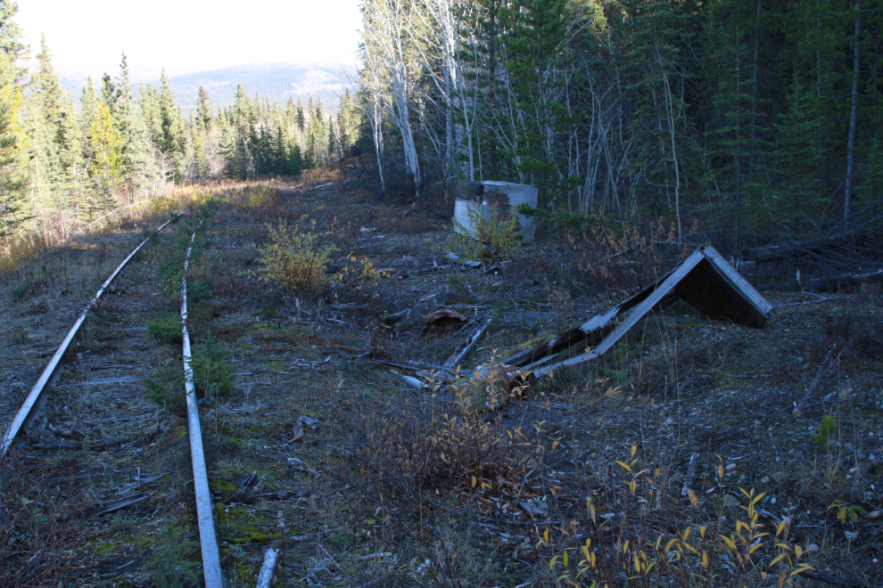
I don’t know what was here. In the distance is what appears to have been a large sand box, with the ruins of a small building in the foreground. They’re both plywood, so not especially old, but as this section of the rail line is only 50 years old, that’s expected.
Ahead where the line curves left, the 1899 line went straight ahead (to the right) onto the large bridge I had been looking at 20 minutes before.
MP 82 (Milepost 82), right at 4:00. I really like mileposts for some reason 🙂
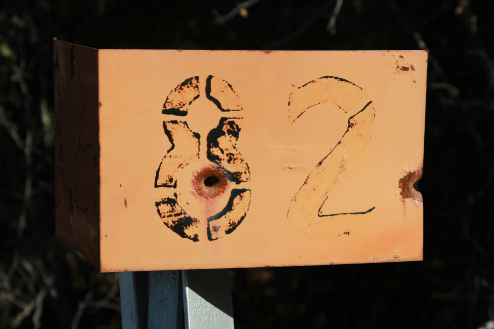
Looking back at MP 82.
Although the site of Minto station was only half-mile ahead, I was getting tired and decided to turn back at MP 82. This was my final view to the south.
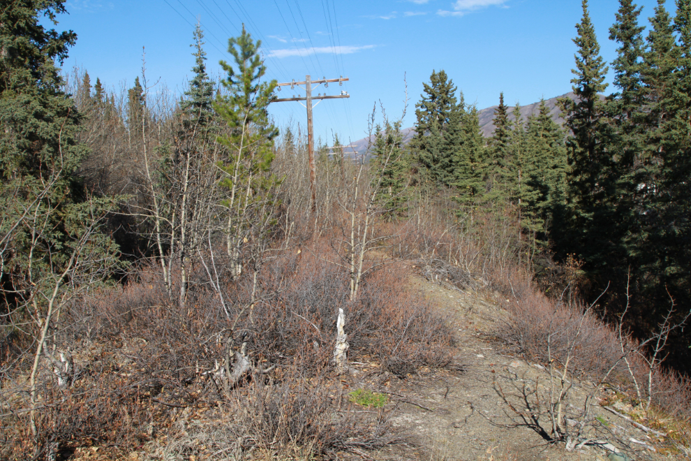
Starting back towards the car.
Another look at that very impressive 80-foot-high filled section.
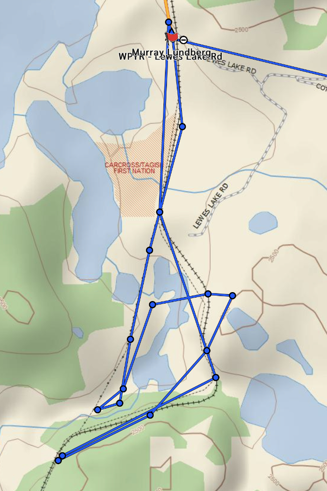
I got back to the car at about 4:40. The map below is the route my Garmin inReach recorded for this outing.
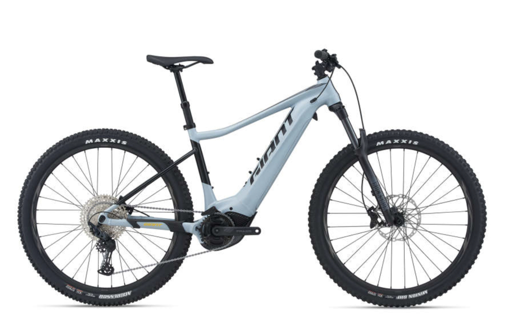
The test outing convinced ne that an e-bike would be a good addition to my toolkit. Cathy and I decided that I should get what I need to do everything I have in mind rather than have a budget that limited that, so yesterday I ordered a Giant Fathom E+ from Icycle Sports in Whitehorse. It’ll be shipped next week, so will arrive about the same time as the snow. Oh well, ready for next year, even if I don’t get to ride it when it arrives (and I might get a few days).