An e-bike wander in the Whitehorse Copper Belt
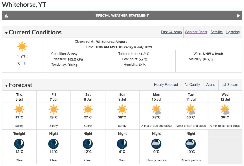
Summer has arrived in the southern Yukon in a major way. We’re now hovering around record temperatures (8-10 degrees above normal) every day for at least the next week, and I’m of course looking for ways to enjoy as much of it as possible.
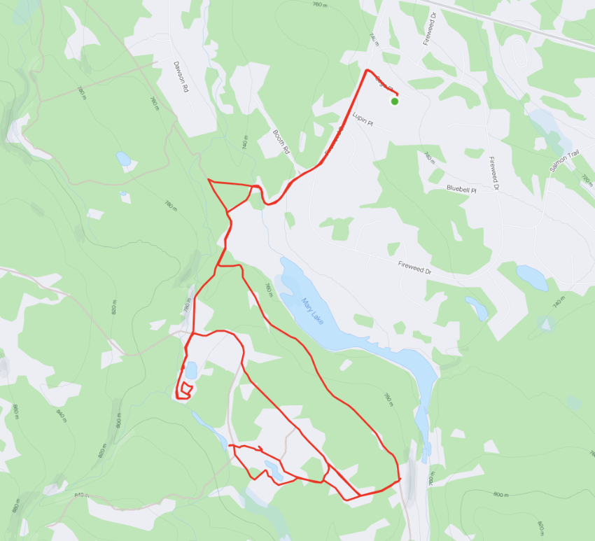
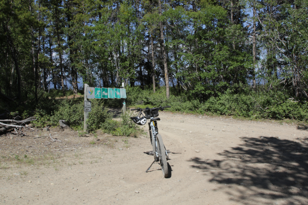
On Wednesday afternoon (July 5th) I decided to take the e-bike out for a wander, and the easy choice of places to do that is the Copper Belt just a mile or so to the east of home. By the time I got home I had ridden 16 km (10 miles). You can see the route and other details on my Strava page.
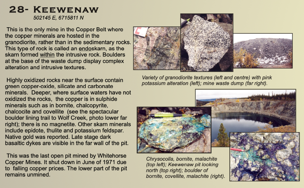
The ride started on a few blocks of paved road through Mary Lake, but there was no traffic, and at 3:50 I was on a quiet side trail off the main road into the Copper Belt. This is the southern end of a strip of copper mines that operated off and on from 1899 until 1982.
There were two main things I wanted to look at on this ride – the old mines always intrigue me, of course, but there’s also a massive and growing firebreak being cut. The first mining pit I went to was the Keewenaw. This is the view of the pit from the west. A high gravel berm to block the road before reaching this pit was built a few years ago, so few people come here anymore. Tim Green has posted a very good “visitor guide” to this property in his History Exploration Notebook.
Here’s a brief look at the Keewenaw property, from the Yukon Geological Survey.
The next image is an aerial view of the Keewenaw area as it looks now.
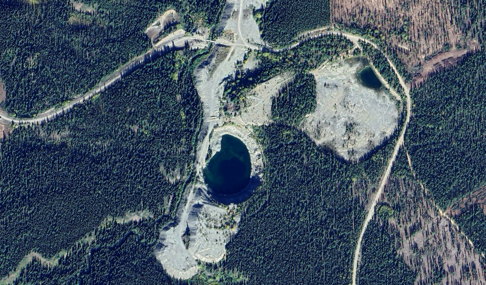
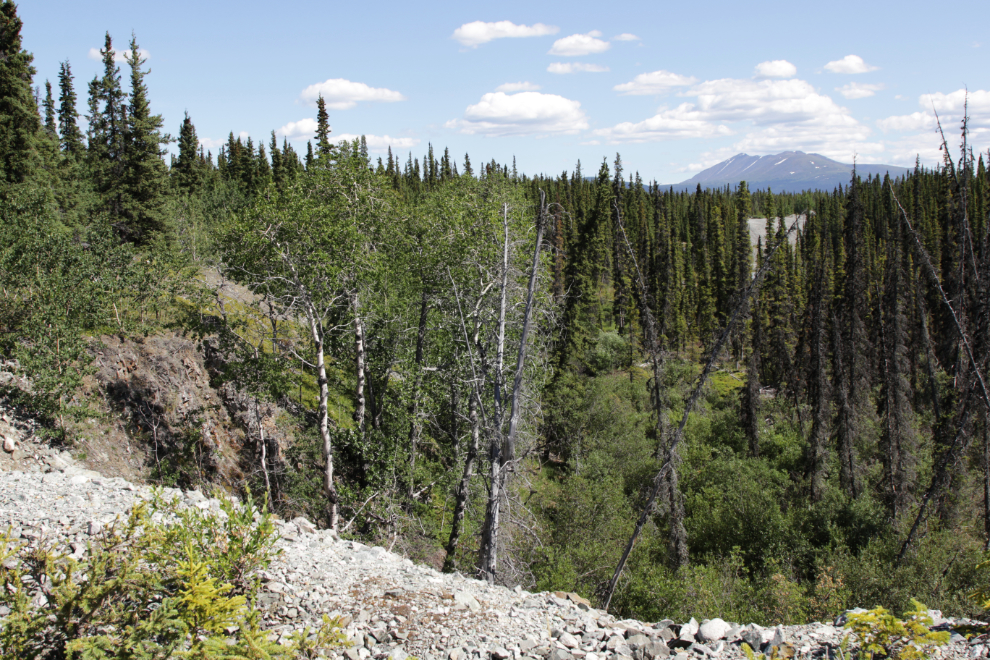
I rode past the pit to the end of the waste rock piles (seen at the bottom of the aerial above) – the next photo shows the view to the south from there.
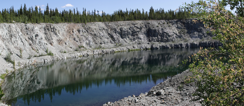
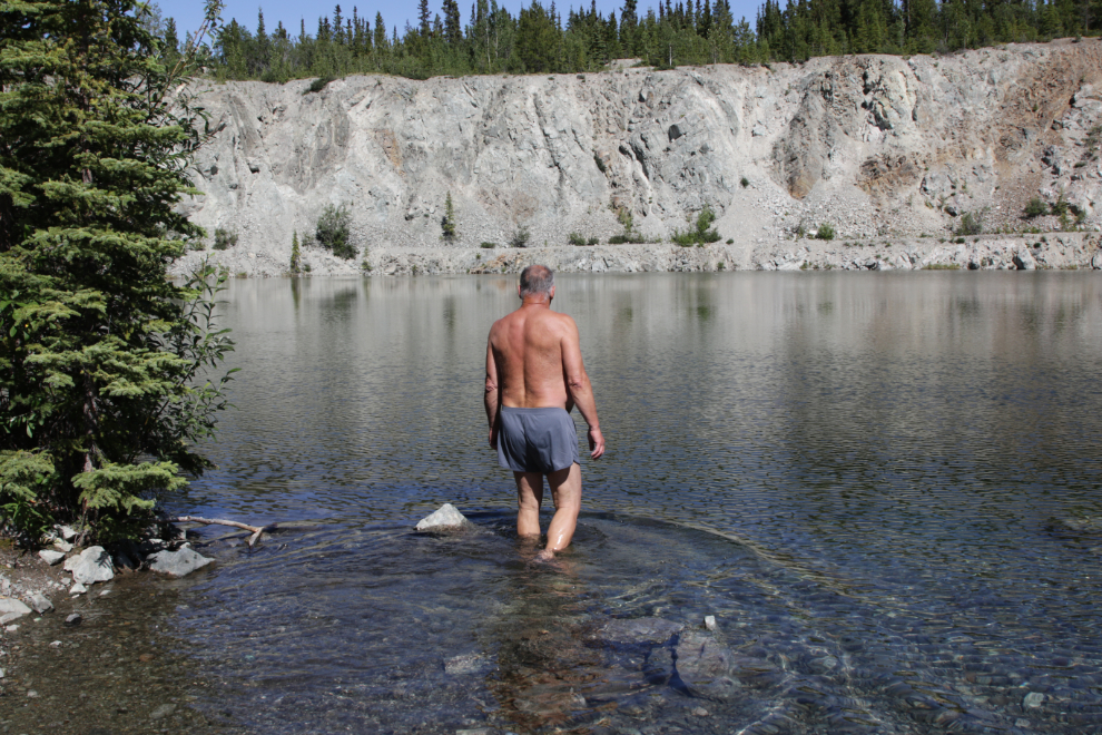
Next I rode to the level above the pit for a broader view.
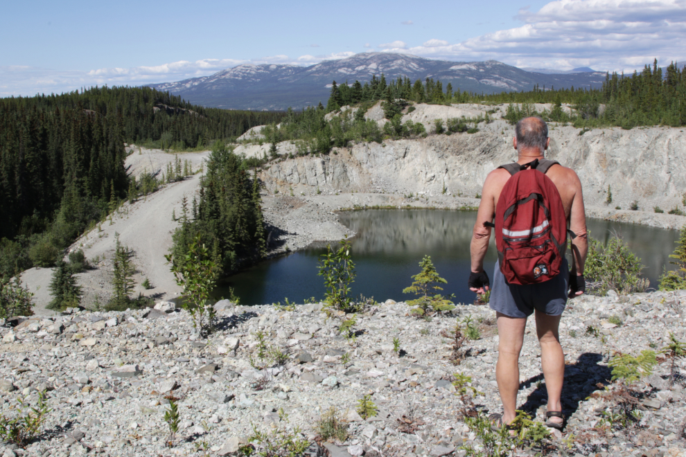
With the temperature now about 24deg;C/75°F, that water looked very inviting from above, so I decided to go down for a dip.
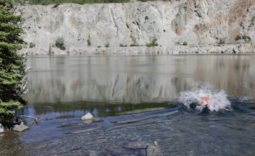
However, the results of an informal poll are clear – skinnydipping is a significant factor in staying young, and this was a perfect day to knock a few years off 🙂
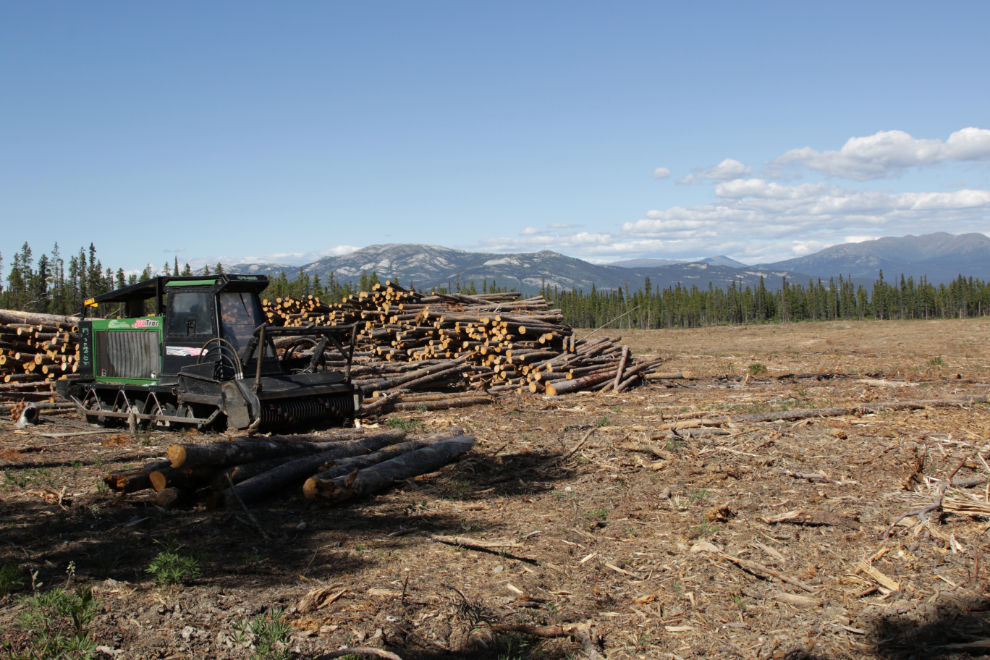
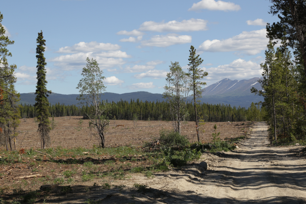
Thoroughly refreshed now, I decided to cruise some of the firebreak next before possibly going to another mine. The size of the firebreak is shocking, but I know that its construction could save my home and many hundreds of others when the wildfire that we know will happen arrives.
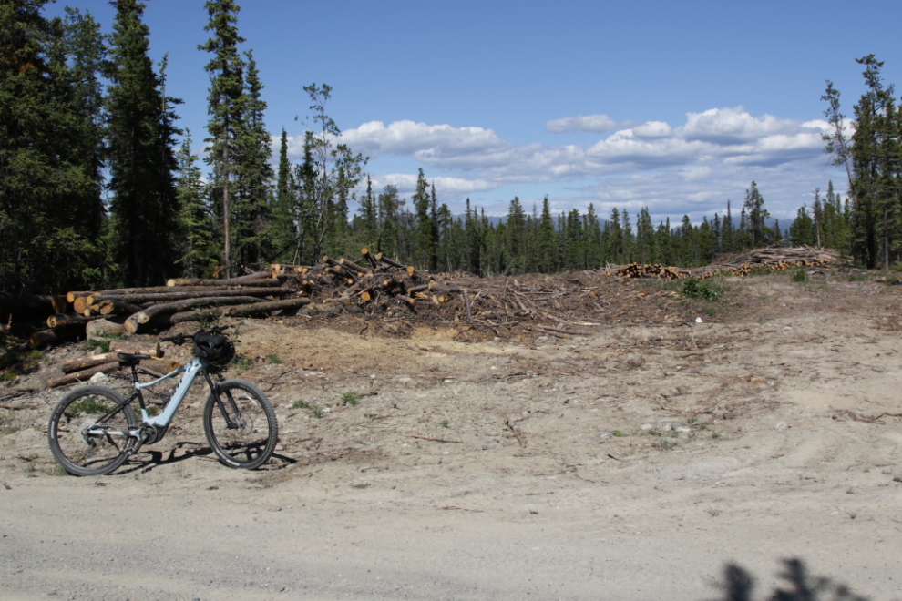
Despite the incredible amount of probable firewood stacked up here, I doubt that the price of wood will drop. I think a bit of it was available for the public to cut, but we’re not able to do that anymore.
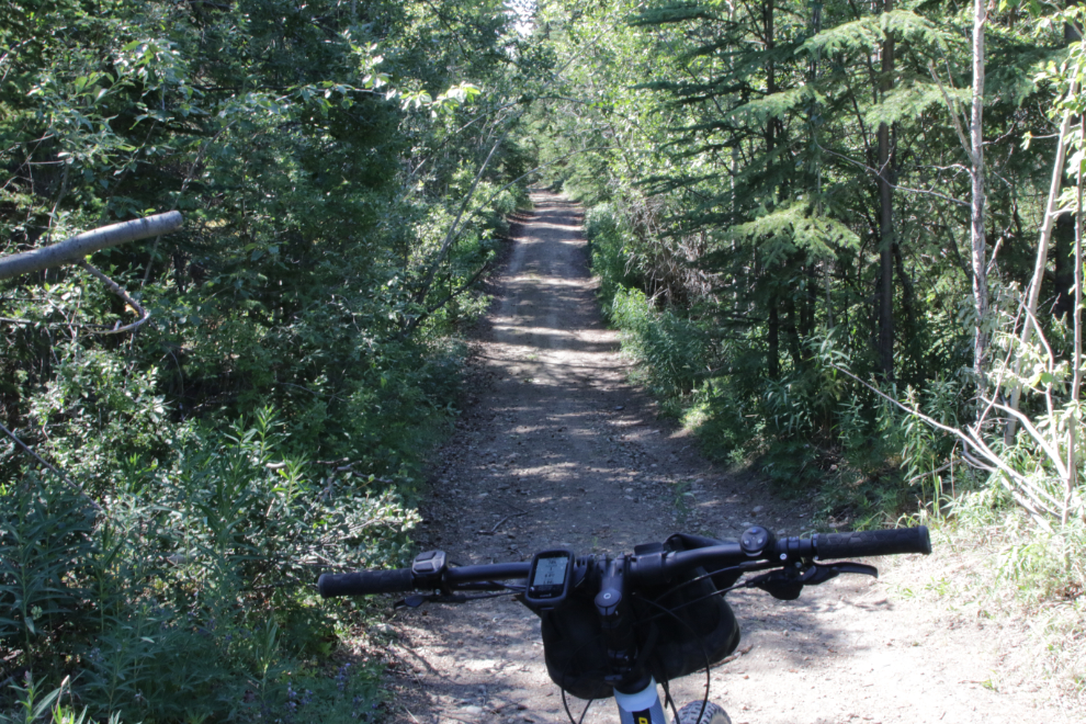
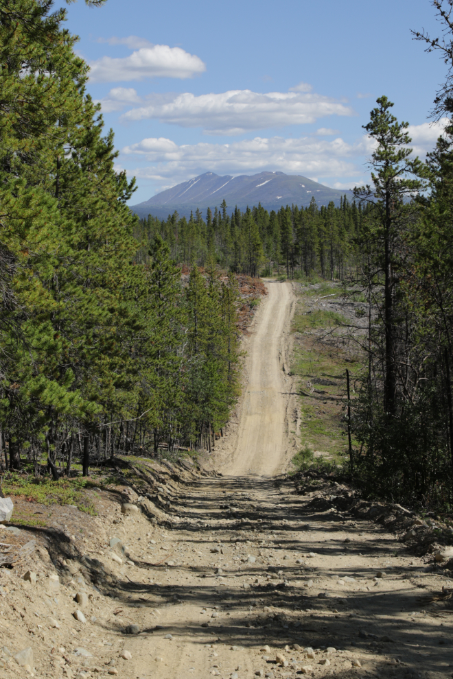
It was nice to get into some trees again!
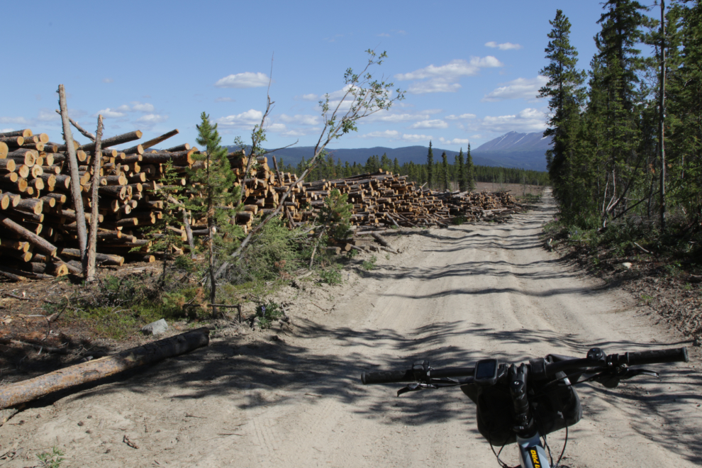
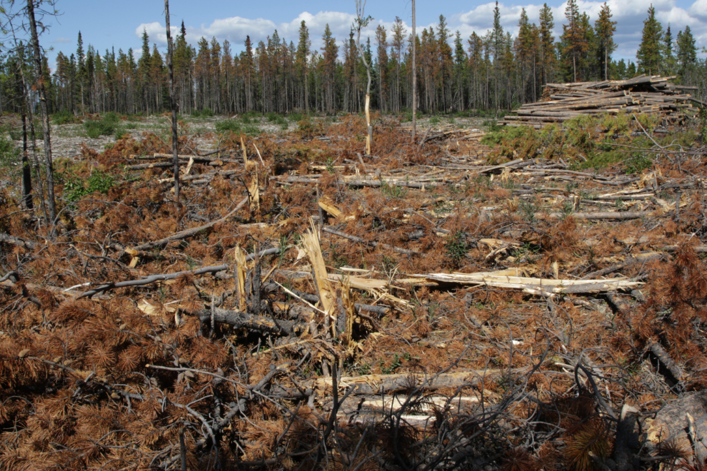
This virtual tinderbox that’s been left is just plain scary 🙁
I rode past a couple of side roads that would take me to the next mine, and when I reached the junction with the WWII Canol pipeline road, turned left towards home.
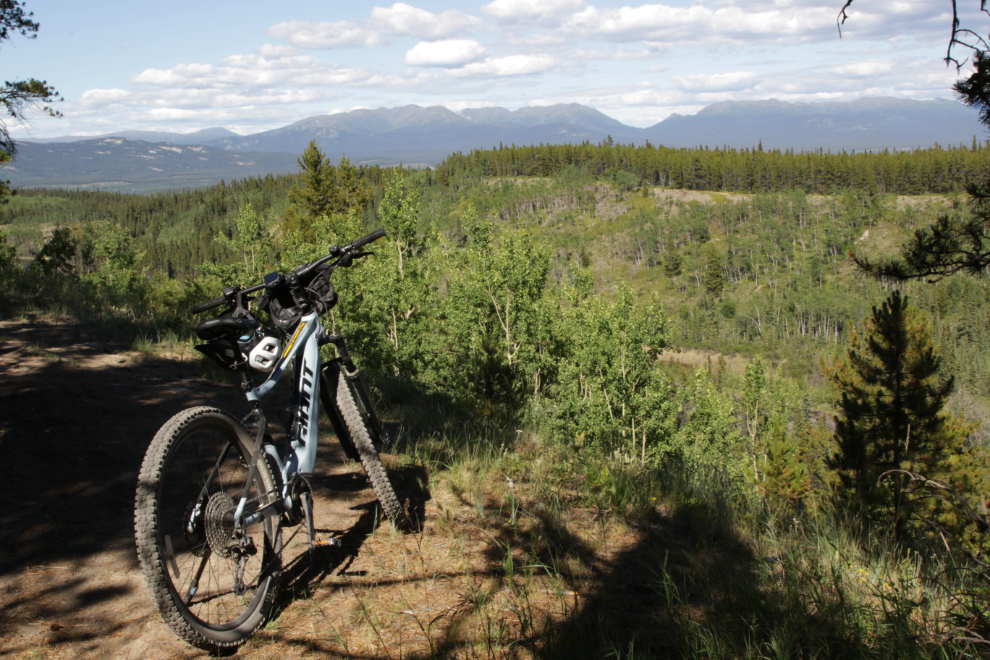
A few meters after making that turn, though, I stopped to admire the view over the valley between Murray and Mary Lakes, and decided to turn around and go to that other mine.
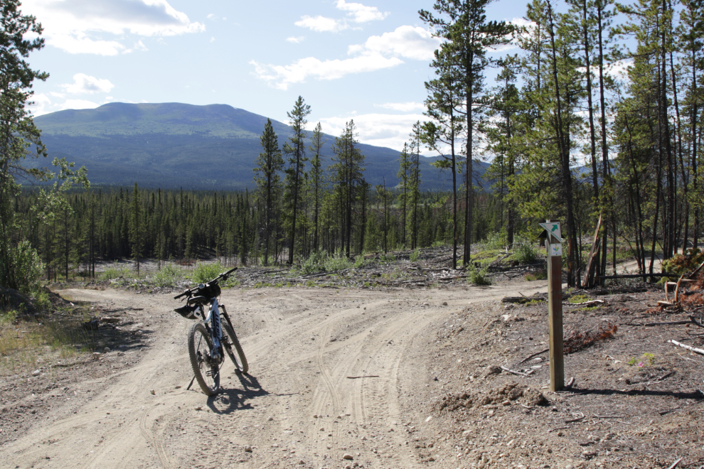
I headed back to the west, and at 5:00 reached the junction of the main road (the one on the right) with one of the side roads back into the mining area. I took the road less travelled 🙂
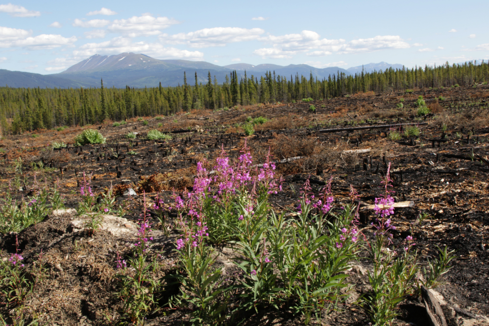
One last firebreak photo, because I liked the contrast between the burned area and the fireweed.
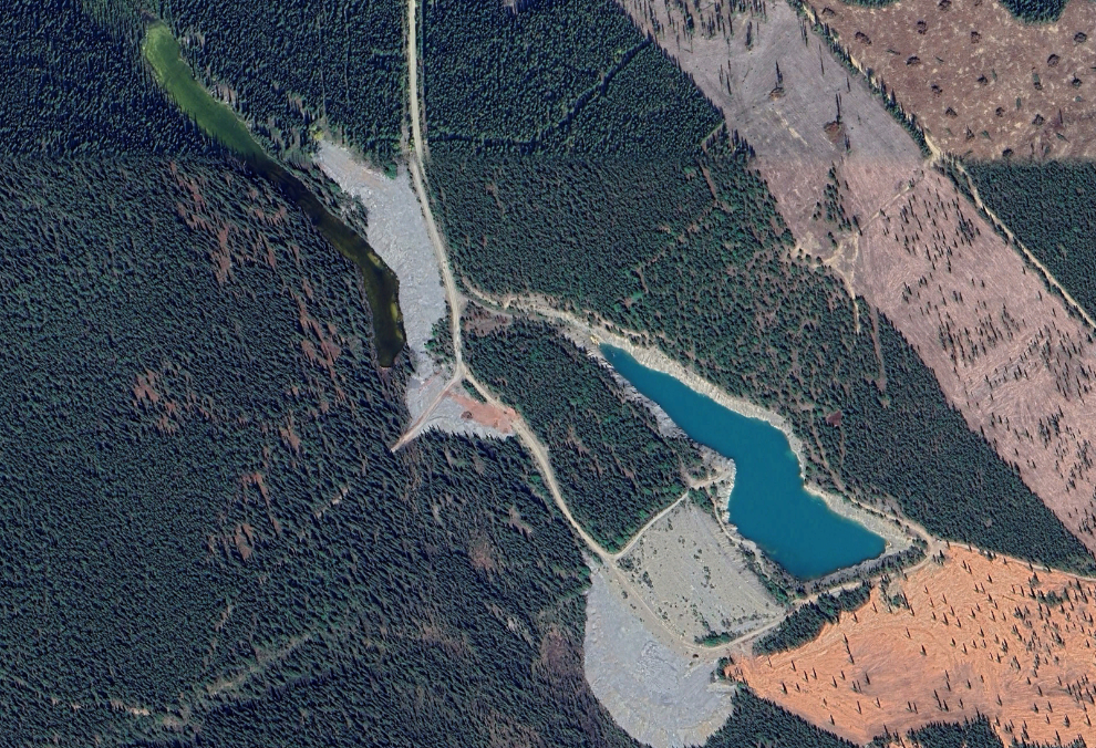
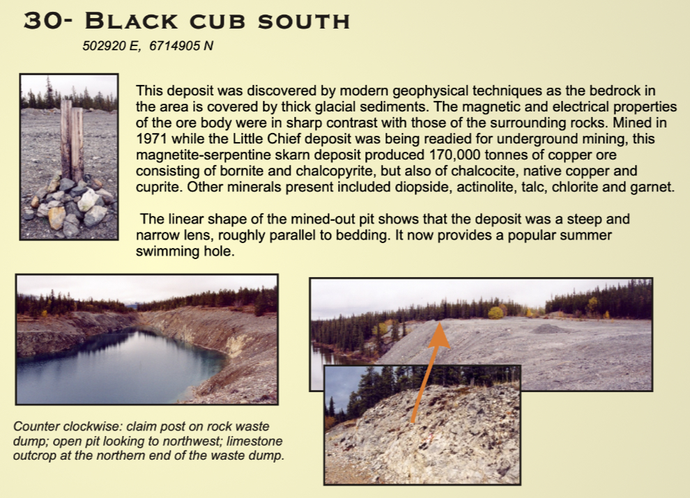
The last mine was called Black Cub South – here’s what it looks like from the air.
Next is the Yukon Geological Survey’s summary of the property.
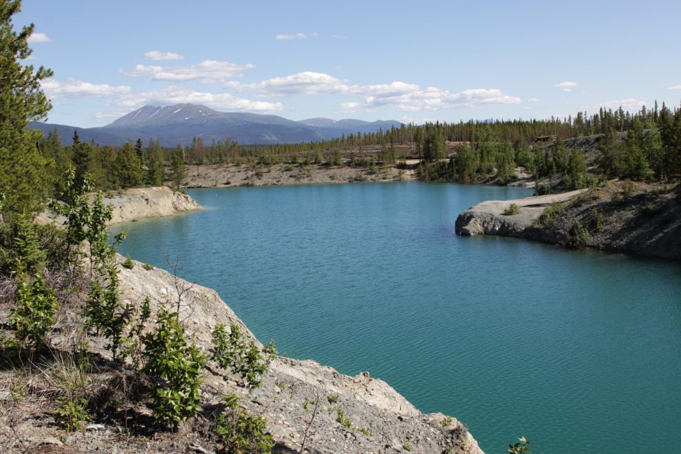
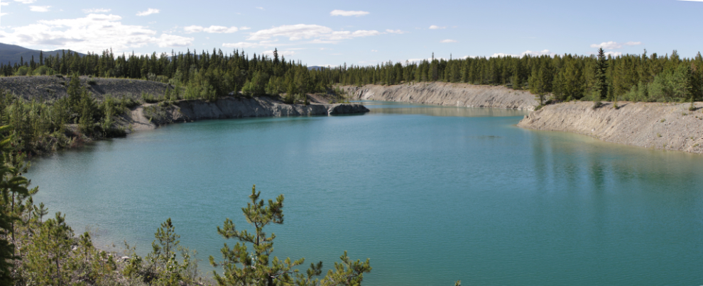
I decided to see if could do a circumnavigation of the Black Cub South pit. The next photo was shot above the northeastern shore.
I made a little detour to the west to check out a slope, but it was just waste rock encroaching on a long, narrow, un-named lake lying between the Keewenaw and Black Cub South.
From there I rode home making a big loop to the east along the WWII Canol pipeline access road, but I didn’t take any photos.
It is a wonderful well written article
Nice day trip!… How much of your E-assist did you end up using on this little journey? It sure looked dry. Thanks for the always ‘entertaining’ Murray bare butt shot!
Always happy to entertain 🙂
I didn’t keep track of the battery on this ride but I probably only used about 20% of it – I almost ride with minimal power assist – Level 1 of I think a possible 7.
Murray, I usually read of your wonderful adventures with my coffee in the morning. Your get up and go attitude really does motivate me to start my day. I saw your post early this morning but had an early doctor appointment, so kept it on my mind to read later. And now with a glass of wine I read this. You never disappoint, I feel like I should end my night by going out and do some yard work. It’s 8:00 pm, 100 degrees, in Florida, so no, but you would!! Stay safe and keep the wonderful stories coming.
Thank you, Patsy 🙂
No, at 100 degrees I’d be sleeping under a cool vent somewhere! We’re headed for 84F today and I’m going out on my e-bike for a long ride (30+ km, I hope) in about an hour (it’s 04:40 at the moment) to avoid the heat.