First visits to Caribou Lake, Yukon
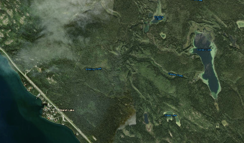
A few months ago a friend asked if I’d like to go to a lake that neither of us had been to before. Caribou Lake is easy to access from the Alaska Highway but neither of us knew anything about it beyond what we see on maps. Click here to open an interactive Google Map of the aerial view below.
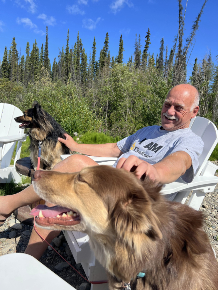
We finally arranged to go exploring on June 29th. I had to spend a while visiting her dogs before we headed up into the mountains (the dogs didn’t get to come because we had no idea what to expect). Hunter, the boy in the foreground, was briefly one of my fosters at a difficult time in his life, and he’s never forgotten – little Meeko has just always loved me 🙂
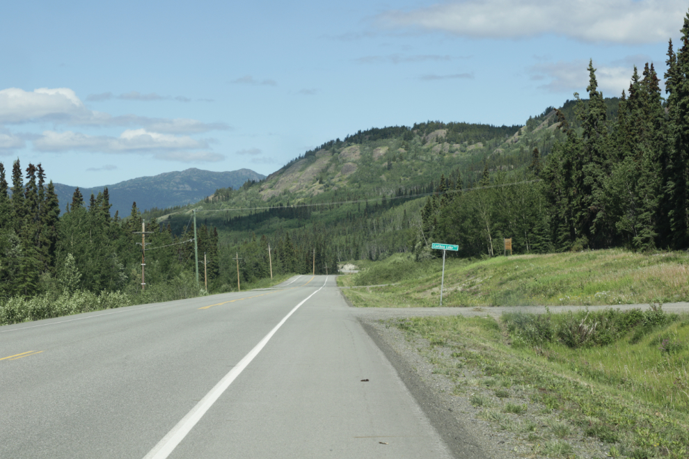
The next photo shows Caribou Lake Road from the Alaska Highway, looking towards Whitehorse.
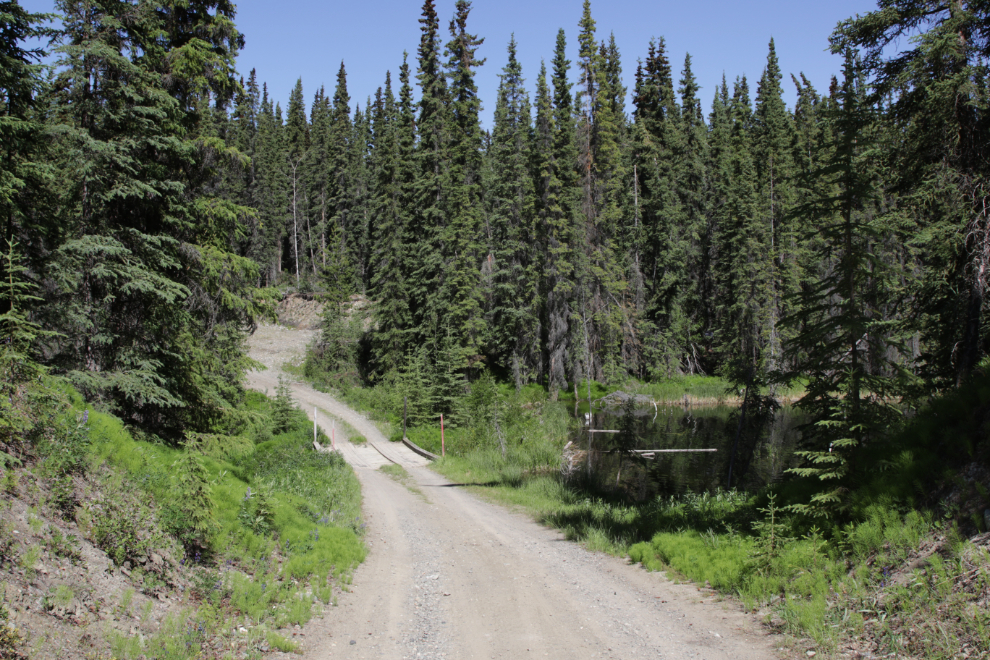
Caribou Lake Road is in pretty good condition, and just 3.6 km from the highway, we came to a little bridge over Greyling Creek. A large beaver dam right beside the bridge has turned the creek into a lake – the top of the dam is actually higher than the deck of the bridge! The photo was shot looking back at the bridge after we’d crossed it.
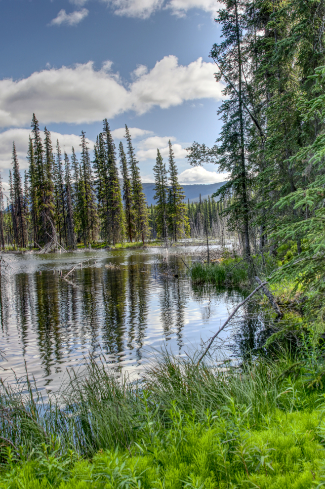
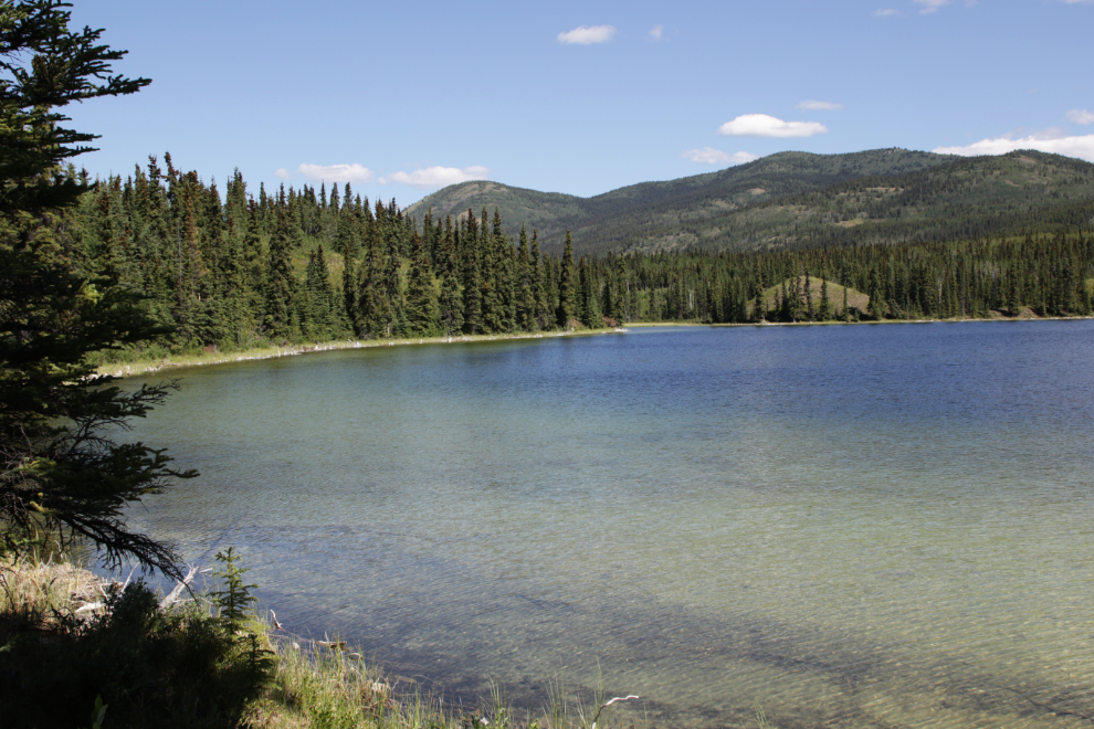
This is Greyling Creek (Greyling Lake now?) from that same spot. It’s lovely, but didn’t look very user-friendly except for beaver, fish and moose.
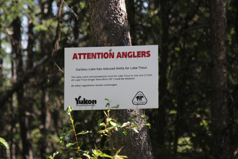
We met a Fisheries officer who was driving down from the lake, and a minute later saw this sign: “Caribou Lake has reduced limits for Lake Trout. The daily catch and possession limit for Lake Trout is now one (1) fish. All Lake Trout longer than 65cm (26″) must be released.”
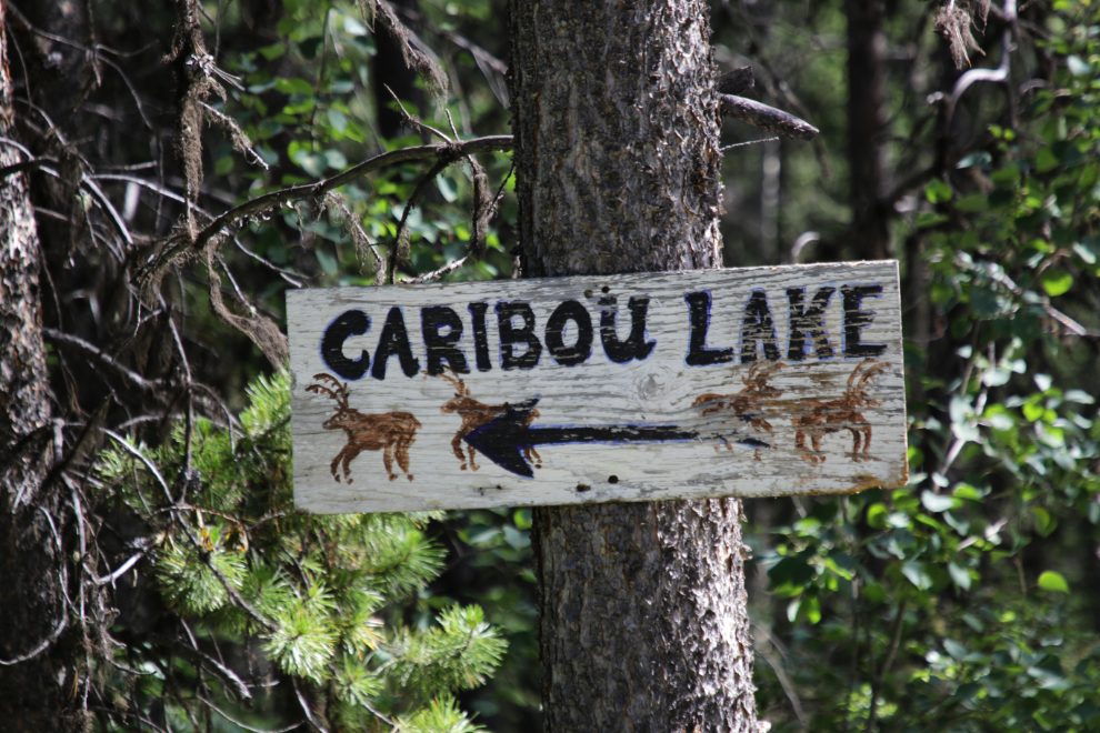
I love the Caribou Lake sign 🙂
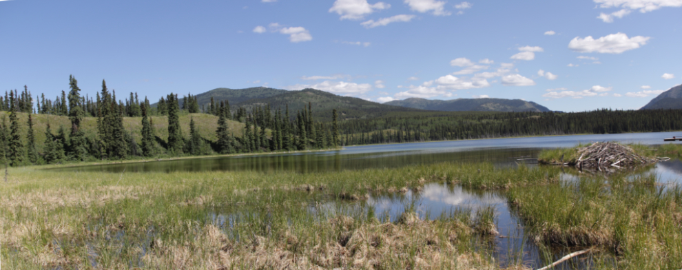
The access to Caribou Lake is reached 5.2 km from the highway – beyond this access road is private property. The lake sits at an elevation of 776 m/ 2,546 feet above sea level, which is 122 m/ 400 feet above Marsh Lake.
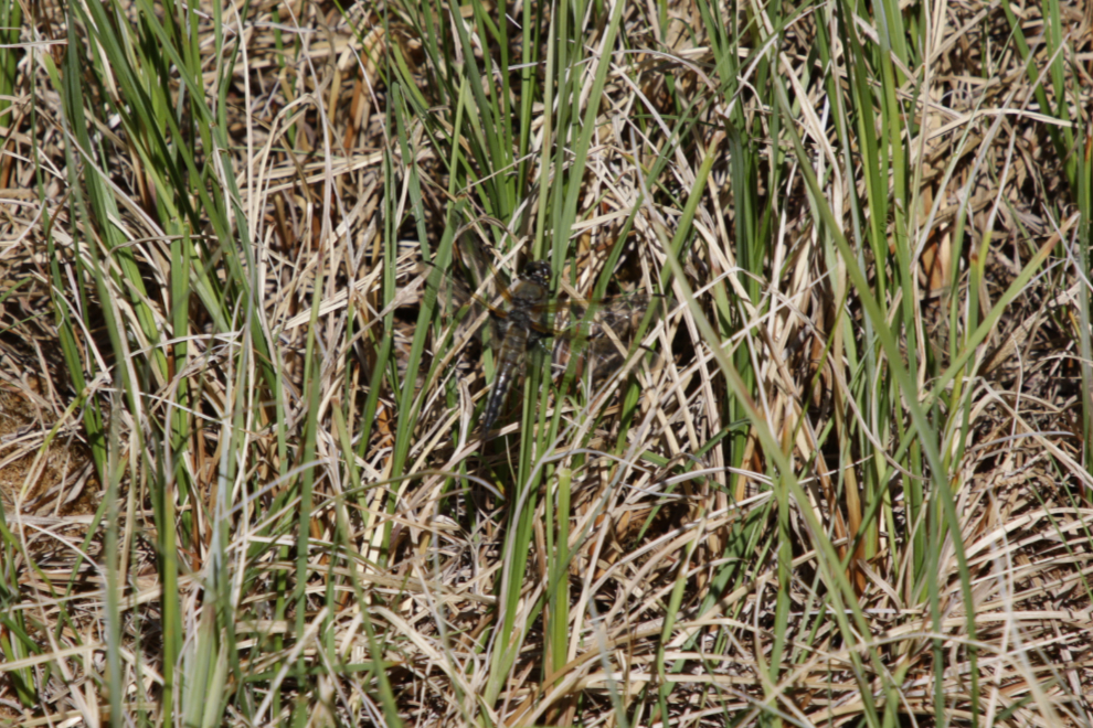
You would except a marshy place like this to be terrible for mosquitoes, but there were none. There were, however, a lot of dragonflies – that’s no coincidence.
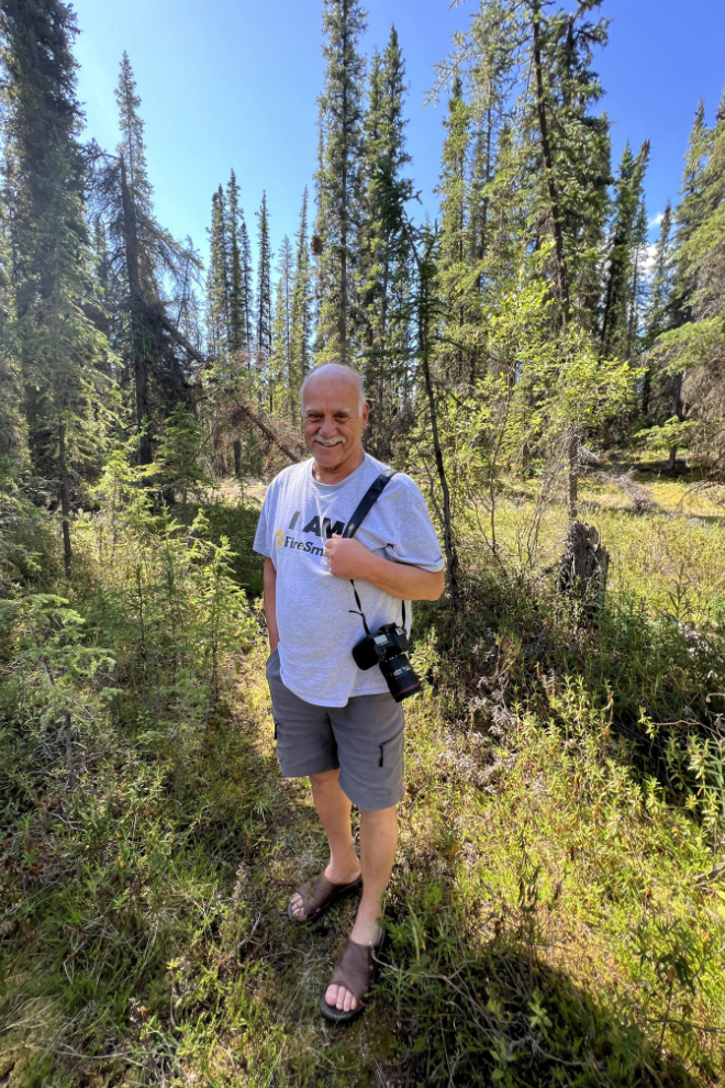
I seem to have been enjoying this little Adventure 🙂
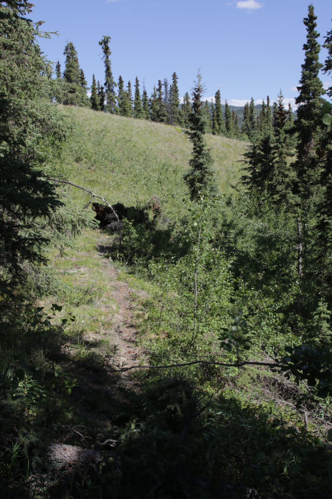
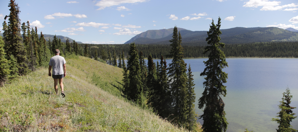
We were happy that the lake was no longer a mystery to us, but didn’t stay long. That bare ridge to the left in the panorama above, however, intrigued me, and on July 6th I went back by myself to see if it offered any good exploring or photography options. Specifically, I thought that the wonderful colours of the lake might show up well from there. Getting to it involved some mild bushwhacking, but I came to an old trail leading up the ridge.
It’s lovely on the ridge, but the position of the sun was wrong to get the water colours I had hoped for.
At the end of the ridge I dropped back down to the lake. Again, it was lovely, but not very user-friendly.
I was soon back at the car and headed down the road. Both visits were interesting, but as I’m not into fishing, Caribou Lake just goes into the “Been There Done That” folder. A friend told me that an ATV trail I noticed goes north for many miles to other lakes, and perhaps some day I’ll take the bike up to explore it.
I’ve actually been getting out a fair bit, but haven’t been able to tell you about any of a half-dozen outings yet because there’s just not been enough energy left. Perhaps I just needed a rest, and a couple of days of rain provided that – this post came together fairly easily, so maybe I can continue, with 3 bike tours of the Whitehorse Copper Belt totalling 100km being next on the list.
Just riding/using the E assist mtn bike to get into this lake would be a worthy little day trip. Bring a fish sandwich for lunch, no need to fish at all. Lovely surroundings in any case.
Caribou Lake would actually be a great e-bike ride, right from the highway.