Yukon RVing: Tombstone Mountain Campground
I ended my last post at the Dempster Junction fuel stop late Saturday afternoon. Cathy and I had been looking forward to getting back on the Dempster Highway for a long time, and Tombstone Campground at Km 71.7 was our planned home for the next two nights.
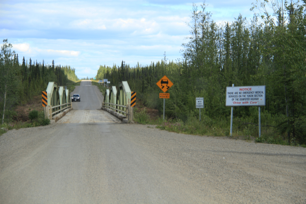
At 4:40 pm, we started up the highway by crossing the Klondike River on this one-lane bridge. The large sign on the right says: “Notice. There are no emergency medical services on the Yukon section of the Dempster Highway. Drive with care.”
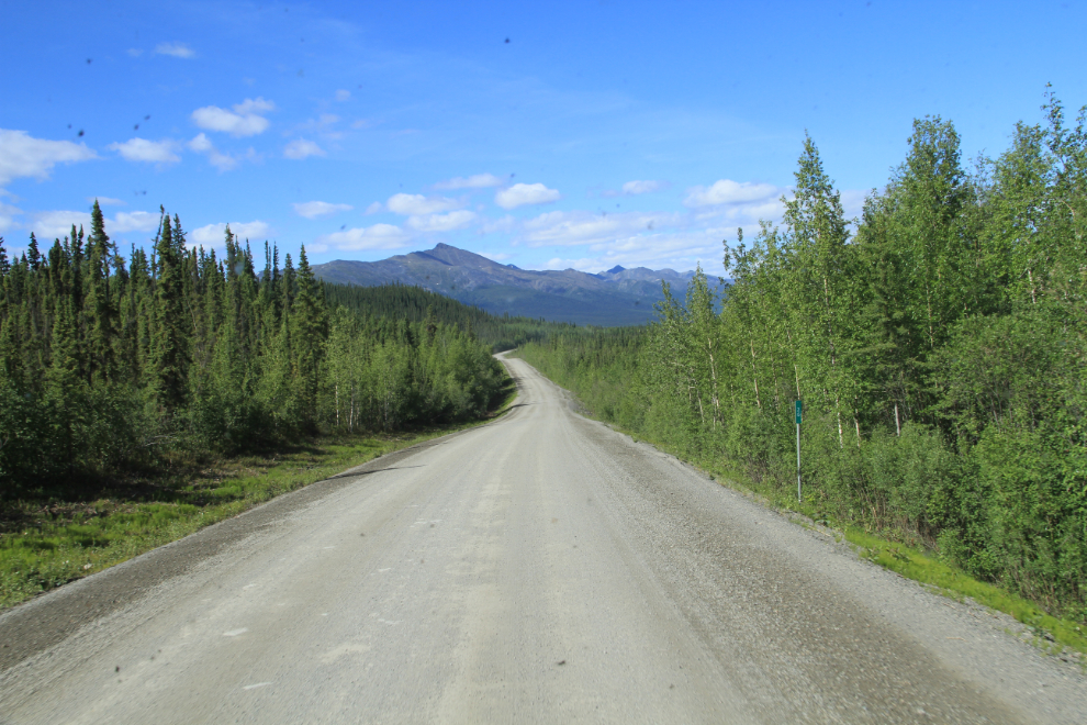
The road ahead and the Ogilvie Mountains at Km 26. The 2014 edition of The Milepost that I carry says that the first 5 miles (8 km) of the highway are chipsealed, but that’s no longer true – there’s less than 1 km of sealing. Most of the road had recently had calcium chloride laid for dust control, though, and it packs the gravel down to be as smooth as asphalt. We met The Milepost’s camper truck further up the highway, so the next edition will have that information updated.
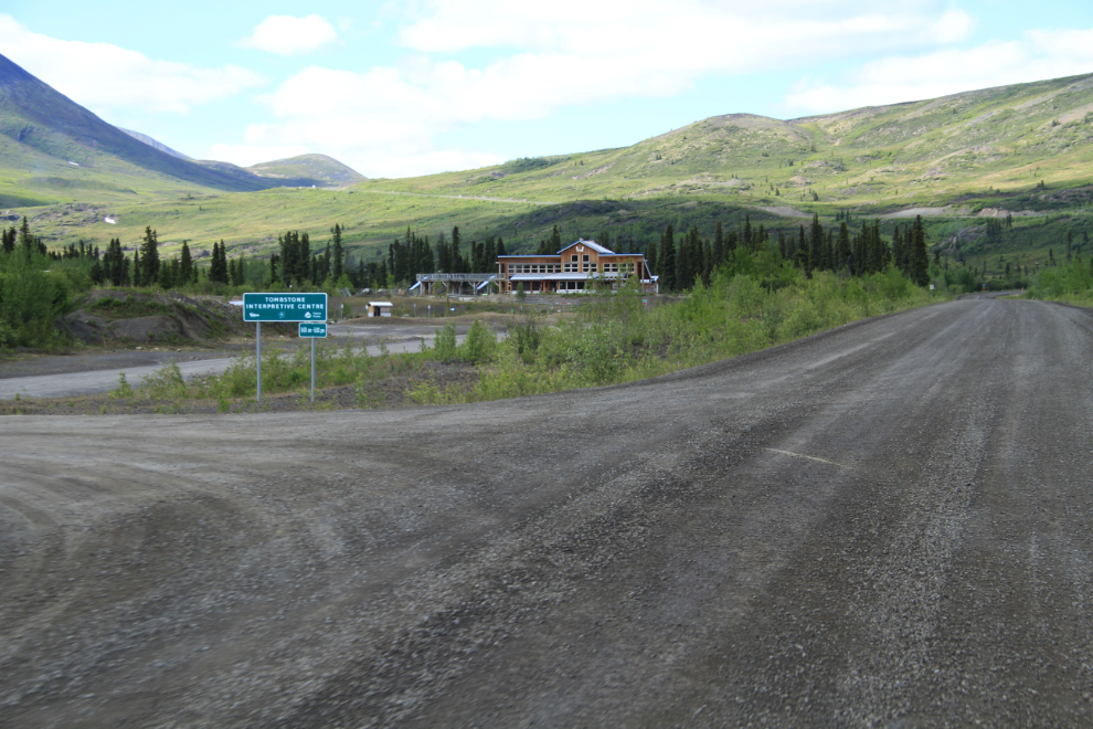
It’s a short drive to Tombstone, with the Ogilvie Mountains making it ever-more-spectacular. I was shocked by the size of the new interpretive center at Km 71.5, which we reached at 5:40. The last time I was on the highway, there was just this little interpretive center located in the campground.
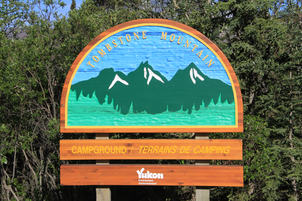
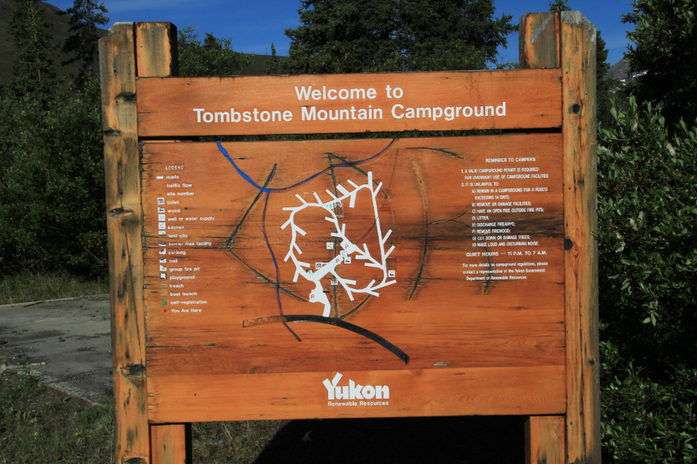
Tombstone Territorial Park Campground, a.k.a. Tombstone Mountain Campground.
We made a loop around the campground looking for the best site, and on the second pass picked #28, a nearly level, wide open site. None of the 36 sites in the campground are pull-through sites, but since we were unhooking the Tracker to go exploring, that didn’t matter. The nightly fee is $12, but we have an annual pass for Yukon campgropunds, so there was no charge.
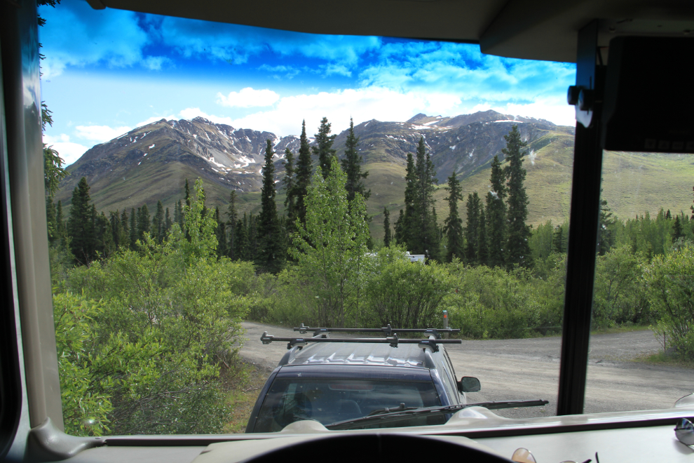
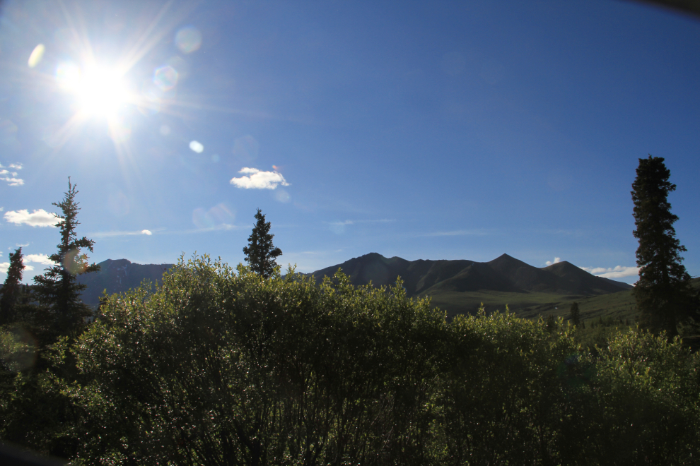
When we had finished getting our rig and camp set up at 6:20, this was the view out the front windows.
Cathy decided that a batch of margaritas would be a great way to celebrate each day of our new RVing life, and Tombstone was our first test of the idea. Yes, I agree 🙂 The littlest family member joined us shortly after I shot this photo.
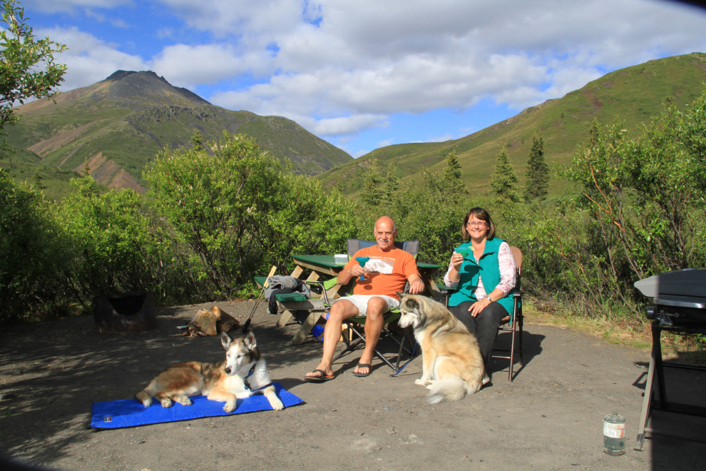
The sites are all very well spaced, but only a few have views like this. Most people seem to prefer being in the forest. Outhouses and garbage cans are plentiful and clean, there’s lots of firewood available, and there’s a large picnic shelter for tenters if the weather turns bad.
There’s a short trail through the forest to the interpretive centre, which closes at 5:00 pm, and we took Monty and Bella over so Bella in particular could have a run and ball-play in the large parking lot.
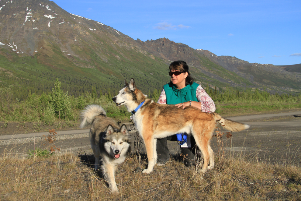
The sun was still high in the sky at 7:50. It dipped below the mountains at about 10:00 pm, but official sunset was a few minutes before 01:00 am, so we really were in The Land of the Midnight Sun.
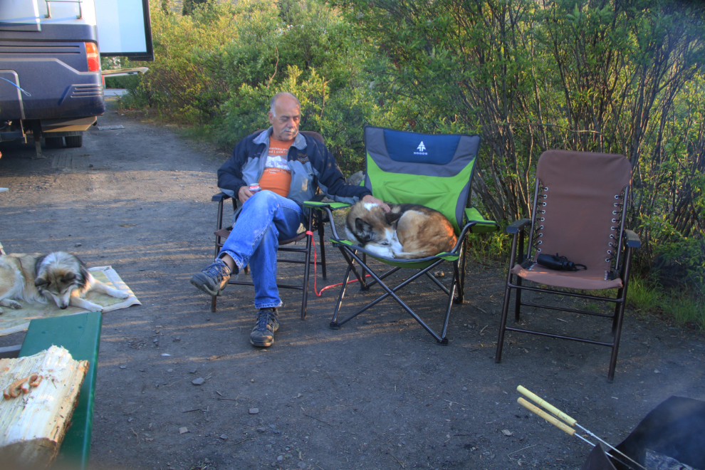
When we camped at Haines over Easter, Monty discovered that he really likes to sleep in camp chairs, so I bought him his own deluxe padded chair, which he loves. Poor Bella has to make do with a carpet, as if she was a dog 🙂
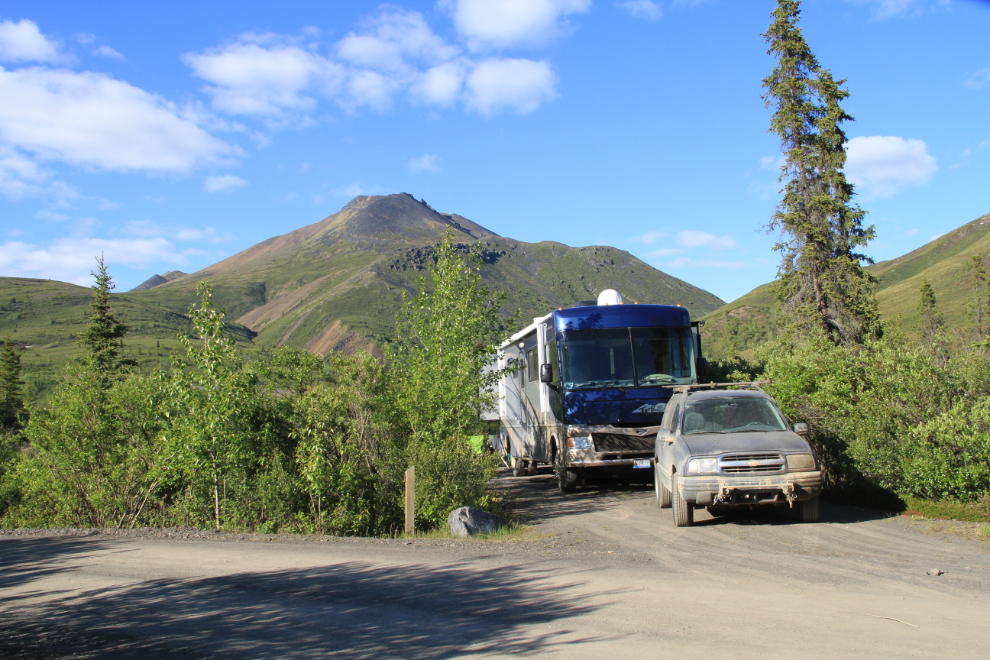
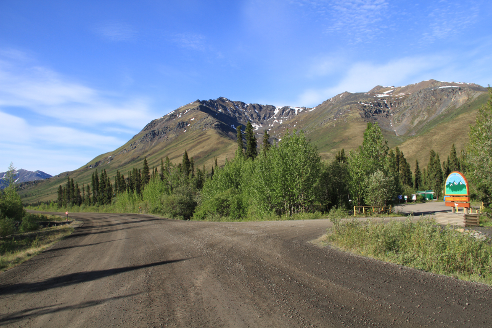
On Sunday morning, I did a bit of a photography walk to get more shots around the park, including this view of the entrance, looking south along the highway.
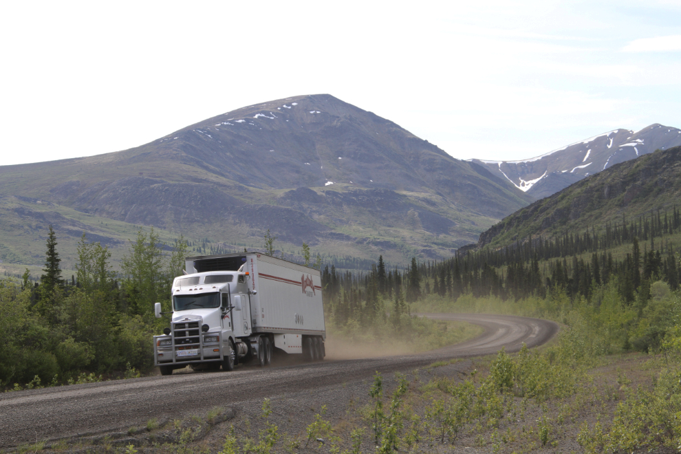
There’s very little traffic on the Dempster Highway, and even the noise of large trucks are barely noticeable from our campsite. We were going to walk the dogs over to the interpretive centre along the road, but luckily it occurred to Cathy that the calcium chloride dust control is corrosive so would be hard on their feet.
Sunday was our day to take a drive up the highway, to at least Chapman Lake, at Km 116. That will be the next post.
