Yukon RVing: Dempster Highway to Chapman Lake
Most people who drive up the Dempster Highway only go as far as the Tombstone Range viewpoint at Km 74, not realizing that the best part of the highway starts just a few miles beyond that. On Sunday, we took the Tracker up to Chapman Lake at Km 116, and despite rather flat light for much of the day, had a wonderful experience.
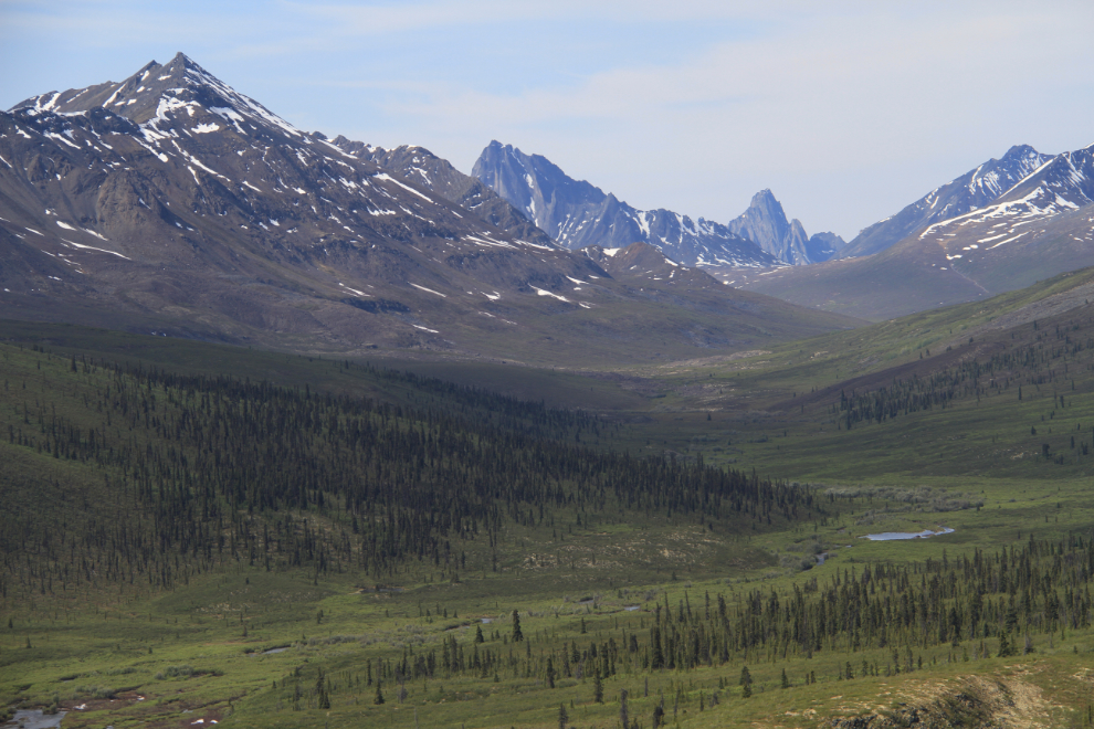
As always on this trip, we got off to a very lazy start, and didn’t get to the Tombstone Range viewpoint until 11:30. Every stop here is different – the weather and even just the light can change the view quite dramatically.
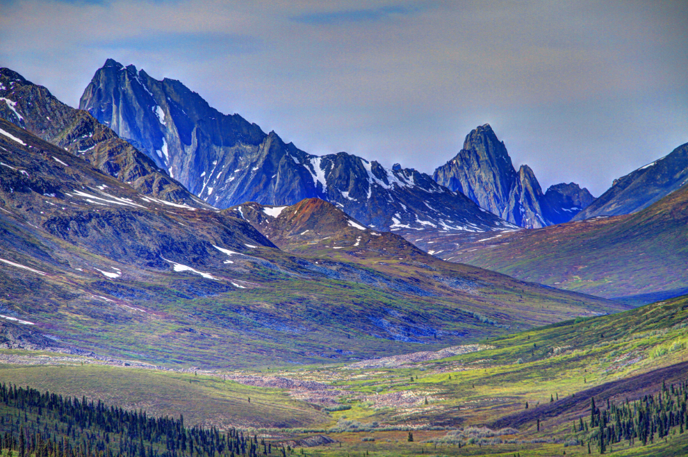
This is a fairly radical HDR (High Dynamic Range) version of the scene above.
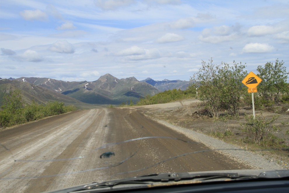
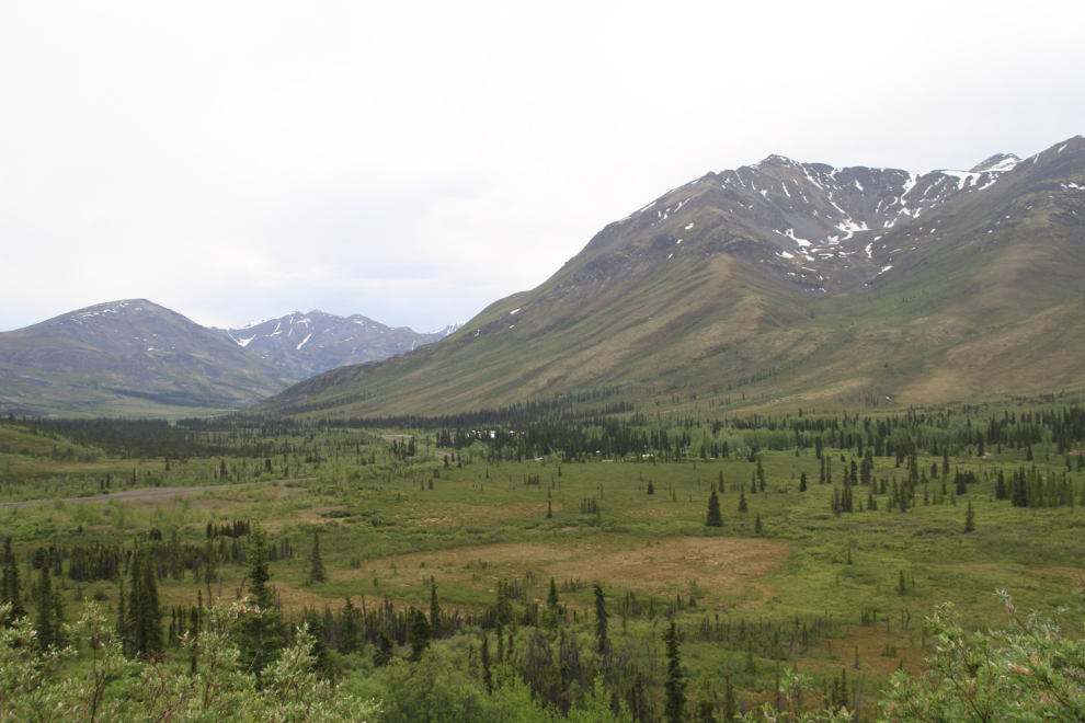
North Fork Pass summit is one of the spots on the Dempster that I particularly love. Only 5 km past the viewpoint, this is where the country changes dramatically. At 1,400 meters (4,593 feet), it’s the highest point on the highway, and marks the Continental Divide between the Yukon and Mackenzie River systems.
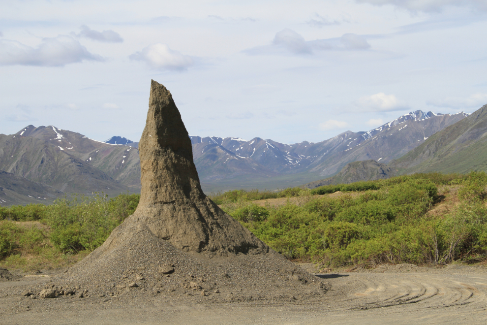
Fun in the North Fork Pass gravel pit. There are apparently artists working for the Department of Highways here 🙂
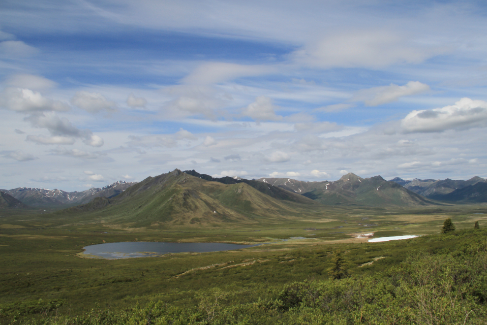
The spectacular descent to the north from North Fork Pass summit. The lakes below are unusual – the one to the left never has ice on it past late May, the smaller one on the right stays frozen all summer. That probably means that the one on the right sits on deep permafrost, which is ground that is permanently frozen.
This is a better look at the lakes.
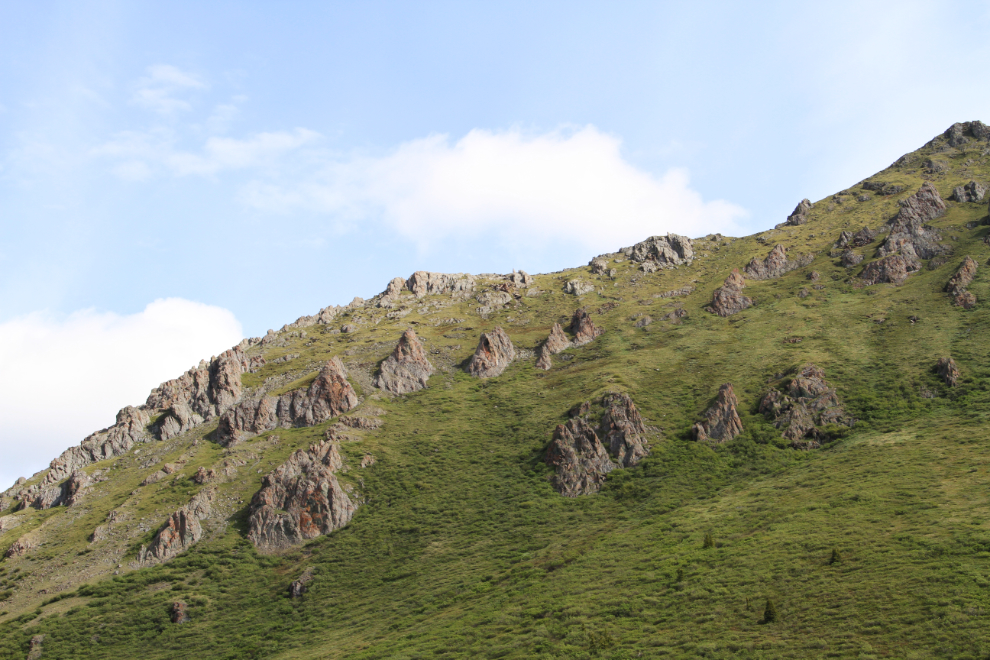
The complex and often fascinating geology along the Dempster is one of the aspects of the drive I never tire of.
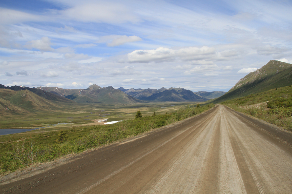
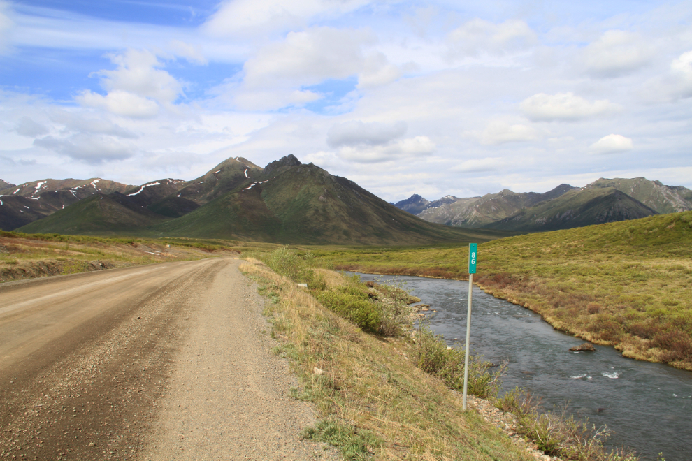
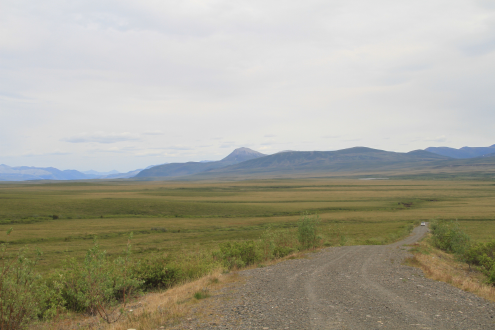
The view north at Km 86, along the East Fork of the Blackstone River.
At Km 97.9, a road leads off to the west, to a microwave station. There’s very little room at the top to turn around, but the view is great and it’s a fine base for some off-trail ridge hiking.
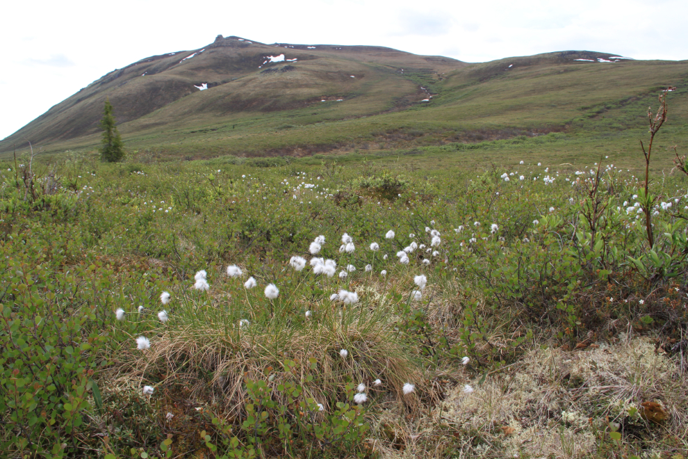
I’ve never seen so much of the lovely Arctic cottongrass (Eriophorum callitrix) as on this trip – mile after mile, thousands of acres of it.
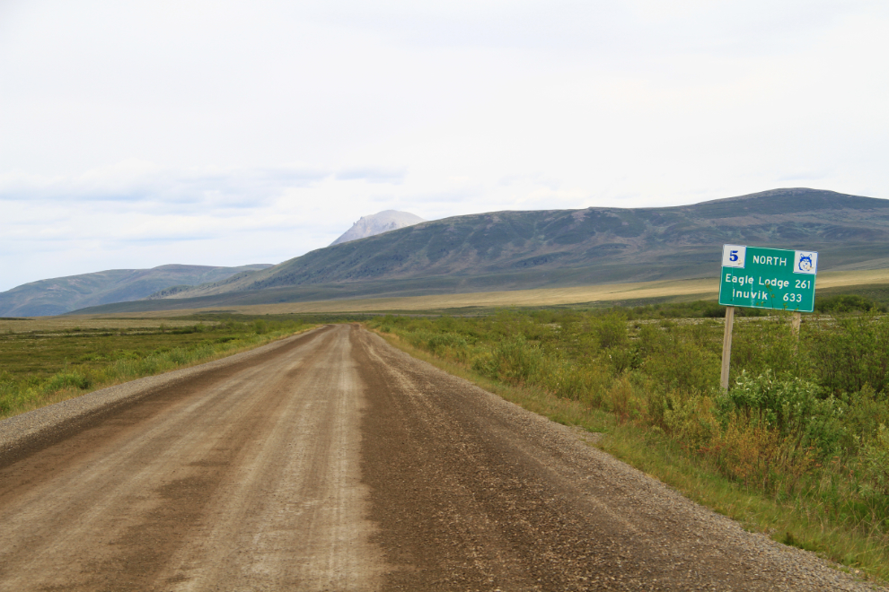
Distances are vast here – from Km 100.8 of the highway, it’s 261 km (162 miles) to Eagle Plains Lodge, where basic services can be found, and 633 km (393 miles) to the full services of Inuvik. Be sure that your vehicle and related skills such as knowing how to change a flat tire are up to this.
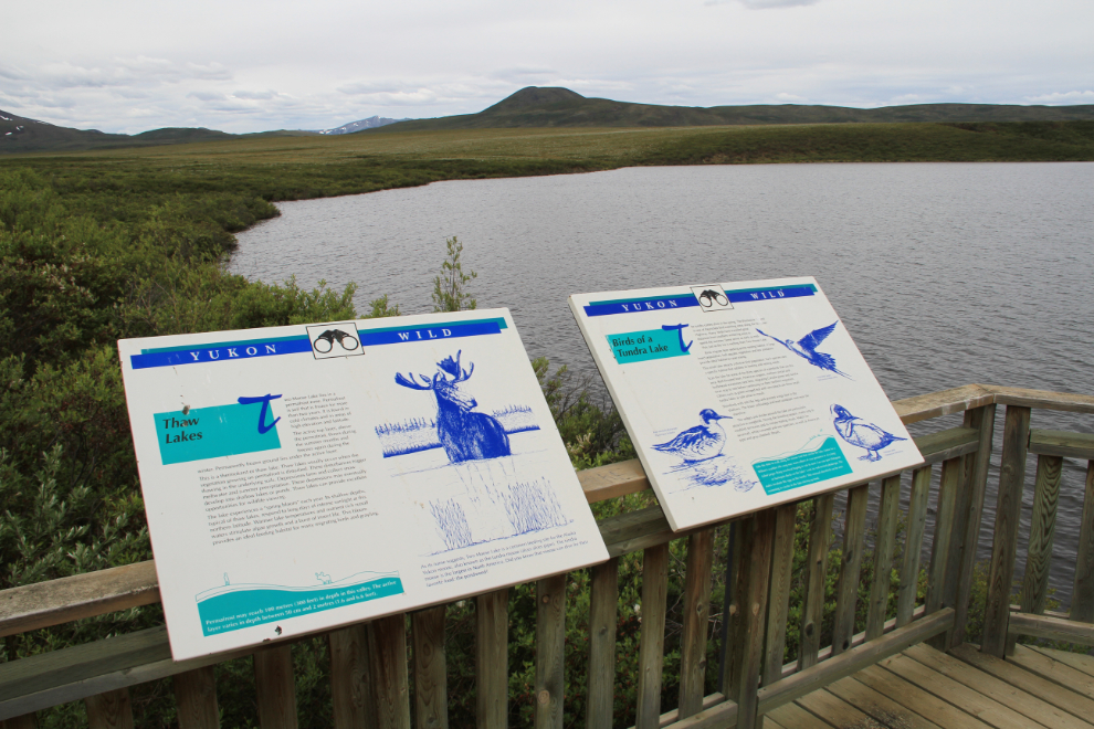
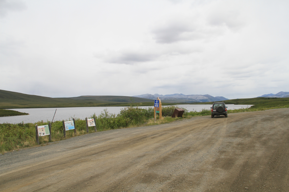
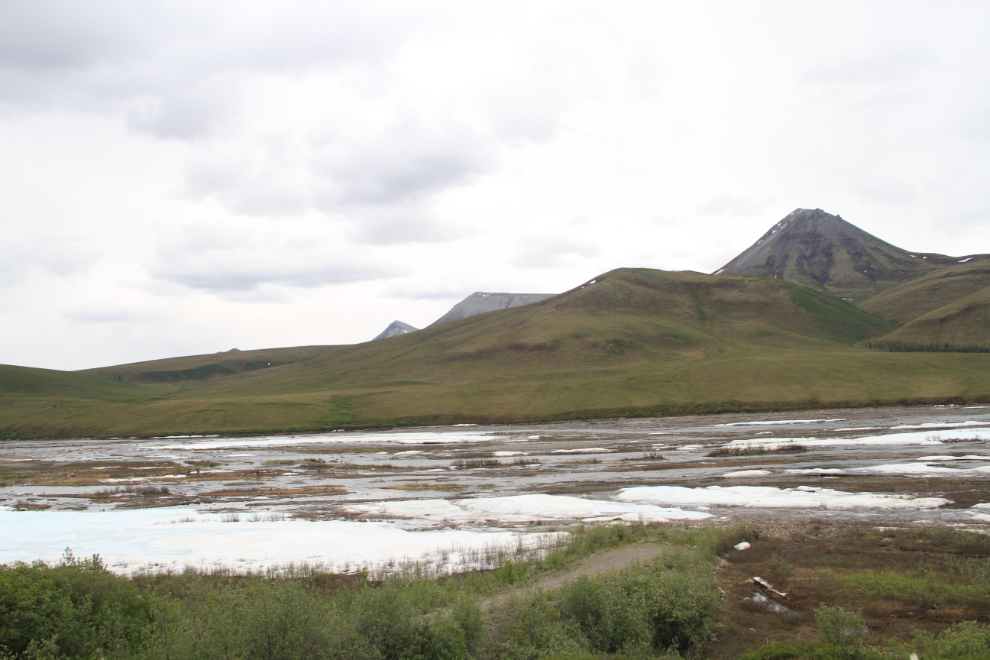
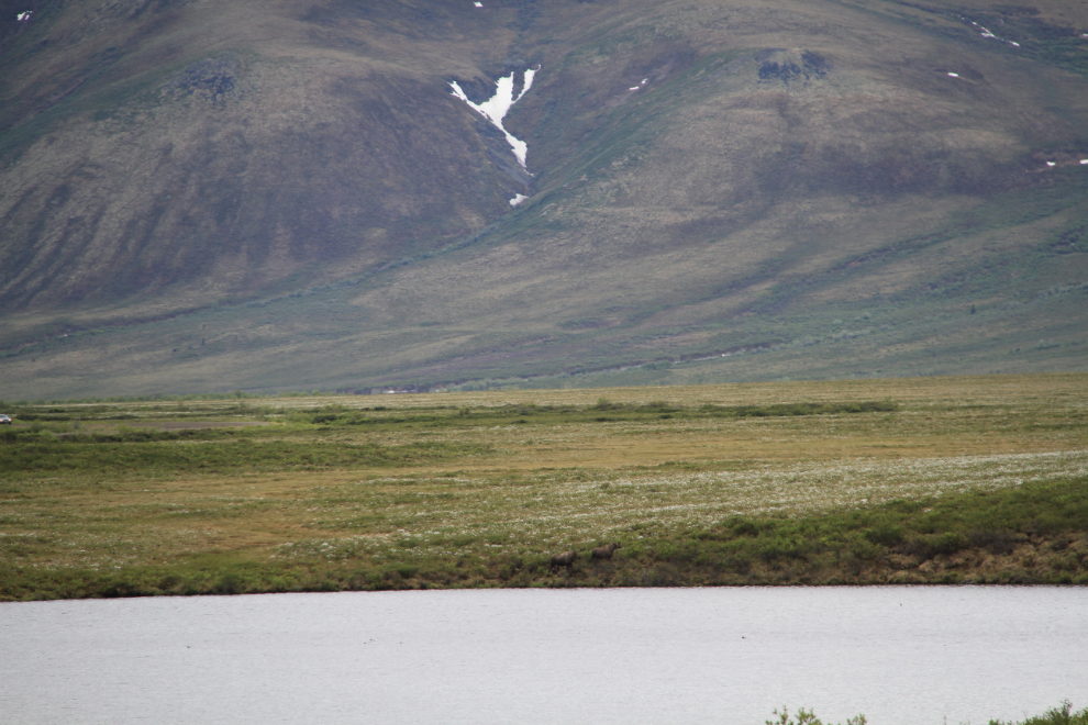
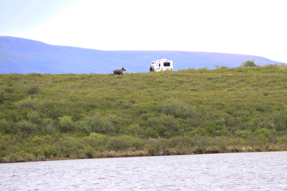
Two Moose Lake is reached at Km 102.5.
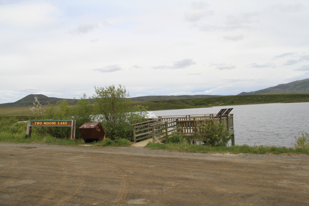
The viewing deck at Two Moose Lake has 4 interpretive signs about the lake’s formation, birds and mammals, and life for the first peoples of the region.
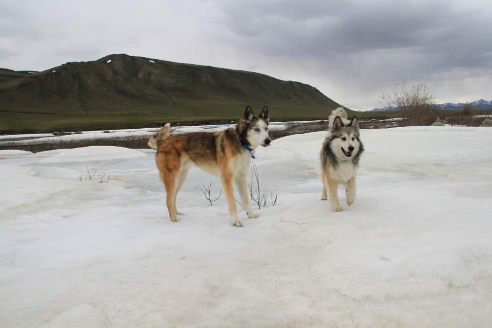
Monty was certain that he saw something in the bushes along the lake, but we couldn’t figure out what (and we didn’t let him out to confirm) 🙂
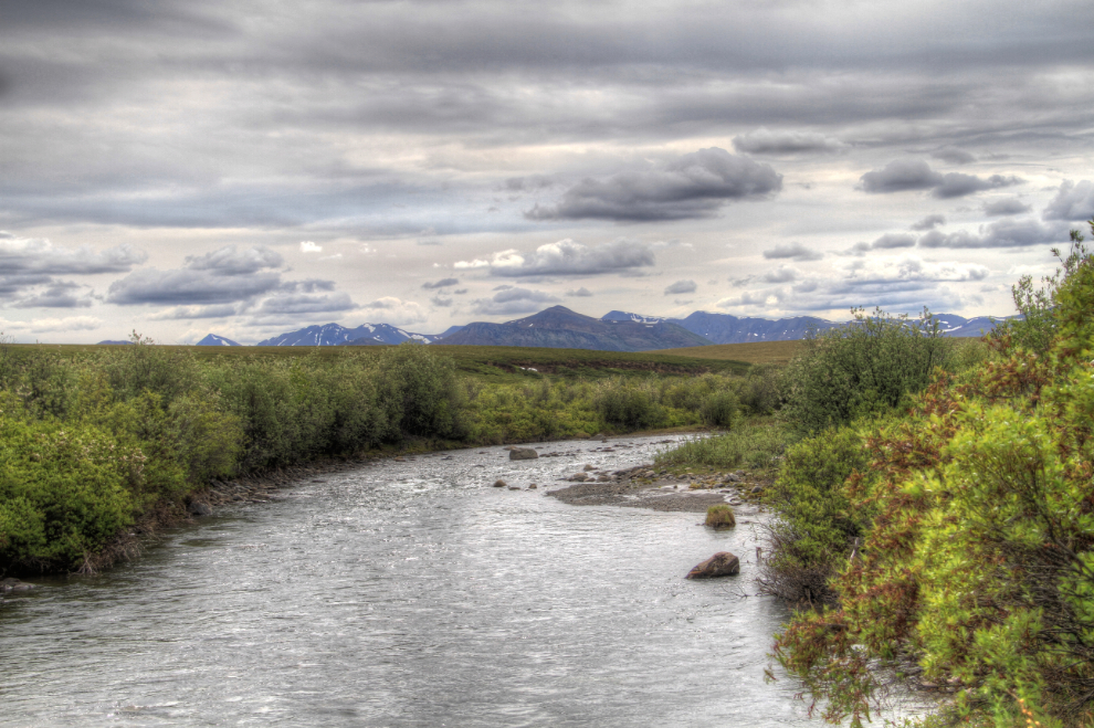
This is one of my favourite photos from this day, looking up the East Fork of the Blackstone River from a large rest area at Km 107.6.
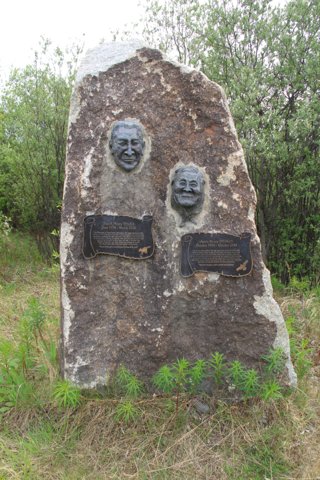
This lovely unmarked memorial on a short side road at Km 113 surprised me. It honours Joe and Annie Henry, who were both born near here at what was known as Black City. It was a collaborative work that was begun in 2002 after Joe’s death by artists Jackie Olson (granddaughter of Joe and Annie), Harrison Tanner, and Bela Simo.
Chapman Lake at Km 116 was our turnaround spot, partly because the bugs were so bad (the only place on our entire trip that they were). It was still only 1:15 – adding considerably to your Dempster experience doesn’t take long.
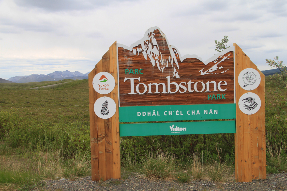
The sign marking the southern boundary of Tombstone Park isn’t in a photographically-pleasing location, but the northern one, at Chapman Lake, is.
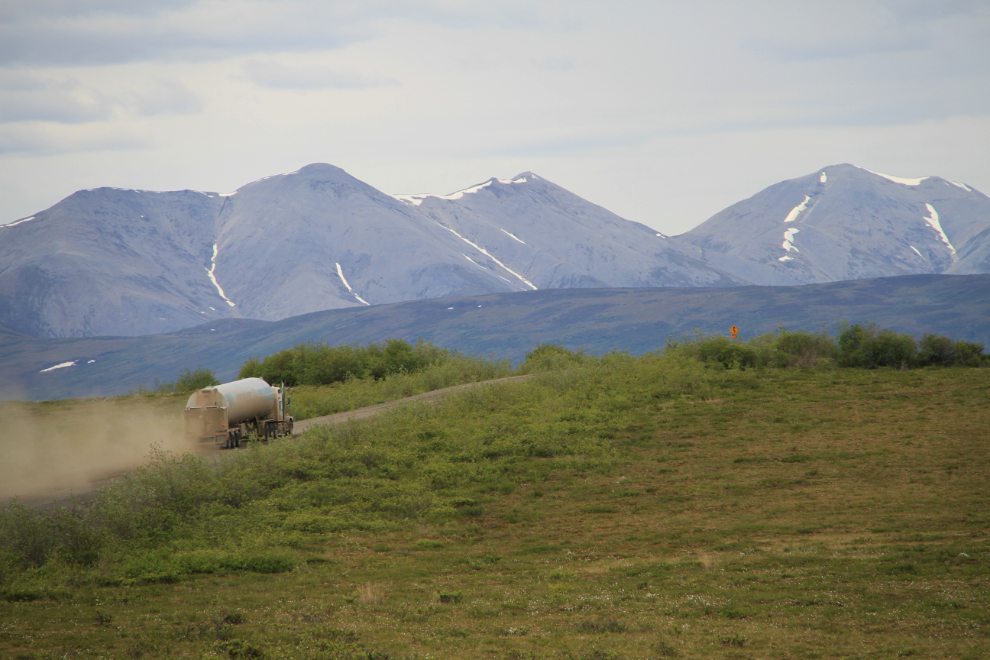
Traffic continued to be very light – perhaps 4 vehicles per hour, one of those a truck, 2 of them RVs and the other a regular car or pickup.
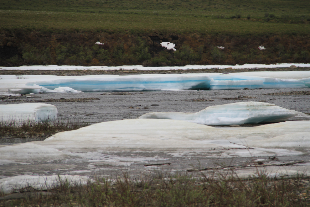
It was time to give the kids some major play time, so we went down a rough track to a spot along the Blackstone that still had a thick buildup of ice in many places.
They loved it! 🙂
I really wanted to wade across the river to see the old blue ice, but didn’t want to keep Cathy and the kids waiting that long.
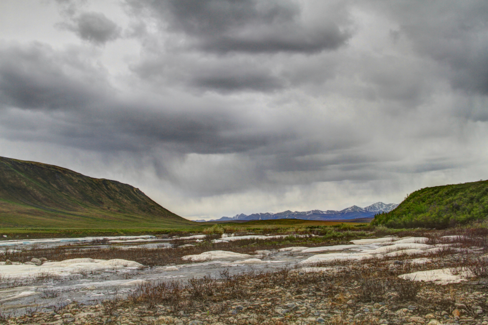
Storm clouds were rapidly building to the south and we could see that rain had begun, so we headed back towards our campground just before 2:00.
When we reached Two Moose Lake, one of my eagle-eyed scouts (Cathy this time), spotted, as advertised, 2 moose on the far side of the lake! They can be seen on the shore, with a few more acres of Arctic cottongrass behind them.
The moose climbed the bank above the lake, and as they reached this point, saw something that spooked them badly and they took off running to the right as fast as they could.
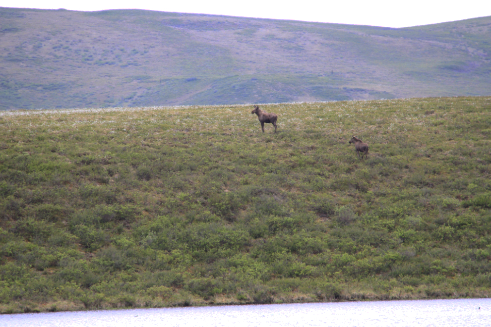
Still going full speed, across the highway to the north, much to the delight of the people in the motorhome, no doubt. We never did see what had scared them – a grizzly or a pack of wolves, I would think.
Almost home just before 3:00 – that’s the Tombstone Mountain Campground in the centre of the photo.
Although we questioned that evening whether we should leave Tombstone, we decided that we did want to see Dawson City again, so made plans to head down the highway on Monday afternoon.