Winter road trip, Day 2 – Muncho Lake to Grande Cache
Thursday, December 7th, was a long day with an early start. A look out my window at the Northern Rockies Lodge at Muncho Lake, with the moon lighting up the snowy peaks, got my blood pumping in a hurry. I took a few photos from the room, and at 06:20, I hit the road, with the temperature sitting at an incredible +7°C (45°F). Although I hoped to make Grande Cache, I wasn’t committed to it – I’d just see what the day brought.
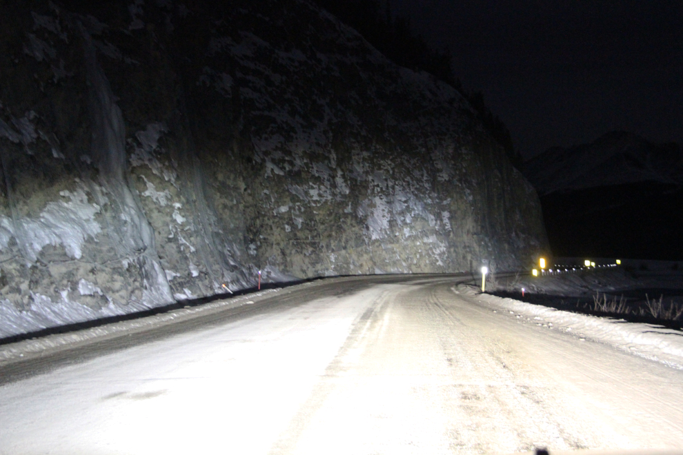
It’s a shame to drive through this country in the semi-dark, but with only 6½ hours of daylight now, some large sections of highway have to be black.
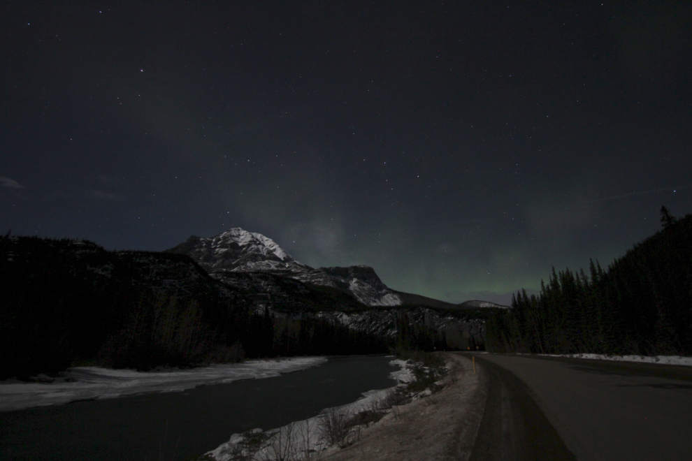
I stopped along the Toad River to try out the new 10mm Rokinon night-sky lens that I bought for my camera. While the aurora was intended to be the main subject, after seeing what it does here, it may get much more night use. The aurora in the first photo wasn’t even visible to my eye, but the camera picked it up.
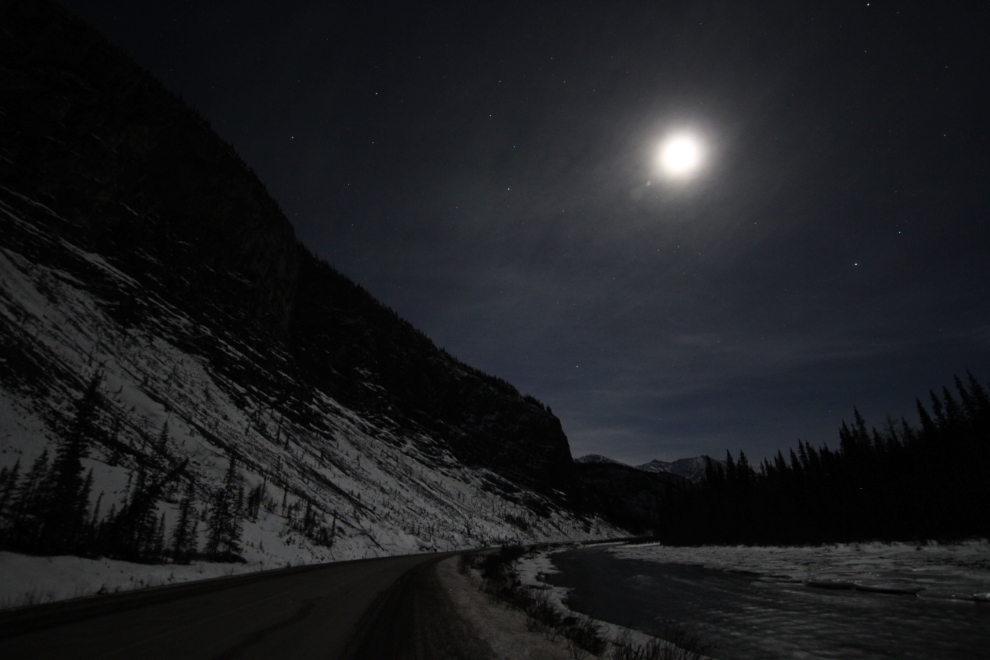
Looking back to the west, with the 3/4 moon lighting up the world beautifully.
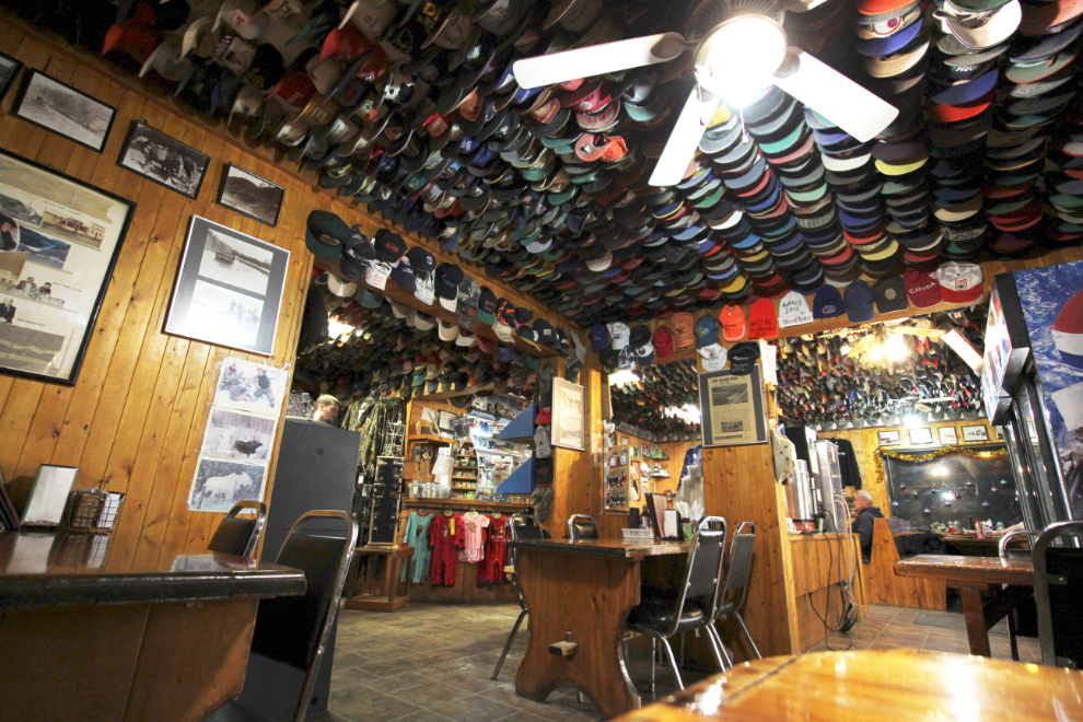
I stopped at the Toad River Lodge (famous for its hat collection) for breakfast and a bit of gas. I could make it to much cheaper gas at Fort Nelson, but especially in the winter, having some extra fuel is a good idea. Breakfast was a big disappointment – the lodge was so hot it was almost unbearable. It’s all Filipino staff now – they must have a different idea of what comfortable is. Wifi access is now $2, too.
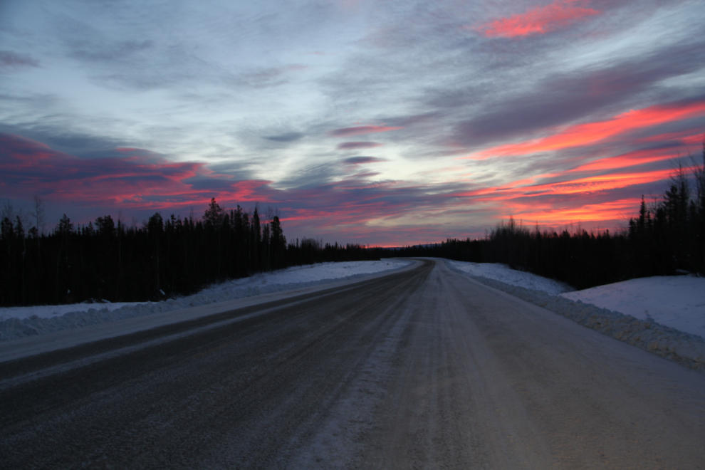
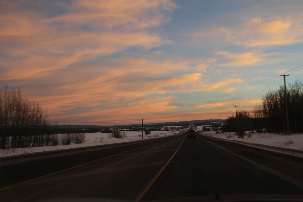
The first blush of dawn just east of Summit Lake, at 08:57. There had been no traffic at all until after 08:00, but I met a semi every now and then after that.
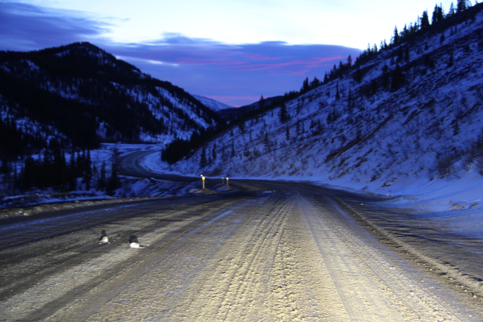
The sun started to light up the sky as the climb up Steamboat Mountain began at 09:24.
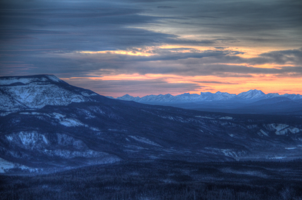
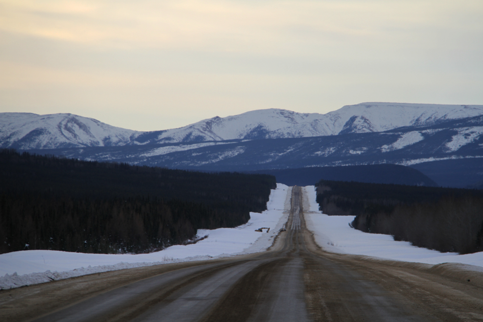
The view to the south from a pullout near Steamboat Summit.
There was an impressive temperature inversion happening. While climbing in altitude normally decreases the air temperature, it was +1 on Steamboat Summit, but as I dropped down into the valley, the temperature dropped to -11C. The reason is basically that when there is no wind, cold air settles and warm air rises.
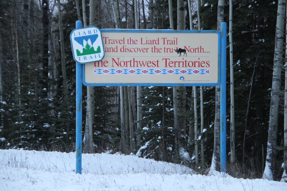
As I got near Fort Nelson, this sign got me wondering what the Liard Trail, the start of the route to Yellowknife, would be like in the winter. It was certainly amazing on my motorcycle a few Augusts ago.
The temperature was back up to +5C when I took this photo at Km 386.7 – the rock formations ahead are a pretty sure sign of the presence of oil and gas deposits. The industry crash hurt this area very badly economically, but it’s sure safer to drive now.
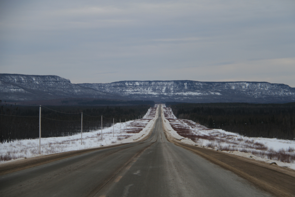
The view at Km 323.8, with the Northern Rockies ahead.
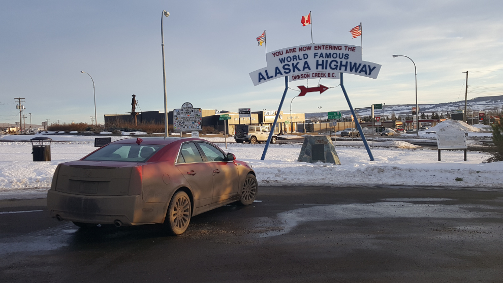
It was an uneventful day, and I reached Dawson Creek, Mile 0 of the Alaska Highway, as the sun was starting to dim. I took a photo of my very dirty car at 3:30 pm, and posted the photo on Facebook with the comment: “She dresses up pretty in town, but I love Ruby when we get out of town and she turns into a dirty girl 🙂 “. That got some good comments!
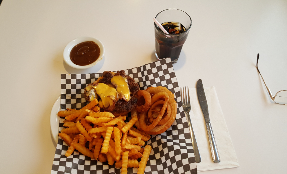
From Mile 0, I drove a couple of blocks to the best 1950s-themed diner in the North, Stuie’s. The Smokehouse Burger was excellent, for only $10.99.
East of Dawson Creek at 4:39, 11 minutes after the official sunset.
Coming over the ridge west of Grande Prairie and seeing the size of the city spread across the prairie below me is always a shock to me. It’s about 5 times the size it was when I started driving bus charters from Whitehorse to Grande Prairie in the early 1990s.
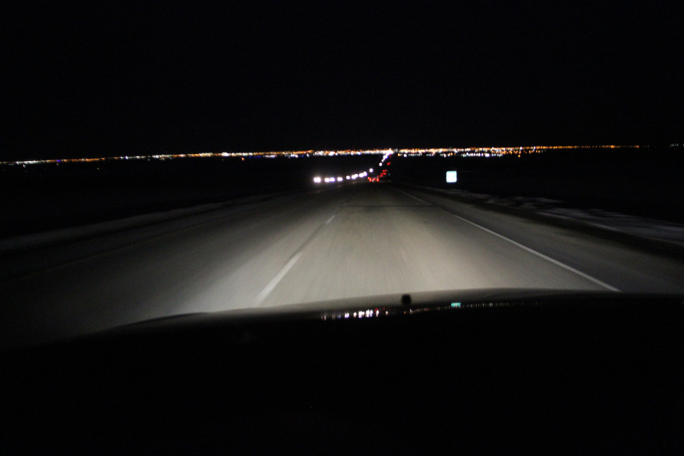
Highway 40 south of Grande Prairie was terrible, with bad light and very heavy traffic. The oil/gas crash apparently had no affect on this region – the lights of gas camps can be seen everywhere in that used to be wilderness along the highway.
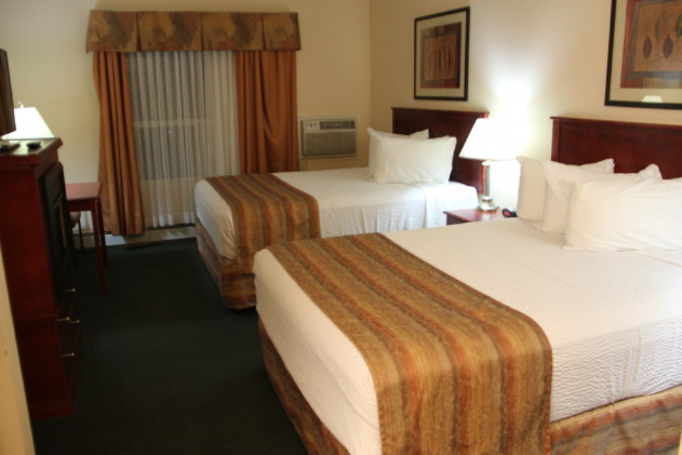
I reached Grande Cache just before 7:00 pm, having put on 1,035 kilometers (643 miles). I made a random choice to go to the Grande Cache Inn and Suites, and was very pleased to get a room for $89 with BCAA discount. While the staff was great and the room immaculate, the Internet didn’t work, even with an ethernet cable, but I was too tired to get much work done anyway.
The next day should be a fairly easy day to Airdrie, near Calgary, but if the weather was great along the Icefields Parkway, I could get distracted 🙂