A visit to Alert Bay and the U’mista Cultural Centre
We had almost given up on seeing Alert Bay, but decided to try again on Day 28 of the trip, May 23rd, before heading south.
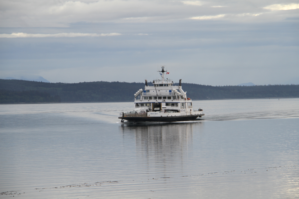
The ferry Bowen Queen approaching Port McNeill dock at 08:20. Normally the smaller Quadra Queen II is on this run, but she’s out of service getting a paint job.
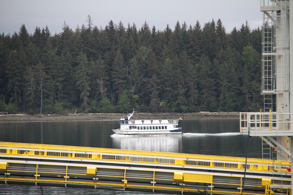
While we were waiting to board, the Spirit of Yalis also arrived. In the summer, she runs tours around Vancouver harbour, but when school is in session, she serves as the Alert Bay school bus. There are 2 elementary schools in Alert Bay, but students in Grades 8-12 take the Spirit of Yalis across to North Island Secondary School in Port McNeill.
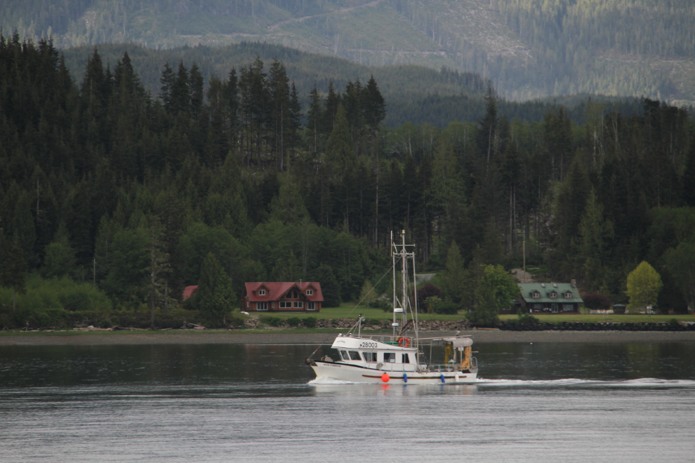
Passing the lovely fishboat New Fisher, which was built in 1981. The pair of homes with red roofs in the background are currently on the market for $3.3 million if any of you are looking for a good boat-watching home 🙂
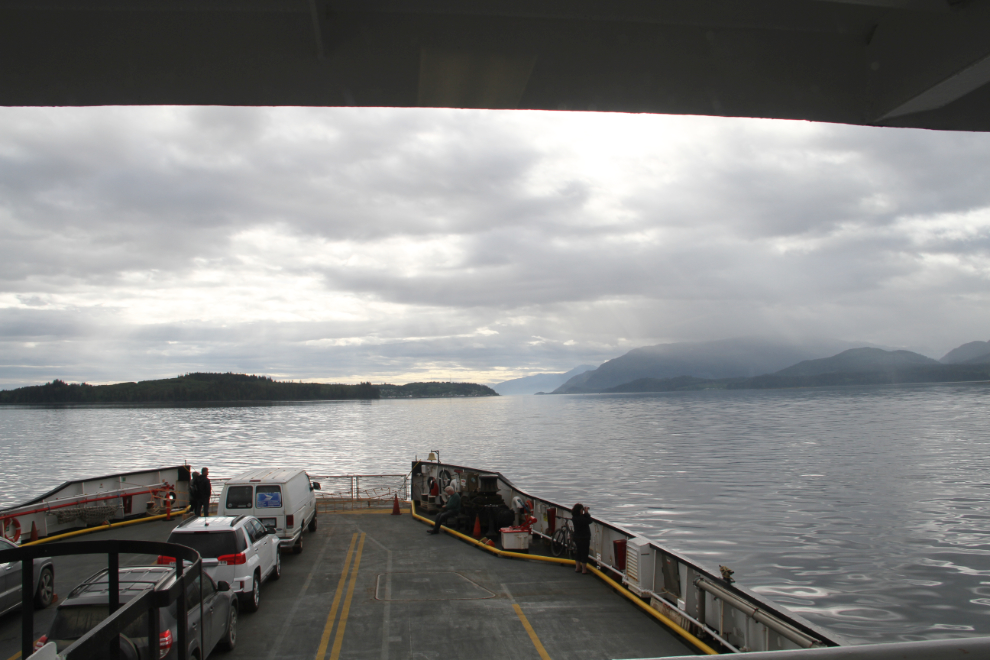
The Bowen Queen was only about 20% full. I’m surprised at how slow the tourist season is starting – I expected to see many more people by now.
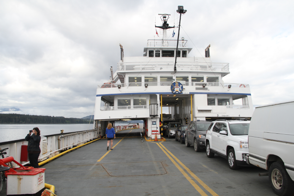
The weather ahead is what was forecast for the day – cloudy with showers.
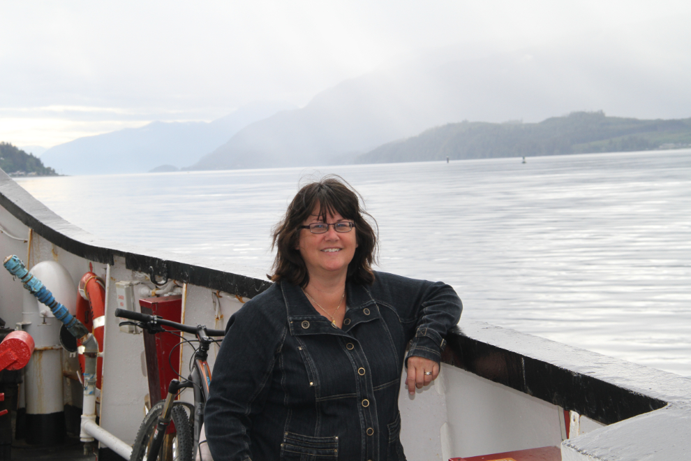
Cathy never gets enough of the ocean. We need to find a way to be on or beside it more often.
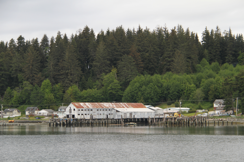
A long-abandoned cannery in downtown Alert Bay, seen as we were nearing the dock at 09:15. Our day was rather tightly defined, as we needed to be on the 12:30 ferry back to Port McNeill. My niece comes to Alert Bay a lot, though, so we had a good guide to make the visit efficient.
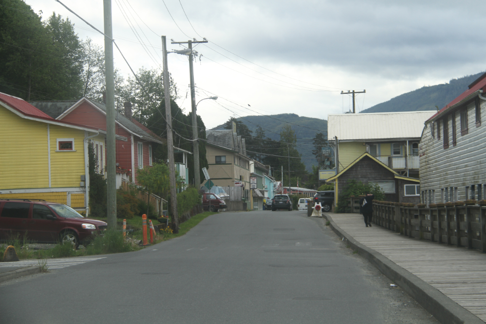
The main drag in Alert Bay. The only community on Cormorant Island, it has 1,200-1,500 residents according to the Village of Alert Bay website, and there’s a good assortment of shops, from groceries to a small hardware.
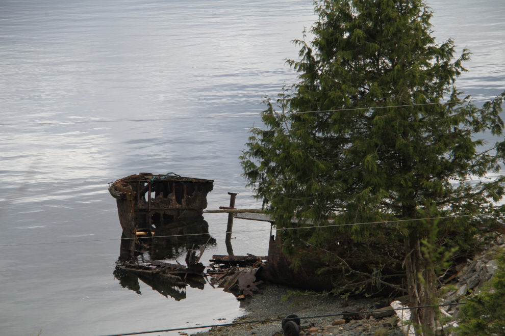
There’s a very interesting shipwreck on the north shore (at the foot of Sandyville Road), but we didn’t go down for a closer look.
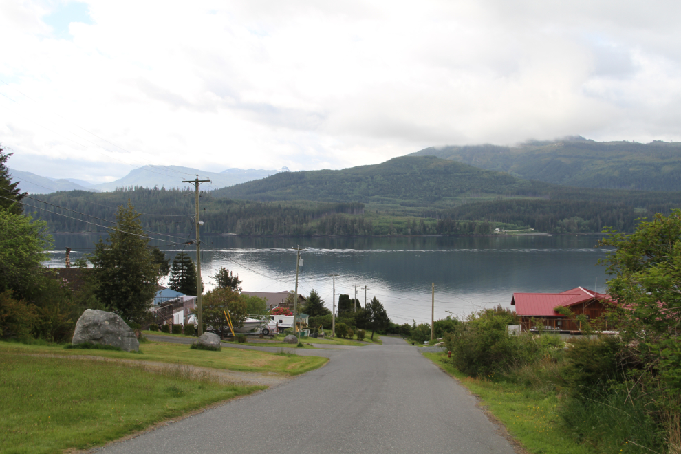
Looking down from near the crest of the island. There are a few homes currently for sale in the $150-200,000 range.
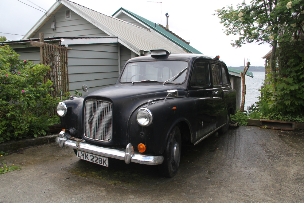
We spotted some oddities in Alert Bay, including an old double-decker bus and this London taxi. The taxi may still be in use, but the bus definitely isn’t.
Our first stop in a light rain was the original ‘Namgis burial grounds, where a crew was cutting the long grass. The sign on the left says “Please respect ‘Namgis burial grounds. To be viewed from the street only.” The ‘Namgis First Nation has the largest population on Cormorant Island, with 600-750 people.
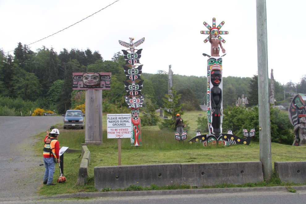
The ‘Namgis burial grounds are in the heart of the community.
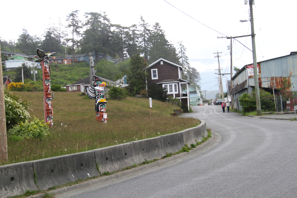
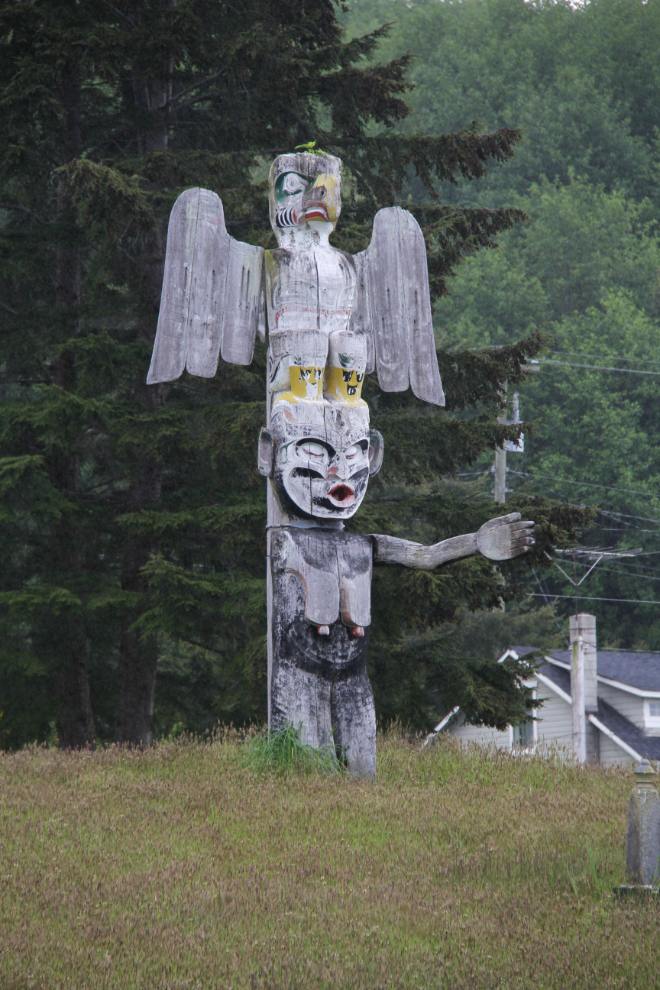
The condition of totem poles in the cemetery range from looking new to being almost rotted away. This pole shows Thunderbird and the Wild Woman of the Woods, known as Dzunukwa in the Kwakwaka’wakw mythology of this area. All along the coast, she is typically seen painted black, with drooping breasts and arms outstretched to catch children.
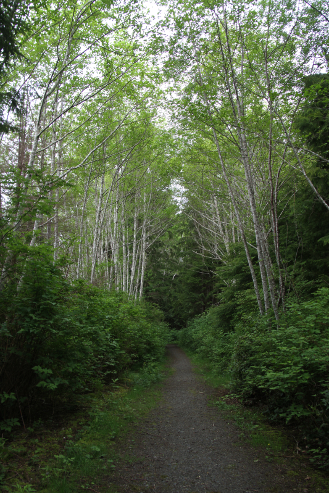
Next we went up to the Alert Bay Ecological Park. The trail we started on was very pleasant.
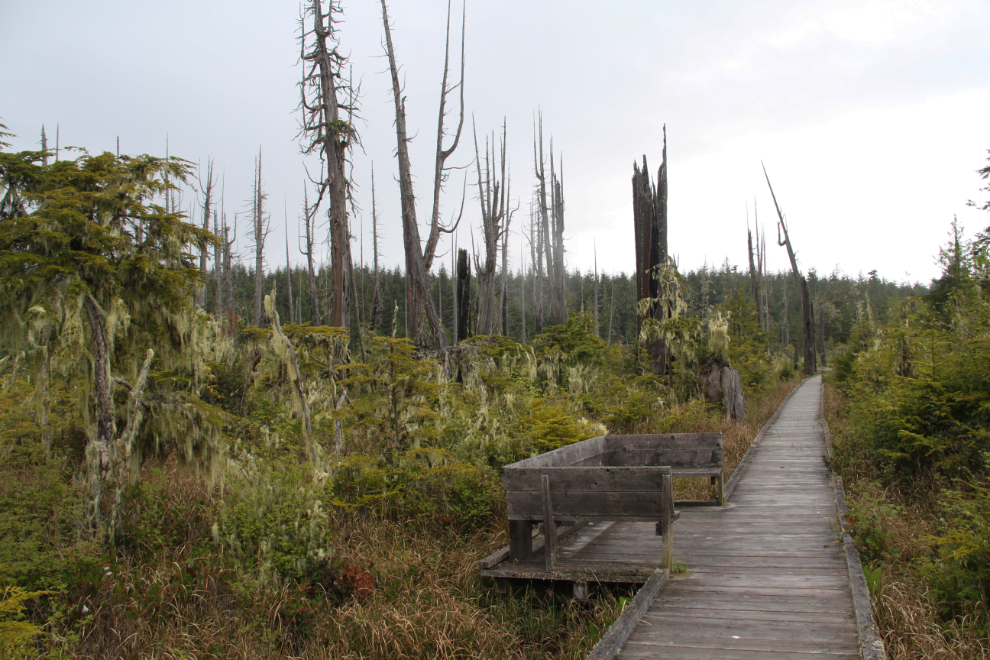
As we reached the most significant feature of the ecological park, the light rain turned into a downpour. None of us were dressed for that, and we made a hurried retreat to the car.
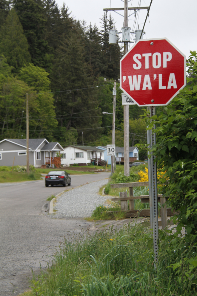
Wandering through residential areas, I noticed that the stop signs are bilingual.
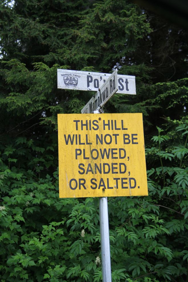
Another sign posted on pretty much every street with a steep hill says pretty much “If it snows or gets frosty, you’re on your own” 🙂
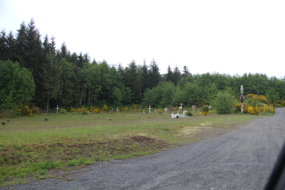
Driving back towards downtown, we passed another cemetery…
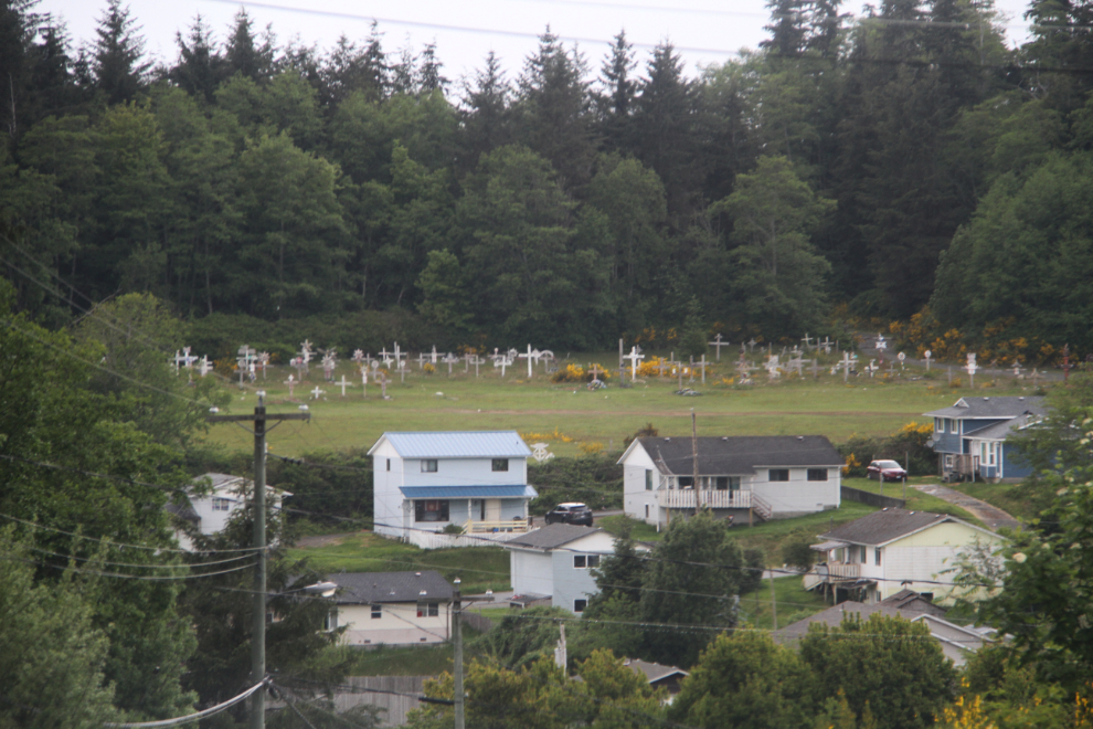
…and then another one across the small valley. All of a sudden it felt like Dawson City, where there are more graves than current residents.
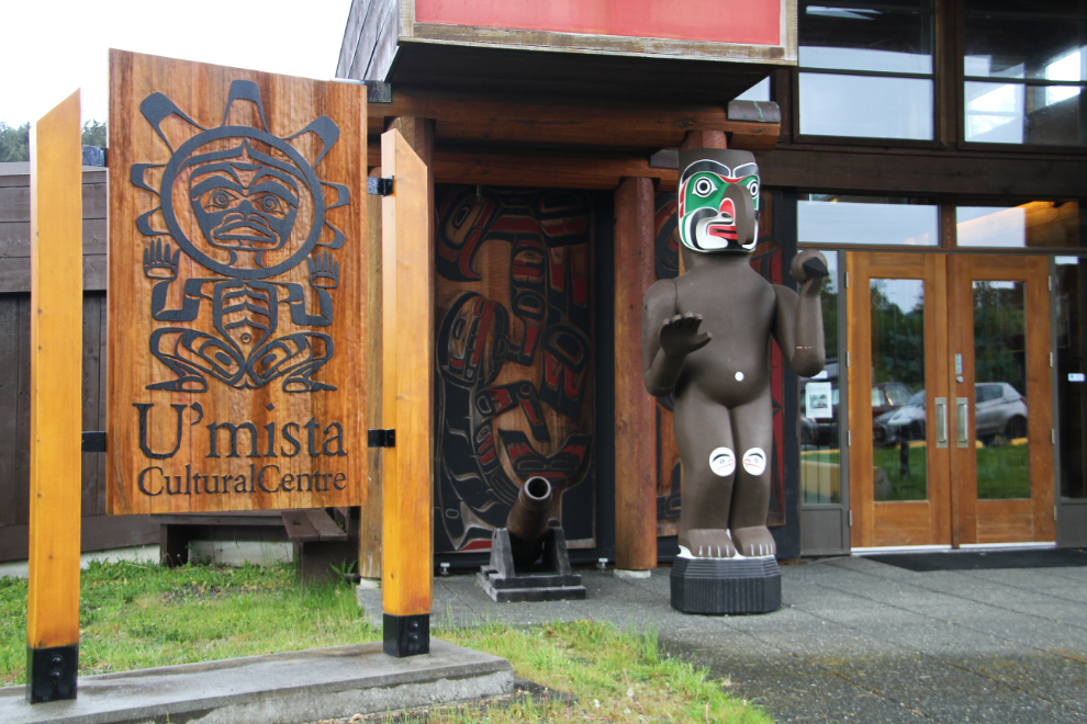
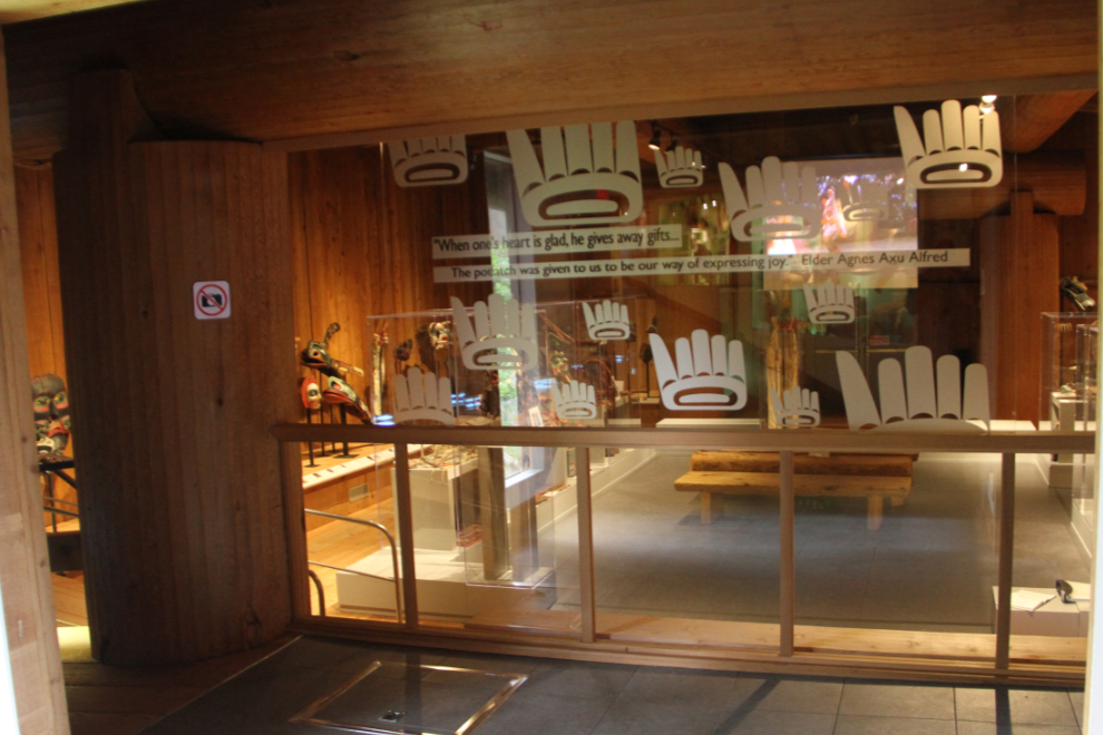
The primary “must-see” for our visit to Alert Bay was the U’mista Cultural Centre. U’mista means “the return of something important”, and the centre opened in 1980 to house potlatch artifacts which had been seized by the government during the period when potlatches were banned.
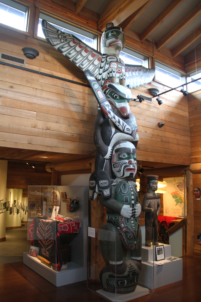
Visitors to the centre are greeted by this totem pole. It was carved by Charlie James to thank the St. Paul’s Anglican Church Girls’ Auxiliary in Victoria for their kindness and support for his daughters and other Kwakwaka’wakw children. It was housed in Christ Church Cathedral from 1925 until the 1990s when the church was renovated. At that time, the pole was returned to Alert Bay. It tells the story of Charlie James’ family. From the bottom to the top, it shows a sulpin fish, a supernatural frog, an ancestor, a killer whale, a bear from the Undersea Kingdom, and the supernatural bird Kulus.
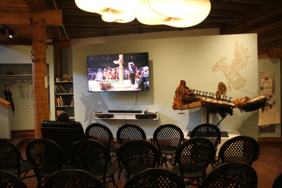
Cathy and I started our tour by watching a 15-minute film about potlatches. I knew the basics but it was a good way to re-focus, and to expand on what I knew.
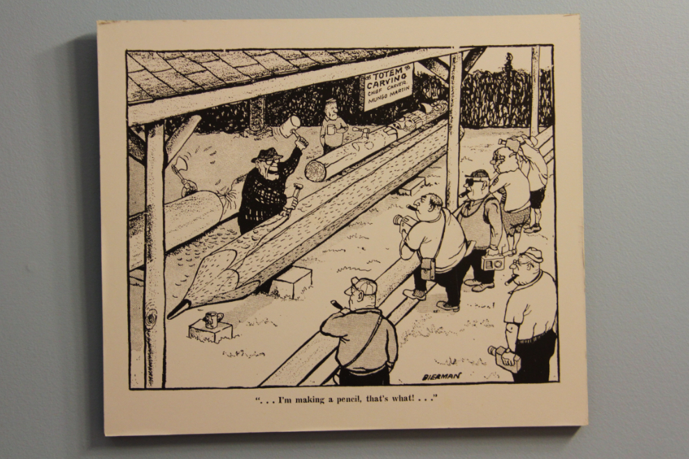
I really like to find some humour in a museum. This cartoon by Len Norris, from the late 1950s, I think, shows renowned Kwakwaka’wakw carver Mungo Martin carving a pencil.
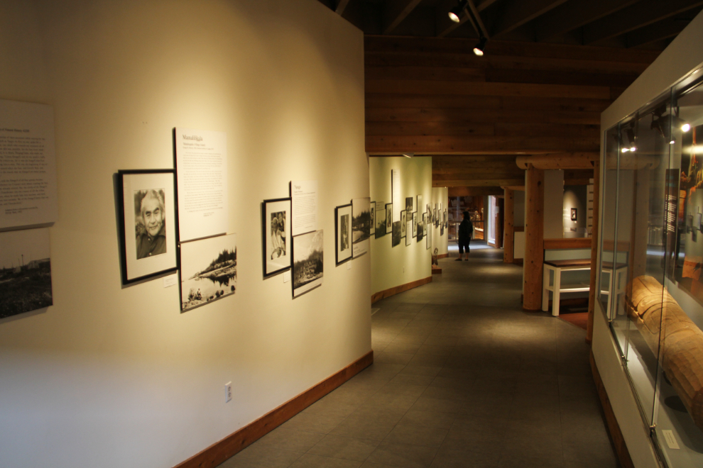
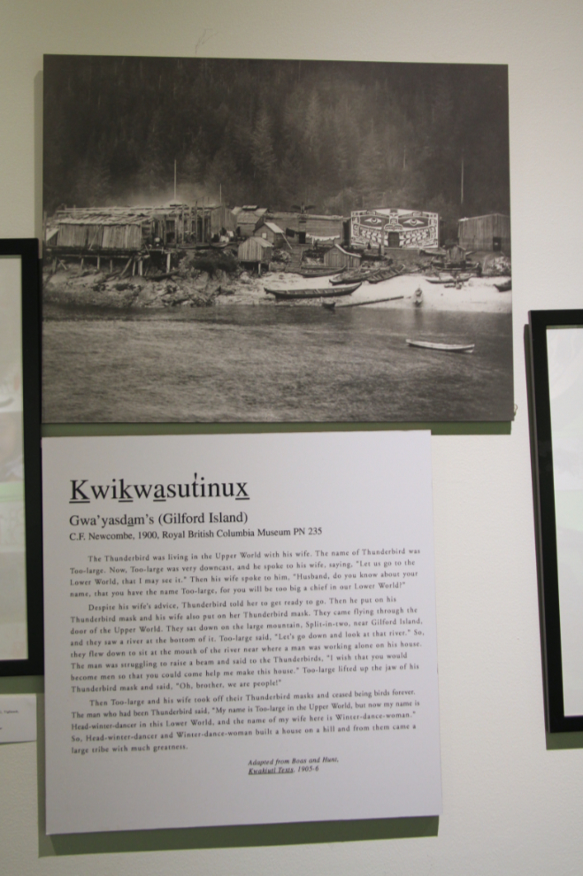
Along this wall are origin stories of the Kwakwaka’wakw villages. Each has its own version of the story of the people’s creation.
A closer look at the panel about Kwikwasutinux (Gilford Island), with a photo of the village from 1900.
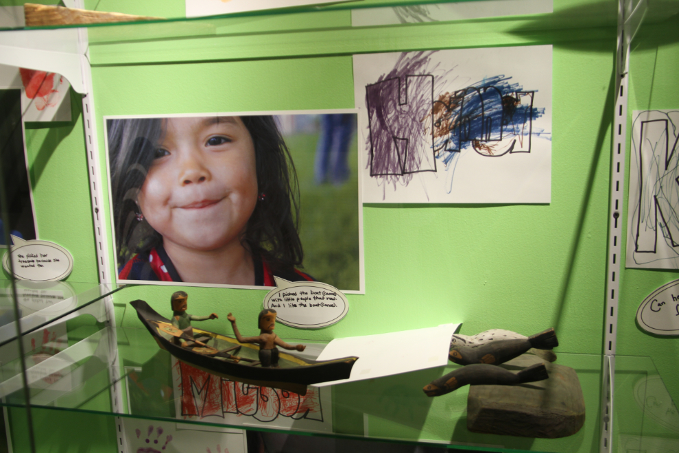
Engaging children is extremely important in a facility like this. When the Amlilas Day Care visited U’Mista, each child was asked to choose their favourite treasure from the museum collection, to show others. Hanna chose this little canoe with 2 men paddling it.
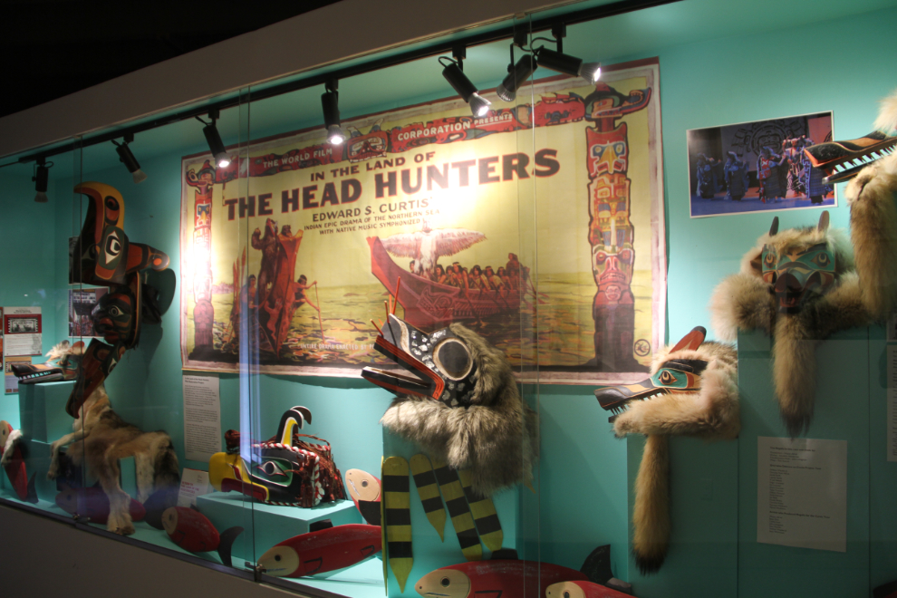
Next was a large display about Edward S. Curtis’ famous film “In the Land of the Head Hunters“. The first feature-length film to exclusively star Native North Americans, it was filmed in the area around Alert Bay in 1914.
I’d love to show you some of the wonderful pieces in the main gallery, but photography isn’t allowed in that room. A significant feature of that room is that visitors aren’t separated from the priceless artifacts by a sheet of glass. The emotional difference that makes in connecting with the pieces is huge. Or at least is it to me.
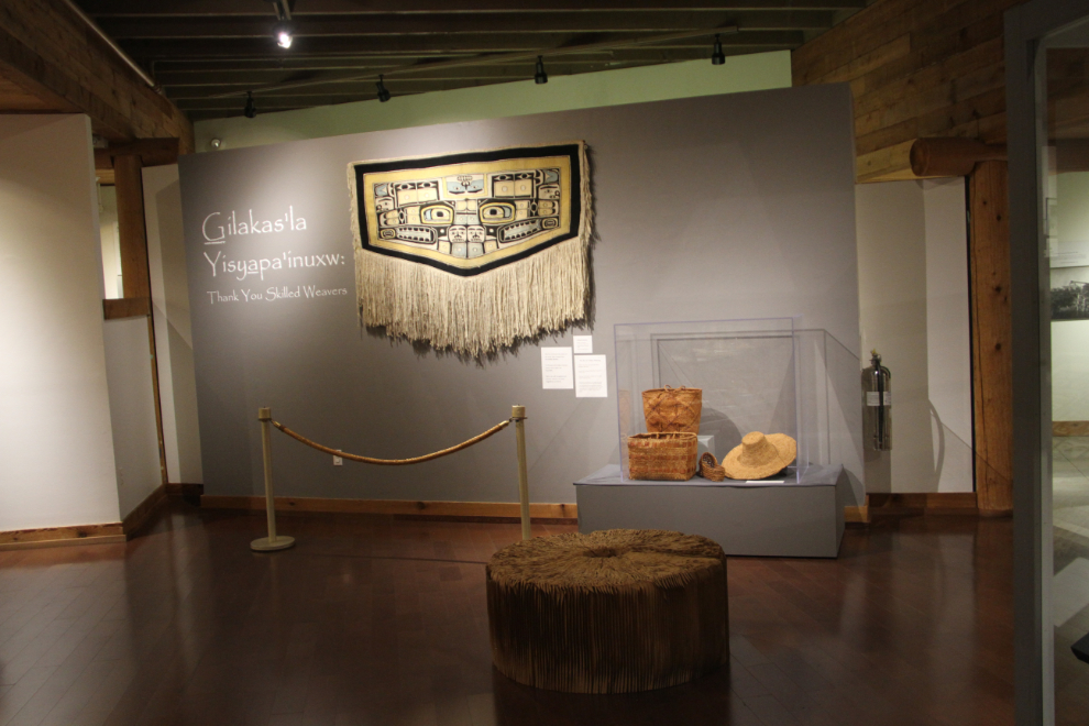
The final room displays a wide variety of weavings, from Chilkat blankets to a thimble-sized vessel created with incredibly thin strands of grass.
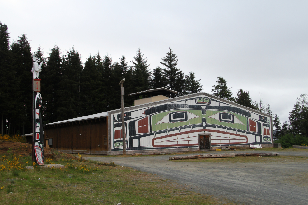
Our final “must-see” was the ‘Namgis Traditional Big House, where several totem poles stand.
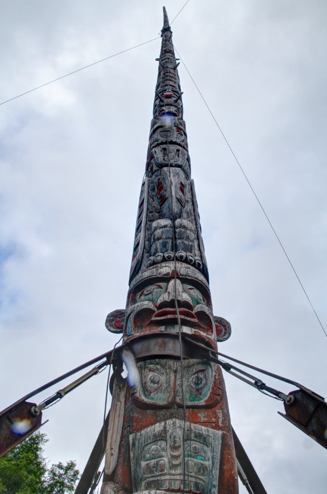
This is arguably the world’s tallest totem pole, at 173 ft (56.4 m). “Arguably” because the pole was built in 3 sections that were attached to make a single pole (some sources say it was only 2 pieces). An even taller pole that was a single 185-foot piece of wood used to be in Victoria, but it was taken down in 2000 because of several controversies, including aviation safety.
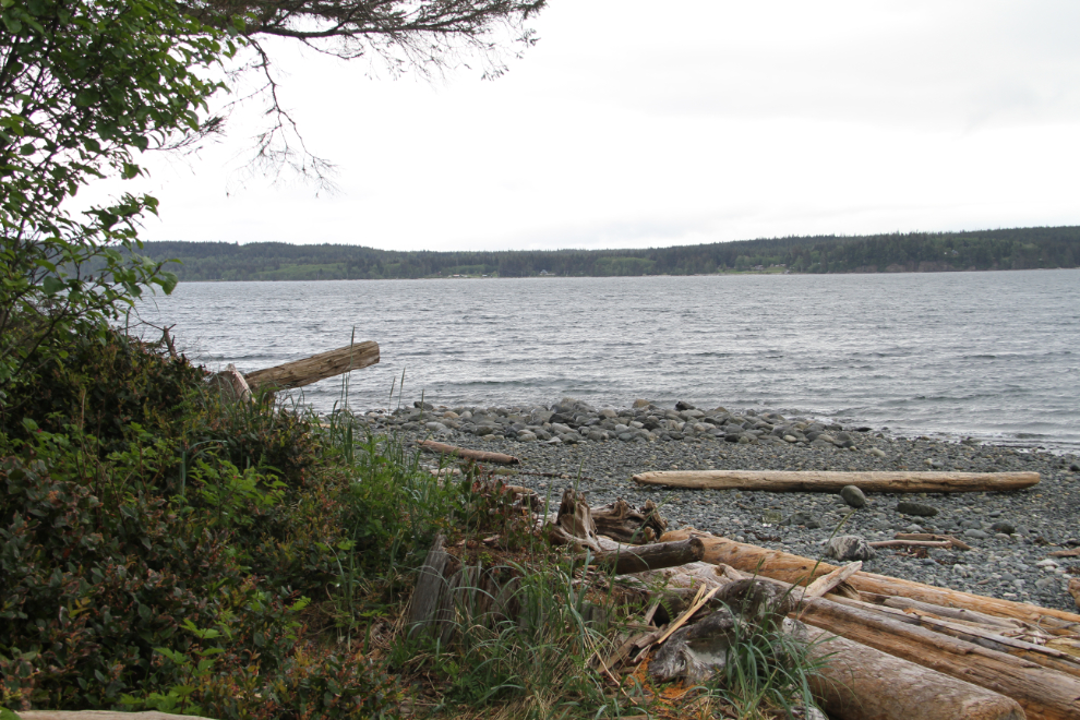
From there we went down an obscure bit of a road to an abandoned campground on the shore to watch for whales. While scenic, it wasn’t productive for seeing whales.
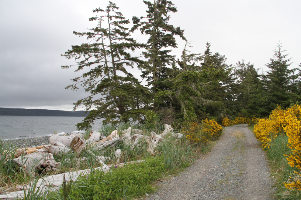
All over Vancouver Island, a yellow broom plant is taking over. Pretty, but it’s being quite aggressively fought as an invasive species.
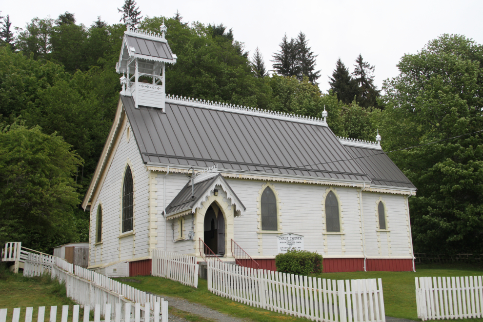
Back downtown, Cathy and Bobbie wanted to check out an arts-and-craft store, and I went looking at churches and boats. Christ Church (Anglican) dates to 1892.
The Pacific Wave was built in 1938.
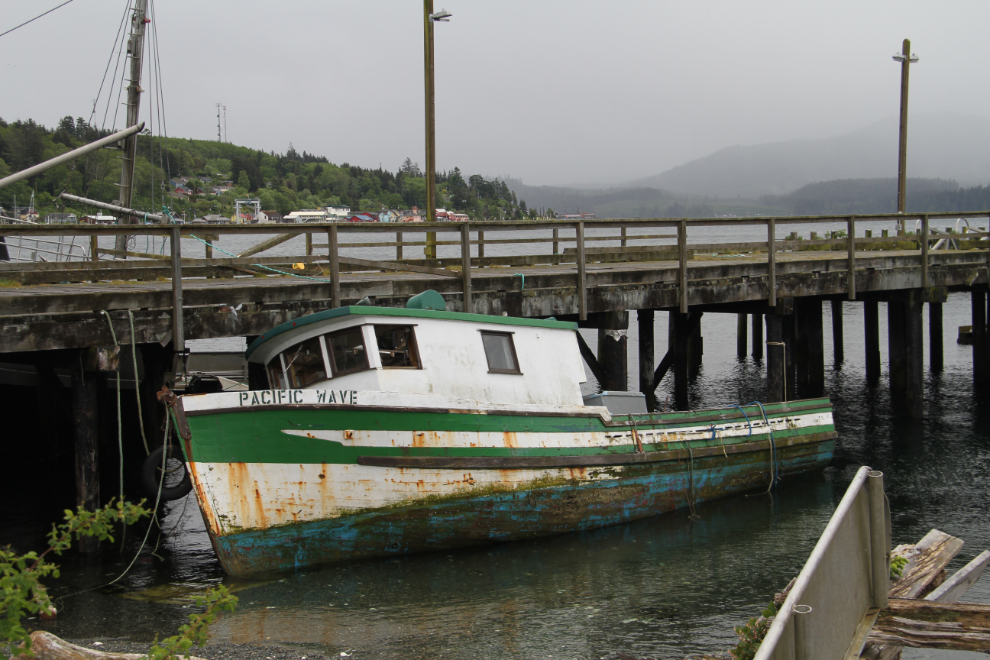
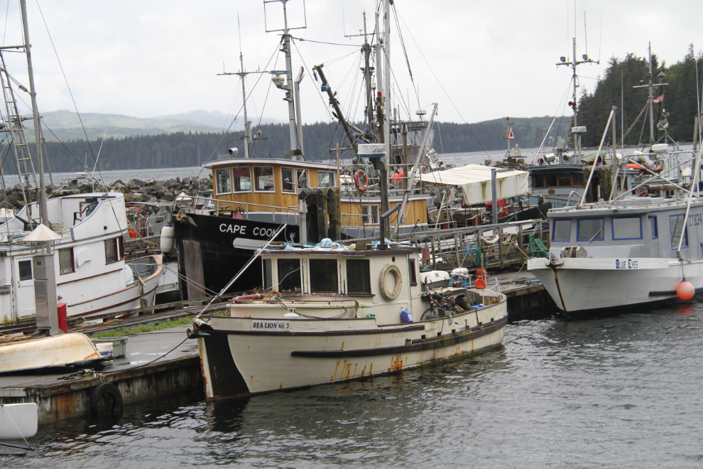
I don’t think I’ve ever seen so many derelict boats in one places, but there are some really fine old vessels as well, including the Sea Lion No. 3 (built in 1950) in the foreground and the Cape Cook (built in 1926) behind.
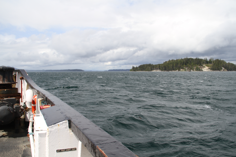
The Murphy’s Laws of Travel being what they are, the sun came out as soon as we left the Alert Bay dock on the ferry back to Port McNeill. That’s Haddington Island in the background.
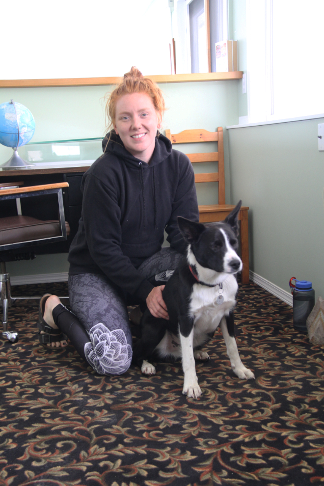
We were sorry to have to leave the Cedar Park Resort. Everything about it was top-notch, and at $33 a night it was the best value of any RV park we stayed at on the Island. We spent a lot of time with park owner Lisa and her 9-month-old border collie Benson, much it around our campfire in the evenings. By the time we left, we felt that we’d gained a friend (as had Bella and Tucker), and we hope to be back.
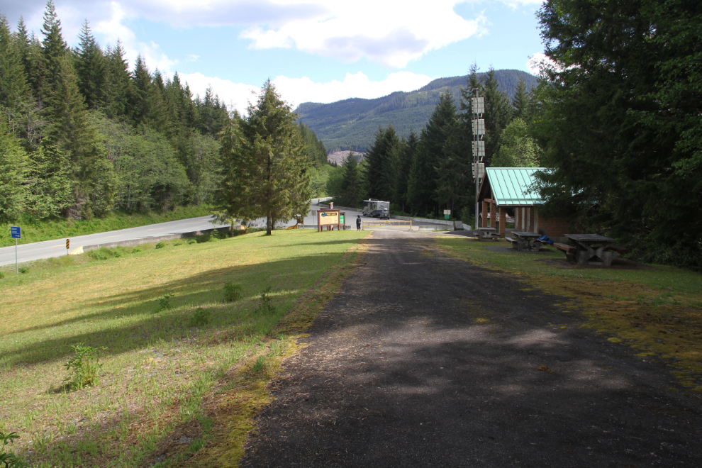
We had an easy afternoon of driving, only 184 km to the Ripple Rock RV Park north of Campbell River (see a map). At 3:00 we stopped at the very nice Hoomac Lake Rest Area along Highway 19 to walk the kids.
At 4:30, we turned off the highway onto the Brown’s Bay Forest Service Road. The road gets plenty of complaints from RVers and Cathy asked me to disconnect the Tracker as some of them had suggested, so she could drive it in.
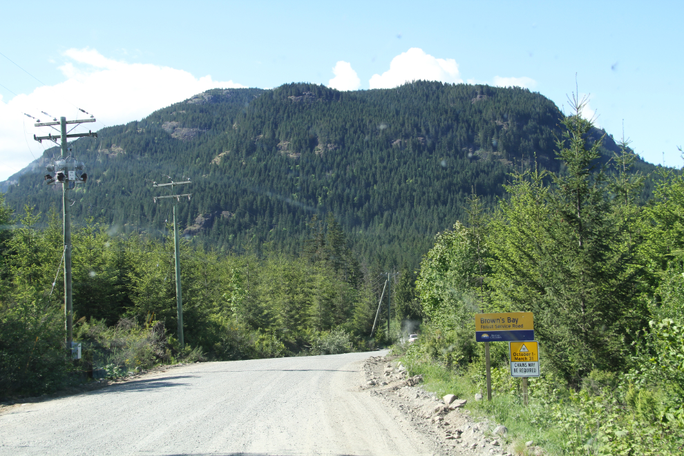
The road wasn’t bad. It’s gravel and narrow, even one-lane for a bit, but even meeting a semi on a narrow curve didn’t make it a bad road. At 4:45, we reached the RV park. We had reserved one night, but as soon as we saw the place, aded another night.
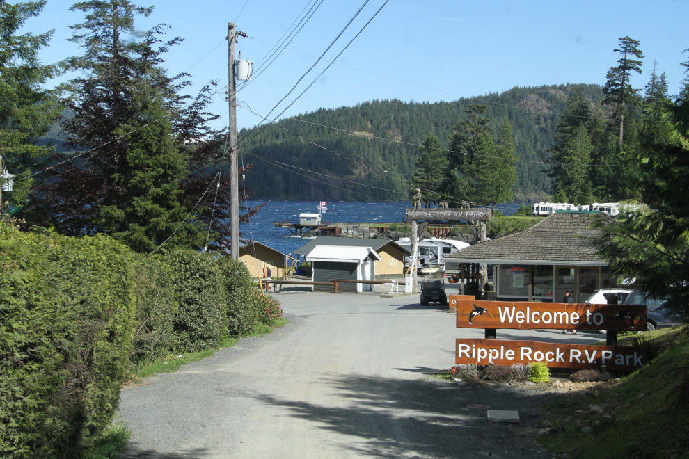
This was one of the views of Seymour Narrows from the lawn in front of the motorhome. The best view of the trip yet by a long shot.
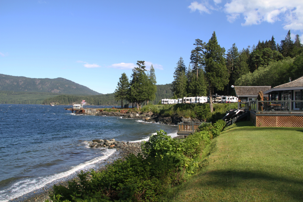
Although there was a hike that I wanted to do, we settled in for a day of relaxing and watching boats go by.
