Ripple Rock RV Park, and hiking the Ripple Rock Trail
Having quickly settled in at Ripple Rock RV Park the previous afternoon, Day 29 of the trip (May 24th), was Cathy’s day to just enjoy the sun and the boats going by in Seymour Narrows. I did a lot of that as well, but also spent a few hours hiking the Ripple Rock Trail.
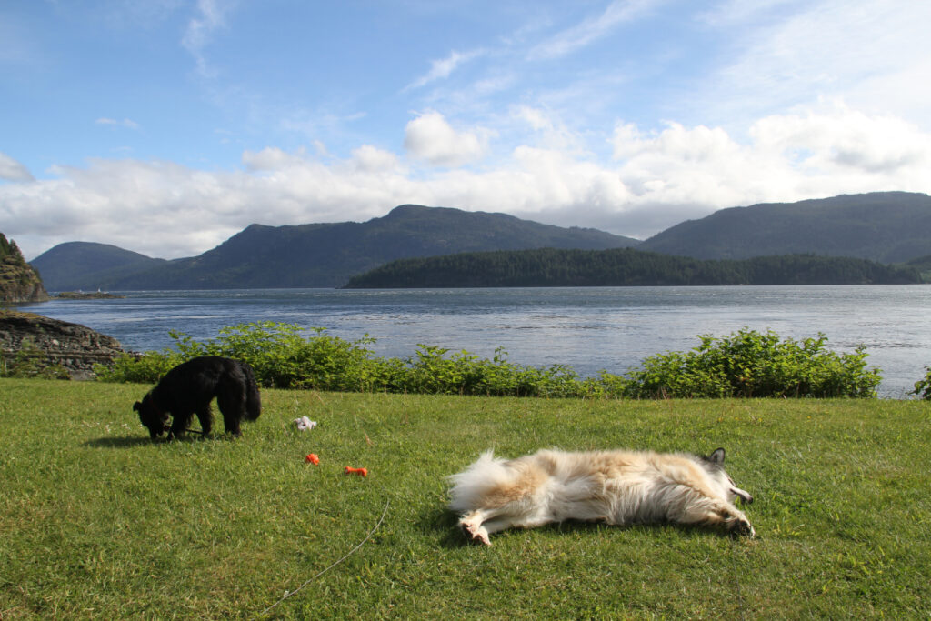
Cathy and I weren’t the only ones who enjoyed this place. The view may not have impressed Tucker and Bella as much, but warm sun and soft grass – ahhhhhh! 🙂
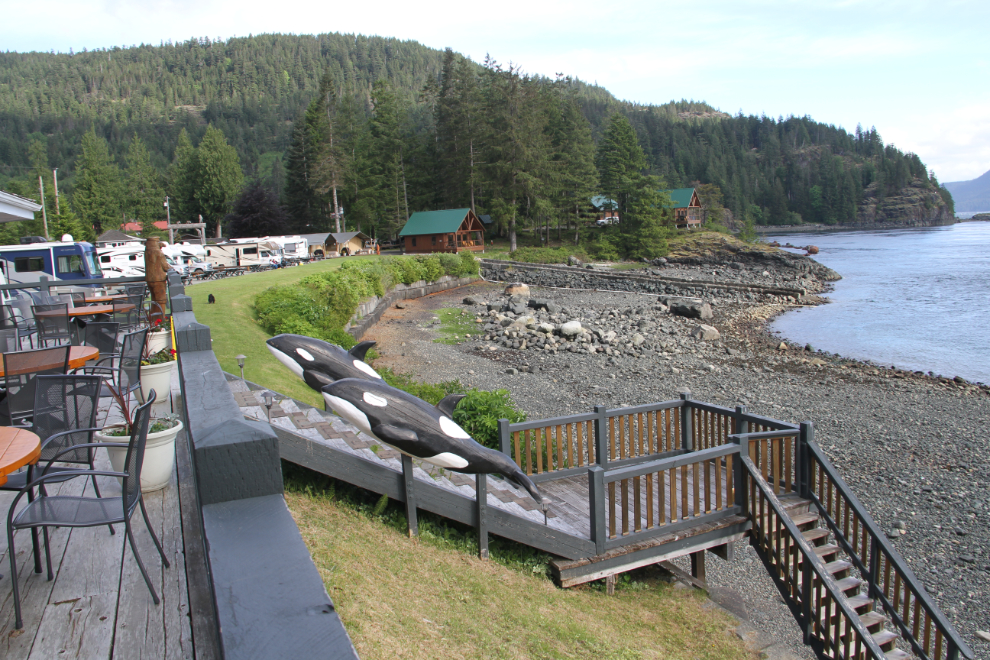
There are 60 RV sites – two sections of oceanfront sites divided by a large octagonal clubhouse, and another 30 or so sites located on a terrace out of sight high above. This is the view to the north from the clubhouse – our motorhome can be seen to the left, with Tucker on the grass out front.
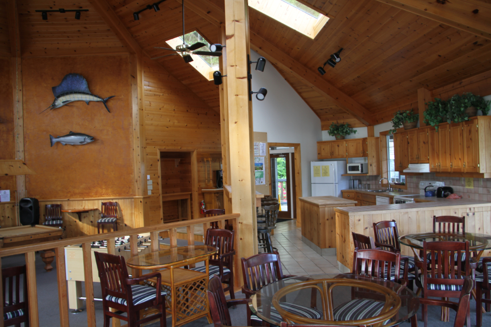
The clubhouse is extremely nice, with a kitchen and adjoining dining area that seats 60, a pool table (seen to the left in the next photo), and a cozy library area with a fireplace.
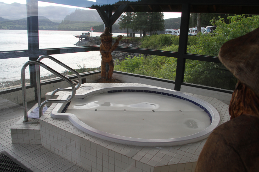
The hot tub looked like a wonderful place to start or end the day, but we never did muster up the energy to try it out.
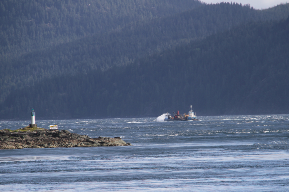
The weather forecast at 5:00 pm the previous evening had a wind warning in effect, with northwesterly winds of 70 gusting to 90 km/h. The winds were supposed to diminish after midnight, but the boats were still pounding through some pretty heavy seas in front of us in the morning. I shot this freight boat at 09:15.
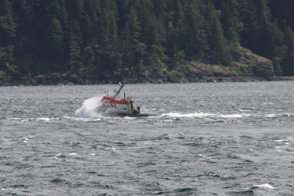
This tug was pounding through at 10:40. Her name is Risco Warrior – I could only make out the “Warrior” part, so posted the photo on the BC Nautical History group on Facebook this morning, and 6 minutes later, I had the complete name.
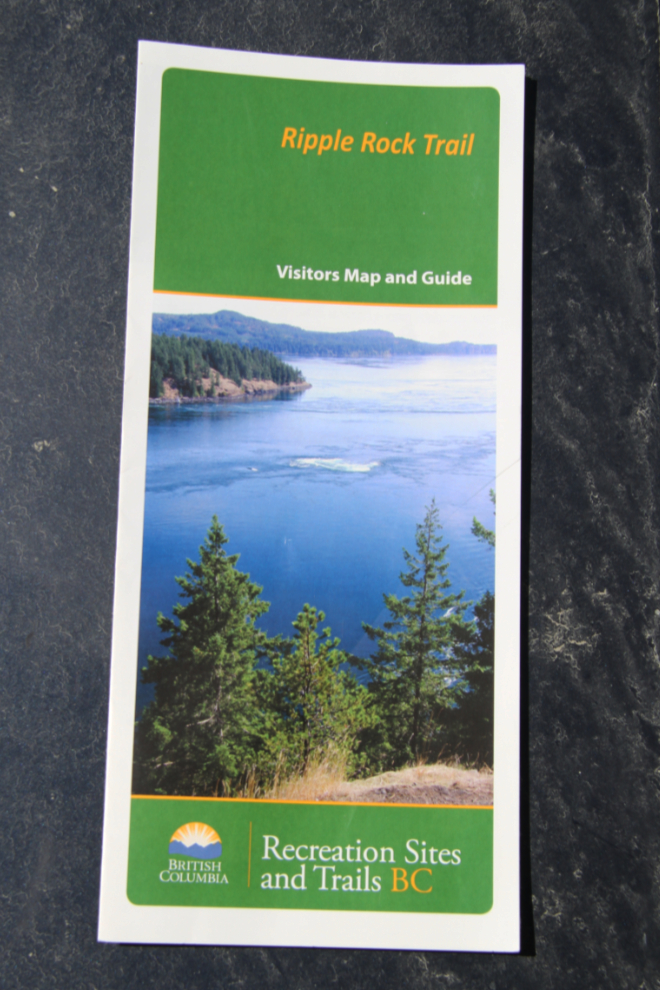
I picked up this Ripple Rock Trail brochure (now a 3.2 MB pdf download) on our northbound stay in Campbell River, but the stars didn’t align correctly to do the hike. It had been nagging at me, though, and today was the day. I had watched the explosion live on TV at 09:31 on April 5, 1958, and had never forgotten it. This hike would be the perfect way for me to complete the story.
The following video will give you an idea of the impact that the Ripple Rock explosion had on navigation through Seymour Narrows. This video focusses more on the shipwrecks and fatalities, and the details of the blast itself.
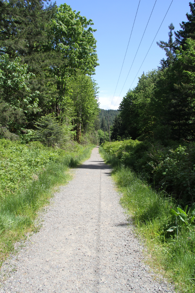
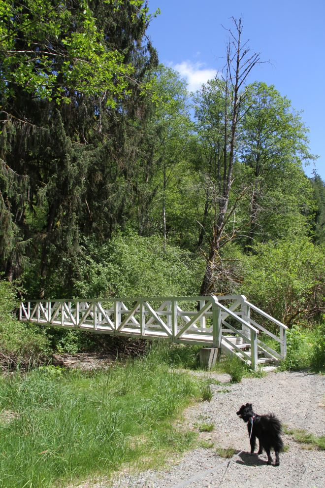
I had decided to just take Tucker on this hike. Boy-dog and I needed some bonding-renewal time, and the girls both needed a day off. Well, all 3 girls, but a day off is Molly’s normal day 🙂 At 12:30, Tucker and I were heading down the trail, which begins on a powerline cut.
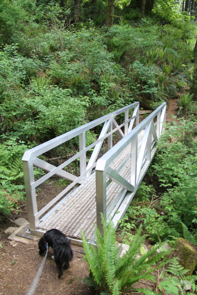
Ten minutes later, we came to the first of several fairly new aluminum bridges. Tucker balked at the open-grate walkway, and I carried him across. Tucker understands well what “Daddy help” means, and always turns to make it easier for me to pick him up. He may just be a little dude, but that sort of trust is important in getting him to be a good trail dog, and it’s working.
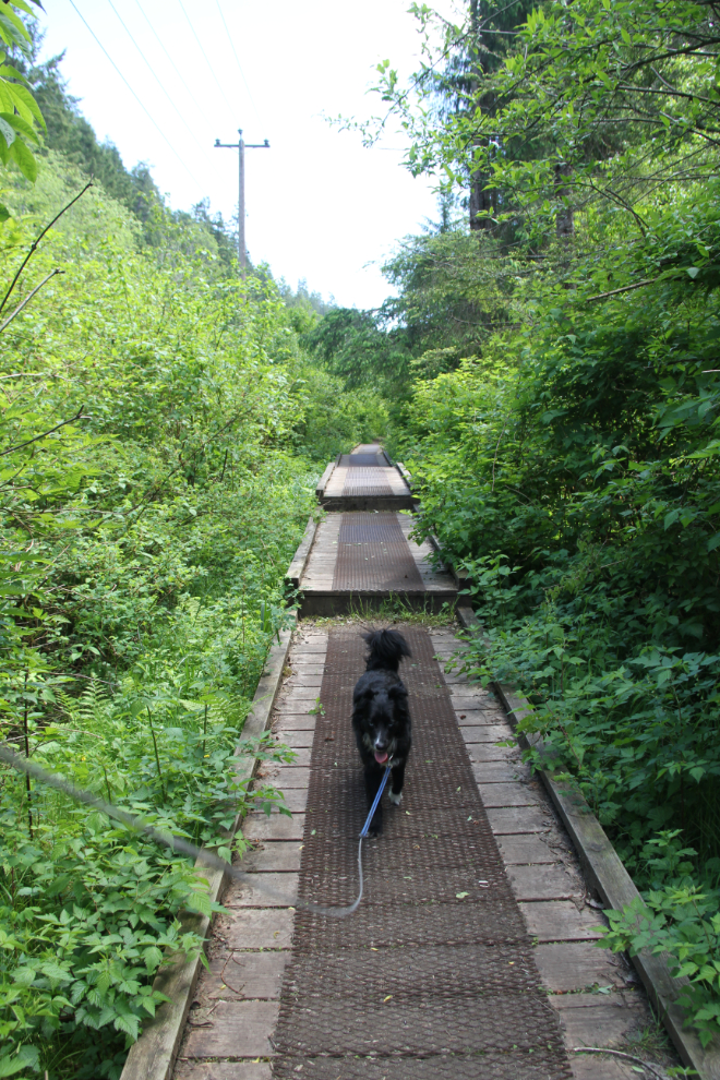
The trail then goes into a brushy area – the sort of area that brings the bear spray out of my pocket in the Yukon. I was carrying bear spray, but it stayed in my pocket on this hike. Sections of boardwalk take the trail across areas that are apparently often wet.
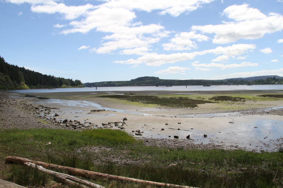
The first of 4 “Viewpoint” signs, at 12:50, led us to this beach at the head of Menzies Bay. We didn’t linger.
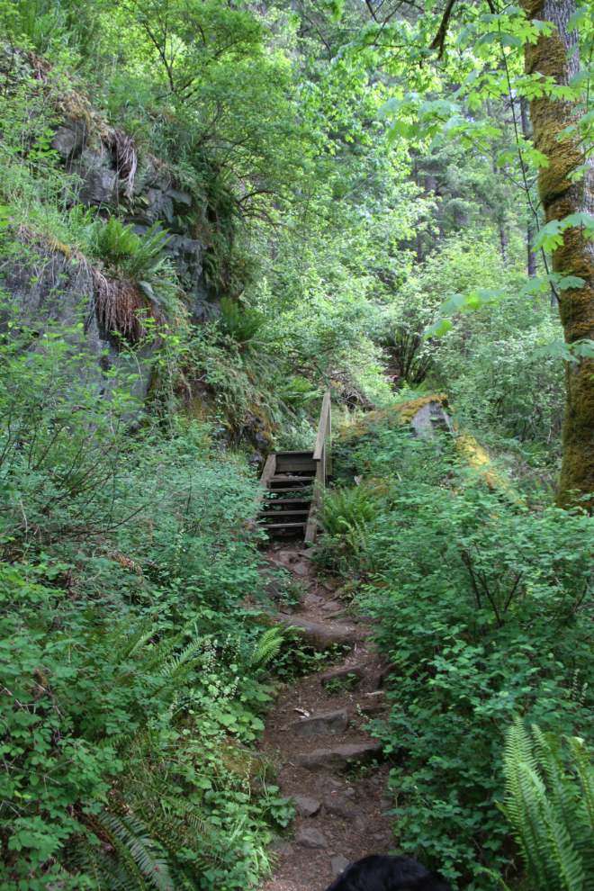
From the beach trail junction, the main trail heads into dense second-growth forest, where it remains for the rest of the distance to the end. It climbs fairly steadily, with occasional stairs to help. The top tread of the stairs in the next photo was missing, and Tucker asked for help to get up.
At 1:00, another of the bridges. At this point it was a given that I’d carry Tucker across these.
Three minutes after the bridge seen above, another viewpoint sign led us to this lovely spot high above Menzies Bay.
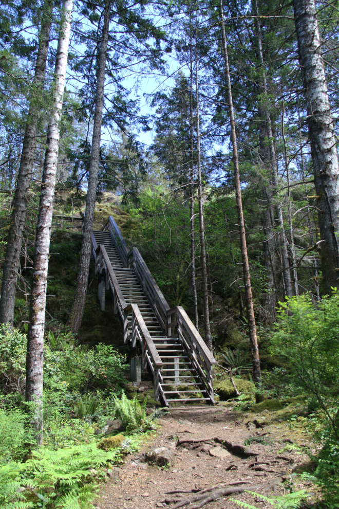
After lots of up and down, stairs and bridges, we came to this long staircase at 1:50. It looked from the bottom like there wasn’t much more land above it.
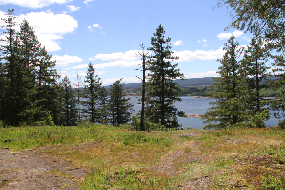
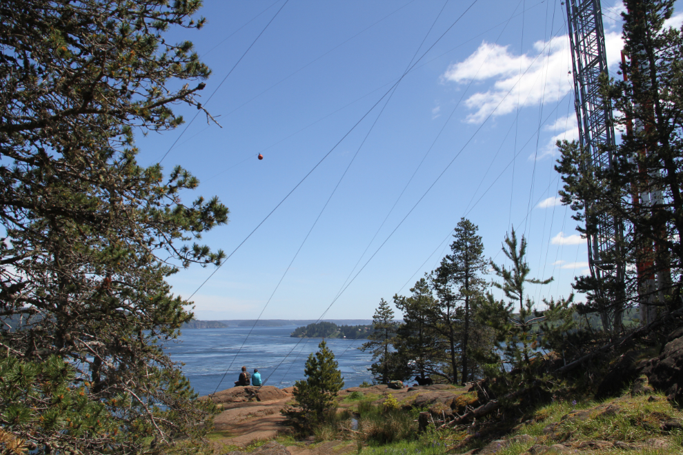
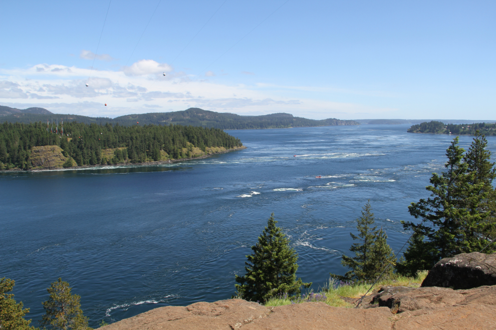
A couple of minutes across bare rock at the top of those stairs, and we got our first view of Seymour Narrows. I was surprisingly excited by this. I suppose it had been in my head for the past 59 years, and now I was seeing it in person. The wires seen in the photo are guy-lines for power-line towers.
The left side of the ripples in the centre of the channel indicate where Ripple Rock used to be. That means that in the waters below us, at least 114 people had died because of that rock. That’s a sobering thought in this spectacular location.
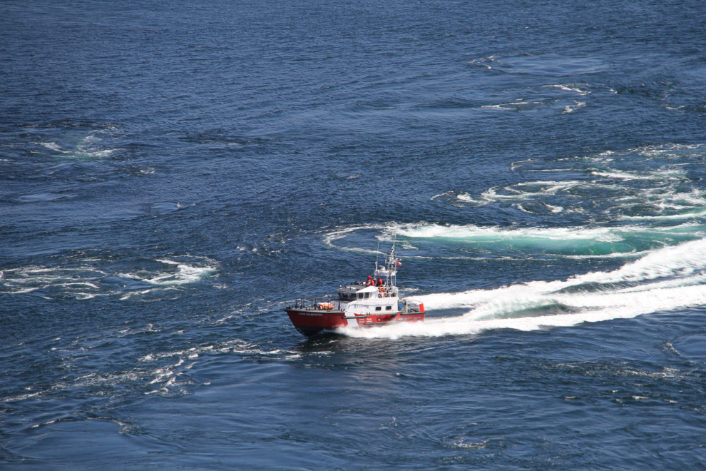
The Coast Guard Search and Rescue Lifeboat Cape Palmerston took the hard way up the channel, for practice and maybe for fun as well.
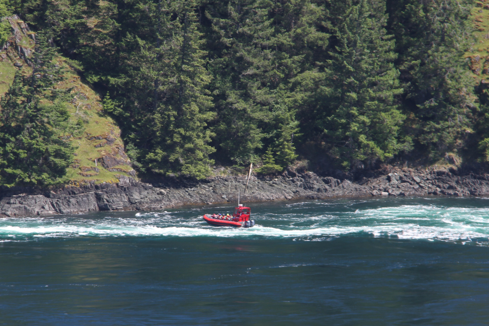
A couple of tour Zodiacs out of Campbell River were also playing in the roughest currents they could find.
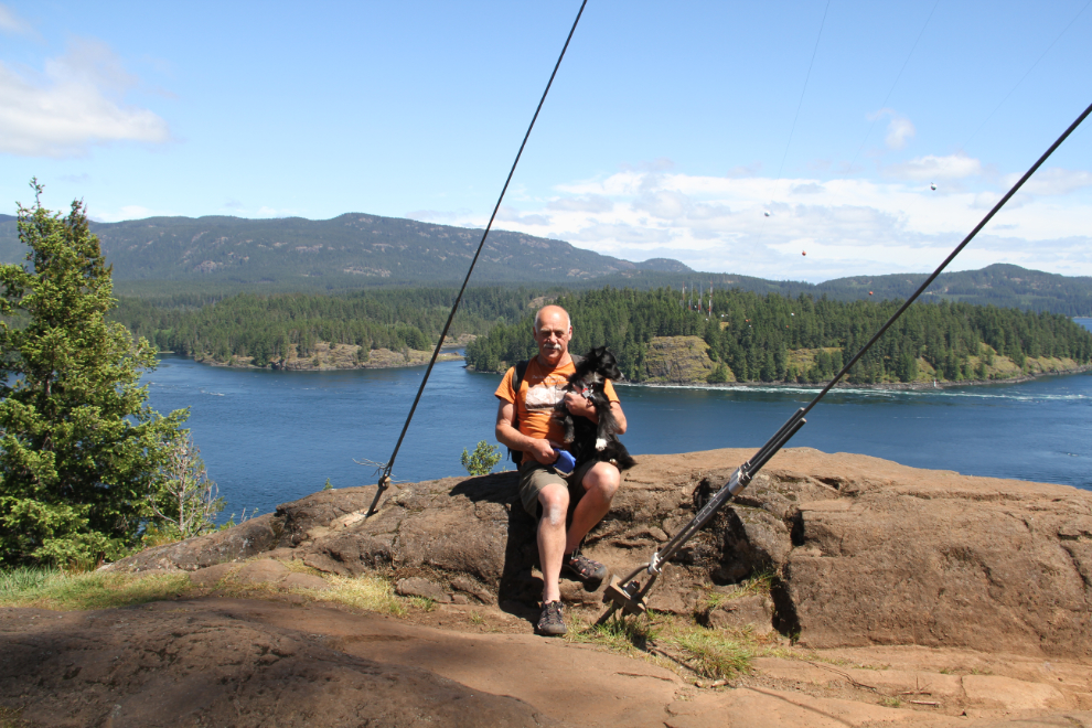
I asked the couple who were enjoying the view with us to record the moment. By this point, I was really glad that I had decided to just bring Tucker. Bella would have had a problem with the stairs as well – especially that last long set – and I can’t really help her.
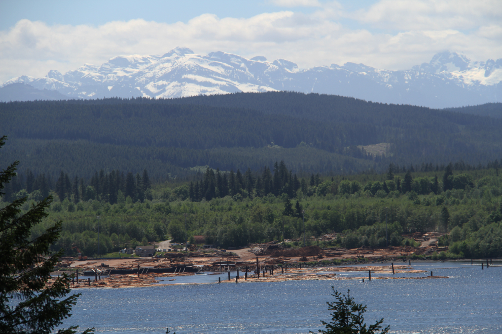
We stayed overlooking the channel for about 15 minutes and then started back. Although I carried Tucker down the long set of stairs, after that he said that he could handle the bridges on his own. He only asked for help once, on the stairs with the missing tread. At 2:15 we were back at the viewpoint overlooking Menzies Bay, where the light was now better to get some photos of the sawmill below us.
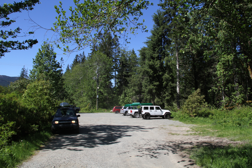
Exactly 3 hours after arriving, very pleased with the way the hike had gone, we pulled out of the parking lot and headed back to Brown’s Bay.
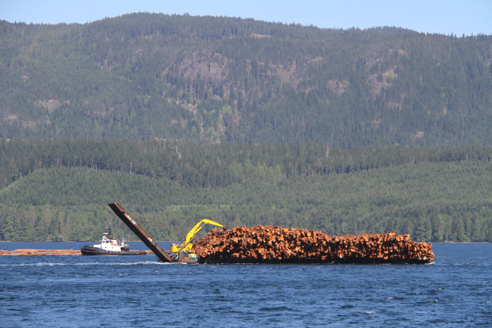
There’s not much boat traffic through Seymour Narrows when the currents are running strong, but within an hour or so each side of slack tide, it gets very busy. At 4:20, the nearer log barge and tug passed a log boom being handled by 2 tugs.
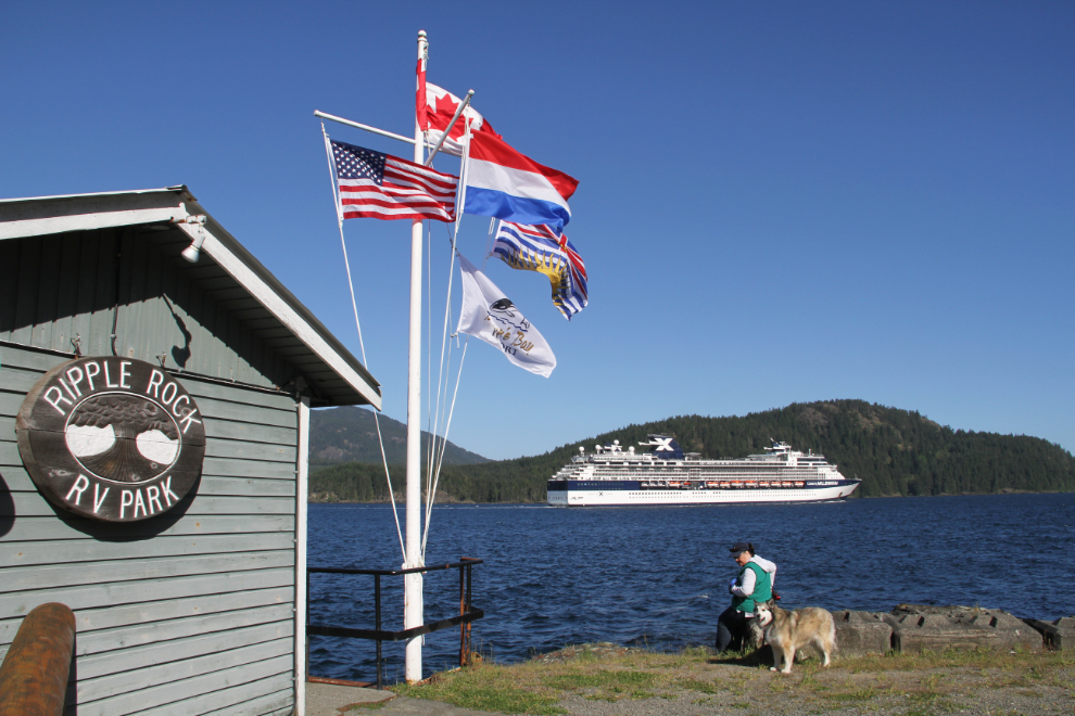
Cathy had noticed on MarineTraffic.com that because of the high winds, the Celebrity cruise ship Millennium would be passing by us on her way to Victoria. At 5:10, there she was. We enjoy seeing any cruise ship, but “the Millie” especially, because we sailed to Alaska on her with a group of friends in 2012, and loved everything about her.
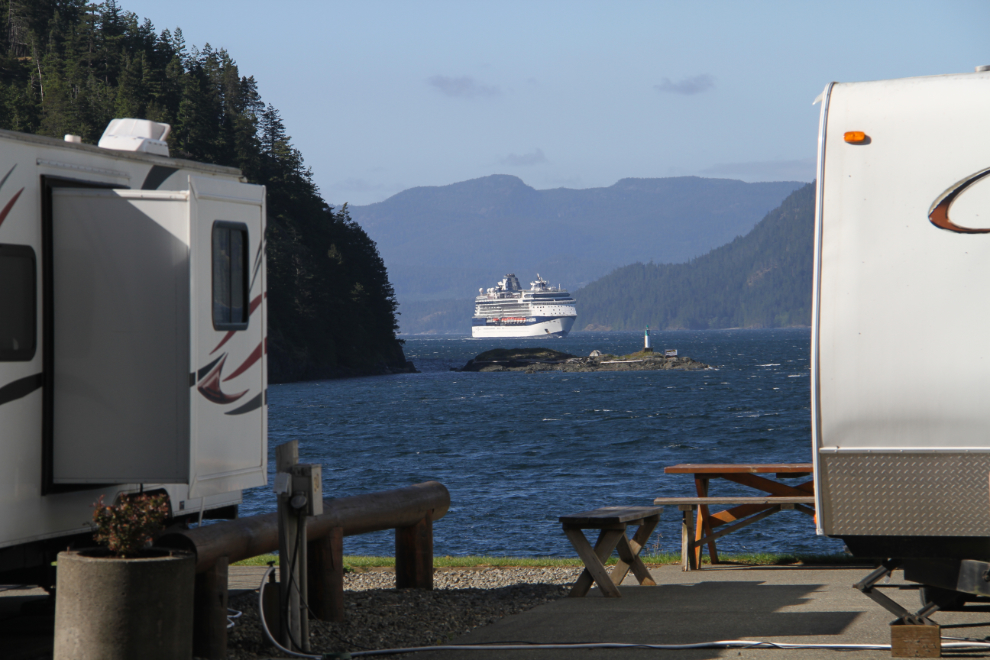
How’s that for a cruise-ship-watching location? 🙂
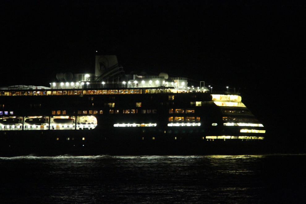
Four more cruise ships were scheduled to pass by us, but northbound at the usual after-dark times. We laid down for a nap, then got up to watch the Volendam (seen in the next photo), the Island Princess, and the Seven Seas Mariner pass by between 11:30 and midnight.
When we went back to bed at midnight, we hadn’t decided yet whether to move on, or stay another day at this marvelous place.